The best walks and hikes around gmina Zagórz
4.4
(197)
2,403
hikers
163
hikes
Hiking around gmina Zagórz offers diverse landscapes at the convergence of Pogórze Bukowskie and Pogórze Leskie, within the Osława River valley and near the Bieszczady Mountains. The region features extensive forest cover, including fir, beech, pine, and spruce trees, and is home to varied wildlife. Terrain ranges from river valleys to surrounding hills, with notable features like the Słonne Mountains Landscape Park. This area provides a range of hiking opportunities across its varied topography.
Best hiking trails around gmina Zagórz
…Last updated: October 10, 2026
4.5
(4)
25
hikers
12.6km
03:32
250m
250m
Hike the moderate 7.8-mile (12.6 km) Sanok - Orli Kamień Loop through Słonne Mountains Landscape Park, featuring Eagle Rocks and panoramic v
4.0
(1)
20
hikers
2.34km
00:43
80m
80m
Hike the easy 1.5-mile Polanki educational trail loop from Bykowce, exploring ancient beech forests and unique rock formations in Gór Słonny

3
hikers
Moderate hike. Good fitness required. Mostly accessible paths. Sure-footedness required.
3
hikers
4.24km
01:15
120m
130m
Hike the easy 2.6-mile Pętla Poraż - Kąty: Pogórze Bukowskie trail for panoramic mountain views, suitable for families.
4.8
(5)
30
hikers
1.87km
00:30
20m
20m
Easy hike. Great for any fitness level. Easily-accessible paths. Suitable for all skill levels.
Get access to more routes and recommendations from other explorers.
Already have an account?
Our route recommendations are based on thousands of hikes, rides, and runs completed by other people on komoot.
Start today with a free account
Your next adventure awaits.

Tips from the Community

The Confederates' fight for our homeland's independence – the first Polish uprising against the partitioning powers – lasted four years, and the last battle, fought three months after the first partition of Poland, took place on November 29, 1772, in the fields surrounding Zagórz, still known today as "Pułaski's Trenches." Source (discussing the second, earlier monument to the Unknown Confederate, which has stood in the center of Zagórz since 2018): Monument to the Unknown Confederate in Zagórz - News - Regional Directorate of State Forests in Krosno - State Forests https://share.google/YG3WmxO7Gyn55Y3La
0
0


The site of the mass execution of 112 prisoners from the Sanok prison on July 5/6, 1940 is located on the right side of the road when traveling from Tarnawa to Huzele. The landmark is the timber yard on the right, where you can park your car without disturbing forest workers. Then walk several dozen meters towards the town of Huzele and turn sharply to the right along a noticeable grassy road.
2
0
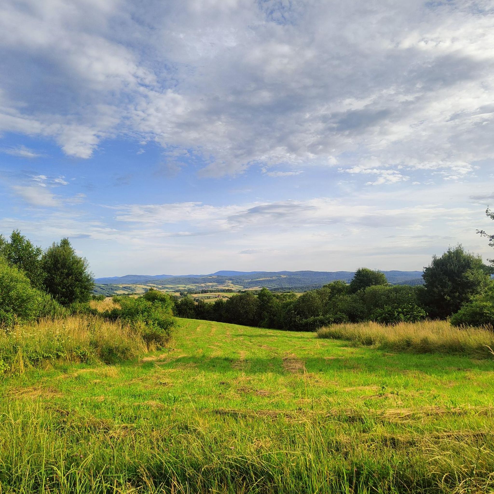
Kąty Peak (another name for the Mountain) with a height of 525 m above sea level. is a little-known peak from the Crown of the Sanok Land. You can reach it via a short route from the village of Poraż. There are many viewing glades along the route from which we can admire the panorama of the Bieszczady Mountains.
2
0
Viewpoint of the Bieszczady Mountains on the blue Sanok - Chryszczata trail.
2
0
The Polanki nature reserve was established in 1996 to protect natural forest communities of the Carpathian beech forest. A nature and educational trail with a length of approximately 2 kilometers was created within the reserve. It is located 8 km from the center of Sanok, you can get there by car or public transport. There is tourist infrastructure on the path, including a shelter with a bonfire place and 10 thematic stops. The stops present various species of trees, birds, mushrooms, monumental firs, Carpathian beech forest and rare plant species. During the hike, it is worth paying attention to the 19th-century earthworks at stop No. 2, used for primitive oil extraction. The path can be visited all year round, but it is recommended in spring due to the flowering plants.
1
0
Frequently Asked Questions
How many hiking trails are available in gmina Zagórz?
Gmina Zagórz offers a wide variety of hiking opportunities, with over 130 trails to explore. These routes cater to different skill levels, from easy nature walks to more challenging climbs through the diverse terrain.
Are there easy hiking options suitable for beginners or families?
Yes, gmina Zagórz has numerous easy trails perfect for families or those seeking a gentle walk. For instance, the Polanki Nature and Educational Trail is an accessible 1.4-mile (2.3 km) path designed for an enjoyable nature experience.
What kind of landscapes can I expect to see while hiking in gmina Zagórz?
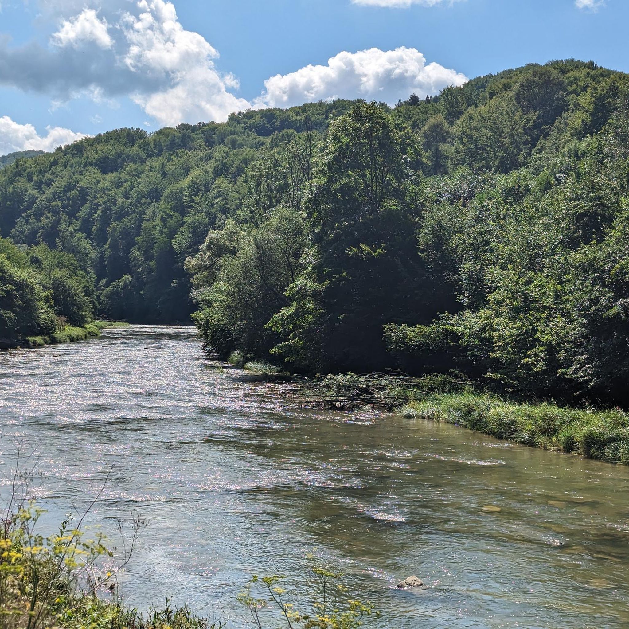
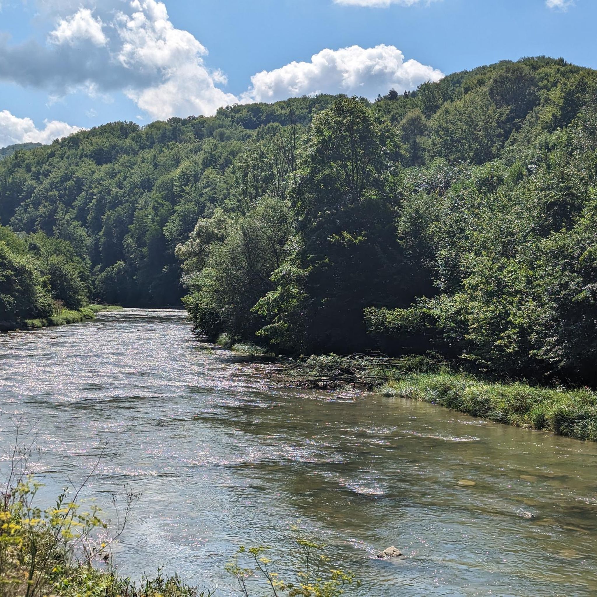
Hikers in gmina Zagórz will encounter a diverse landscape, from the picturesque Osława River valley to the surrounding hills and the foothills of the Bieszczady Mountains. The region is characterized by extensive forests of fir, beech, pine, and spruce, and includes parts of the Słonne Mountains Landscape Park, offering varied topography and stunning natural beauty.
Are there any circular hiking routes in the area?
Yes, several circular routes are available. An example is the Loop Przełęcz pod Gruszką - Gruszka - Huzele, which offers a moderate 5.3-mile (8.5 km) hike through varied terrain, providing a complete experience without retracing your steps.
What are some notable viewpoints or attractions along the trails?
Gmina Zagórz boasts several excellent viewpoints and attractions. The ruins of the Discalced Carmelite Monastery on Mariemont Hill offer not only historical interest but also a 22-meter viewing tower with panoramic views of the Osława River and the Bieszczady Mountains. Additionally, the Eagle Rock is a significant formation within the Słonne Mountains Landscape Park, providing stunning vistas.
Can I bring my dog on the hiking trails in gmina Zagórz?
Generally, dogs are welcome on many hiking trails in gmina Zagórz, especially those outside of strict nature reserves where specific rules might apply. It's always recommended to keep your dog on a leash and ensure you clean up after them to preserve the natural environment for everyone.
What is the best time of year to go hiking in gmina Zagórz?
The best time to hike in gmina Zagórz depends on your preferences. Spring and autumn offer pleasant temperatures and beautiful scenery, with vibrant foliage in fall. Summer is ideal for longer days and warmer weather, while winter provides a unique experience for those equipped for snow, transforming the landscape into a serene, white wonderland.
Are there any long-distance or more challenging trails for experienced hikers?
For experienced hikers, gmina Zagórz offers more challenging options. The Green hiking trail, approximately 20 km long from Zagórz to Komańcza, provides medium difficulty and views of the monastery ruins and Słonne Mountains. The Papal Trail also extends further to Chryszczata Mountain, offering a more extensive journey.
What do other hikers enjoy most about hiking in gmina Zagórz?
The komoot community highly rates hiking in gmina Zagórz, with an average score of 4.4 stars from over 170 reviews. Hikers frequently praise the region's extensive forests, the scenic river valleys, and the varied terrain of the Słonne Mountains, highlighting the diverse options available for all ability levels.
Are there any specific trails that lead to natural monuments or unique geological features?
Yes, the region is home to 16 designated nature monuments. The Słonne Mountains Landscape Park, which you can explore via routes like the Sanok - Orli Kamień Loop, features formations like the Eagle Rock. The Osława River also carves a meander with large boulders and an old railway viaduct, creating unique natural sights.
Is public transport available to access hiking trailheads in gmina Zagórz?
Public transport options, such as local buses or trains, can provide access to some trailheads, particularly those starting from larger towns like Zagórz itself. For more remote starting points, personal vehicles or local taxi services might be necessary. It's advisable to check local schedules and routes in advance.
Are there any cultural or historical trails in the area?
Absolutely. The Papal Trail (Gminny Szlak Papieski) traces the footsteps of Karol Wojtyła (Pope John Paul II) from the Zagórz train station to the ruins of the Discalced Carmelite Monastery. Additionally, the Wooden Architecture Trail allows hikers to explore the region's multicultural heritage through preserved Orthodox churches and traditional cottages in villages like Huzele, Tarnawa, and Łukowe.
Most popular routes around gmina Zagórz
Most popular attractions around gmina Zagórz

Get inspired with the komoot mobile app


Explore more
Browse the best Hikes in other regions.
