The best MTB trails around gmina Zagórz
4.8
(57)
407
riders
101
rides
Mountain biking around gmina Zagórz offers diverse landscapes at the foothills of the Bieszczady Mountains. The region is characterized by the scenic Osława River valley and extensive forest complexes, covering approximately 41.8% of the area. Terrain varies from riverine landscapes to hilly sections, providing a mix of forest roads, gravel paths, and narrow trails. This varied environment supports mountain biking routes with different levels of challenge.
Best mountain bike trails around gmina Zagórz
- The most popular mountain bike trail is…
Last updated: October 13, 2026
5.0
(3)
18
riders
25.5km
02:07
460m
460m
Moderate mountain bike ride. Good fitness required. Suitable for all skill levels.
8
riders
30.1km
02:16
350m
350m
Moderate mountain bike ride. Good fitness required. Advanced riding skills necessary.

5.0
(1)
9
riders
54.2km
03:54
790m
790m
Moderate mountain bike ride. Good fitness required. Suitable for all skill levels.
10
riders
Moderate mountain bike ride. Good fitness required. Suitable for all skill levels.
6
riders
35.8km
02:20
430m
430m
Moderate mountain bike ride. Good fitness required. Suitable for all skill levels.
Get access to more routes and recommendations from other explorers.
Already have an account?
Our route recommendations are based on thousands of hikes, rides, and runs completed by other people on komoot.
Start today with a free account
Your next adventure awaits.

Tips from the Community

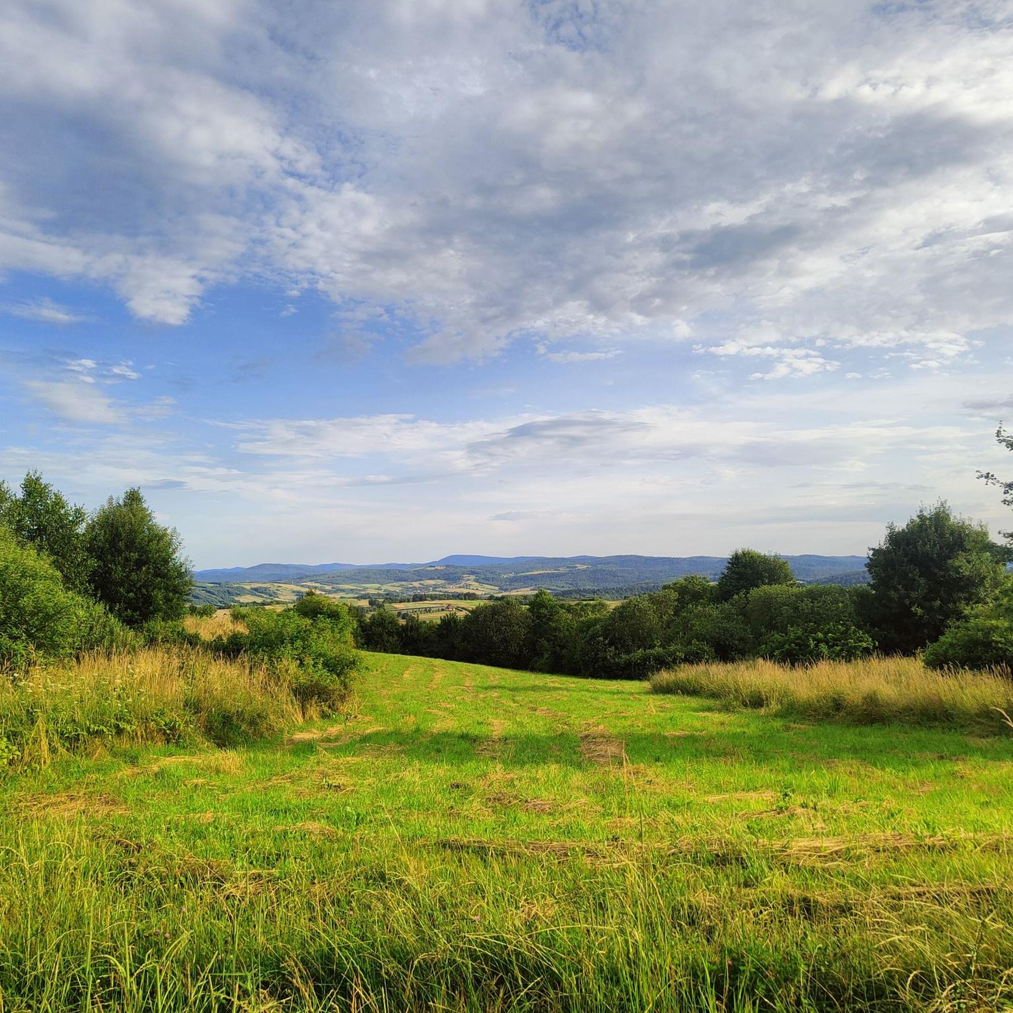
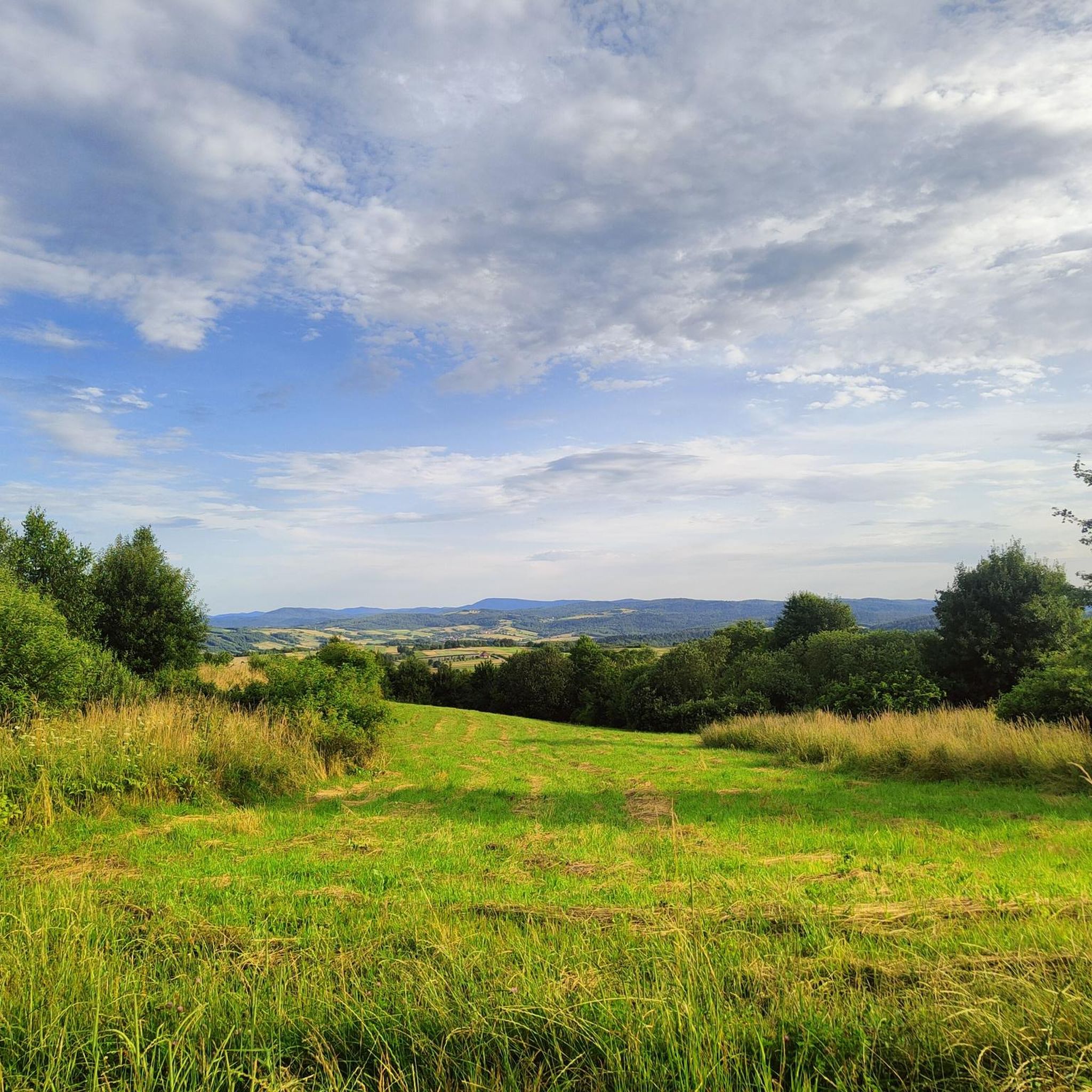
Królewska Studzienka is located on the border of the Biała Góra settlement and the large forest complex covering the extensive Słonne Mountains. From the Sanok side, the asphalt road leads to the last MKS bus stop, then access via Świerkowa street of deteriorating quality, and after the chapel there is only a narrow, dirt forest road. Recently, access is also possible from the forest side, where Lasy Państwowe built a wide road for their own needs, which the people of Sanok use for recreational purposes. There is a warning sign about bears at the well. WW
0
0
Data form for a natural monument. Name Zofia (...) Description The Japanese magnolia (Magnolia kobus) tree measures 9.9 m in height, and the trunk circumference measured at a height of 130 cm is 152 cm. (...) The magnolia is a distinctive landscape element due to its slightly inclined form and very high ornamental value during flowering and vegetation. It also stands out for its size and spreading crown – among other trees of the same genus or species at least in the municipality. The tree stands out in the area for its advanced age, estimated at approximately 70 years. The tree remains in good sanitary condition, has a fully leafy crown, and blooms profusely in spring, attracting the attention of residents and tourists. (...) Source and more: https://crfop.gdos.gov.pl/CRFOP/download/pdf/PL.ZIPOP.1393.PP.1817011.2617.pdf
0
0
The monument stands in front of the Zagórz train station. It commemorates the numerous visits of the future Pope – John Paul II to Zagórz. During the communist era (1944-1989), rail transport was the basis of passenger traffic in Poland and Zagórz was the final station for long-distance trains from Warsaw, Krakow and Katowice. Most trains went through Jasło, Krosno and Sanok, but there was also a train going from Przemyśl on a short extraterritorial section (through the USSR) to Krościenko and then through Ustrzyki Dolne, i.e. it reached Zagórz from the east. WW
0
0

5 km ascent to Przełęcz Przysłup (620 m) from Tyrawa Wołoska. The elevation gain is 280 m, and the average gradient is 5.9%, sometimes reaching 12%, which makes this ascent the fourth most difficult in the Podkarpackie region. Smooth and good quality asphalt.
2
0

great, I recommend it to every cyclist!
0
0
Pod Skałą Street is a pompous name for a dirt road connecting the outskirts of Sanok with the village of Trepcza. There is an alternative road with walking qualities, passable by cars with larger wheels and bicycles with thick tires. At both ends of this road, new houses have been built and the surface is slightly better, while in the middle part the area is desolate and the surface is terrible - stony and in one place covered with wedges, probably to discourage cyclists. It is worth getting off your bike here. A bit further on, an unexpectedly beautiful view of the Sanok Old Town opens up. You can see the Franciscan church, the Sanok parish church with two towers, the royal castle on the left, the Orthodox church below and other buildings growing over the hill that constitutes the central part of the city. WW
0
0
Recently, asphalt was laid on the last missing section (counting from the observation tower through Dolina to the Sewage Treatment Plant in Zagórz) - I mean the short section from the barbecue area on the San River towards the buildings of the village of Dolina. The section where the bicycle route moves away from the San River and has the character of a local street, without the "pedestrian and bicycle path" signs. When driving after dark, be careful of the deep ditch along this street.
1
1
Pet lovers can meet a black cat with beautiful, shiny fur in the cafe, preferably lounging on the chairs. Be careful with stroking! This animal has its own moods and unexpectedly when petting it, it can bite - I barely had time to withdraw my hand. The cat has a good life: he visits the cafe during the day and spends the nights in the office, where he has his own litter box. WW
0
0
Frequently Asked Questions
How many mountain bike trails are available in gmina Zagórz?
There are over 80 mountain bike trails in gmina Zagórz, offering a wide range of options for different skill levels. The komoot community has explored these routes over 320 times.
What are the difficulty levels of mountain bike trails in gmina Zagórz?
Gmina Zagórz offers a diverse range of trails. You'll find 12 easy routes, 62 moderate routes, and 8 difficult routes, catering to beginners, intermediate riders, and experienced mountain bikers looking for a challenge.
Are there any long-distance mountain bike trails in gmina Zagórz?
Yes, gmina Zagórz features several longer routes. For example, the View of Sanok Old Town loop from Sanok is one of the longest at 46.2 km. Another substantial option is the Beggar's Pass – Church loop from Gołoborze, which covers 44.9 km.
What kind of terrain can I expect on the mountain bike trails in gmina Zagórz?
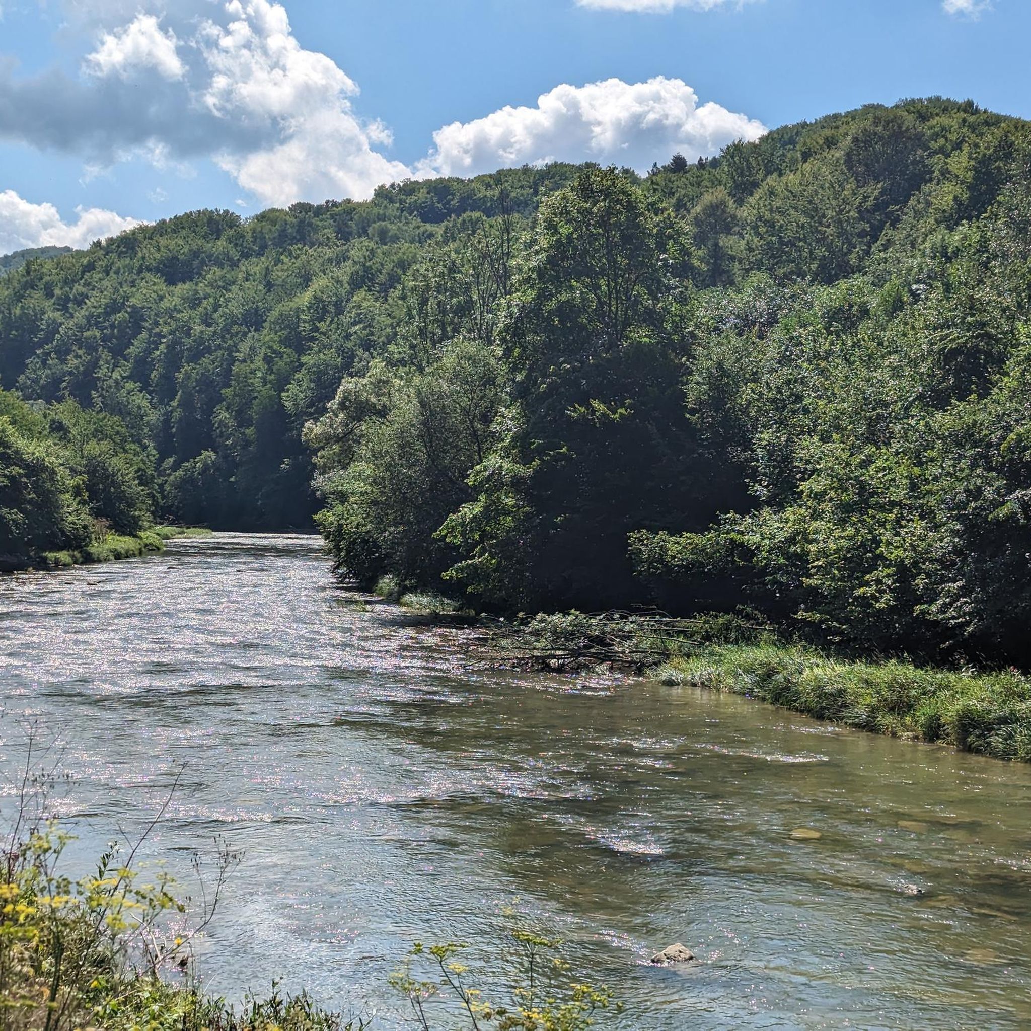
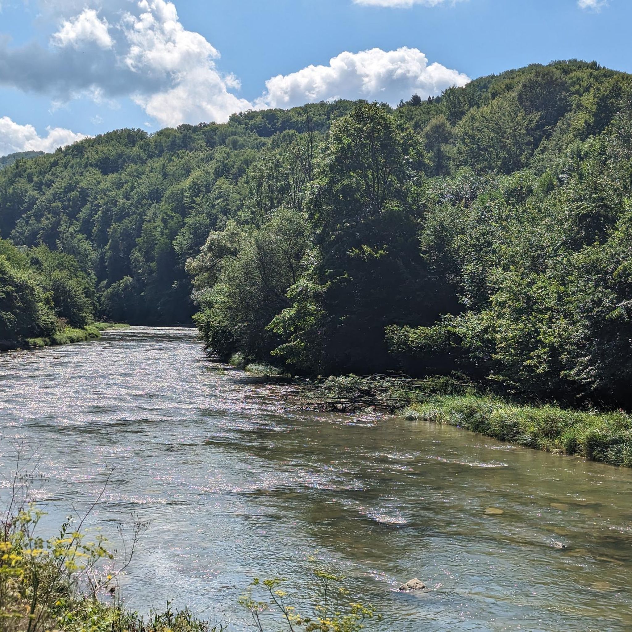
The terrain in gmina Zagórz is varied, ranging from riverine landscapes along the Osława River valley to hilly sections within extensive forest complexes. You'll encounter a mix of forest roads, gravel paths, and narrow trails, providing a dynamic riding experience.
What natural features or landmarks can I see while mountain biking in gmina Zagórz?
The trails often pass through the scenic Osława River valley and dense forests. You can also find routes that lead to significant natural landmarks such as Eagle Rock. The region is also partly within the protected Cisna-Wetlina Landscape Park, offering beautiful natural surroundings.
Are there any scenic viewpoints along the mountain bike trails?
Yes, gmina Zagórz offers several scenic viewpoints. The region research mentions spots like Skowronówki, Spod Krzyża, Gruszki, Góry Leskiej, and Klasztorne Hill, which provide panoramic views of the Bieszczady Mountains and the local landscape. Some routes, like the Beggar's Pass – Church loop from Gołoborze, offer views of the Osława River valley and surrounding hills.
What do other mountain bikers say about the trails in gmina Zagórz?
The mountain bike trails in gmina Zagórz are highly rated by the komoot community, with an average score of 4.8 stars from over 44 reviews. Riders often praise the diverse landscapes, the mix of forest roads and challenging trails, and the overall natural beauty of the region.
Are there any loop trails suitable for mountain biking in gmina Zagórz?
Yes, many of the mountain bike trails in gmina Zagórz are designed as loops. Popular examples include the Eagle Rock – Orthodox church loop from Sanok Miasto and the Durbacka – Stróżowskie Łazy loop from Rezerwat Polanki, which allow you to start and finish at the same point.
Can I find trails that pass by historical sites or cultural attractions?
Yes, some routes incorporate historical and cultural elements. For instance, the region research mentions routes leading past the monumental ruins of the 18th-century Carmelite Monastery in Zagórz. The Zagórz Railway Open-Air Museum loop from Rezerwat Polanki also offers a cultural point of interest.
What is the best time of year for mountain biking in gmina Zagórz?
The region's diverse landscapes are enjoyable throughout the warmer months. Spring and autumn offer pleasant temperatures and vibrant scenery, while summer provides longer daylight hours. The extensive forest cover can offer shade on hotter days.
Are there any family-friendly mountain bike trails in gmina Zagórz?
Gmina Zagórz offers 12 easy routes that are generally suitable for families or those looking for a less strenuous ride. These trails often feature less elevation gain and smoother paths, making them accessible for various fitness levels.
What kind of wildlife might I encounter on the trails?
The vast forest complexes in gmina Zagórz are home to a rich array of wildlife. While sightings are not guaranteed, the area is known to host bears, European bison, lynx, and wolves, offering a chance to experience nature in its raw form.
Most popular routes around gmina Zagórz
Most popular attractions around gmina Zagórz

Get inspired with the komoot mobile app


Explore more
Browse the best MTB trails in other regions.
