Attractions and Places To See around Stausee Sosa - Top 6
Best attractions and places to see around Stausee Sosa are primarily centered around its natural beauty and recreational opportunities within the Erzgebirge region. This reservoir, also known as Talsperre Sosa, was built as a drinking water source and is surrounded by scenic forests. Visitors can explore an approximately eight-kilometer-long circular path around the reservoir, ideal for walking and cycling. While swimming is not permitted, the area offers various hiking routes and natural landmarks.
Best attractions and places to see around Stausee Sosa
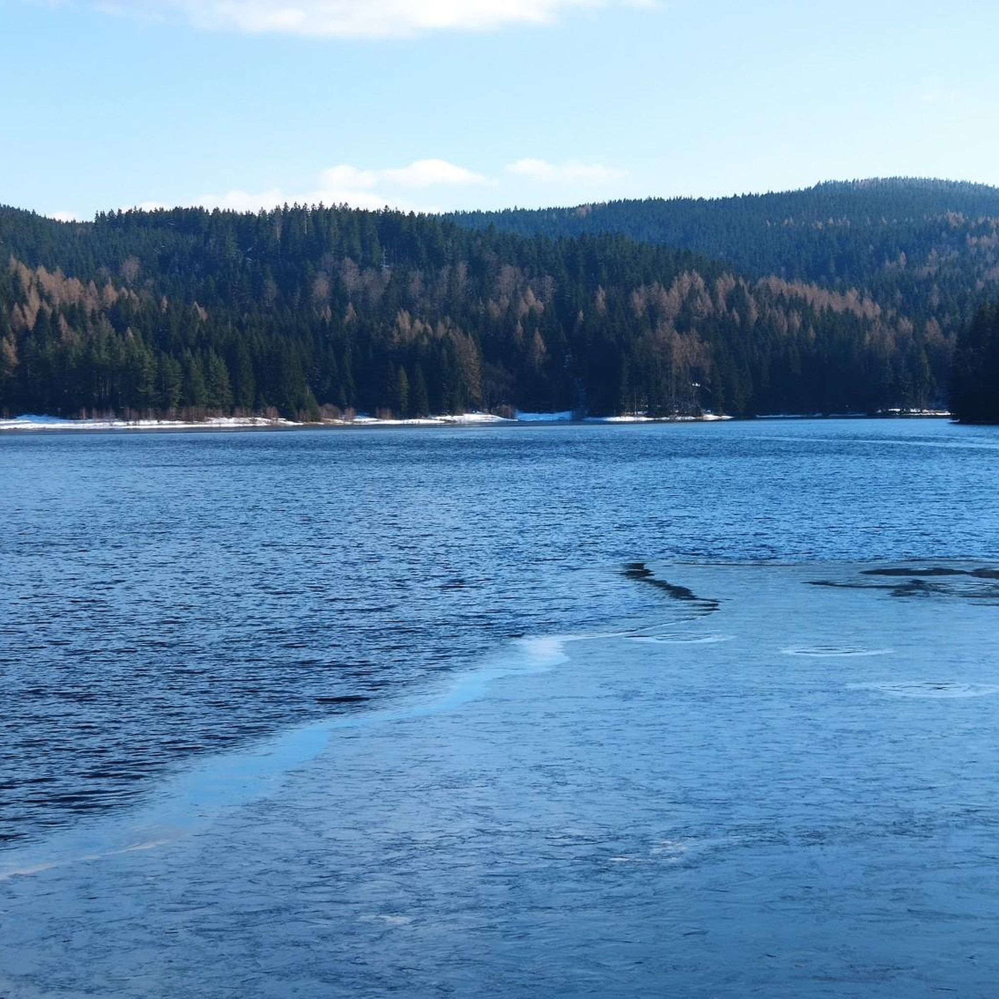
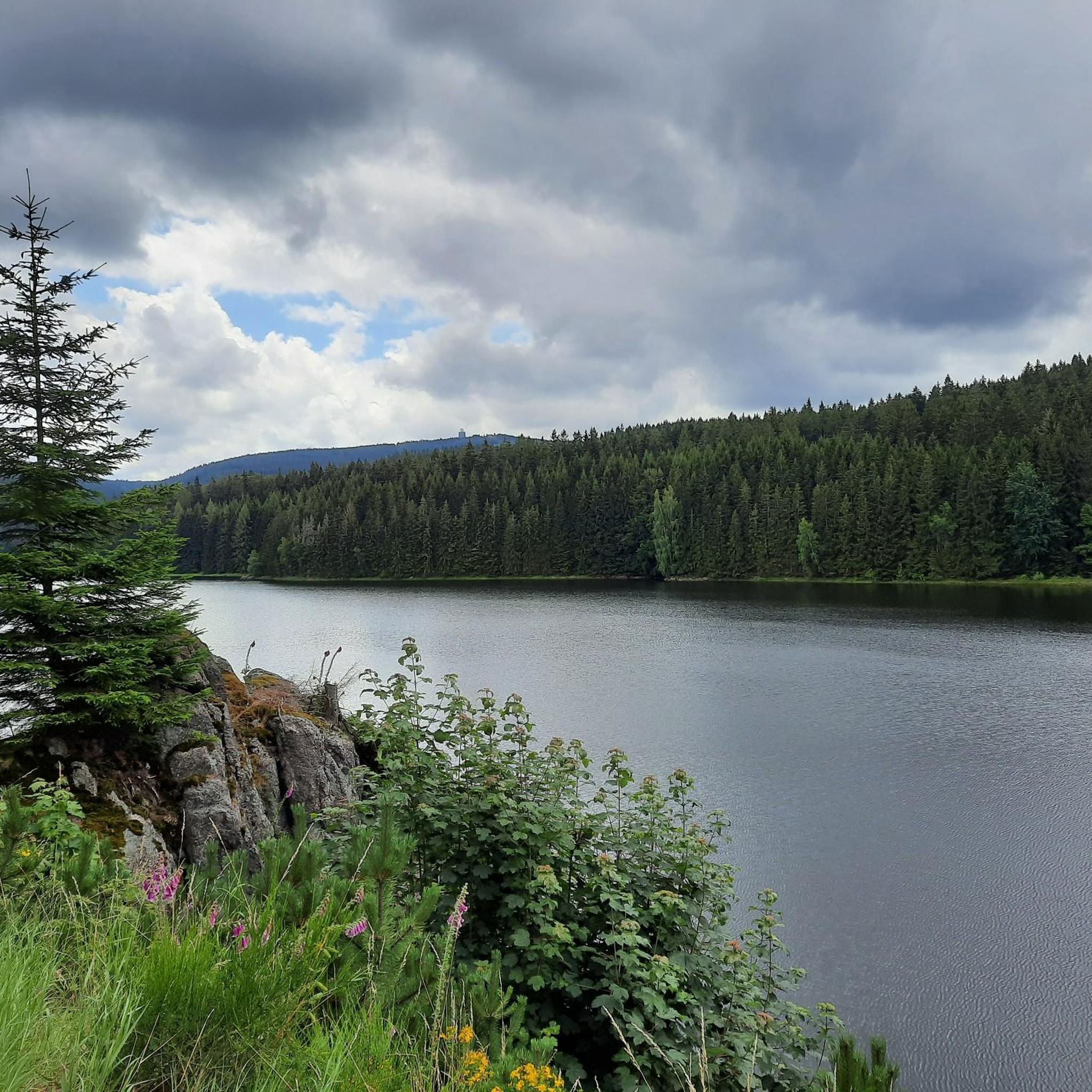
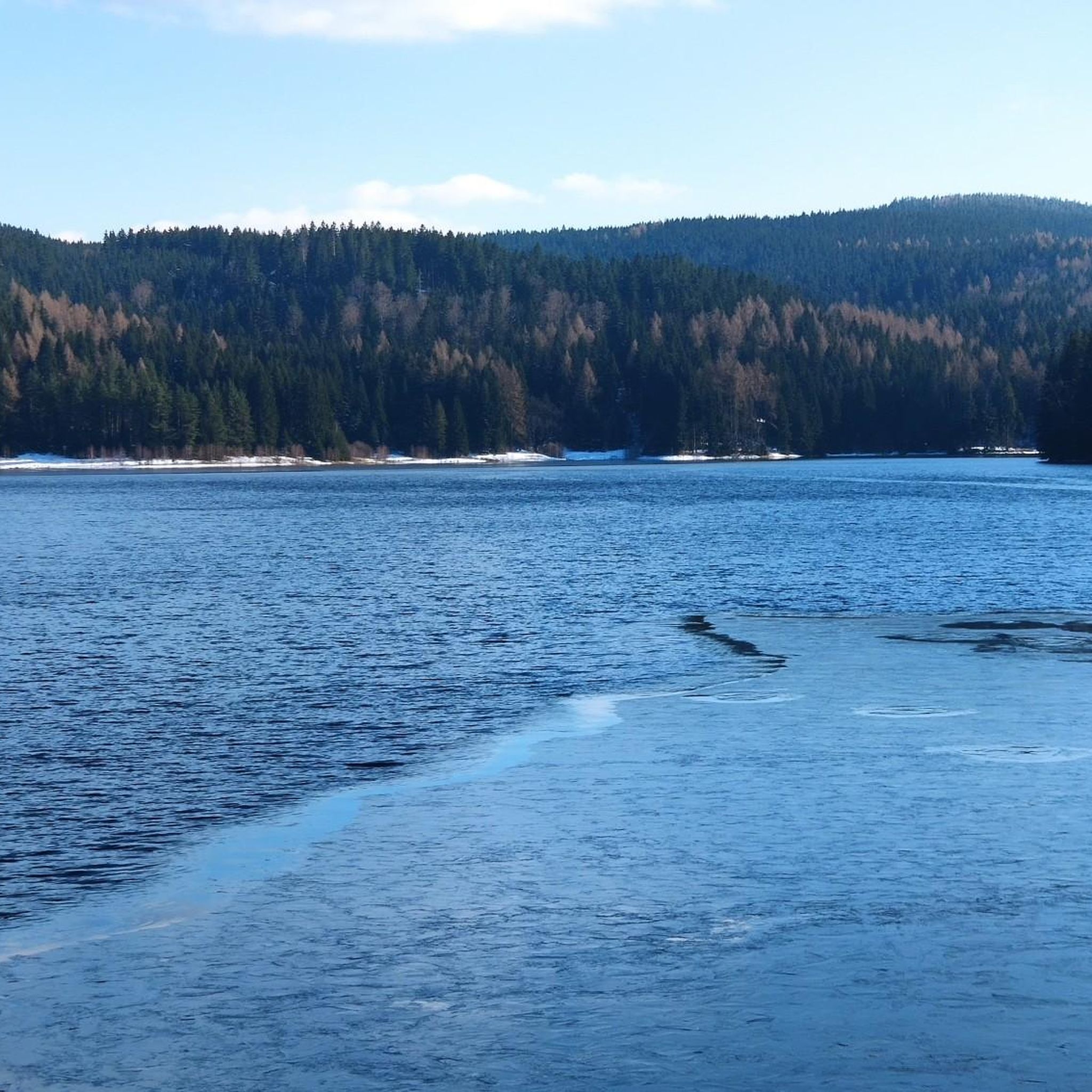
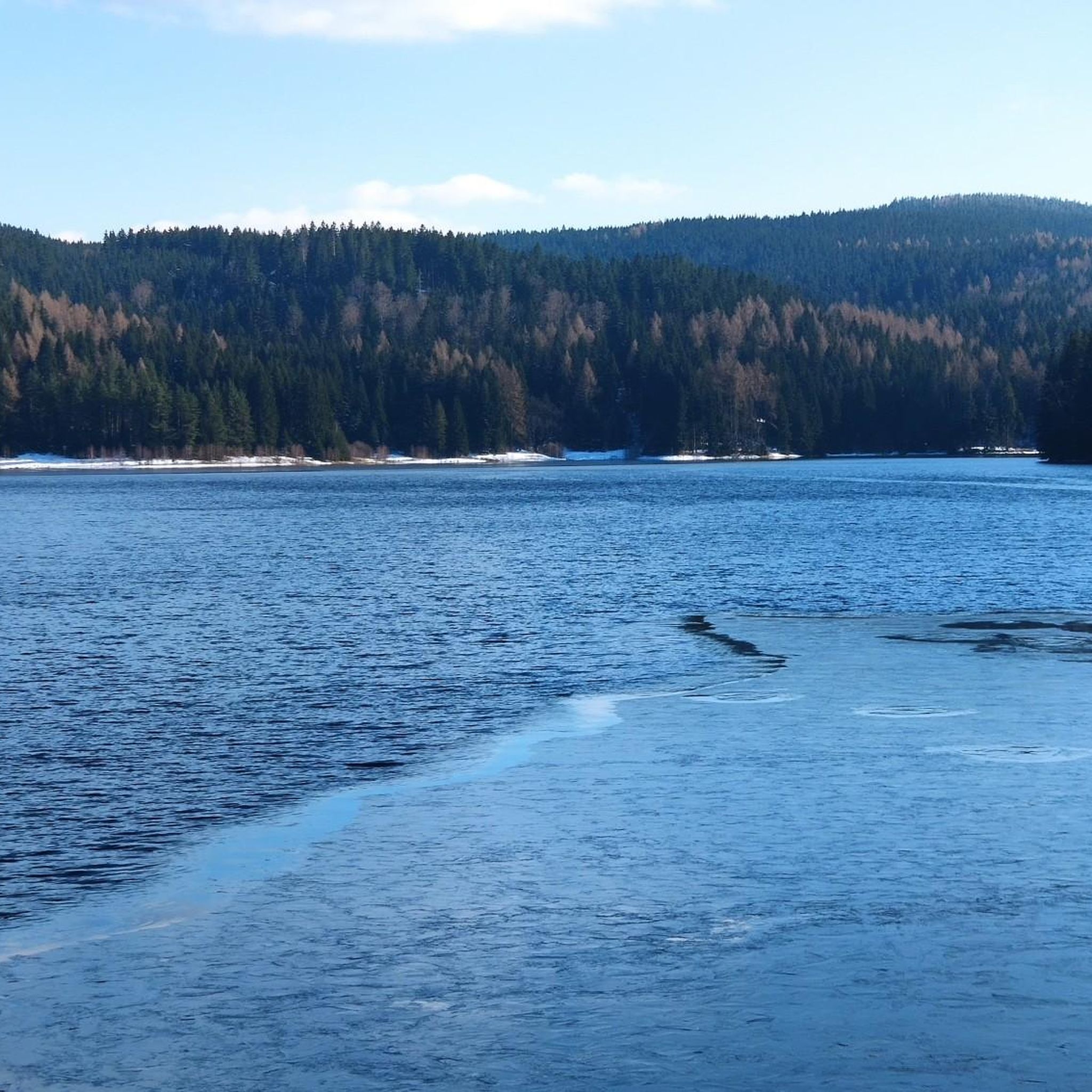
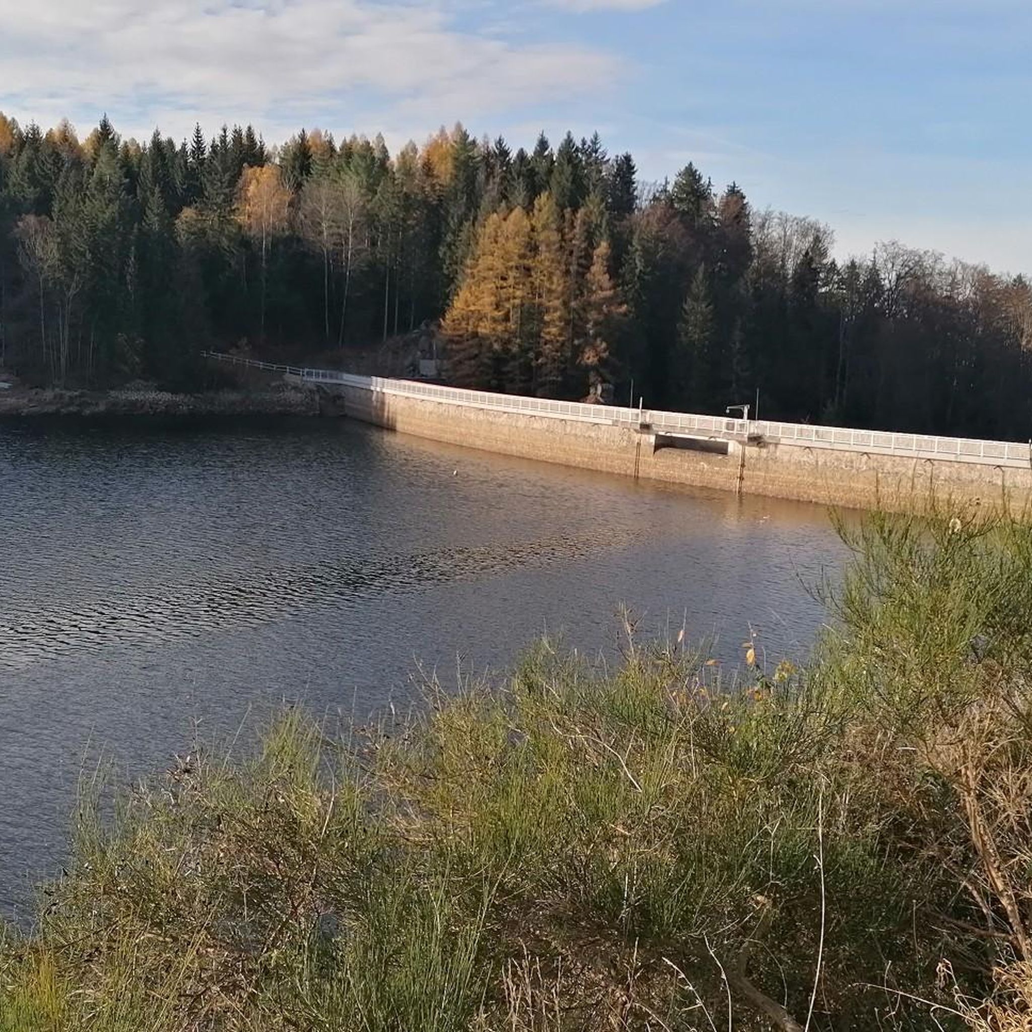
- The most popular attractions is Sosa Reservoir, a lake that offers picturesque panoramic views from its dam wall over the surrounding forests. It is a central point for hikes around the dam and a beautiful natural feature.
- Another must-see spot is Höllengrundspitz, a natural monument. This rock formation provides a unique "sandstone feeling" to the Erzgebirge region and is an interesting place for some climbing, requiring sturdy shoes.
- Visitors also love Scramble Trail at Höllengrundspitze, a climb described as a fun and not-too-strenuous path. It features steps and natural stages formed by stones and roots, offering a unique hiking experience with an alpine character.
- Stausee Sosa is known for its reservoir, natural rock formations, and varied hiking and cycling trails. The region offers a range of attractions to see and explore, from scenic viewpoints to challenging paths.
- The attractions around Stausee Sosa are appreciated by the komoot community, with more than 800 upvotes and over 550 photos shared across 6 highlights.
Last updated: July 6, 2026
Sosa Reservoir
Highlight • Lake
Translated by Google •
Tip by

View of Sosa Dam
Highlight • Viewpoint
Translated by Google •
Tip by

Sign up now to discover places like this
Get recommendations on the best single tracks, peaks, & plenty of other exciting outdoor places.
Sign up for free
Scramble Trail at Höllengrundspitze
Highlight (Segment) • Climb
Nevertheless: Thanks to the signage (hiking symbols on the trees at the entrance below the dam and arrows along the Kraxelweg) he is considered an official trail - and fun! Not too strenuous, not to 0-8-15 ... and also very good with climbing four-legged doable.
Thanks to the rock formation "Höllengrundspitze" there's still a bit of sandstone feeling in the Erzgebirge on top :)
Translated by Google •
Tip by

Höllengrundspitz
Highlight • Natural Monument
Translated by Google •
Tip by

Stoneman - Talsperre Sosa Checkpoint
Highlight • Rest Area
Translated by Google •
Tip by

Sign up for free to discover even more attractions around Stausee Sosa.
Sign up for free
Already have an account?
Start today with a free account
Your next adventure awaits.
Login or Signup
Tips from the Community

The Sosa Dam is a dam in the Free State of Saxony. It serves to supply drinking water to the western Ore Mountains and to provide flood protection. The dam was built between 1949 and 1952 in the Höllengrund valley south of Sosa, which has been part of the town of Eibenstock since 2011, in the Ore Mountains, and was finally put into operation in 1952.
4
0

A beautiful corner for hiking
0
0
Beautiful place for a hike. Impressive.
0
3


The checkpoint no longer exists. He was an interim solution on the Corona-related change in route. The Stoneman Miriquidi runs along its original route again.
2
0

The Talperre Sosa barrier wall is the last quarry stone wall built in Germany. The quarry stone masonry of the dam body is made of granite. This granite was quarried in the nearby quarry. The Maxhütte in Unterwellenborn developed a special mixed binder "Sosa - special binder" for the construction of the dam wall. Source: http://www.sosa-online.de/Talsperre.html
3
0
The dam was built between 1948 and 1951. After the founding of the GDR, the dam was called the “Dam of Peace”. It was the first so-called "central youth facility" of the newly founded state on October 7, 1949. Source: http://www.sosa-online.de/geschichte.html
3
0

The panoramic view from the dam wall over the forests is simply picturesque. Great place for hikes around the dam.
5
1
Frequently Asked Questions
What natural features can I explore around Stausee Sosa?
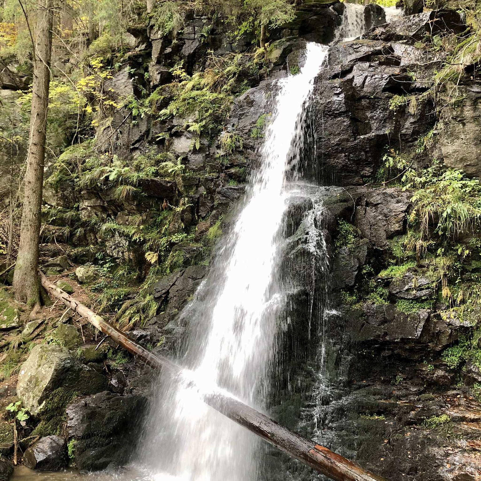
The region around Stausee Sosa is rich in natural beauty. You can explore the scenic Sosa Reservoir itself, surrounded by the Erzgebirge forest. A notable natural landmark is Höllengrundspitz, a unique rock formation offering a 'sandstone feeling' in the Erzgebirge. The area also features various waterfalls and picturesque viewpoints.
What outdoor activities are popular around Stausee Sosa?
Stausee Sosa is ideal for outdoor enthusiasts. Popular activities include hiking, cycling, and mountain biking. There's an approximately eight-kilometer-long circular path around the reservoir perfect for walking and cycling. For more specific routes, you can find numerous options for hiking, road cycling, and MTB trails in the area.
Are there hiking trails suitable for different fitness levels?
Yes, the area offers a variety of hiking trails. For an easy walk, the circular path around the Sosa Reservoir is a great option. More adventurous hikers might enjoy the Scramble Trail at Höllengrundspitze, which offers a unique experience with steps and natural stages, though it requires sturdy shoes and sure-footedness. You can find many more routes, from easy to difficult, in the hiking guide for Stausee Sosa.
Can I cycle around Stausee Sosa?
Absolutely! The region is very popular for cycling. There's an approximately eight-kilometer-long circular path around the Sosa Reservoir that is suitable for cycling. Additionally, the Sosa Dam is a recognized stamp point on the challenging Stoneman Miriquidi long-distance cycling route, attracting many mountain bikers.
Is swimming permitted in Stausee Sosa?
No, swimming is not permitted in Stausee Sosa. The reservoir serves as a drinking water source, and for this reason, water activities like swimming are prohibited to maintain water quality.
Are there family-friendly activities or trails around Stausee Sosa?
While specific family-friendly activities are not detailed, the easy circular path around the Sosa Reservoir is suitable for families looking for a gentle walk or bike ride. The natural surroundings and scenic views offer a pleasant environment for all ages to enjoy the outdoors.
What is the historical significance of the Sosa Dam?
The Sosa Dam, also known as Talsperre Sosa, holds historical significance as it was built between 1949 and 1952 as a 'Jugendobjekt' (youth project) of the newly founded GDR. It was constructed primarily as a drinking water reservoir and is sometimes referred to as the 'Talsperre des Friedens' (Dam of Peace).
What kind of views can I expect around Stausee Sosa?
Visitors can enjoy picturesque views of the Stausee Sosa reservoir and the distant Auersberg mountain from various vantage points. The dam wall itself offers panoramic views over the surrounding forests, and the Höllengrundspitz also provides interesting perspectives of the landscape.
What do visitors particularly enjoy about the attractions around Stausee Sosa?
Visitors frequently praise the picturesque panoramic views from the dam wall over the surrounding forests, especially at the Sosa Reservoir. The unique 'sandstone feeling' and climbing opportunities at Höllengrundspitz, and the fun, challenging nature of the Scramble Trail are also highly appreciated.
When is the best time to visit Stausee Sosa?
The area around Stausee Sosa is beautiful year-round. Spring and autumn offer pleasant temperatures for hiking and cycling, with vibrant foliage in the fall. Summer is great for enjoying the outdoors, though it can be busier. Even in winter, with snow, the landscape offers a unique charm, though some trails like the Scramble Trail might be more challenging or advised against due to ice.
Are there any specific trails for mountain biking near Stausee Sosa?
Yes, Stausee Sosa is a popular destination for mountain biking. Besides the circular path around the reservoir, the Sosa Dam serves as a stamp point for the Stoneman Miriquidi route. You can explore various dedicated MTB trails around Stausee Sosa, offering routes of moderate to difficult grades.
What is the 'Scramble Trail at Höllengrundspitze' like?
The Scramble Trail at Höllengrundspitze, officially known as 'Bergweg', is described as a fun and not-too-strenuous path with an alpine character. It features natural stages formed by stones and roots, and some steps. It requires sturdy shoes and sure-footedness, and many recommend hiking it from bottom to top. It's considered an official trail with signage.
Most popular routes around Stausee Sosa

Get inspired with the komoot mobile app


Explore more
Still not found the Highlight you’re looking for? See guides of the top attractions in other regions:
