The best road cycling routes around Stausee Sosa
4.7
(56)
1,144
riders
56
rides
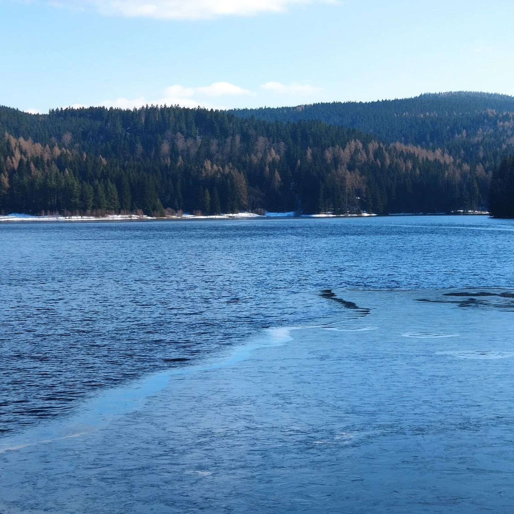
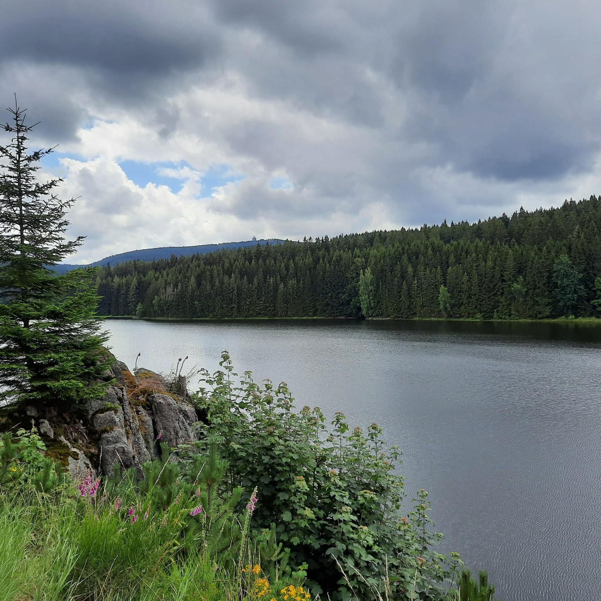
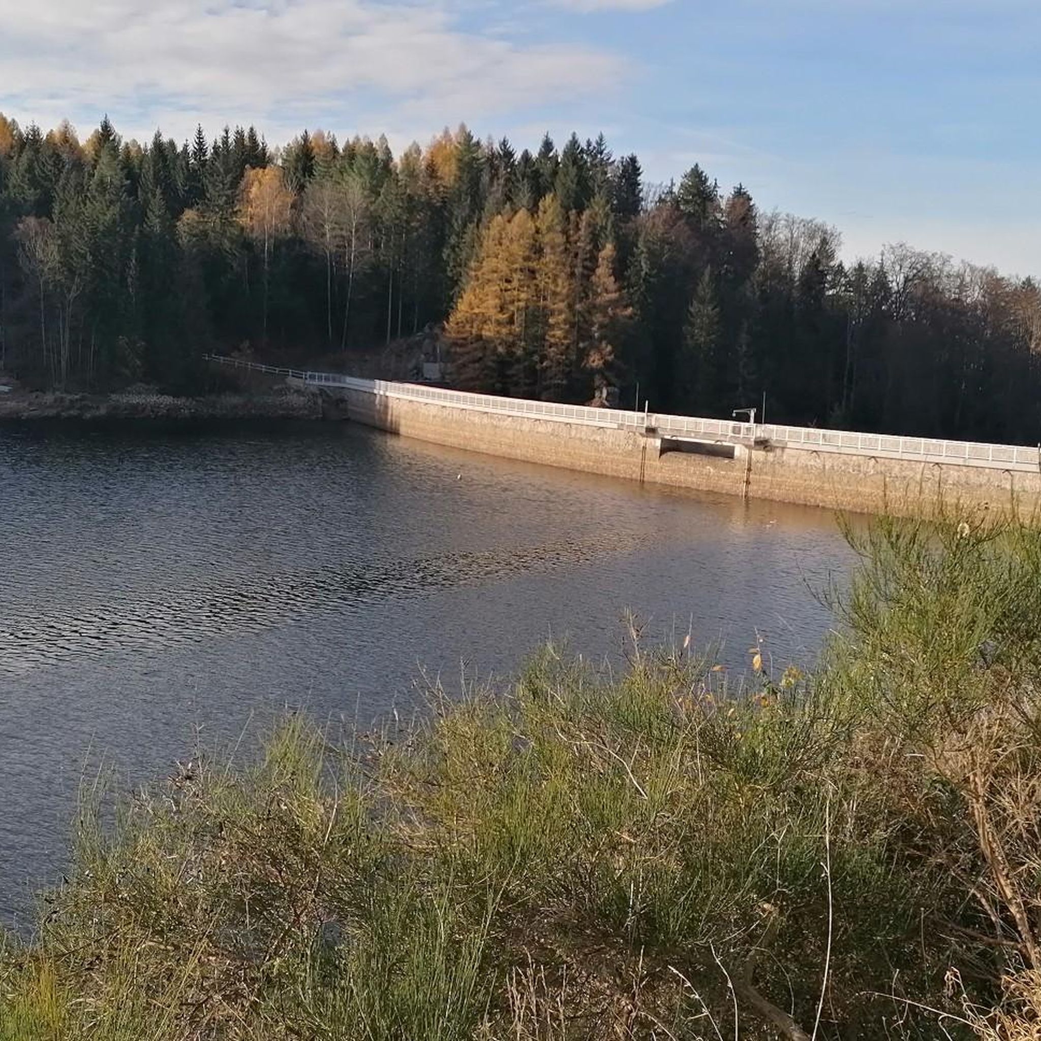
Road cycling routes around Stausee Sosa are situated in the scenic Ore Mountains (Erzgebirge) of Germany, characterized by extensive forests and a tranquil reservoir. The region presents varied terrain, with some areas offering dedicated paved roads suitable for road bikes, while others may include unpaved sections. Road cyclists can expect routes with significant elevation changes across the broader Ore Mountains, providing challenges amidst a landscape of dense woodlands.
Best road cycling routes around Stausee Sosa
- The most popular road cycling…
Last updated: July 10, 2026
3.0
(1)
15
riders
33.7km
01:48
600m
590m
Moderate road ride. Good fitness required. Some segments of this route may be unpaved and difficult to ride.
3.0
(2)
12
riders
27.3km
01:22
430m
430m
Moderate road ride. Good fitness required. Mostly well-paved surfaces and easy to ride.

Sign up for free
10
riders
48.8km
02:16
640m
640m
Moderate road ride. Good fitness required. Mostly well-paved surfaces and easy to ride.
5.0
(1)
9
riders
29.3km
01:27
410m
410m
Moderate road ride. Good fitness required. Some segments of this route may be unpaved and difficult to ride.
5.0
(1)
7
riders
41.4km
02:03
630m
630m
Moderate road ride. Good fitness required. Some segments of this route may be unpaved and difficult to ride.
Get access to more routes and recommendations from other explorers.
Sign up for free
Already have an account?
Our route recommendations are based on thousands of hikes, rides, and runs completed by other people on komoot.
Start today with a free account
Your next adventure awaits.
Login or Signup
Tips from the Community

nice small place in the Ore Mountains with a unique sauna world
0
0

Recently opened as the 3rd Y in the region. Indoor and outdoor seating. EXCELLENT quality! Changing offer.
0
0


World's Largest Freestanding Candle Arch On December 15, 2012, the world's largest freestanding candle arch was inaugurated in Johanngeorgenstadt at the 20th Original Johanngeorgenstadt Candle Arch Festival. This giant is 25 meters wide and, including the candles, 14.5 meters high, and consists of 700 tons of reinforced concrete and 15 tons of stainless steel. The new attraction, as well as the giant pyramid, was donated by Johanngeorgenstadt entrepreneur Siegfried Ott. - Symbols in the candle arch: ° Wonder flower represents the legends of the Ore Mountains. ° Lacemaker represents one aspect of Ore Mountain folk art. ° Miners represent mining in Saxony. ° Upward-reaching flower signifies that folk art found fertile ground in the Ore Mountains. ° Crossed swords symbolize the Free State of Saxony. The horseshoe is a reminder that a mountain blacksmith invented the Schwibbogen (candle arch). The hammer and chisel are further symbols of mining. The light angel, woodcarver, and incense smoker represent the folk art of the Ore Mountains.
0
0


Auersberg Viewpoint: Unobstructed views over the Western Ore Mountains and the dams. (Coin-operated telescope available.)
5
0
Frequently Asked Questions
What kind of terrain can I expect on road cycling routes around Stausee Sosa?
The Stausee Sosa area, nestled in the Ore Mountains, features varied terrain. You'll encounter extensive forests and rolling hills, with routes offering significant elevation changes. While some paths directly around the reservoir might have unpaved sections, the broader region provides numerous paved roads suitable for road bikes, offering both challenging climbs and scenic stretches.
How many road cycling routes are available in the Stausee Sosa region?
There are over 60 road cycling routes available around Stausee Sosa on komoot. These routes cater to various skill levels, with a good mix of moderate and difficult options for those seeking a challenge.
Are there any challenging road cycling routes for experienced riders?
Yes, the Stausee Sosa region offers several challenging routes. For instance, the Old Brickworks – Old Stollberg Brickworks loop from Eibenstock is a difficult 50.7-mile (81.6 km) path that includes historical brickworks and demanding terrain. The broader Ore Mountains also feature routes like the Stoneman Miriquidi Road, known for its significant elevation changes.
Can I find routes with notable natural features or landmarks?
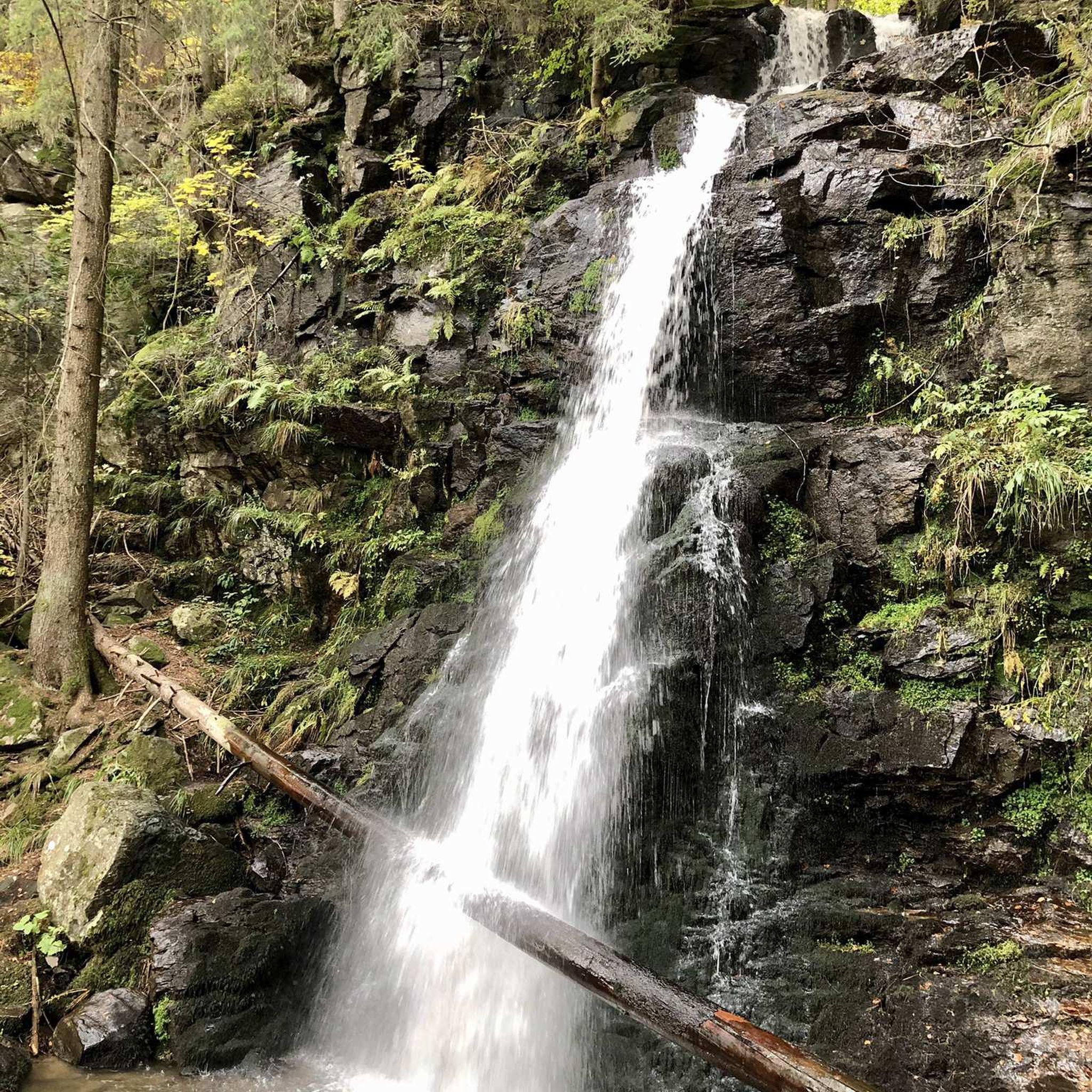
Absolutely. The region is rich in natural beauty and points of interest. You can explore routes that pass by the tranquil Sosa Reservoir itself, or include highlights like the Sosa Dam. The Blauenthal Waterfall – Hefekloß Pass Summit loop from Sosa, for example, features a beautiful waterfall.
What do other road cyclists say about the routes in Stausee Sosa?
The road cycling routes around Stausee Sosa are highly rated by the komoot community, with an average score of 4.5 stars from over 50 reviews. Cyclists often praise the diverse landscapes, from dense woodlands to tranquil reservoir views, and the variety of routes suitable for different fitness levels.
Are there any circular road cycling routes in the area?
Yes, many of the routes in the Stausee Sosa region are designed as loops, offering convenient circular tours. An example is the Glück Auf - To the Peat Cut – View of Schönheide loop from Eibenstock, which takes you through varied landscapes and returns to your starting point.
Are there any routes that offer panoramic views?
Yes, the Ore Mountains are known for their scenic viewpoints. The Auersberg Observation Tower – View from Auersberg loop from Eibenstock is a moderate route that leads towards the Auersberg Peak, which features an observation tower offering panoramic views of the surrounding forested landscape.
What is the best season for road cycling around Stausee Sosa?
The best season for road cycling around Stausee Sosa is generally from spring to autumn. During these months, the weather is more favorable, and the natural beauty of the extensive forests and tranquil reservoir is at its peak. Always check local weather conditions before heading out.
Are there any routes suitable for a moderate level of fitness?
Yes, the region offers a good selection of moderate routes. The Blauenthal Waterfall – Hefekloß Pass Summit loop from Sosa is a popular moderate option, covering 20.8 miles (33.4 km) with a manageable elevation gain. Another moderate choice is the Schönheide South Station – Eibenstock Church loop from Eibenstock.
Where can I find information about the broader cycling network in the Ore Mountains?
While this guide focuses on Stausee Sosa, the wider Ore Mountains (Erzgebirge) region offers extensive cycling opportunities. For more information on regional cycling routes, including long-distance trails, you can consult resources like Erzgebirge Tourismus or Visit Saxony for a broader overview of cycling in the area.
Are there any facilities or checkpoints for cyclists near Stausee Sosa?
Yes, for those interested in more extensive cycling challenges, the area includes points like the Stoneman - Talsperre Sosa Checkpoint and the Sosa Dam (Talsperre Sosa) – Stoneman Miriquidi Stamp Point, which are part of the challenging Stoneman Miriquidi route.
Most popular routes around Stausee Sosa
Most popular attractions around Stausee Sosa

Get inspired with the komoot mobile app


Explore more
Browse the best Road cycling routes in other regions.
