Attractions and Places To See in Medicine Bow-Routt National Forest - Top 20
Best attractions and places to see in Medicine Bow-Routt National Forest span nearly 2.9 million acres across southeastern Wyoming and northern Colorado. This expansive region features a diverse landscape, from towering peaks and unique rock formations to serene alpine lakes and historic sites. The forest is bisected by the Continental Divide and offers elevations ranging from 5,500 to 12,940 feet. It provides year-round recreational opportunities for visitors.
Best attractions and places to see in Medicine Bow-Routt National Forest
- The most popular attractions is Overlook of Fish Creek Falls, a viewpoint that offers an overview of the 283-foot Fish Creek Falls. This trail to the overlook is wheelchair accessible, making it a popular and accessible natural feature.
- Another must-see spot is Eastern descent from Meaden Pass, a challenging trail through a mountain pass. This section features big chunky boulders and loose rocks on a steep slope, providing a technical experience for those on full suspension bikes.
- Visitors also love TransAmerica Trail, a scenic road ride. This route transitions from wide-open grasslands to rolling foothills, offering views of the approaching higher-elevation peaks.
- Medicine Bow-Routt National Forest is known for its diverse natural features, including alpine lakes, granite rock outcroppings, and waterfalls. Visitors can explore a variety of attractions, from accessible viewpoints to challenging mountain trails and scenic cycling routes.
- The attractions in Medicine Bow-Routt National Forest are appreciated by the komoot community, with 13 upvotes and 19 photos shared by users.
Last updated: September 26, 2026
Overlook of Fish Creek Falls
Highlight • Viewpoint
Tip by

TransAmerica Trail
Highlight (Segment) • Cycleway
Tip by
Sign up now to discover places like this
Get recommendations on the best single tracks, peaks, & plenty of other exciting outdoor places.
Green Mountain Falls Trail
Highlight (Segment) • Waterfall
Tip by
Turtle Rock Loop Trail
Highlight (Segment) • Trail
Tip by
Eastern descent from Meaden Pass
Highlight (Segment) • Trail
Including Meaden Pass, the roads are unpaved gravel, rough in places, and often covered in lingering snow into late spring or early summer.
Tip by

Sign up for free to discover even more attractions in Medicine Bow-Routt National Forest.
Already have an account?
Start today with a free account
Your next adventure awaits.
Popular around Medicine Bow-Routt National Forest

The Continental Divide Trail — Across the sky of America
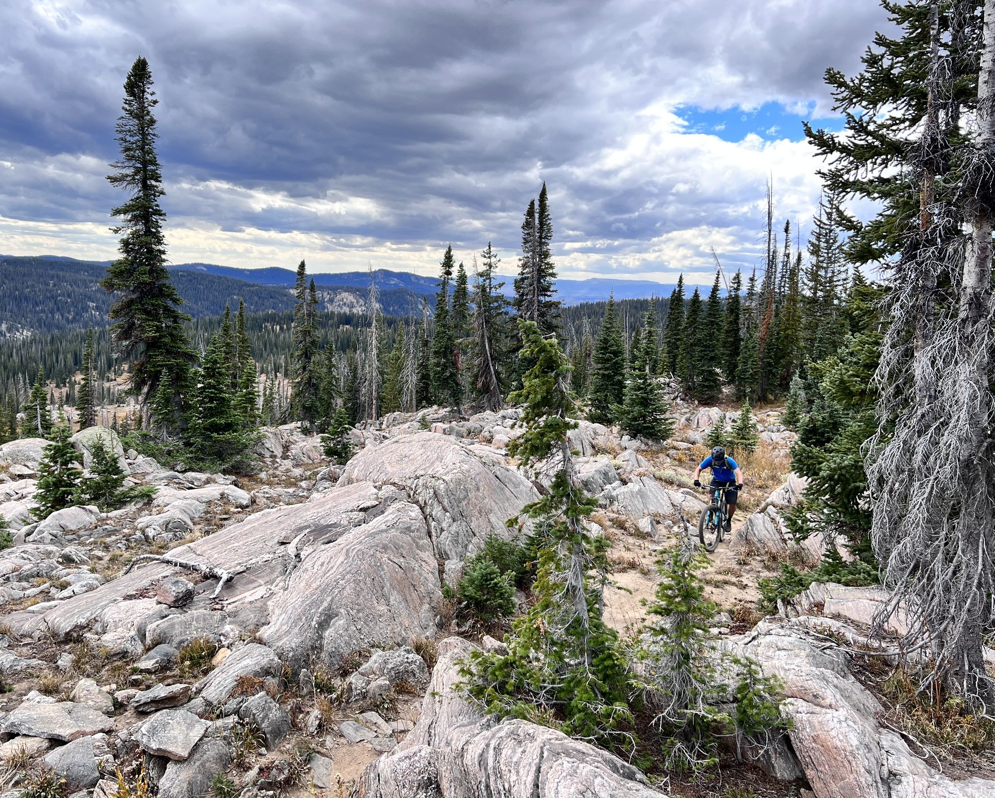
Steamboat Springs – unique singletrack loops in Colorado
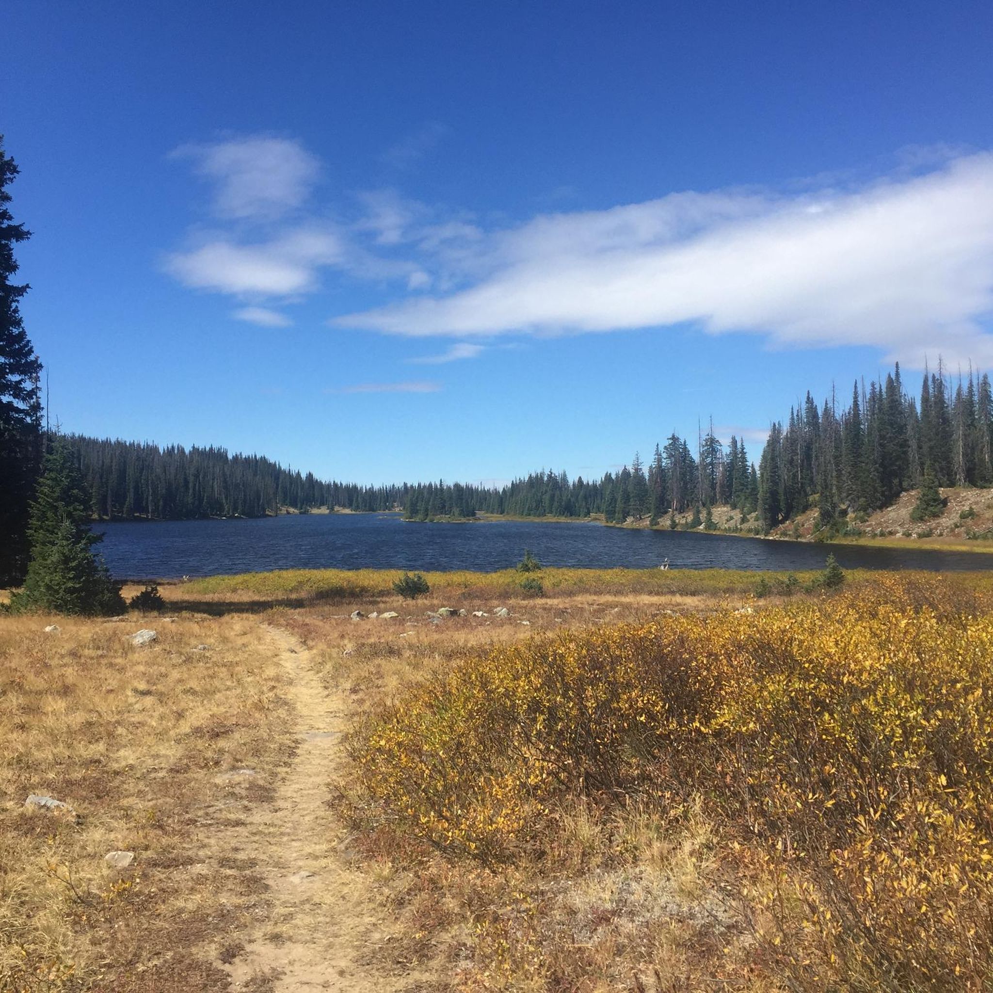
Hiking in Medicine Bow-Routt National Forest
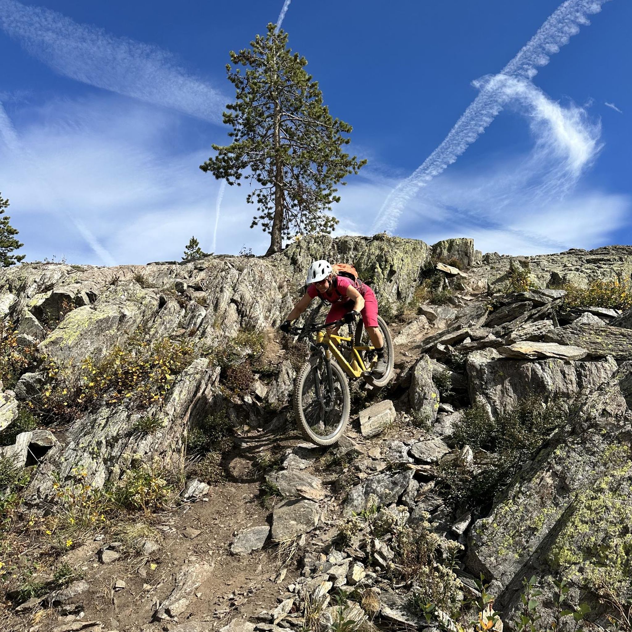
MTB Trails in Medicine Bow-Routt National Forest
Running Trails in Medicine Bow-Routt National Forest
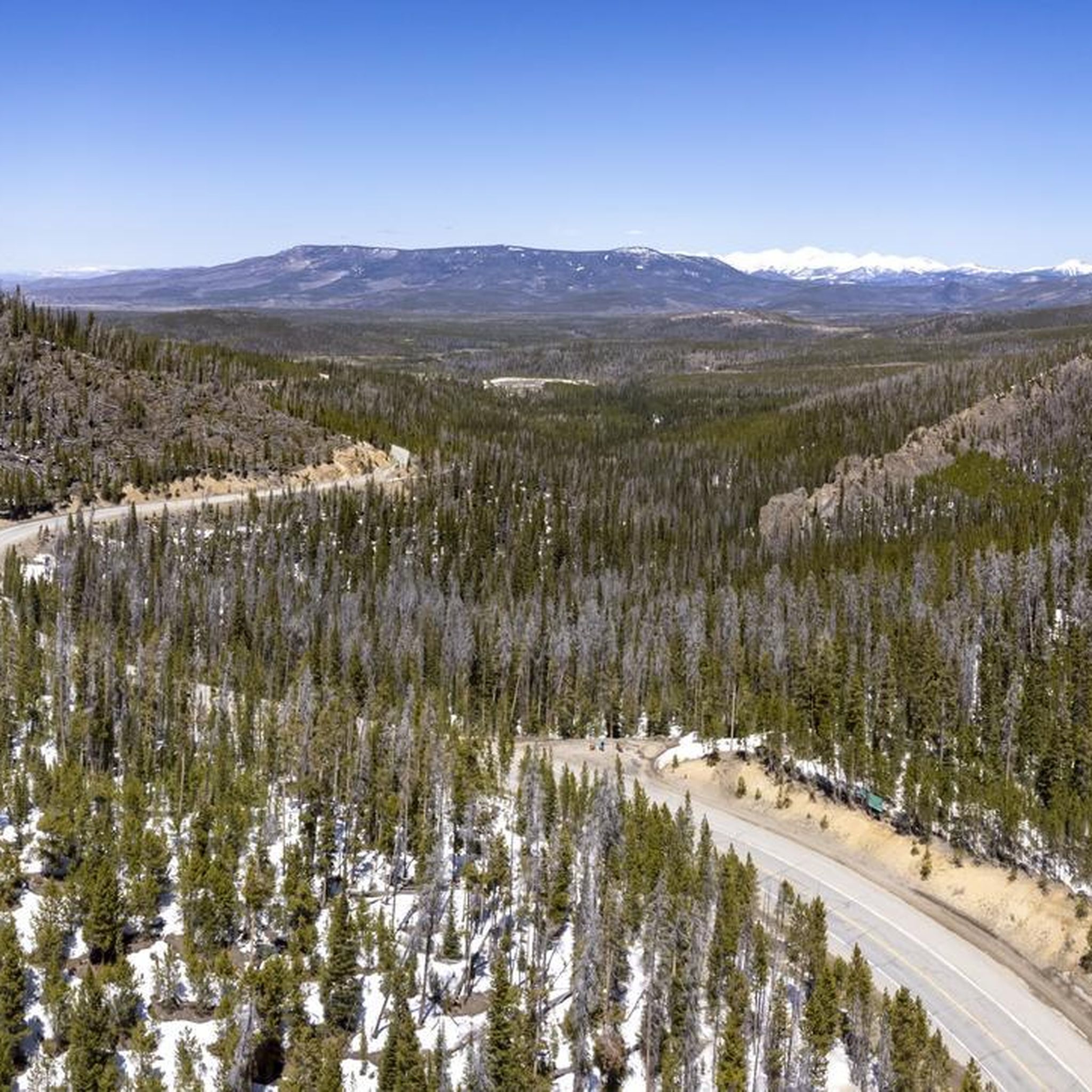
Road Cycling Routes in Medicine Bow-Routt National Forest
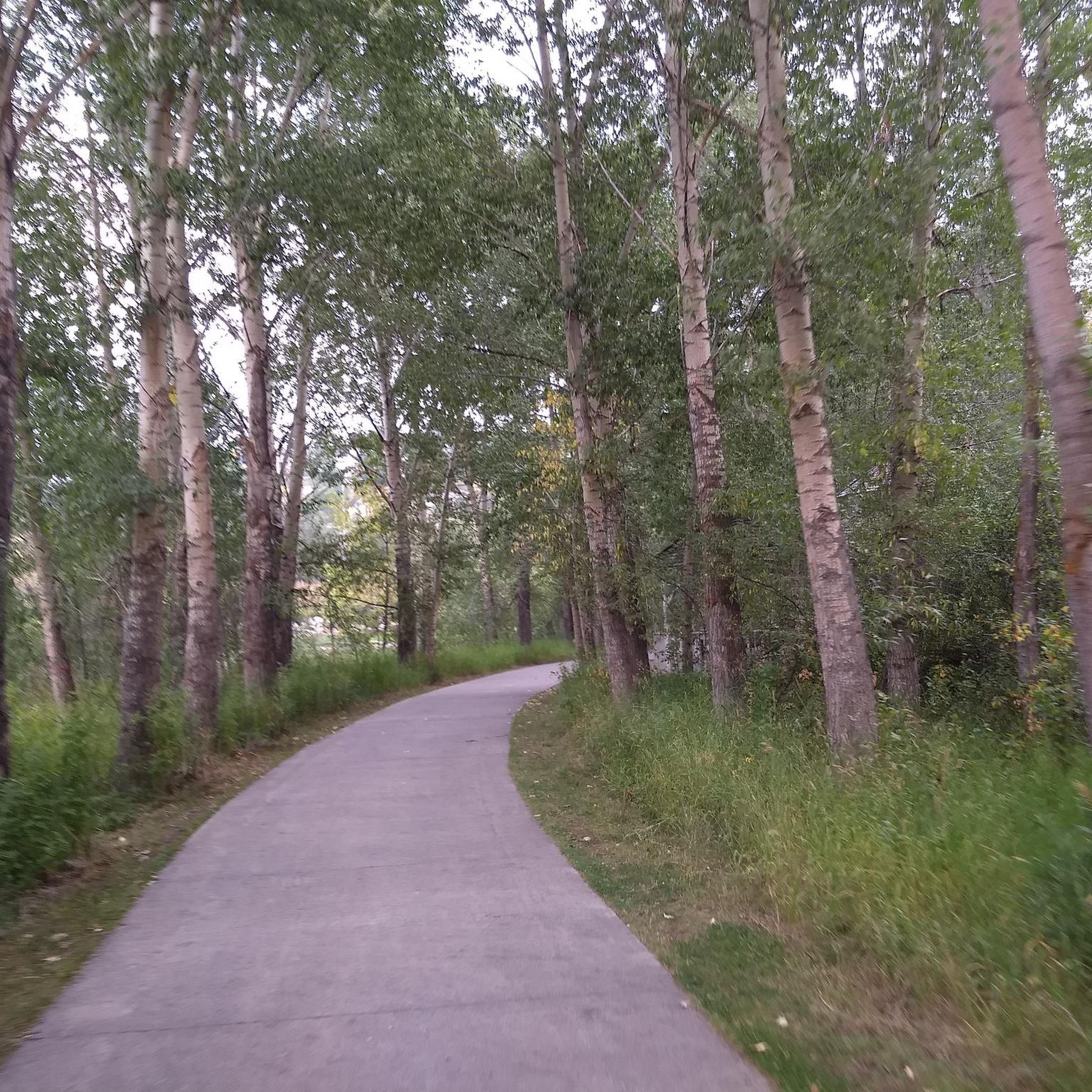
Cycling in Medicine Bow-Routt National Forest
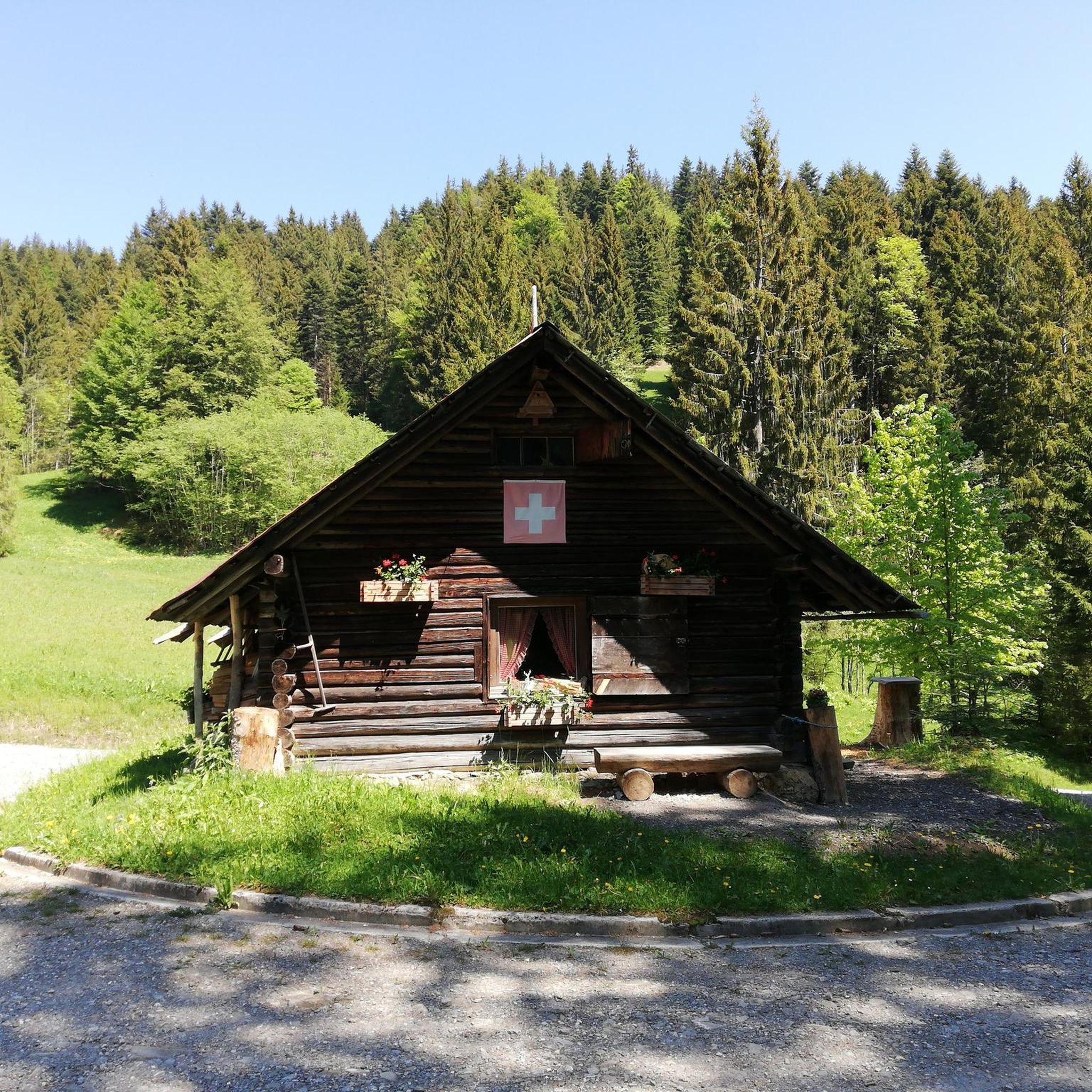
Gravel biking in Medicine Bow-Routt National Forest
Other adventures in Medicine Bow-Routt National Forest


Tips from the Community

These falls are stunning, and the trail to this lookout is an easy warmup. Keep your wits about you, though — this is a very popular area, so you may have to weave in and out of the crowds. The farther you go up the trail the easier it'll be to keep up a run, even as the trail gets rougher.
1
0
The trail to this overlook is wheelchair accessible, and gives you a fantastic overview of 283-foot Fish Creek Falls.
1
0
This popular trail isn't a hard run as such, but it is made more challenging than it seems at first due to the presence of lots of rocks and roots and even the occasional fallen tree in the trail, and lots of other trail users including walkers and mountain bikers. The centerpiece of the loop is an iconic outcropping of Sherman Granite that does look a bit like a turtle when viewed from the right angle.
1
0
This easy — and very popular — trail loops around an iconic outcropping of Sherman Granite that does look a bit like a turtle when viewed from the right angle. Watch for lots of rocks, roots, and even the occasional downed tree. Although this is a popular spot for mountain biking you'll see lots of hikers and trail runners here too, so please take care and be respectful of other trail users.
1
0
This easy — and very popular — hiking trail loops around an iconic outcropping of Sherman Granite that does look a bit like a turtle when viewed from the right angle.
2
0
This section of the TransAmerica Trail runs from Saratoga, Wyoming, through the neighboring communities of Riverside and Encampment, and to the shores of the small, pretty Encampment River. Technically this is a road ride, but it's common to see people here on touring bikes or even full-on bikepacking. The terrain is rolling enough to be interesting, but not so steep that you have to be a serious road biker with quads of steel to manage it. All in all, this is a great place for a relaxed ride in beautiful scenery.
2
0
Despite the name this is actually a road ride — a beautiful one, as the wide-open grasslands toward the north of Wyoming give way to the rolling foothills that herald the approach of much higher-elevation peaks in nearby Medicine Bow National Forest and Huston Park Wilderness.
2
0
The first 1.5 miles or so of this trail are rough, rugged forest road only drivable by those with high-ground-clearance 4-wheel-drive vehicles. Because of that, many bikers park near the intersection of Forest Roads 550 and 550.2H instead, then ride in on the rough section of road to access the actual trail, which is this section of great singletrack that ends at Green Mountain Falls. Watch out for hikers and trail runners as well, and the occasional Jeep on that section of rough road.
1
0
Frequently Asked Questions
What prominent natural landmarks can I explore in Medicine Bow-Routt National Forest?
The forest is rich with natural landmarks. The Snowy Range features Medicine Bow Peak, the highest point, and the Overlook of Fish Creek Falls offers stunning views of a 283-foot waterfall. You can also visit Vedauwoo for its distinctive granite rock outcroppings, or explore numerous alpine lakes like Lake Marie and Gilpin Lake.
Are there any notable waterfalls in the Medicine Bow-Routt National Forest?
Yes, the forest is home to impressive waterfalls. The most well-known is Fish Creek Falls, a 283-foot waterfall near Steamboat Springs with an accessible overlook. Another option is Green Mountain Falls, which can be reached via a singletrack trail after a rugged forest road section.
Where can I find unique rock formations for climbing or viewing?
Vedauwoo, located north of Interstate 80, is famous for its distinctive, ancient granite rock outcroppings. It's a popular destination for rock climbers and offers unique geological sights for visitors.
What are the best scenic drives in the Medicine Bow-Routt National Forest?
The Snowy Range Scenic Byway (Highway 130) offers breathtaking views as it ascends to nearly 11,000 feet, providing access to alpine lakes and an immersive mountain experience. Another scenic route is the TransAmerica Trail section that passes through the forest, transitioning from grasslands to rolling foothills with views of higher-elevation peaks.
Are there family-friendly or accessible attractions in the forest?
Yes, the Overlook of Fish Creek Falls is wheelchair accessible, making it a great option for families and visitors with mobility considerations. Additionally, the Dry Lake Trailhead is family-friendly and serves as a starting point for various trails.
What kind of hiking trails are available in Medicine Bow-Routt National Forest?
The forest offers a wide range of hiking trails, from easy walks to challenging mountain ascents. You can find easy trails like Little Laramie Trails and Box Canyon Trail, or more moderate options such as Fish Creek Falls Trail and Gold Creek Lake Trail. For more challenging hikes, consider the Browns Peak Loop in Snowy Range. Explore more options in our guide to Hiking in Medicine Bow-Routt National Forest.
Can I go cycling or mountain biking in the forest?
Absolutely. The forest provides diverse terrain for cycling. The TransAmerica Trail offers a beautiful road ride through varied landscapes. For mountain bikers, there are challenging routes like the Eastern descent from Meaden Pass, known for its chunky boulders and steep slopes. You can find more routes in our guide to MTB Trails in Medicine Bow-Routt National Forest.
Are there any historical or cultural sites within the forest?
The forest holds historical significance, particularly regarding its name, 'Medicine Bow,' which originates from Native American gatherings for healing rituals and bow-making. You can also find remnants of historical mining operations, such as a miner's cabin from the Red Mask Mine, and visible signs of the Sarvis Timber Company's logging operations along the Sarvis Creek Trail.
What is the best time to visit Medicine Bow-Routt National Forest?
The forest offers year-round recreational opportunities. Summer and early fall are popular for hiking, camping, and scenic drives, with vibrant fall foliage in late September. Some high-elevation areas, like Meaden Pass, can remain snow-covered into late spring or early summer. Winter provides opportunities for snow sports, especially near Steamboat Ski Resort.
What are some popular activities for wildlife viewing and fishing?
The diverse topography of the forest makes it excellent for wildlife viewing. Keep an eye out for various species throughout the different elevations. For fishing, the 'Miracle Mile' on the North Platte River, a six-mile stretch between Kortes Dam and Pathfinder Reservoir, is renowned for its excellent trout and walleye fishing.
Are there any wilderness areas for a more secluded experience?
Yes, the forest encompasses several wilderness areas offering pristine natural environments and solitude. These include the Mount Zirkel Wilderness and Sarvis Creek Wilderness within the Routt National Forest, and Huston Park, Savage Run, and Platte River Wildernesses in the Medicine Bow portion.
Do I need permits or passes to access certain areas of the forest?
Many areas within the Medicine Bow-Routt National Forest may require a day-use fee or an America the Beautiful Pass for access. It's advisable to check with the local forest service office or their official website for specific requirements before your visit.
Most popular routes in Medicine Bow-Routt National Forest
Most popular attractions in Medicine Bow-Routt National Forest

Get inspired with the komoot mobile app


Explore more
Still not found the Highlight you’re looking for? See guides of the top attractions in other regions:
