The best walks and hikes in Medicine Bow-Routt National Forest
4.7
(108)
2,008
hikers
118
hikes
Hiking in Medicine Bow-Routt National Forest spans nearly 2.9 million acres across northern Colorado and eastern Wyoming. The region features significant elevation changes, ranging from 5,500 feet to over 12,940 feet, encompassing semi-arid lowlands to high-alpine environments. Key physical features include the majestic Snowy Range, the Medicine Bow Mountains, deep glacial lakes, and distinctive granite formations like those at Vedauwoo. This vast area provides varied terrain for outdoor activities, from easy strolls to challenging mountaineering endeavors.
Best hiking trails in Medicine Bow-Routt National Forest
- The most popular hiking route is Browns Peak Loop in Snowy Range, a difficult 11.6 miles (18.7 km) trail that takes 5 hours 11 minutes to complete. This route offers views of the Snowy Range.
- Another top favourite among local hikers is Fish Creek Falls Trail, a moderate 2.7 miles (4.3 km) path. This trail features a significant elevation gain.
- Local hikers also love the Gold Creek Lake Trail, a 3.1 miles (5.0 km) trail leading through forested areas, often completed in about 1 hour 37 minutes.
- Hiking in Medicine Bow-Routt National Forest is defined by varied mountain ranges, alpine lakes, and granite formations. The network offers options for easy strolls to challenging summit climbs.
- The routes in Medicine Bow-Routt National Forest are highly rated by the komoot community with an average score of 4.7 stars from over 80 reviews. More than 1000 hikers have used komoot to explore Medicine Bow-Routt National Forest's varied terrain.
Last updated: September 27, 2026
5.0
(1)
11
hikers
18.7km
05:11
340m
340m
Embark on the Browns Peak Loop, a difficult 11.6 miles (18.7 km) hiking route that challenges you with 1130 feet (344 metres) of elevation gain. This journey, typically completed in 5 hours and 11 minutes, takes you through dense forests before revealing expansive alpine landscapes. You will discover pristine alpine lakes, such as North Gap Lake, offering stunning reflections of the surrounding Snowy Range mountains. The trail features varied terrain, including sections with loose rock and narrow paths, particularly near South Gap Lake. Keep an eye out for vibrant wildflowers in summer and the chance to spot wildlife like pika and marmots.
When planning your visit, be aware that this is a popular trail, so expect to share the path with other hikers. The route is well-signed, which helps with navigation, but always carry a map and compass or a GPS device. While generally considered moderate in parts, the rocky sections can be more demanding if you are carrying a heavy backpack. Consider starting early to avoid crowds and to allow ample time to complete the full loop before sunset. Always check local weather conditions before heading out, as alpine weather can change rapidly.
This loop trail is a highlight within the Medicine Bow-Routt National Forest, offering a classic high-alpine experience. It provides a unique opportunity to circle Browns Peak, showcasing the diverse ecosystems of the Snowy Range. The area is known for its geological formations and the resilience of its alpine flora and fauna. You might even spot larger wildlife like moose in the quieter sections of the forest. This trail stands out for its combination of forest tranquility and dramatic mountain vistas.
3.0
(1)
9
hikers
4.32km
01:35
400m
40m
Embark on the Fish Creek Falls Trail, a moderate hiking route that takes you through diverse scenery near Steamboat Springs. You will hike 2.7 miles (4.3 km) and gain 1327 feet (405 metres) in elevation, a journey that typically takes about 1 hour and 34 minutes to complete. The trail winds through wooded areas filled with aspens and wildflowers, leading you towards the magnificent 280-foot Fish Creek Falls. Along the way, you can enjoy spectacular views of the canyon and even catch glimpses of Steamboat Springs. This route offers a rewarding outdoor experience, balancing accessible sections with more challenging parts.
Before you head out, be aware that there is a day-use fee required to access the Fish Creek Falls area. If you plan to bring your dog, remember that the trail is dog-friendly, but your furry companion must remain on a leash at all times. Consider visiting during the winter months if you are interested in snowshoeing or seeing the frozen falls, but always check local conditions beforehand. Planning your visit ensures a smooth and enjoyable experience on the trail.
This trail is a highlight within the Medicine Bow-Routt National Forest, known for its impressive natural features. The main attraction is the powerful cascade of Fish Creek Falls, a truly stunning display of water. You can find excellent vantage points from various overlooks, providing different perspectives of the falls and the surrounding landscape. The trail's path through aspens and wildflowers adds to its charm, making it a popular choice for those seeking natural beauty in the region.

5.0
(1)
8
hikers
7.41km
02:03
130m
110m
The Turtle Rock Loop Trail offers a fantastic opportunity to immerse yourself in the unique geology of Wyoming's Vedauwoo Recreation Area. As you hike, you'll wind through a landscape dotted with pine trees, aspens, and willows, often passing tranquil beaver ponds that reflect the sky. The trail's highlight is undoubtedly the massive Sherman granite formation known as Turtle Rock, which provides dramatic scenic viewpoints and a sense of scale to your adventure.
This moderate 4.6-mile (7.4 km) hiking loop, with its 435 feet (133 metres) of elevation gain, typically takes about 2 hours and 2 minutes to complete. Parking is available near the trailhead, though it can fill up quickly on busy summer weekends. For a more peaceful experience, plan your visit for a weekday or during the quieter spring and fall shoulder seasons.
What makes the Turtle Rock Loop Trail truly special is its blend of accessibility and natural wonder, making it an ideal choice for beginners and families. Beyond the striking rock formations, the area is rich in wildlife, offering chances to spot moose, deer, and various bird species. It's a perfect introduction to the rugged beauty and biodiverse nature of the Medicine Bow National Forest.
8
hikers
5.03km
01:37
360m
0m
The Gold Creek Lake Trail offers a diverse hiking experience, leading you through dense evergreen forests and open meadows before revealing stunning mountain vistas. You'll follow Gold Creek, passing a picturesque 35-foot waterfall, and eventually reach the serene 8-acre Gold Creek Lake, with sweeping views of the Park Range mountains, including Mount Zirkel and Big Agnes Mountain. This moderate 3.1-mile (5.0 km) route involves 1179 feet (359 metres) of elevation gain and typically takes about 1 hours and 36 minutes, making it a rewarding journey for its length.
Planning your visit requires a bit of foresight, as the trailhead parking can get very busy on weekends. Be prepared for potentially challenging creek crossings, especially during high water after snowmelt in late spring or early summer. Dogs are permitted on the trail but must be kept on a leash, and remember that camping and campfires are prohibited within a quarter-mile of Gold Creek Lake to protect the area.
This trail is a highlight within the Mount Zirkel Wilderness and is known for its popularity and scenic beauty. It also forms part of the longer Zirkel Circle route, attracting hikers looking for both shorter excursions and extended adventures. Early summer brings vibrant wildflowers to the meadows, adding another layer of beauty to this well-loved trail.
3
hikers
2.88km
01:09
340m
10m
The Medicine Bow Peak Trail leads you directly to the highest point in the Snowy Range, offering a challenging yet rewarding hike. This moderate route spans 1.8 miles (2.9 km) and involves a substantial elevation gain of 1110 feet (338 metres). You can typically complete the ascent in about 1 hour and 9 minutes, navigating through rugged alpine terrain. As you climb, you will pass by picturesque alpine lakes, such as Lake Marie, before reaching the boulder-filled summit. From the top, you are treated to expansive 360-degree vistas across the entire Snowy Range and the Laramie Valley.
Planning your visit requires attention to the seasons; the trail is generally accessible from early June to mid-October. Be prepared for the possibility of snow persisting into July, which can affect trail conditions. During summer, afternoon thunderstorms are common, so it is advisable to start your hike early in the day to avoid being exposed on the summit. Dogs are welcome on the trail, making it a great option if you want to bring your canine companion along.
This trail is notable for its dramatic alpine scenery and the panoramic views it provides from Medicine Bow Peak. In the warmer months, the high-altitude meadows come alive with vibrant wildflowers, adding splashes of color to the rocky landscape. The route offers a unique opportunity to experience the raw beauty of the Medicine Bow-Routt National Forest and its distinct high-elevation ecosystem.
Get access to more routes and recommendations from other explorers.
Already have an account?
Our route recommendations are based on thousands of hikes, rides, and runs completed by other people on komoot.
Start today with a free account
Your next adventure awaits.
Popular around Medicine Bow-Routt National Forest

The Continental Divide Trail — Across the sky of America
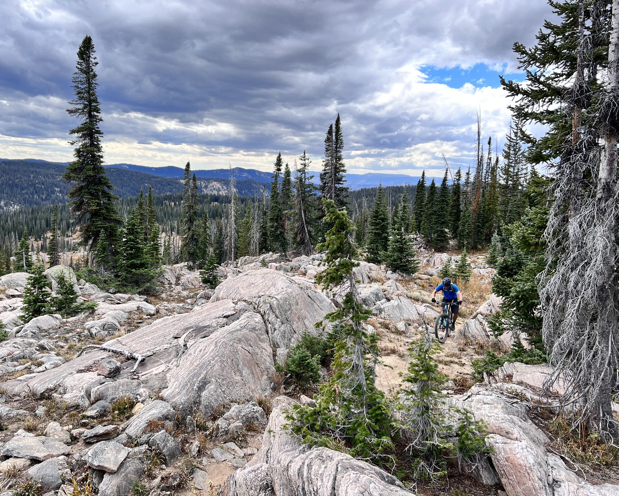
Steamboat Springs – unique singletrack loops in Colorado
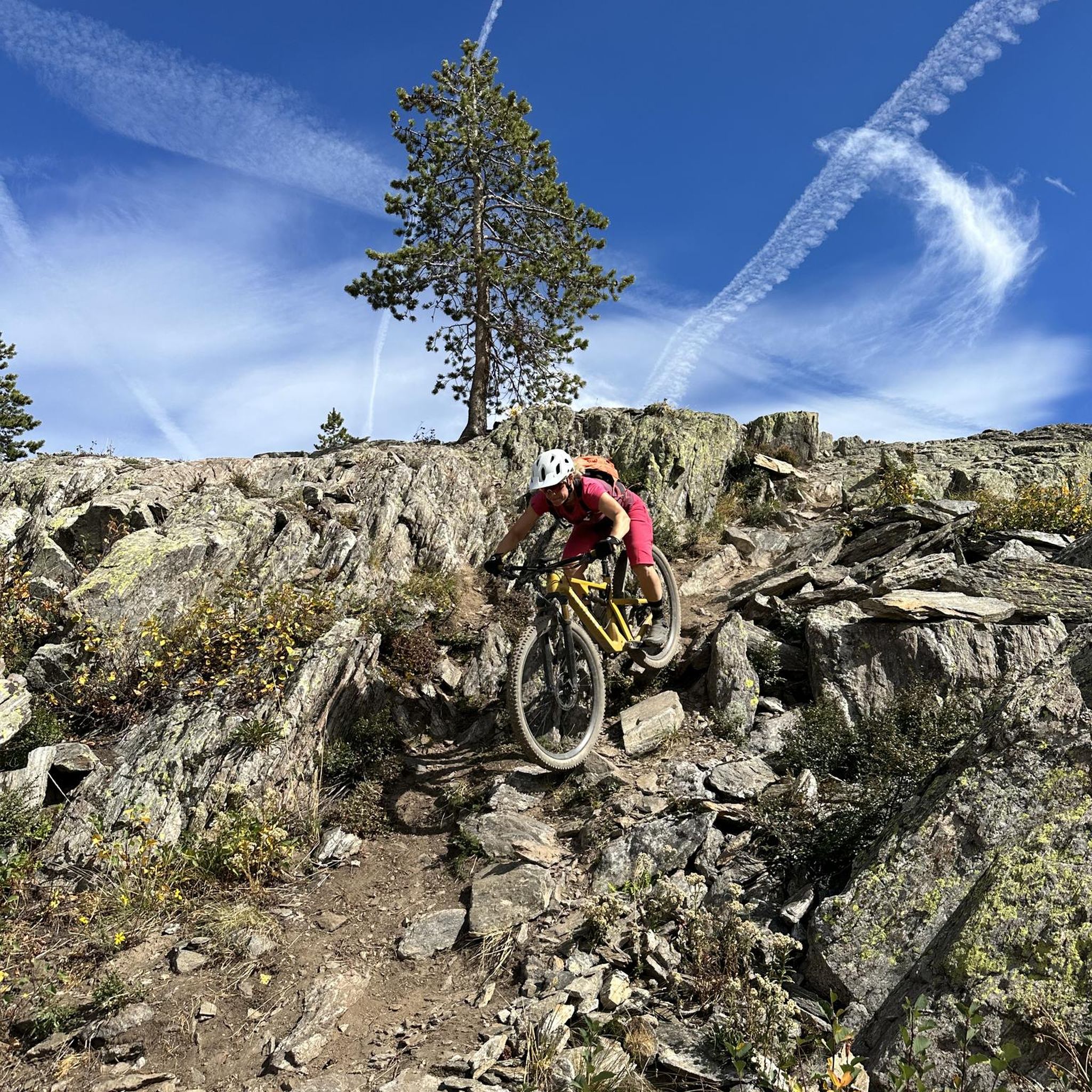
MTB Trails in Medicine Bow-Routt National Forest
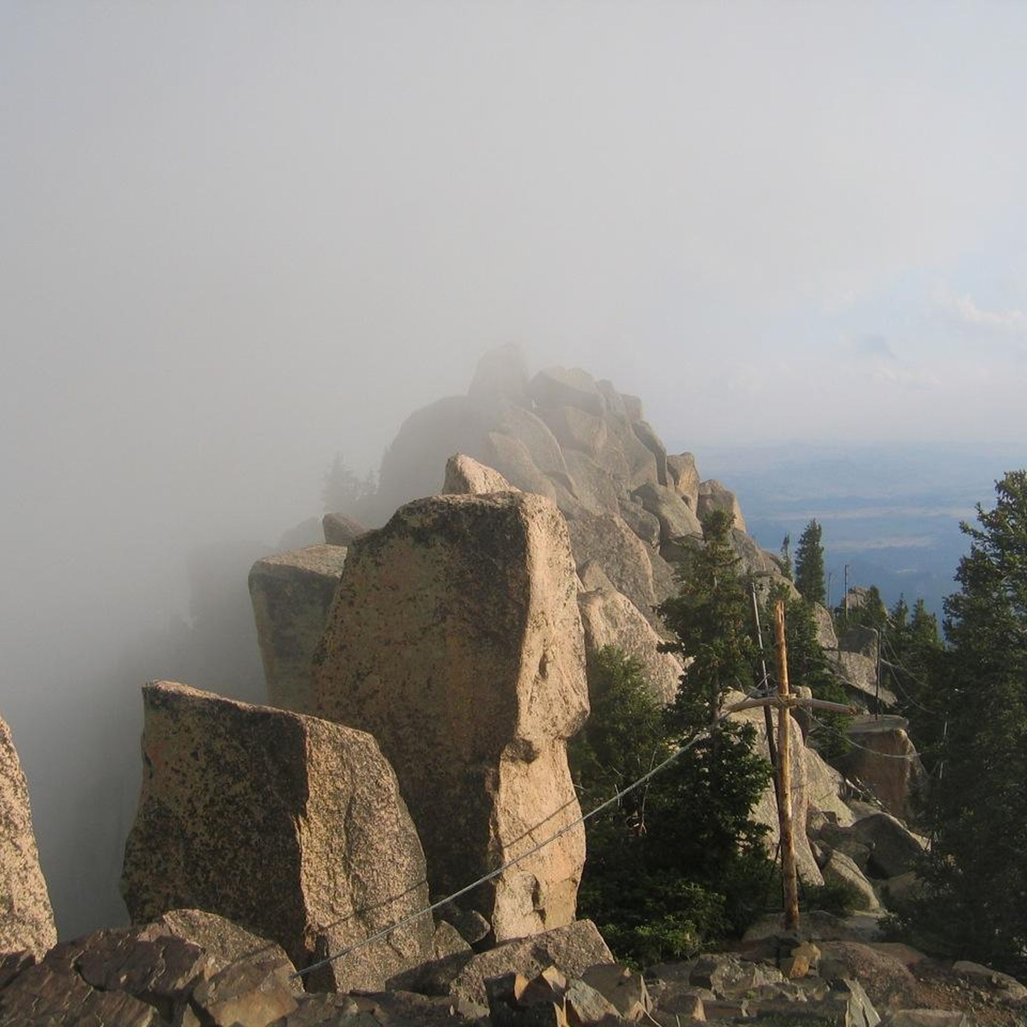
Running Trails in Medicine Bow-Routt National Forest
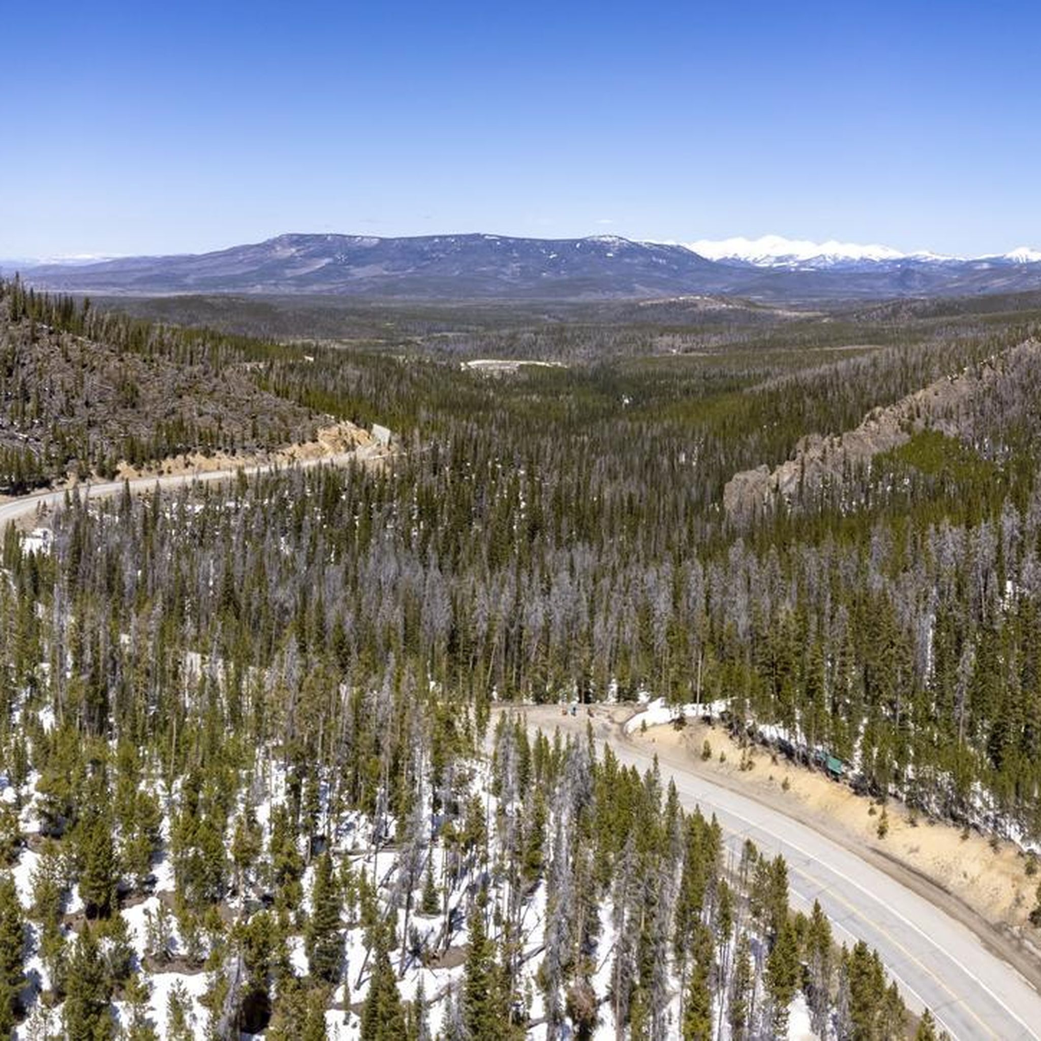
Road Cycling Routes in Medicine Bow-Routt National Forest
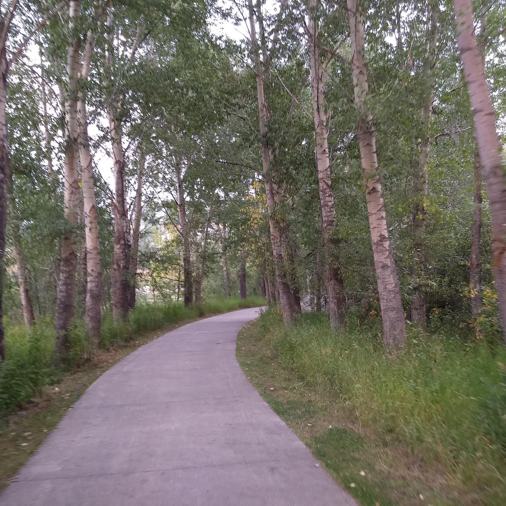
Cycling in Medicine Bow-Routt National Forest
Gravel biking in Medicine Bow-Routt National Forest
Other adventures in Medicine Bow-Routt National Forest


Tips from the Community

E -bikes are not allowed on Routt national forest trails.
0
0

This is another beautiful waterfall, and much less crowded than the lower Fish Creek Falls. Parts of the trail reaching here are very rocky and backed up against cliffs, so keep your wits about you — especially when you cross paths with other trail users, which may include mountain bikers.
1
0
These falls are stunning, and the trail to this lookout is an easy warmup. Keep your wits about you, though — this is a very popular area, so you may have to weave in and out of the crowds. The farther you go up the trail the easier it'll be to keep up a run, even as the trail gets rougher.
1
0
The trail to this overlook is wheelchair accessible, and gives you a fantastic overview of 283-foot Fish Creek Falls.
1
0
Gold Creek Lake is one of the prettiest destinations in Mount Zirkel Wilderness, and one of the easiest to reach. In fact it's part of the famous Zirkel Circle, a loop that starts at Gilpin Lake and then loops around to Gold Creek Lake. But Gold Creek also makes a fine — and much easier — destination on its own. As you might imagine, the trailhead, trail, and lake are all correspondingly busy.
1
0
A beautiful alpine lake, set into a veritable moonscape of rock dotted with trees. This starkly beautiful spot makes a good turnaround for some runners, but if you're feeling peppy and prepared for traveling through remote terrain in rapidly changing weather, you could continue farther and, for the really intrepid and well-prepared runner, even complete a loop circumnavigating Browns Peak.
1
0
A beautiful alpine lake, set into a veritable moonscape of rock dotted with trees. This starkly beautiful spot makes a good turnaround for some day hikers, but if you're feeling peppy and prepared for traveling through remote terrain in rapidly changing weather, you could complete a loop circumnavigating Browns Peak.
1
0
Medicine Bow Peak sits at 12,013 feet (3,662 m) in elevation, and the trail to reach it is entirely above treeline. That means it's exposed to the elements and the weather — so although it may be a trail runner's natural inclination to go lightly and with minimal equipment, make sure you're prepared to deal with bad weather if it happens. The US Forest Service even recommends traveling here in the morning, as weather patterns tend to be even less stable in the afternoon.
1
0
Frequently Asked Questions
What kind of terrain can I expect when hiking in Medicine Bow-Routt National Forest?
The forest offers incredibly diverse terrain, with elevations ranging from 5,500 to over 12,940 feet. You'll encounter everything from semi-arid lowlands to high-alpine environments, including majestic mountain ranges like the Snowy Range and Sierra Madre, deep glacial lakes, and impressive granite formations, such as those found at Vedauwoo Recreation Area.
Are there any easy hiking trails suitable for beginners or casual walkers?
Yes, Medicine Bow-Routt National Forest provides several easy trails. For example, the Uranium Mine Trail is an easy 3.1-mile route. Another great option is the Turtle Rock Loop Trail, a scenic 2.8-mile loop through granite formations.
When is the best time of year to go hiking in Medicine Bow-Routt National Forest?
The best time for hiking is typically from late spring through early fall. July and August are particularly beautiful, as alpine meadows burst with wildflowers. However, the forest offers year-round activities, with winter sports like snowshoeing also popular.
What notable natural features or landmarks can I see along the trails?
The forest is rich in natural landmarks. You can explore the iconic Medicine Bow Peak, the highest point in the Snowy Range, or visit the stunning 283-foot Fish Creek Falls. The Vedauwoo Recreation Area features unique 1.4-billion-year-old granite formations. You'll also find numerous glacial lakes and the Continental Divide bisecting the forest.
Are there any trails that feature waterfalls?
Yes, the forest is home to several beautiful waterfalls. Fish Creek Falls is a prominent example, offering a wheelchair-accessible overlook and trails leading to its base. Other waterfalls like Green Mountain Falls and Friend Park Falls also add to the scenic beauty and make for rewarding hiking destinations.
Are dogs allowed on the hiking trails in Medicine Bow-Routt National Forest?
Generally, dogs are welcome on trails in Medicine Bow-Routt National Forest, but it's crucial to keep them on a leash and practice Leave No Trace principles. Always check specific trail regulations or wilderness area rules before heading out, as some areas may have restrictions.
What are the typical trail lengths and difficulty levels available?
Trail lengths vary significantly, from short, easy loops of a few miles to challenging multi-day treks. The forest offers 33 easy routes, 42 moderate routes, and 12 difficult routes. For example, the Gilpin Lake and Gold Creek Lake loop is a difficult 10.7-mile path, while the Medicine Bow Peak loop is a moderate 7.0-mile trail.
Is parking available at the trailheads?
Yes, parking is generally available at most major trailheads throughout Medicine Bow-Routt National Forest. However, during peak season or for popular trails, lots can fill up quickly, so it's advisable to arrive early, especially on weekends.
What do other hikers enjoy most about hiking in Medicine Bow-Routt National Forest?
The area is highly rated by the komoot community, with an average score of 4.8 stars from over 50 reviews. Hikers frequently praise the diverse landscapes, from alpine lakes to rugged peaks, and the opportunity for a more secluded experience compared to more heavily trafficked national parks.
Are there any challenging hikes for experienced trekkers?
Absolutely. For experienced hikers, the forest offers several challenging routes. The Rabbit Ears Peak via Rabbit Ears Trail is a difficult 5.5-mile trail offering views of surrounding peaks. Another demanding option is the Gilpin Lake and Gold Creek Lake loop, an 11.1-mile route through rugged alpine terrain.
Can I find any loop trails in the forest?
Yes, loop trails are a great way to experience varied scenery without retracing your steps. Popular options include the Medicine Bow Peak loop via Lake Marie Trail, a 7.0-mile route, and the Turtle Rock Loop Trail, a shorter 2.8-mile option in Vedauwoo Recreation Area.
What kind of wildlife might I encounter while hiking?
The diverse habitats of Medicine Bow-Routt National Forest support a variety of wildlife. Hikers often spot pikas, marmots, foxes, and moose. There are also occasional sightings of black bears and mountain lions, making it an excellent location for wildlife viewing and photography.
Are there any specific wilderness areas within the forest that are good for hiking?
Yes, the forest contains several wilderness areas that preserve pristine natural environments for exploration. These include Mount Zirkel, Sarvis Creek, Encampment River, Huston Park, Savage Run, and Platte River Wildernesses, offering more remote and rugged hiking experiences.
Most popular routes in Medicine Bow-Routt National Forest
Most popular attractions in Medicine Bow-Routt National Forest

Get inspired with the komoot mobile app


Explore more
Browse the best Hikes in other regions.
