The best cycling routes in Medicine Bow-Routt National Forest
4.2
(10)
939
riders
17
rides
Touring cycling routes in Medicine Bow-Routt National Forest traverse a diverse landscape spanning over 2.2 million acres across Wyoming and Colorado. The region features extensive networks of paved and dirt roads, winding through dense forests, past exposed rock formations, and across expansive open spaces. Riders encounter varied terrain, from wide-open grasslands to the foothills of higher peaks, with notable features including the Snowy Range and the Continental Divide. The forest offers hundreds of miles of roads and trails suitable for…
Last updated: July 7, 2026
2
riders
34.6km
03:03
200m
200m
Moderate bike ride. Good fitness required. Mostly paved surfaces. Suitable for all skill levels.
2
riders
55.2km
03:18
310m
310m
Moderate bike ride. Good fitness required. Mostly paved surfaces. Suitable for all skill levels.

Sign up for free
7.23km
00:30
120m
120m
Easy bike ride. Great for any fitness level. Mostly paved surfaces. Suitable for all skill levels.
68.4km
04:05
350m
350m
Moderate bike ride. Good fitness required. Mostly paved surfaces. Suitable for all skill levels.
16.6km
01:13
380m
380m
Moderate bike ride. Good fitness required. Mostly paved surfaces. Suitable for all skill levels.
Get access to more routes and recommendations from other explorers.
Sign up for free
Already have an account?
Our route recommendations are based on thousands of hikes, rides, and runs completed by other people on komoot.
Start today with a free account
Your next adventure awaits.
Login or Signup
Popular around Medicine Bow-Routt National Forest

The Continental Divide Trail — Across the sky of America
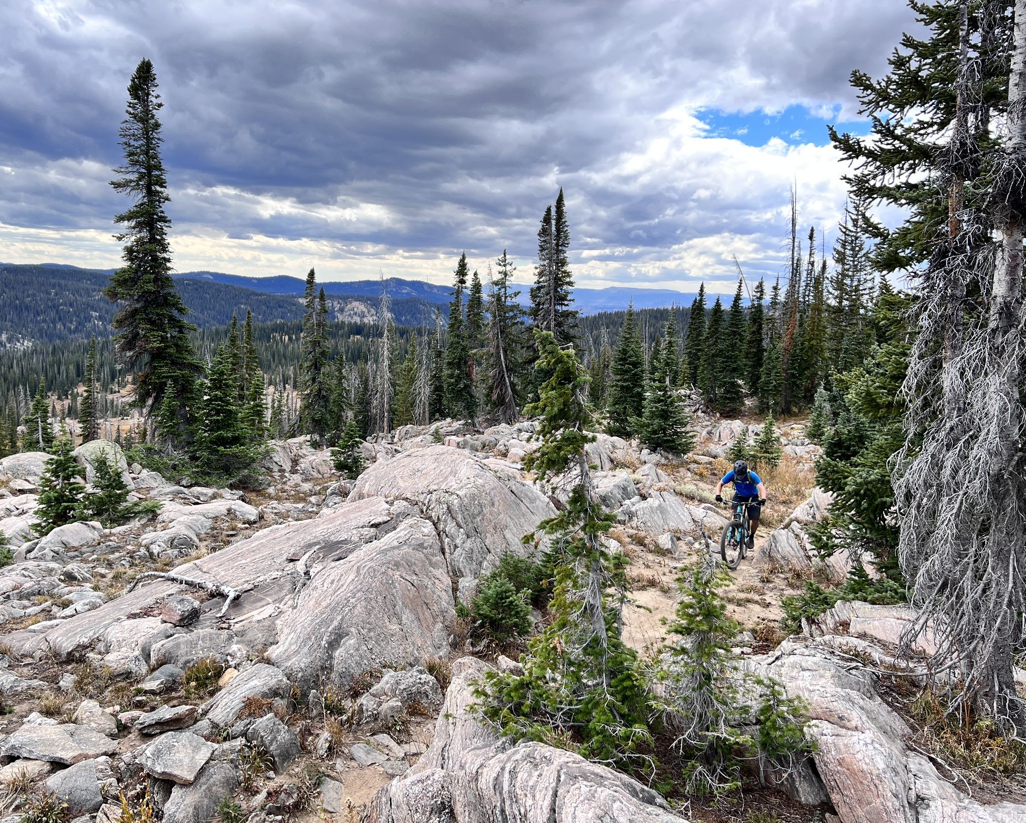
Steamboat Springs – unique singletrack loops in Colorado
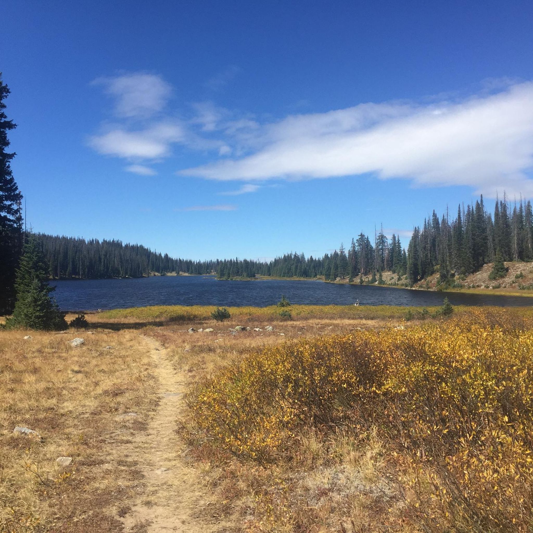
Hiking in Medicine Bow-Routt National Forest
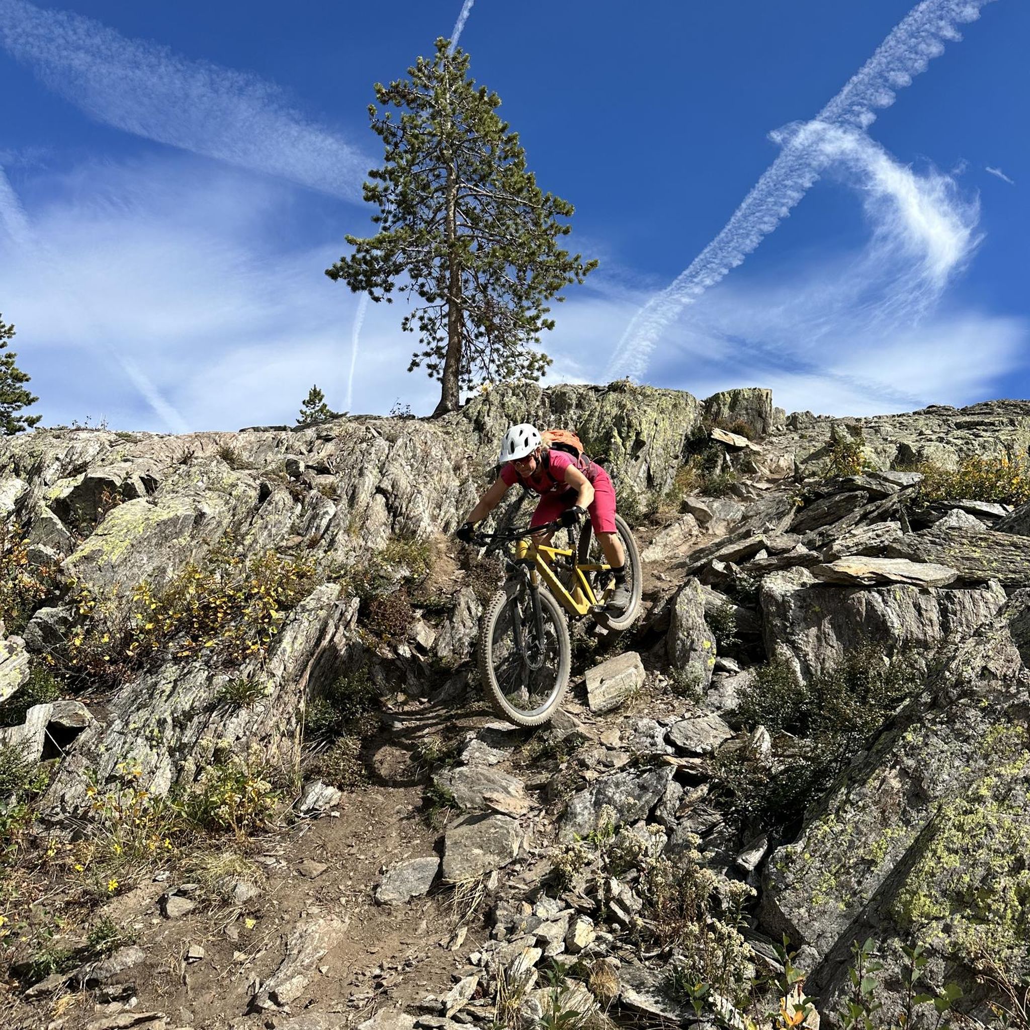
MTB Trails in Medicine Bow-Routt National Forest
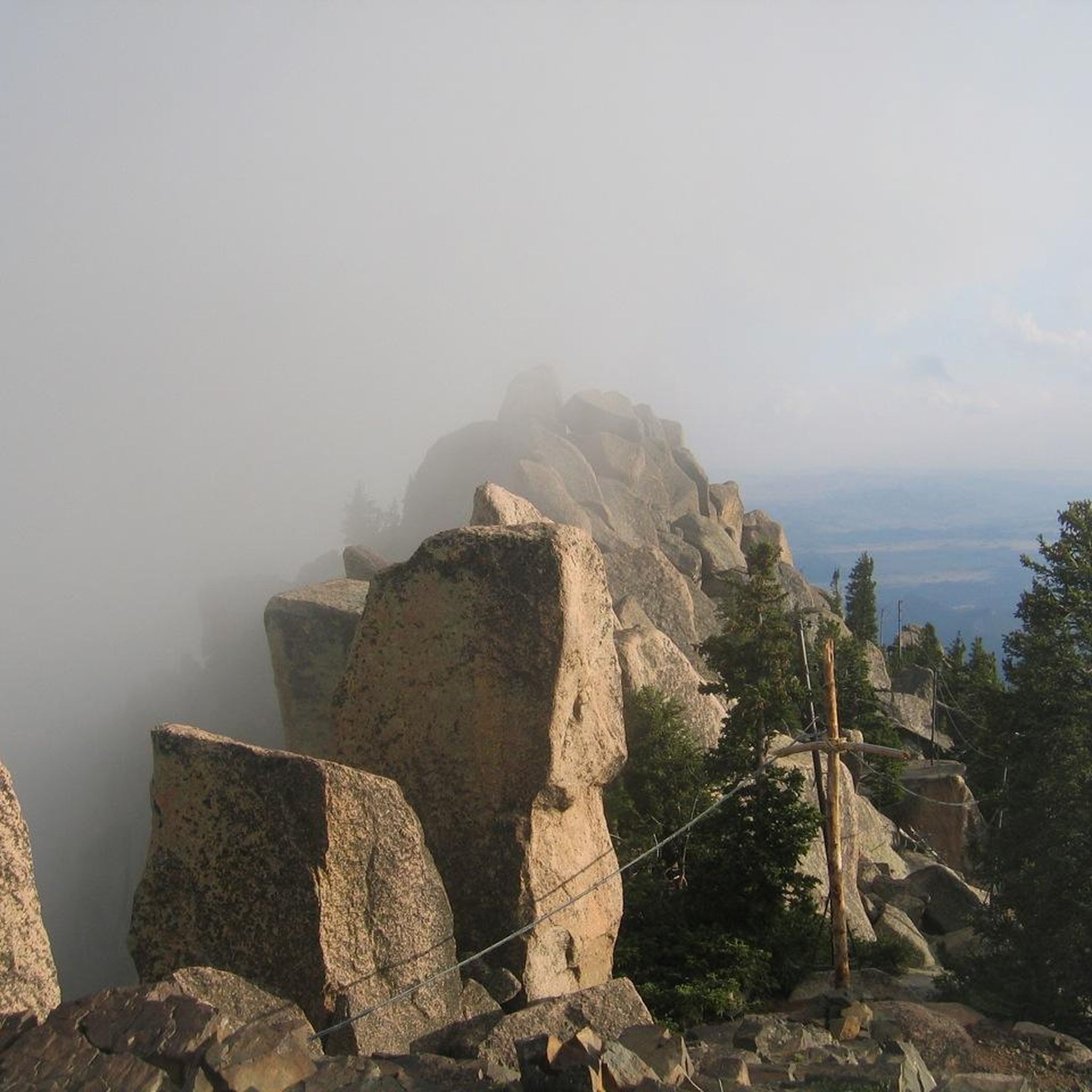
Running Trails in Medicine Bow-Routt National Forest
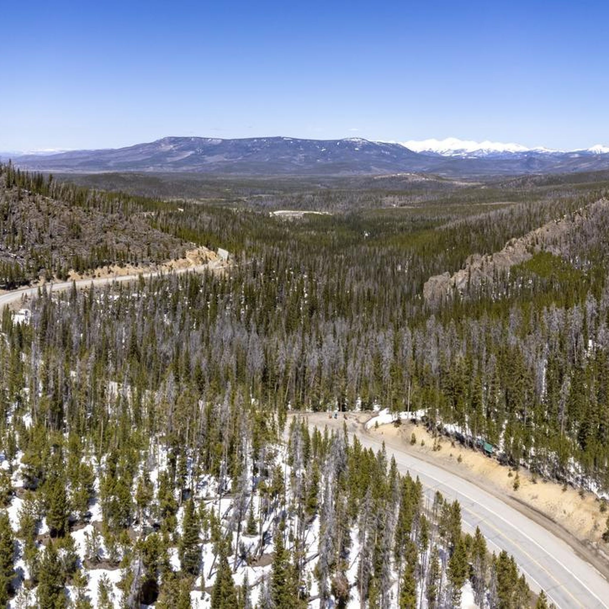
Road Cycling Routes in Medicine Bow-Routt National Forest
Gravel biking in Medicine Bow-Routt National Forest
Other adventures in Medicine Bow-Routt National Forest


Tips from the Community

Amazing pass! But be cautious about elevation sickness. The pass is at 3306 meters, and symptoms of elevation sickness usually become noticeable at around 2800 meters.
0
0

The entire Snowy Range Road is gorgeous, but this pass has to be its crowning glory. There is a parking area, so you can start a run here if you like; but if you start somewhere else and use this as the endpoint, you can have a relaxed, downhill run on the way back.
1
0
The entire Snowy Range Road is gorgeous, but this pass has to be its crowning glory. There is a parking area, so you can start a ride here if you like; but if you start somewhere else and use this as the endpoint of your ride, you can turn around and enjoy a long, relaxed coast on the way back down.
1
0
All told, the TransAmerica runs for more than 4,000 miles across the country. This section of the trail runs from Saratoga to the junction with I-80, with just one significant incline/decline as you near that junction. Although technically a road ride, it's common to see people riding the paved shoulder with their touring bikes.
2
0
This section of the TransAmerica Trail runs from Saratoga, Wyoming, through the neighboring communities of Riverside and Encampment, and to the shores of the small, pretty Encampment River. Technically this is a road ride, but it's common to see people here on touring bikes or even full-on bikepacking. The terrain is rolling enough to be interesting, but not so steep that you have to be a serious road biker with quads of steel to manage it. All in all, this is a great place for a relaxed ride in beautiful scenery.
2
0
Despite the name this is actually a road ride — a beautiful one, as the wide-open grasslands toward the north of Wyoming give way to the rolling foothills that herald the approach of much higher-elevation peaks in nearby Medicine Bow National Forest and Huston Park Wilderness.
2
0
Of all the lakes you'll pass while riding Snowy Range Road, Lake Marie is the prettiest and most accessible from the road. This sort of scenery is exactly the reason for riding this road.
1
0
Barber Lake Road is quiet enough — and scenic enough — to be a fun ride, even if you're not on a road bike. Just know that if you're riding east to west you'll be pedaling almost constantly uphill, whereas going west to east is a consistent (and super-fun) downhill. It's a lot more satisfying to get the uphill out of the way at the start. Along the way, you'll pass the turnoff for the Snowy Lake Lodge, now a private property but still on the National Register of Historic Places; and believe it or not, this is a great place to spot butterflies, like the hoary anglewing, as well. If you feel comfortable going downhill fast on a busier road, you can even turn this into a loop by going up Barber Lake Road and down Snowy Range Road.
1
0
Frequently Asked Questions
How many touring cycling routes are available in Medicine Bow-Routt National Forest?
Medicine Bow-Routt National Forest offers a wide selection of touring cycling routes, with over 70 options available. These routes cater to various skill levels, including 16 easy, 31 moderate, and 25 difficult trails, ensuring there's a ride for every cyclist.
What do other touring cyclists enjoy most about the routes in Medicine Bow-Routt National Forest?
The routes in Medicine Bow-Routt National Forest are highly rated by the komoot community, with an average score of 4.2 stars from over 10 reviews. Cyclists frequently praise the diverse landscapes, from dense forests and exposed rock faces to expansive open spaces, as well as the majestic mountains and serene alpine lakes encountered along the way.
When is the best time of year for touring cycling in Medicine Bow-Routt National Forest?
The prime season for touring cycling in Medicine Bow-Routt National Forest is typically during the summer and early fall months. Due to the region's high elevations, some routes and passes, like the Snowy Range Road, are only accessible seasonally, usually from late May or early June through October, depending on snow conditions.
Are there touring cycling routes suitable for beginners or families?
Yes, there are routes perfect for beginners and families. An excellent option is the Snowy Range Road (Lake Marie to Snowy Range Pass), which offers an easy ride with stunning views of Medicine Bow Peak and alpine lakes. This paved route is part of a scenic byway, providing a less challenging experience.
Are there any long-distance or challenging touring routes for experienced cyclists?
Experienced touring cyclists will find several challenging options. The Elk Mountain loop — Steamboat Springs is a difficult 46.6-mile route with significant elevation gains through forested areas. Another demanding option is Forest Service Road 900 from Yampa to Bear Lake Campground, known for its substantial climbs.
Can I find circular touring cycling routes in the forest?
Yes, circular routes are available for touring cyclists who prefer to start and end at the same point. A popular choice is the Medicine Bow Rail Trail loop from Pelton Creek Trailhead, which is a moderate 21.5-mile path leading through forested areas along a historic railroad bed.
What kind of terrain can I expect on the touring cycling routes?
The terrain in Medicine Bow-Routt National Forest is highly varied. You'll encounter both paved and dirt roads, winding through dense forests, past exposed rock formations, and across expansive open spaces. Routes can range from relatively flat sections of rail trails to challenging climbs with significant elevation gains in mountainous areas like the Snowy Range.
Are there any notable natural attractions or landmarks to see along the routes?
Absolutely. The forest is rich in natural beauty. You can find majestic mountains like Medicine Bow Peak, serene alpine lakes such as Lake Marie and Mirror Lake, and distinctive rock formations like those at Vedauwoo. The Overlook of Fish Creek Falls also offers an accessible viewpoint of a stunning 283-foot waterfall.
Are there any dog-friendly touring cycling routes in Medicine Bow-Routt National Forest?
While specific regulations can vary by trail and wilderness area, generally, dogs are permitted on most Forest Service roads and trails within Medicine Bow-Routt National Forest, provided they are kept on a leash. Always check local signage and regulations for the specific route you plan to ride to ensure compliance and respect for wildlife.
Where can I find parking and trailheads for touring cycling routes?
Access points with parking are available at various trailheads throughout the forest. For instance, the Medicine Bow Rail Trail has designated parking and restrooms along its path. Many Forest Service roads and popular scenic byways also offer pull-offs and parking areas. It's advisable to check specific route details for the most convenient parking locations.
Are there any sections of the TransAmerica Trail within the forest?
Yes, portions of the TransAmerica Trail pass through Medicine Bow-Routt National Forest. One such section is the TransAmerica Trail: Saratoga to Encampment River — Carbon County, Wyoming. This moderate route offers a scenic ride where wide-open grasslands transition into the foothills of higher peaks.
What kind of wildlife might I encounter while cycling?
The diverse ecosystems of Medicine Bow-Routt National Forest support a variety of wildlife. Cyclists might spot deer, elk, moose, and various bird species. In higher elevations, pikas and marmots are common. Always maintain a respectful distance and be aware of your surroundings, especially in areas known for larger mammals.
Are there any unique geological features to look out for?
Beyond the dramatic mountain ranges, the forest is home to several unique geological features. Vedauwoo is famous for its distinctive rock formations, popular with climbers and sightseers. Additionally, Sugar Loaf Mountain, a dome-shaped rock formation, provides panoramic views, and the Indian Bathtubs near Riverside offer a glimpse into natural rock carvings.
Most popular routes in Medicine Bow-Routt National Forest
Most popular attractions in Medicine Bow-Routt National Forest

Get inspired with the komoot mobile app


Explore more
Browse the best Cycling routes in other regions.
