The best running trails in Medicine Bow-Routt National Forest
238
runners
65
runs
Jogging in Medicine Bow-Routt National Forest offers diverse landscapes across nearly 2.9 million acres in northern Colorado and eastern Wyoming. The region is characterized by dramatic mountain ranges, including the iconic Snowy Range, and elevations ranging from 5,500 to 12,940 feet. Runners will encounter pristine alpine lakes, serene streams, and extensive wilderness areas, providing varied terrain for all abilities. The forest's four ecological zones, from sagebrush steppe to alpine, contribute to its rich natural environment.
Best jogging routes in Medicine…
Last updated: July 7, 2026
17
runners
17.2km
02:05
720m
720m
The Gilpin Lake and Gold Creek Lake loop, also known as the Zirkel Circle, is a difficult jogging route that covers 10.7 miles (17.2 km). You will gain 2349 feet…
14
runners
11.3km
01:37
450m
460m
Embark on the Medicine Bow Peak Loop, a difficult jogging route that takes you through rugged alpine landscapes. You will encounter flower-filled meadows and pass shimmering alpine lakes like Lake…

Sign up for free
7
runners
6.51km
01:00
380m
380m
Prepare for a demanding jogging adventure on the Fish Creek Trail, a difficult 4.0-mile (6.5 km) route that climbs 1243 feet (379 metres) in about one hour. The terrain is…
6
runners
11.0km
01:25
220m
220m
Embark on the Wyoming Trail Loop From Dumont Lake, a moderate jogging route spanning 6.8 miles (11.0 km) with an elevation gain of 737 feet (225 metres). You can expect…
6
runners
4.52km
00:33
80m
70m
Set out on the Turtle Rock Loop Trail for an easy jogging experience that circles the iconic Turtle Rock, a massive Sherman granite formation. This 2.8-mile (4.5 km) route offers…
Get access to more routes and recommendations from other explorers.
Sign up for free
Already have an account?
Our route recommendations are based on thousands of hikes, rides, and runs completed by other people on komoot.
Start today with a free account
Your next adventure awaits.
Login or Signup
Popular around Medicine Bow-Routt National Forest

The Continental Divide Trail — Across the sky of America
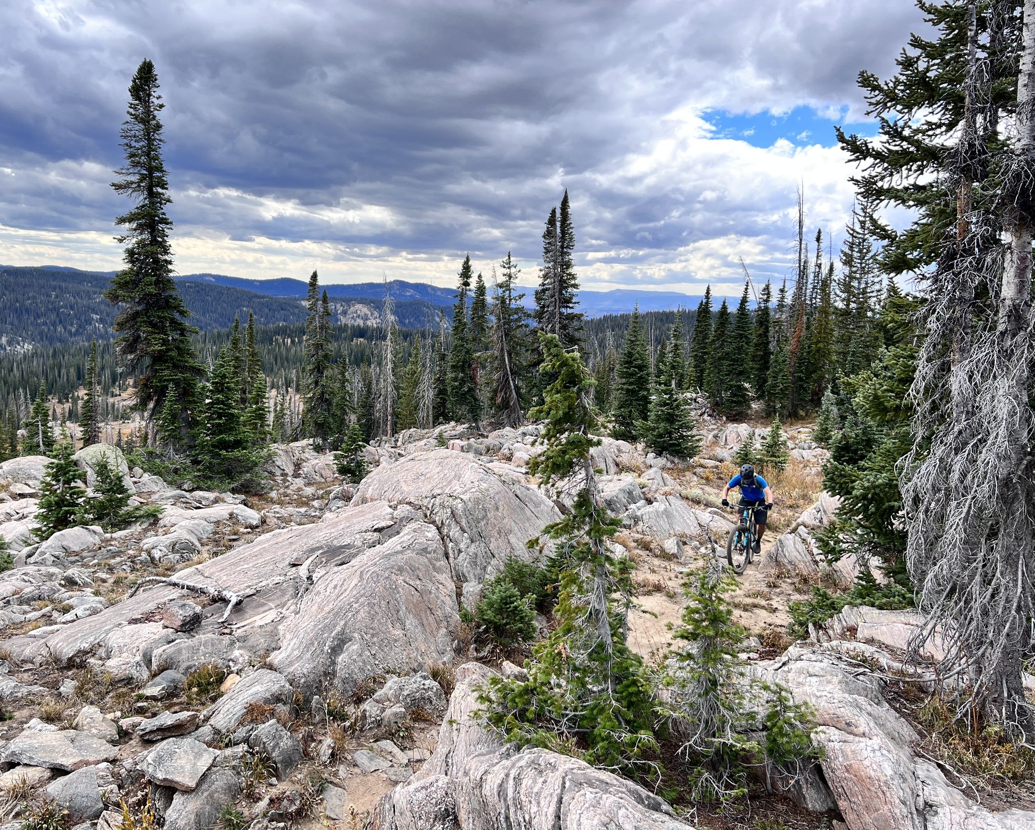
Steamboat Springs – unique singletrack loops in Colorado
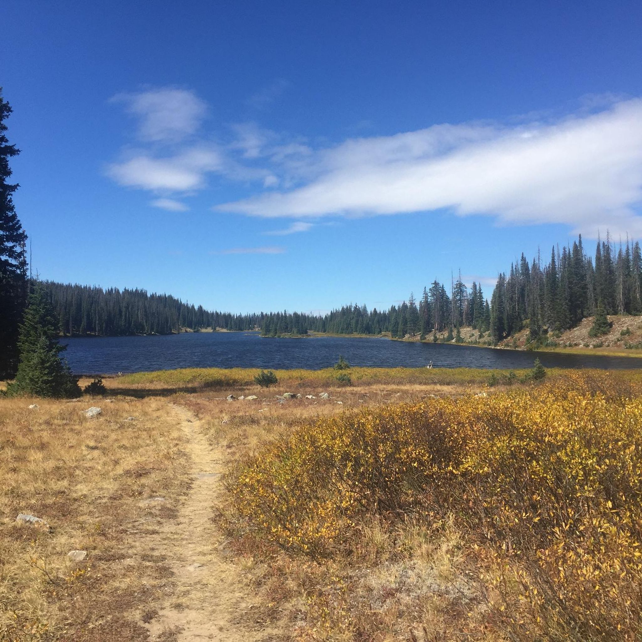
Hiking in Medicine Bow-Routt National Forest
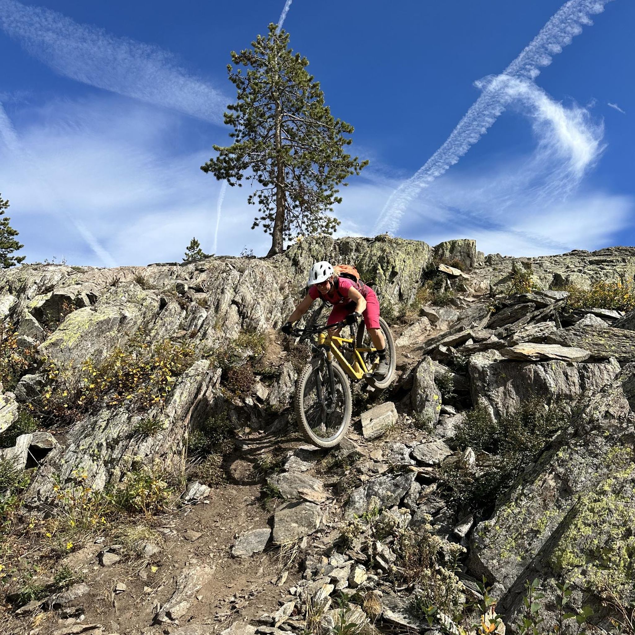
MTB Trails in Medicine Bow-Routt National Forest
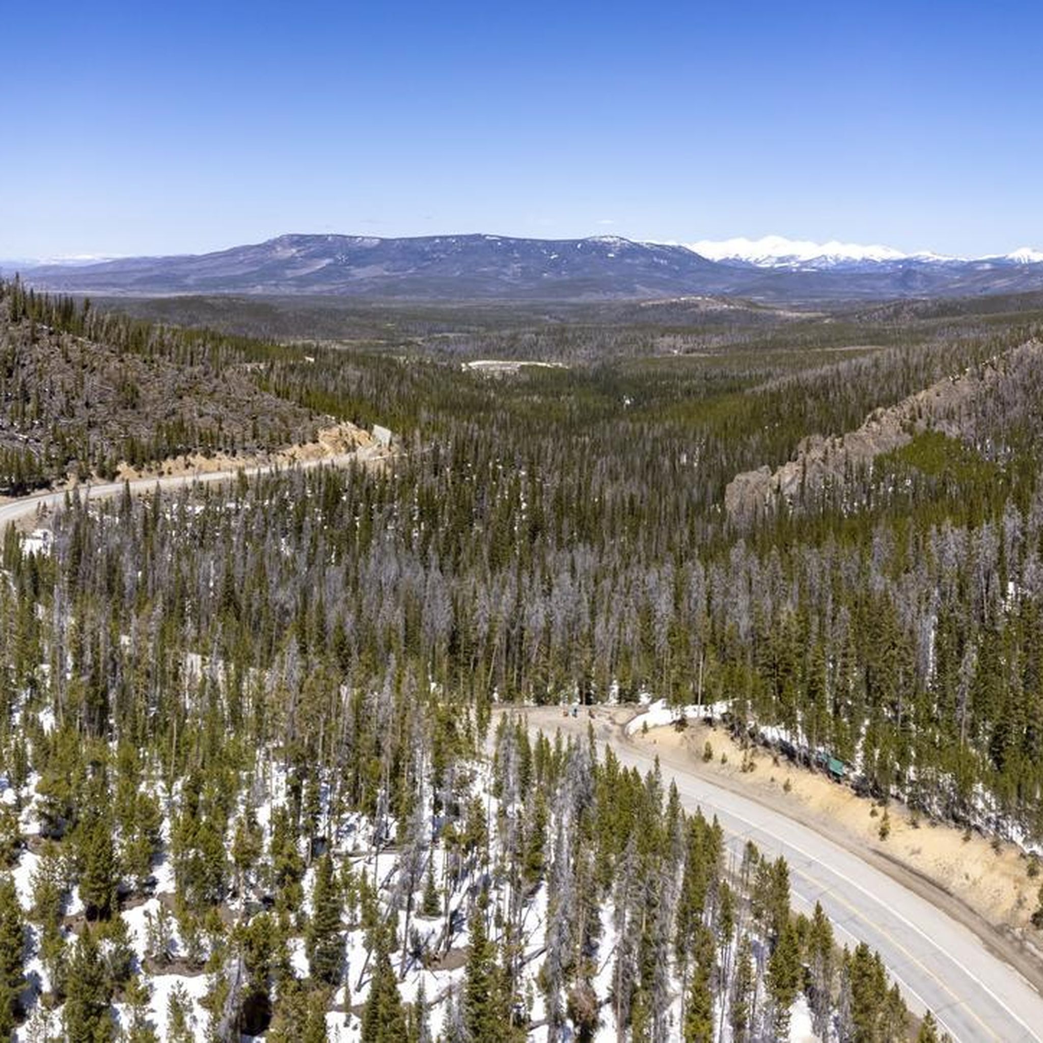
Road Cycling Routes in Medicine Bow-Routt National Forest
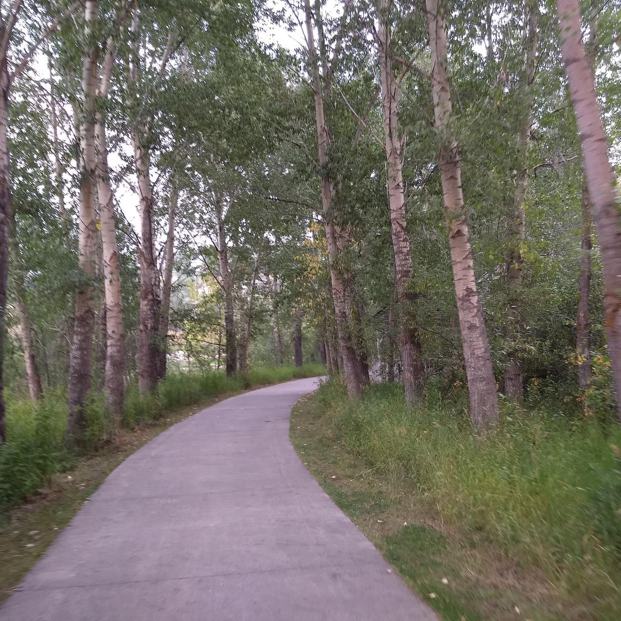
Cycling in Medicine Bow-Routt National Forest
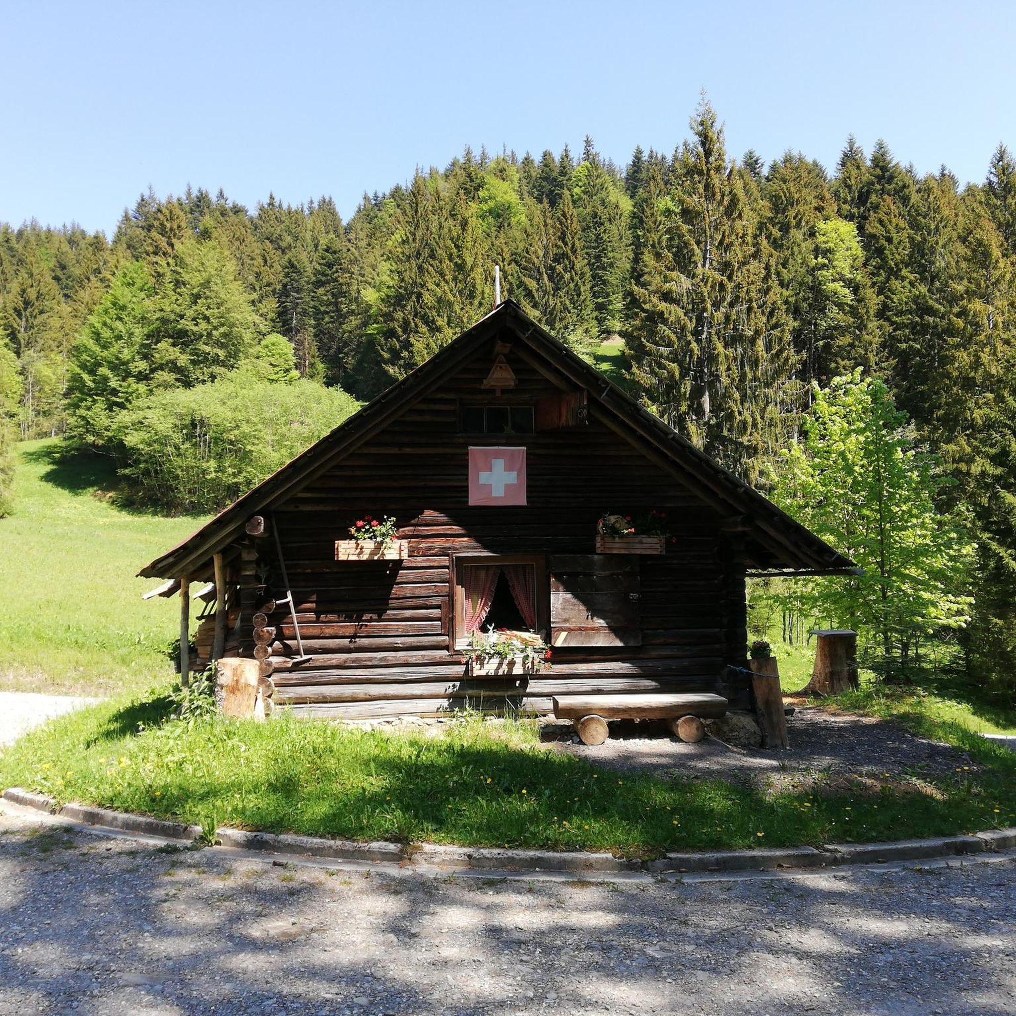
Gravel biking in Medicine Bow-Routt National Forest
Other adventures in Medicine Bow-Routt National Forest


Tips from the Community

This dirt road makes for easy running, and offers a great view of the stumpy rock formation of Rabbit Ears Peak. (They used to be more prominent, but have been weathered down over the years.) The road eventually ties in with the Continental Divide Trail.
1
0
This dirt road makes for easy walking, and offers a great view of the stumpy rock formation of Rabbit Ears Peak. (They used to be more prominent, but have been weathered down over the years.) The road eventually ties in with the Continental Divide Trail.
1
0
This is another beautiful waterfall, and much less crowded than the lower Fish Creek Falls. Parts of the trail reaching here are very rocky and backed up against cliffs, so keep your wits about you — especially when you cross paths with other trail users, which may include mountain bikers.
1
0
These falls are stunning, and the trail to this lookout is an easy warmup. Keep your wits about you, though — this is a very popular area, so you may have to weave in and out of the crowds. The farther you go up the trail the easier it'll be to keep up a run, even as the trail gets rougher.
1
0
The trail to this overlook is wheelchair accessible, and gives you a fantastic overview of 283-foot Fish Creek Falls.
1
0
This popular trail isn't a hard run as such, but it is made more challenging than it seems at first due to the presence of lots of rocks and roots and even the occasional fallen tree in the trail, and lots of other trail users including walkers and mountain bikers. The centerpiece of the loop is an iconic outcropping of Sherman Granite that does look a bit like a turtle when viewed from the right angle.
1
0
This easy — and very popular — trail loops around an iconic outcropping of Sherman Granite that does look a bit like a turtle when viewed from the right angle. Watch for lots of rocks, roots, and even the occasional downed tree. Although this is a popular spot for mountain biking you'll see lots of hikers and trail runners here too, so please take care and be respectful of other trail users.
1
0
This easy — and very popular — hiking trail loops around an iconic outcropping of Sherman Granite that does look a bit like a turtle when viewed from the right angle.
2
0
Frequently Asked Questions
How many running routes are available in Medicine Bow-Routt National Forest?
There are over 60 running routes documented in Medicine Bow-Routt National Forest, catering to various fitness levels. You'll find a mix of easy, moderate, and difficult trails to explore.
What kind of terrain can I expect when running in Medicine Bow-Routt National Forest?
The forest offers a highly diverse landscape, from dramatic mountain ranges and alpine views in the Snowy Range to unique granite rock outcroppings in the Vedauwoo Recreation Area. You'll encounter pristine alpine lakes, serene streams, and trails winding through sagebrush steppe, montane, riparian, and alpine ecological zones. Expect varied surfaces, from well-maintained paths to more rugged mountain trails.
Are there any easy or family-friendly running options in the forest?
Yes, there are several easier options suitable for a more relaxed run or family outing. The Turtle Rock Loop Trail is a great example, offering a shorter, less strenuous experience. The Wyoming Trail Loop From Dumont Lake is another moderate option that is less challenging than the high-alpine routes.
Can I find running routes that feature waterfalls?
Absolutely. The Medicine Bow-Routt National Forest is home to stunning natural features like Fish Creek Falls. The Fish Creek Trail, for instance, leads to impressive natural features, including waterfall views. You can also find an Overlook of Fish Creek Falls.
Are there any circular running routes available?
Yes, many of the forest's trails are designed as loops, offering a complete scenic experience without retracing your steps. Popular circular routes include the challenging Gilpin Lake and Gold Creek Lake loop (Zirkel Circle) and the Medicine Bow Peak Loop, both offering incredible alpine views.
What are some notable natural attractions or landmarks I might see while running?
Beyond the stunning mountain ranges and alpine lakes, you can explore unique geological formations like the massive granite rock outcroppings in the Vedauwoo Recreation Area. Highlights such as Lookout Lake and Hahns Peak Lake offer picturesque lakeside views. The forest also encompasses extensive wilderness areas like Encampment River and Mount Zirkel Wildernesses, providing unspoiled natural environments.
Is the Medicine Bow-Routt National Forest suitable for dog-friendly running?
Yes, some trails in the Medicine Bow-Routt National Forest are dog-friendly. A notable option is the Medicine Bow Rail Trail, a 21-mile gravel path that allows dogs and winds through rugged national forest land. Always check specific trail regulations and ensure your dog is on a leash where required.
What is the best season for running in Medicine Bow-Routt National Forest?
While some areas offer year-round access, the summer months are generally ideal for running, especially in higher elevations where you'll find cooler temperatures and breathtaking alpine views. Conditions can vary significantly with elevation and season, so it's always wise to check local weather and trail conditions before heading out, particularly in spring and fall when snowmelt or early snow can impact accessibility.
Are there any long-distance or challenging running routes for experienced runners?
Yes, the forest is well-suited for experienced runners seeking a challenge. Routes like the Gilpin Lake and Gold Creek Lake loop (Zirkel Circle), at 10.7 miles with significant elevation gain, or the 7.0-mile Medicine Bow Peak Loop, offer strenuous experiences with rewarding alpine scenery.
What do other runners say about the trails in Medicine Bow-Routt National Forest?
The trails in Medicine Bow-Routt National Forest are highly regarded by the komoot community, with over 200 runners having explored its varied terrain. Users frequently praise the diverse landscapes, from dramatic mountain ranges to pristine alpine lakes, and the wide range of options available for different ability levels, ensuring a rewarding experience for everyone.
Where can I find parking at trailheads in Medicine Bow-Routt National Forest?
Many popular trailheads throughout the forest offer designated parking areas. For example, you can find parking at Freeman Reservoir Trailheads or Dry Lake Trailhead. It's advisable to check specific route details or local forest service information for precise parking locations and any potential fees before your visit.
Are there any specific regulations or permits required for running in the forest?
Generally, no specific permits are required for day-use running on most trails in the Medicine Bow-Routt National Forest. However, some wilderness areas or specific recreational sites might have different regulations or require a fee. It's always best to consult the official Medicine Bow-Routt National Forest website or local ranger stations for the most current information regarding permits, fees, and specific area restrictions.
Most popular routes in Medicine Bow-Routt National Forest
Most popular attractions in Medicine Bow-Routt National Forest

Get inspired with the komoot mobile app


Explore more
Browse the best Running Trails & Routes in other regions.
