The best traffic-free bike rides around Lamadeleine-Val-Des-Anges
4.4
(238)
3,301
riders
55
rides
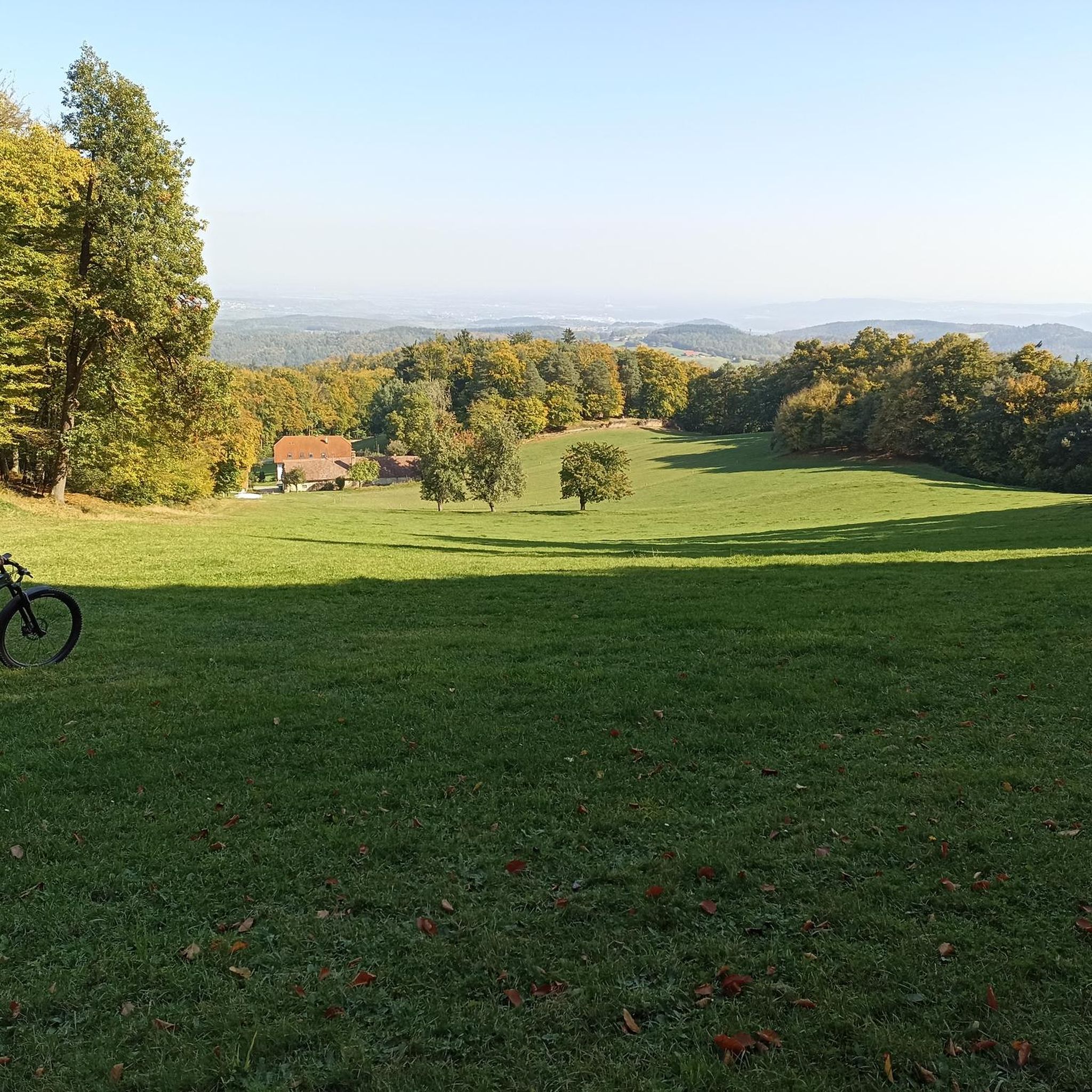
No traffic touring cycling routes around Lamadeleine-Val-Des-Anges are situated within the Parc naturel régional des Ballons des Vosges, offering a mountainous landscape with dense forests. The region is characterized by a narrow valley at approximately 650 meters altitude, through which the Madeleine river flows. Notable features include the Baerenkopf mountain, which reaches 1,074 meters, and high-altitude grasslands known as "chaumes." This environment provides varied terrain suitable for touring cyclists seeking routes away from heavy traffic.
Best no traffic touring cycling routes around Lamadeleine-Val-Des-Anges
- The most popular no traffic touring cycling route is Sportif loop from Giromagny to Lac du Malsoucy via Port de Giromagny and the hills, a 15.4 miles (24.8 km) trail that takes 1 hour 38 minutes to complete, featuring challenging hills and scenic lake views.
- Another top favourite among local touring cyclists is Salbert Viewpoint – Malsaucy cycling link loop from Giromagny, a difficult 27.7 miles (44.6 km) path. This route offers panoramic views from the Salbert Viewpoint and connects to Lac du Malsaucy.
- Local touring cyclists also love the Fort de Giromagny loop from Étueffont, a 16.1 miles (25.9 km) trail leading through varied terrain, often completed in about 1 hour 37 minutes.
- Touring cycling around Lamadeleine-Val-Des-Anges is defined by mountainous landscapes, dense forests, and high-altitude grasslands. The network offers options for easy, moderate, and difficult routes, catering to different ability levels.
- The routes in Lamadeleine-Val-Des-Anges are highly rated by the komoot community with an average score of 4.3 stars from over 190 reviews. More than 3000 touring cyclists have used komoot to explore Lamadeleine-Val-Des-Anges's varied terrain.
Last updated: July 3, 2026
5
riders
Hard bike ride. Good fitness required. You may need to push your bike for some segments of this route.
4
riders
34.6km
02:06
300m
300m
Moderate bike ride. Good fitness required. Mostly paved surfaces. Suitable for all skill levels.

Sign up for free
5.0
(1)
8
riders
25.5km
02:11
660m
660m
Hard bike ride. Very good fitness required. Mostly paved surfaces. Suitable for all skill levels.
5
riders
18.5km
02:03
690m
690m
Hard bike ride. Very good fitness required. You may need to push your bike for some segments of this route.
7
riders
26.5km
02:38
740m
740m
Hard bike ride. Very good fitness required. You may need to push your bike for some segments of this route.
Get access to more routes and recommendations from other explorers.
Sign up for free
Already have an account?
Our route recommendations are based on thousands of hikes, rides, and runs completed by other people on komoot.
Start today with a free account
Your next adventure awaits.
Login or Signup
Popular around Lamadeleine-Val-Des-Anges

Tips from the Community

I liked this pleasant lake, its welcoming terrace. We wanted to return, from the woods, but had to turn back (Spring 2026). Access is now blocked by palisades with warning signs and monitored by cameras. The marked trails of the Club Vosgien have been rerouted. As a result, the desire to go to the bar was forgotten!
0
0

very beautiful route!!! drive slowly!! watch out for pedestrians
0
0

The opening times are published online and it's worth investing the €4 for entry. The complex is huge, although not all rooms are accessible. We visited without a guide, but were provided with detailed information material - in German! A very interesting complex that is maintained by a club. Respect!!!
0
0

Swimming in the lake is prohibited! https://camping-lac-seigneurie.com/
0
0

Pleasant route in the middle of the lakes.
3
0

It's worth taking your bathing suit with you for this lake and refreshing yourself in the heat
1
0
6 meter high statue that was erected after World War I.
1
0
Frequently Asked Questions
How many traffic-free touring cycling routes are available in Lamadeleine-Val-Des-Anges?
There are over 50 dedicated touring cycling routes around Lamadeleine-Val-Des-Anges that focus on minimizing traffic, offering a peaceful experience. These routes vary in difficulty, ensuring options for different skill levels.
What is the typical terrain and difficulty level of the no-traffic touring cycling routes?
The routes in this sub-Vosgian region often feature a mix of forest roads and paths, with the landscape characterized by mountainous terrain. You'll find routes ranging from moderate to difficult, with significant elevation gains, especially towards peaks like the Baerenkopf. For example, the Sportif loop from Giromagny is rated difficult, covering over 24 km with more than 260 meters of ascent.
Are there any challenging no-traffic routes for experienced touring cyclists?
Yes, experienced touring cyclists will find several challenging options. Many routes feature significant elevation changes, taking advantage of the mountainous landscape. For instance, the View from Fuchsberg Lookout – La Vierge d'Alsace loop from Niederbruck is a difficult route spanning over 18 km with nearly 700 meters of elevation gain, offering a substantial workout and rewarding views.
What natural features or landmarks can I expect to see on these routes?
The region is rich in natural beauty and historical sites. You can expect to encounter dense forests, high-altitude grasslands known as 'chaumes', and panoramic viewpoints. Notable natural attractions include the Ballon d'Alsace and La Planche des Belles Filles. Historically, you might pass by the Chapel Sainte-Marie-Madeleine, a 16th-century pilgrimage site.
When is the best time of year to enjoy traffic-free touring cycling in Lamadeleine-Val-Des-Anges?
The best time to visit for touring cycling is generally from spring through autumn. During these seasons, the weather is more favorable, and the natural beauty of the Parc naturel régional des Ballons des Vosges is at its peak. Winter can be challenging due to snow and colder temperatures, especially at higher elevations.
Are there family-friendly no-traffic touring cycling routes suitable for children?
While many routes in the area involve significant elevation, there are easier options available. With 6 easy routes among the total, families can find suitable paths, often utilizing quieter forest roads. It's advisable to check the route details for distance and elevation to ensure it matches your family's capabilities.
What do other touring cyclists enjoy the most about touring cycling in Lamadeleine-Val-Des-Anges?
The area is highly rated by the komoot community, with an average score of 4.34 stars from nearly 200 ratings. Reviewers often praise the quiet, forested routes, the challenging ascents leading to stunning panoramic views, and the opportunity to explore the natural beauty of the Vosges away from traffic.
Are there circular touring cycling routes available?
Yes, many of the touring cycling routes in the region are designed as loops, allowing you to start and end at the same point. For example, the Salbert Viewpoint – Malsaucy cycling link loop from Giromagny offers a challenging circular tour of over 44 km.
Are there convenient parking options for cyclists near the starting points of these routes?
Given the area's focus on outdoor activities, parking is generally available in and around the villages that serve as common starting points for routes. For instance, towns like Giromagny or Rougemont-le-Château, which are departure points for several tours, typically offer parking facilities. Always check local signage for specific parking regulations.
Can I find places to rest or picnic along the no-traffic routes?
Yes, the region is equipped with amenities for outdoor enthusiasts. Along some routes, especially those leading to higher elevations like the Baerenkopf, you may find refuges and designated picnic areas. These spots provide ideal opportunities to rest, refuel, and enjoy the scenic surroundings.
Are there any routes that pass by lakes or water features?
Yes, some routes incorporate local water features. For example, the Seigneurie Lake – Saint-Pantale Church loop from Rougemont-le-Château includes a visit to Seigneurie Lake, offering a pleasant change of scenery during your ride.
Most popular routes around Lamadeleine-Val-Des-Anges
Most popular attractions around Lamadeleine-Val-Des-Anges

Get inspired with the komoot mobile app


Explore more
Browse the best Cycling routes in other regions.
