The best cycling routes around Lamadeleine-Val-Des-Anges
4.4
(213)
3,131
riders
140
rides
Touring cycling routes around Lamadeleine-Val-Des-Anges are set within the sub-Vosgian region of northeastern France, characterized by a mountainous landscape and challenging ascents. The area is part of the Ballons des Vosges Regional Natural Park, offering diverse terrain with forests, high-altitude pastures, and panoramic views. This region provides a dramatic backdrop and varied topography for outdoor pursuits, including routes that feature historically significant climbs like the Ballon d'Alsace.
Best touring cycling routes around Lamadeleine-Val-Des-Anges
- The most popular touring cycling route is…
Last updated: June 28, 2026
4.1
(19)
106
riders
36.9km
02:09
190m
190m
Moderate bike ride. Good fitness required. Mostly paved surfaces. Suitable for all skill levels.
5.0
(1)
91
riders
61.4km
04:19
1,140m
1,140m
Hard bike ride. Very good fitness required. Mostly paved surfaces. Suitable for all skill levels.

Sign up for free
51
riders
44.2km
03:29
1,190m
1,190m
Hard bike ride. Very good fitness required. Mostly paved surfaces. Suitable for all skill levels.
4.3
(19)
73
riders
19.5km
01:08
110m
110m
Easy bike ride. Great for any fitness level. Mostly paved surfaces. Suitable for all skill levels.
3.8
(4)
20
riders
56.5km
03:14
240m
240m
Moderate bike ride. Good fitness required. Mostly paved surfaces. Suitable for all skill levels.
Get access to more routes and recommendations from other explorers.
Sign up for free
Already have an account?
Our route recommendations are based on thousands of hikes, rides, and runs completed by other people on komoot.
Start today with a free account
Your next adventure awaits.
Login or Signup
Popular around Lamadeleine-Val-Des-Anges
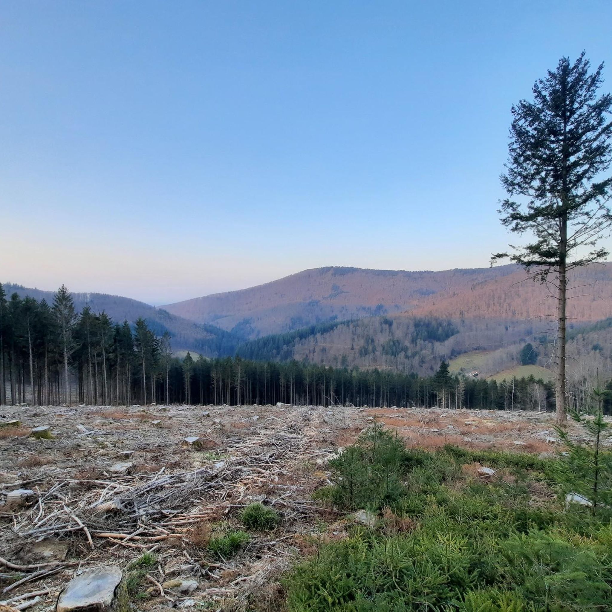
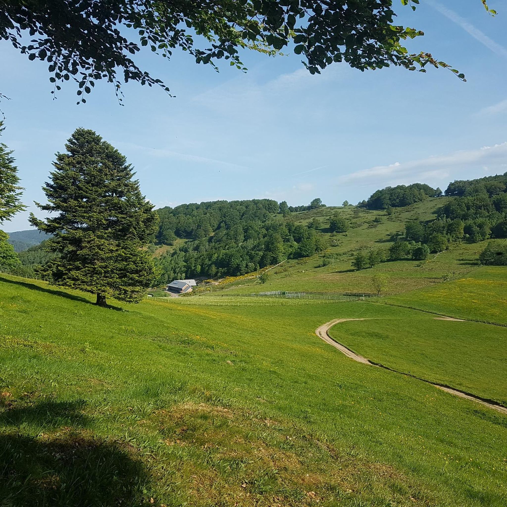
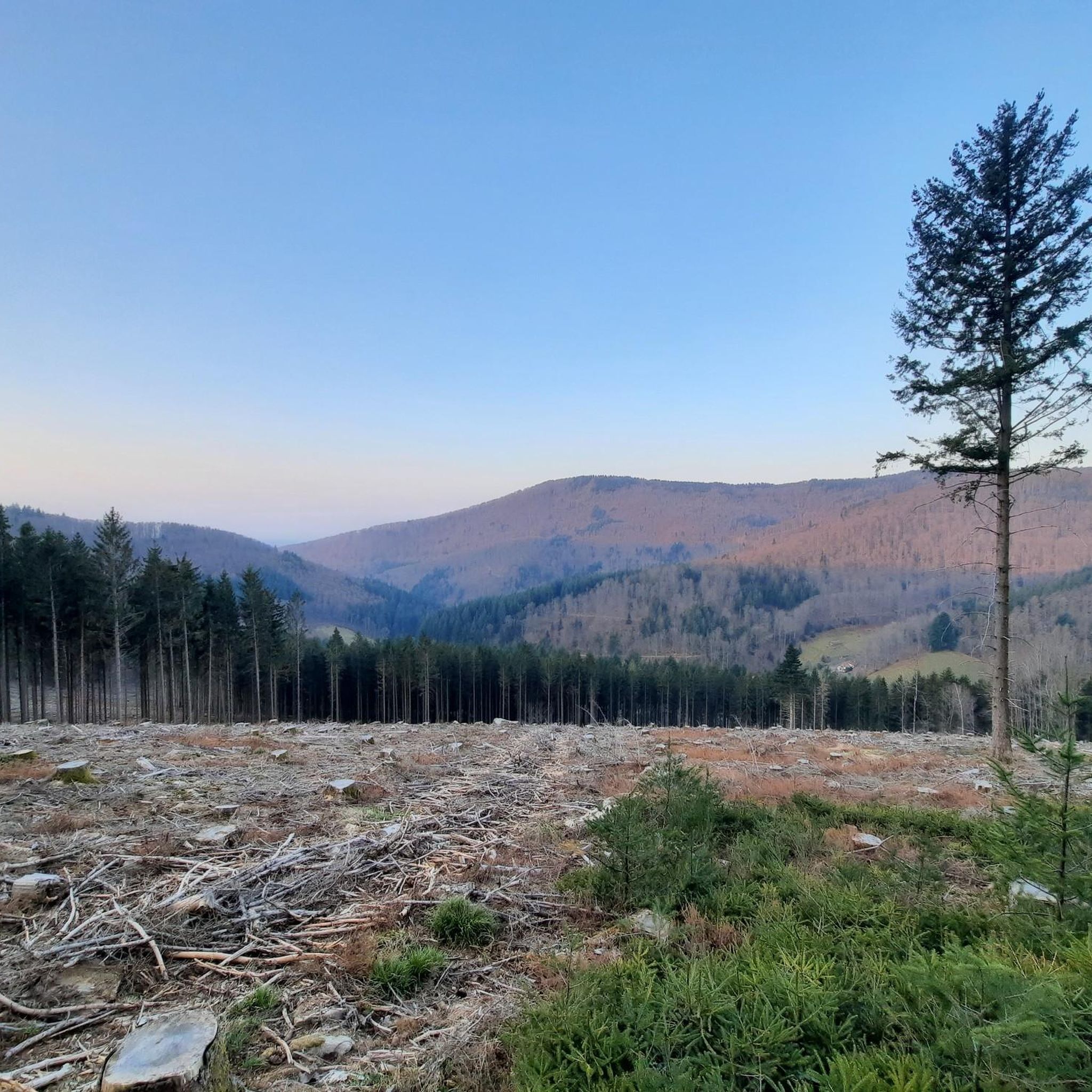
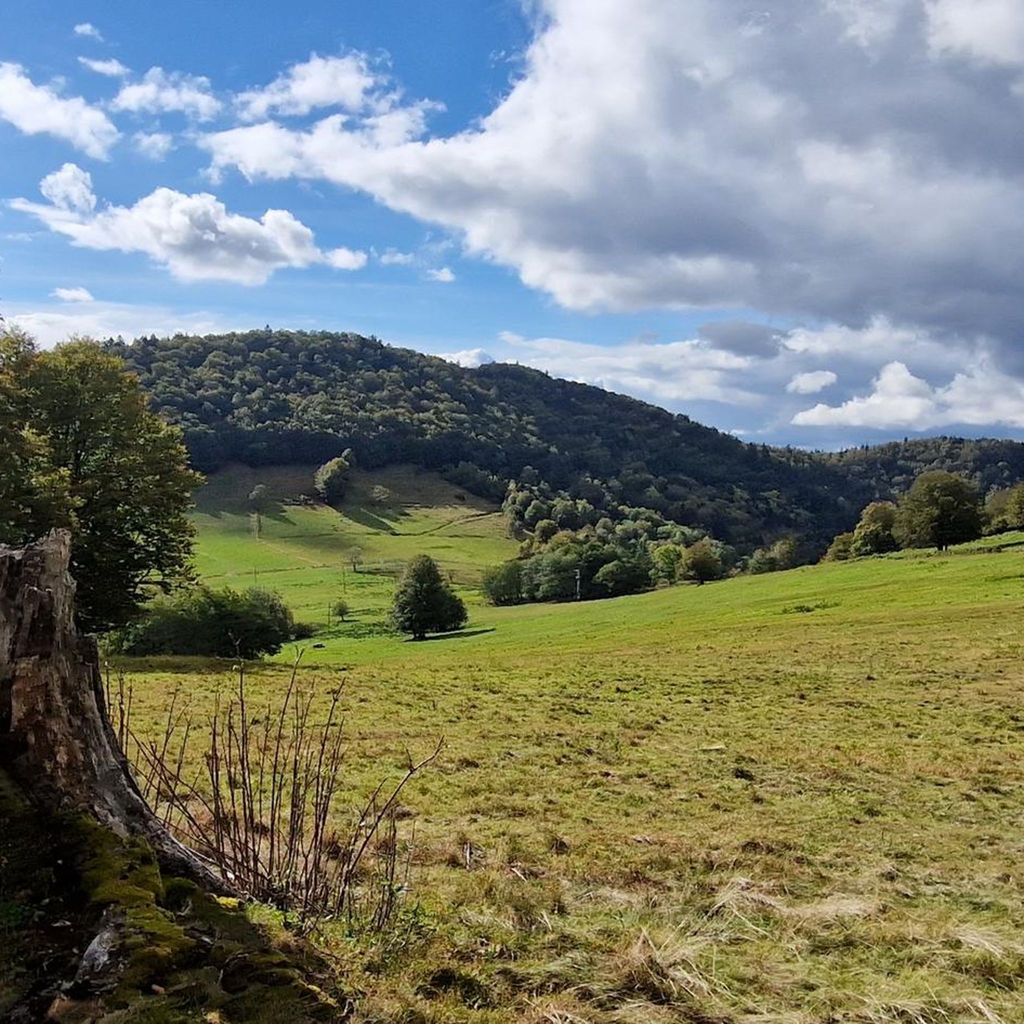

Tips from the Community


Camping Les Cigognes in Cernay is an ideal stopover for long-distance cyclists travelling through Alsace. Located close to the centre, the campsite offers quiet, shady pitches, a heated swimming pool to relax your legs, and basic facilities such as a shop and bread service. With its flat access, nearby supermarkets and restaurants, it is a practical and pleasant place to recharge your batteries for the next stage."
8
0


This bike path is very, very nice, and there's even a bench. The bike path is also under trees.
0
0

https://www.train-doller.org/ Information and travel times.
6
0
Frequently Asked Questions
How many touring cycling routes are available around Lamadeleine-Val-Des-Anges, and what are their difficulty levels?
There are over 130 touring cycling routes in the Lamadeleine-Val-Des-Anges area. These routes cater to various skill levels, with 22 easy routes, 60 moderate routes, and 54 difficult routes for more experienced cyclists.
Are there challenging touring cycling routes for experienced riders in the Lamadeleine-Val-Des-Anges area?
Yes, the region is known for its challenging ascents within the Vosges Mountains. For experienced riders, the Alfeld Lake – Ballon d'Alsace Pass loop from Dolleren is a demanding 31.3-mile (50.4 km) trail that includes significant elevation changes. The area also features iconic climbs like the Ballon d'Alsace and La Planche des Belles Filles, frequently included in the Tour de France, offering steep gradients up to 28%.
What kind of natural landscapes can I expect to see while cycling in Lamadeleine-Val-Des-Anges?
The touring cycling routes in Lamadeleine-Val-Des-Anges traverse a diverse landscape within the Ballons des Vosges Regional Natural Park. You'll encounter mountainous terrain, dense forests, high-altitude pastures known as 'chaumes,' and panoramic views. Prominent features include the Vosges Mountains and peaks like Baerenkopf.
Are there any family-friendly or easy touring cycling routes in the region?
Yes, there are several easy routes suitable for families or those seeking a relaxed ride. An excellent option is the Saint Martin Church – La Vierge d'Alsace loop from Sewen, an easy 12.2-mile (19.6 km) path with gentle gradients and scenic views.
What do other touring cyclists enjoy most about cycling in Lamadeleine-Val-Des-Anges?
The area is highly rated by the komoot community, with an average score of 4.4 stars from over 190 reviews. Cyclists often praise the varied terrain, from easy loops to difficult mountain passes, and the beautiful natural scenery within the Ballons des Vosges Regional Natural Park.
Are there any circular touring cycling routes available?
Yes, many routes in the area are designed as loops, allowing you to start and end at the same point. For example, the popular Sentheim Train Station – Saint-Éloi Church loop from Sewen is a 22.9-mile (36.9 km) trail that offers a complete circular experience through the local landscape.
Can I find routes that follow rivers or offer waterside views?
Yes, some routes incorporate river sections. The The Thur – Thur River loop from Niederbruck is a moderate 34.6-mile (55.7 km) route that follows the Thur River, providing pleasant waterside cycling.
Are there any lakes or waterfalls I can visit along the touring cycling routes?
The region is rich with natural water features. You can find routes that pass by beautiful lakes such as Lake Alfeld, Lac des Perches (Star Lake), and Neuweiher Lake. Additionally, the area features several waterfalls, including the Rummel Waterfalls and Small and Large Seebach Waterfalls.
What is the best season for touring cycling in Lamadeleine-Val-Des-Anges?
The sub-Vosgian region generally offers pleasant cycling conditions from spring through autumn. Summer provides the warmest weather, while spring and autumn offer cooler temperatures and vibrant foliage, making them ideal for longer rides. Winter cycling can be challenging due to snow and ice, especially on higher mountain passes.
Are there any routes that pass by historical or cultural landmarks?
While the region is primarily known for its natural beauty and challenging climbs, routes often pass through charming villages with local churches or traditional architecture. For instance, the Saint-Éloi Church – Seigneurie Lake loop from Étueffont offers a moderate ride that includes a notable church.
What are some prominent natural features or peaks to look out for while cycling?
Cyclists will frequently encounter the dramatic scenery of the Vosges Mountains. Key natural features include the Baerenkopf peak, which offers panoramic views, and the iconic Ballon d'Alsace pass, a historically significant climb in professional cycling. The entire area is part of the Ballons des Vosges Regional Natural Park, ensuring a rich natural backdrop.
Most popular routes around Lamadeleine-Val-Des-Anges
Most popular attractions around Lamadeleine-Val-Des-Anges

Get inspired with the komoot mobile app


Explore more
Browse the best Cycling routes in other regions.
