The best MTB trails around Lamadeleine-Val-Des-Anges
4.2
(242)
1,193
riders
162
rides
Mountain bike trails around Lamadeleine-Val-Des-Anges are set within a hilly and mountainous environment, with elevations ranging from 537 to 1,075 meters. The region features extensive trail networks that traverse varied terrain, including mountain peaks and passes. This landscape provides a diverse range of routes suitable for different skill levels.
Best mountain bike trails around Lamadeleine-Val-Des-Anges
- The most popular mountain bike trail is Fort Senarmont, Bessoncourt – The Log Footbridge loop from Petitmagny, a 24.7 miles (39.7 km) trail that…
Last updated: June 29, 2026
4.8
(12)
34
riders
40.2km
03:00
440m
440m
Hard mountain bike ride. Good fitness required. Advanced riding skills necessary. Some portions of the route may require you to push your bike.
3.8
(5)
18
riders
34.7km
03:43
1,130m
1,130m
Hard mountain bike ride. Very good fitness required. Advanced riding skills necessary. Some portions of the route may require you to push your bike.

Sign up for free
3.7
(3)
21
riders
48.4km
04:10
1,150m
1,150m
Hard mountain bike ride. Very good fitness required. Suitable for all skill levels.
3.5
(2)
22
riders
51.2km
04:18
1,350m
1,350m
Hard mountain bike ride. Very good fitness required. Advanced riding skills necessary.
4.3
(3)
14
riders
44.0km
04:31
1,260m
1,260m
Hard mountain bike ride. Very good fitness required. Advanced riding skills necessary. Some portions of the route may require you to push your bike.
Get access to more routes and recommendations from other explorers.
Sign up for free
Already have an account?
Our route recommendations are based on thousands of hikes, rides, and runs completed by other people on komoot.
Start today with a free account
Your next adventure awaits.
Login or Signup
Popular around Lamadeleine-Val-Des-Anges
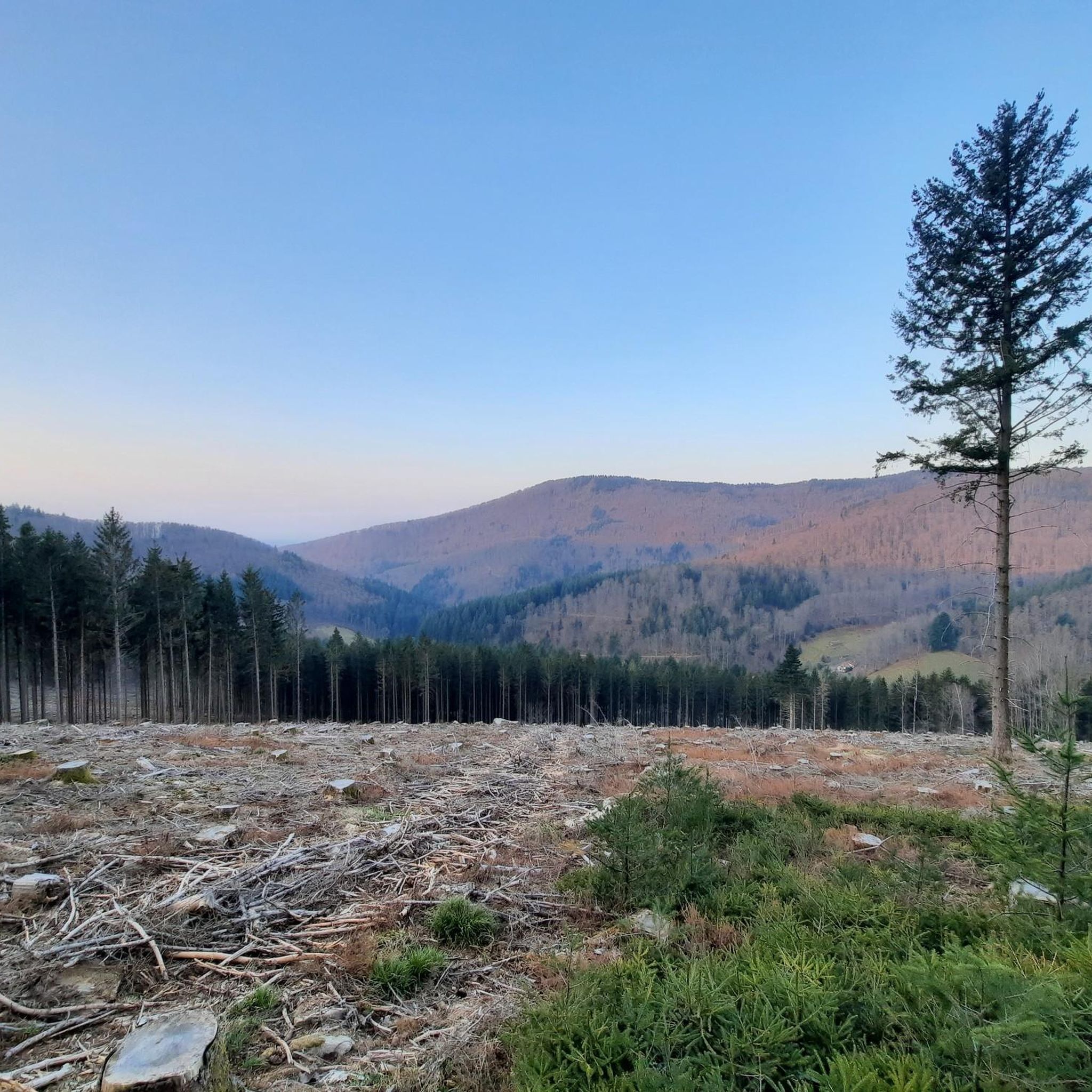
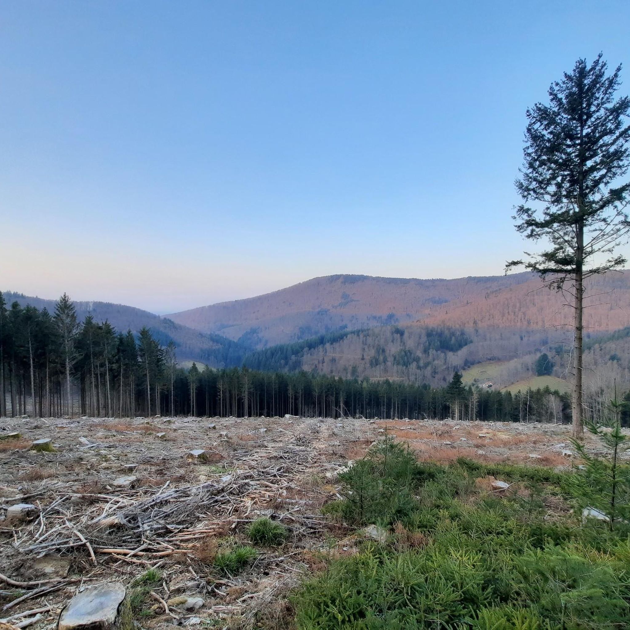
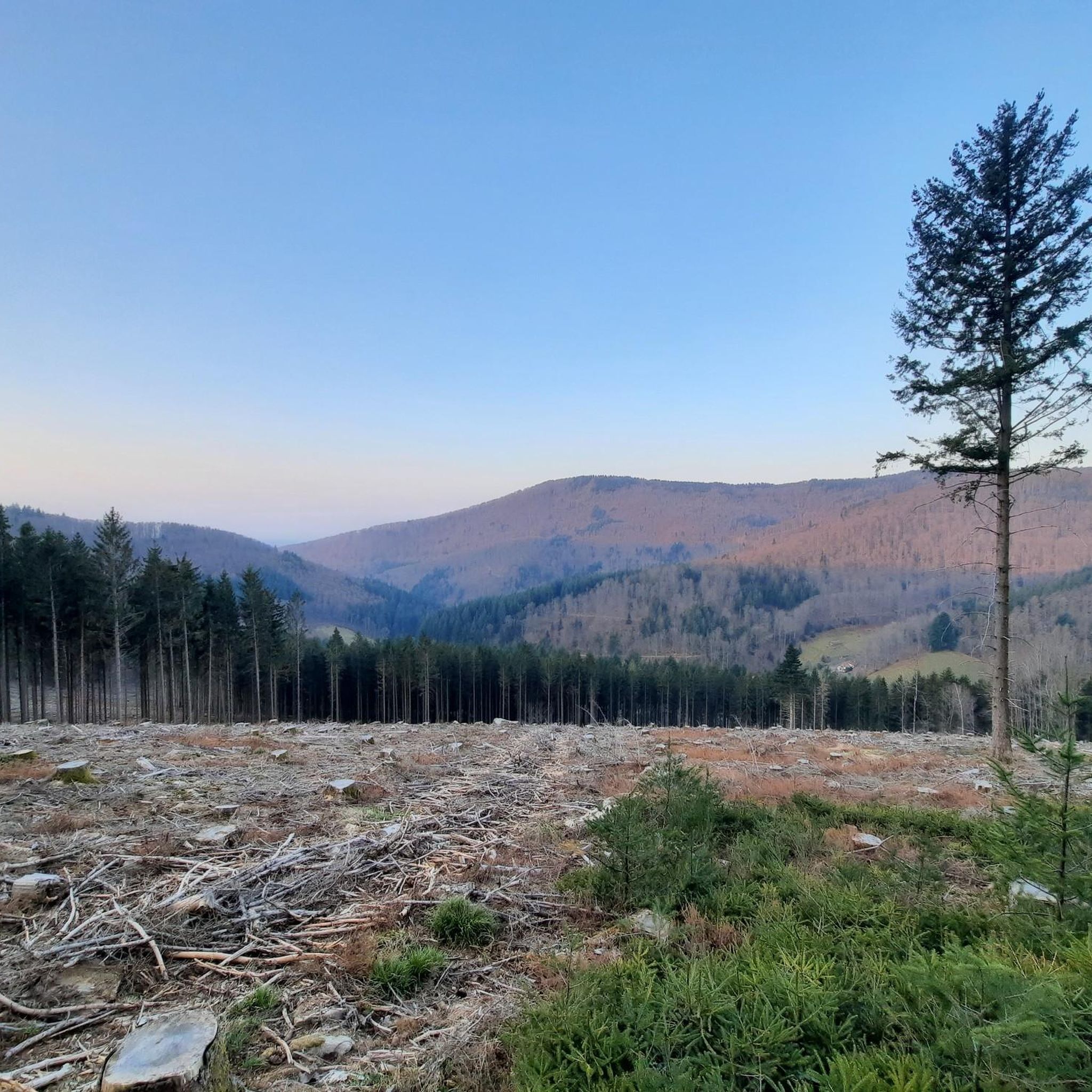
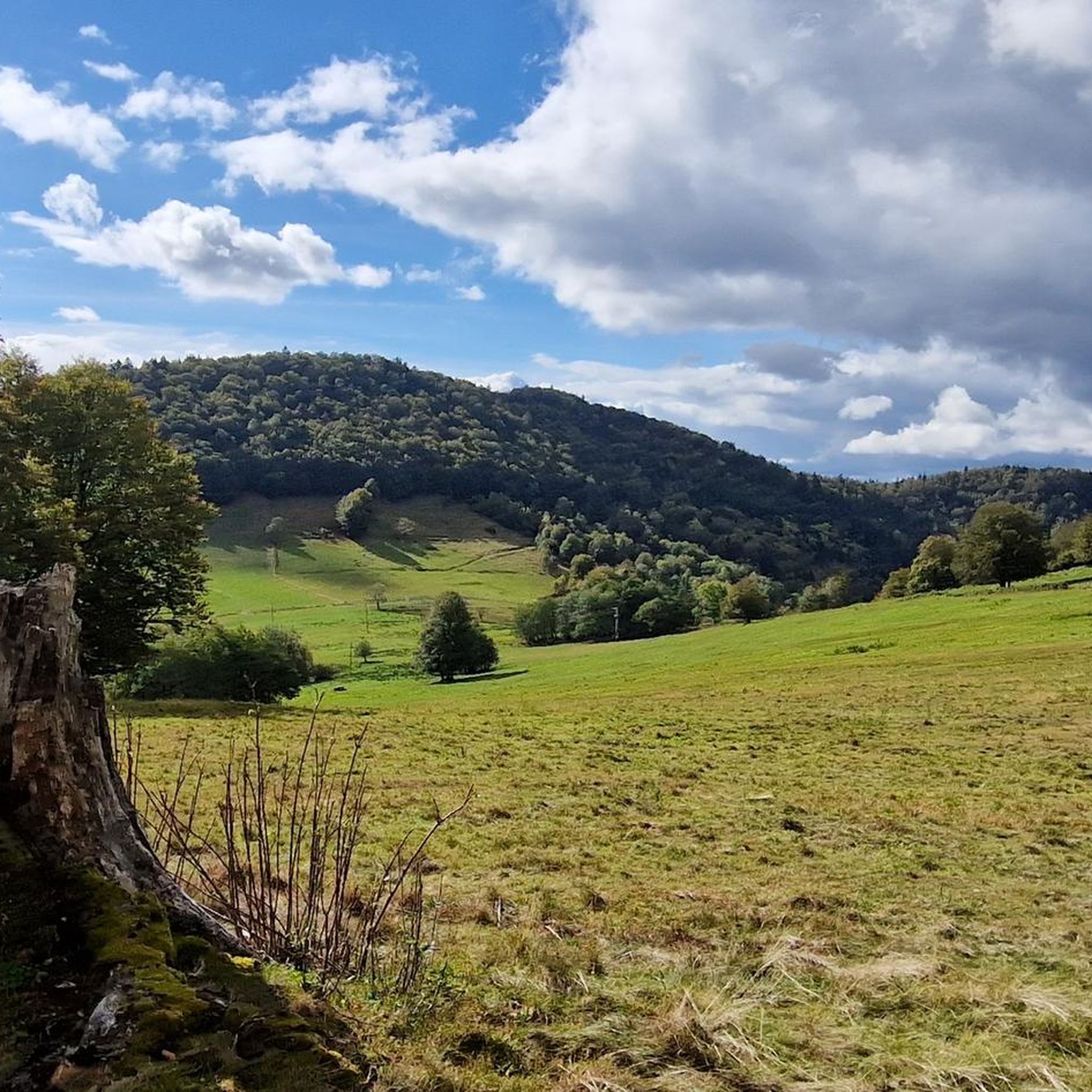

Tips from the Community


the best blueberry pies with the option to charge bikes
0
0

Ferme Auberge Gsang: great view, good food
0
0

Like other lakes, below the Tête des Perche. On the other hand, the signage, at the Col des Perche: could do better!! For the Tête des Perche or the Lac D'Alfeld... So, for the Lac D'Alfeld: follow Ballon d'Alsace until an intersection on the left. I lost an hour: returned at night!
2
0

It's superb but as always in this kind of place avoid busy times if possible.
0
0

It is a beautiful walk with an incline to the summit, which is worth it just for the view all the way to the Alps - if the weather plays along!
3
1

Great selection of cakes, but you don't always get a seat 🙁.
0
0

A legendary pass of the Tour de France to do!
0
0
Frequently Asked Questions
How many mountain bike trails are available in Lamadeleine-Val-Des-Anges?
There are over 140 mountain bike trails around Lamadeleine-Val-Des-Anges. These routes offer a diverse range of experiences, from easier rides to very challenging technical trails.
What is the overall difficulty level of mountain biking in Lamadeleine-Val-Des-Anges?
The trails in Lamadeleine-Val-Des-Anges cater to a wide range of skill levels. While there are 10 easy routes and 51 moderate routes, the majority (86) are classified as difficult. The region's terrain includes technical elements like jumps, drops, and rock gardens, with some trails rated up to S6, requiring advanced skills and fitness.
Are there easy mountain bike trails suitable for beginners or families?
Yes, there are 10 easy mountain bike trails in the area, which are suitable for beginners or families looking for a less strenuous ride. These routes typically feature smoother terrain and less significant elevation changes.
What kind of terrain and natural features can I expect on the mountain bike trails?
You can expect a hilly and mountainous environment with elevations ranging from 537 to 1,075 meters. The trails traverse varied terrain, including prominent mountain peaks and passes, offering scenic views. The region also features natural attractions like lakes and waterfalls.
Are there any circular mountain bike routes in the area?
Yes, many routes in the region are circular. For example, the Roche Marchal (1022m) – Singletrack loop from Sewen is a challenging 48.4 km loop with over 1,100 meters of ascent. Another option is the Ballon d'Alsace – Ballon d'Alsace loop from Niederbruck, a 51 km difficult route with significant elevation gain.
Is Lamadeleine-Val-Des-Anges suitable for electric mountain bikes (E-MTBs)?
Yes, the region is accommodating for electric mountain bikes (E-MTBs). This makes many of the mountain trails more accessible to a wider range of visitors, allowing you to tackle the significant elevation gains with assistance.
What can I see along the mountain bike trails in terms of natural attractions?
The trails often pass by beautiful natural attractions. You might encounter stunning mountain passes like Ballon d'Alsace or Hundsruck Pass. There are also several picturesque lakes in the vicinity, such as Lake Alfeld and Lac des Perches (Star Lake).
What do other mountain bikers enjoy the most about mountain biking in Lamadeleine-Val-Des-Anges?
The area is highly rated by the komoot community, with an average score of 4.3 stars from over 250 reviews. Reviewers often praise the varied terrain, the challenging climbs, and the scenic views from mountain peaks and passes.
Are there any specific trails known for significant elevation gain?
Yes, many trails feature significant elevation gains. For instance, the Ferme Auberge Le Lochberg – Baerenkopf loop from Petitmagny includes over 1,100 meters of ascent. Another challenging option is the Baerenkopf – View from Roche Marchale loop from Riervescemont, which has over 1,300 meters of elevation gain.
What is the best time of year for mountain biking in Lamadeleine-Val-Des-Anges?
The region is generally best explored during spring, summer, and early autumn when the weather is milder and trails are clear of snow. Always check local weather conditions before heading out, especially at higher elevations.
Are there any specific technical features on the trails for experienced riders?
Yes, for experienced riders seeking a challenge, some trails in the broader Belfort region feature technical elements such as jumps, drops, rock faces, gap jumps, ladder bridges, and rock gardens. These elements contribute to the S3-S6 difficulty ratings found on some routes.
Most popular routes around Lamadeleine-Val-Des-Anges
Most popular attractions around Lamadeleine-Val-Des-Anges

Get inspired with the komoot mobile app


Explore more
Browse the best MTB trails in other regions.
