The best walks and hikes around Lamadeleine-Val-Des-Anges
4.6
(2355)
14,620
hikers
398
hikes
Hiking around Lamadeleine-Val-Des-Anges offers access to the Southern Vosges mountains in northeastern France. The region is characterized by mountainous terrain, including the Baerenkopf Summit at 1,074 meters, and numerous mountain passes. Trails traverse extensive forests and valleys, situated within a designated Natura 2000 site, highlighting the area's ecological significance.
Best hiking trails around Lamadeleine-Val-Des-Anges
- The most popular hiking route is Lochberg Pass (920 m) – Lac du Lachtelweier loop from Source de la Doller, a 5.4 miles (8.8 km)…
Last updated: June 27, 2026
4.8
(5)
20
hikers
8.73km
02:48
360m
370m
Moderate hike. Good fitness required. Easily-accessible paths. Suitable for all skill levels.
4.8
(4)
23
hikers
8.51km
02:41
330m
340m
Moderate hike. Good fitness required. Easily-accessible paths. Suitable for all skill levels.

Sign up for free
5.0
(1)
25
hikers
3.29km
00:59
100m
100m
Easy hike. Great for any fitness level. Easily-accessible paths. Suitable for all skill levels.
4.0
(3)
28
hikers
10.1km
03:33
510m
510m
Hard hike. Good fitness required. Sure-footedness, sturdy shoes and alpine experience required.
4.5
(2)
20
hikers
Easy hike. Great for any fitness level. Easily-accessible paths. Suitable for all skill levels.
Get access to more routes and recommendations from other explorers.
Sign up for free
Already have an account?
Our route recommendations are based on thousands of hikes, rides, and runs completed by other people on komoot.
Start today with a free account
Your next adventure awaits.
Login or Signup
Popular around Lamadeleine-Val-Des-Anges

Tips from the Community


the best blueberry pies with the option to charge bikes
0
0

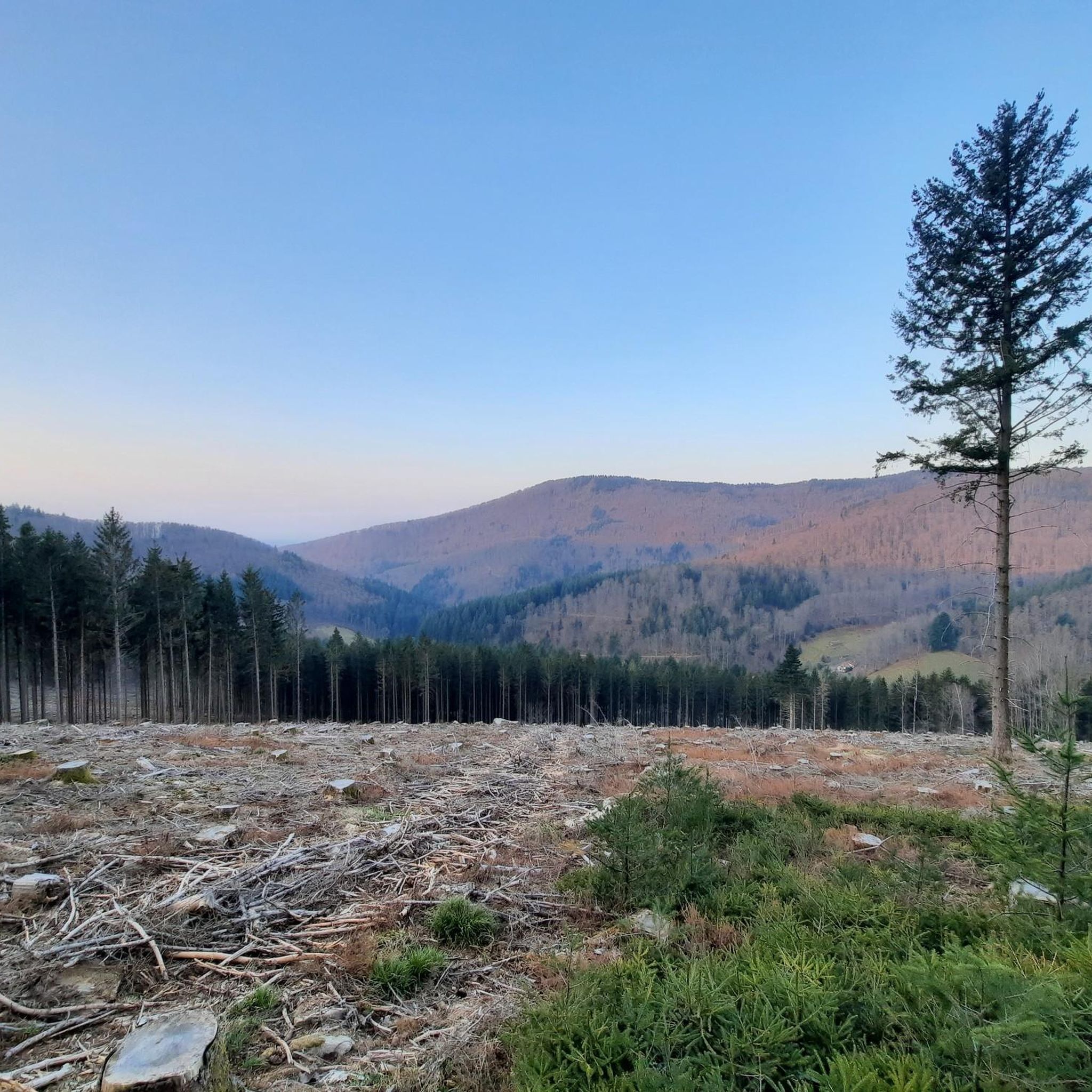
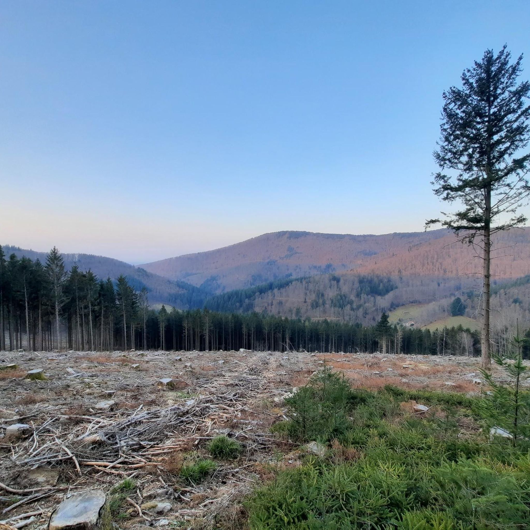
excellent at the end of the day... just before nightfall. The birds are whistling... the forest is still in 'winter' mode but spring is coming.
0
0

Ferme-Inn open on weekends from 11 a.m., drinks and traditional meals served in the dining room and terrace.
1
0
Pass on the border between Haut-Rhin and the Territoire de Belfort.
0
0

It is not at this place this farm inn, there is no inn on the way up to the 7 paths pass.
0
0

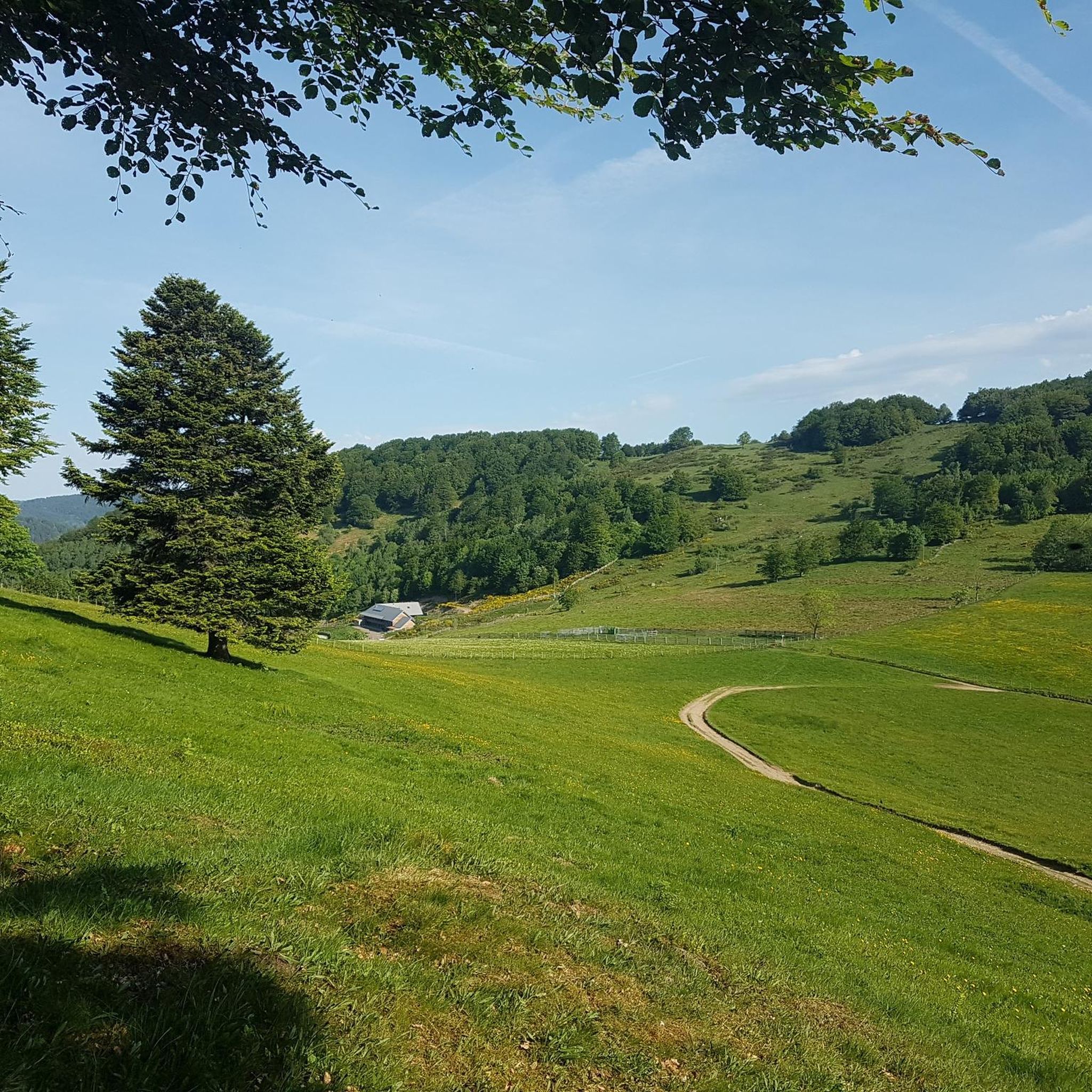
Magnificent farmhouse very welcoming with a resplendent view.
1
0

Frequently Asked Questions
How many hiking trails are available in Lamadeleine-Val-Des-Anges?
There are over 380 hiking routes available around Lamadeleine-Val-Des-Anges, offering a wide range of options for different skill levels and preferences. The komoot community has explored these trails over 14,000 times.
What kind of terrain can I expect when hiking in Lamadeleine-Val-Des-Anges?
Hiking in Lamadeleine-Val-Des-Anges primarily involves mountainous terrain within the Southern Vosges mountains. You'll encounter dense forests, scenic valleys, and significant elevation changes, especially on routes leading to peaks like Baerenkopf. The area is also part of a Natura 2000 site, ensuring well-preserved natural environments.
Are there any easy hiking routes suitable for beginners or families?
Yes, Lamadeleine-Val-Des-Anges offers nearly 100 easy hiking routes. A good option for a shorter, less strenuous walk is the Ferme-Auberge du Bruckenwald loop from Source de la Doller, which is an easy 3.3 km path through forested terrain. Another easy choice is the Source of the Doller – Ferme Auberge Le Lochberg loop from Source de la Doller.
What is the best time of year to go hiking in Lamadeleine-Val-Des-Anges?
The best time for hiking in Lamadeleine-Val-Des-Anges is generally from spring through autumn, when the weather is mild and the trails are clear. Summer offers lush greenery, while autumn provides beautiful fall foliage. Winter hiking is possible but requires appropriate gear due to snow and colder temperatures in the mountainous areas.
Are there any notable landmarks or viewpoints along the hiking trails?
Yes, the region offers several notable landmarks and viewpoints. The Baerenkopf Summit (1,075 m) provides remarkable panoramic views. You can also explore historical sites like the Chapelle Sainte-Madeleine, a 16th-century chapel with a mining legacy. Nearby peaks like Ballon d'Alsace and La Planche des Belles Filles also offer stunning vistas.
Can I spot any wildlife while hiking in the area?
As Lamadeleine-Val-Des-Anges is located within a Natura 2000 site, it's recognized for its rich biodiversity. While specific sightings are never guaranteed, hikers have a good chance of encountering various bird species, deer, and other forest animals in their natural habitat, especially in quieter areas and during dawn or dusk.
Are there any mountain passes I can explore on a hike?
The area is characterized by several mountain passes that are integral to many hiking routes. Notable passes include the Col des sept chemins (741 m) and the Col du Lochberg (979 m). A challenging route that takes you through these features is the Lochberg Pass (920 m) – Col des 7 Chemins Shelter loop from Riervescemont.
Is parking available near the trailheads in Lamadeleine-Val-Des-Anges?
Parking is generally available at common starting points for popular trails, such as near the Source de la Doller or in the village of Lamadeleine-Val-Des-Anges itself. It's advisable to check specific route descriptions on komoot for detailed parking information for individual trailheads.
Are there any circular hiking routes in Lamadeleine-Val-Des-Anges?
Yes, many of the hiking routes in Lamadeleine-Val-Des-Anges are designed as loops, allowing you to start and end at the same point. An example of a moderate circular route is the Lochberg Pass (920 m) – Lac du Lachtelweier loop from Source de la Doller, which covers 6 km.
What do other hikers enjoy the most about hiking in Lamadeleine-Val-Des-Anges?
The area is highly rated by the komoot community, with an average score of 4.6 stars from over 2,200 reviews. Hikers often praise the diverse terrain, from challenging mountain ascents to peaceful forest walks, and the stunning panoramic views from peaks like Baerenkopf. The well-preserved natural environment within the Natura 2000 site is also frequently highlighted.
Are dogs allowed on the hiking trails in Lamadeleine-Val-Des-Anges?
Most hiking trails in the Lamadeleine-Val-Des-Anges region are dog-friendly, allowing you to enjoy the outdoors with your canine companion. However, it's always recommended to keep dogs on a leash, especially in areas with wildlife or near livestock, and to check for any specific local regulations or protected areas.
Most popular routes around Lamadeleine-Val-Des-Anges
Most popular attractions around Lamadeleine-Val-Des-Anges

Get inspired with the komoot mobile app


Explore more
Browse the best Hikes in other regions.
