The best gravel rides around Monêtier-Allemont
4.2
(4)
15
riders
1
ride
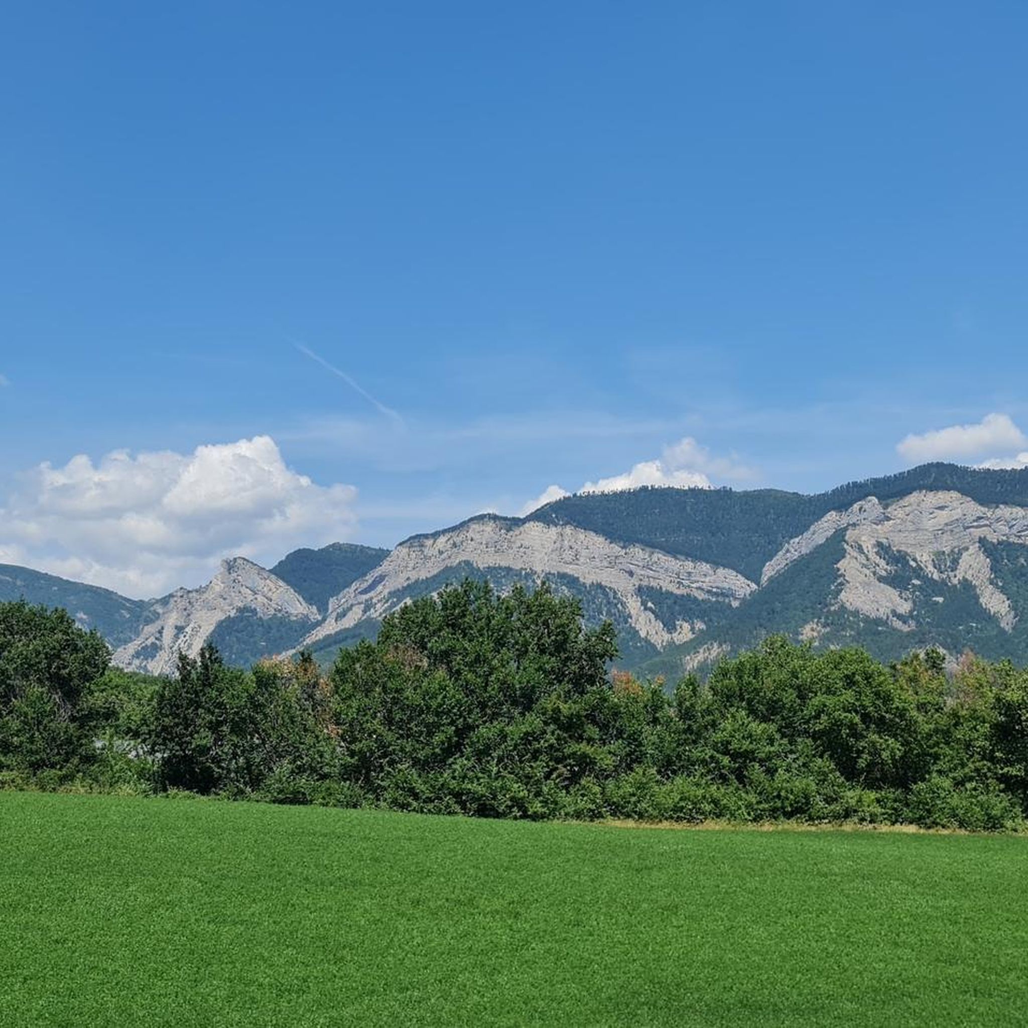
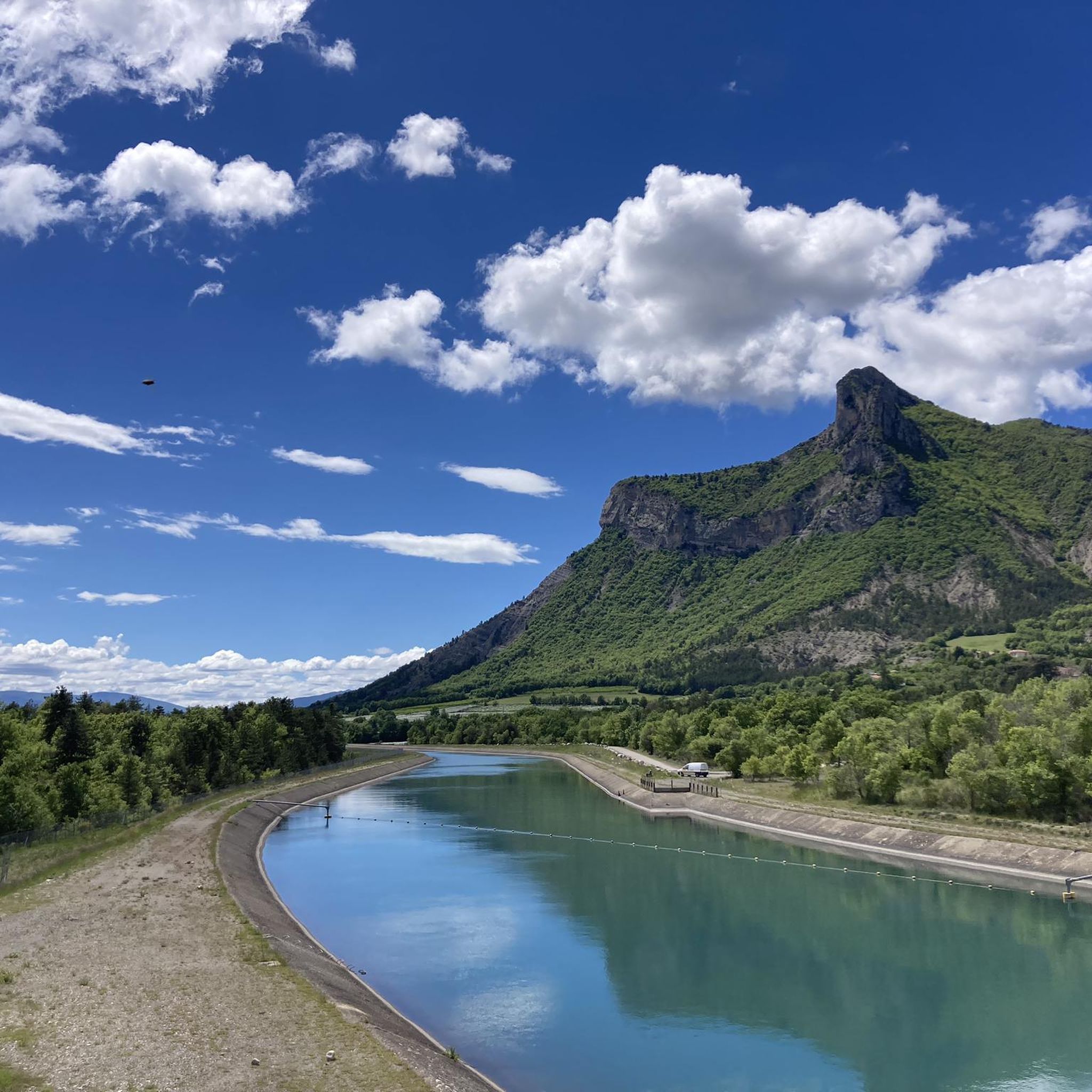
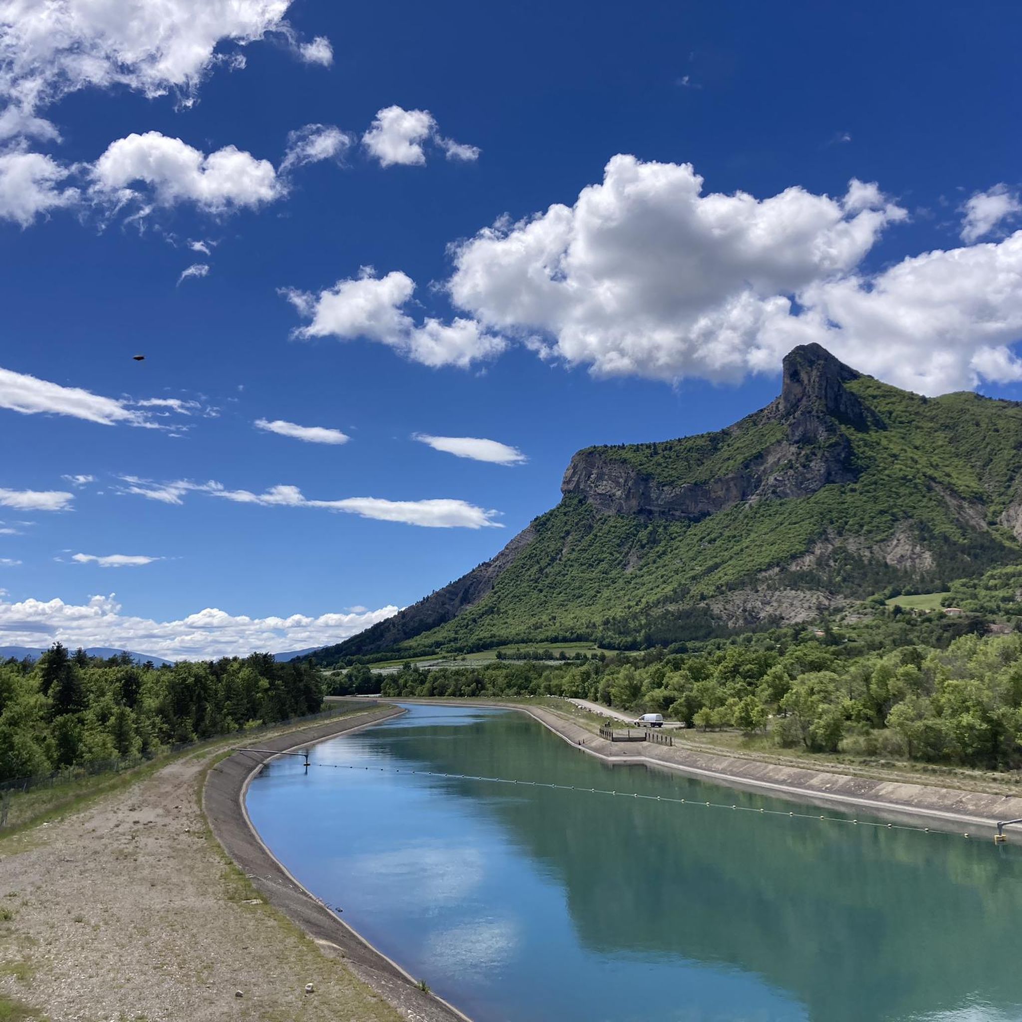
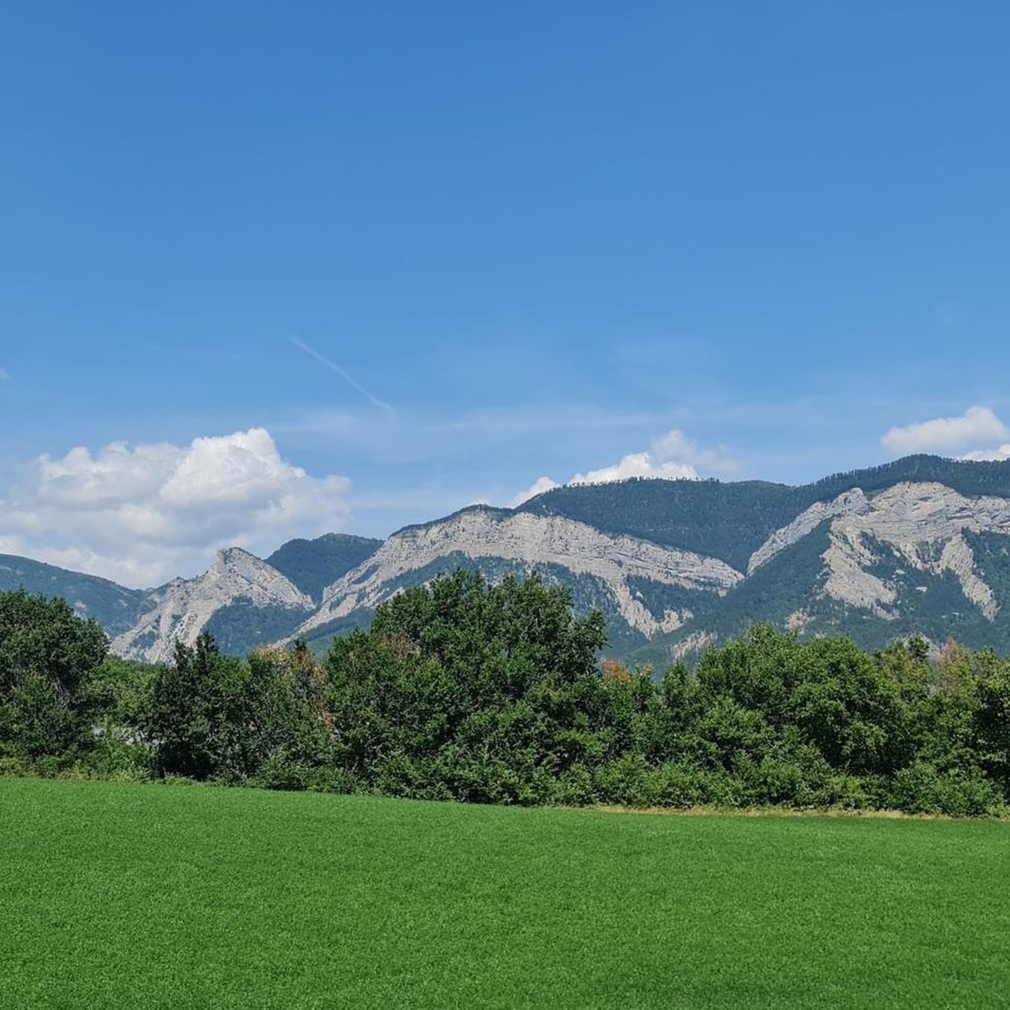
Gravel biking around Monêtier-Allemont offers routes through varied terrain in the Hautes-Alpes region, situated between the Southern French Alps and Provence. The landscape features wild valleys, mid-mountains, and the Durance valley, which includes cultivated orchards and canals. Notable natural features include the Durance river and the Pic de Crigne, a 1263-meter summit providing panoramic views. This area provides diverse conditions for gravel cycling, from river paths to climbs in the Southern French Alps.
Best gravel bike trails around Monêtier-Allemont
- The…
Last updated: July 5, 2026
4.0
(1)
9
riders
42.4km
03:19
1,130m
1,130m
Hard gravel ride. Very good fitness required. Mostly paved surfaces. Suitable for all skill levels.
4.5
(2)
2
riders
14.5km
01:08
370m
370m
Moderate gravel ride. Good fitness required. Mostly paved surfaces. Suitable for all skill levels.

Sign up for free
4.0
(1)
3
riders
74.8km
06:26
1,930m
1,930m
Hard gravel ride. Very good fitness required. Mostly paved surfaces. Suitable for all skill levels.
1
riders
41.8km
03:03
880m
880m
Hard gravel ride. Very good fitness required. Mostly paved surfaces. Suitable for all skill levels.
Our route recommendations are based on thousands of hikes, rides, and runs completed by other people on komoot.
Start today with a free account
Your next adventure awaits.
Login or Signup
Tips from the Community

The Col de Verniers via Châteauneuf d'Oze is a climb located in the Hautes-Alpes region. This climb is 2.4 km long, with a total elevation gain of 124 m. The Col de Verniers via Châteauneuf d'Oze has an average gradient of 5.1%.
17
0
The Col d'Espreaux is a climb located in the Hautes-Alpes region. This climb is 12.2 km long, with a total elevation gain of 585 m. The Col d'Espreaux has an average gradient of 4.8%.
16
0
The water here is very good and fresh.
15
0
You can safely drink the water here.
10
0
The Col de Foureyssasse from La Saulce is a climb located in the Hautes-Alpes region. This climb is 7 km long, with a total elevation gain of 461 m. The Col de Foureyssasse from La Saulce has an average gradient of 6.6%.
9
0
The Col de Faye is a mountain pass in the Southern Alps, located in the department of Hautes-Alpes at an altitude of approximately 922 to 924 meters. It connects the Buëch valley to the Durance valley — between the municipalities of Savournon and Ventavon — via the departmental road D21.
15
0
Savournon is a small rural commune in southeastern France, located in the department of Hautes-Alpes, in the Provence-Alpes-Côte d'Azur region. It lies in a transition zone between the Alps and the gentler territory of the Buëch valley, creating a landscape of strong contrasts characterized by hills, fields, and wooded areas.
12
0
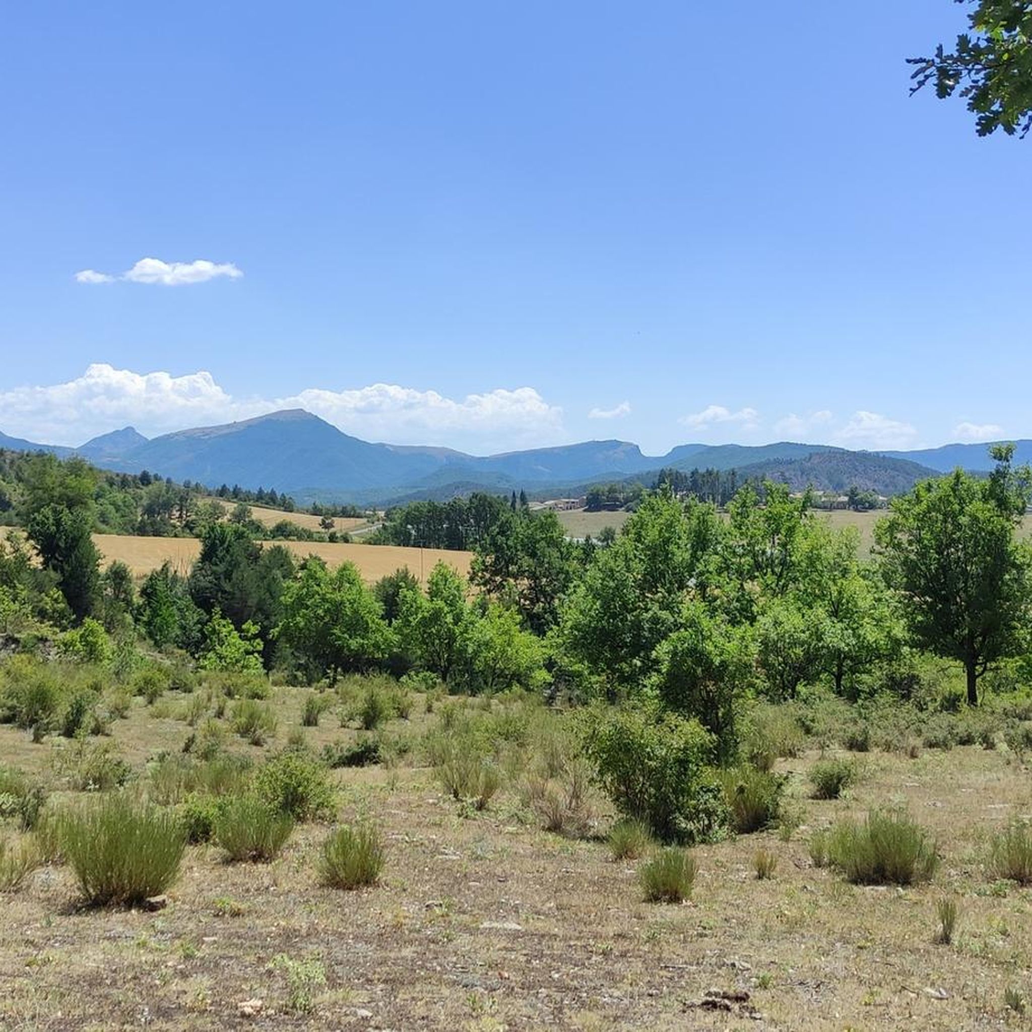
Here you can enjoy a wonderful view.
12
0
Frequently Asked Questions
What kind of terrain can I expect on gravel bike trails around Monêtier-Allemont?
The region offers a diverse mix of terrain, from wild valleys and mid-mountain paths to scenic routes along the Durance river. You'll find cultivated orchards, canals, and opportunities for both moderate rides and more challenging climbs in the Southern French Alps.
Are there gravel bike routes suitable for beginners or those looking for an easier ride?
While some routes feature significant elevation, there are options for varying skill levels. For a moderate experience that combines natural beauty with engineered landscapes, consider the Pic de Crigne – EDF Canal Cycle Path loop from Fouillouse, which offers views of Pic de Crigne and sections along the EDF Canal.
What are some of the more challenging gravel bike routes in the area?
For experienced riders seeking a challenge, the region offers routes with substantial elevation gain. The Espréaux Pass – Guérins Pass loop from Sigoyer is a difficult 26.3-mile trail that takes you through mountain passes, providing a demanding ride.
Are there any circular gravel bike routes around Monêtier-Allemont?
Yes, many of the gravel bike routes in the area are designed as loops, allowing you to start and finish in the same location. Examples include the Under the Cliffs of Céüse – Guérins Pass loop from Col des Guérins, which is a moderate 9.0-mile trail through mountain passes and near cliff formations.
What natural features or landmarks can I see along the gravel bike trails?
You can explore a variety of natural and historical points of interest. Routes often pass by the Durance river, known for its biodiversity, and offer views of the Pic de Crigne. You might also encounter mountain passes like Espréaux Pass or Faye Pass, and even historical sites such as Clausonne Abbey.
What do other gravel bikers say about the trails in Monêtier-Allemont?
The gravel biking routes in Monêtier-Allemont are highly rated by the komoot community, with an average score of 4.1 stars from over 5 reviews. Users often appreciate the varied terrain, from river paths to mountain climbs, and the opportunities to explore the wild valleys and mid-mountain landscapes.
Is Monêtier-Allemont a good base for other outdoor activities besides gravel biking?
Absolutely. Monêtier-Allemont is an excellent hub for outdoor enthusiasts. Beyond cycling, you can enjoy hiking, climbing, and various water sports on the Durance river and local lakes like rafting or canoeing. Horse riding and paragliding are also popular, and the area is close to the Écrins National Park for extensive exploration.
Are there any routes that pass by lakes or water bodies?
Yes, the Hautes-Alpes region is known for its numerous lakes. While not directly in Monêtier-Allemont, routes in the broader area, such as the Lake Pelleautier – Pelleautier Lake loop from Sigoyer, can take you past beautiful water bodies. The Durance river itself is a prominent feature along many trails.
What is the best time of year for gravel biking in Monêtier-Allemont?
The region, part of the Southern French Alps, benefits from sunny paths, making it suitable for gravel biking across much of the year. Spring and autumn generally offer pleasant temperatures and vibrant landscapes. Summers are also popular, though some higher passes might be more challenging in peak heat. Winter can bring snow to higher elevations, limiting access to certain routes.
Are there any long-distance gravel routes or multi-day options?
While specific multi-day gravel routes are not detailed, the region's extensive network of paths and its connection to routes like the Véloroute (V862) along the Durance river, and the 'Entre Buëch et Durance' route, suggest potential for combining trails for longer adventures. The Faye Pass – Riou Gorges loop from Ventavon is a challenging 42.5 km route that could be part of a longer itinerary.
Is it possible to access the gravel trails using public transport?
Monêtier-Allemont is situated in the Hautes-Alpes, and while specific public transport links directly to trailheads might vary, the region is generally accessible. Checking local bus services or regional trains connecting to nearby towns like Gap or Sisteron, and then potentially cycling to the starting points, would be the best approach. Planning ahead is recommended.
Where can I find parking for gravel biking in Monêtier-Allemont?
Parking availability will depend on your chosen starting point. Many villages and towns in the area, including Monêtier-Allemont itself and nearby communities like Sigoyer or Fouillouse (starting points for some popular routes), typically offer public parking facilities. It's advisable to check specific village information or komoot tour details for designated parking areas near trailheads.
Most popular routes around Monêtier-Allemont
Most popular attractions around Monêtier-Allemont

Get inspired with the komoot mobile app


Explore more
Browse the best Gravel rides in other regions.
