The best cycling routes in Joseph D. Grant County Park
4.8
(40)
582
riders
16
rides
Touring cycling routes in Joseph D. Grant County Park traverse a landscape characterized by rolling hills, expansive grasslands, and oak woodlands within the Diablo Range foothills. The park's terrain, shaped by the Calaveras Fault, features elevations ranging from 1,400 feet in Halls Valley to nearly 3,000 feet on its eastern edge. An extensive network of fire roads and trails, totaling over 50 miles, provides varied terrain suitable for touring cyclists. These routes offer significant elevation changes, providing challenging climbs and…
Last updated: May 29, 2026
5.0
(2)
18
riders
Hard bike ride. Very good fitness required. Mostly paved surfaces. Suitable for all skill levels.
9
riders
18.8km
01:41
540m
540m
Hard bike ride. Very good fitness required. Mostly paved surfaces. Suitable for all skill levels.

Sign up for free
5
riders
15.9km
01:46
480m
480m
Hard bike ride. Very good fitness required. Mostly paved surfaces. Suitable for all skill levels.
4.0
(4)
13
riders
73.8km
04:26
350m
350m
Moderate bike ride. Good fitness required. Mostly paved surfaces. Suitable for all skill levels.
4.7
(13)
75
riders
63.6km
04:07
660m
660m
Hard bike ride. Very good fitness required. Mostly paved surfaces. Suitable for all skill levels.
Get access to more routes and recommendations from other explorers.
Sign up for free
Already have an account?
Our route recommendations are based on thousands of hikes, rides, and runs completed by other people on komoot.
Start today with a free account
Your next adventure awaits.
Login or Signup
Tips from the Community

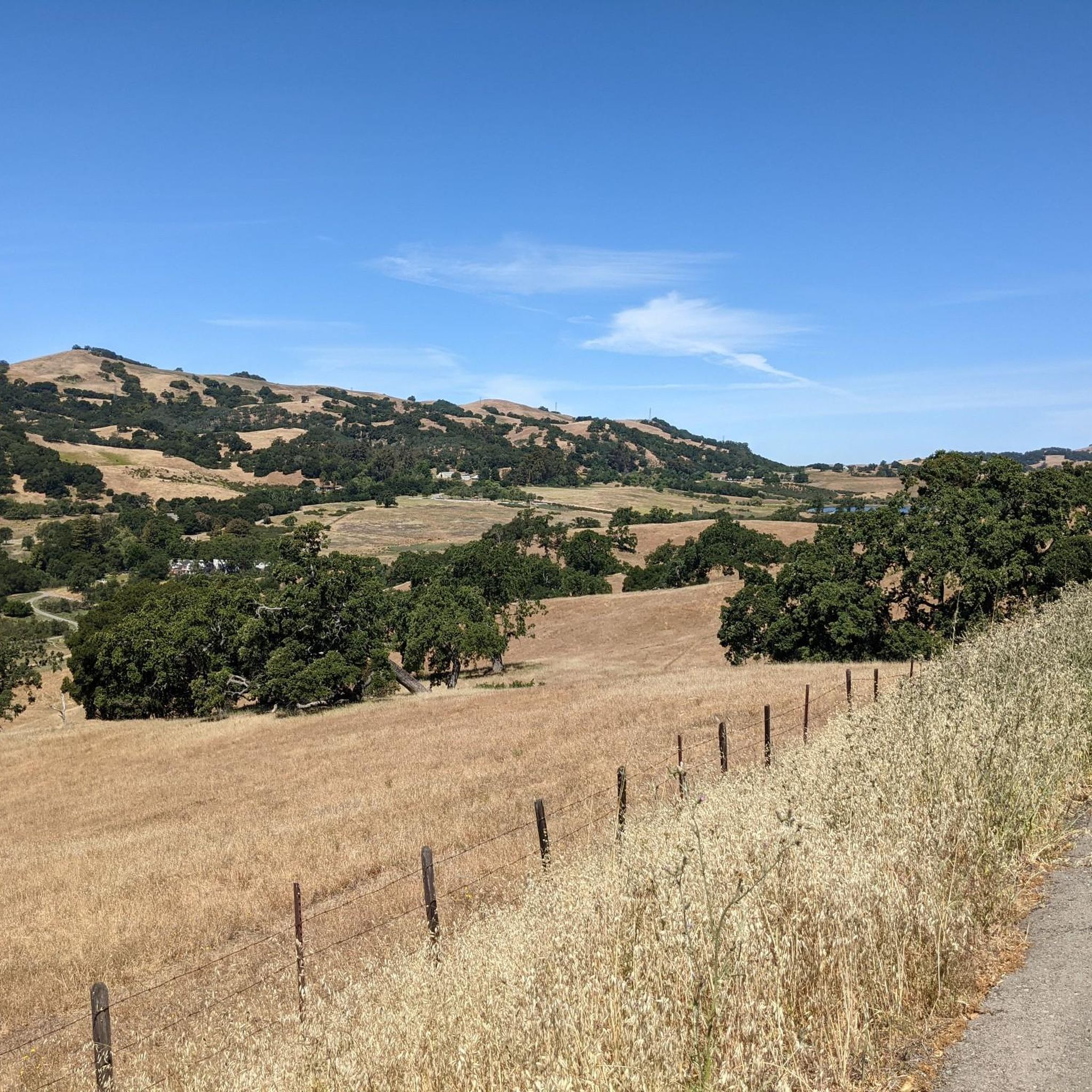
The trail starts on the eastern shore of Grant Lake: at the junction with Bernal Trail, it heads off to the east. At about 0.5 miles along the trail, you'll reach a junction with Los Huecos Trail which heads right, stay left on Halls Valley Trail. The trail begins to climb an easy to moderate grade as it ascends the north side of the drainage. At 2.7 miles, Halls Valley Trail trail ends at the junction with Canada de Pala Trail. https://parks.santaclaracounty.gov/learn/visit-historic-sites/grant-ranch-house-complex
0
0


Here, you can buy fresh fruit, including prunes, pears, apricots, and cherries, depending on the season.
0
0

at nearly 19 miles the Coyote Creek Trail is one of the longest trail systems in San Jose. This is a popular multi-use trail and some sections can get crowded so be courteous to your fellow trail users and give when whare possible.
1
0

The Coyote Creek Trail passes through the heart of Coyote Ranch, which is lined with open pastures and hillsides. There are also a couple small reservoirs on the property that you get to walk by during your hike.
0
0

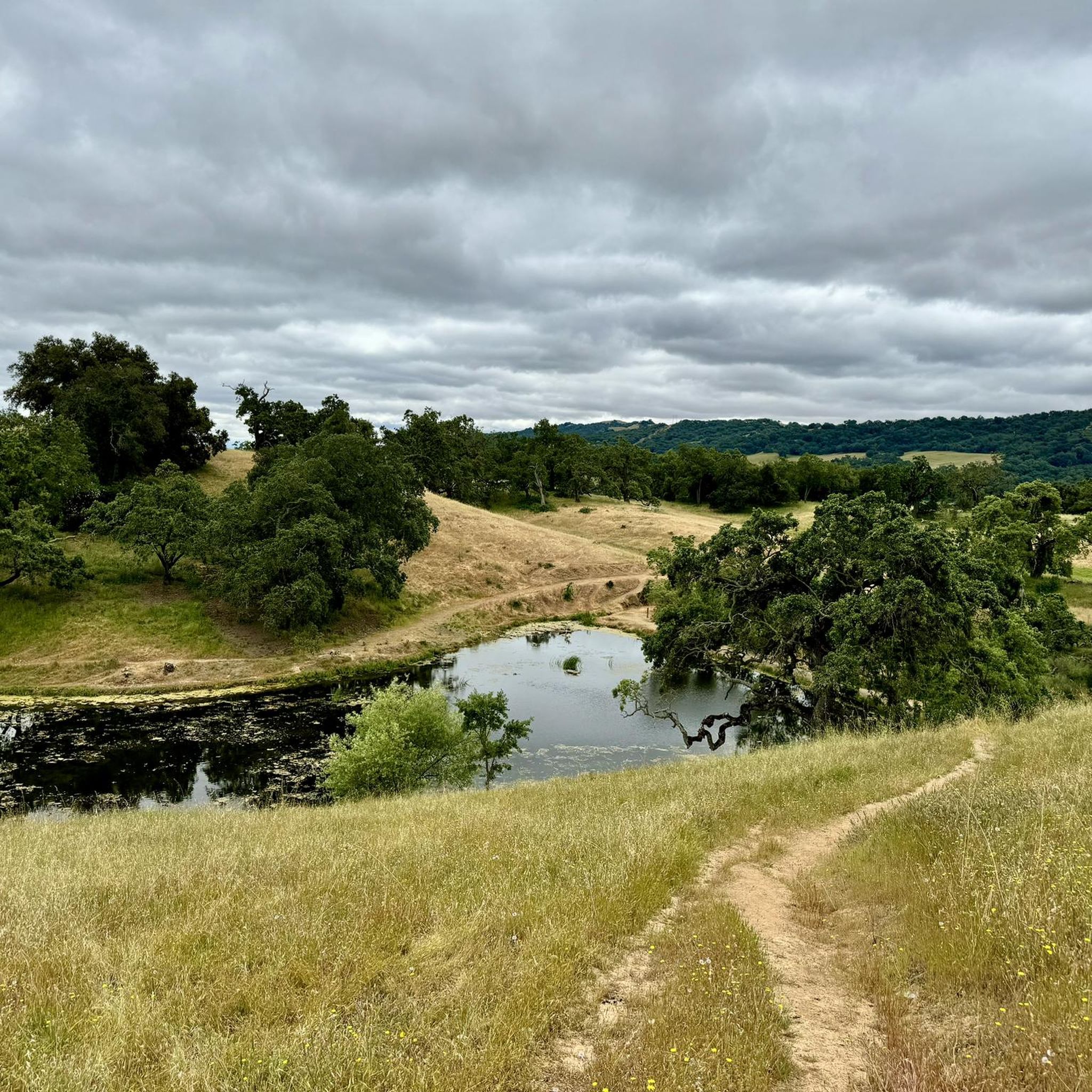
The pond is nestled within the larger Coyote Creek Parkway, providing access to miles of trails for running, biking, or hiking. You can explore further along Coyote Creek and discover more scenic spots.
0
0

The Coyote Creek Trail, also called the Bay Area Ridge Trail, is a stunningly paved multi-use path that slowly transitions to gravel. The trail winds in between a number of ponds and has a little more shade at the turnaround loop.
0
0
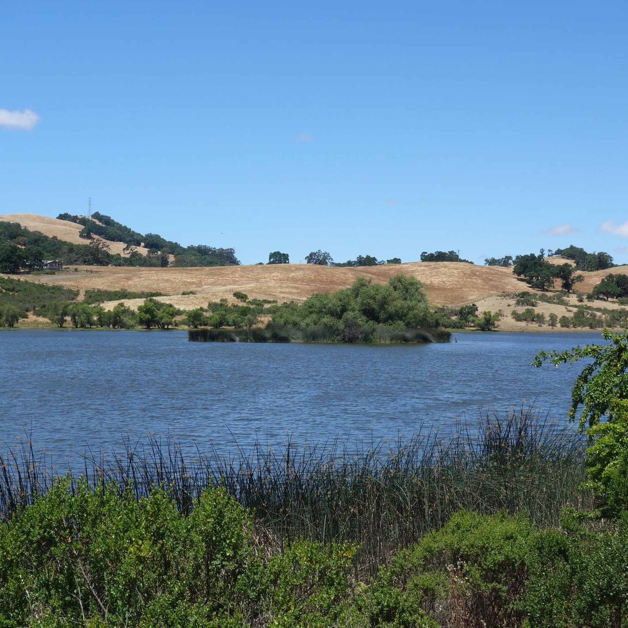
Grant Lake is a large body of water located in Joseph D. Grant County Park. This 10,882 acre park is home to a variety of topography, rich natural resources, and of course this stunning lake that adds to the overall beauty.
0
0
Frequently Asked Questions
How many touring cycling routes are available in Joseph D. Grant County Park?
Joseph D. Grant County Park offers a diverse network of over 15 touring cycling routes. These routes vary in difficulty, with 2 easy, 4 moderate, and 9 difficult options, providing choices for different skill levels.
What kind of terrain will I encounter on touring cycling routes in Joseph D. Grant County Park?
The park's terrain is characterized by rolling hills, expansive grasslands, and majestic oak woodlands within the Diablo Range foothills. You'll primarily ride on an extensive network of fire roads and trails, which are suitable for touring or gravel bikes. Expect significant elevation changes and long, sustained climbs, offering a challenging experience.
Are there any family-friendly touring cycling routes in Joseph D. Grant County Park?
While many routes in Joseph D. Grant County Park feature significant elevation changes and are rated difficult, there are a couple of easier options available. For families looking for a less strenuous ride, it's advisable to check the difficulty ratings and elevation profiles of routes before heading out. The park's wide dirt roads can be suitable for children with some cycling experience, but shade can be scarce, so plan accordingly.
What natural features and landmarks can I see while cycling in Joseph D. Grant County Park?
As you cycle through the park, you'll experience diverse natural features including oak woodlands, expansive grasslands, and views of Halls Valley. Notable landmarks and points of interest include McCreery Lake and Bass Lake. You can also find the Grant Ranch and Rosegarden, a historical site within the park. The Mt. Hamilton Climb West, though partially outside the park, is a prominent feature offering spectacular views.
What is the best time of year to go touring cycling in Joseph D. Grant County Park?
Spring is an excellent time to visit Joseph D. Grant County Park for touring cycling, as you can witness vibrant wildflower displays and flowing waters. The oak woodlands are lush, and wildlife is active. However, shade can be scarce on many trails, especially during hotter days, so planning for water and sun protection is advisable regardless of the season.
What do other touring cyclists enjoy most about cycling in Joseph D. Grant County Park?
The touring cycling routes in Joseph D. Grant County Park are highly rated by the komoot community, with an average score of 4.8 stars from over 30 reviews. Cyclists often praise the challenging climbs, the panoramic views of the Santa Clara Valley and the Coast Range high peaks, and the immersive experience of riding through rolling hills and oak woodlands.
Are there any routes that offer significant elevation gain for a challenging ride?
Yes, Joseph D. Grant County Park is known for its significant elevation changes, providing a strenuous workout. For example, the Mount Hamilton Observatory 🔭📡 – Mount Hamilton loop from Twin Gates Trailhead features nearly 700 meters of elevation gain over 24.4 km. Another challenging option is the Grant Lake – Mount Hamilton Observatory 🔭📡 loop from Evergreen Valley College, which boasts over 1700 meters of ascent.
Can I find circular touring cycling routes in the park?
Yes, many of the touring cycling routes in Joseph D. Grant County Park are designed as loops, allowing you to start and finish at the same point. Examples include the popular JD Grant Park loop from Joseph D. Grant County Park and the San Felipe Road – San Felipe Road loop from Evergreen Valley College, which winds through the Diablo Range foothills.
Is parking available for touring cyclists at Joseph D. Grant County Park?
Joseph D. Grant County Park offers various access points and parking facilities. While specific parking details for each trailhead are best checked locally, the park is generally accessible by car, and parking areas are available for visitors. It's advisable to check the park's official website for the most current information on parking locations and any associated fees.
What wildlife might I encounter while cycling in the park?
The park's diverse oak-woodland ecosystem supports a rich variety of wildlife. Cyclists might spot over 32 species of birds and 39 species of mammals, including Tule Elk and European wild pigs. Spring is particularly rewarding for active wildlife viewing.
Are there any long-distance touring cycling routes in or around Joseph D. Grant County Park?
For those seeking longer rides, the park and its vicinity offer extended options. The Coyote Ranch – Ogier Ponds Bike Path loop from Evergreen Valley College is a substantial route covering over 63 kilometers, providing a significant distance for touring cyclists to explore the varied landscapes.
Most popular routes in Joseph D. Grant County Park
Most popular attractions in Joseph D. Grant County Park

Get inspired with the komoot mobile app


Explore more
Browse the best Cycling routes in other regions.
