The best road cycling routes in Joseph D. Grant County Park
3.9
(9)
250
riders
12
rides
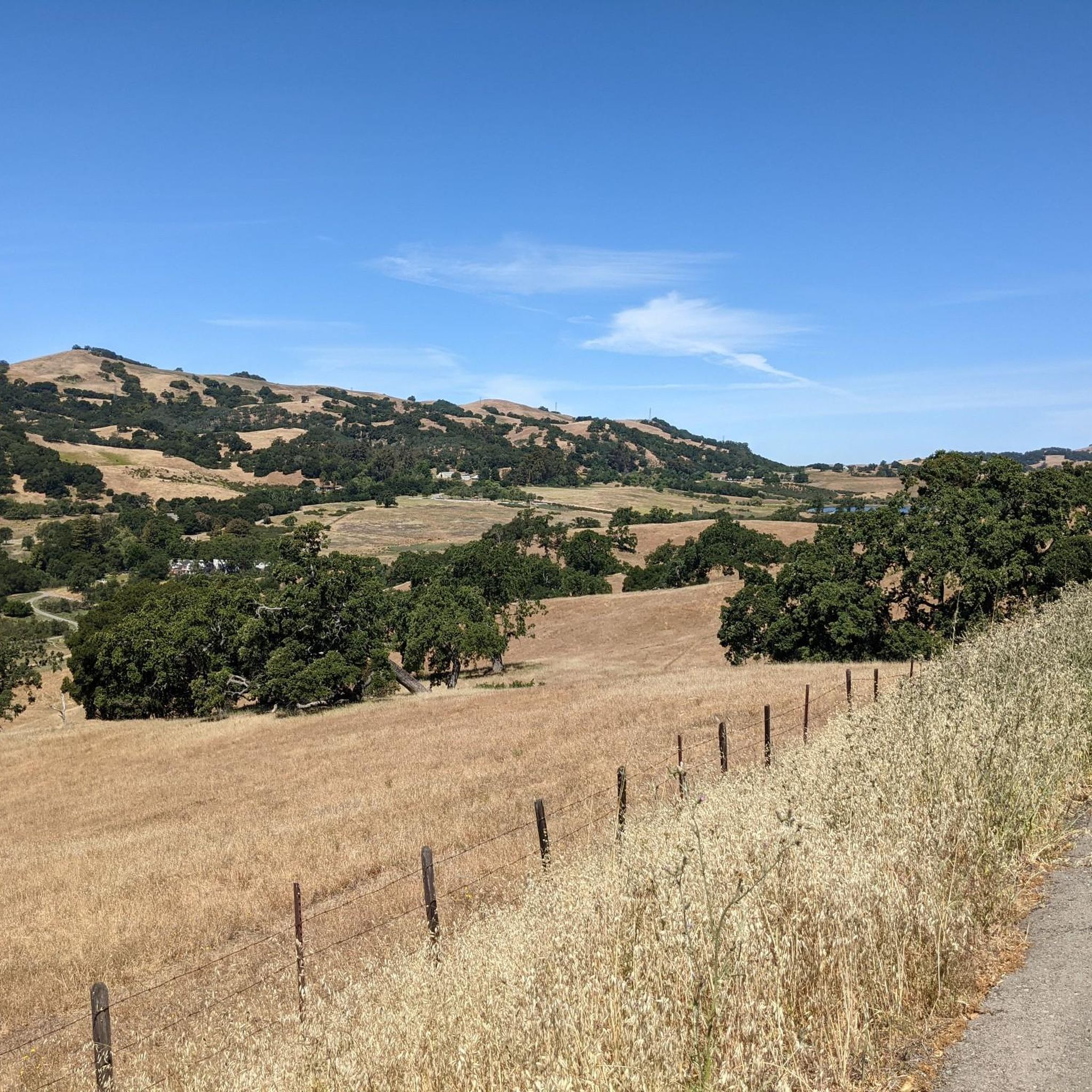
Road cycling in Joseph D. Grant County Park is situated within the Diablo Range of the Coastal Mountains, offering diverse terrain for cyclists. The park features rolling grasslands, oak woodlands, and significant elevation changes, with elevations ranging from 1,400 feet to over 2,985 feet within the park boundaries. This landscape provides access to the Mount Hamilton climb, a notable road cycling challenge with expansive views of the Santa Clara Valley. The area is characterized by its east foothills environment, with…
Last updated: July 15, 2026
5.0
(1)
35
riders
Hard road ride. Very good fitness required. Some segments of this route may be unpaved and difficult to ride.
5.0
(1)
20
riders
37.0km
02:22
940m
940m
Hard road ride. Very good fitness required. Some segments of this route may be unpaved and difficult to ride.

Sign up for free
2.0
(1)
6
riders
Easy road ride. Great for any fitness level. Mostly well-paved surfaces and easy to ride.
9
riders
Moderate road ride. Good fitness required. Mostly well-paved surfaces and easy to ride.
8
riders
22.0km
01:01
270m
270m
Easy road ride. Great for any fitness level. Mostly well-paved surfaces and easy to ride.
Get access to more routes and recommendations from other explorers.
Sign up for free
Already have an account?
Our route recommendations are based on thousands of hikes, rides, and runs completed by other people on komoot.
Start today with a free account
Your next adventure awaits.
Login or Signup
Popular around Joseph D. Grant County Park
Tips from the Community

Once you reach Murillo Avenue, the incline ranges between 9-16 %, while most of Mt Hamilton features inclines between 4% and 6%, with 7-8% on the last 4 miles. If you're not a good climber, I recommend you start your climb to Mt Hamilton from Alumn Rock Ave - Miguelitas Rd
0
0

The Donald Shane telescope is a 3 m reflector to the north-east of the Lick Observatory on Mount Hamilton. The outside areas are open and free to access. For interior visits, check at https://mthamilton.ucolick.org
0
0


Hellyer Park Velodrome is Northern California’s only dedicated bicycle racing facility. Located in a car-free park along Coyote Creek, it’s perfect for cyclists of all levels, from beginners to pros, to train and race.
1
0

Odette Morrow Trail is a nice, flat loop through a well shaded park. On the north side you have a park and picnic tables and grass, with the remainder of the loop being through grassland with freckled trees. The path is paved, so makes for a great spot to do training laps or intervals.
0
0

The Donald Shane telescope is a 3 m reflector to the north-east of the Lick Observatory.
0
0
The Joseph D. Grant County Park is the largest country park in the Santa Clara area of California. Joseph was the wealthy son of a merchant who bought this land after the Mexican land grant. The Santa Clara County purchased the land in 1975 and created the park.
0
0

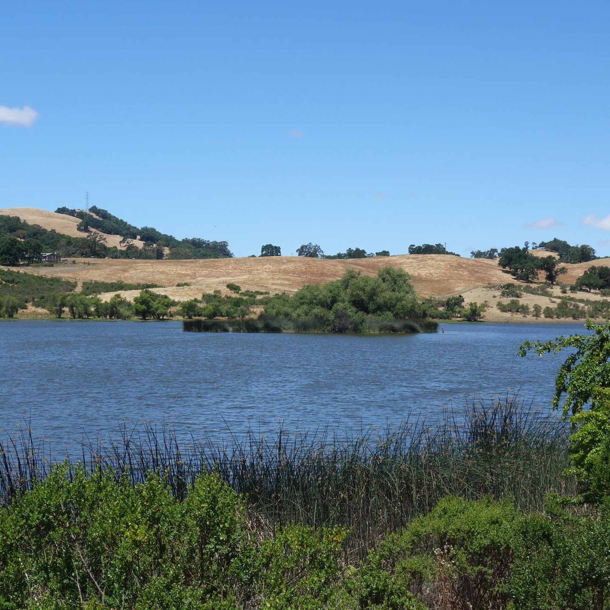
McCreery Lake is a little lake located in the Joseph D. Grant County Park. There are various trails leading along the lake and thanks to the multiple connecting trails in the park, you can shorten or extend your hike at almost any time. The lake is a popular spot to watch turtles and birds.
0
0
Frequently Asked Questions
What kind of terrain can I expect when road cycling in Joseph D. Grant County Park?
Road cycling in Joseph D. Grant County Park offers diverse terrain, characterized by rolling green grasslands and majestic oak trees. The park is situated at the base of Mount Hamilton within the Diablo Range, featuring significant elevation changes. Elevations within the park range from about 1,400 feet in Halls Valley to over 2,985 feet on its eastern edge, leading up to Mount Hamilton itself at 4,209 feet. You'll encounter both challenging climbs and scenic descents.
Are there road cycling routes suitable for beginners in Joseph D. Grant County Park?
Yes, Joseph D. Grant County Park offers several road cycling routes suitable for beginners. For instance, the Hellyer Velodrome – Hassler Road loop from Evergreen is an easy 12.2-mile (19.7 km) trail that takes about 1 hour 4 minutes to complete, leading through accessible roads. Another easy option is the Hassler Road loop from Evergreen, which is 22 km long.
What are the most challenging road cycling routes in the area?
The most challenging road cycling experience in the area is the ascent to Mount Hamilton. The JD Grant Park – Mount Hamilton Road loop from Joseph D. Grant County Park is a difficult 21.4-mile (34.4 km) route with significant elevation gain, climbing approximately 4,200 to 4,300 feet over 18.1 to 18.6 miles. This route features numerous switchbacks and offers spectacular, constantly improving views.
What natural features and viewpoints can I see along the road cycling routes?
Road cycling routes in Joseph D. Grant County Park offer expansive views of the Santa Clara Valley, the Bay Area, and the surrounding mountains. A 2,457-foot vista point within the park provides outstanding views of the Coast Range's high peaks. You can also pass by natural features like McCreery Lake and oak woodlands, which are home to diverse wildlife.
Are there any historical sites or landmarks to explore near the cycling routes?
Yes, the area offers historical points of interest. The Grant Ranch House Complex, dating from the late 19th and early 20th centuries, is a notable historical site within the park. Additionally, the iconic Lick Observatory, located at the summit of Mount Hamilton, is a significant landmark and destination for many cyclists, offering monthly concerts, lectures, and telescope viewings.
What is the best time of year to go road cycling in Joseph D. Grant County Park?
Spring is an ideal time to visit Joseph D. Grant County Park for road cycling, as wildflowers bloom and the hills are vibrant with green grass. The park is open year-round from 8 a.m. until sunset, but checking weather conditions is always recommended, especially for the higher elevations of Mount Hamilton.
Are there any family-friendly road cycling options in Joseph D. Grant County Park?
While the park's internal trail system is primarily for mountain biking, the easier road cycling routes accessible from the park's vicinity can be suitable for families with some cycling experience. Routes like the Hellyer Velodrome – Hassler Road loop from Evergreen offer accessible roads and less strenuous climbs, making them more approachable for a family outing.
Where can I find parking for road cycling in Joseph D. Grant County Park?
Joseph D. Grant County Park provides facilities for visitors, including parking. Directional signage to the park itself begins at the ascent of SR 130 to Mount Hamilton, indicating the main access point. You can typically find parking within the park's designated areas, which serve as a base for various outdoor activities, including road cycling.
What do other road cyclists enjoy most about road cycling in Joseph D. Grant County Park?
The road cycling routes in Joseph D. Grant County Park are highly rated by the komoot community, with an average score of 2.75 stars from 4 reviews. Cyclists often praise the spectacular and constantly improving scenery, especially on the Mount Hamilton climb, and the diverse terrain that caters to different ability levels.
Are there any amenities like cafes or pubs near the road cycling routes?
Joseph D. Grant County Park itself is a natural preserve focused on outdoor activities. While the park offers picnicking and camping facilities, specific cafes or pubs are not located directly within the park boundaries or immediately adjacent to the main road cycling routes. You would typically find such amenities in the nearby towns and communities surrounding the park.
How many road cycling routes are available in Joseph D. Grant County Park?
There are 9 road cycling routes available in Joseph D. Grant County Park and its immediate vicinity on komoot. These routes offer a mix of easy, moderate, and difficult options to suit various skill levels.
Can I find circular road cycling routes in the area?
Yes, many of the road cycling routes in and around Joseph D. Grant County Park are designed as loops. For example, the JD Grant Park – Mount Hamilton Road loop from Joseph D. Grant County Park and the McCreery Lake – JD Grant Park loop from Evergreen Valley College are popular circular routes that allow you to start and finish at the same point.
Most popular routes in Joseph D. Grant County Park
Most popular attractions in Joseph D. Grant County Park

Get inspired with the komoot mobile app


Explore more
Browse the best Road cycling routes in other regions.
