The best running trails around Electoral Area A
4.6
(61)
5,530
runners
293
runs
Jogging routes around Electoral Area A offer a diverse range of landscapes within the Metro Vancouver Regional District. This region encompasses unincorporated lands, including the University Endowment Lands (UEL) and the University of British Columbia (UBC) area, which feature extensive urban forests like Pacific Spirit Regional Park. Coastal and marine environments, such as parts of Indian Arm and various islands, provide scenic waterfront running opportunities. The area also includes mountainous regions north of the North Shore, offering more challenging trail…
Last updated: October 16, 2026
4.0
(1)
187
runners
Moderate run. Good fitness required. Mostly paved surfaces. Suitable for all skill levels.
5.0
(1)
189
runners
14.2km
01:51
300m
300m
Hard run. Good fitness required. Sure-footedness, sturdy shoes and alpine experience required.

4.5
(2)
172
runners
11.4km
01:27
160m
160m
Hard run. Good fitness required. Sure-footedness, sturdy shoes and alpine experience required.
5.0
(3)
209
runners
Hard run. Very good fitness required. Mostly paved surfaces. Suitable for all skill levels.
5.0
(1)
127
runners
25.3km
02:47
270m
270m
Hard run. Very good fitness required. Mostly paved surfaces. Suitable for all skill levels.
Get access to more routes and recommendations from other explorers.
Already have an account?
Our route recommendations are based on thousands of hikes, rides, and runs completed by other people on komoot.
Start today with a free account
Your next adventure awaits.
Popular around Electoral Area A

Canada by train – scenic hikes from Western stations

Pacific charm and peak happiness in British Columbia

MTB Road Trip Sea-to-Sky – dream trails in British Columbia
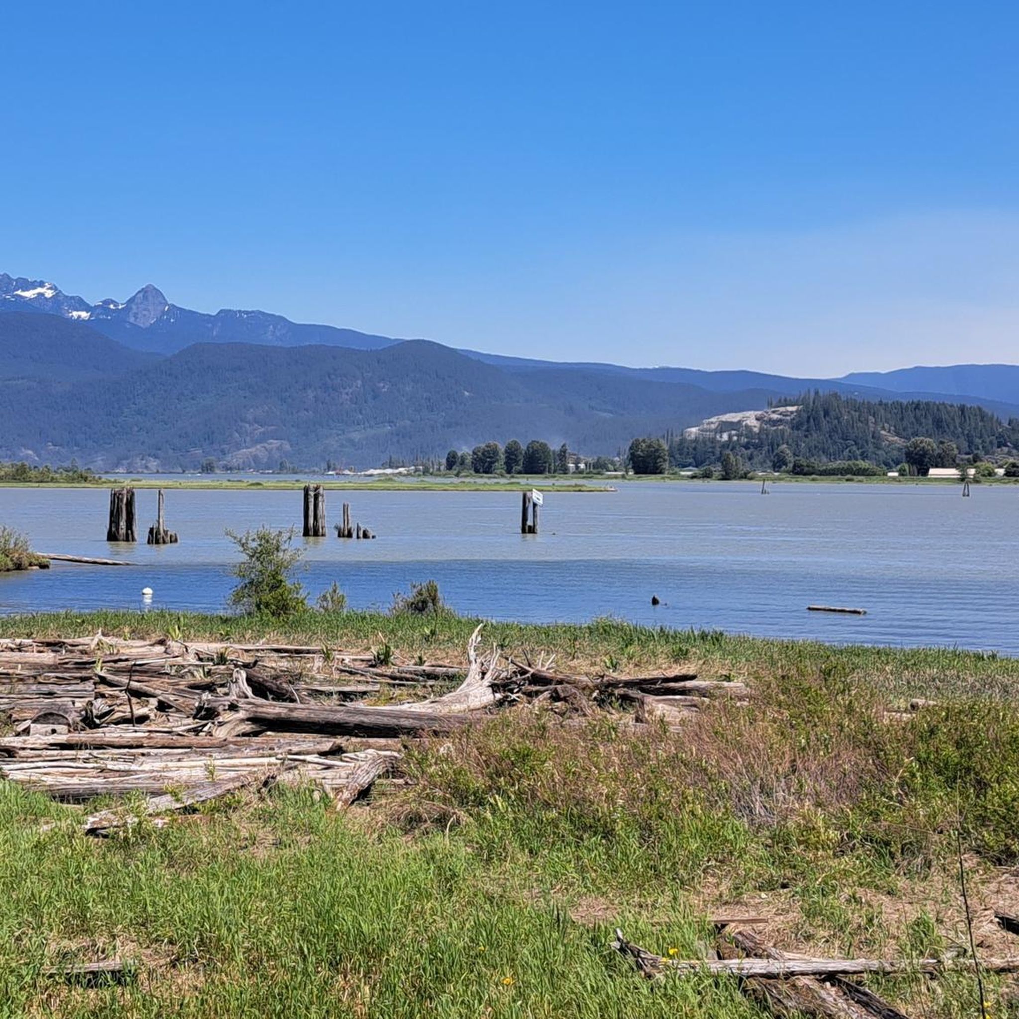
Hiking around Electoral Area A
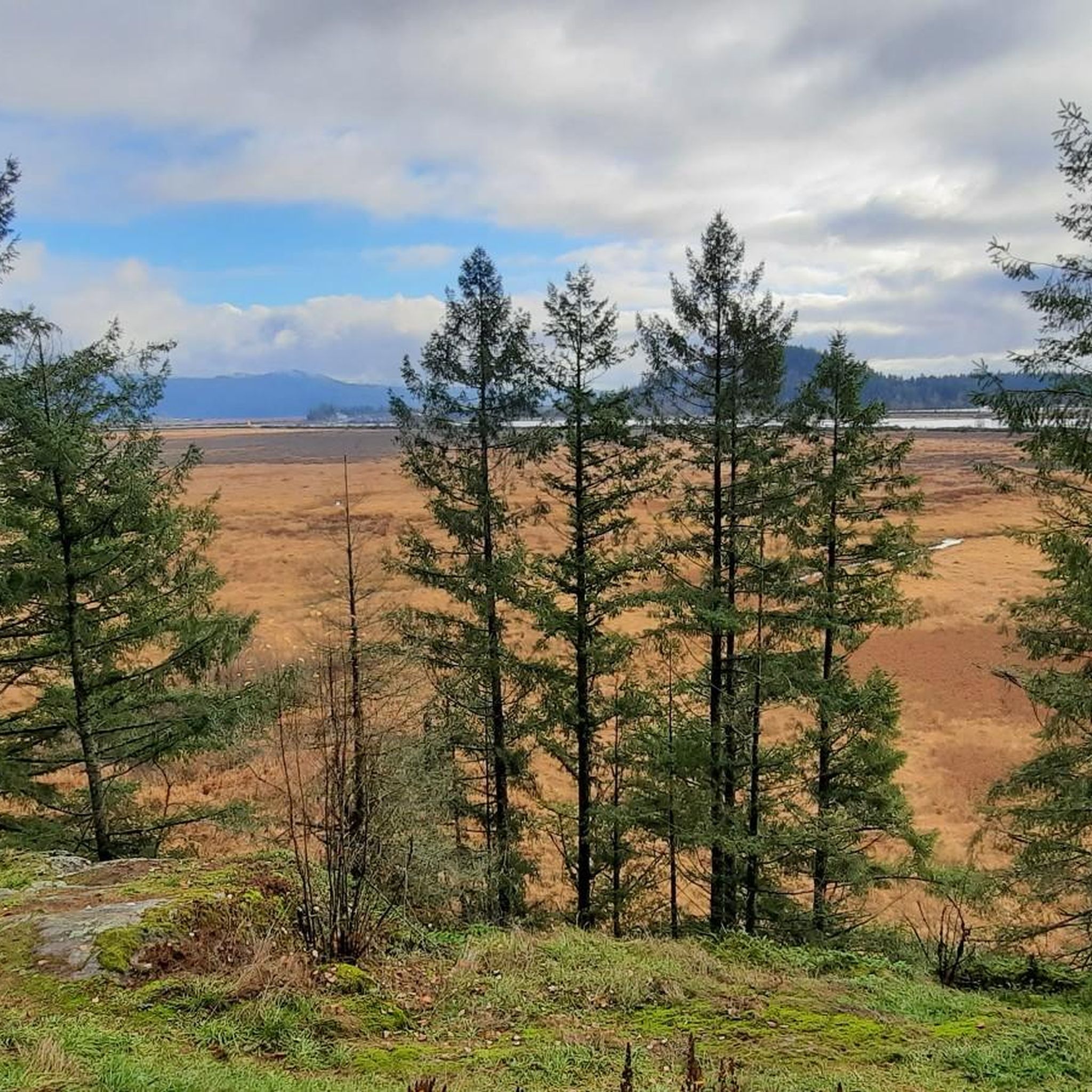
Cycling around Electoral Area A
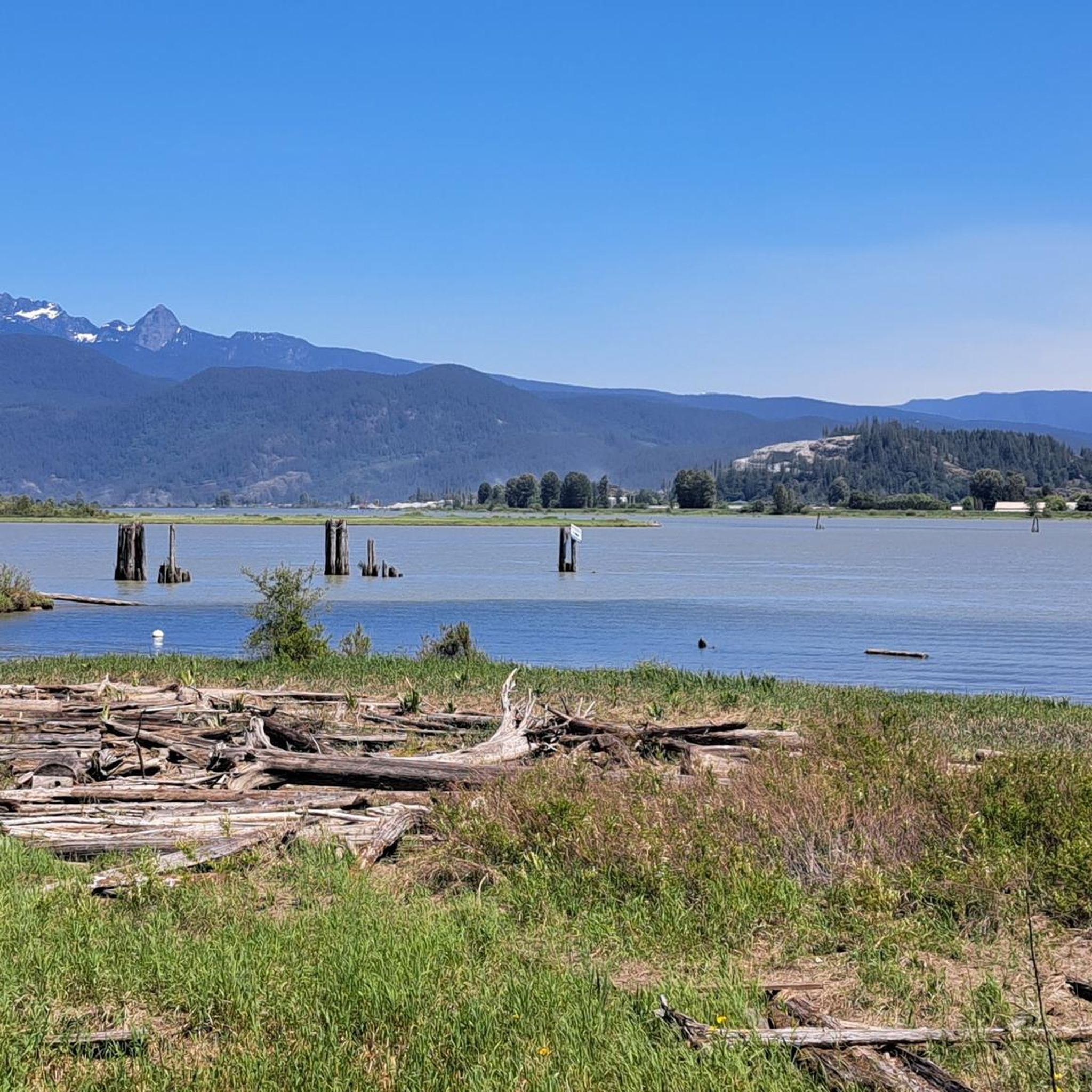
Road Cycling Routes around Electoral Area A
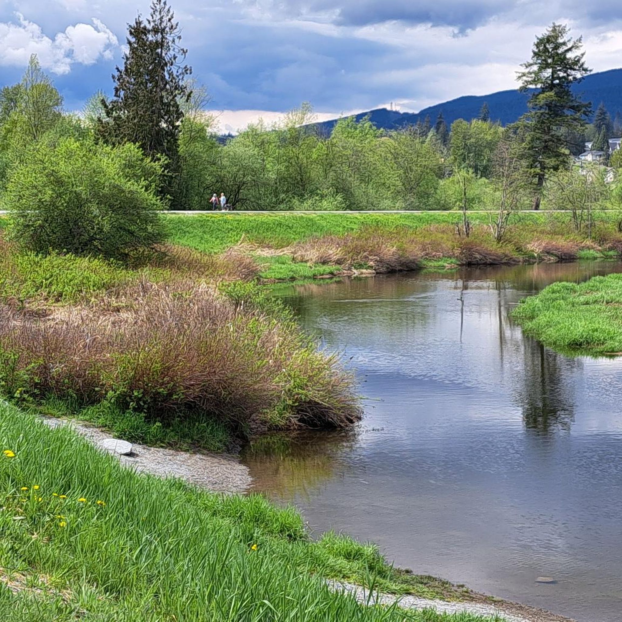
MTB Trails around Electoral Area A

Gravel biking around Electoral Area A
Other adventures around Electoral Area A


Tips from the Community

Camosun Bog, or xʷməm̓qʷe:m in hən̓q̓əmin̓əm̓, sits within Pacific Spirit Regional Park on the unceded territory of the Musqueam Nation, who traditionally used the bog for food, medicine and raw materials. It formed over thousands of years, developing into a bog around 2,000 years ago, but decades of drainage and development altered its water table and put the ecosystem at risk. A boardwalk now winds through the bog, and volunteers with the Camosun Bog Restoration Group have worked since the early 1990s to restore its water levels and peat-forming habitat, giving this rare ecosystem a chance to recover.
0
0
Camosun Bog Boardwalk is a 300-metre wooden walkway that winds through and around the bog, allowing you to explore the wetland without damaging its fragile sphagnum moss. There are interpretive signs along the way that explain the bog’s plants, ecology, and significance to the Musqueam Nation, including Labrador tea, bog laurel and carnivorous sundews. As you explore, it's important to stay on the boardwalk to help protect this sensitive ecosystem.
0
0

Here, the Sasamat Trail meets with the St. Georges Trail. Because the junction is located near the eastern edge of the park, it is highly accessible if you enter from the nearby neighborhood streets like 16th Avenue or Sasamat Street.
0
0
Located within the beautiful Pacific Spirit Regional Park, this wide gravel path is named after the Coast Salish Indigenous peoples who have cared for this land for thousands of years. The path is mostly flat and easy to navigate, making it perfect for a relaxing stroll, a morning run, or a bike ride.
1
0
You should know that Acadia Beach is part of a larger area that includes clothing-optional sections further along the coast. Because it is a natural park, there are no lifeguards on duty, so you should be careful if you decide to dip your toes in the cold water. It is a perfect spot for you to enjoy a peaceful picnic.
0
0
The trail is mostly flat, which makes it very easy for you to enjoy a relaxing stroll or a quick jog. Because the trees are so thick, the path stays shaded and comfortable even on a hot summer day. You will notice that many people bring their dogs here, as many parts of the trail allow them to be off-leash.
0
0

The Lynn Canyon suspension bridge is 40 metres long and was originally built in 1912. It is wide enough for two people to pass each other and is suspended 50 metres above the clear waters of Lynn Creek. The bridge will sway and shake, but take a peek over the edge for a breathtaking view.
1
0
30 Foot Pool is a calm pool with bright blue water. In winter, you might have this pool all to yourself, but in summer, it's a popular place to swim, picnic, and cool off. There's a small beach that is exposed at lower water levels. It's clear, calm water attracts many people there to relax, but you might see some thrill seekers jumping off higher rocks.
1
0
Frequently Asked Questions
What makes jogging in Electoral Area A unique?
Electoral Area A offers a diverse range of landscapes, from the extensive urban forests of Pacific Spirit Regional Park within the University Endowment Lands (UEL) and UBC area, to scenic coastal paths along parts of Indian Arm, and even challenging mountainous terrain north of the North Shore. This variety provides unique running experiences, blending natural beauty with accessible trails.
How many running routes are available in Electoral Area A?
There are over 340 running routes available in Electoral Area A, catering to various preferences and fitness levels. The komoot community has explored these trails over 7000 times, highlighting the area's popularity among runners.
What do other runners say about the trails in Electoral Area A?
The running routes in Electoral Area A are highly rated by the komoot community, with an average score of 4.7 stars from over 60 reviews. Runners often praise the diverse terrain, the natural beauty of areas like Pacific Spirit Regional Park, and the well-maintained paths that offer both challenging and relaxed running experiences.
Are there easy jogging routes suitable for beginners or a relaxed run?
Yes, Electoral Area A offers 14 easy jogging routes. While the guide focuses on more popular options, you can find gentler paths, particularly within the University Endowment Lands and UBC area, which provide accessible green spaces and paved pathways suitable for a relaxed run. For example, the Jericho Beach Park – Chip Wilson's House loop from West Point Grey is a moderate 4.9-mile route that offers a blend of urban parkland and coastal views.
Can I find challenging trail running experiences in Electoral Area A?
Absolutely. Electoral Area A includes mountainous regions north of the North Shore, offering rigorous trail running experiences for advanced joggers seeking elevation and breathtaking panoramic views. Overall, there are 132 difficult routes available. A challenging option is the Chip Wilson's House loop from University of British Columbia, a difficult 20.4-mile path with varied terrain.
Are there dog-friendly running trails in Electoral Area A?
Yes, many trails within Electoral Area A, particularly in Pacific Spirit Regional Park, are dog-friendly. It's always recommended to check specific trail regulations for leash requirements and any restricted areas to ensure a pleasant experience for both you and your dog.
Are there family-friendly jogging routes in the area?
The University Endowment Lands, adjacent to UBC, offer green spaces and pathways that are suitable for families. While specific 'family-friendly' routes are not explicitly listed, the varied terrain of Pacific Spirit Regional Park includes many well-maintained paths that can be enjoyed by families, often with options for shorter distances.
What kind of terrain can I expect on the jogging trails?
The terrain in Electoral Area A is quite varied. In Pacific Spirit Regional Park, you'll find diverse ecosystems with trails ranging from packed earth to gravel paths through dense temperate rainforest. Coastal areas offer scenic waterfront runs, while mountainous regions provide more rugged and elevated terrain for trail running.
Are there circular running routes available?
Yes, many of the running routes in Electoral Area A are designed as loops, allowing you to start and finish at the same point. Examples include the Jericho Beach Park – Chip Wilson's House loop from West Point Grey and the Forest Path – Sword Fern Trail loop from University Endowment Lands, which are popular circular options.
Are there any interesting landmarks or natural features to see along the routes?
Yes, Electoral Area A boasts several natural features and landmarks. You might encounter highlights such as Siwash Rock (Slhx̱í7lsh), Lynn Canyon, or the Lost Lagoon. These natural monuments and scenic spots add to the beauty of your run.
Is public transport available to access the running trails, especially near UBC?
Yes, the University Endowment Lands and UBC area are well-served by public transport, making it convenient to access the trails within Pacific Spirit Regional Park and surrounding areas without a car. Consult local transit schedules for the best routes to your desired starting point.
Are there any specific trails with good viewpoints?
The coastal and marine environments within Electoral Area A, such as parts of Indian Arm, offer opportunities for scenic jogs with stunning views of the ocean, islands, and inlets. Additionally, the mountainous regions north of the North Shore provide breathtaking panoramic vistas for those seeking more challenging runs.
Most popular routes around Electoral Area A
Most popular attractions around Electoral Area A

Get inspired with the komoot mobile app


Explore more
Browse the best Running Trails & Routes in other regions.
