The best walks and hikes around Electoral Area A
4.6
(1375)
17,758
hikers
421
hikes
Hiking around Electoral Area A offers diverse and rugged landscapes within the Columbia Shuswap Regional District of British Columbia. The region is characterized by the Glacier Mountains, including parts of Glacier National Park, and the Columbia River Valley. Elevations vary significantly, from over 2,000 meters in the North Monashee Range to 350 meters in the valleys, creating varied hiking environments. This area features imposing peaks, extensive forests, and unique ecosystems like inland hemlock rainforests.
Best hiking trails around Electoral Area…
Last updated: October 13, 2026
4.8
(54)
1,062
hikers
2.33km
01:40
800m
Moderate hike. Good fitness required. Easily-accessible paths. Suitable for all skill levels.
4.9
(22)
304
hikers
10.2km
02:51
200m
200m
Moderate hike. Good fitness required. Easily-accessible paths. Suitable for all skill levels.

4.9
(34)
203
hikers
7.51km
02:01
100m
100m
Moderate hike. Good fitness required. Easily-accessible paths. Suitable for all skill levels.
4.5
(14)
134
hikers
10.5km
03:06
290m
290m
Moderate hike. Good fitness required. Easily-accessible paths. Suitable for all skill levels.
5.0
(8)
143
hikers
16.4km
08:06
1,560m
1,560m
Hard hike. Very good fitness required. Mostly accessible paths. Sure-footedness required.
Get access to more routes and recommendations from other explorers.
Already have an account?
Our route recommendations are based on thousands of hikes, rides, and runs completed by other people on komoot.
Start today with a free account
Your next adventure awaits.
Popular around Electoral Area A

Canada by train – scenic hikes from Western stations

Pacific charm and peak happiness in British Columbia

MTB Road Trip Sea-to-Sky – dream trails in British Columbia
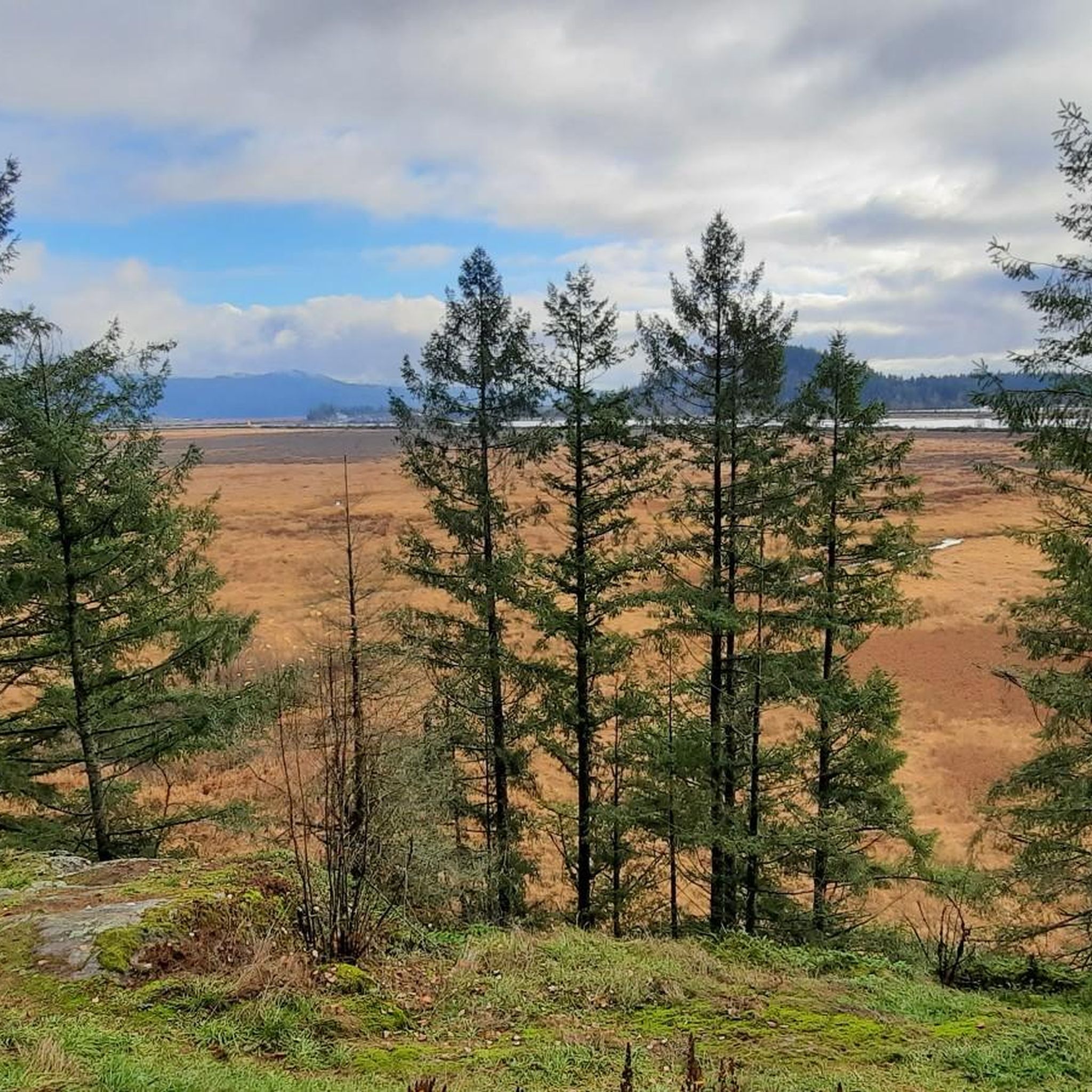
Cycling around Electoral Area A
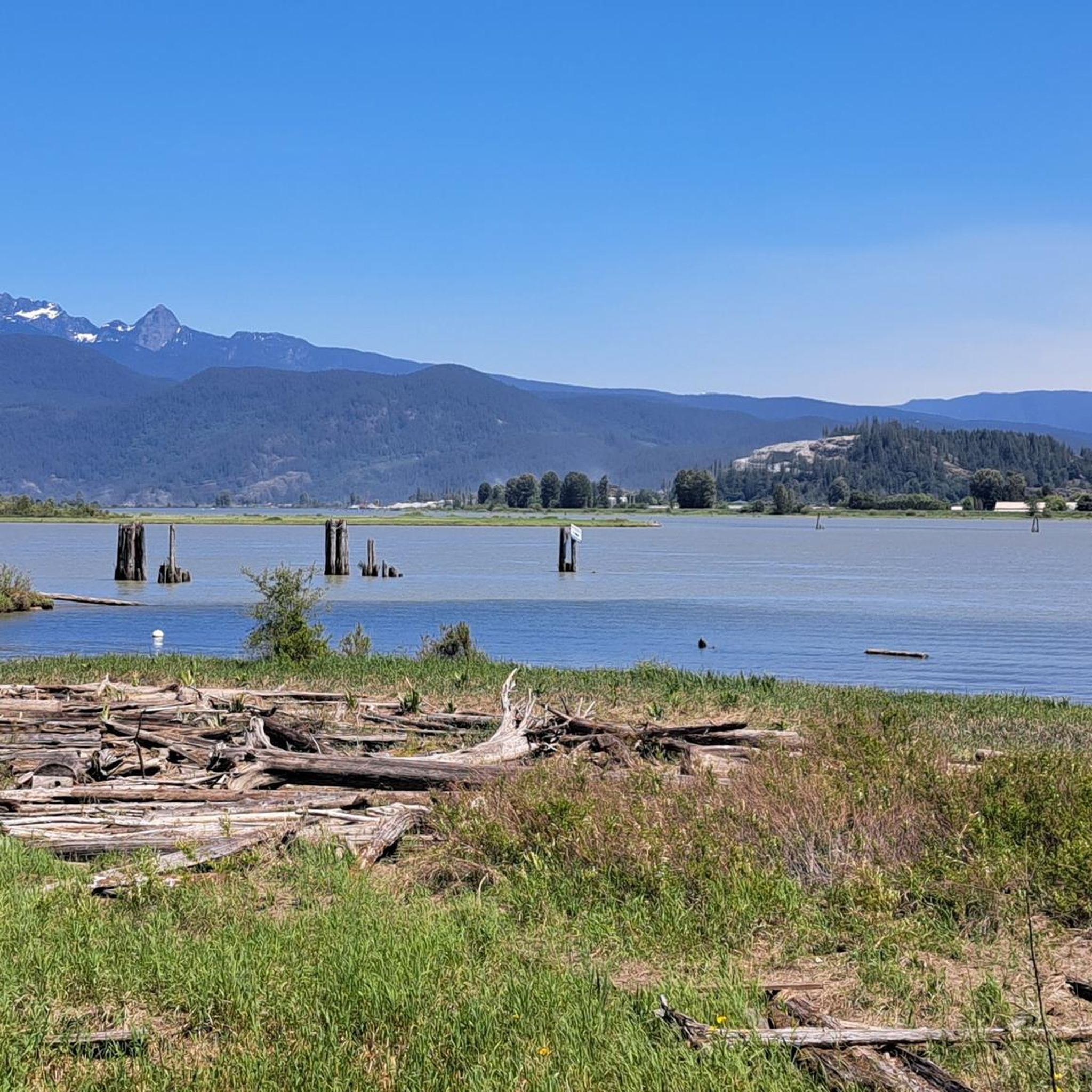
Road Cycling Routes around Electoral Area A
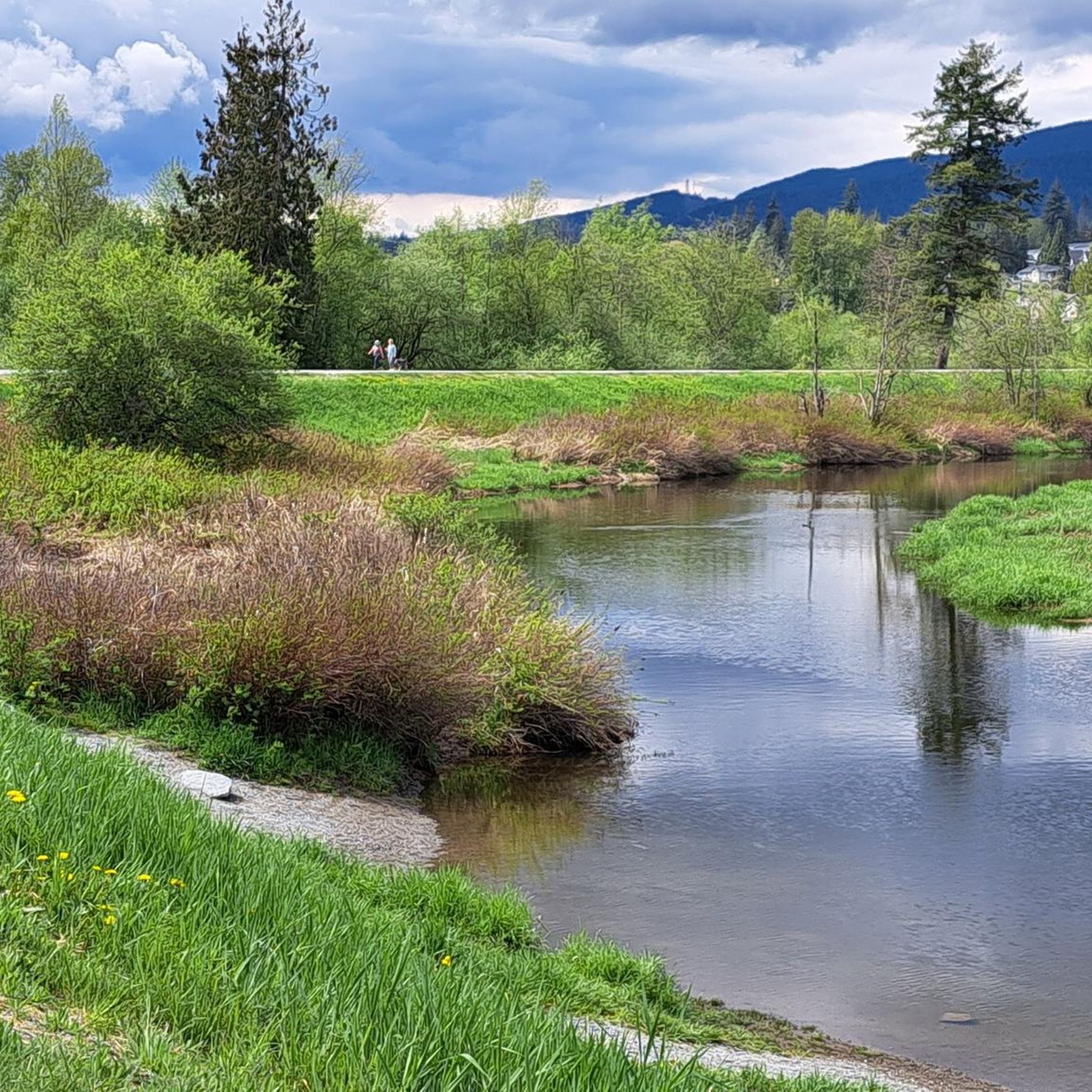
Running Trails around Electoral Area A
MTB Trails around Electoral Area A

Gravel biking around Electoral Area A
Other adventures around Electoral Area A


Tips from the Community

The Lynn Canyon suspension bridge is 40 metres long and was originally built in 1912. It is wide enough for two people to pass each other and is suspended 50 metres above the clear waters of Lynn Creek. The bridge will sway and shake, but take a peek over the edge for a breathtaking view.
1
0
30 Foot Pool is a calm pool with bright blue water. In winter, you might have this pool all to yourself, but in summer, it's a popular place to swim, picnic, and cool off. There's a small beach that is exposed at lower water levels. It's clear, calm water attracts many people there to relax, but you might see some thrill seekers jumping off higher rocks.
1
0
This section of the Baden-Powell Trail runs through Canyon Creek, with full, green forests offering shade, boardwalks through muddy areas, and a well-maintained trail easy to follow. Look up at these moss-covered trees every once in a while to see the amazing heights they reach.
1
0

Buntzen Lake is a picturesque lake surrounded by towering fir and hemlock trees with hiking trails tracing along the shoreline offering grand lake and mountain views.
0
0

Nice sturdy log bridge that crosses Magnesia Creek.
0
0

Scary! It's wobbling everywhere.
3
0
A really beautiful place to walk.
3
0
Bridal Veil Falls is a short cascade where Killarney Lake empties into Mannion Bay. You will see a fish ladder nearby where salmon can swim upstream.
0
0
Frequently Asked Questions
How many hiking trails are available in Electoral Area A?
Electoral Area A offers a wide variety of hiking experiences with over 400 routes recorded on komoot. These range from easy strolls to challenging alpine expeditions, catering to all skill levels.
What kind of terrain can I expect when hiking in Electoral Area A?
The region boasts incredibly diverse and rugged landscapes. You'll find yourself amidst the towering Glacier Mountains, including parts of Glacier National Park, and along the scenic Columbia River Valley. Elevations vary significantly, from over 2,000 meters in the North Monashee Range to 350 meters in the valleys, creating varied environments from extensive forests to unique ecosystems like inland hemlock rainforests and ancient boulder fields.
What do other hikers enjoy most about the trails in Electoral Area A?
The trails in Electoral Area A are highly rated by the komoot community, with an average score of 4.6 stars from over 1,200 reviews. Hikers frequently praise the diverse scenery, from glacial formations and imposing peaks to serene lake loops and river valleys. The variety of difficulty levels also means there's something for everyone, from gentle walks to strenuous climbs.
Are there any family-friendly hikes in Electoral Area A?
Yes, there are many easier options suitable for families. For example, the Coquitlam Crunch Trail is an easy 6.1 km path. Within Glacier National Park, the Bear Creek Falls trail is a short, family-friendly hike leading to a beautiful waterfall, and the Meeting of the Waters Trail is an easy loop to the confluence of Asulkan Brook and the Illecillewaet River.
Can I find trails with waterfalls in Electoral Area A?
Absolutely! The region is known for its stunning natural features, including waterfalls. The Asulkan Valley Trail in Glacier National Park leads through rich forests with streams, creeks, rivers, and waterfalls, offering spectacular scenery. The Bear Creek Falls trail is another excellent option for a shorter walk to a beautiful waterfall.
Are there any circular hiking routes in Electoral Area A?
Yes, several trails offer a rewarding loop experience. The Buntzen Lake Loop Trail is a moderate 10.2 km path offering scenic views around the lake, winding through forested areas. Another popular choice is the Killarney Lake Loop Trail, a 7.5 km route through varied terrain around a lake.
What are some notable natural features or landmarks to look out for?
Electoral Area A is rich in natural wonders. You can explore the historic Rogers Pass, known for its awe-inspiring panoramas, or discover unique ecological features like the inland hemlock rainforest in Hemlock Grove. Other notable landmarks include Siwash Rock (Slhx̱í7lsh) and the dramatic Lynn Canyon. Many trails offer views of glacial and rock formations within Glacier National Park.
Are there any challenging alpine hikes for experienced hikers?
For experienced hikers seeking a challenge, Electoral Area A offers several strenuous alpine expeditions. Within Glacier National Park, trails like Abbot Ridge, Hermit Trail, Perley Rock Trail, Glacier Crest Trail, and Balu Pass Trail provide significant climbs and breathtaking views. The Brunswick Lake via Sunset Parking Lot — Lions Bay route is a difficult 16.4 km hike with over 1500m of elevation gain.
What is the best time of year to hike in Electoral Area A?
The best time to hike largely depends on the type of experience you're seeking. Late summer is particularly beautiful, especially for subalpine meadows bursting with wildflowers, as seen on the Mountain Meadows Trail from Rogers Pass. While many trails are accessible in warmer months, some higher alpine routes may still have snow into early summer. Always check local conditions before heading out.
Are there any trails along the Columbia River?
Yes, the Columbia River Valley offers distinct scenic vistas. The Old Coach Trail, for instance, winds along the Columbia River, providing expansive views of evergreen forests and sandstone bluffs. This area offers a different perspective compared to the higher mountain trails.
Are there any trails that offer panoramic views of glaciers?
Absolutely. Electoral Area A, particularly within Glacier National Park, is renowned for its glacial landscapes. Trails like Abbot Ridge and Glacier Crest Trail offer awe-inspiring 360-degree views of glacial and rock formations. The Perley Rock Trail also rewards hikers with magnificent views of the region and the Illecillewaet Glacier after a steep climb.
Most popular routes around Electoral Area A
Most popular attractions around Electoral Area A

Get inspired with the komoot mobile app


Explore more
Browse the best Hikes in other regions.
