The best cycling routes around Electoral Area A
4.5
(613)
6,551
riders
94
rides
Touring cycling around Electoral Area A in Metro Vancouver offers diverse landscapes, from coastal paths to rainforest trails and island loops. This region encompasses areas like the University Endowment Lands, Barnston Island, and portions of Howe Sound and Indian Arm. Cyclists can explore extensive multi-use trails, flat paved routes, and challenging gravel paths. The terrain varies from lush rainforest environments to dramatic fjord-like inlets and scenic river views.
Best touring cycling routes around Electoral Area A
- The most popular touring…
Last updated: October 9, 2026
4.8
(233)
2,930
riders
34.7km
02:11
230m
230m
Moderate bike ride. Good fitness required. Mostly paved surfaces. Suitable for all skill levels.
4.8
(31)
529
riders
51.9km
04:08
650m
650m
Hard bike ride. Very good fitness required. Mostly paved surfaces. Suitable for all skill levels.

4.8
(52)
391
riders
33.7km
02:13
400m
400m
Moderate bike ride. Good fitness required. Mostly paved surfaces. Suitable for all skill levels.
4.2
(105)
340
riders
39.5km
02:59
170m
170m
Moderate bike ride. Good fitness required. Mostly paved surfaces. Suitable for all skill levels.
4.9
(13)
143
riders
Easy bike ride. Great for any fitness level. Mostly paved surfaces. Suitable for all skill levels.
Get access to more routes and recommendations from other explorers.
Already have an account?
Our route recommendations are based on thousands of hikes, rides, and runs completed by other people on komoot.
Start today with a free account
Your next adventure awaits.
Popular around Electoral Area A

Canada by train – scenic hikes from Western stations

Pacific charm and peak happiness in British Columbia

MTB Road Trip Sea-to-Sky – dream trails in British Columbia
Hiking around Electoral Area A
Road Cycling Routes around Electoral Area A
Running Trails around Electoral Area A
MTB Trails around Electoral Area A

Gravel biking around Electoral Area A
Other adventures around Electoral Area A


Tips from the Community

The Hyde Creek Salmon Hatchery is a small powerhouse of local conservation, run entirely by volunteers who raise thousands of coho and chum salmon each year. Its story began in the 1980s with a homemade backyard hatchery, complete with an old bathtub! Drop by on a Saturday morning when volunteers are usually around, and you may get a glimpse behind the scenes before heading back out to watch for salmon in Hyde Creek itself.
1
0

immersion not recommended due to poor water quality in a port area
0
0

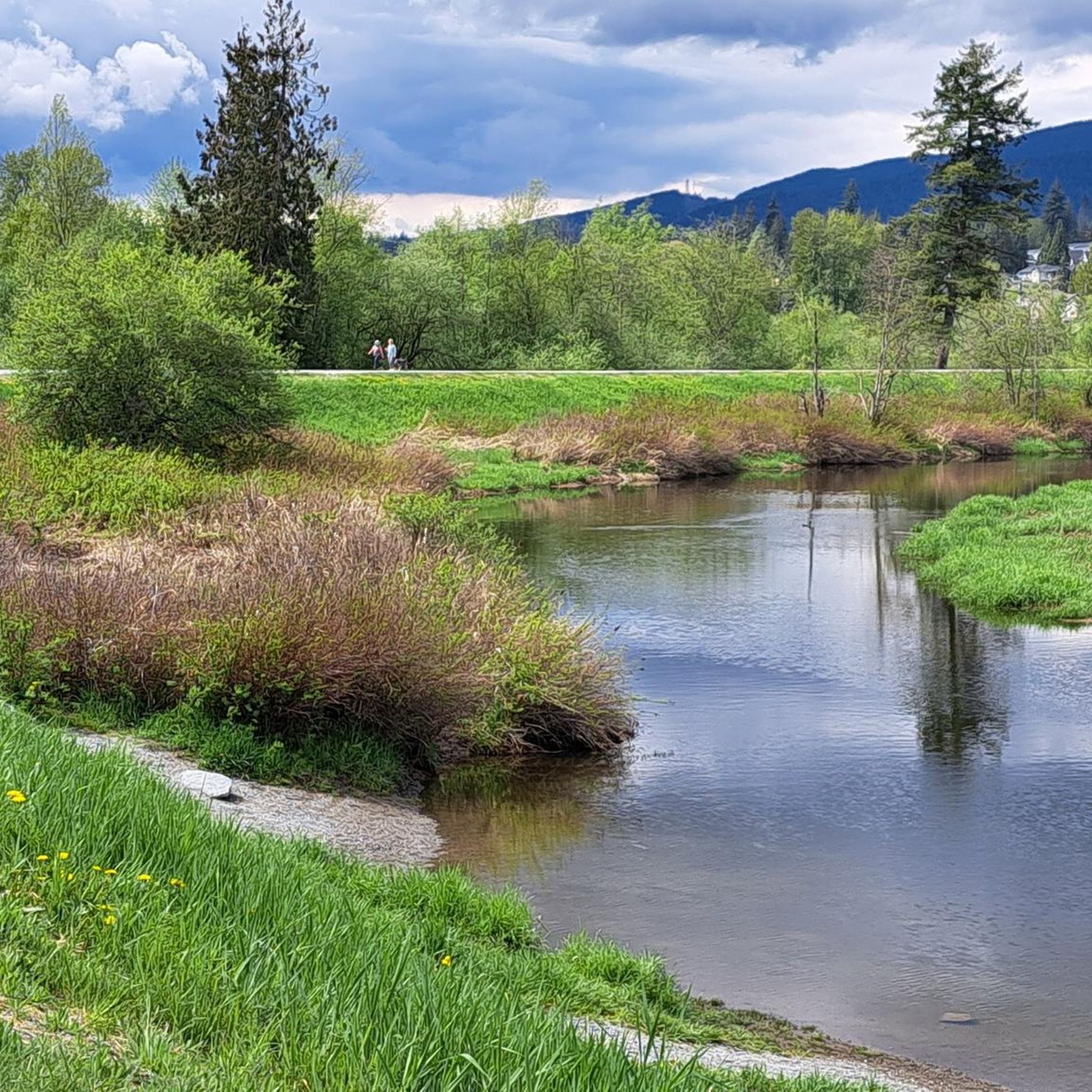
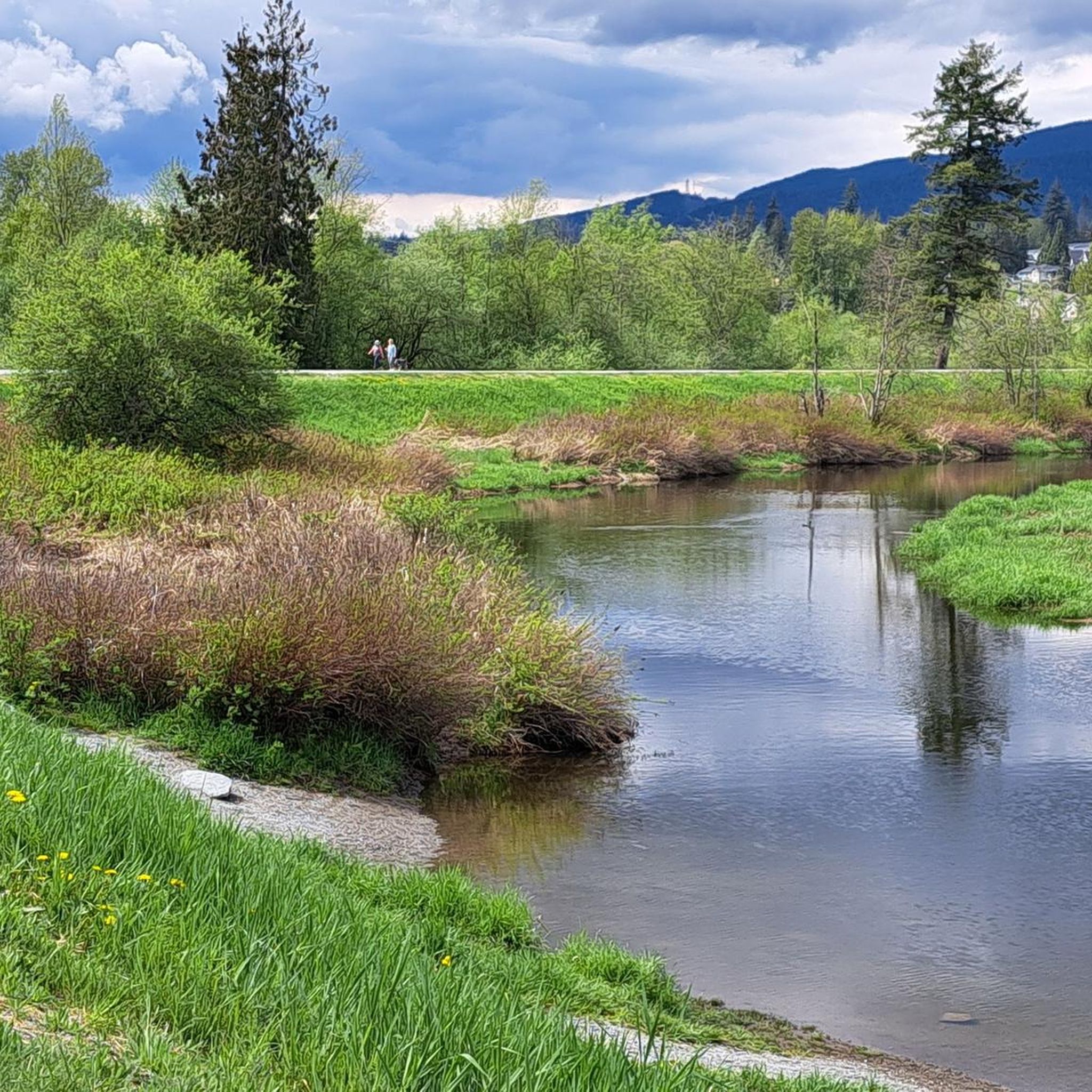
The view opens onto a slow, meandering river cutting through wide-open farmland — a mix of grassy fields, wetland patches, and hedgerows rather than dense forest crowding the banks.
0
0
This brigde was built through community fundraising efforts led by the Colony Farm Park Association, working in partnership with Metro Vancouver, to give walkers and cyclists a direct river crossing within the park's trail network. It serves as a key junction point: crossing it lets visitors extend a walk into a longer loop, linking the western side of the park near the Community Gardens to the eastern Wilson Farm area, rather than backtracking the way they came.
0
0

Here, the Avison Trail crosses over Stanley Park Causeway via a sidewalk on Stanley Park Drive and gives one of the best viewpoints over Lions Gate Bridge. There is an informational sign on the sidewalk about the bridge, and the viewpoints look straight down the bridge from between the forests.
1
0

The Spirit Trail follows the coast of North Van, passing by the pond and sports courts here in Ambleside Park. The trail is divided into two lanes, one for hiking and slower cyclists and one for commuting cyclists.
0
0

This section of the Trans Canada Trail follows the wooded banks of the Coquitlam River through Coquitlam. The mostly gravel path runs through forested river habitat, offering a quiet stretch of trail where the sound of the river accompanies much of the walk. It’s a multi-use route popular with hikers, runners, and cyclists, and several bridges and viewpoints along the way provide good views over the river as it flows through the valley.
0
0

Grand Boulevard Park is a long, linear park located in the North Vancouver. The park runs through the center of the historic Grand Boulevard, creating a wide green corridor that stretches several blocks through the neighborhood. It features open lawns, mature trees, and paved pathways that are popular for walking, jogging, and cycling. The park is also used for community gatherings and seasonal events.
0
0
Frequently Asked Questions
How many touring cycling routes are available in Electoral Area A?
Electoral Area A offers a wide variety of touring cycling routes, with over 115 different options available on komoot. These routes cater to various skill levels, from easy family rides to more challenging adventures.
Are there easy touring cycling routes suitable for families in Electoral Area A?
Yes, Electoral Area A has numerous family-friendly options. For instance, Barnston Island offers a flat, paved 10 km loop road with minimal traffic, perfect for a relaxed family ride. Pacific Spirit Regional Park also features extensive multi-use trails, many of which are suitable for easy cycling through a lush rainforest environment. You can find over 40 easy routes in the area on komoot.
What kind of terrain can I expect on touring cycling routes in Electoral Area A?
The terrain in Electoral Area A is incredibly diverse. In Metro Vancouver's Electoral Area A, you'll find coastal paths, lush rainforest trails with mixed surfaces (smooth to compressed gravel), and flat paved island loops. Areas around Pitt Lake, Howe Sound, and Indian Arm offer opportunities for more adventurous gravel cycling with significant elevation changes. The Salmon River-Lakes area provides more remote, wilderness-oriented experiences on rural roads and through forested areas.
Can I find circular touring cycling routes in the area?
Yes, many touring cycling routes in Electoral Area A are designed as loops. A popular example is the English Bay Beach – Lions Gate Bridge loop from West Vancouver, which offers scenic coastal views. Barnston Island also features a highly recommended flat, paved 10 km loop road.
Are there any specific routes recommended for gravel cycling?
For gravel cycling enthusiasts, the areas around Pitt Lake, Howe Sound, and Indian Arm offer excellent opportunities to venture beyond paved roads into natural settings. The Indian Arm area, for example, has a challenging 43-mile (approximately 69 km) gravel route with significant elevation changes, often combined with paddling. The Sea to Sky Trail, which starts near Howe Sound, also provides an immersive experience through varied terrain.
What natural attractions or landmarks can I see while cycling in Electoral Area A?
Electoral Area A is rich in natural beauty and landmarks. Along your rides, you might encounter iconic sights like the Totem Poles in Stanley Park, the unique Siwash Rock (Slhx̱í7lsh), or the scenic English Bay Beach. The Salmon River-Lakes area offers picturesque views of lakes such as Ness Lake and Nukko Lake, and the Salmon River itself.
Are there any waterfalls accessible by bike in Electoral Area A?
Yes, the region boasts several beautiful waterfalls that can be incorporated into your cycling adventures. You can find stunning views of Twin Falls from Twin Falls Bridge, or explore trails leading to Kennedy Falls, Crystal Falls, and Lower Falls in Golden Ears Provincial Park.
Is Barnston Island a good destination for touring cyclists, and how do I get there?
Barnston Island is an excellent destination for touring cyclists, particularly for families or those seeking a relaxed ride. It features a flat, paved 10 km loop road with almost no traffic, offering scenic views of the Fraser River and farmlands. The island is accessible by a free barge, which adds to its unique charm as a cycling spot.
What do other cyclists say about touring cycling in Electoral Area A?
The touring cycling routes in Electoral Area A are highly rated by the komoot community, with an average score of 4.5 stars from over 500 reviews. Cyclists often praise the diverse landscapes, from coastal paths and rainforest trails to serene island loops, and appreciate the variety of options available for different ability levels.
Are there options for more challenging or advanced touring cycling routes?
Absolutely. For experienced touring cyclists seeking a challenge, Electoral Area A offers several difficult routes. The Halfway Hairpin – Seymour Trailway loop from North Vancouver is a difficult 52 km path with significant elevation changes through forested areas. The Seymour Trailway – 90 Foot Pool loop from North Vancouver also presents varied and challenging terrain. Additionally, gravel routes around Pitt Lake and Indian Arm can be quite demanding.
What is the best time of year to go touring cycling in Electoral Area A?
While cycling is possible year-round, the spring, summer, and early autumn months generally offer the most pleasant conditions for touring cycling in Electoral Area A, especially for routes with varied terrain. During these seasons, you'll experience milder weather and less chance of rain, making for more enjoyable rides through coastal, rainforest, and island environments.
Are dogs allowed on touring cycling routes in Electoral Area A?
Dog policies vary by specific park or trail. For example, Pacific Spirit Regional Park, a popular cycling area within Electoral Area A, has designated off-leash areas and trails where dogs are permitted, usually on a leash. It's always best to check the specific regulations for each park or trail you plan to visit to ensure compliance with local rules regarding pets.
Where can I find amenities like cafes or accommodation near the cycling routes?
In Metro Vancouver's Electoral Area A, particularly around the University Endowment Lands and UBC, you'll find various cafes and amenities. Barnston Island has limited amenities, so it's advisable to bring your own supplies. For more remote areas like Salmon River-Lakes, amenities will be scarcer, so planning ahead for food, water, and accommodation in nearby towns is recommended.
Most popular routes around Electoral Area A
Most popular attractions around Electoral Area A

Get inspired with the komoot mobile app


Explore more
Browse the best Cycling routes in other regions.
