The best road cycling routes around Saint-Pancrace
4.5
(824)
46,946
riders
107
rides
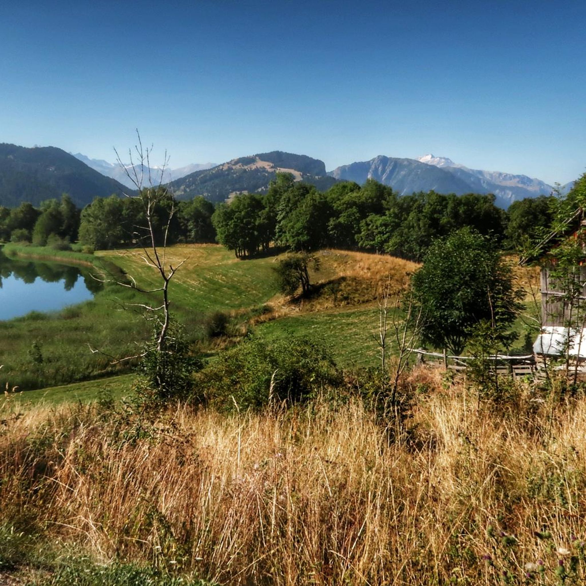
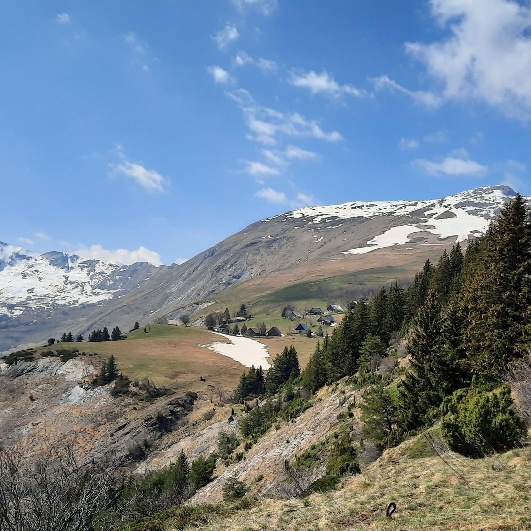
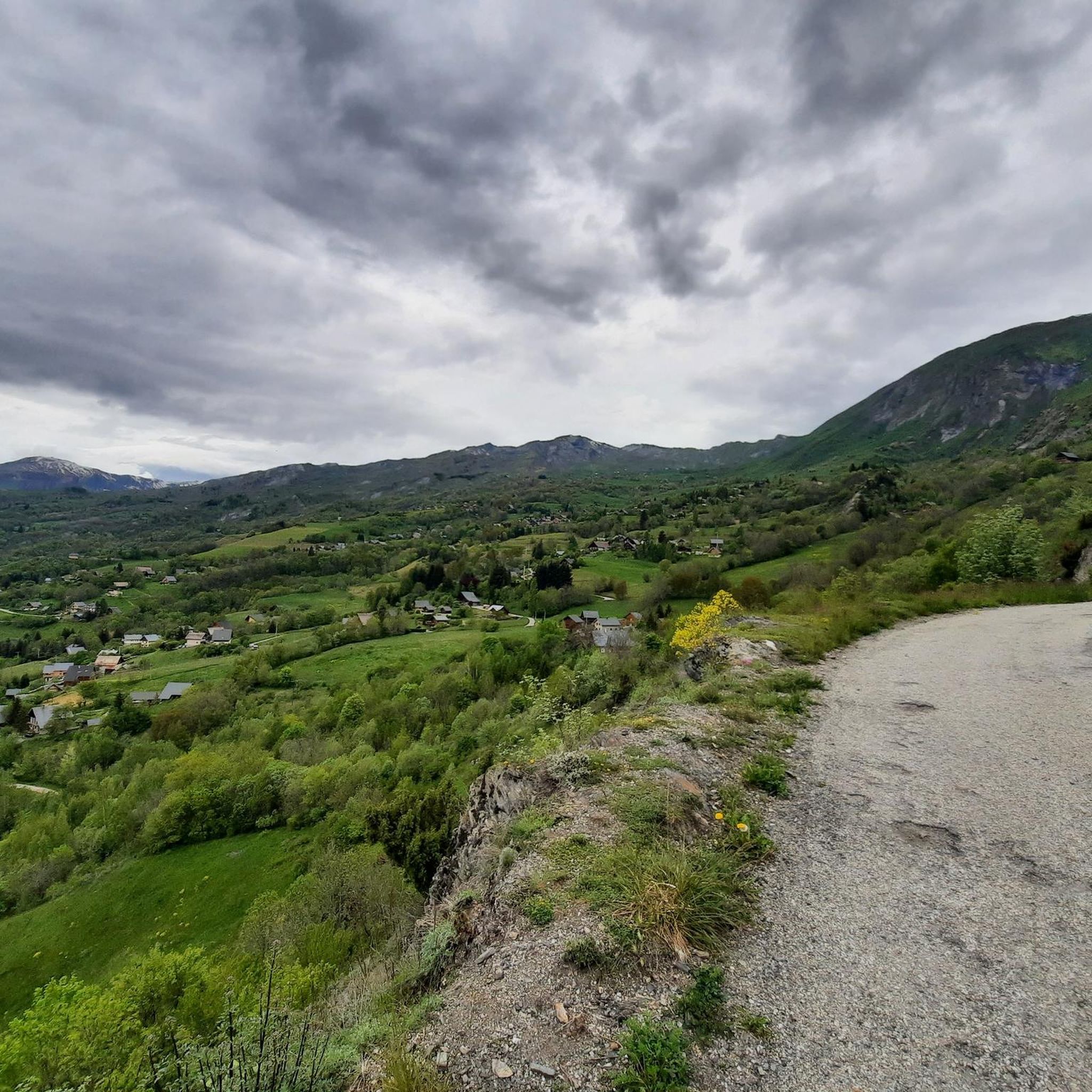
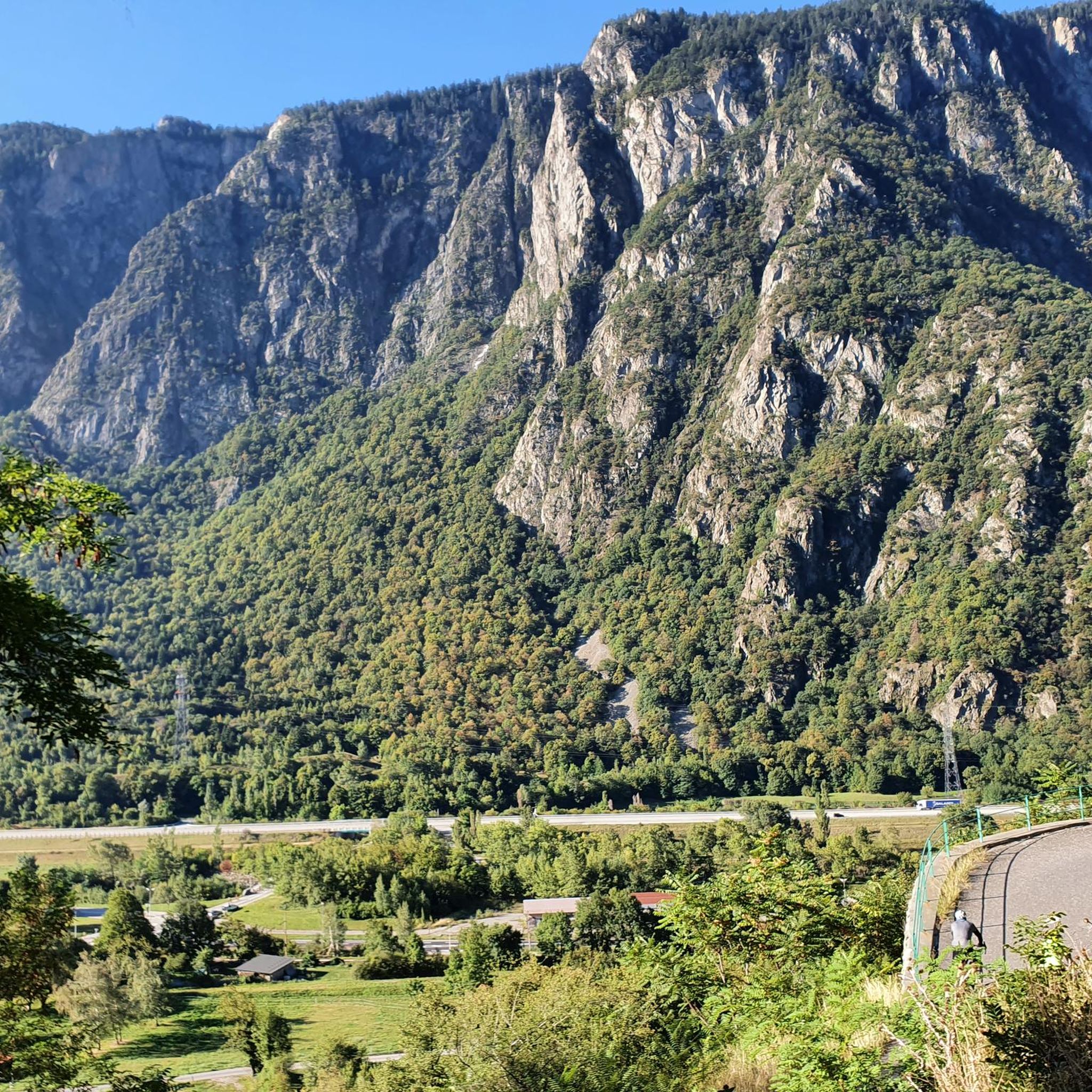
Road cycling routes around Saint-Pancrace traverse the mountainous landscapes of the Savoie department in the Auvergne-Rhône-Alpes region of France. The area is characterized by challenging ascents and high mountain passes within the Maurienne Valley, known for its extensive cycling terrain. Cyclists encounter majestic peaks, verdant valleys, and alpine pastures, with altitudes ranging from 715m to 2137m. The region offers consistently steep gradients and panoramic mountain views, including routes through the Saint-Pancrace forest.
Best road cycling routes around Saint-Pancrace
- The most…
Last updated: October 18, 2026
4.8
(91)
5,206
riders
70.4km
04:55
2,410m
2,410m
Challenge yourself on the difficult 43.8-mile road cycling loop to Col de la Croix de Fer from Saint-Jean-de-Maurienne, with 7899 feet of cl

4.8
(86)
4,634
riders
62.8km
04:14
2,050m
2,050m
Hard road ride. Very good fitness required. Mostly well-paved surfaces and easy to ride.

4.8
(51)
2,335
riders
50.2km
03:11
1,370m
1,370m
Hard road ride. Very good fitness required. Mostly well-paved surfaces and easy to ride.
4.5
(14)
583
riders
37.7km
02:24
1,060m
1,060m
Hard road ride. Very good fitness required. Mostly well-paved surfaces and easy to ride.
4.4
(13)
525
riders
43.7km
02:56
1,430m
1,430m
Hard road ride. Very good fitness required. Mostly well-paved surfaces and easy to ride.
Get access to more routes and recommendations from other explorers.
Already have an account?
Our route recommendations are based on thousands of hikes, rides, and runs completed by other people on komoot.
Start today with a free account
Your next adventure awaits.


Tips from the Community

Beautiful church and small water spot.
2
0

Attention (!). As of June 2026, almost the entire route (except for the curves themselves) is gravel! It's small gravel and can be ridden with a road bike, but anyone who doesn't want to risk anything shouldn't go this way. Definitely don't ride downhill here.
4
0
Nice descent, no longer the best asphalt. Beautiful views.
2
0
Orderly ascent, nice pass with chapel and bar/restaurant. Some water points, but not many.
1
0
Nice ascent D80, little traffic, partially newly gravelled road. Unfortunately, the nice signs about the pass regarding km and gradient are missing.
2
0
Unfortunately there is nothing along the way. The bar in the village is currently permanently closed. Fountain helpful
2
0
Great views, busy road.
2
0
Every kilometer there is a cycling tip. Little traffic, partial shade and 13 hairpin bends.
2
0
Frequently Asked Questions
How many road cycling routes are available around Saint-Pancrace?
There are over 95 road cycling routes around Saint-Pancrace, offering a wide range of options for different skill levels. The region is known for its diverse terrain, from challenging mountain passes to scenic valley roads.
Are there any road cycling routes suitable for beginners in Saint-Pancrace?
While Saint-Pancrace is renowned for its challenging ascents, there are 13 routes classified as easy, providing options for beginners or those looking for a more relaxed ride. These routes often traverse verdant valleys and offer gentler gradients.
What are the most challenging road cycling routes in the Saint-Pancrace area?
The region is a haven for experienced cyclists, with 46 routes classified as difficult. Notable challenging routes include the Glandon/Croix-de-Fer Circuit, which features significant elevation gain over two iconic mountain passes, and the Circuit du Chaussy – Itinéraires pour vélo de route en Maurienne, known for its sustained climbing through challenging mountain terrain.
What kind of landscapes can I expect to see on road cycling routes around Saint-Pancrace?
Road cycling routes around Saint-Pancrace traverse majestic peaks, verdant valleys, and alpine pastures, providing breathtaking panoramas at every turn. You'll encounter consistently steep gradients and panoramic mountain views, with routes also passing through the scenic Saint-Pancrace forest.
Are there any loop road cycling routes available in Saint-Pancrace?
Yes, many routes in the region are designed as loops, allowing you to start and finish in the same location. For example, the Glandon/Croix-de-Fer Circuit is a popular loop that covers 43.8 miles (70.4 km) and takes you over two famous cols.
What are some notable landmarks or viewpoints along the road cycling routes?
The routes offer numerous scenic viewpoints and pass by iconic landmarks. You can encounter the famous Montvernier Hairpins, climb over the Col du Chaussy, or reach the summit of Col de la Croix de Fer. Many routes also offer views of Mont-Blanc.
What do other road cyclists enjoy most about the routes in Saint-Pancrace?
The road cycling routes in Saint-Pancrace are highly rated by the komoot community, with an average score of 4.6 stars from over 500 reviews. Cyclists often praise the challenging ascents, the stunning alpine scenery, and the well-maintained roads that lead through iconic mountain passes like the Col du Glandon and Col de la Croix de Fer.
When is the best time of year for road cycling in Saint-Pancrace?
The best time for road cycling in Saint-Pancrace is typically during the warmer months, from late spring to early autumn, when mountain passes are clear of snow and weather conditions are most favorable. The Saint-Pancrace forest also offers welcome respite and scenic beauty during warmer periods.
Are there any family-friendly road cycling options around Saint-Pancrace?
While many routes are challenging, the region does offer some easier sections and valley roads that can be more suitable for families. It's recommended to look for routes classified as 'easy' within the komoot guide to find options with less elevation gain and more gentle terrain.
Can I find cafes or places to rest along the road cycling routes?
Many of the routes, especially those passing through or near villages and popular mountain passes, will have opportunities for refreshments. For instance, there's a chalet at Col du Glandon, and the charming village of Saint-Pancrace itself offers a blend of rural charm where you can find places to stop.
What is the elevation range for road cycling in Saint-Pancrace?
The commune of Saint-Pancrace spans altitudes from 715m to 2137m, ensuring a varied and dynamic cycling experience with significant elevation gains on many routes. This range contributes to the challenging nature and panoramic views characteristic of the region.
Are there any specific routes that are particularly scenic?
The entire region is known for its spectacular scenery. Routes like the Circuit Glandon / Croix-de-Fer – Itinéraires pour vélo de route en Maurienne offer sustained climbing through the renowned Maurienne Valley, providing breathtaking views of majestic peaks and alpine pastures throughout the ride.
Most popular routes around Saint-Pancrace
Most popular attractions around Saint-Pancrace

Get inspired with the komoot mobile app


Explore more
Browse the best Road cycling routes in other regions.
