The best running trails around Saint-Pancrace
4.2
(40)
3,810
runners
202
runs
Jogging around Saint-Pancrace offers a diverse landscape characterized by mountainous terrain and extensive trail networks. The region, located in the Auvergne-Rhône-Alpes, features varied elevations, from gentle paths to challenging ascents. Runners can explore lush forests, alpine meadows, and enjoy panoramic views of the Aiguilles d'Arves and the Sybelles ski domain. Saint-Pancrace trails provide a range of options for different fitness levels.
Best jogging routes around Saint-Pancrace
- The most popular jogging route is The Three Crosses loop from La Simianaz,…
Last updated: July 1, 2026
85
runners
7.37km
00:53
190m
190m
Moderate run. Good fitness required. Mostly paved surfaces. Suitable for all skill levels.
16
runners
6.53km
00:55
260m
260m
Moderate run. Good fitness required. Mostly paved surfaces. Suitable for all skill levels.

Sign up for free
12
runners
5.38km
00:49
290m
290m
Moderate run. Good fitness required. Mostly paved surfaces. Suitable for all skill levels.
17
runners
15.5km
01:50
480m
480m
Hard run. Very good fitness required. Mostly paved surfaces. Suitable for all skill levels.
18
runners
Hard run. Very good fitness required. Mostly paved surfaces. Suitable for all skill levels.
Get access to more routes and recommendations from other explorers.
Sign up for free
Already have an account?
Our route recommendations are based on thousands of hikes, rides, and runs completed by other people on komoot.
Start today with a free account
Your next adventure awaits.
Login or Signup
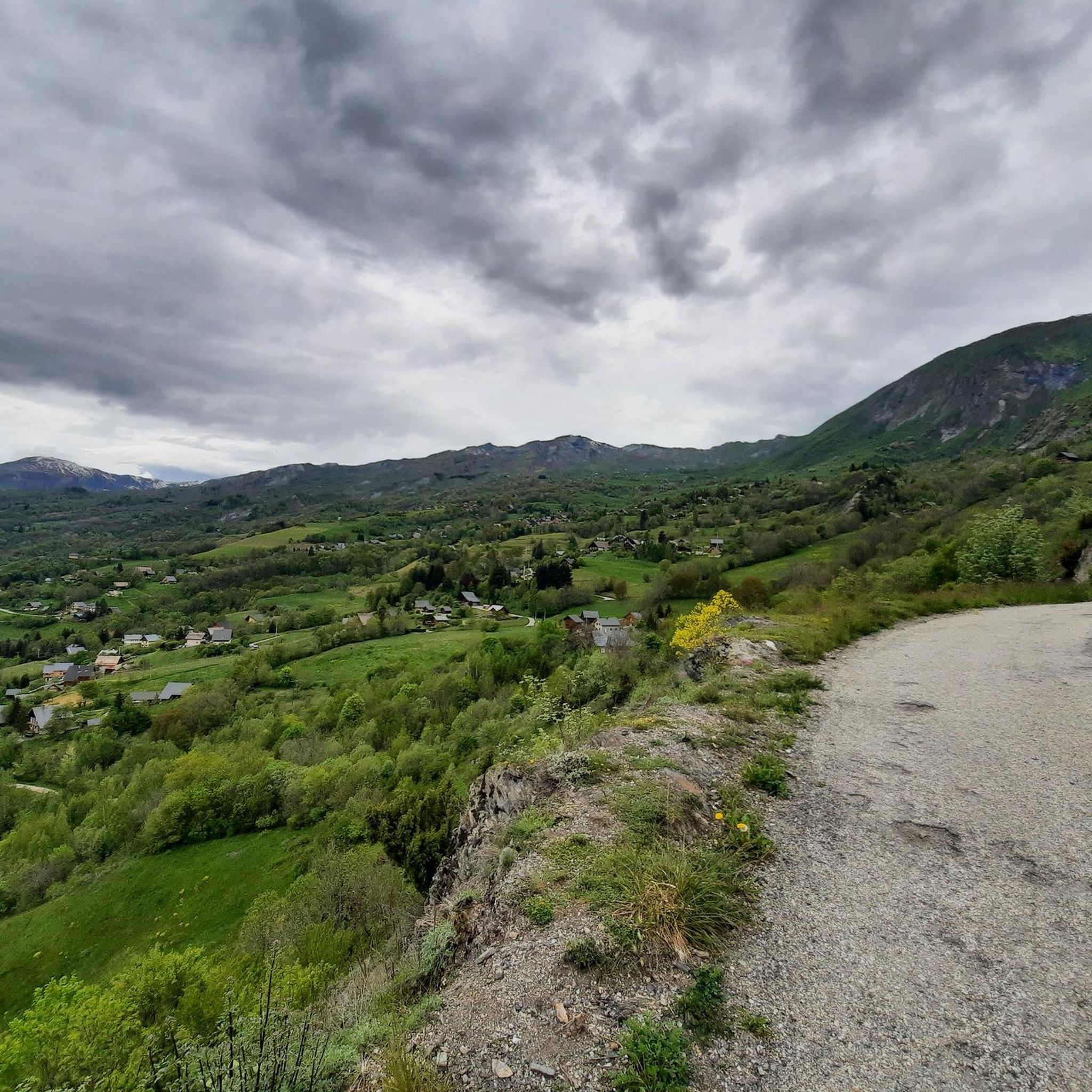
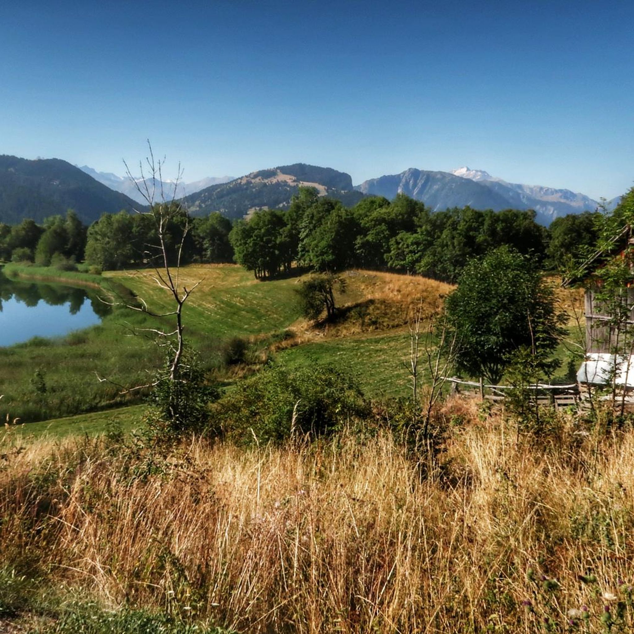
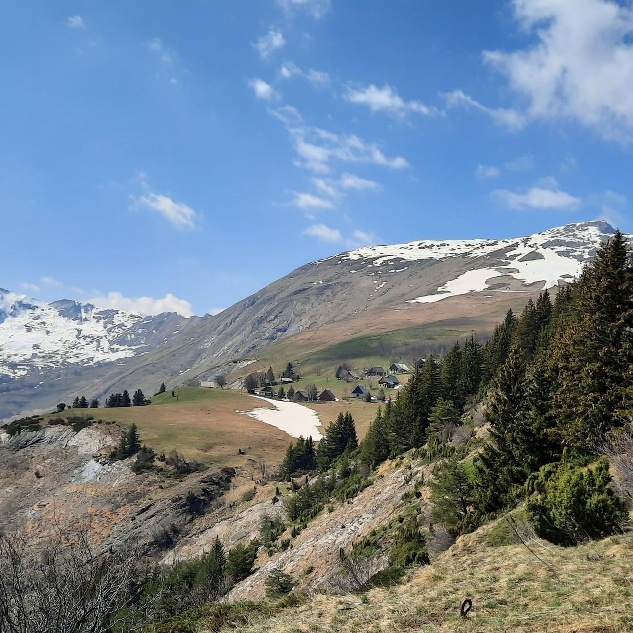


Tips from the Community

The climb is easy and worth the effort. Magnificent view. There's a picnic table...
0
0

The summit of La Toussuire, an hors catégorie climb famous as the climb on which Chris Froome attacked Bradley Wiggins on stage 11 of the 2012 Tour de France.
2
0
Frequently Asked Questions
How many running routes are available in Saint-Pancrace?
Saint-Pancrace offers a wide selection of running routes, with over 200 trails available for exploration. These range from easy paths to very challenging ascents, catering to all fitness levels.
What kind of terrain can I expect on the running trails around Saint-Pancrace?
The terrain around Saint-Pancrace is predominantly mountainous, featuring diverse landscapes. You can expect to run through lush forests, across alpine meadows, and along paths offering panoramic views of the Aiguilles d'Arves and the Sybelles ski domain. Routes vary from gentle paths to trails with significant elevation gains.
Are there running routes suitable for beginners in Saint-Pancrace?
Yes, Saint-Pancrace has routes suitable for beginners. While many trails involve mountainous terrain, there are 6 easy routes and 63 moderate routes that offer a less strenuous experience, perfect for those new to trail running or looking for a more relaxed jog.
What scenic viewpoints or landmarks can I discover while running in Saint-Pancrace?
Many running routes in Saint-Pancrace offer breathtaking views. You might encounter the unique Montvernier Hairpins, or pass by various mountain passes such as Col du Chaussy or Col de la Croix de Fer, which provide magnificent panoramas of the surrounding Alps.
Are there any challenging running trails for experienced runners?
Absolutely. For experienced runners seeking a challenge, Saint-Pancrace boasts 142 difficult routes. Trails like The Three Crosses loop from La Simianaz, which is 7.9 miles (12.8 km) with significant elevation gain, offer a rigorous workout amidst stunning mountain scenery.
Can I find circular running routes in Saint-Pancrace?
Yes, many of the running routes in Saint-Pancrace are circular, allowing you to start and finish at the same point. Examples include The 3 Crosses – The Three Crosses loop from Fontcouverte-la-Toussuire and The Three Crosses loop from Saint-Pancrace, providing convenient options for your run.
Is parking available near the running trailheads in Saint-Pancrace?
While specific parking details vary by trailhead, Saint-Pancrace and its surrounding villages generally offer parking options. For routes starting from specific locations like La Simianaz or Fontcouverte-la-Toussuire, you'll typically find designated parking areas nearby. It's always a good idea to check the route details on komoot for specific starting points.
Can I bring my dog on the running routes in Saint-Pancrace?
Many trails in the Auvergne-Rhône-Alpes region are dog-friendly, allowing you to enjoy a run with your canine companion. However, it's advisable to check local regulations, especially within protected areas like the Parc Naturel Régional du Massif des Bauges, and always keep your dog on a leash where required.
What do other runners say about their experience in Saint-Pancrace?
The running routes in Saint-Pancrace are highly rated by the komoot community, with an average score of 4.4 stars from over 40 reviews. Runners often praise the diverse terrain, the stunning panoramic views, and the well-maintained trail networks that cater to various skill levels.
Are there any routes that offer a good mix of challenge and scenic beauty?
Absolutely. Many routes combine a satisfying physical challenge with incredible scenery. For instance, Les Trois Croix Sculpture – La Toussuire Summit loop from Bottières Four is a difficult 9.8-mile (15.7 km) route that rewards your effort with spectacular views and interesting landmarks.
What is the best time of year to go jogging in Saint-Pancrace?
The best time for jogging in Saint-Pancrace is typically from spring through autumn. During these seasons, the weather is milder, and the trails are generally clear of snow, allowing for comfortable running amidst the lush landscapes and vibrant alpine flora. Winter running is possible but may require specialized gear due to snow and ice.
Most popular routes around Saint-Pancrace
Most popular attractions around Saint-Pancrace

Get inspired with the komoot mobile app


Explore more
Browse the best Running Trails & Routes in other regions.
