The best mountain hikes around Nesselwängle
4.8
(387)
2,511
hikers
33
hikes
Mountaineering around Nesselwängle, situated in the Tannheimer Valley, features diverse alpine landscapes characterized by prominent limestone peaks such as Rote Flüh and Gimpel. The region is part of the Allgäu Alps and Tannheimer Mountains, offering a mix of challenging rock faces and high-altitude trails. This area provides varied terrain for mountaineering, including steep ascents and ridge walks.
Best mountaineering routes around Nesselwängle
- The most popular mountaineering route is Gimpelhaus – View of Rote Flüh and Gimpel loop from Nesselwängle,…
Last updated: October 12, 2026
4.7
(125)
783
hikers
9.33km
05:17
940m
940m
Hard mountaineering route. Very good fitness required. Sure-footedness, sturdy shoes and alpine experience required.
4.9
(80)
483
hikers
12.7km
06:21
930m
930m
Hard mountaineering route. Very good fitness required. Sure-footedness, sturdy shoes and alpine experience required.

4.6
(24)
159
hikers
18.1km
08:04
1,110m
1,110m
Hard mountaineering route. Very good fitness required. Sure-footedness, sturdy shoes and alpine experience required.
4.6
(11)
193
hikers
Moderate mountaineering route. Good fitness required. Mostly accessible paths. Sure-footedness required.
4.8
(20)
157
hikers
15.0km
05:36
850m
850m
Hard mountaineering route. Very good fitness required. Sure-footedness, sturdy shoes and alpine experience required.
Get access to more routes and recommendations from other explorers.
Already have an account?
Our route recommendations are based on thousands of hikes, rides, and runs completed by other people on komoot.
Start today with a free account
Your next adventure awaits.
Popular around Nesselwängle
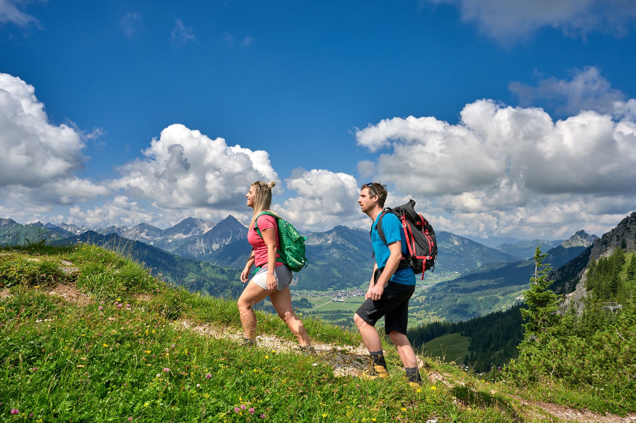
Beautiful alpine hikes with mountain huts in Austria’s Tannheimer Tal
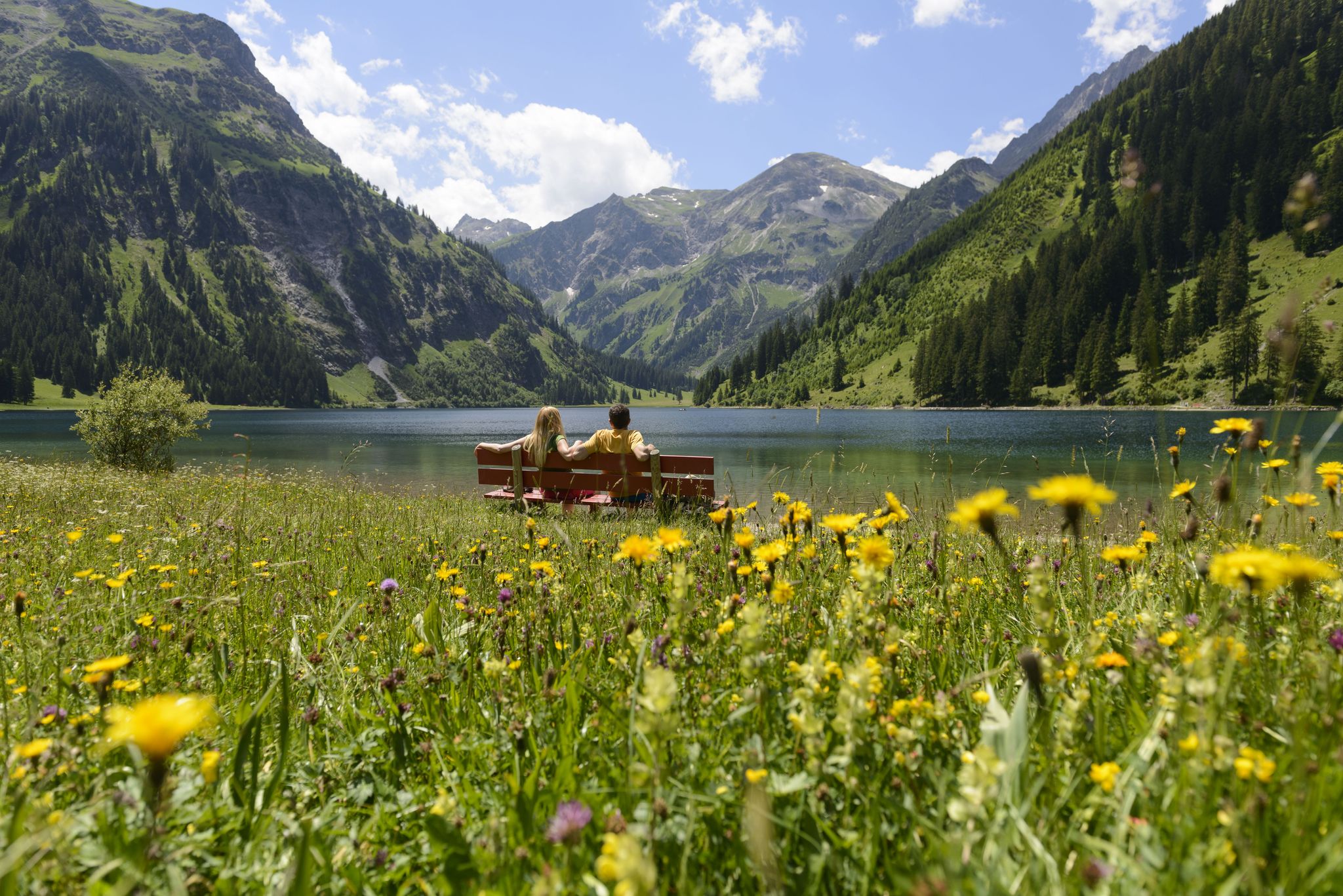
Summits, lakes & pleasure — Hiking in the Tannheimer Valley
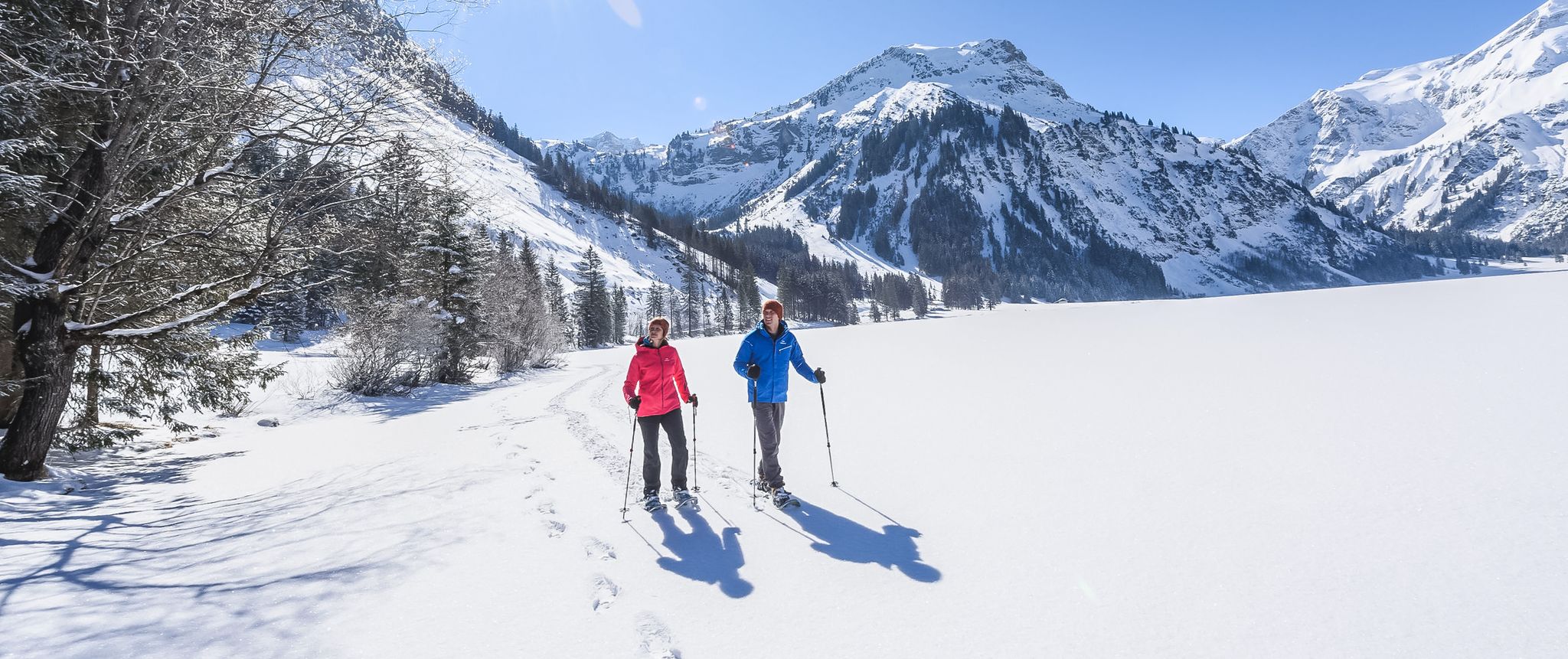
Mountains, snow & a clear blue sky – winter hikes in the Tannheimer Valley
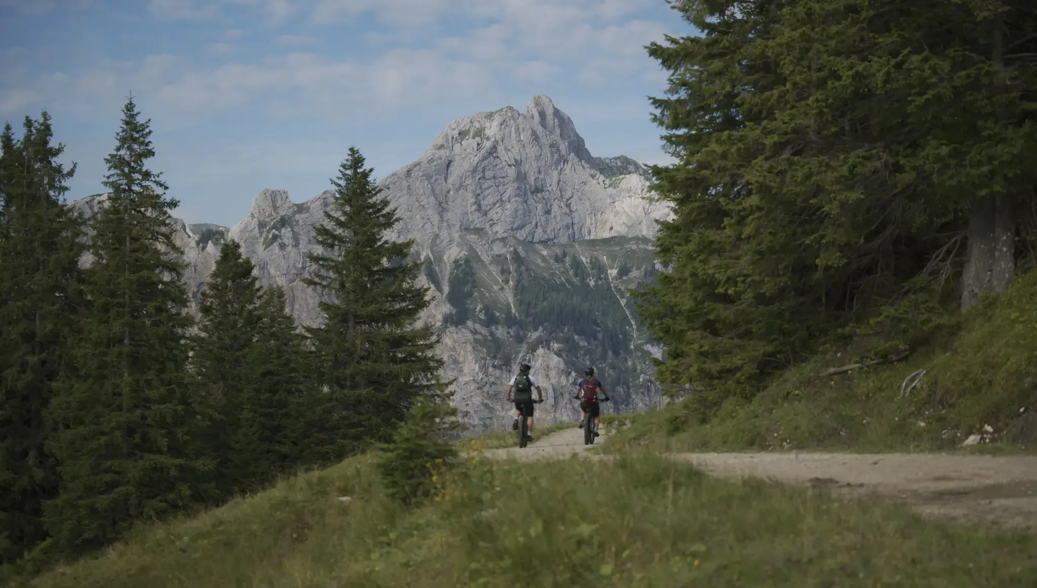
Fünf Arten, das Tannheimer Tal auf zwei Rädern zu erkunden
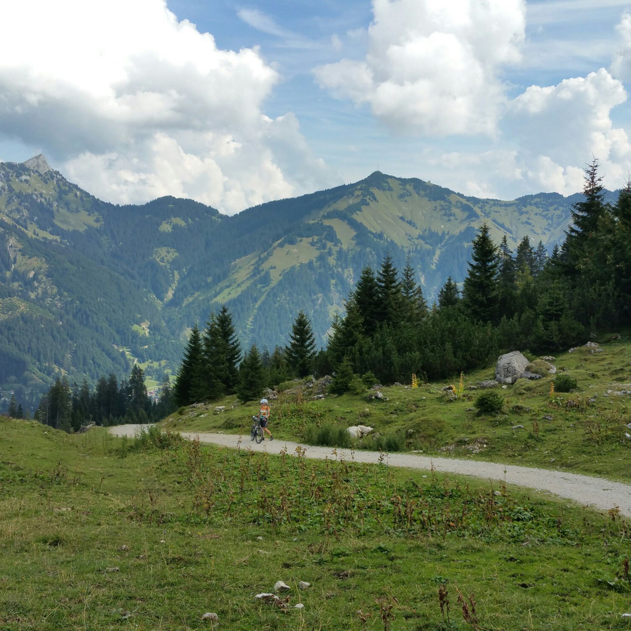
Hiking around Nesselwängle
Road Cycling Routes around Nesselwängle
Cycling around Nesselwängle
MTB Trails around Nesselwängle
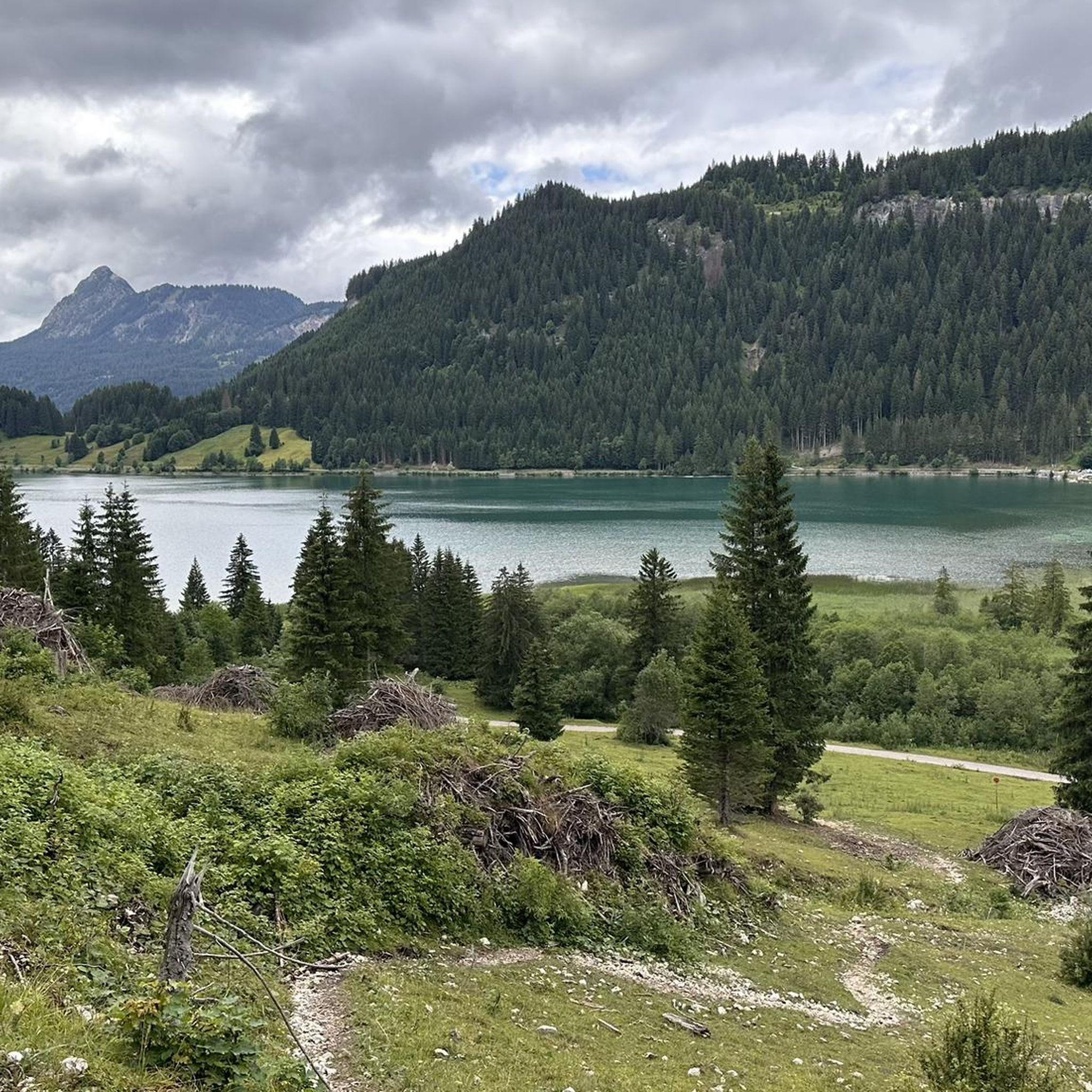
Running Trails around Nesselwängle
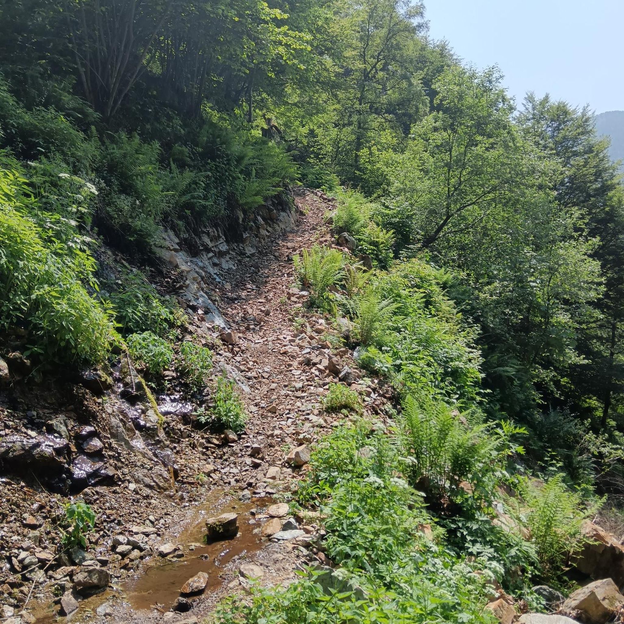
Gravel biking around Nesselwängle
Other adventures around Nesselwängle

Tips from the Community

Exposed ridge path (T4). Sure-footedness and a head for heights absolutely essential. Absolutely do not attempt in wet conditions. Danger of falling! Otherwise, a very impressive and varied ridge path.
0
0

Broad grassy pass with open views in both directions - a nice spot to catch your breath before the next climb. Can be windy up here, so bring an extra layer.
0
0

The Tannheimer Hütte is absolutely recommendable.
1
0

Romantic at sunset. A headlamp is recommended, as the descent goes through dense forests.
0
0

The trail is easy to walk even without poles. You don't have to constantly climb over sticks and stones and roots.
0
0

View from the Rote Flüh to the Gimpel. It's best to go down a few steps for a snack. There are fewer flying ants there.
0
0
Many different climbing options
0
0
On the way to or from the Tannheimer Hut. A bench with a particularly beautiful view.
0
0
Frequently Asked Questions
What types of mountaineering routes can I find around Nesselwängle?
Nesselwängle, nestled in the Tannheimer Valley, offers a diverse range of mountaineering experiences. You'll find routes that traverse prominent limestone peaks like Rote Flüh and Gimpel, as well as high-altitude trails within the Allgäu Alps and Tannheimer Mountains. The region is known for its varied terrain, including steep ascents and ridge walks, catering to both moderate and difficult ability levels.
How many mountaineering routes are available in Nesselwängle?
There are over 35 mountaineering routes available around Nesselwängle on komoot, offering a wide selection for different preferences and skill levels. These include 10 moderate and 25 difficult routes, ensuring a suitable challenge for most mountaineers.
What are the typical difficulty levels for mountaineering routes in this region?
Mountaineering routes around Nesselwängle are generally categorized as moderate to difficult. The region's limestone rock faces and alpine terrain mean that many tours involve significant elevation gain and challenging sections, making them suitable for experienced hikers and mountaineers.
Are there any circular mountaineering routes in Nesselwängle?
Yes, Nesselwängle offers several excellent circular mountaineering routes. For instance, the Gimpelhaus – View of Rote Flüh and Gimpel loop from Nesselwängle is a difficult 8.1 km trail, and the Tannheimer Hut Ridge Trail – Gimpelhaus loop from Nesselwängle provides a longer 13.1 km option with panoramic ridge sections.
What kind of natural attractions or viewpoints can I expect to see along the routes?
The region around Nesselwängle is rich in natural beauty and offers stunning viewpoints. You can enjoy breathtaking views of the Tannheim Mountains, including peaks like Rote Flüh and Gimpel. Highlights include the View of Aggenstein and the Füssener Jöchle Viewpoint. The nearby Lake Haldensee also provides tranquil settings and beautiful mountain vistas.
Are there any interesting landmarks or historical sites near the mountaineering trails?
Beyond the natural beauty, you can find some interesting landmarks. The Old Gaicht Pass is a historical mountain pass in the vicinity. For those interested in unique geological features, the Nesselwängler Scharte area features rock formations like the 'Seven Dwarfs' and 'Hinkelstein'.
What do other mountaineers say about the routes in Nesselwängle?
The mountaineering routes in Nesselwängle are highly regarded by the komoot community, holding an impressive average rating of 4.8 stars from over 400 reviews. More than 2800 mountaineers have used komoot to explore this varied terrain, often praising the challenging ascents, panoramic views, and well-maintained trails.
Are there any family-friendly climbing options in Nesselwängle?
While many mountaineering routes are challenging, Nesselwängle does offer family-friendly climbing alternatives. The Climbing Forest Tannheimer Tal provides seven courses of varying difficulty, including a demanding 'Köllenspitze' course and a large Flying Fox, making it a great option for families and those new to climbing.
What is the best time of year for mountaineering in Nesselwängle?
The best time for mountaineering in Nesselwängle typically spans from late spring to early autumn. The south faces of Gimpel and its companions offer good climbing conditions early in the year. The Tannheimer Valley is recognized as Austria's 'Hiking destination of the Year', indicating favorable conditions throughout the warmer months.
Are there mountain huts available for rest or overnight stays along the routes?
Yes, several mountain huts serve as excellent bases or stops for longer tours in the Nesselwängle area. Notable huts include the Gimpelhaus, Otto-Mayr-Hütte, Füssener Hütte, and Tannheimer Hütte, providing opportunities to rest and enjoy the alpine environment.
Can I reach the mountaineering routes using public transport?
The region around Nesselwängle is generally well-connected, and public transport options are available to reach the Tannheimer Valley. It's advisable to check local bus schedules for specific routes to trailheads, as services can vary depending on the season.
Are there options for more challenging, high-alpine mountaineering?
Absolutely. For experienced mountaineers seeking a significant challenge, routes like the Gehrenspitze Summit Cross – Schneidspitze loop from Nesselwängle offer high alpine terrain and can take around 8 hours to complete. The region also boasts demanding alpine multi-pitch tours and four via ferratas, including those on Rote Flüh and Köllenspitze.
Most popular routes around Nesselwängle
Most popular attractions around Nesselwängle

Get inspired with the komoot mobile app


Explore more
Browse the best Mountain Hikes & Routes in other regions.
