The best MTB trails around Nesselwängle
4.6
(8838)
34,156
riders
204
rides
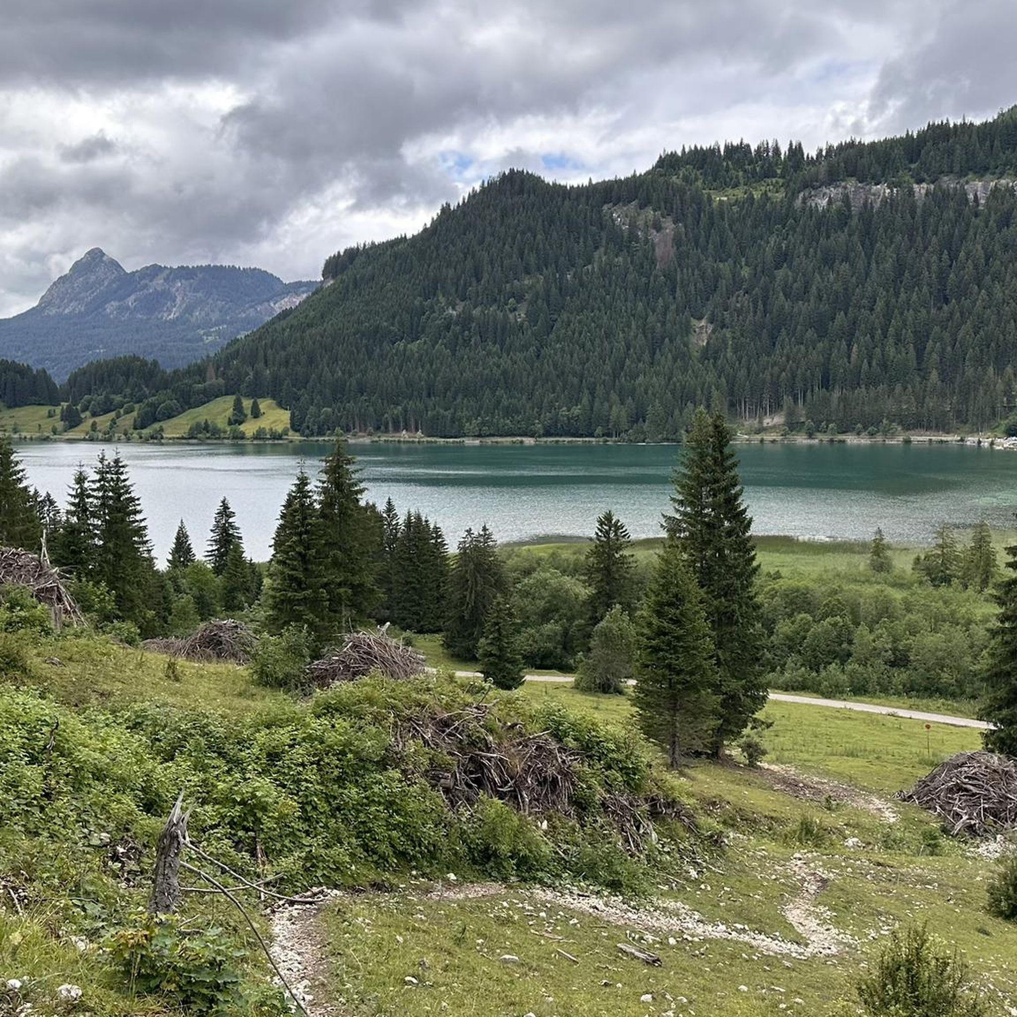
Mountain biking around Nesselwängle offers diverse terrain within the picturesque Tannheimer Tal valley in Tyrol, Austria. The region is characterized by impressive alpine peaks like Rote Flüh and Gimpel, providing a dramatic backdrop for routes. Mountain bikers navigate through a landscape featuring crystal-clear mountain lakes such as Haldensee and Vilsalpsee, alongside extensive forests and open valley sections. This blend of challenging alpine ascents and more relaxed valley paths caters to a range of mountain biking abilities.
Best mountain bike trails…
Last updated: September 30, 2026
4.8
(675)
2,317
riders
37.5km
02:25
430m
430m
Moderate mountain bike ride. Good fitness required. Suitable for all skill levels.
4.7
(125)
494
riders
41.3km
02:35
420m
420m
Moderate mountain bike ride. Good fitness required. Suitable for all skill levels.

4.5
(49)
199
riders
15.3km
01:13
330m
330m
Hard mountain bike ride. Good fitness required. Advanced riding skills necessary. Some portions of the route may require you to push your bike.
4.8
(35)
140
riders
63.0km
03:54
700m
700m
Moderate mountain bike ride. Good fitness required. Suitable for all skill levels.
4.7
(20)
74
riders
22.4km
01:26
230m
230m
Easy mountain bike ride. Great for any fitness level. Suitable for all skill levels.
Get access to more routes and recommendations from other explorers.
Already have an account?
Our route recommendations are based on thousands of hikes, rides, and runs completed by other people on komoot.
Start today with a free account
Your next adventure awaits.
Popular around Nesselwängle
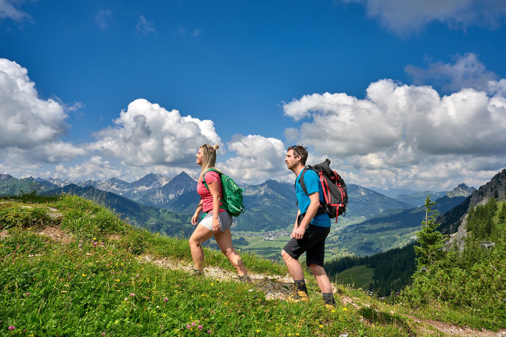
Beautiful alpine hikes with mountain huts in Austria’s Tannheimer Tal
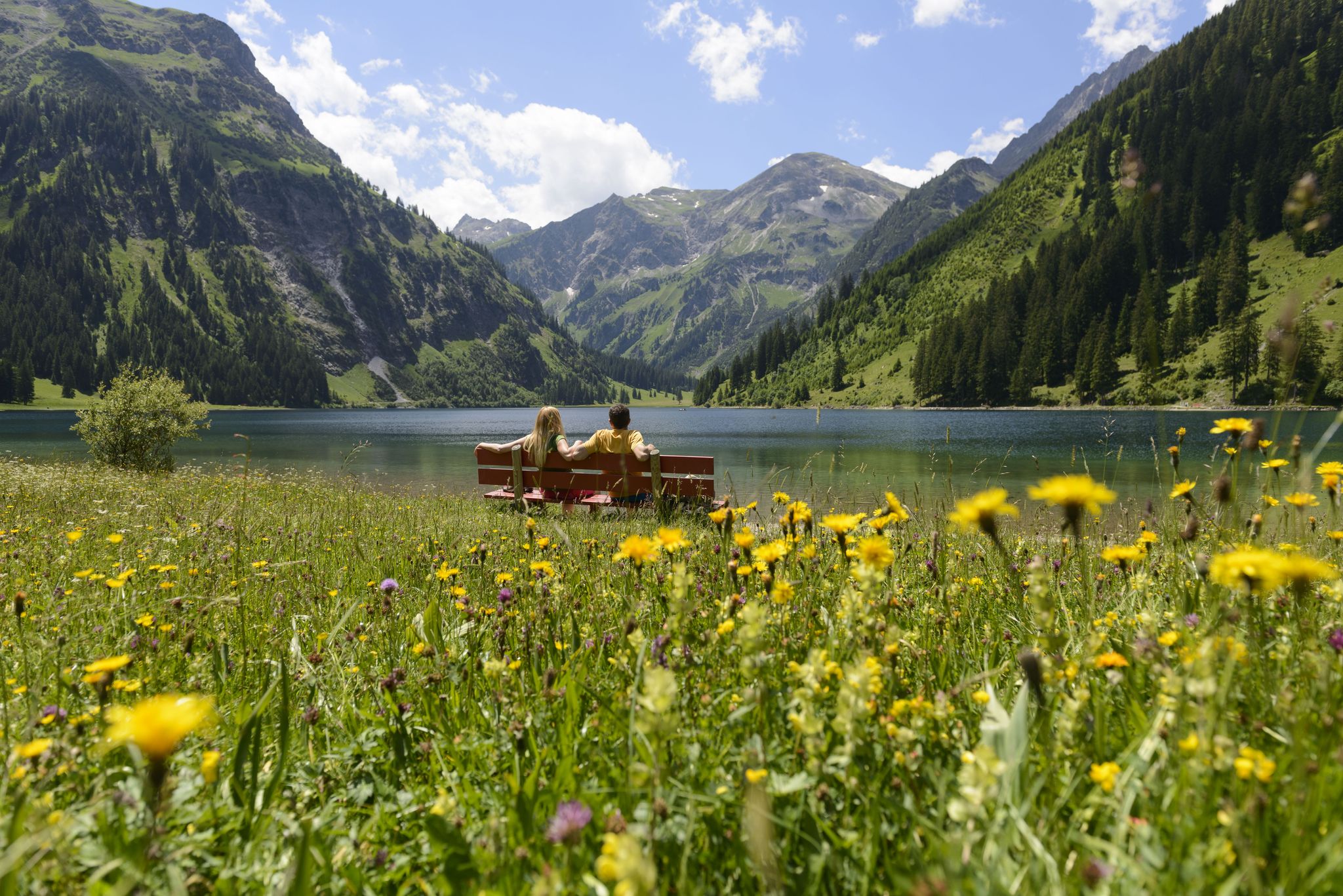
Summits, lakes & pleasure — Hiking in the Tannheimer Valley
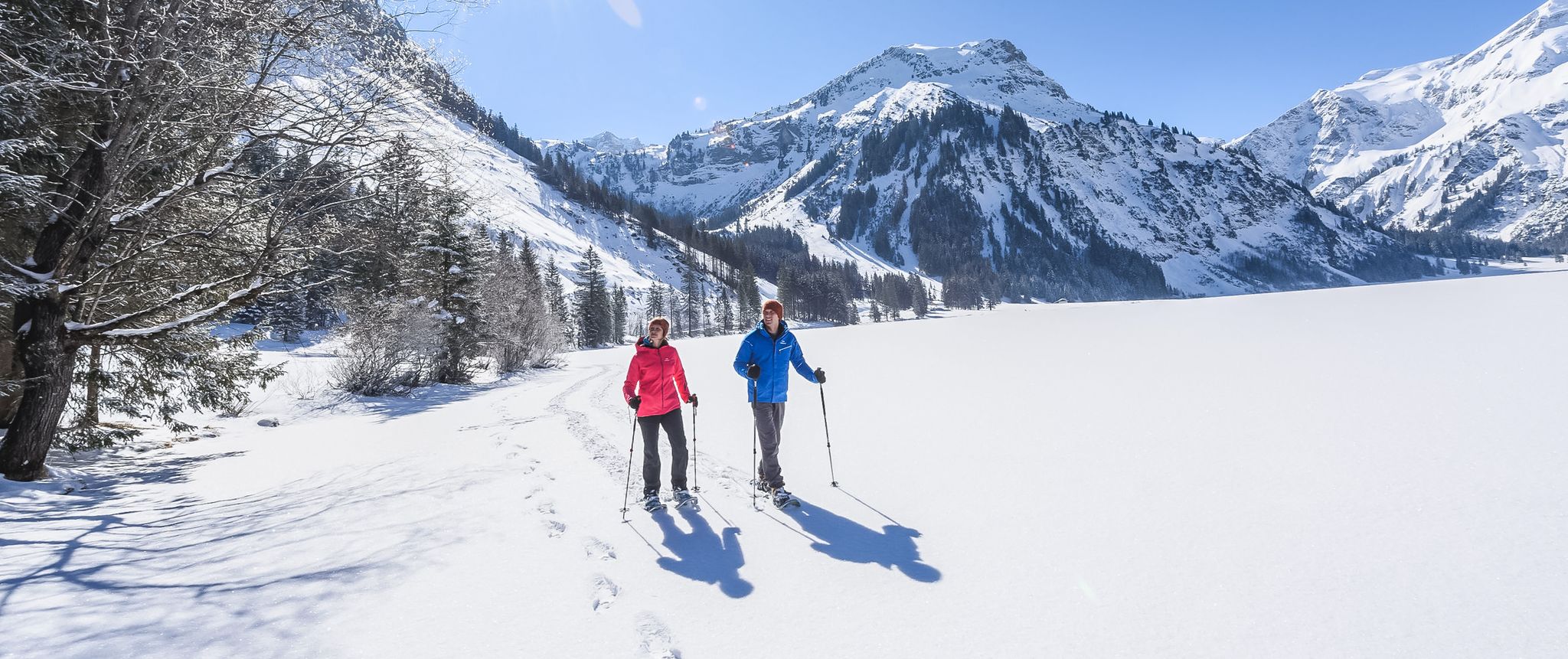
Mountains, snow & a clear blue sky – winter hikes in the Tannheimer Valley
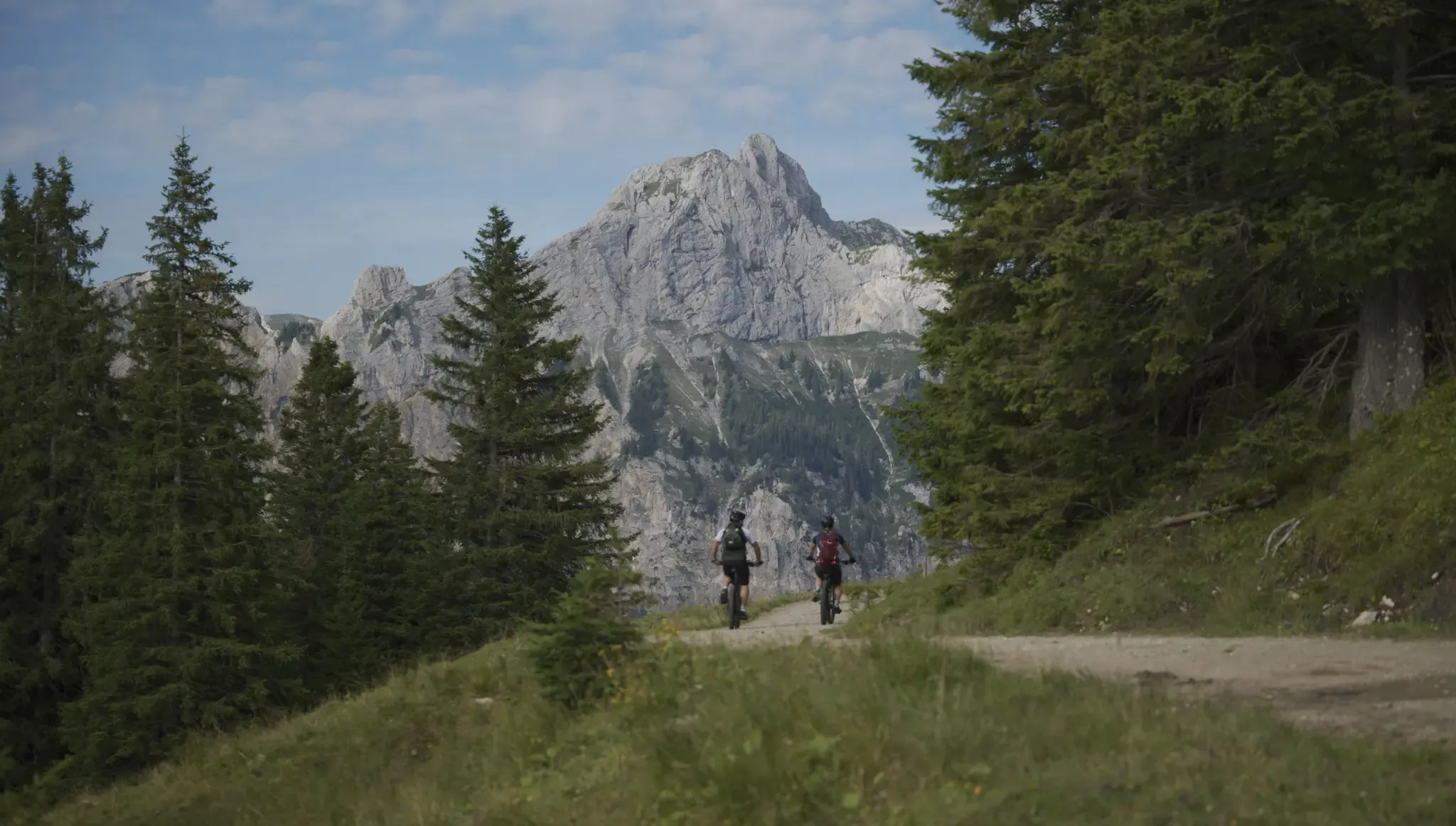
Fünf Arten, das Tannheimer Tal auf zwei Rädern zu erkunden
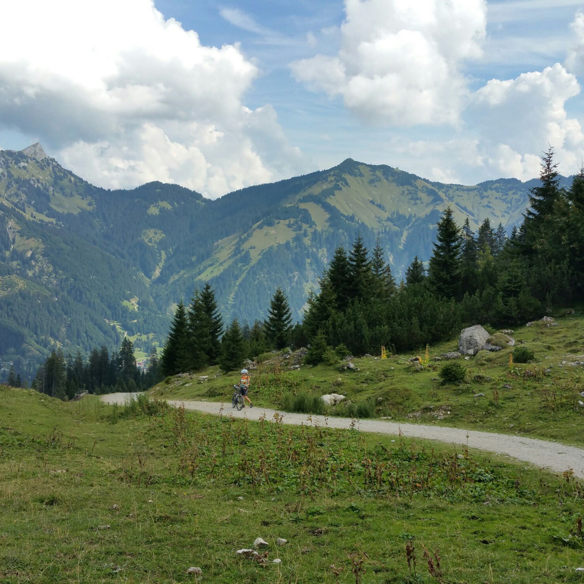
Hiking around Nesselwängle
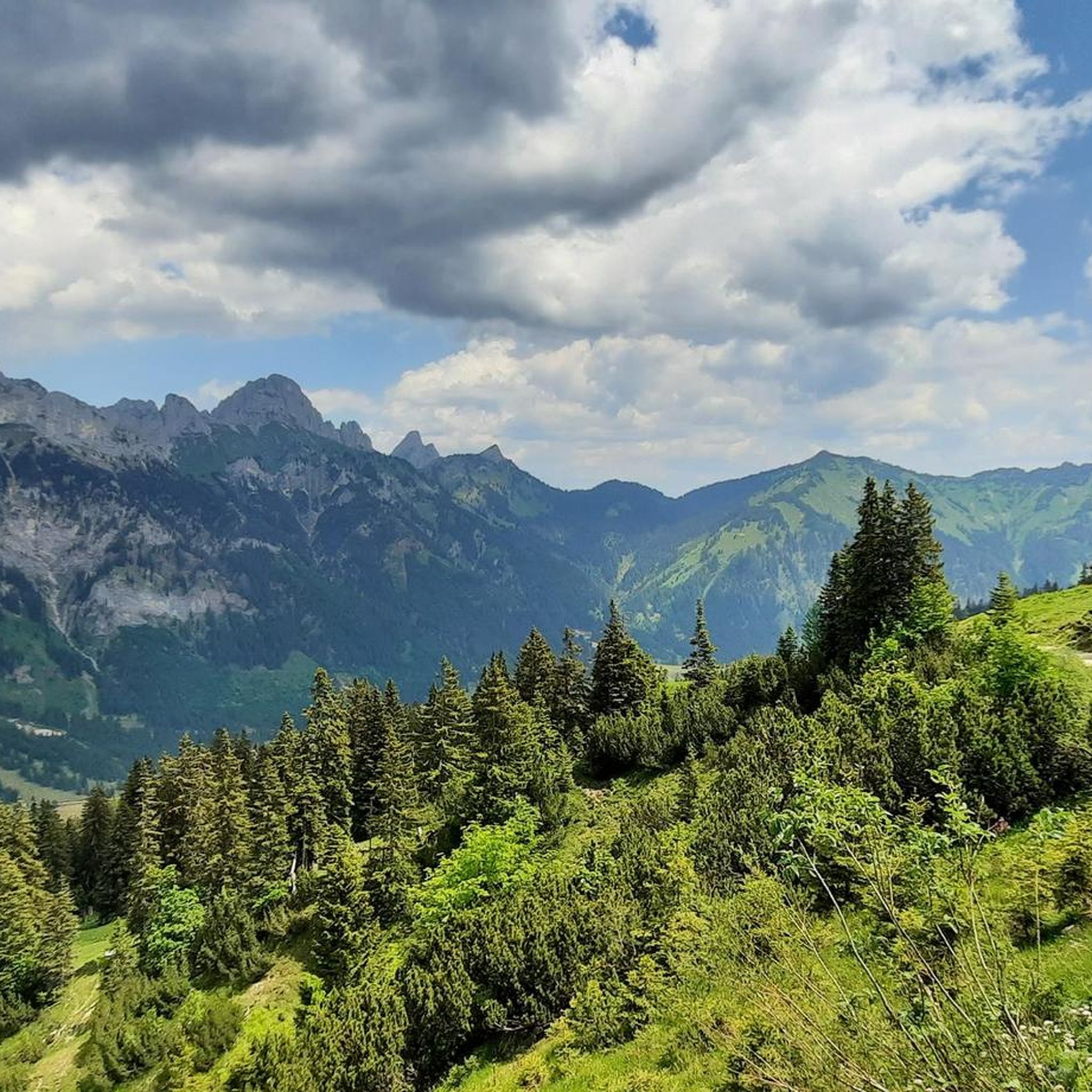
Road Cycling Routes around Nesselwängle
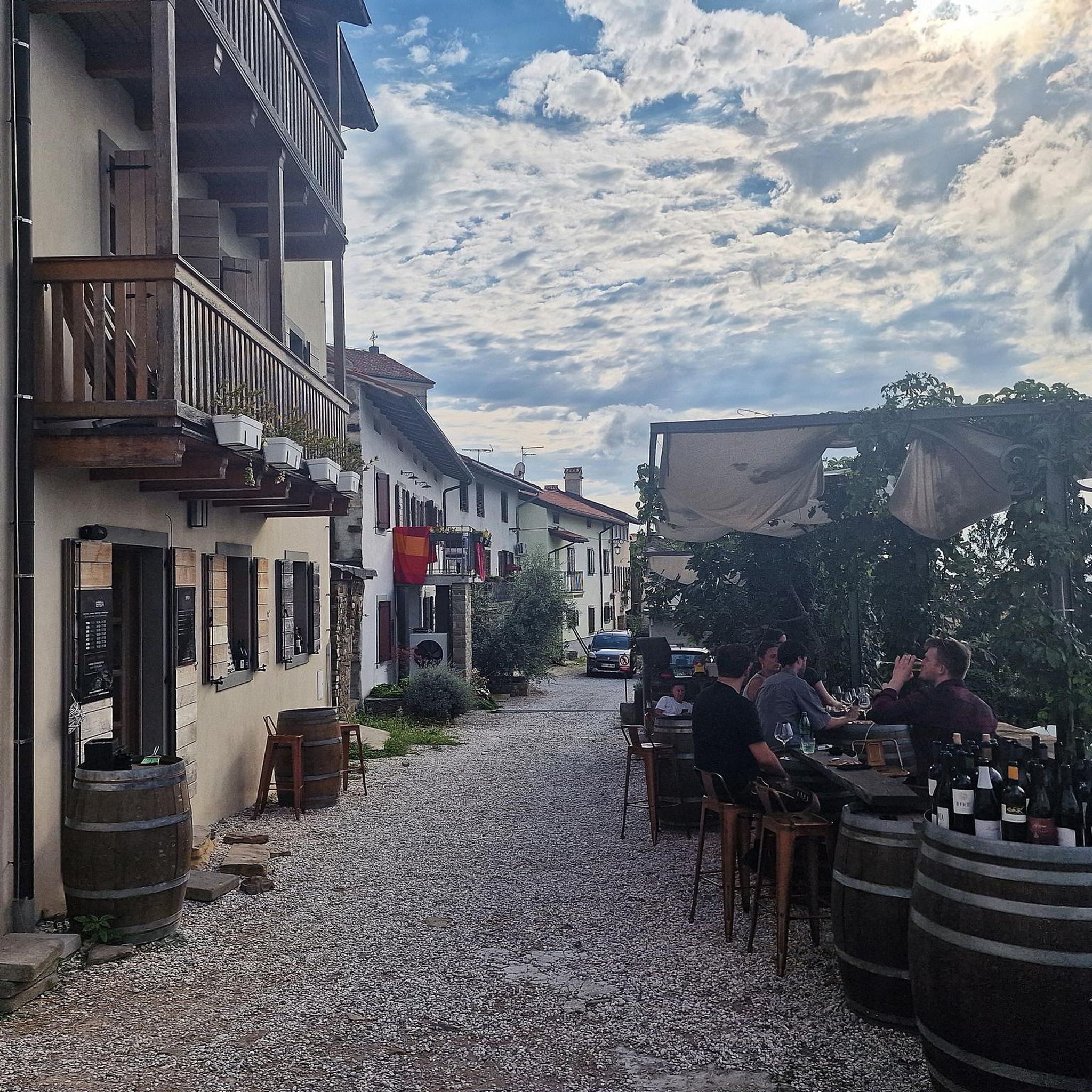
Mountain Hikes around Nesselwängle
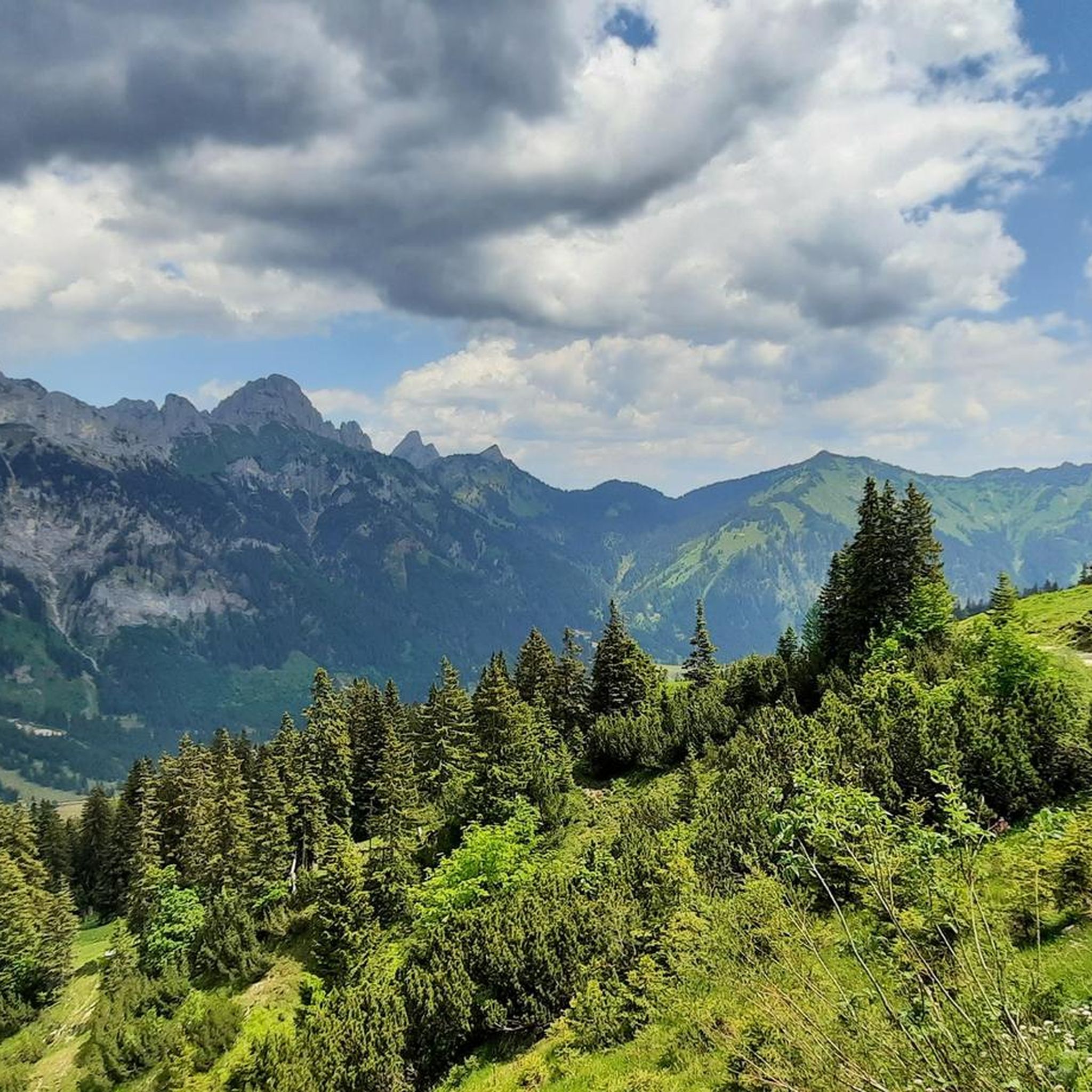
Cycling around Nesselwängle
Running Trails around Nesselwängle
Gravel biking around Nesselwängle
Other adventures around Nesselwängle

Tips from the Community

From Pfronten, great bike and hiking tours can be organized.
0
0
Auch mit wenig Wasser (im Oktober) sehr schön anzusehen.
0
0

No matter where you look at the lake from, it is simply very beautiful to look at, just like the surroundings.
0
0
Endless panorama and it gets better with every meter.
0
0
Nice view from here, but a bit hidden.
0
0
Beautiful spot for a view of the lake
0
0

A very beautiful valley with many recreational opportunities
0
0
Frequently Asked Questions
How many mountain bike trails are available around Nesselwängle?
Nesselwängle offers an extensive network of over 200 mountain bike trails. These routes cater to various skill levels, from easy valley paths to challenging alpine ascents.
What is the general difficulty level of mountain bike trails in Nesselwängle?
The trails around Nesselwängle provide a diverse range of difficulties. You'll find 78 easy routes, 103 moderate routes, and 44 difficult routes, ensuring options for all experience levels. The region is known for its blend of challenging alpine terrain and more relaxed valley routes.
Are there any family-friendly mountain bike trails in Nesselwängle?
Yes, Nesselwängle offers several family-friendly options. For instance, the Tannheimer Tal Cycle Route (R10) is a pleasant 19.5 km path that starts in Nesselwängle and winds through the valley, passing scenic spots like Lake Haldensee. The Kneipp circular route in Nesselwängle is also suitable for families.
What natural features or landmarks can I expect to see while mountain biking in Nesselwängle?
Mountain biking in Nesselwängle offers stunning views of the Tannheimer Tal valley, with impressive peaks like Rote Flüh and Gimpel. You'll encounter crystal-clear mountain lakes such as Lake Haldensee and Lake Vilsalp, which is considered one of Tyrol's most beautiful mountain lakes. The region is also home to the Lechfall waterfall.
What do other mountain bikers enjoy most about the trails in Nesselwängle?
The mountain bike trails around Nesselwängle are highly rated by the komoot community, with an average score of 4.6 stars from over 7,000 reviews. Riders often praise the diverse terrain, the stunning alpine scenery, and the well-maintained network of paths that cater to various skill levels.
Are there any easy mountain bike trails suitable for beginners?
Absolutely. Nesselwängle has 78 easy mountain bike routes. A good option is the Haldensee South Shore – Tannheim Valley loop from Haldensee, which is an easy 22.5 km route. The Tannheimer Tal Cycle Route (R10) is also a pleasant, less demanding option.
Are there any challenging mountain bike trails for experienced riders?
Yes, experienced riders can find 44 difficult routes around Nesselwängle. While specific challenging routes are numerous, the region offers demanding tours requiring fitness and mountain bike experience, such as routes leading to Raaz Alpe, and various singletrails for specialists.
What is the best time of year to go mountain biking in Nesselwängle?
The best time for mountain biking in Nesselwängle is generally from late spring through early autumn. During these months, the weather is most favorable, and the trails are clear of snow. In autumn, the mountains reflecting in the deep blue waters of Lake Haldensee offer particularly picturesque views.
Can I bring my dog on the mountain bike trails in Nesselwängle?
While the region is very dog-friendly for hiking, specific regulations for dogs on mountain bike trails can vary. It's always best to check local signage and respect nature reserves like the Vilsalpsee area. Ensure your dog is well-behaved and kept on a leash, especially on shared paths and near livestock.
Are there any circular mountain bike routes in the Nesselwängle area?
Yes, many routes around Nesselwängle are circular. For example, the View of the Vils Valley – Vils Valley Trail loop from Haldensee is a moderate 37.3 km circular trail. Another popular option is the Tannheimer Valley – View of Grän and Rote Flüh loop from Tannheim valley, a moderate 41.1 km loop.
What are some notable attractions near the mountain bike trails in Nesselwängle?
Beyond the trails, you can visit the Lechfall waterfall or the Falkenstein Castle Ruins. For adventure, there's a Climbing Forest (High Ropes Course) in Nesselwängle, and the "Wasserwelt Haldensee" bathing establishment offers relaxation by the lake.
Is there public transport or parking available near the trailheads?
Nesselwängle is well-situated within the Tannheimer Tal, which is accessible. While specific parking details for every trailhead are not provided, the region is set up for outdoor tourism, implying parking facilities are generally available. Public transport options within the valley can also help connect to various starting points.
Most popular routes around Nesselwängle
Most popular attractions around Nesselwängle

Get inspired with the komoot mobile app


Explore more
Browse the best MTB trails in other regions.
