Attractions and Places To See in Pilancones - Top 20
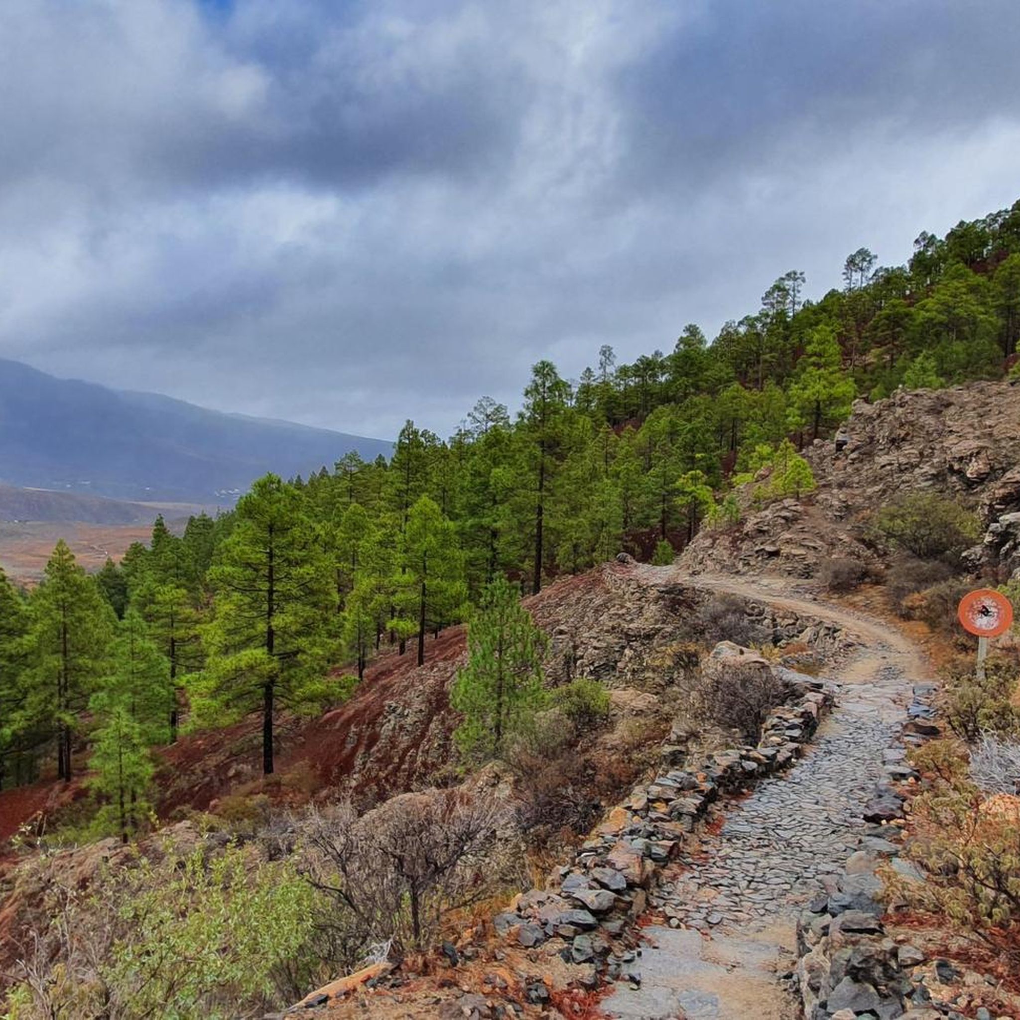
Best attractions and places to see in Pilancones Natural Park are characterized by a dramatic volcanic landscape and rich biodiversity in the southern half of Gran Canaria. Established as a protected area, the park features deep ravines, extensive pine forests, and significant ecological and cultural value. Its terrain, formed by volcanic eruptions, presents a rugged landscape of brown, sloping ravines and narrow interfluves. The park offers a diverse range of natural features and historical sites for exploration.
Best attractions and…
Last updated: June 23, 2026
Caminos Reales Hiking Trail (Cruz Grande to San Bartolomé)
Highlight (Segment) • Trail
Translated by Google •
Tip by

Ayagaures Dam
Highlight • Lake
Showing Translation
Tip by

Sign up now to discover places like this
Get recommendations on the best single tracks, peaks, & plenty of other exciting outdoor places.
Sign up for free
San Bartolomé–Ayacata Road
Highlight (Segment) • Cycleway
Tip by

Presa de La Gambuesa
Highlight • Lake
Translated by Google •
Tip by

Degollada de la Cruz Grande Viewpoint
Highlight • Viewpoint
Translated by Google •
Tip by
Sign up for free to discover even more attractions in Pilancones.
Sign up for free
Already have an account?
Start today with a free account
Your next adventure awaits.
Login or Signup


Tips from the Community

The 'presa' or reservoir of La Gambuesa is located at an altitude of approximately 330 meters above sea level and has a capacity of 47,000 cubic meters of water. The reservoir forms an inseparable whole with the Presa de la Angostura, sharing with it the watershed of the Barranco de Ayagaures and a landscape of exceptional ecological, scenic, and cultural value.
0
0

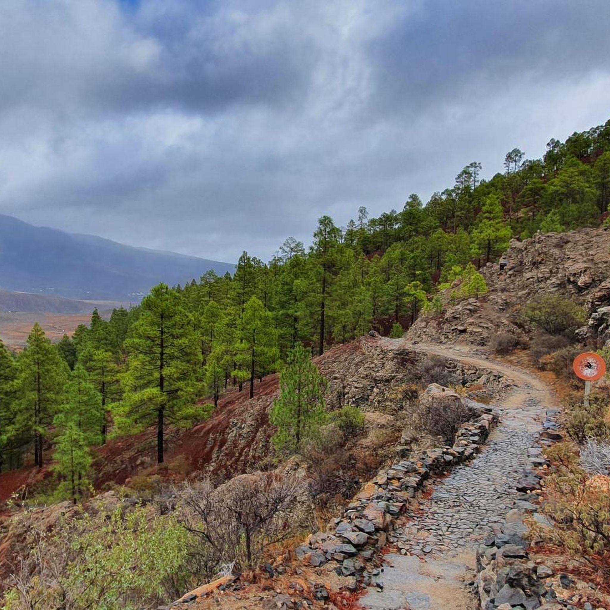
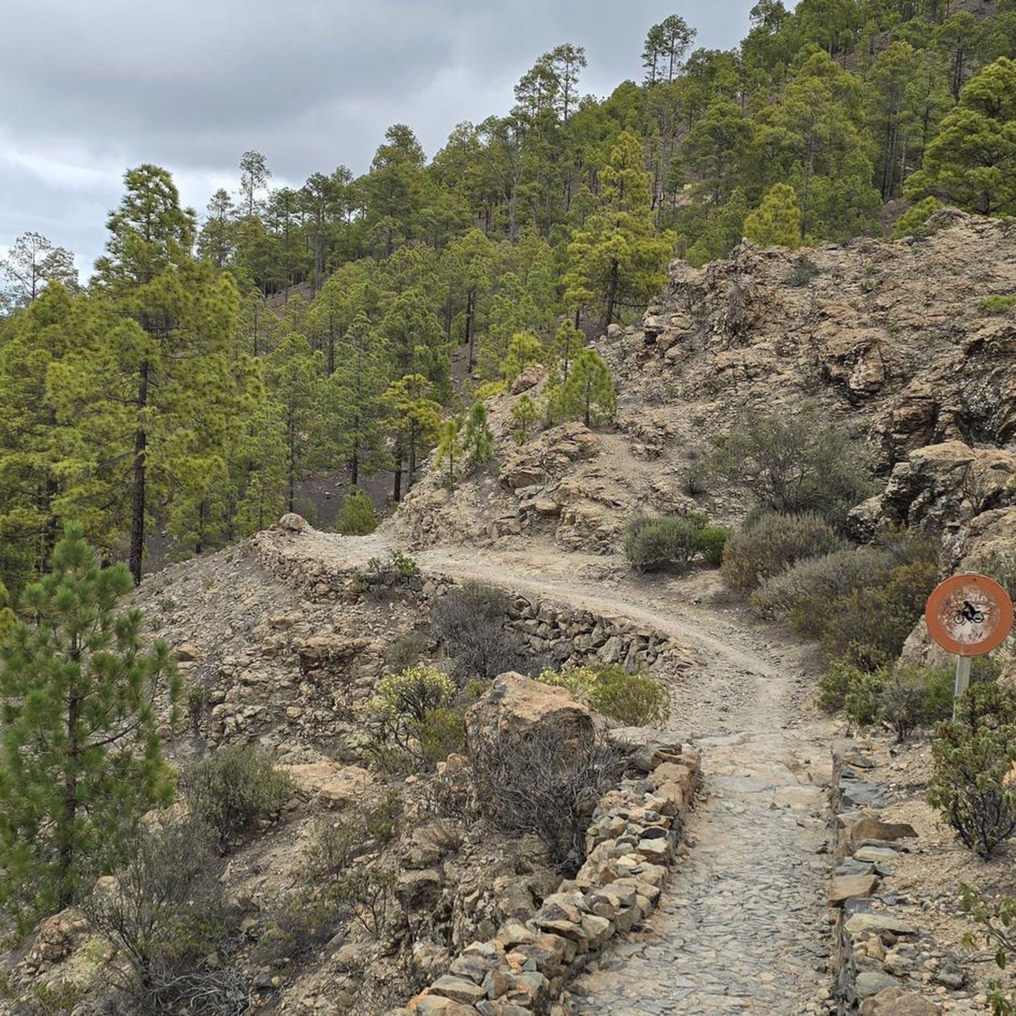
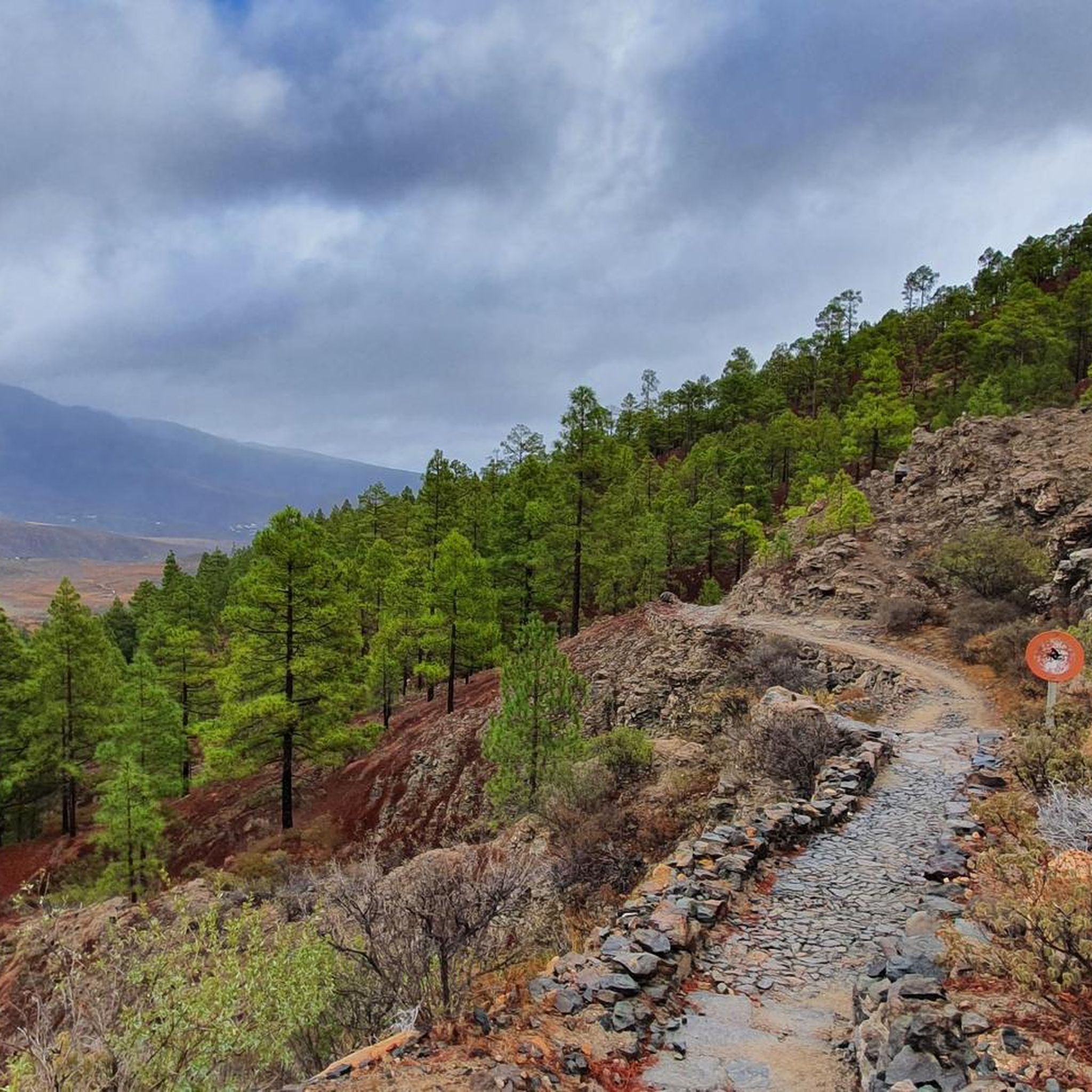
The entire route is freshly paved. A dream.
1
0

The hiking trail is great to walk and you have a great view of the mountains
0
0

The path would be very beautiful if it hadn't fallen into disrepair in many places. But it is certainly an eye-catcher. This is probably how Caminos Reales were designed in the Canary Islands in the old days.
0
0
Cruz Grande is an excellent starting point for many hikes.
1
0

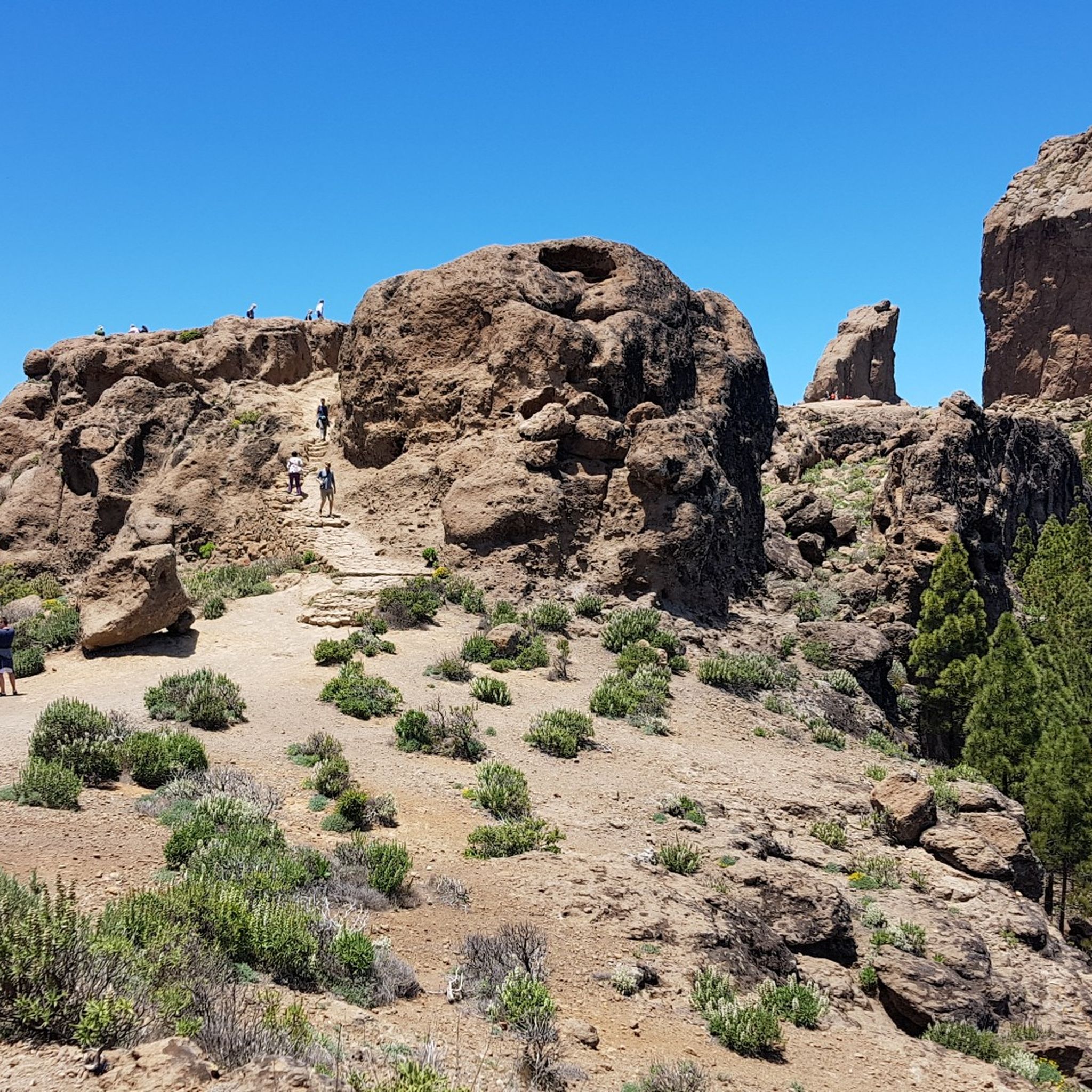
The Degollada (valley) of the Cruz Grande offers views of two different valleys. On one side you can see the Caldera de Tirajana, and on the other the Chira basin and the pine forest of Pilancones. This is where the paths from north to south cross. The main route is known as the Ruta de la Plata, and was formerly part of a cattle route for transhumance, as well as part of the Way of St. James in Gran Canaria. The oldest volcanic materials are clearly visible in the Caldera de Tirajana due to the effect of erosion, such as the vent "Risco Blanco" and the volcanic layers "Rompeserones" and "Sepultura del Gigante". The plateaus "El Sequero", "El Sitio" and "Los Llanos de Madrid" were formed by the sliding of volcanic materials. In the ravines are the archaeological sites of. "Rosiana", "Los Sitios" and "La Fortaleza de Ansite". In the fertile and cultivated valley you can see the remains of the former palm groves that originally grew here. The Canary Island pine is common in the upper region of the caldera and the slopes are a habitat for some native botanical rarities. In the upper region of Ayagaures is the natural park and pine grove, Parque Natural de Pilancones, which has a great geological and botanical landscape value. As for the flora of the area, the Canary Island pine plays a major role. A species of rockrose and a viper's bugloss are particularly noteworthy. The area is also a bird sanctuary for the native great spotted woodpecker and the finch. The area was declared a World Biosphere Reserve by UNESCO on 29 June 2005.
3
0

The Cruz Grande is a pass that lies at an altitude of 1249 meters. The saddle is also called Degollada de la Cruz Grande. From up there you can enjoy views of two different valleys. On one side you can see the Caldera de Tirajana and on the other side the Chira basin. Many old paths meet at the Cruz Grande, such as the Ruta de la Plata, which is also part of the Way of St. James in Gran Canaria. During your hike you will also come to the Cruz Grande. From there you descend on the Camino Real to San Bartolomé.
2
0
A beautifully laid out hiking trail!
6
0
Frequently Asked Questions
What natural features can I explore in Pilancones Natural Park?
Pilancones Natural Park is renowned for its rugged mountainous landscapes, deep ravines, and the significant Pilancones Pine Forest. You can also find serene blue waters of dams and reservoirs, such as the Ayagaures Dam, which add to the scenic beauty. The park is also home to diverse flora and fauna, including endemic bird species.
Are there any historical or cultural sites to visit in the park?
Yes, Pilancones Natural Park has significant historical value. It contains several pre-Hispanic ruins, most notably the archaeological site of the Guanche necropolis of Arteara. Isolated villages like Lomo de Pedro Alfonso also showcase well-preserved traditional farming practices within the park's limits.
What are the best hiking trails in Pilancones Natural Park?
The park offers a variety of hiking trails for different experience levels. A popular route is the Caminos Reales Hiking Trail from Cruz Grande to San Bartolomé, which is well-maintained and offers beautiful views. Other notable routes include the Pilancones - Tederas - Ayagaures trail and Llanos de La Pez-Cruz Grande. For more options, you can explore the many hiking routes available in the region.
Are there family-friendly activities or trails in Pilancones?
Absolutely! Many areas within Pilancones are suitable for families. The Caminos Reales Hiking Trail is considered family-friendly, and the Ayagaures Dam area is also a great spot for a family outing. Look for trails marked as 'family_friendly' for suitable options.
What kind of cycling routes can I find in Pilancones?
Pilancones offers excellent cycling opportunities, from scenic routes to challenging climbs. The Ayagaures Cycling Route provides a good mix of beautiful scenery and varied terrain. Another option is the San Bartolomé–Ayacata Road, known for its views and climbs. You can find more detailed cycling routes, including touring, MTB, and gravel biking, on the Cycling in Pilancones guide.
Where can I find the best viewpoints in Pilancones Natural Park?
The park's rugged terrain naturally offers numerous stunning viewpoints. Highlights like the Ayagaures Dam and the San Bartolomé–Ayacata Road are noted for their scenic vistas. Many hiking and cycling trails also lead to panoramic spots overlooking the ravines and mountains.
What wildlife can I expect to see in Pilancones?
Pilancones Natural Park is a Special Protection Area for Birds, making it an excellent spot for birdwatching. You might encounter endemic species such as the Gran Canaria woodpecker, blue chaffinch, and great spotted woodpecker. The park's diverse flora also supports various other fauna.
What are the options for mountain biking (MTB) in Pilancones?
Pilancones offers a range of mountain biking trails. You can find routes like the Cruz Grande Pass – Pico de la Manzanilla Pass loop or the Ayagaures Dam – View of Presa de Chira loop. For a comprehensive list of trails and their difficulties, refer to the MTB Trails in Pilancones guide.
Can I do gravel biking in Pilancones Natural Park?
Yes, gravel biking is a popular activity in Pilancones. There are routes such as the Road Through the Gorge – Unpaved Section of GC-604 loop. You can explore more options and detailed routes in the Gravel biking in Pilancones guide.
What is the terrain like for outdoor activities in Pilancones?
The terrain in Pilancones is generally rugged and mountainous, characterized by steep slopes and deep ravines. While some trails are well-maintained and suitable for intermediate users, others can be challenging with significant elevation changes. Roads like the GC-60 offer scenic drives through the landscape.
What do visitors enjoy most about Pilancones Natural Park?
Visitors frequently praise the stunning natural beauty, the tranquility of the dams like Ayagaures Dam, and the well-maintained hiking trails such as the Caminos Reales. The impressive landscapes and the opportunity for diverse outdoor activities, from easy walks to challenging bike rides, are also highly appreciated.
Most popular routes in Pilancones
Most popular attractions in Pilancones

Get inspired with the komoot mobile app


Explore more
Still not found the Highlight you’re looking for? See guides of the top attractions in other regions:
