The best gravel rides around Brañosera
5.0
(1)
23
riders
2
rides
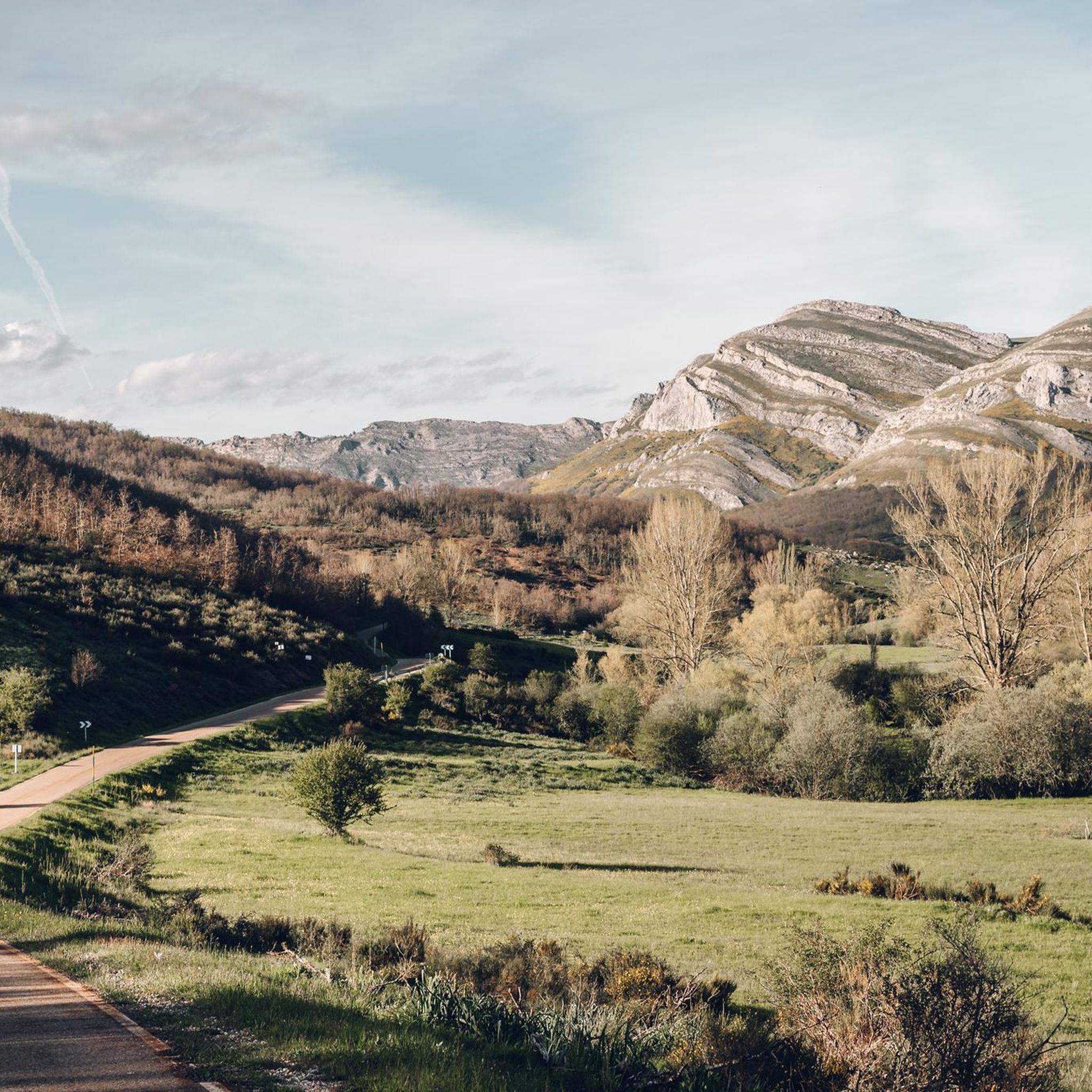
Gravel biking around Brañosera offers diverse and scenic landscapes within the Montaña Palentina Natural Park. The region features high mountain scenery, extensive deciduous forests of beech and oak, and sculpted river valleys. Varied terrain, including gravel tracks and dirt roads, provides a range of surfaces for cyclists. This area combines challenging stretches with picturesque routes through mountains and deep valleys.
Best gravel bike trails around Brañosera
- The most popular gravel bike trail is Salinas de Pisuerga Bridge – Hermitage of…
Last updated: July 11, 2026
5.0
(1)
11
riders
72.3km
05:20
1,010m
1,010m
Hard gravel ride. Very good fitness required. Mostly paved surfaces. Suitable for all skill levels.
6
riders
Hard gravel ride. Very good fitness required. Mostly paved surfaces. Suitable for all skill levels.

Sign up for free
3
riders
Hard gravel ride. Very good fitness required. You may need to push your bike for some segments of this route.
2
riders
30.8km
02:15
220m
220m
Hard gravel ride. Good fitness required. You may need to push your bike for some segments of this route.
1
riders
Hard gravel ride. Very good fitness required. Mostly paved surfaces. Suitable for all skill levels.
Our route recommendations are based on thousands of hikes, rides, and runs completed by other people on komoot.
Start today with a free account
Your next adventure awaits.
Login or Signup
Tips from the Community

It is a small bridge that crosses the waters of the Rubagón river. On one side there is a clearing with information panels. A perfect spot for a short stop on your route.
0
0


In the Plaza de España, the nerve centre of the town.
1
0
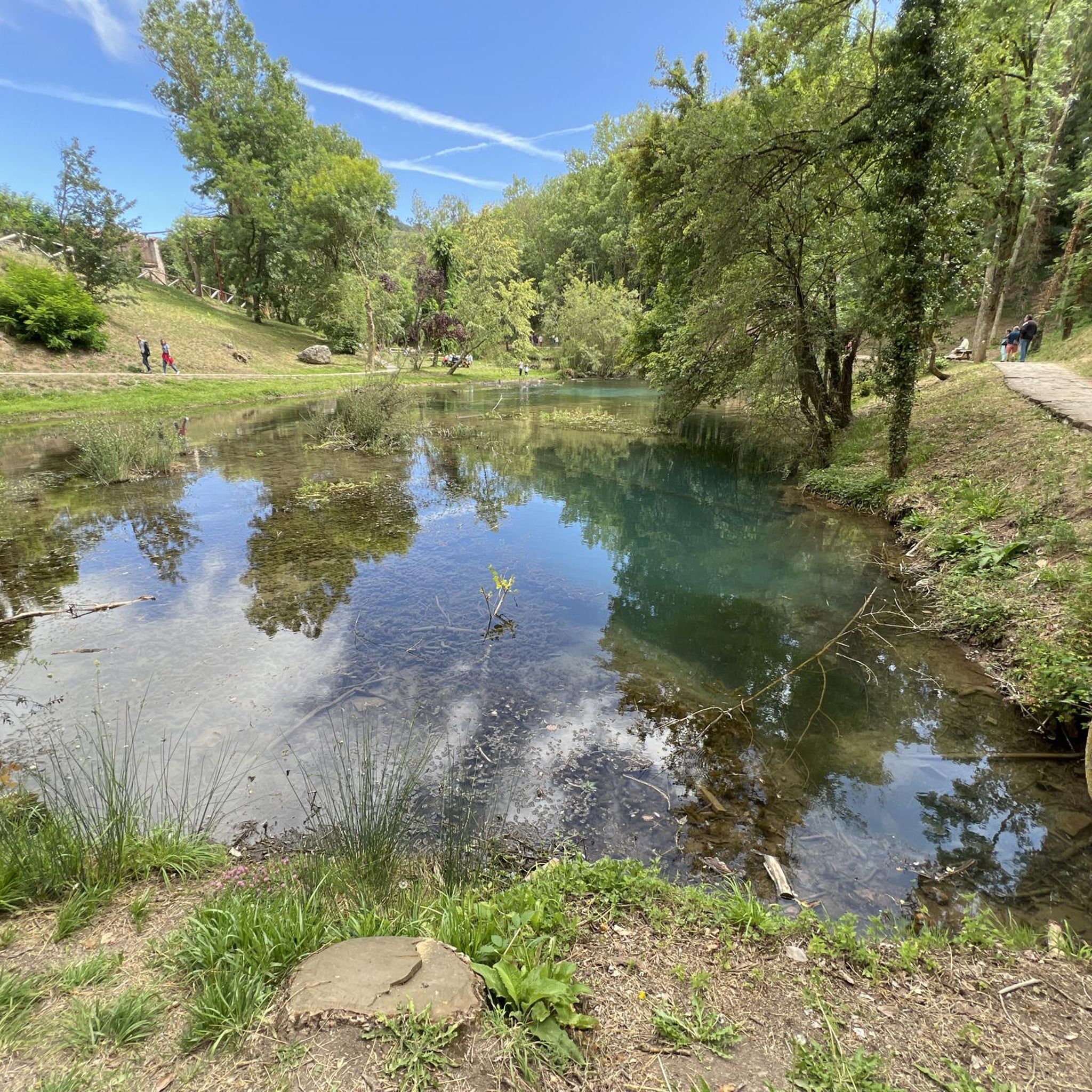
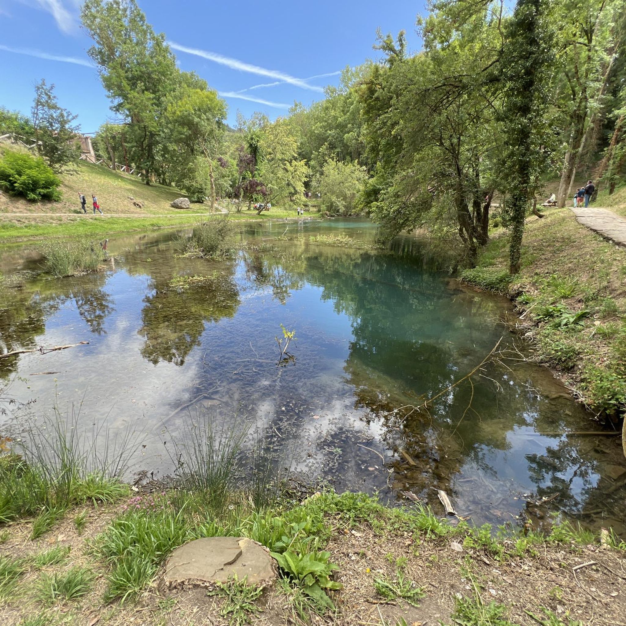
The amount of water this river carries is always surprising.
1
0

Puente Mayor over the Pisuerga River is of medieval origin. We can see the small islands in the river and the castle hill.
2
0

The next town is Vallespinoso de Aguilar. The hermitage of Santa Cecilia, immediately standing out on a castle hill, is dated to the 12th century and was declared a historical-artistic monument in 1951. The portico has well-carved capitals and the location conveys the atmosphere of a fortress sanctuary.
0
0

The Church of the Assumption, located in Barrio de Santa María, is an outstanding example of the Romanesque in the Palencia Mountain. Built in the 16th century on the remains of a 12th-century Romanesque church, it preserves elements such as the apse and the nave of the Gospel.
2
0
Nice railway bridge that crosses the Pisuerga river on the outskirts of Salinas de Pisuerga.
1
0
Frequently Asked Questions
What is the typical terrain and difficulty for gravel biking around Brañosera?
The gravel biking terrain around Brañosera is diverse, ranging from high mountain environments to dense forests and river valleys. You can expect a mix of gravel tracks and dirt roads, offering varied surfaces. The routes in this guide are generally considered difficult, featuring significant elevation gains and technical stretches, making them suitable for experienced gravel bikers. For example, the Salinas de Pisuerga Bridge – Hermitage of Santa Cecilia loop from Barruelo de Santullán covers over 72 km with more than 1000 meters of elevation gain.
Are there any notable natural features or viewpoints to see while gravel biking?
Yes, the Montaña Palentina Natural Park offers spectacular natural features. You can encounter high mountain scenery, extensive deciduous forests of beech and oak, and sculpted river valleys. Notable natural highlights include the impressive Pico Valdecebollas (2,139 m), and the beautiful Pozo Merino waterfall, which can even form ice waterfalls in winter. For panoramic views, consider visiting the Piedrasluengas Viewpoint.
What historical landmarks can I discover on a gravel bike ride?
Brañosera itself is historically significant as the first town hall in Spain, established in 824 AD, and features traditional stone houses and the Romanesque church of Santa Eulalia. Nearby, you can find the beautiful Romanesque church of San Martín Obispo and the historic Puente Rojadillo (a Roman bridge). While cycling, you might pass by the Cross of Mount Bernorio, offering both historical context and scenic views.
What is the best time of year for gravel biking in Brañosera?
The region's varied terrain means different seasons offer unique experiences. Spring and autumn are generally ideal for gravel biking, providing pleasant temperatures and vibrant landscapes. Summer can be good, but be prepared for warmer weather, especially at lower elevations. Winter offers a different challenge, with the possibility of snow and ice, particularly at higher altitudes like Pico Valdecebollas, where the Pozo Merino waterfall can freeze into impressive ice formations.
Are there family-friendly gravel biking options near Brañosera?
While the routes listed in this guide are rated as difficult due to their length and elevation, the broader Montaña Palentina Natural Park offers a diverse landscape. For families or those seeking easier rides, it's advisable to look for shorter, flatter sections within the park's extensive network of tracks and trails, perhaps along river valleys, which might not be explicitly listed as dedicated gravel routes in this guide but can be explored.
Can I find circular gravel bike routes in the Brañosera area?
Yes, several routes in the area are designed as circular loops, allowing you to start and end at the same point. An example is the Salinas de Pisuerga Bridge – Aguilar Reservoir loop from Aguilar de Campoo, which offers a challenging 49 km ride. Another option is the Collegiate Church of San Miguel – Salinas de Pisuerga Bridge loop from Aguilar de Campoo, covering nearly 66 km.
Is parking available near the gravel bike trails in Brañosera?
Yes, parking is generally available in and around the villages that serve as starting points for many routes. For instance, routes originating from Aguilar de Campoo or Barruelo de Santullán will have parking facilities within those towns. It's always a good idea to check specific starting points for the most convenient parking options.
What do other gravel bikers enjoy the most about gravel biking in Brañosera?
The area is highly rated by the komoot community, with an average score of 5.0 stars. Reviewers often praise the region's unique blend of challenging terrain, spectacular natural landscapes, and the opportunity for moments of pure contemplation. The diverse surfaces, from mountain passes like Pamporquero Pass to deep valleys and charming villages, make every kilometer worthwhile for gravel biking enthusiasts.
Are there any mountain peaks or passes accessible by gravel bike?
Absolutely. The region is characterized by high mountain scenery. You can find routes that climb passes like the Pamporquero Pass, reaching altitudes of up to 1600 meters. Significant summits in the broader area include Tres Mares Peak and Peña Labra, offering rewarding experiences and panoramic views, though some sections to the very summit might require dismounting.
Are there any shorter gravel bike routes for a quicker ride?
While many routes are quite long, there are options for shorter rides. For example, the Aguilar de Campoo Castle – Pisuerga River loop from Aguilar de Campoo is a 30 km route with over 200 meters of elevation gain, offering a more manageable duration for a quicker gravel biking experience.
Most popular attractions around Brañosera

Get inspired with the komoot mobile app


Explore more
Browse the best Gravel rides in other regions.
