The best cycling routes around Brañosera
4.6
(18)
228
riders
28
rides
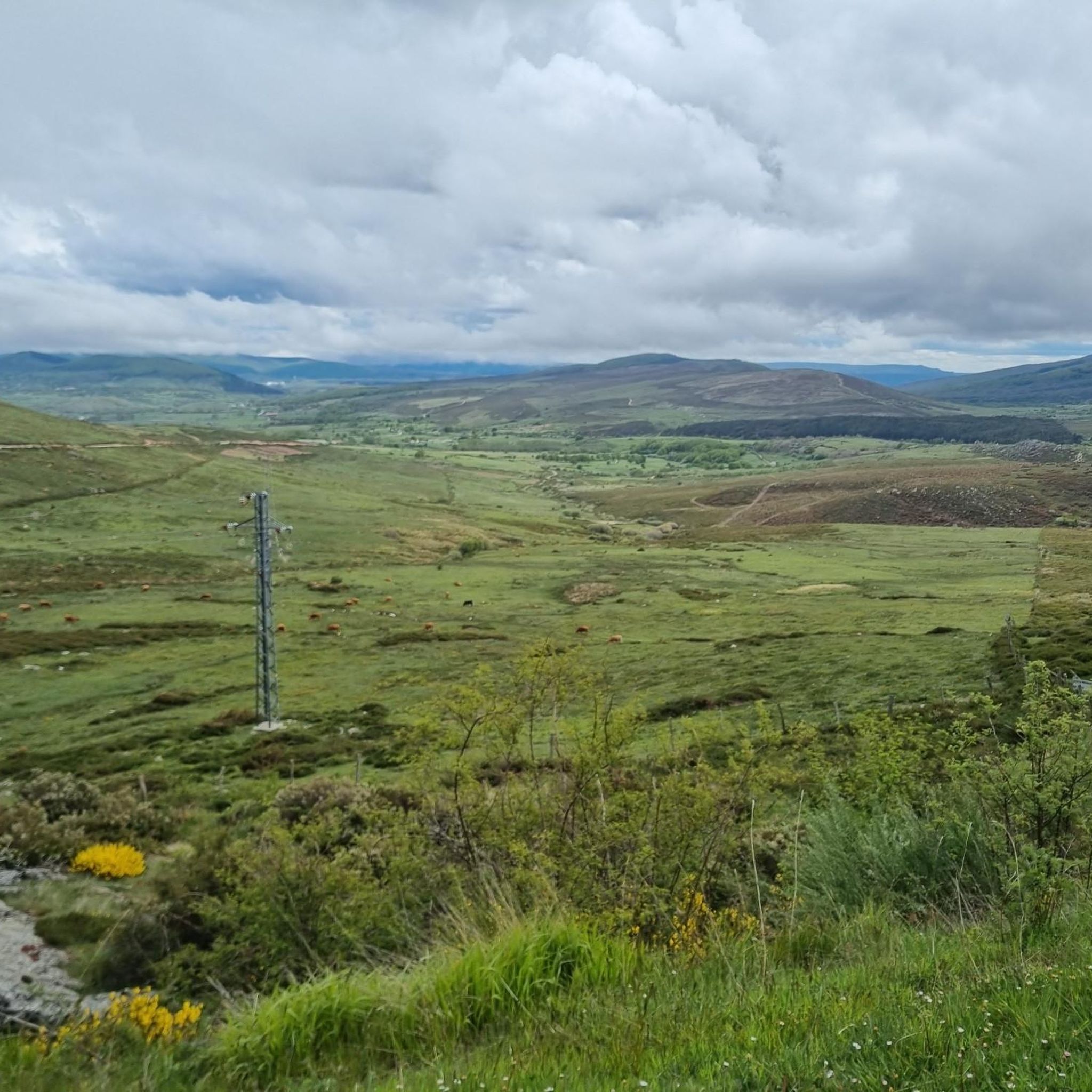
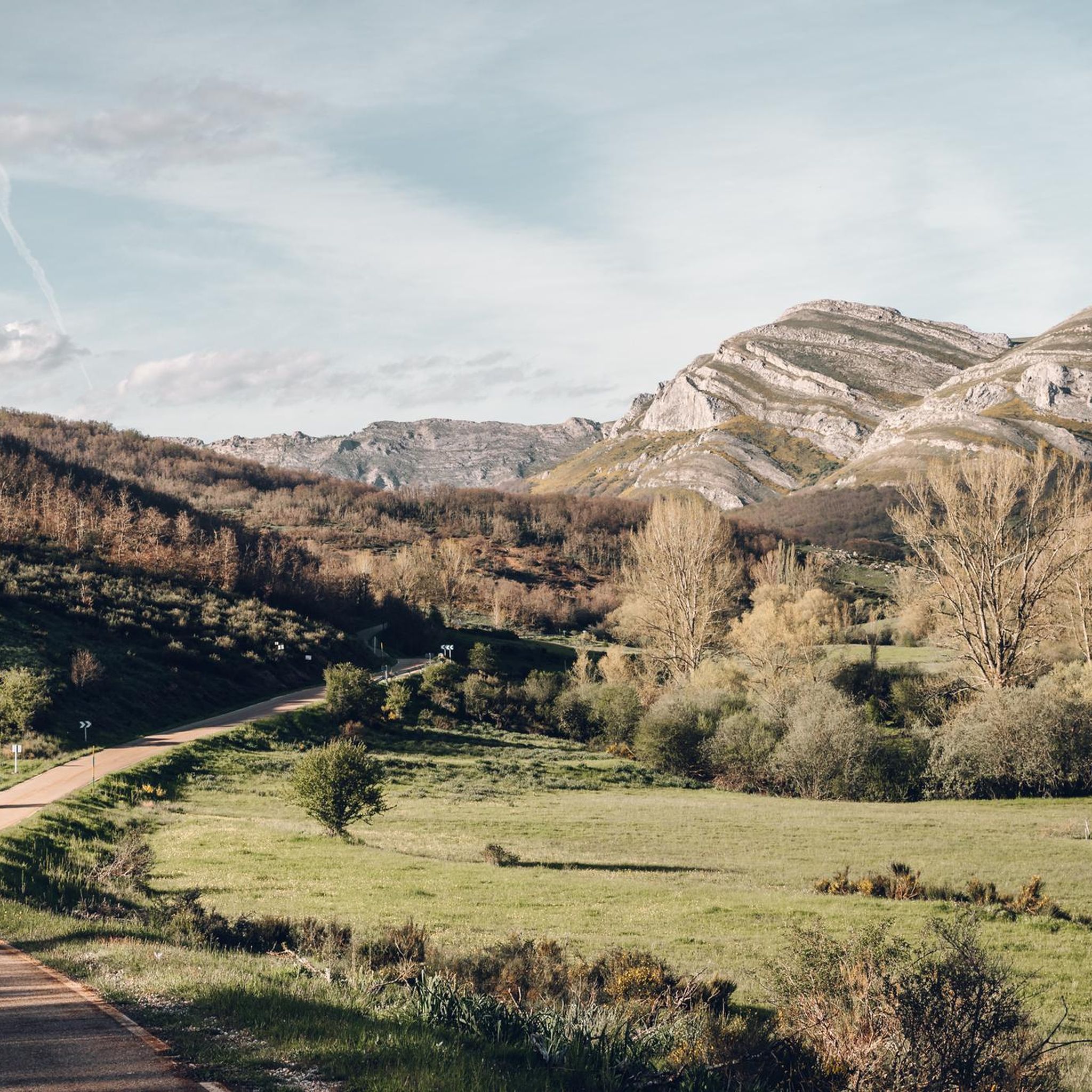
Touring cycling routes around Brañosera are set within the Montaña Palentina Natural Park, offering diverse terrain for cyclists. The region features rugged mountains, deep valleys, and extensive forests of beech, oak, and holly. The varied orography transitions from plains to the Cantabrian Mountains, providing a range of experiences from gentle slopes to demanding climbs.
Best touring cycling routes around Brañosera
- The most popular touring cycling route is Mining Basins Route, a 32.2 miles (51.9 km) trail that takes 3…
Last updated: October 15, 2026
4.3
(3)
4
riders
51.9km
03:45
630m
630m
This difficult 32.2-mile touring cycling route from Barruelo de Santullán explores the Montaña Palentina, featuring villages and mountain vi
2
riders
Hard bike ride. Very good fitness required. Mostly paved surfaces. Suitable for all skill levels.

28
riders
Hard bike ride. Very good fitness required. Mostly paved surfaces. Suitable for all skill levels.
14
riders
61.2km
04:07
1,010m
1,010m
Hard bike ride. Very good fitness required. Mostly paved surfaces. Suitable for all skill levels.
5.0
(1)
11
riders
Hard bike ride. Very good fitness required. Mostly paved surfaces. Suitable for all skill levels.
Get access to more routes and recommendations from other explorers.
Already have an account?
Our route recommendations are based on thousands of hikes, rides, and runs completed by other people on komoot.
Start today with a free account
Your next adventure awaits.

Tips from the Community

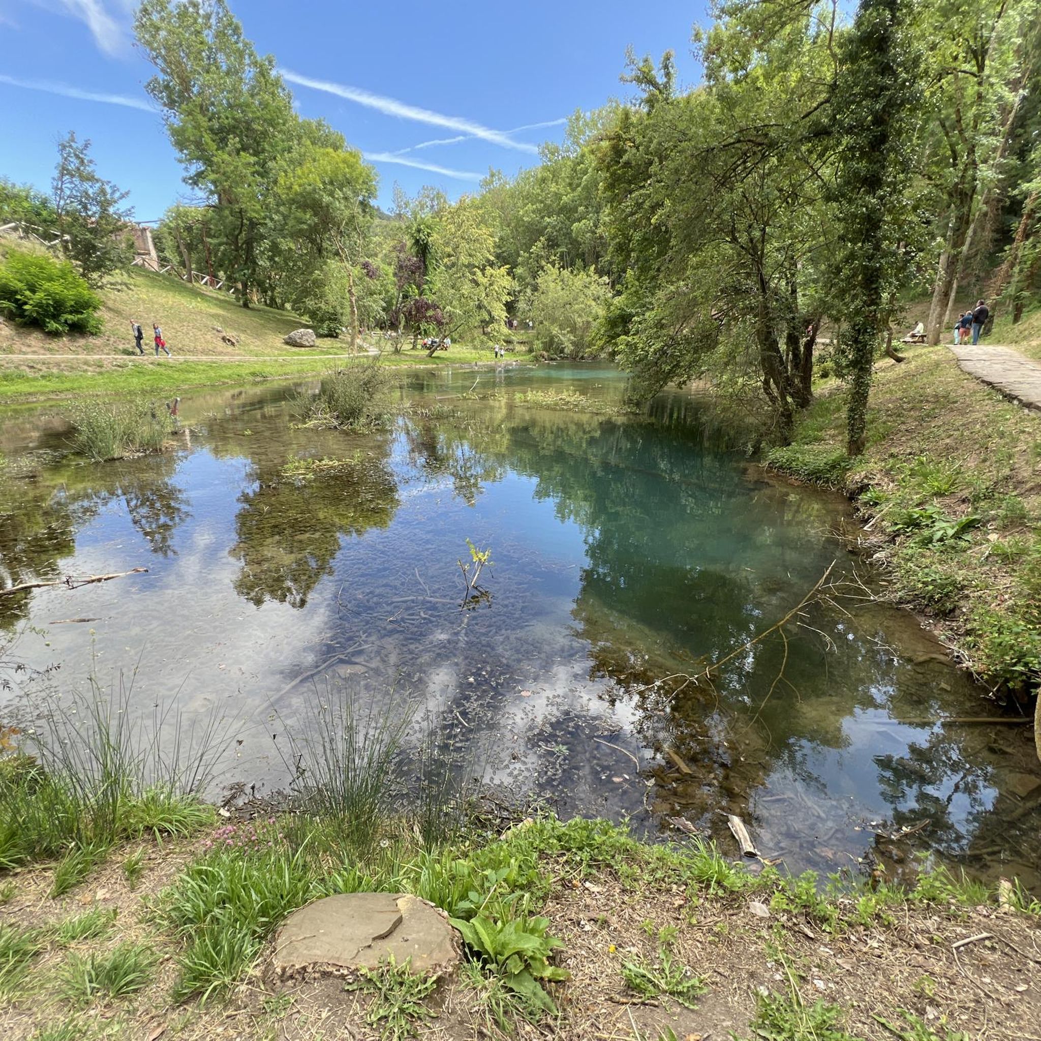
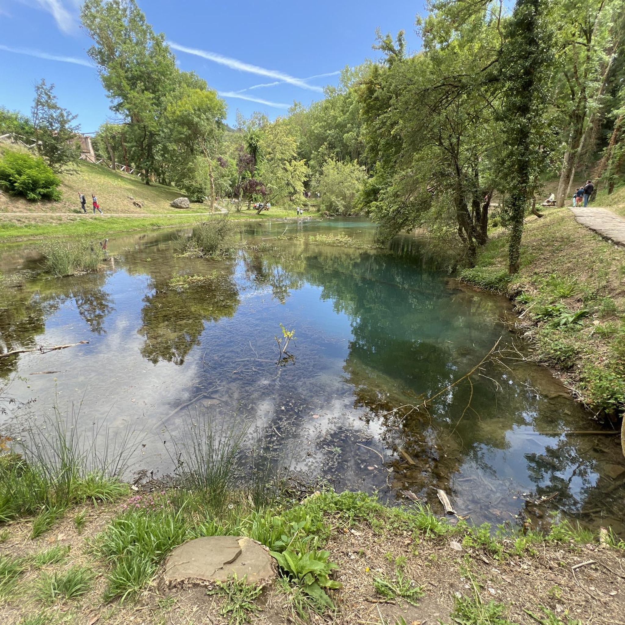
Here is the "official" source of the Ebro, even though it was proven about 40 years ago that only the water of the Rio Hijar, which seeps away at Paracuelles, re-emerges here. Strictly speaking, it is a karst spring. Not far below the spring, the Ebro is dammed by a small weir, creating a beautiful little pond here, which is obviously also popular with ducks. The circular path around the pond from the spring to the weir is only a few hundred meters long walk, a large visitor car park is directly above, so you don't have to make a long hike to visit - but you can, of course, also start the GR99 here and walk to the Mediterranean...
0
0

Town with all services at the gates of the Palencia mountains. Much to see and enjoy culturally and in nature
0
0

The Plaza de España in Reinosa is, like in so many others, a meeting place and a venue for celebrations. Don't miss visiting it and, if you have time, relaxing on one of its terraces trying some of the local tapas.
0
0

At the foot of the road you begin to see the water from the Ebro reservoir
0
0
We set out with the hope of ascending to the summit of Tresmares, where the Hijar-Ebro River begins and flows into the Mediterranean, the Pisuerga River (a tributary of the Duero River) flows into the Atlantic, and the Nansa River flows into the Cantabrian Sea. But a thick, damp fog covering the landscape forced us to give up and head back down the same way we came up. The road is partially covered by a bike lane and very little traffic. A steady climb of around 10%. Absolutely recommended. A few years ago, the Alto Campoo pass was the final stage of La Vuelta a España.
0
0
Officially, it's the source of the Ebro River, in Fontibre. However, according to what we were told at the tourist office, the waters of the spring pools come underground from the Hijar River, which rises in Alto Campoo. Specifically, in Tresmares, where the Hijar-Ebro begins, flowing into the Mediterranean; the Pisuerga (a tributary of the Duero) flows into the Atlantic; and the Nansa flows into the Cantabrian Sea.
0
0

Interesting to visit, if you are in the area.
3
0

Perapertú, located in the Mudá Valley, in the Palencia Mountain, offers a spectacular environment to enjoy nature and the mountains. Its town center has ashlar constructions and a church dedicated to San Quirico and Santa Juliana.
1
0
Frequently Asked Questions
What kind of terrain can I expect on touring cycling routes around Brañosera?
The touring cycling routes around Brañosera are primarily set within the Montaña Palentina Natural Park, offering a diverse range of terrain. You'll encounter rugged mountains, deep valleys, and extensive forests of beech, oak, and holly. The region's varied orography means routes transition from gentler slopes to more demanding climbs, providing a mix of experiences for touring cyclists.
Are there any easy or beginner-friendly touring cycling routes in Brañosera?
While many routes in the Brañosera area are rated as difficult, there are options for different ability levels. The region's varied topography includes paths with less significant elevation gain, suitable for those seeking an easier ride. For example, the area offers routes that traverse forests and lead to natural spots like Pozo Merino, which can be more serene.
What are some notable natural features or landmarks I can see while cycling around Brañosera?
Cycling around Brañosera offers opportunities to see a variety of natural features and historical landmarks. You might encounter the impressive Piedrasluengas Viewpoint, the source of the Ebro River, or the Salinas de Pisuerga Bridge. The region is also known for its dense forests, including beeches, oaks, and hollies, and the picturesque Rubagón River, which forms impressive ice cascades in winter.
Are there any circular touring cycling routes available from Brañosera?
Yes, there are circular touring cycling routes in the area. A popular option is the Herreruela de Castilleria y San Cebrián de Mudá – circular desde Perapertú. This difficult 18.3-mile (29.5 km) path offers scenic views of surrounding villages and natural landscapes, providing a rewarding loop experience.
What do other touring cyclists enjoy most about cycling in Brañosera?
The touring cycling routes in Brañosera are highly rated by the komoot community, with an average score of 4.5 stars from over 10 reviews. Cyclists often praise the mountainous landscapes, dense forests, and river valleys within the Montaña Palentina Natural Park. The varied terrain and the opportunity to explore historical mining areas and charming villages are also frequently highlighted.
Can I find routes that offer significant elevation gain for a challenging ride?
Absolutely. Brañosera is situated in a region with varied orography, transitioning from plains to the Cantabrian Mountains, which means there are plenty of routes with significant elevation gain. For example, the Alto del Bardal – Historic Bridge of Reinosilla loop from Cillamayor features over 1000 meters of elevation gain, making it a challenging option for experienced touring cyclists.
What is the best time of year for touring cycling in Brañosera?
The Montaña Palentina Natural Park, where Brañosera is located, offers beautiful scenery throughout the year. The changing colors of the landscape, especially when the heaths and brooms are in bloom, or during snowy winters, add to its allure. For touring cycling, spring and autumn generally offer pleasant temperatures and vibrant natural beauty. Summer can also be good, but be prepared for warmer conditions, especially on exposed routes. Winter cycling is possible, but some routes might be affected by snow and ice, particularly at higher elevations.
Are there any routes that pass by historical sites or cultural attractions?
Yes, Brañosera itself holds historical significance as Spain's first town hall, established in 824 AD. Cycling routes in the area can lead you past remnants of medieval architecture, such as arches, and Romanesque churches like Santa Eulalia and the hermitage of San Miguel. The Mining Basins Route, for instance, explores the historical mining areas of the region, offering a glimpse into its industrial past.
Where can I find parking for my car when starting a cycling route in Brañosera?
While specific dedicated cycling parking areas are not detailed, Brañosera is a small village within a natural park. You can typically find parking within the village itself or at designated trailheads for various routes. It's advisable to check local signage upon arrival for the most convenient and permitted parking spots, especially when starting longer tours.
Are there any routes that include reservoirs or significant water bodies?
Yes, the region features routes that incorporate significant water bodies. The Aguilar Reservoir – Collegiate Church of St. Michael loop from Cillamayor is a 31.8-mile (51.2 km) trail that leads through varied terrain and includes views of the Aguilar Reservoir, offering a scenic experience around a large body of water.
What is the total number of touring cycling routes available in the Brañosera area?
There are over 25 touring cycling routes available for exploration in the Brañosera area, catering to various skill levels and preferences. This includes a mix of easy, moderate, and difficult trails, ensuring a wide range of options for touring cyclists.
Are there opportunities to spot wildlife while cycling in the Montaña Palentina Natural Park?
Yes, the Montaña Palentina Natural Park is a haven for wildlife. While cycling, you might have opportunities to spot various species, including Cantabrian brown bears, capercaillies, Iberian wolves, and a diverse array of birds of prey. The lush forests and rugged landscapes provide a rich habitat for these animals, enhancing the natural experience of your ride.
Most popular routes around Brañosera
Most popular attractions around Brañosera

Get inspired with the komoot mobile app


Explore more
Browse the best Cycling routes in other regions.
