The best running trails around Brañosera
4.5
(11)
336
runners
30
runs
Jogging around Brañosera offers a diverse range of routes through the Montaña Palentina, characterized by varied landscapes from verdant valleys to challenging mountain trails. The region features natural elements such as beech forests, gushing rivers, and panoramic viewpoints, providing a scenic backdrop for running. Trails range from accessible paths suitable for gentle jogs to more demanding routes with significant elevation gains. This area provides a natural environment for outdoor activity, combining natural beauty with historical points of interest.
Best jogging…
Last updated: June 28, 2026
16
runners
Hard run. Very good fitness required. Mostly accessible paths. Some sure footedness required.
44
runners
18.4km
02:56
1,040m
1,040m
Hard run. Very good fitness required. Mostly paved surfaces. Suitable for all skill levels.

Sign up for free
14
runners
19.7km
03:06
1,090m
1,090m
Hard run. Very good fitness required. Mostly paved surfaces. Suitable for all skill levels.
5.0
(1)
10
runners
5.87km
00:47
160m
160m
Moderate run. Good fitness required. Mostly paved surfaces. Suitable for all skill levels.
8
runners
15km
02:34
990m
990m
Hard run. Very good fitness required. Mostly paved surfaces. Suitable for all skill levels.
Get access to more routes and recommendations from other explorers.
Sign up for free
Already have an account?
Our route recommendations are based on thousands of hikes, rides, and runs completed by other people on komoot.
Start today with a free account
Your next adventure awaits.
Login or Signup

Tips from the Community

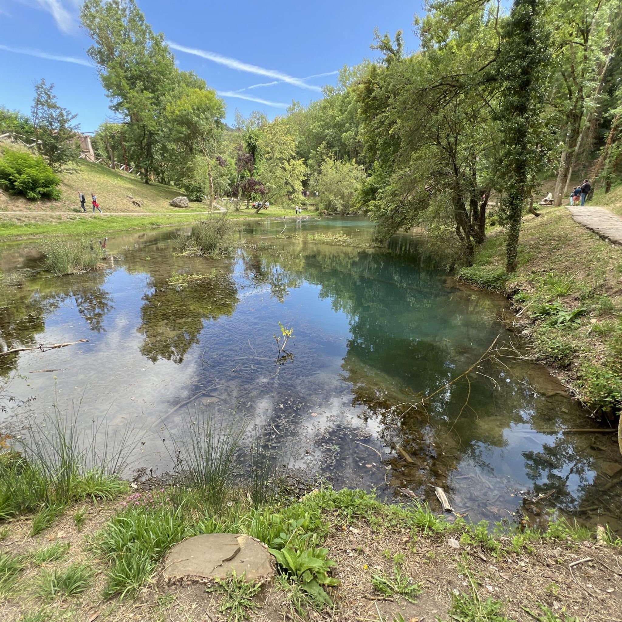
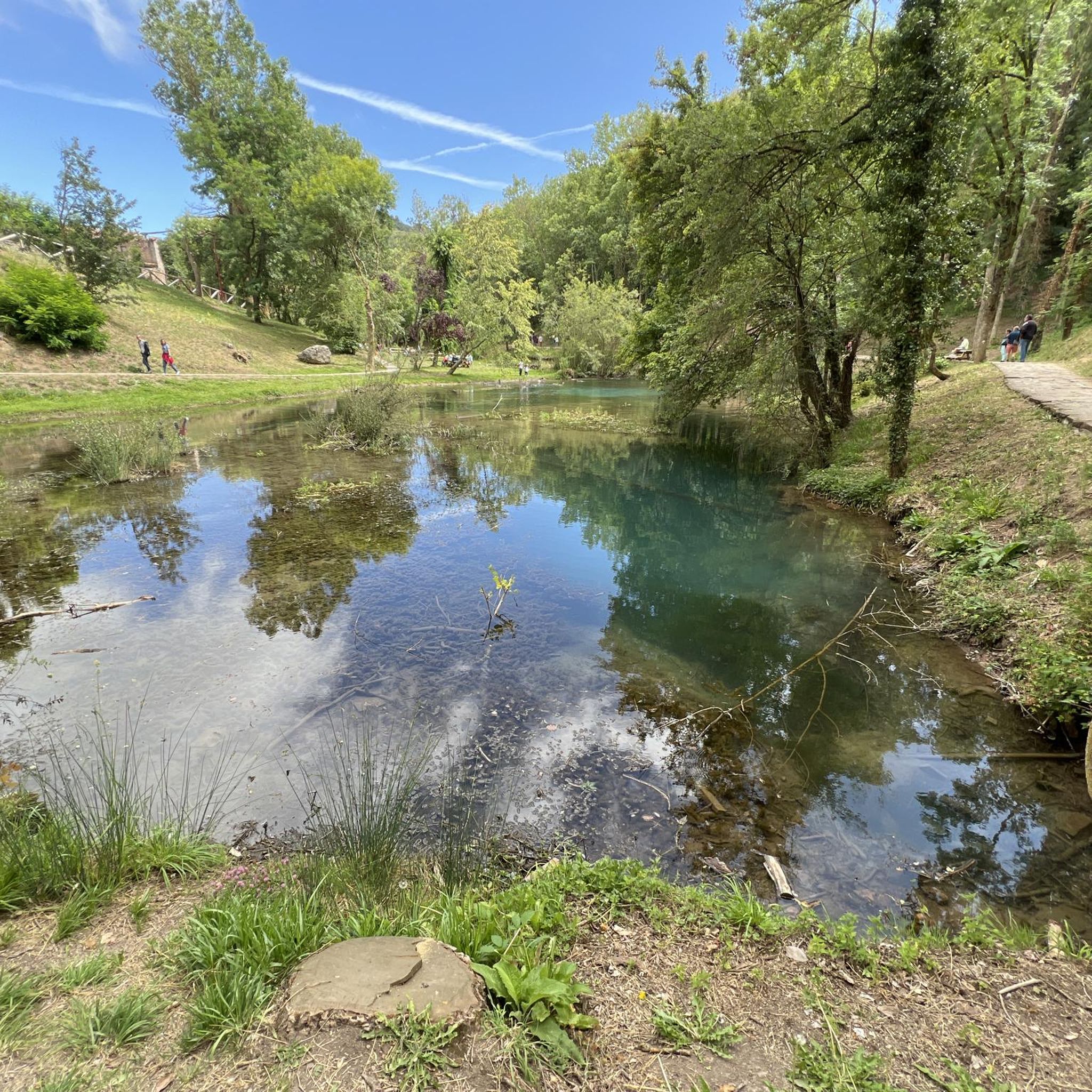
The Pisuerga River rises in the province of Palencia, in the region of Castile and León, Spain. Its source is in the Covarrés glacial basin, between the Valdecebollas peak and the Sierra de Híjar, in a place known as Sel de la Fuente.
3
0

The Pisuerga River is born in the Cueva del Cobre, a rocky cavity 8.5km long through which you can walk inside without any problem.
2
0

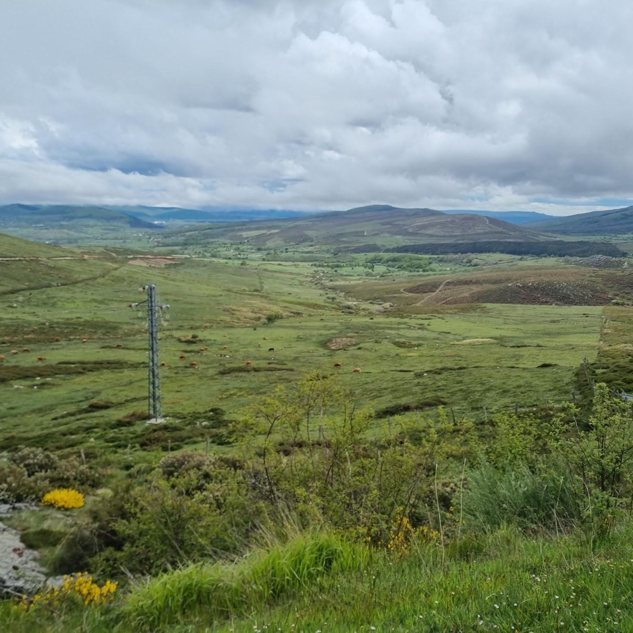
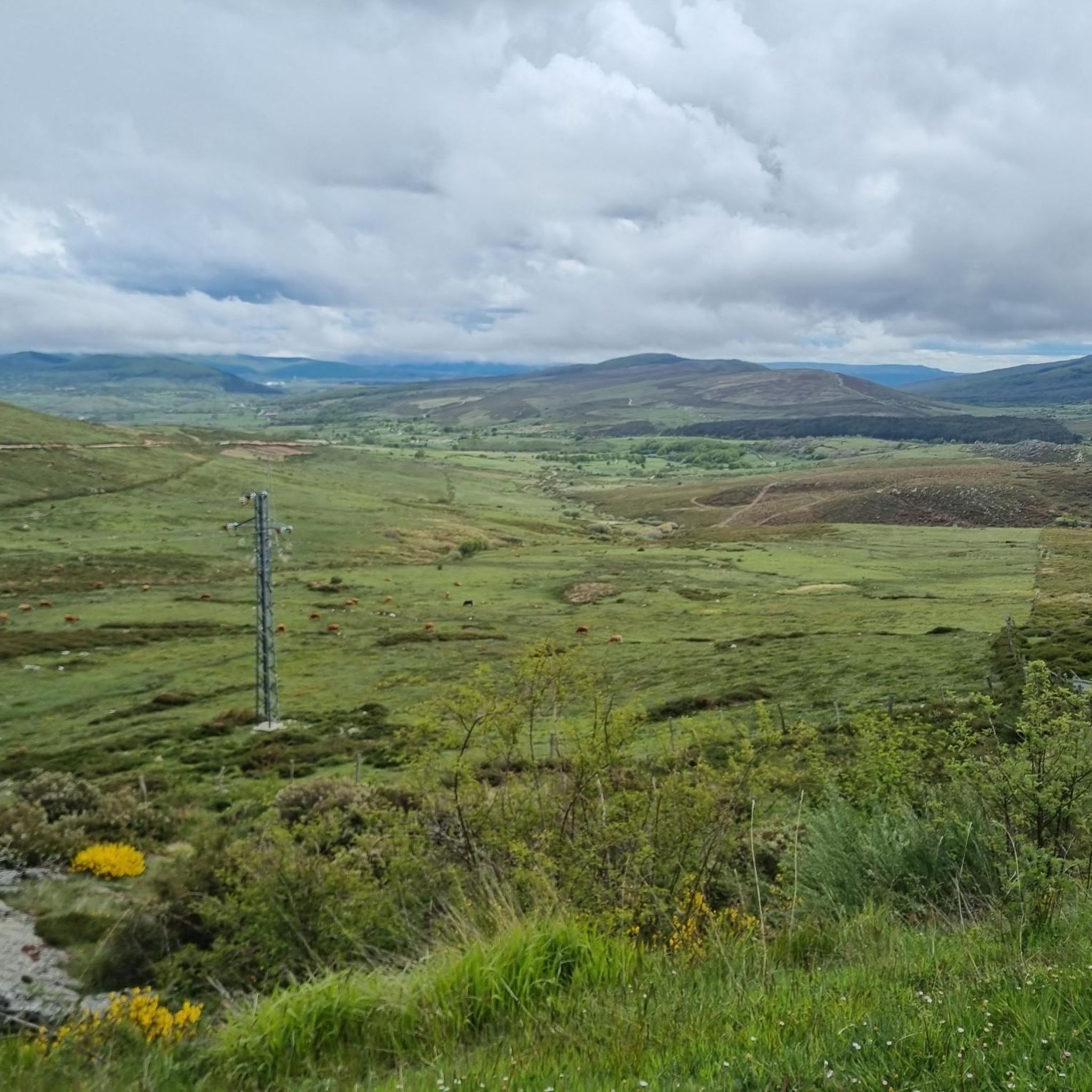
Very close to the Alto Campo ski resort and located at 2,149 meters above sea level, the top of Tres Mares is one of those peaks that you cannot miss. You will have wonderful views towards the Cantabrian interior, the Picos de Europa National Park and the neighboring Montaña Palentina Natural Park in the Castilla y León region.
6
0
Frequently Asked Questions
What kind of running routes can I expect around Brañosera?
Brañosera, nestled in the Montaña Palentina, offers a diverse range of running experiences. You'll find everything from accessible paths through verdant valleys to more challenging mountain trails with significant elevation gains. The landscape features picturesque beech forests, gushing rivers, and panoramic viewpoints, providing a scenic backdrop for your run.
Are there easy or beginner-friendly jogging routes in Brañosera?
Yes, Brañosera offers routes suitable for all fitness levels. While many trails involve mountainous terrain, there are options for gentler jogs. For example, the View of Santullán Valley loop from Brañosera is a moderate 3.6-mile (5.9 km) trail that can be completed in under an hour, offering scenic views without extreme difficulty.
Can I find circular running routes in the Brañosera area?
Absolutely. Many of the routes around Brañosera are designed as loops, allowing you to start and finish in the same location. A popular option is the Nacimiento del río Pisuerga por la Senda de Fuente Cobre (PR-P-8), a 7.3-mile (11.7 km) circular trail running experience through the Montaña Palentina Natural Park.
What are some scenic highlights or natural features I might see while running?
The region is rich in natural beauty. You can expect to run through dense beech forests, alongside gushing rivers, and enjoy expansive mountain views. Notable natural attractions include the Source of the Ebro River and the Pisuerga River Source (Cueva del Cobre). For breathtaking vistas, consider routes that pass by the Piedrasluengas Viewpoint or offer views of peaks like Tres Mares Peak.
Are there any historical or cultural landmarks near the running trails?
Yes, Brañosera and its surroundings offer a blend of natural beauty and historical charm. You might encounter Romanesque architecture, such as the beautiful San Martín Obispo church in Brañosera itself, or the church dedicated to San Quirico and Santa Juliana in nearby Perapertú. Exploring the narrow, stone-built streets of these historical towns can add a cultural dimension to your outdoor activity.
What do other runners say about the trails in Brañosera?
The running routes in Brañosera are highly regarded by the komoot community, boasting an average score of 4.6 stars from over 10 reviews. Runners frequently praise the varied terrain, the stunning natural scenery of the Montaña Palentina, and the options available for different ability levels.
Are there any challenging running routes for experienced trail runners?
For experienced trail runners seeking a challenge, Brañosera offers several difficult routes with significant elevation gains. An example is the Tres Mares Peak – Tres Mares loop from Estación de Esquí y Montaña Alto Campoo, an 11.6-mile (18.6 km) path known for its demanding ascent and expansive mountain views.
Can I bring my dog on the jogging routes around Brañosera?
While the guide doesn't specify dog-friendly routes, the natural environment of Montaña Palentina is generally welcoming to dogs. It's always recommended to keep your dog on a leash, especially in protected areas or near livestock, and to check local regulations for specific trails or natural parks before heading out.
Are there routes suitable for families with children?
For families, routes with moderate difficulty and shorter distances are ideal. The View of Santullán Valley loop from Brañosera, at 3.6 miles (5.9 km) with moderate elevation, could be a good option for active families looking for a scenic jog or walk.
What is the best time of year to go running in Brañosera?
The region is beautiful year-round, but the presence of beech forests suggests that routes through these areas would be particularly ideal during warmer months, offering pleasant shade. Spring and autumn also provide comfortable temperatures and vibrant natural colors, making them excellent seasons for exploring the trails.
How many running trails are there in total around Brañosera?
There are over 25 running trails available around Brañosera, offering a wide variety of distances and difficulty levels to suit every runner's preference.
Are there any routes that offer views of the Valdecebollas peak?
Yes, for those seeking panoramic vistas, routes that ascend towards Pico Valdecebollas offer extensive views of the Montaña Palentina. While challenging, these trails can be adapted for a strenuous jog or trail run, rewarding you with spectacular scenery.
Most popular attractions around Brañosera

Get inspired with the komoot mobile app


Explore more
Browse the best Running Trails & Routes in other regions.
