The best gravel rides in Montagne De Mouisset
4.7
(3)
27
riders
6
rides
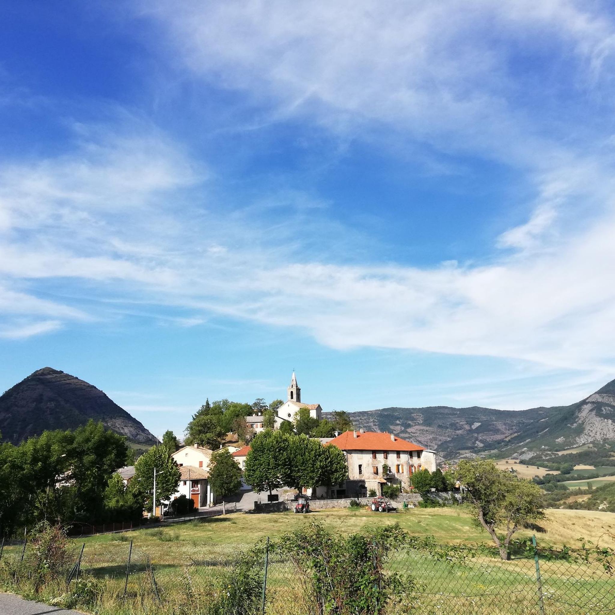
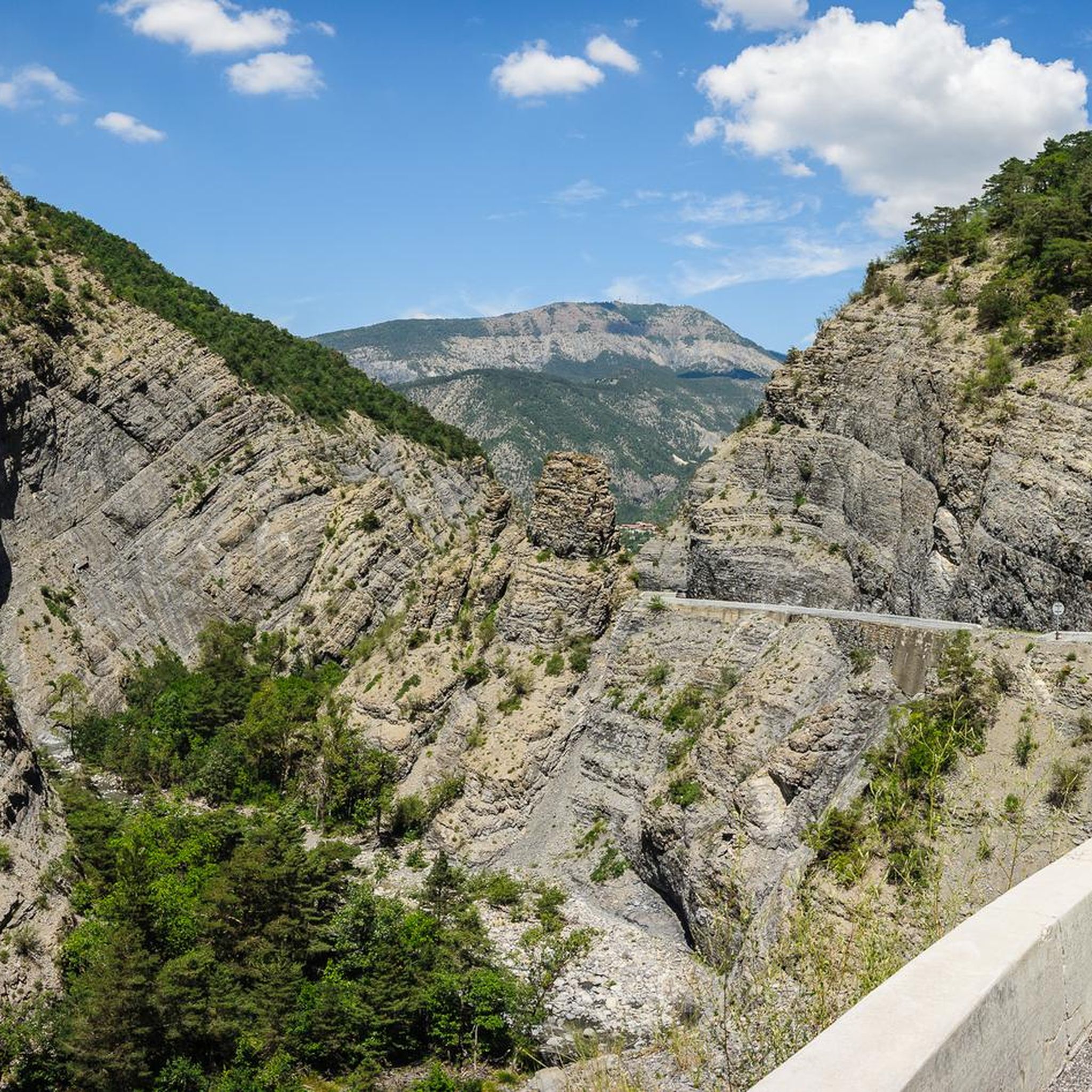
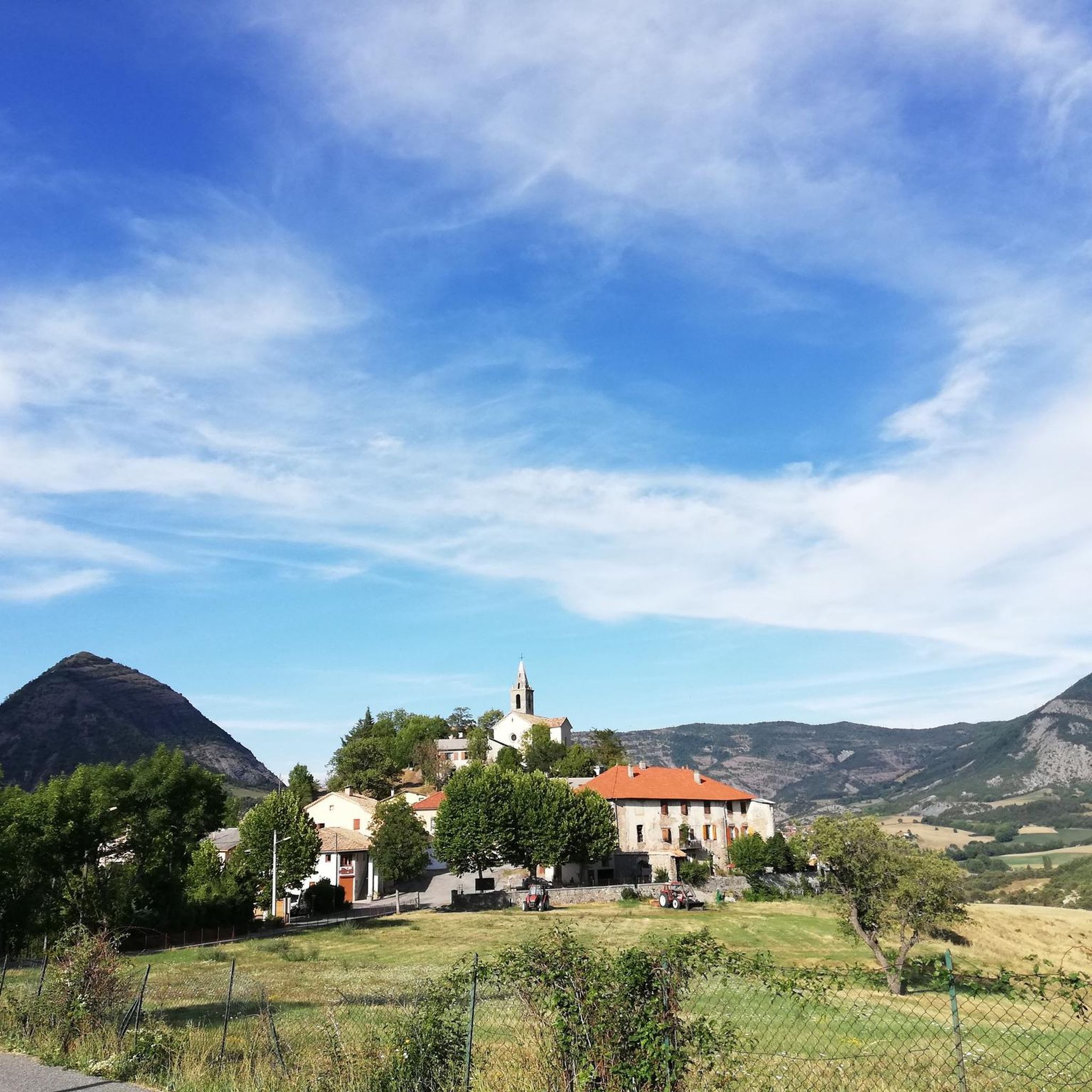
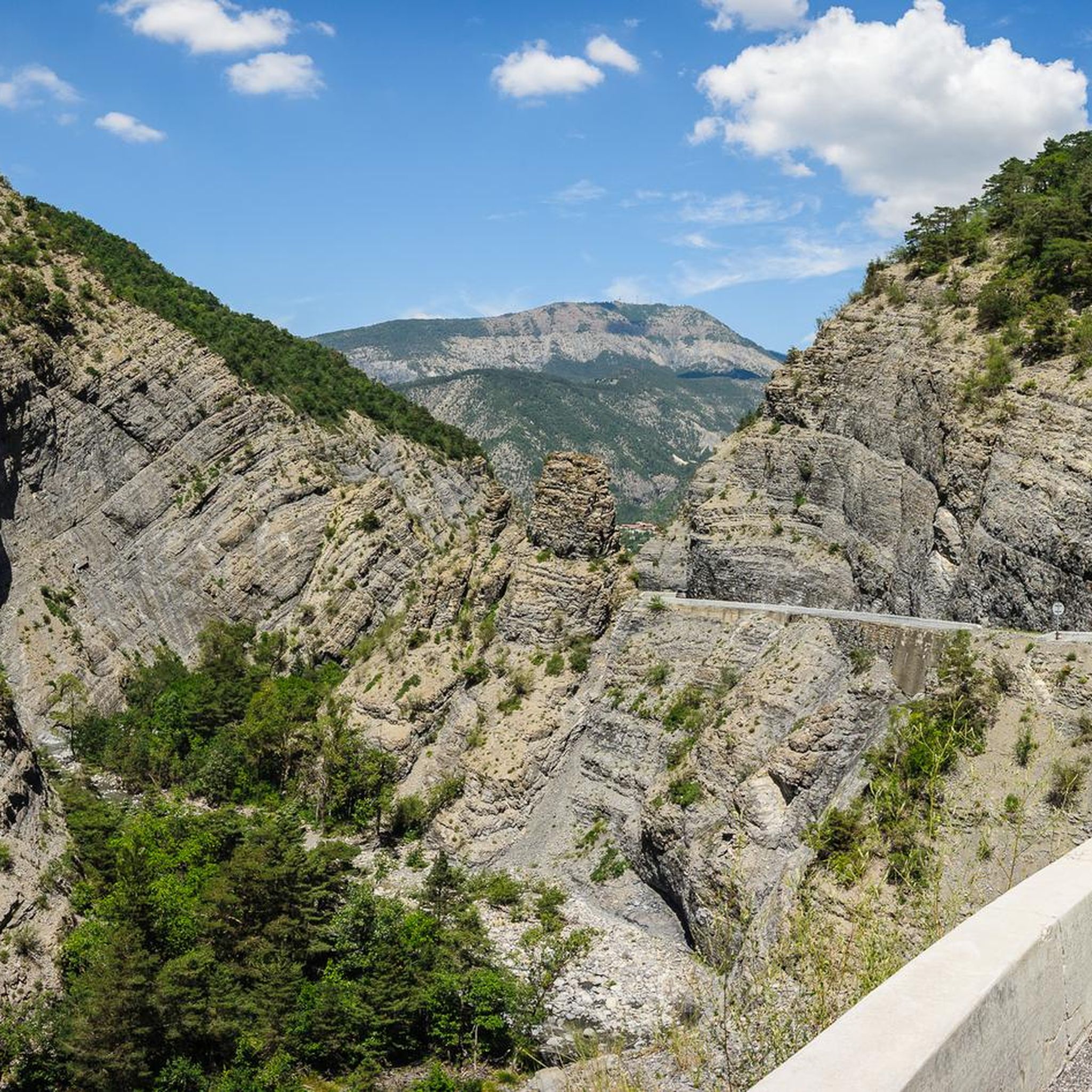
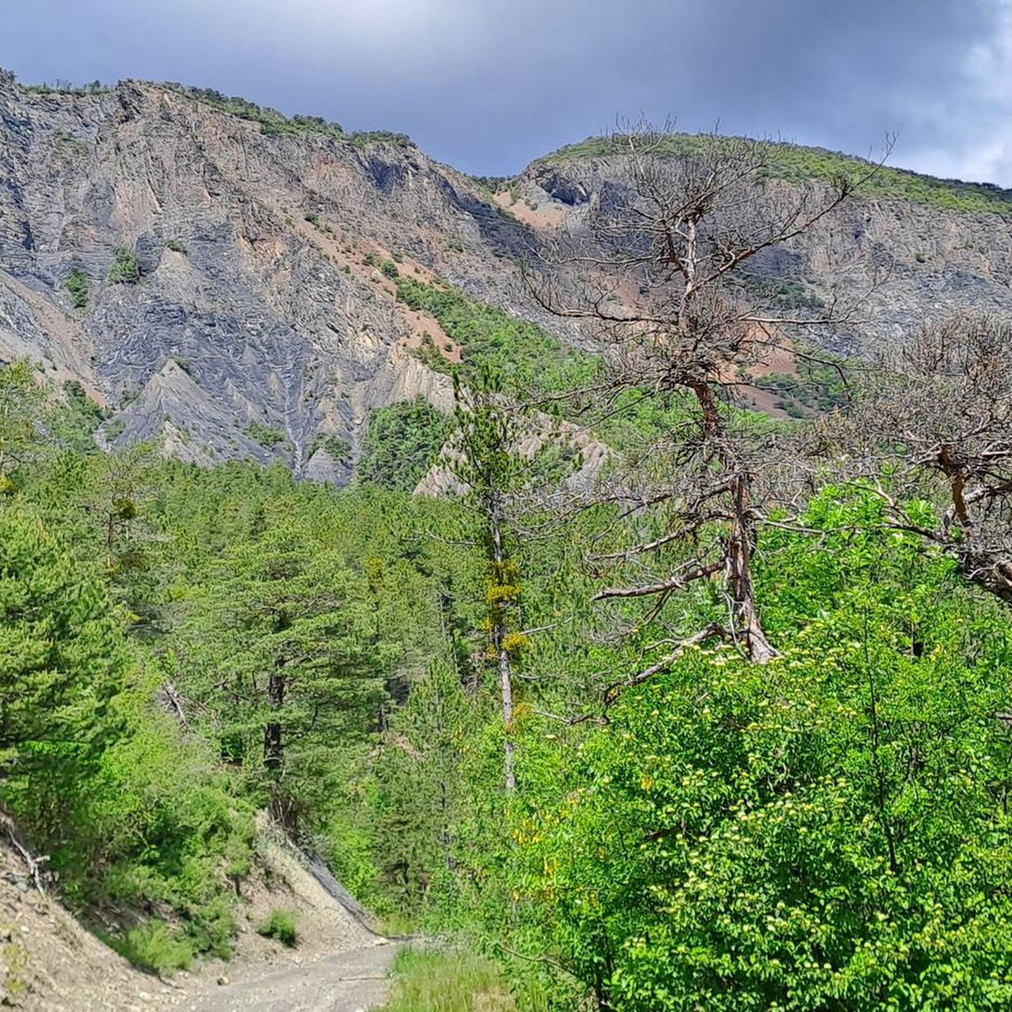
Gravel biking in Montagne De Mouisset offers routes through the rugged and scenic Préalpes de Digne, situated between the Hautes-Alpes and Alpes-de-Haute-Provence departments. The terrain features a mix of paved and unpaved roads, dirt tracks, and paths, characteristic of the wider French Alps region. Routes often include significant elevation changes, providing varied challenges for gravel cyclists. The landscape encompasses views of the Durance valley and proximity to Lake Serre-Ponçon.
Best gravel bike trails in Montagne De Mouisset
- The most popular…
Last updated: August 23, 2026
3
riders
48.6km
03:24
940m
940m
Hard gravel ride. Very good fitness required. Mostly paved surfaces. Suitable for all skill levels.
5.0
(1)
4
riders
39.4km
03:33
1,230m
1,230m
Hard gravel ride. Very good fitness required. Mostly paved surfaces. Suitable for all skill levels.

Sign up for free
5.0
(1)
5
riders
21.6km
01:30
310m
310m
Moderate gravel ride. Good fitness required. Mostly paved surfaces. Suitable for all skill levels.
7
riders
35.0km
02:53
840m
840m
Hard gravel ride. Very good fitness required. Mostly paved surfaces. Suitable for all skill levels.
4.0
(1)
3
riders
12.4km
00:52
110m
110m
Easy gravel ride. Great for any fitness level. Mostly paved surfaces. Suitable for all skill levels.
Our route recommendations are based on thousands of hikes, rides, and runs completed by other people on komoot.
Start today with a free account
Your next adventure awaits.
Login or Signup
Tips from the Community

Very beautiful view, the water has a gorgeous color.
12
0

From Mont Colombis you can enjoy a wonderful panoramic view. Kilometers 4 to 1 before the summit are pretty tough at around 13%. We hiked the last 4 kilometers.
0
0

It’s not bad at daybreak too 🤩
0
0

Connecting the Gapençais and the Durance valley, the Lebraut pass is a magnificent viewpoint over the Serre-Ponçon lake. Small roads that are as discreet as they are panoramic provide access to the heart of resplendent nature.
0
0
The desire to establish a dam to tame the tumultuous waters of the Durance dates back to the 19th century. The creation of the lake marked the beginning of significant economic and tourism growth for the region. The site has quickly become an essential tourism destination in the Southern Alps. This work therefore makes Serre-Ponçon one of the largest artificial lakes in France and one of the largest earthen dams in Europe.
1
0

Constructed over six years and completed in 1961, the barrage flooded two villages - Savines and Ubaye. Climbing up past the barrage, you can see just how it as built to almost blend into its surroundings.
0
0

Crossroads where you arrive to climb Mont Colombis and then go down to Avançon. The Croix Des Pres, from Avançon is a 11.8 km route, has a gradient of about 615 m and is classified as difficult.
0
0

Ambitious climb over the town of Théus to Mont Colombis. The gradient through the town is already 14% in places, but at the end the gradient is up to 17%. A fabulous panorama over the Lac de Serre-Poncon and the Pic de Morgon makes up for the torture.
2
0
Frequently Asked Questions
How many gravel bike routes are available in Montagne De Mouisset?
There are a few dedicated gravel bike routes in the Montagne De Mouisset area, with 3 tours currently listed. These routes offer a mix of moderate and difficult options, allowing you to explore the diverse landscapes of the Préalpes de Digne.
What is the typical terrain like for gravel biking around Montagne De Mouisset?
The terrain around Montagne De Mouisset, part of the Préalpes de Digne, is generally rugged and scenic. While the peak itself is known for steep hiking, the broader region offers versatile gravel trails that can include unpaved roads, dirt tracks, and paths. Expect varied surfaces, reflecting the alpine environment.
Are there any challenging gravel bike routes for experienced riders?
Yes, for experienced riders seeking a challenge, there are difficult gravel routes available. One such route is the Serre-Ponçon Dam – View of Lake Serre-Ponçon loop from Rochebrune, which covers nearly 50 km with significant elevation gain. Another demanding option is the Gravel compatico-sympathic – Piègut village loop from Piégut, offering over 1200 meters of ascent.
Are there any moderate gravel bike routes suitable for intermediate riders?
Intermediate riders can enjoy the Mirror, my beautiful mirror – Along the EDF canal loop from Théus. This moderate route spans over 21 km with a manageable elevation gain of around 300 meters, providing a scenic ride without extreme difficulty.
Can I find circular gravel bike routes in the Montagne De Mouisset area?
Yes, all the gravel bike routes listed for the Montagne De Mouisset area are designed as loops. This includes the Serre-Ponçon Dam – View of Lake Serre-Ponçon loop from Rochebrune, the Mirror, my beautiful mirror – Along the EDF canal loop from Théus, and the Gravel compatico-sympathic – Piègut village loop from Piégut, allowing you to start and finish at the same point.
What is the best time of year to go gravel biking in Montagne De Mouisset?
Given its location in the French Alps, the best time for gravel biking around Montagne De Mouisset is typically from late spring through early autumn (May to October). During these months, the weather is generally more stable, and trails are free of snow, offering optimal conditions for exploring the rugged landscapes.
Are there any family-friendly gravel biking options near Montagne De Mouisset?
While Montagne De Mouisset itself is known for its rugged terrain, the broader French Alps region often features versatile trails. For family-friendly options, look for routes with lower elevation gain and smoother surfaces. The Mirror, my beautiful mirror – Along the EDF canal loop from Théus, being a moderate route, might be a suitable option for families with some biking experience.
Is Montagne De Mouisset suitable for bikepacking?
The Montagne De Mouisset region, with its rugged and scenic alpine environment, offers potential for bikepacking adventures, especially for those comfortable with challenging terrain. The longer, more difficult routes like the Serre-Ponçon Dam loop or the Piégut village loop could be integrated into multi-day trips, connecting with other trails in the wider French Alps.
Where can I find parking for gravel biking in Montagne De Mouisset?
Specific parking information for each route is usually detailed on the individual tour pages. For example, the Serre-Ponçon Dam loop starts from Rochebrune, the EDF canal loop from Théus, and the Piégut village loop from Piégut. It's advisable to check the starting points of your chosen route for available parking facilities.
Are there any specific viewpoints or scenic spots along the gravel routes?
The Montagne De Mouisset region is renowned for its panoramic vistas. The Serre-Ponçon Dam – View of Lake Serre-Ponçon loop explicitly highlights views of Lake Serre-Ponçon, a significant natural feature. The wider area offers impressive sights of the Durance valley, the Écrins massif, and the Préalpes de Digne, which you can expect to encounter on various routes.
What do other gravel bikers say about the routes in Montagne De Mouisset?
The gravel biking routes in Montagne De Mouisset are highly regarded by the komoot community, with an average rating of 5.0 stars. While based on a limited number of reviews, this indicates a strong positive reception for the quality and experience offered by these trails.
Are dogs allowed on the gravel bike trails in Montagne De Mouisset?
Generally, dogs are allowed on many outdoor trails in the French Alps, including gravel paths, especially if kept on a leash. However, it's always best to check specific local regulations or national park rules if you plan to ride through protected areas, as rules can vary. Ensure your dog is well-behaved and accustomed to biking alongside you.
Are there any permits required for gravel biking in the Montagne De Mouisset region?
For general gravel biking on established trails in the Montagne De Mouisset region, permits are typically not required. However, if your route passes through specific protected natural reserves or private land, it's always wise to check for any local access restrictions or permit requirements. Always respect local signage.
Most popular routes in Montagne De Mouisset

Get inspired with the komoot mobile app


Explore more
Browse the best Gravel rides in other regions.
