The best hikes from bus stations around Pentland Hills Regional Park
4.6
(1778)
22,339
hikers
66
hikes
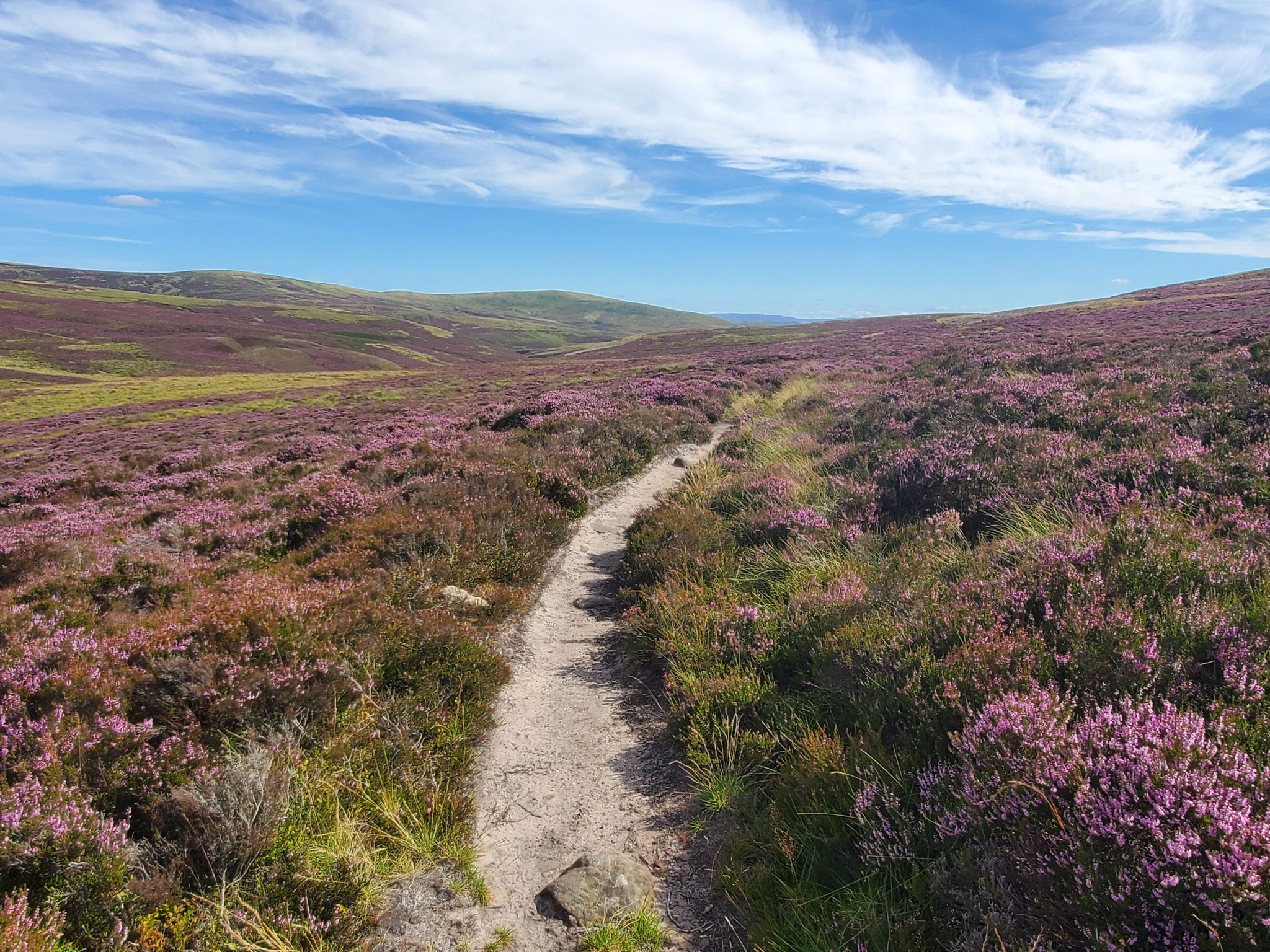
Bus station hiking trails around Pentland Hills Regional Park offer access to a landscape characterized by rolling hills, picturesque reservoirs, and open moorlands. The region features medium-sized, smooth, grassy slopes interspersed with rocky outcrops, providing varied terrain for hikers. Geological formations over 400 million years old contribute to the park's diverse character. Numerous reservoirs, including Glencorse, Loganlea, and Harlaw, are prominent features, alongside extensive heather moorlands and woodlands.
Best bus station hiking trails around Pentland Hills Regional Park
- The most popular bus station hiking route is View of Turnhouse Hill – Glencorse Reservoir Island loop from Easter Howgate, a 3.4 miles (5.4 km) trail that takes about 1 hour 30 minutes to complete. This easy route offers views of Turnhouse Hill and Glencorse Reservoir.
- Another top favourite among local hikers is View of Glencorse Reservoir – View of Turnhouse Hill loop from Easter Howgate, a moderate 5.4 miles (8.8 km) path. This route provides expansive views of Glencorse Reservoir and the surrounding hills.
- Local hikers also love the North Esk Reservoir – Waterfall and Old Mill loop from Nine Mile Burn, a 5.6 miles (9.0 km) trail leading through varied terrain including reservoir views and a waterfall, often completed in about 2 hours 40 minutes.
- Hiking around Pentland Hills Regional Park is defined by rolling hills, picturesque reservoirs, and open moorlands. The network offers options for different ability levels, from easy strolls to challenging hillwalks.
- The routes in Pentland Hills Regional Park are highly rated by the komoot community with an average score of 4.7 stars from more than 1600 reviews. More than 21000 hikers have used komoot to explore Pentland Hills Regional Park's varied terrain.
Last updated: July 12, 2026
4.8
(17)
131
hikers
5.18km
01:51
290m
290m
Easy hike. Great for any fitness level. Easily-accessible paths. Suitable for all skill levels.
4.7
(21)
201
hikers
Easy hike. Great for any fitness level. Easily-accessible paths. Suitable for all skill levels.

Sign up for free
4.9
(19)
104
hikers
Moderate hike. Good fitness required. Easily-accessible paths. Suitable for all skill levels.
4.8
(5)
59
hikers
27.9km
10:17
1,490m
1,490m
Hard hike. Very good fitness required. Mostly accessible paths. Sure-footedness required.
4.8
(10)
86
hikers
9.05km
02:38
230m
230m
Moderate hike. Good fitness required. Easily-accessible paths. Suitable for all skill levels.
Get access to more routes and recommendations from other explorers.
Sign up for free
Already have an account?
Our route recommendations are based on thousands of hikes, rides, and runs completed by other people on komoot.
Start today with a free account
Your next adventure awaits.
Login or Signup
Popular around Pentland Hills Regional Park
Other adventures around Pentland Hills Regional Park

Tips from the Community

Breathtaking view of the Glencorse reservoir, all on the mountainside...top!
0
0

Reservoir, embedded in a dream landscape (green hills!)...anglers are allowed on the shore, electric boats are available on site...idyllic!
0
0
The Pentland Hills (a range of hills south of Edinburgh) offer countless hiking opportunities. One of the "best" (= the northernmost) is Allermuir Hill. There are many paths up the mountain, but the best route is undoubtedly the panoramic route from the Midlothian Snowsports Center parking lot to the summit. The center is...???...interesting... (Skiing on mats in the summer is also possible!), and the summit offers magnificent views in all directions!
0
0


After the peaks it's all flat terrain and definitely more busy on a dry day. Walk the way back after the last peak if you prefer the challenge of it.
0
0

This path leads to and from Glencorse Reservoir, offering breathtaking views of the water and surrounding hills. The route takes you past a serene forest on one side and a charming stone wall on the other.
1
0
This is one of the most prominent hills of the Pentland Hills. You have superb views toward Edinburgh, the Firth of Forth, and on clear days, even the Fife and Scottish Highlands. The walk to the summit is moderate, and you'll be walking through diverse landscapes from grassy slopes to more rugged and rocky sections near the top.
1
0

Frequently Asked Questions
How many bus-accessible hiking trails are available in Pentland Hills Regional Park?
Pentland Hills Regional Park offers a wide selection of bus-accessible hiking trails. You can find over 65 routes that start conveniently from bus stations, ranging from easy strolls to challenging hillwalks.
What kind of terrain can I expect on bus-accessible hikes in the Pentland Hills?
The terrain in Pentland Hills Regional Park is diverse, featuring rolling hills, extensive heather moorlands, open grasslands, and picturesque woodlands. Many routes also pass by serene reservoirs. You'll encounter well-maintained paths, but some trails, especially those leading to higher peaks, can involve steady climbs and rocky sections.
Are there easy bus-accessible routes suitable for beginners or casual walkers?
Yes, there are 11 easy bus-accessible routes in the park. A great option for a gentle walk is the View of Turnhouse Hill – Glencorse Reservoir Island loop from Easter Howgate, which offers pleasant views and a relatively flat profile.
Can I find circular hiking routes that start and end at a bus stop?
Many of the bus-accessible trails in Pentland Hills Regional Park are designed as circular routes, allowing you to return to your starting point without needing additional transport. For example, the View of Glencorse Reservoir – View of Turnhouse Hill loop from Easter Howgate is a moderate circular hike that begins and ends near a bus stop.
Are there any routes that feature waterfalls or other unique natural features?
Yes, some routes highlight the park's natural beauty. The North Esk Reservoir – Waterfall and Old Mill loop from Nine Mile Burn is a moderate trail that includes a waterfall, offering a refreshing natural spectacle along the way.
What notable landmarks or viewpoints can I see on these bus-accessible trails?
The Pentland Hills offer numerous stunning viewpoints and landmarks. Many trails provide panoramic views across Edinburgh, the Firth of Forth, and the Borders. You can also visit several picturesque reservoirs like Glencorse Reservoir, Torduff Reservoir, and Loganlea Reservoir. For expansive vistas, consider routes that ascend peaks like Allermuir Hill.
Are the bus-accessible hiking trails in Pentland Hills Regional Park suitable for families?
Absolutely. Many of the easier and moderate routes are well-suited for families. The park's diverse landscapes, including woodlands and reservoir paths, provide engaging environments for children. Look for trails with shorter distances and less elevation gain for a family-friendly experience.
Are dogs allowed on the bus-accessible hiking trails?
Yes, dogs are generally welcome on the trails in Pentland Hills Regional Park. However, it's important to keep them under control, especially around livestock and wildlife, and to follow the Scottish Outdoor Access Code. Always carry bags to clean up after your dog.
What do other hikers enjoy most about hiking in Pentland Hills Regional Park?
The area is highly rated by the komoot community, with an average score of 4.7 stars. Reviewers often praise the stunning panoramic views, the convenience of accessing nature so close to Edinburgh, and the variety of trails catering to all fitness levels. The peaceful atmosphere and well-maintained paths are also frequently highlighted.
Are there any challenging bus-accessible hikes for experienced hikers?
Yes, for experienced hikers seeking a challenge, there are 10 difficult bus-accessible routes. The Carnethy Hill – Scald Law Summit loop from Fairmilehead is a demanding trail that takes you to the highest peaks in the Pentlands, offering significant elevation gain and rewarding views.
When is the best time of year to hike in Pentland Hills Regional Park using public transport?
The Pentland Hills can be enjoyed year-round. Spring and autumn offer vibrant colours and pleasant temperatures, making them ideal for hiking. Summer provides longer daylight hours, while winter hikes can be beautiful with snow, though conditions can be challenging and require appropriate gear. Always check weather forecasts before heading out, especially for higher elevations.
Most popular routes around Pentland Hills Regional Park
Most popular attractions around Pentland Hills Regional Park

Get inspired with the komoot mobile app


Explore more
Browse the best Hikes in other regions.
