The best walks and hikes around Pentland Hills Regional Park
4.6
(1896)
23,489
hikers
168
hikes
Hikes around Pentland Hills Regional Park provide access to a landscape of rolling hills and reservoirs located just outside of Edinburgh. The area is characterized by a network of over 62 miles (100 km) of maintained paths that cross open moorland and lead to summits like Scald Law, the highest point in the park at 579 meters. Many routes feature significant water bodies, including the Glencorse and Threipmuir Reservoirs, offering a variety of terrain for hikers.
Best hiking trails around…
Last updated: August 30, 2026
4.8
(131)
1,030
hikers
13.0km
04:43
500m
500m
Embark on a moderate 8.1-mile (13.0 km) hike through the Pentland Hills, conquering Carnethy Hill and Scald Law. This loop from Flotterstone features varied terrain, including clear hill paths and…
4.9
(124)
708
hikers
Moderate hike. Good fitness required. Mostly accessible paths. Sure-footedness required.

Sign up for free
4.8
(84)
482
hikers
8.24km
02:52
290m
290m
Embark on a moderate hike around Turnhouse Hill and Glencorse Reservoir, a 5.1-mile (8.2 km) loop that offers diverse scenery. You will gain 964 feet (294 metres) in elevation, typically…
4.7
(53)
333
hikers
5.68km
02:00
310m
320m
Moderate hike. Good fitness required. Easily-accessible paths. Suitable for all skill levels.
4.8
(57)
328
hikers
16.3km
04:27
240m
240m
Moderate hike. Good fitness required. Easily-accessible paths. Suitable for all skill levels.
Get access to more routes and recommendations from other explorers.
Sign up for free
Already have an account?
Our route recommendations are based on thousands of hikes, rides, and runs completed by other people on komoot.
Start today with a free account
Your next adventure awaits.
Login or Signup
Popular around Pentland Hills Regional Park
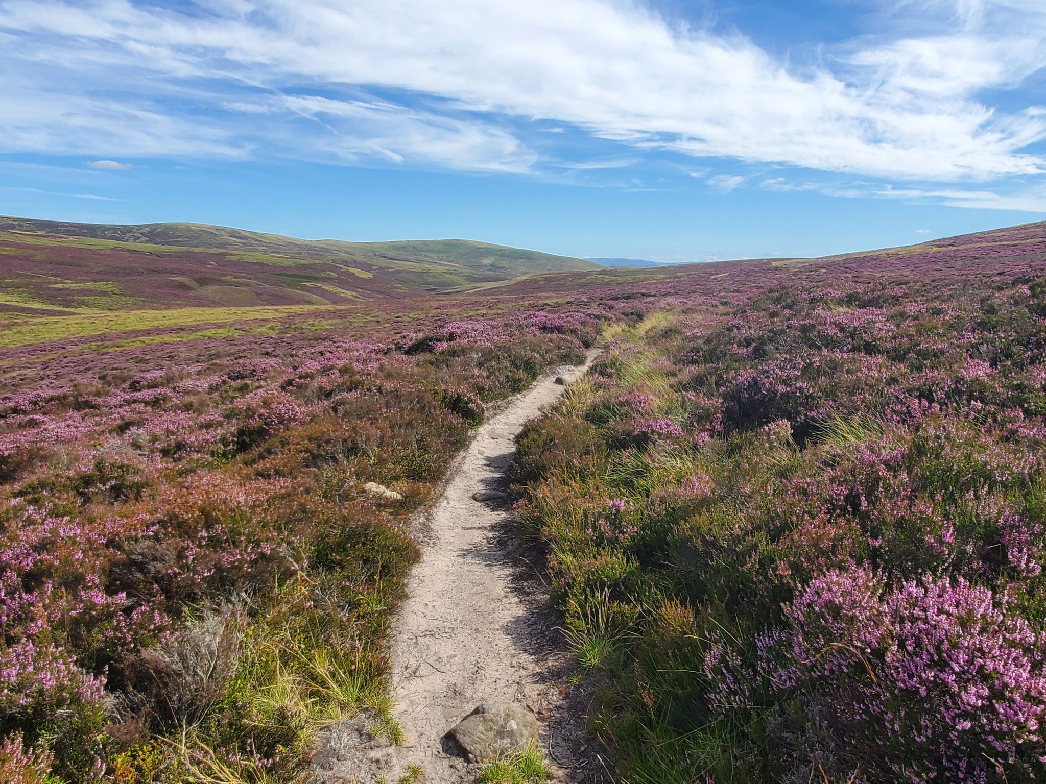
Hike in the footsteps of history – Cross Borders Drove Road
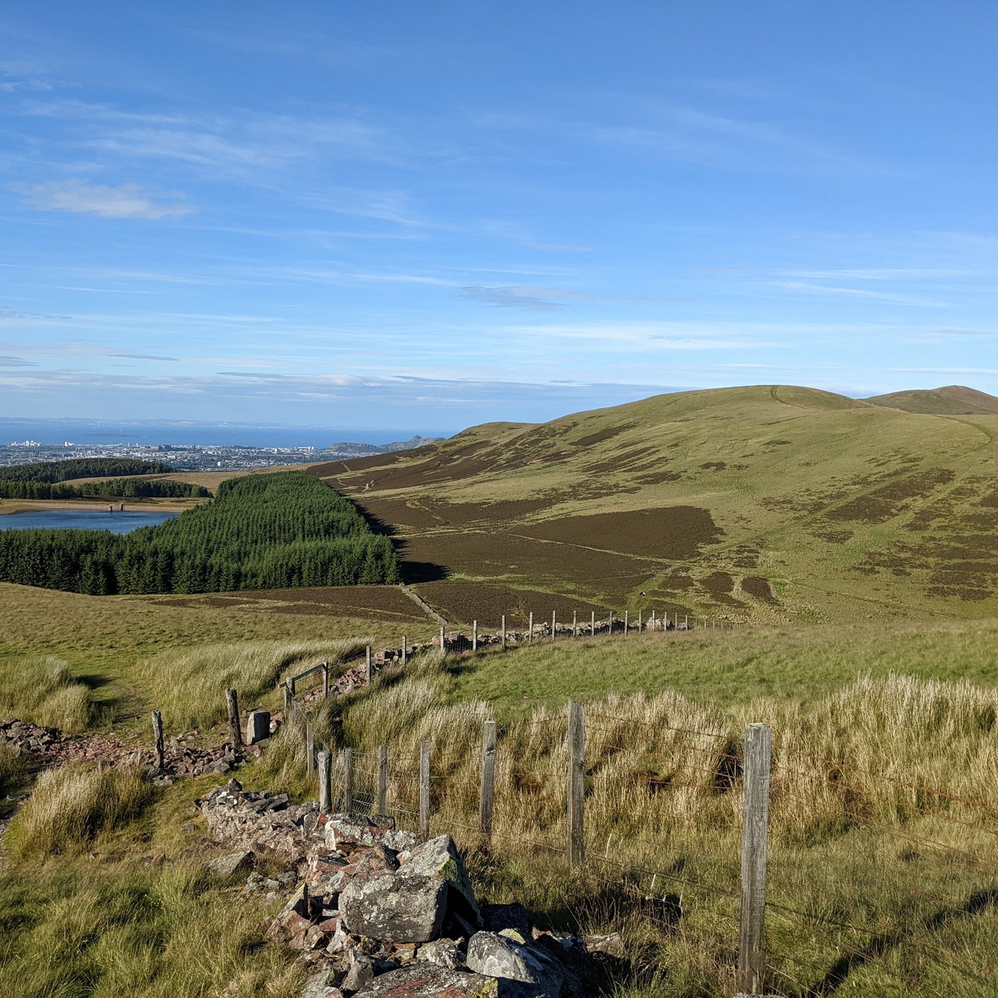
Running Trails around Pentland Hills Regional Park
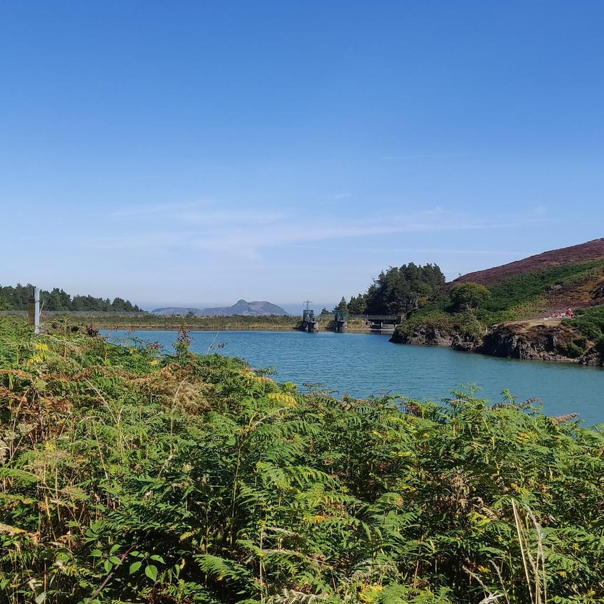
Road Cycling Routes around Pentland Hills Regional Park
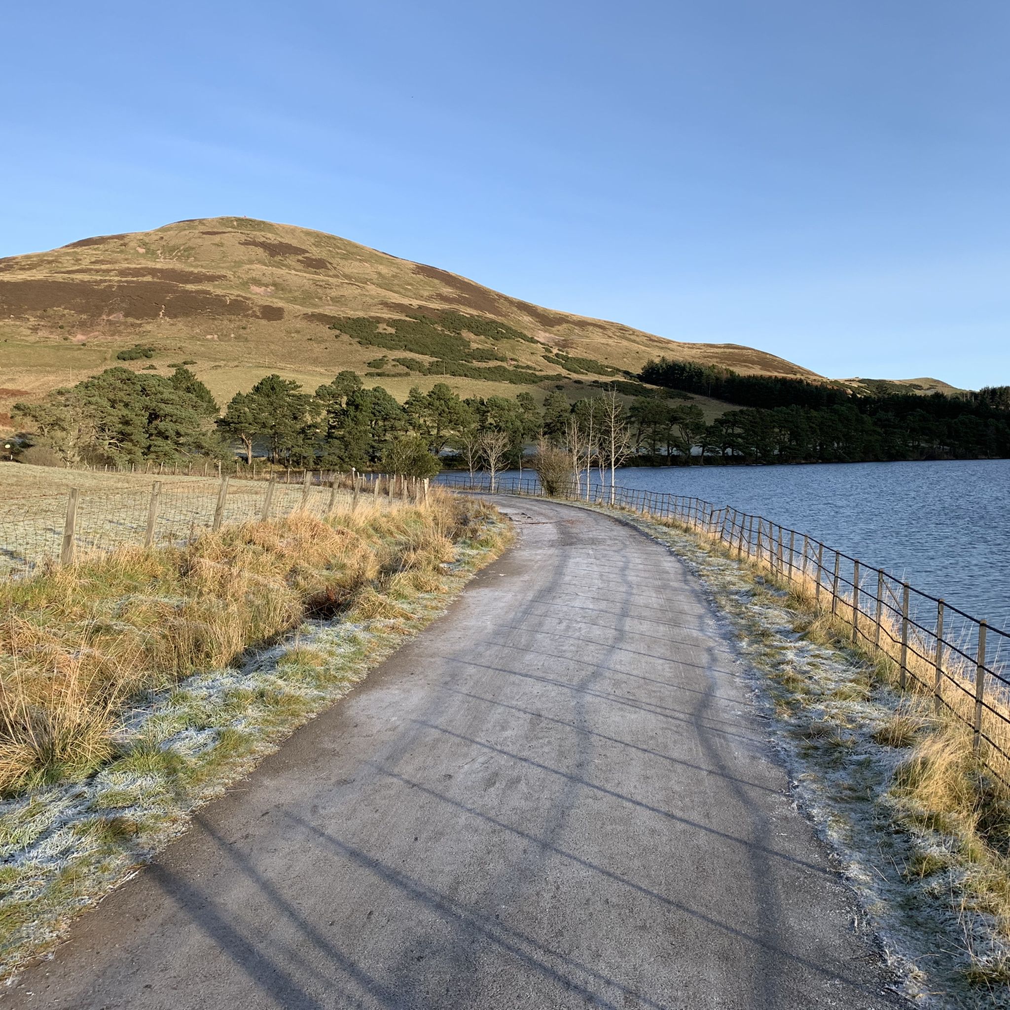
Cycling around Pentland Hills Regional Park
MTB Trails around Pentland Hills Regional Park

Gravel biking around Pentland Hills Regional Park
Other adventures around Pentland Hills Regional Park

Tips from the Community

The Pentland Hills (a range of hills south of Edinburgh) offer countless hiking opportunities. One of the "best" (= the northernmost) is Allermuir Hill. There are many paths up the mountain, but the best route is undoubtedly the panoramic route from the Midlothian Snowsports Center parking lot to the summit. The center is...???...interesting... (Skiing on mats in the summer is also possible!), and the summit offers magnificent views in all directions!
0
0


Stunning views. Path gets very gravelly so care needed if you are less experienced off-road
0
0

After the peaks it's all flat terrain and definitely more busy on a dry day. Walk the way back after the last peak if you prefer the challenge of it.
0
0

This is one of the most prominent hills of the Pentland Hills. You have superb views toward Edinburgh, the Firth of Forth, and on clear days, even the Fife and Scottish Highlands. The walk to the summit is moderate, and you'll be walking through diverse landscapes from grassy slopes to more rugged and rocky sections near the top.
1
0

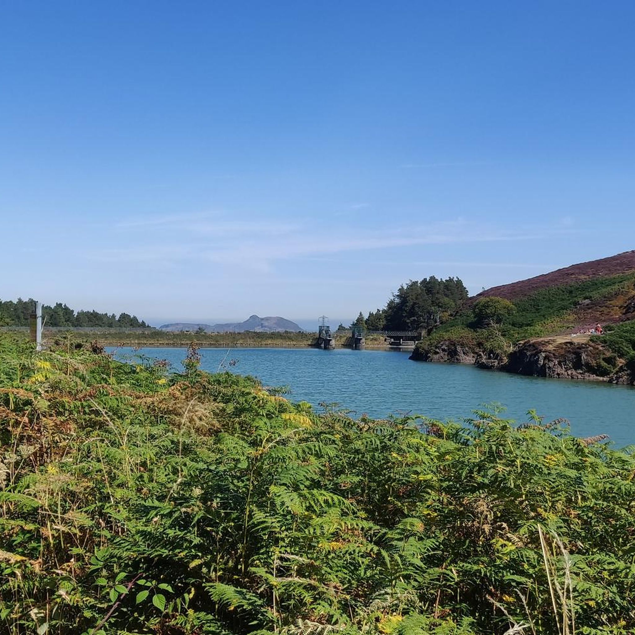
Nestled amongst the Pentland Hills, Glencorse Reservoir is incredibly picturesque. It was built between 1820 and 1824 to provide water to mills in the area and supply drinking water to Edinburgh. Today, the reservoir still supplies water to 450,000 people. The reservoir was created by constructing a dam, which is 77 feet (23.5 m) at its highest point.
2
0

Frequently Asked Questions
How do I get to the Pentland Hills from Edinburgh using public transport?
Several bus routes connect Edinburgh to the park's main trailheads. Lothian Buses service routes to access points like Swanston, Hillend, and Bonaly. For the popular Flotterstone entrance, you can take a bus service that runs along the A702. Always check the latest timetables before you travel.
Are there any easy, family-friendly walks in the Pentlands?
Yes, the park has several gentle routes suitable for families. The Harlaw Woodland Walk is a popular 2-mile circular trail around the Harlaw Reservoir. Another great option is the Glencorse View Walk from the Flotterstone Visitor Centre, which is a relatively easy 2.5-mile walk along the Glencorse Burn.
Can I bring my dog on hikes in the Pentland Hills?
Dogs are welcome in the Pentland Hills Regional Park. However, it's a working landscape with grazing sheep and cattle, so you must keep your dog under close control at all times, and on a lead where livestock is present, especially during lambing season (typically April to June).
What should I wear for a hike in the Pentlands?
The weather in the Pentlands can change very quickly. It's essential to wear sturdy hiking boots with good grip, as trails can be muddy and uneven. Layering your clothing is key, and a waterproof jacket is a must-have, even if the forecast looks clear. In autumn and winter, a hat and gloves are also recommended.
Are there any circular walks that include reservoir views?
Many trails in the Pentlands feature the park's beautiful reservoirs. For a longer, scenic loop, consider The Pentland Hills Reservoir loop from Threipmuir Reservoir. This moderate 10-mile (16 km) route takes you around both the Threipmuir and Harlaw reservoirs, offering peaceful waterside paths.
What's a good challenging hike that covers multiple peaks?
For a strenuous day out with rewarding views, the West & East Kip plus Scald Law loop from Threipmuir Reservoir is an excellent choice. This 7.7-mile (12.4 km) route tackles three of the main summits in the range, including the highest point, Scald Law.
Which hike offers the best views of Edinburgh?
For fantastic panoramic views over the city, the Caerketton Hill & Allermuir Hill loop from Lothianburn is hard to beat. Allermuir Hill is one of the closest peaks to Edinburgh, and this 3.5-mile (5.7 km) trail provides a direct reward with sweeping vistas of the capital and the Firth of Forth.
How many hiking trails are in the Pentland Hills?
There are over 160 different hiking routes to explore around Pentland Hills Regional Park on komoot, covering a 62-mile (100 km) network of maintained paths. These range from easy strolls to challenging multi-peak traverses, offering something for every fitness level.
What do other hikers think of the trails in the Pentlands?
The area is highly regarded by the komoot community, with an average rating of 4.7 stars. Hikers often praise the stunning views over Edinburgh, the well-maintained paths, and the feeling of being in the wild so close to the city.
What are the main differences between the trailheads?
The main trailheads offer different experiences. Flotterstone is very popular, with a visitor centre and access to routes around Glencorse Reservoir and major peaks like Turnhouse Hill. Swanston provides a quieter start, with lovely walks up to Caerketton and Allermuir Hills. Threipmuir, to the west, is the gateway to trails around the Harlaw and Threipmuir reservoirs and the western Kips.
Is there a pub for a post-hike meal or drink?
Yes, after a hike starting or finishing at the Flotterstone car park, many people visit the Flotterstone Inn, which is conveniently located right by the entrance to the park. It's a popular spot for a rewarding meal or drink.
How does hiking in the Pentlands compare to climbing Arthur's Seat?
While Arthur's Seat offers an iconic, short, and steep climb right in the city centre, the Pentland Hills provide a much more extensive and varied hiking experience. The Pentlands offer a true sense of escaping into the countryside with a vast network of longer trails, multiple peaks, and tranquil reservoirs, feeling much more remote than Arthur's Seat.
Most popular routes around Pentland Hills Regional Park
Most popular attractions around Pentland Hills Regional Park

Get inspired with the komoot mobile app


Explore more
Browse the best Hikes in other regions.
