The best hikes from bus stations in Obwalden
4.5
(5884)
43,556
hikers
246
hikes
Bus station hiking trails in Obwalden offer access to a diverse landscape characterized by majestic mountains, serene lakes, and unique moorland areas. This central Swiss canton provides a wide array of routes, from challenging alpine paths to peaceful lakeside walks. The region's well-developed public transport network makes many trailheads easily accessible without a car.
Best bus station hiking trails in Obwalden
- The most popular bus station hiking route is Sbrinz Route: Engelberg to Grafenort, a 5.5 miles (8.9 km)…
Last updated: October 15, 2026
4.7
(158)
791
hikers
8.89km
02:29
10m
450m
Hike the moderate 5.5-mile Engelberg Aa Gorge adventure trail, following the river through a shady forest with bridges and waterfalls.
4.8
(63)
280
hikers
24.7km
08:38
1,040m
1,040m
Hard hike. Very good fitness required. Mostly accessible paths. Sure-footedness required.

4.5
(30)
216
hikers
14.0km
05:19
830m
830m
Hard hike. Very good fitness required. Mostly accessible paths. Sure-footedness required.
4.6
(7)
67
hikers
21.1km
07:44
1,210m
1,210m
Hike the challenging 13.1-mile Aaschlucht-Lutersee-Engelberg tour, featuring a gorge, suspension bridges, and the idyllic Lutersee.
4.8
(115)
657
hikers
13.8km
04:50
450m
450m
Moderate hike. Good fitness required. Mostly accessible paths. Sure-footedness required.
Get access to more routes and recommendations from other explorers.
Already have an account?
Our route recommendations are based on thousands of hikes, rides, and runs completed by other people on komoot.
Start today with a free account
Your next adventure awaits.
Popular around Obwalden

Hikes from bus stations around Melchsee

Hikes from bus stations around Tannensee
Hikes from bus stations around Wichelsee

Hikes from bus stations around Sarnersee

Hikes from bus stations around Lungerersee

Trans Swiss Trail – Hiking across Switzerland
Via Alpina – The 15 stages of the Green Route

Via Jacobi – Following the Way of St James across Switzerland
Utterly refreshing – 9 watery hikes in Nidwalden

On the Tell Trail over the Big 6 of Central Switzerland
Other adventures in Obwalden


Tips from the Community

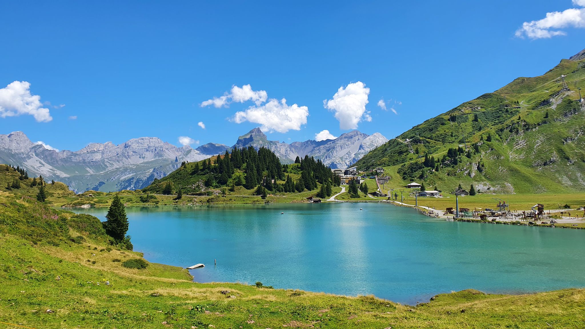
The Tannensee is an artificially created reservoir. In terms of beauty, it surpasses the nearby Melchsee by lengths. It also provides a magnificent photo opportunity and, in its entirety, reminds us of the wild romance of the Scottish Highlands. If a column of kilt-wearing Scots, or barefoot hobbits, were to walk along its shore... we would hardly be surprised.
0
0

Tip top for families and other people
1
0

The Tannensee impresses with its clear water and the magnificent alpine scenery at around 2,000 meters altitude. A beautiful spot for a short break and one of the scenic highlights around Melchsee-Frutt.
0
0
The small chapel on Melchsee-Frutt blends harmoniously into the impressive mountain landscape. A quiet place for a short break and a beautiful photo opportunity with a magnificent view of the surrounding peaks.
0
0

The chapel on Melchsee-Frutt is a tranquil place for contemplation amidst the mountains. It is idyllically situated near Lake Melchsee and offers a beautiful panoramic view. Hikers and visitors appreciate the simple architecture and the peaceful atmosphere, which invites them to linger and reflect.
5
0

Lake Lutersee can be reached from Engelberg and Grafenort, among other places. From Grafenort, you can take two small cable cars (Mettlen - Rugisbalm - Unter Lutersee). Then it's a good hour's walk up to the lake. From Lake Lutersee, you can see Mount Titlis, and in calm weather, it's reflected in the lake's surface.
0
0


Frequently Asked Questions
How many bus station hiking trails are available in Obwalden?
Obwalden offers a wide selection of bus-accessible hiking trails. You'll find over 240 routes that start or end near a bus station, providing convenient access to the region's diverse landscapes.
What do other hikers enjoy most about the bus-accessible trails in Obwalden?
The komoot community highly rates the bus-accessible trails in Obwalden, with an average score of 4.6 out of 5 stars from over 5,000 ratings. Hikers often praise the stunning mountain panoramas, serene lake views, and the convenience of public transport access.
Are there easy bus-accessible hikes suitable for beginners in Obwalden?
Yes, Obwalden has plenty of options for beginners. There are 93 easy bus-accessible routes, perfect for a leisurely stroll or those new to hiking. Many of these trails offer gentle inclines and beautiful scenery without demanding too much effort.
What kind of natural features can I expect to see along these bus station hiking trails?
Obwalden's bus-accessible trails showcase a variety of natural beauty. You can explore majestic mountains like Mount Pilatus and Stanserhorn, serene lakes such as Lake Sarnen and Lake Lungern, and unique moorland landscapes in the Langis-Glaubenberg region. Some routes also feature impressive gorges like the Aaschlucht Gorge.
Are there any family-friendly bus-accessible hikes in Obwalden?
Absolutely! Obwalden is great for families. Many trails are suitable for children, including theme trails like the Fruttli path around Melchsee-Frutt or the Schacherseppli adventure trail. Look for routes with less elevation gain and shorter distances for a comfortable family outing.
Can I bring my dog on the bus-accessible hiking trails in Obwalden?
Many trails in Obwalden are dog-friendly, allowing you to enjoy the scenery with your canine companion. However, always check local regulations and ensure your dog is kept on a leash, especially in nature reserves or near livestock. Public transport rules for dogs may vary, so it's advisable to check with the specific bus operator before your trip.
What are some notable landmarks or points of interest accessible from bus stops?
Beyond the natural landscapes, you can discover interesting points of interest. For example, the Sbrinz Route: Engelberg to Grafenort offers historical context. You might also encounter unique geological formations like the Natural Tunnel in the Aas Gorge or the Chastelendossen rock formation.
Are there any circular bus-accessible routes in Obwalden?
Yes, many bus-accessible routes in Obwalden are circular, allowing you to start and end at the same bus stop without needing to retrace your steps. For instance, the View of Melchsee – Tannensee loop from Tannensee offers a beautiful circular experience around two stunning lakes.
When is the best time of year to hike the bus-accessible trails in Obwalden?
The hiking season in Obwalden typically runs from May to October. Lower altitude trails are accessible earlier and later in the season, while higher alpine routes, such as those around Mount Pilatus, may remain snow-covered until mid-June. Autumn offers spectacular foliage, and some areas like Melchsee-Frutt and Langis-Glaubenberg also provide well-prepared winter hiking trails.
Are there any challenging bus-accessible hikes for experienced hikers?
Experienced hikers will find plenty of challenges. Obwalden offers 46 difficult bus-accessible routes, often involving significant elevation changes and longer distances. An example is the demanding Aawasser Surenental – Engelberg route, which covers over 24 km with substantial ascent and descent.
Can I find food and drink options near bus stops along the trails?
Many popular hiking areas and bus stops in Obwalden have cafes, restaurants, or mountain huts nearby where you can refuel. It's always a good idea to check the specific route details or local tourist information for available amenities before you set out, especially for more remote trails.
What is the Obwalden High Trail and is it bus-accessible?
The Obwalden High Trail is a multi-day hike known for its spectacular panoramas and diverse landscapes, leading from Pilatus around the Sarner Aa valley to the Stanserhorn. While it's a longer, multi-day experience, various sections and access points are indeed reachable by public transport, allowing you to explore parts of this renowned route using bus connections.
Most popular routes in Obwalden
Most popular attractions in Obwalden

Get inspired with the komoot mobile app


Didn’t find what you were looking for?
Check out more Hikes throughout Obwalden below and find the perfect route in your destination.
