The best hikes from bus stations in the Sierra Nevada
4.7
(8677)
96,368
hikers
189
hikes
Hiking in the Sierra Nevada offers diverse terrain, from rugged peaks to alpine lakes and dense forests. The region is characterized by glacially-carved valleys, towering granite formations, and giant sequoia groves. This vast mountain range provides a variety of ecosystems and landscapes for exploration.
Best bus station hiking trails in the Sierra Nevada
- The most popular bus station hiking route is Vernal and Nevada Falls via Mist Trail, a difficult 8.3 miles (13.4 km) trail that takes 5 hours…
Last updated: September 27, 2026
4.9
(712)
5,810
hikers
13.4km
05:19
680m
680m
The Vernal and Nevada Falls via Mist Trail is a challenging 8.3-mile (13.4 km) hike in Yosemite National Park, gaining 2221 feet (677 metres) over an estimated 5 hours and…
4.8
(403)
4,136
hikers
10.3km
03:50
460m
460m
The Vernal Fall and Clark Point Loop via Mist Trail and John Muir Trail offers an immersive Yosemite experience, taking you from the banks of the Merced River to the…

4.9
(220)
1,490
hikers
9.04km
03:41
740m
740m
Embark on the Upper Yosemite Fall Trail, a moderate hike that takes you on a rewarding ascent. This route covers 5.6 miles (9.0 km) with a significant elevation gain of…
4.8
(143)
2,187
hikers
7.54km
02:40
320m
320m
Embark on the Mist Trail to Vernal Fall for a memorable hike through Yosemite National Park. This moderate route spans 4.7 miles (7.5 km) and involves a climb of 1038…
4.7
(156)
1,196
hikers
10.3km
02:43
100m
100m
Embark on the Lower and Upper Mirror Lakes loop, a moderate 6.4-mile (10.3 km) hike in Yosemite Valley. You will gain 325 feet (99 metres) over an estimated 2 hours…
Get access to more routes and recommendations from other explorers.
Already have an account?
Our route recommendations are based on thousands of hikes, rides, and runs completed by other people on komoot.
Start today with a free account
Your next adventure awaits.
Popular around Sierra Nevada

John Muir Trail – Along the legendary trail through the magical Sierra Nevada

American Discovery Trail — Walking from sea to shining sea

The Sierra High Route — Solitude in California's alpine country

Pacific Crest Trail from Mexico to Canada – 4,200 kilometres of wilderness
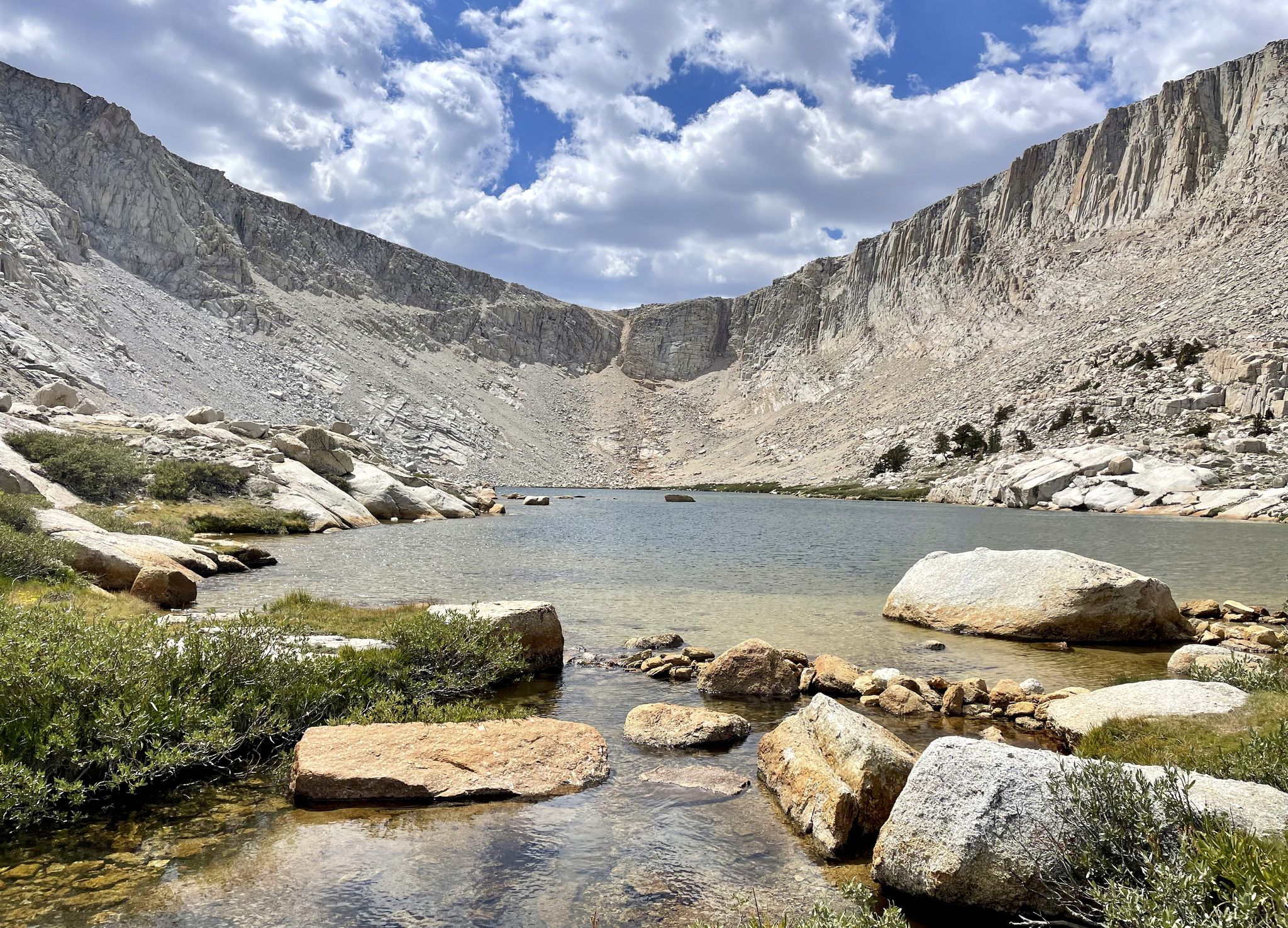
Cottonwood Lakes Loop — Exploring the Golden Trout Wilderness

Tahoe Rim Trail — Hiking along the Jewel of the Sierra
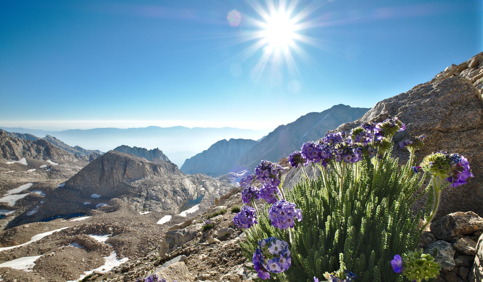
The High Sierra Trail — The Ultimate Sierra Experience

The tour of your life – music trails on the Pacific coast

California to Nevada – hiking between Volcanoes, Water & Forest
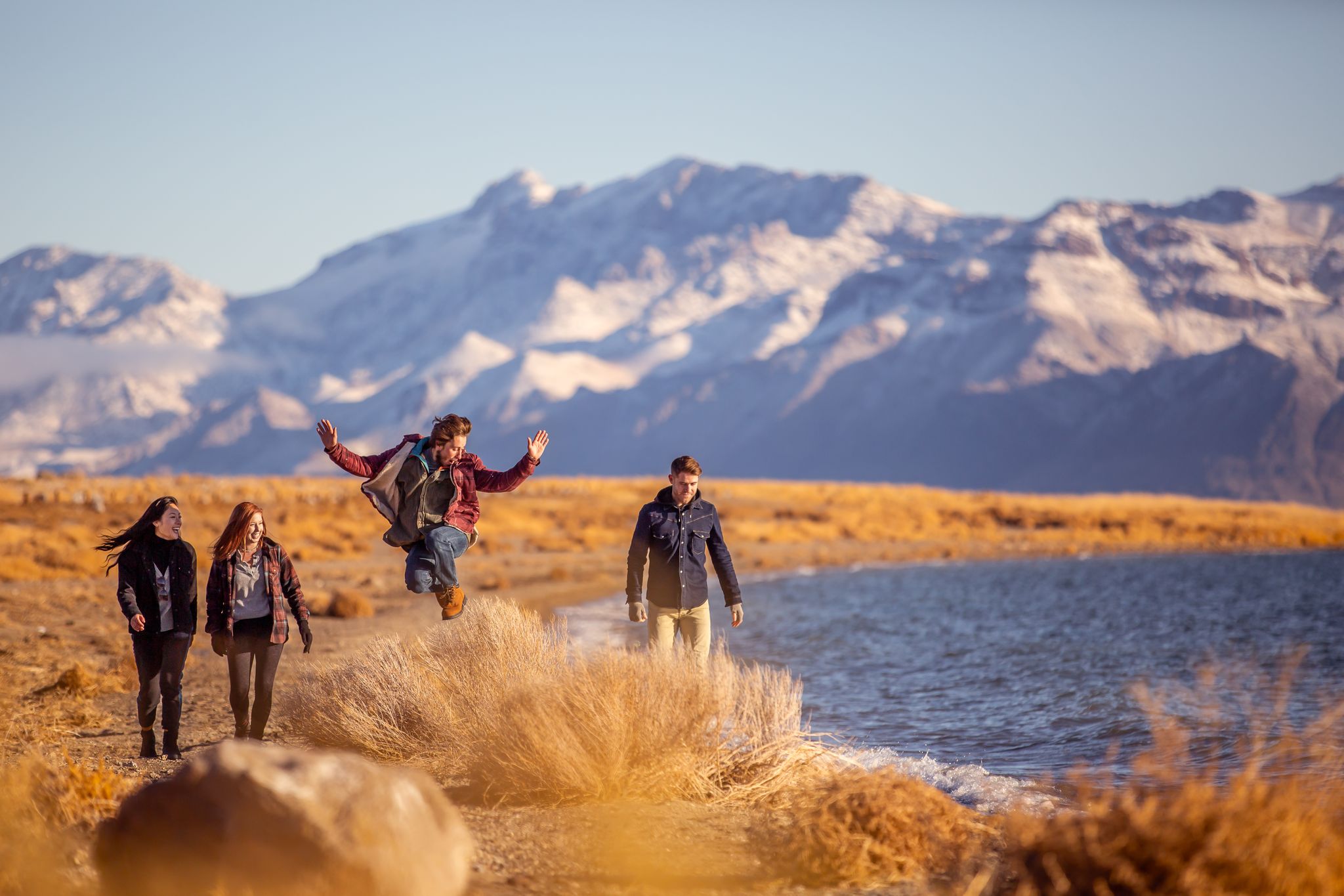
Basecamp Nevada – hiking Tours in the Silver State
Other adventures in the Sierra Nevada


Tips from the Community

The Mist Trail is much easier to hike uphill in early summer (snowmelt) than downhill because it becomes very slippery. Instead of returning the same way, it's recommended to head a little further upstream, turning right, onto the John Muir Trail—not only because of the slippery descent, but also because this leads to the best vantage point for Vernal Falls (marked on the map). Especially when the Merced River is full, the view is spectacular. The descent on the John Muir Trail is then much easier. Warning for photographers: During snowmelt, only take photos in the "splash zone" with a truly waterproof (submersible!) camera—and pack any other camera in a completely waterproof bag beforehand and only unpack it again at the top. Several careless camera owners have destroyed their equipment on this trail. I once heard a man at the top complaining about a broken Hasselblad – it was in his backpack, but obviously not completely waterproof. The fine mist penetrates everywhere, and even with a rain jacket, you end up wet like you've just taken a shower. On warm summer days, the trail is extremely crowded, with several thousand visitors on just a few kilometers of trail.
0
1
In summer, the most crowded trail in the entire park begins here. It's actually only bearable during the week in the off-season, but on summer weekends, several thousand people are spread out over just a few kilometers of trail.
0
0

It's worth it... but don't stop at the beach right away; instead, continue walking up. From here, you'll have a fantastic view of the mountains and their reflections.
0
0

You get really wet when you go up the steps at Verna Fall
0
0

Very nice for cooling your legs and nice for a picnic
0
0

Beautiful view of a magnificent panorama
0
0
It is important to consider the time of year. In late summer/autumn, the waterfall often no longer has any water...
0
0
When the waterfall is full of water, it is certainly very impressive. Unfortunately, it is not that way all year round. So it is better to check beforehand...
0
0
Frequently Asked Questions
How many hiking trails are accessible from bus stations in the Sierra Nevada?
There are over 180 hiking routes in the Sierra Nevada that are conveniently accessible from bus stations. These trails offer a wide range of experiences, from easy strolls to challenging ascents, allowing you to explore the region's diverse landscapes without needing a car.
What do hikers enjoy most about bus-accessible trails in the Sierra Nevada?
The komoot community highly rates these trails, with an average score of 4.7 stars from over 8,100 ratings. Hikers frequently praise the stunning natural beauty, including towering peaks, crystal-clear lakes, and dramatic waterfalls. The convenience of reaching trailheads via public transport is also a significant highlight, allowing for immersive experiences in iconic areas like Yosemite National Park.
Are there any trails near bus stops that feature waterfalls?
Yes, the Sierra Nevada is renowned for its spectacular waterfalls, and several bus-accessible trails lead to them. For an iconic experience, consider the Mist Trail to Vernal Fall, which offers breathtaking views of Vernal Fall. Another option is the Vernal and Nevada Falls via Mist Trail, which continues to the impressive Nevada Fall.
Are there any family-friendly bus-accessible hikes in the Sierra Nevada?
Many trails cater to families, offering easier terrain and shorter distances. A great option is the Lower and Upper Mirror Lakes loop from Valley Shuttle Stop #15. This moderate route takes you past the serene Mirror Lake, providing relatively flat paths and beautiful scenery suitable for most ages.
What kind of terrain and elevation can I expect on bus-accessible trails?
The Sierra Nevada offers a wide variety of terrain, from gentle valley floors to steep mountain ascents. You can find easy trails with minimal elevation gain, moderate routes with rolling hills, and difficult hikes involving significant climbs. For example, the Upper Yosemite Fall Trail is a challenging hike with over 700 meters of elevation gain, leading to spectacular views of Yosemite Valley.
Are there any circular routes accessible by bus in the Sierra Nevada?
Yes, circular routes are available, allowing you to start and end your hike at the same bus stop. A notable example is the Vernal Fall and Clark Point Loop via Mist Trail and John Muir Trail. This moderate loop provides diverse scenery and a rewarding experience, bringing you back to your starting point.
What are some notable landmarks or points of interest along these bus-accessible routes?
Beyond the stunning waterfalls, you can discover various natural landmarks. Many trails offer views of iconic granite formations and access to beautiful alpine lakes. For instance, the Mirror Lake area is a popular spot, and other highlights like Eagle Lake and Tenaya Lake are also found within the Sierra Nevada, though specific bus routes to all of them may vary.
What is the best time of year to hike bus-accessible trails in the Sierra Nevada?
The best time to hike in the Sierra Nevada generally depends on the elevation and specific trail. Lower elevation trails are often accessible from late spring through fall. Higher elevation routes, especially those in national parks like Yosemite, are best enjoyed from late spring (May/June) to early fall (October) when snow has melted and bus services are fully operational. Always check current conditions and bus schedules before planning your trip.
Are permits required for bus-accessible hikes in the Sierra Nevada?
Permit requirements vary depending on the specific trail and whether you plan to do an overnight backpacking trip. Day hikes in popular areas like Yosemite National Park generally do not require a wilderness permit, but some specific trails or entry points might have reservation systems or timed entry during peak seasons. Always check the official National Park Service website or relevant land management agency for the most up-to-date permit information for your chosen route.
Can I bring my dog on bus-accessible hiking trails in the Sierra Nevada?
Dog policies vary significantly across the Sierra Nevada, especially within national parks and wilderness areas. Generally, dogs are not permitted on most hiking trails in national parks like Yosemite, Sequoia, and Kings Canyon, with exceptions often limited to paved roads, campgrounds, and specific designated areas. Always check the specific park or forest regulations for the trail you plan to hike before bringing your dog.
Most popular routes in the Sierra Nevada
Most popular attractions in the Sierra Nevada

Get inspired with the komoot mobile app


Explore more
Browse the best Hikes in other regions.
