The best hikes from bus stations in Haute-Garonne
4.5
(5190)
47,705
hikers
842
hikes
Hiking in Haute-Garonne offers diverse landscapes, from the high peaks of the Pyrenees in the south to the serene valleys of the Garonne River. The region is characterized by extensive forests, rolling hills, and notable water features like glacial lakes and waterfalls. This variety provides a wide array of bus station hiking trails suitable for different preferences and skill levels.
Best bus station hiking trails in Haute-Garonne
- The most popular bus station hiking route is Lac de Saint-Ferréol – Lac de Saint-Ferréol loop from Bassin de Saint-Ferréol, a 4.0 miles (6.4 km) trail that takes 1 hour 41 minutes to complete. This easy route circles the scenic Lac de Saint-Ferréol.
- Another top favourite among local hikers is View of the Ariège river – Cascade du Ramier loop from Vernet, a moderate 5.1 miles (8.2 km) path. This trail offers views of the Ariège river and features the Cascade du Ramier.
- Local hikers also love the Rebigue orientation table – Rebigue Viewpoint loop from Mervilla, a 6.0 miles (9.7 km) trail leading through rolling hills and offering panoramic views, often completed in about 2 hours 45 minutes.
- Hiking in Haute-Garonne is defined by the majestic Pyrenees mountains, the meandering Garonne River, and extensive forests. The network offers options for different ability levels, from gentle riverside strolls to challenging mountain ascents.
- The routes in Haute-Garonne are highly rated by the komoot community with an average score of 4.5 stars from over 4600 reviews. More than 44000 hikers have used komoot to explore Haute-Garonne's varied terrain.
Last updated: July 11, 2026
4.6
(49)
623
hikers
Easy hike. Great for any fitness level. Easily-accessible paths. Suitable for all skill levels.
4.7
(56)
219
hikers
8.32km
02:21
150m
150m
Moderate hike. Good fitness required. Mostly accessible paths. Sure-footedness required.

Sign up for free
4.7
(27)
103
hikers
9.67km
02:45
220m
220m
Moderate hike. Good fitness required. Easily-accessible paths. Suitable for all skill levels.
4.5
(28)
164
hikers
Moderate hike. Good fitness required. Easily-accessible paths. Suitable for all skill levels.
4.6
(27)
115
hikers
8.09km
02:30
270m
270m
Moderate hike. Good fitness required. Mostly accessible paths. Sure-footedness required.
Get access to more routes and recommendations from other explorers.
Sign up for free
Already have an account?
Our route recommendations are based on thousands of hikes, rides, and runs completed by other people on komoot.
Start today with a free account
Your next adventure awaits.
Login or Signup
Popular around Haute-Garonne

GR 10 – Explore the Ariège Pyrenees crossing the Pyrenees
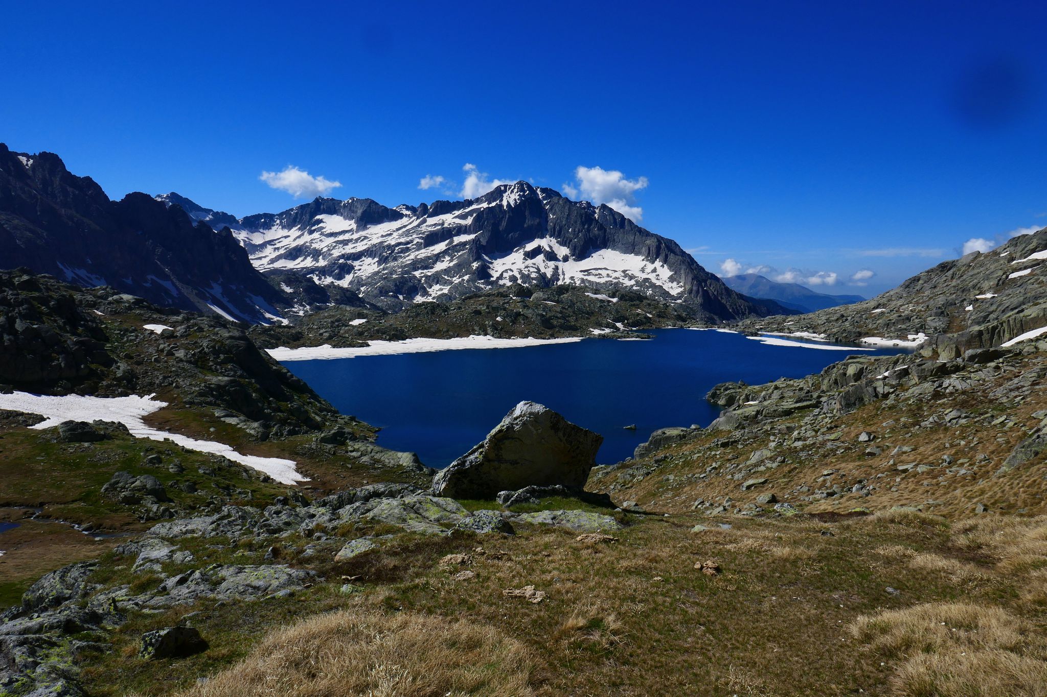
GR 10 – Central Pyrenees crossing the Pyrenees

Panoramic Pyrenees – 15 hikers' peaks of over 3,000 metres
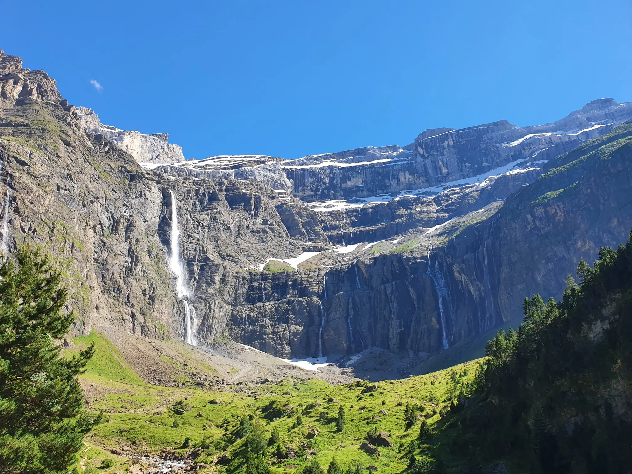
In the heart of the massif – the best hikes in the Central Pyrenees
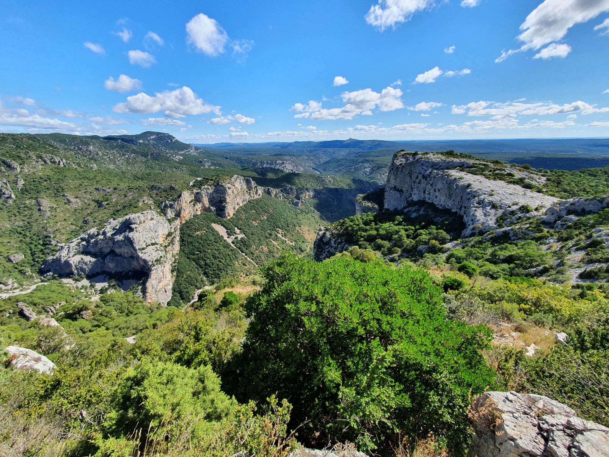
On the way to Compostela – Via Tolosana (Arles Way)

On wild ridges: Catalonia to Ariège – Hexatrek, Eastern Pyrenees

Hiking to the summits – France's highest points
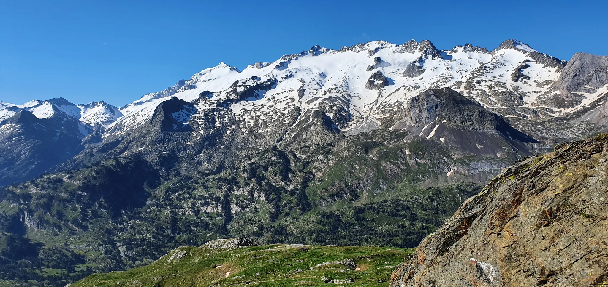
From the Queen to the King of the Pyrenees – a spectacular loop from Luchon
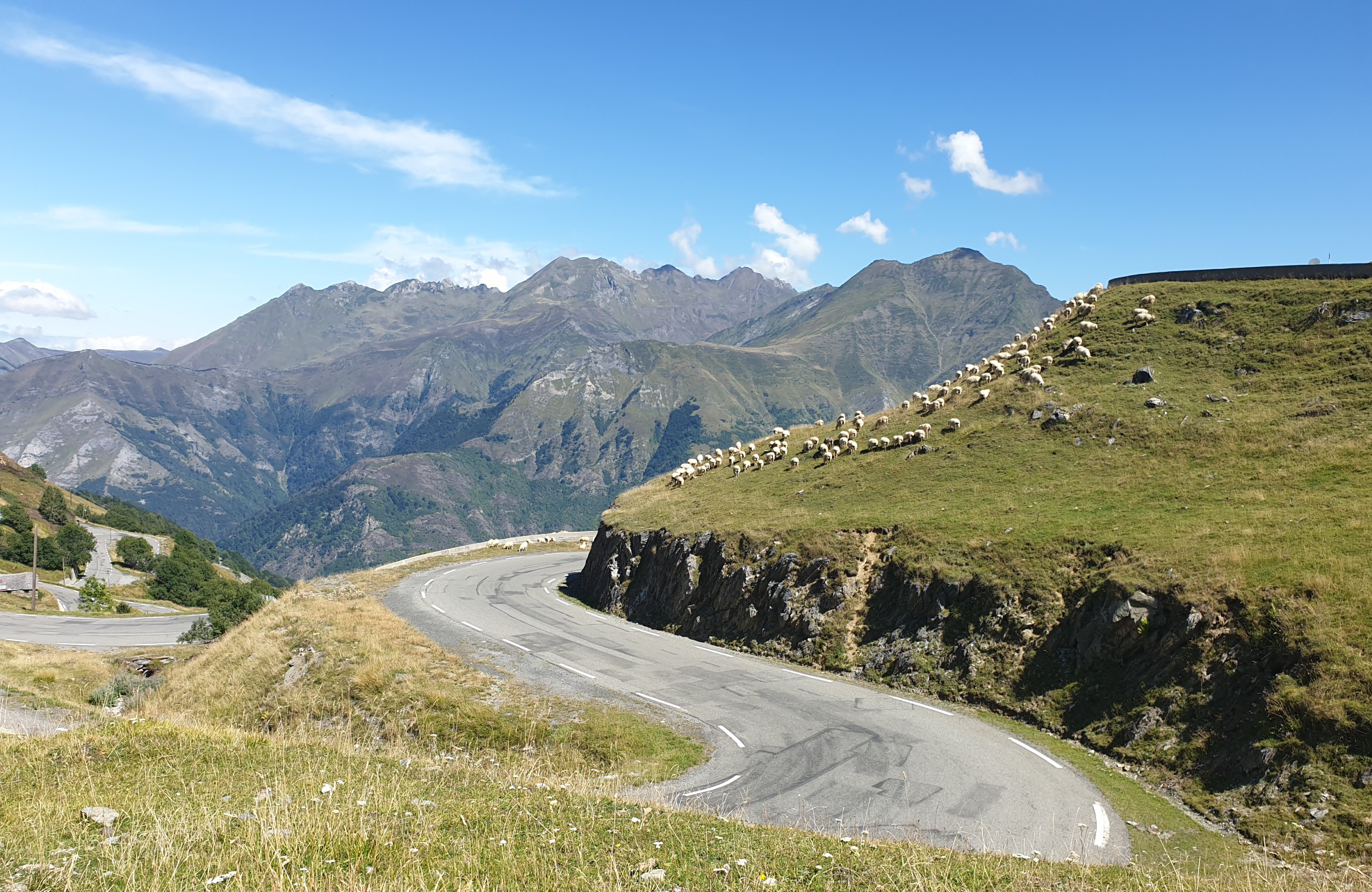
Between myths and legends – emblematic passes of the Pyrenees
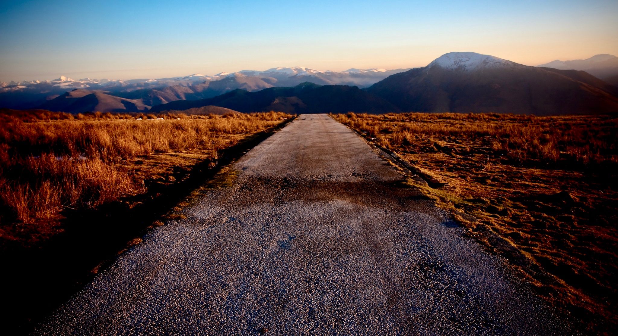
Coast to coast across the Pyrenees on your road bike
Other adventures in Haute-Garonne


Tips from the Community

Very nice single track along the Garonne, very pleasant and pretty!
0
0


Right next door is Rochemontes Castle, a must-see. I couldn't tell you which side of the river it is; it all depends on where you're coming from. There's some serious stuff for those who enjoy it. 😉 Enjoy your walk
0
0

Only crossing of the Garonne nearby
0
0

impressive view of the Garonne
0
1

Exploring the beautiful Lac de Saint-Ferréol near Revel, you will discover an oasis of tranquility. You can hike along the shores of the lake and admire the views of the surrounding hills.
0
0
Frequently Asked Questions
How many bus-accessible hiking trails are available in Haute-Garonne?
Haute-Garonne offers a vast network of over 790 hiking trails that are accessible from bus stations, providing numerous options for exploring the region without a car. These routes cater to various skill levels, from easy strolls to more challenging mountain treks.
Are there easy bus-accessible hikes suitable for beginners or families in Haute-Garonne?
Yes, Haute-Garonne has over 390 easy bus-accessible routes perfect for beginners or families. These trails often follow the gentler terrain of the Garonne River valleys or explore forests and rolling hills. An example is the Lac de Saint-Ferréol – Lac de Saint-Ferréol loop from Bassin de Saint-Ferréol, which is an easy 6.4 km walk around a beautiful lake.
What kind of landscapes can I expect on bus-accessible hikes in Haute-Garonne?
You can experience a diverse range of landscapes. The southern part of Haute-Garonne offers majestic Pyrenean peaks, extensive forests, and mountain lakes. Further north, trails follow the serene Garonne River and meander through rolling hills and woodlands. Many routes provide panoramic views, especially in the higher elevations.
Can I find hikes with waterfalls or lakes that are accessible by bus?
Absolutely. The Pyrenees region of Haute-Garonne is renowned for its stunning water features. Many trails lead to spectacular glacial lakes and waterfalls. For instance, Lac d'Oô is famous for its impressive waterfall and is a highlight on many hiking routes, often accessible via public transport connections to nearby villages.
Are there any circular hiking routes accessible by bus in Haute-Garonne?
Yes, many bus-accessible routes in Haute-Garonne are designed as circular loops, allowing you to start and end your hike at the same point, often conveniently located near a bus stop. This makes planning your public transport journey much simpler. The Rebigue orientation table – Rebigue Viewpoint loop from Mervilla is a moderate circular route offering great views.
What historical or cultural landmarks can I explore on bus-accessible trails in Haute-Garonne?
Haute-Garonne's trails often pass through or near historically significant locations. The Via Garona (GR861), for example, connects Toulouse to Saint-Bertrand-de-Comminges, a village classified among France's most beautiful, with its impressive cathedral and Romanesque basilica. Other routes might lead you past charming villages, Roman ruins, or even locks on the Canal du Midi, such as the Castanet Lock.
Are dogs allowed on bus-accessible hiking trails in Haute-Garonne?
Generally, dogs are welcome on many trails in Haute-Garonne, especially in less protected areas like forests and river paths. However, it's always advisable to check specific trail regulations, particularly in nature reserves or national park areas, and to keep your dog on a leash for their safety and to protect local wildlife.
What is the best time of year to go hiking from bus stations in Haute-Garonne?
The best time to hike in Haute-Garonne largely depends on the elevation. Spring (April-June) and autumn (September-October) offer pleasant temperatures and vibrant scenery, ideal for most trails. In summer (July-August), higher-altitude Pyrenean routes are popular, while lower-lying trails can be enjoyed in the cooler mornings or evenings. Winter hiking is possible, especially on lower-elevation paths, but requires appropriate gear and checking conditions for snow or ice in the mountains.
Are there any challenging bus-accessible hikes for experienced hikers?
Yes, for experienced hikers, the Pyrenean part of Haute-Garonne offers challenging bus-accessible routes with significant elevation gain and panoramic views. These include sections of the famous GR10 long-distance footpath. The Péquerin Footbridge – Gateway loop from Bagnères-de-Luchon is a moderate to challenging route with over 600 meters of elevation gain.
What do other hikers enjoy the most about hiking in Haute-Garonne?
The komoot community highly rates hiking in Haute-Garonne, with an average score of 4.49 stars. Reviewers often praise the incredible diversity of landscapes, from the dramatic Pyrenean peaks to the tranquil Garonne riverbanks. The well-marked trails, accessibility by public transport, and the opportunity to discover both natural beauty and historical sites are frequently highlighted as major draws.
Can I find trails along the Garonne River that are accessible by bus?
Yes, the Garonne River meanders through the department, offering numerous trails that are easily accessible by bus. These routes provide gentler terrain, perfect for leisurely walks, and opportunities to observe diverse birdlife. The Garonne Riverbanks – Garonne Footbridge loop from Gagnac-sur-Garonne is a great example of a moderate route along the river.
Most popular routes in Haute-Garonne
Most popular attractions in Haute-Garonne

Get inspired with the komoot mobile app


Explore more
Browse the best Hikes in other regions.
