The best walks and hikes in Haute-Garonne
4.5
(5126)
47,224
hikers
2,098
hikes
Hiking in Haute-Garonne presents a diverse landscape, ranging from the high peaks of the Pyrenees in the south to the verdant valleys of the Garonne River. The department features extensive forests, numerous mountain lakes, and rolling hills, offering varied terrain for outdoor activities. The southern part is dominated by the Pyrenees mountains, while the Garonne River meanders through the department, and glacial lakes like Lac d'Oô are prominent features. This geographical diversity provides a wide array of trails suitable for different experience levels.
Best hiking trails in Haute-Garonne
- The most popular hiking route is From Astau Barns to Saussat Lake via Oô Lake and Espingo Lake, an 8.3 miles (13.4 km) trail that takes 6 hours 0 minutes to complete, offering views of multiple mountain lakes.
- Another top favourite among local hikers is Port of Venasque and the Crabides ridge - loop from the Hospice of France, a difficult 9.9 miles (15.9 km) path with significant elevation gain and panoramic mountain vistas.
- Local hikers also love the Opposite Aneto – 3,404 metres (11,168 ft): highest point in the Pyrenees, a 10.0 miles (16.2 km) trail leading through high mountain terrain, often completed in about 8 hours 11 minutes.
- Hiking in Haute-Garonne is defined by the majestic Pyrenees, serene mountain lakes, and tranquil river valleys. The network offers options for various ability levels, from challenging high-altitude treks to gentler forest walks.
- The routes in Haute-Garonne are highly rated by the komoot community with an average score of 4.5 stars from over 4500 reviews. More than 44000 hikers have used komoot to explore Haute-Garonne's varied terrain.
Last updated: July 7, 2026
4.7
(144)
1,880
hikers
13.4km
06:00
930m
930m
Hard hike. Very good fitness required. Mostly accessible paths. Sure-footedness required.
4.9
(41)
465
hikers
15.9km
07:47
1,240m
1,240m
Hard hike. Very good fitness required. Mostly accessible paths. Sure-footedness required.

Sign up for free
4.9
(36)
428
hikers
16.2km
08:11
1,340m
1,330m
Hard hike. Very good fitness required. Mostly accessible paths. Sure-footedness required.
4.7
(43)
218
hikers
Moderate hike. Good fitness required. Mostly accessible paths. Sure-footedness required.
4.9
(42)
494
hikers
12.7km
06:20
1,030m
1,030m
Hard hike. Very good fitness required. Mostly accessible paths. Sure-footedness required.
4.7
(22)
307
hikers
10.8km
05:03
770m
770m
Hike a difficult 6.7-mile loop from Col de Menté to Pic de l'Escalette and Pic Cagire, gaining 2515 feet for panoramic Pyrénées views.
4.5
(41)
181
hikers
5.48km
01:32
110m
110m
Hike the easy 3.4-mile Pech David and Oppidum de Cluzel Loop for panoramic views of Toulouse, the Garonne River, and historical sites.
4.8
(30)
325
hikers
5.37km
01:23
30m
30m
Easy hike. Great for any fitness level. Easily-accessible paths. Suitable for all skill levels.
4.6
(41)
127
hikers
11.4km
02:55
50m
50m
Moderate hike. Good fitness required. Easily-accessible paths. Suitable for all skill levels.
4.5
(15)
227
hikers
12.7km
06:22
1,030m
1,030m
Hard hike. Very good fitness required. Sure-footedness, sturdy shoes and alpine experience required.
Get access to more routes and recommendations from other explorers.
Sign up for free
Already have an account?
Our route recommendations are based on thousands of hikes, rides, and runs completed by other people on komoot.
Start today with a free account
Your next adventure awaits.
Login or Signup
Popular around Haute-Garonne

GR 10 – Explore the Ariège Pyrenees crossing the Pyrenees
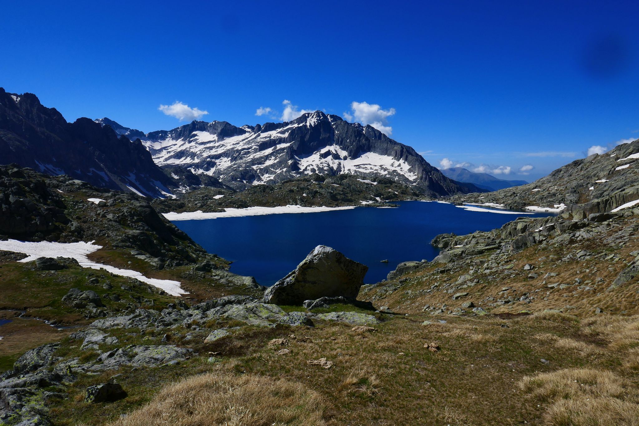
GR 10 – Central Pyrenees crossing the Pyrenees

Panoramic Pyrenees – 15 hikers' peaks of over 3,000 metres
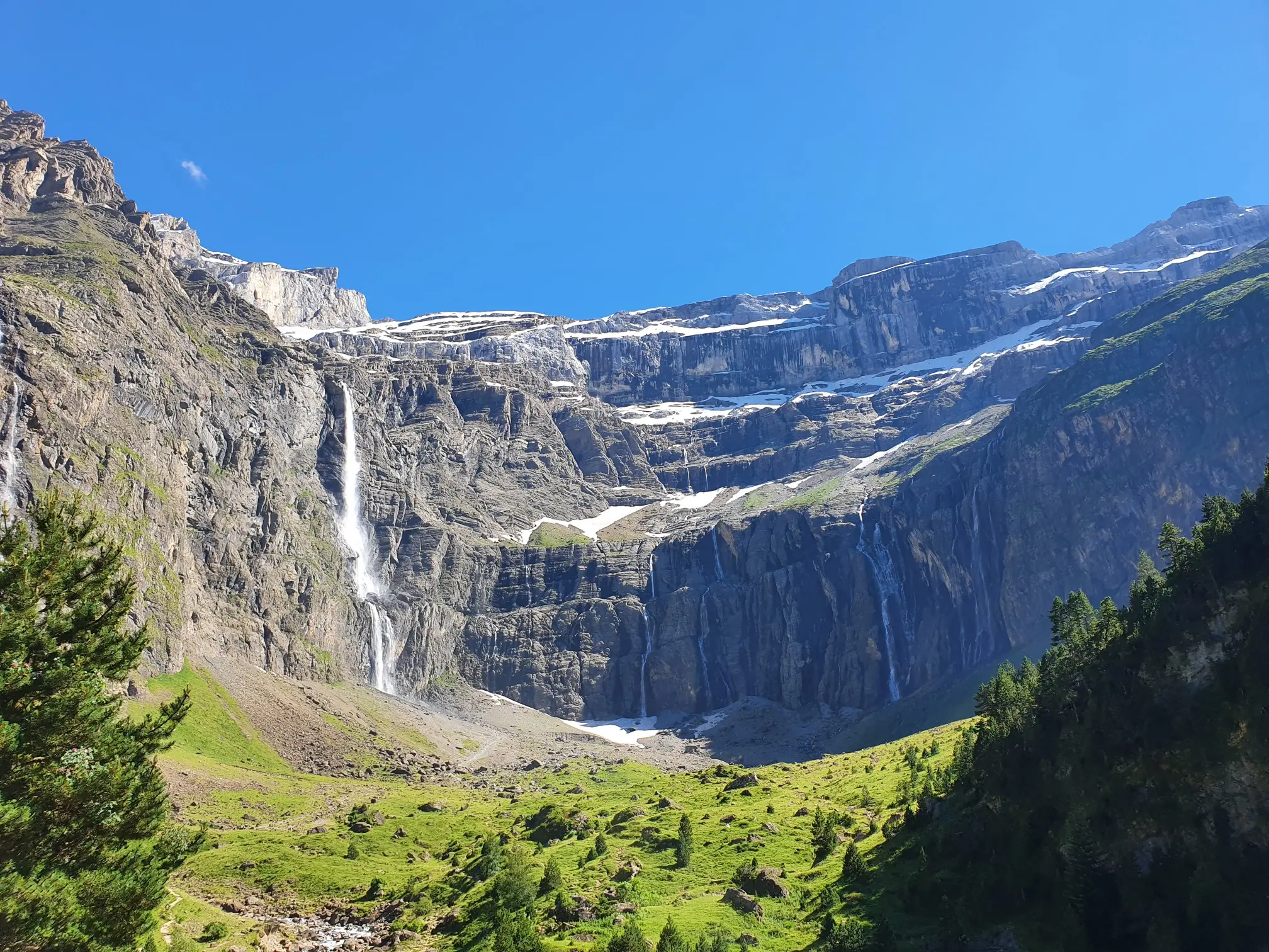
In the heart of the massif – the best hikes in the Central Pyrenees
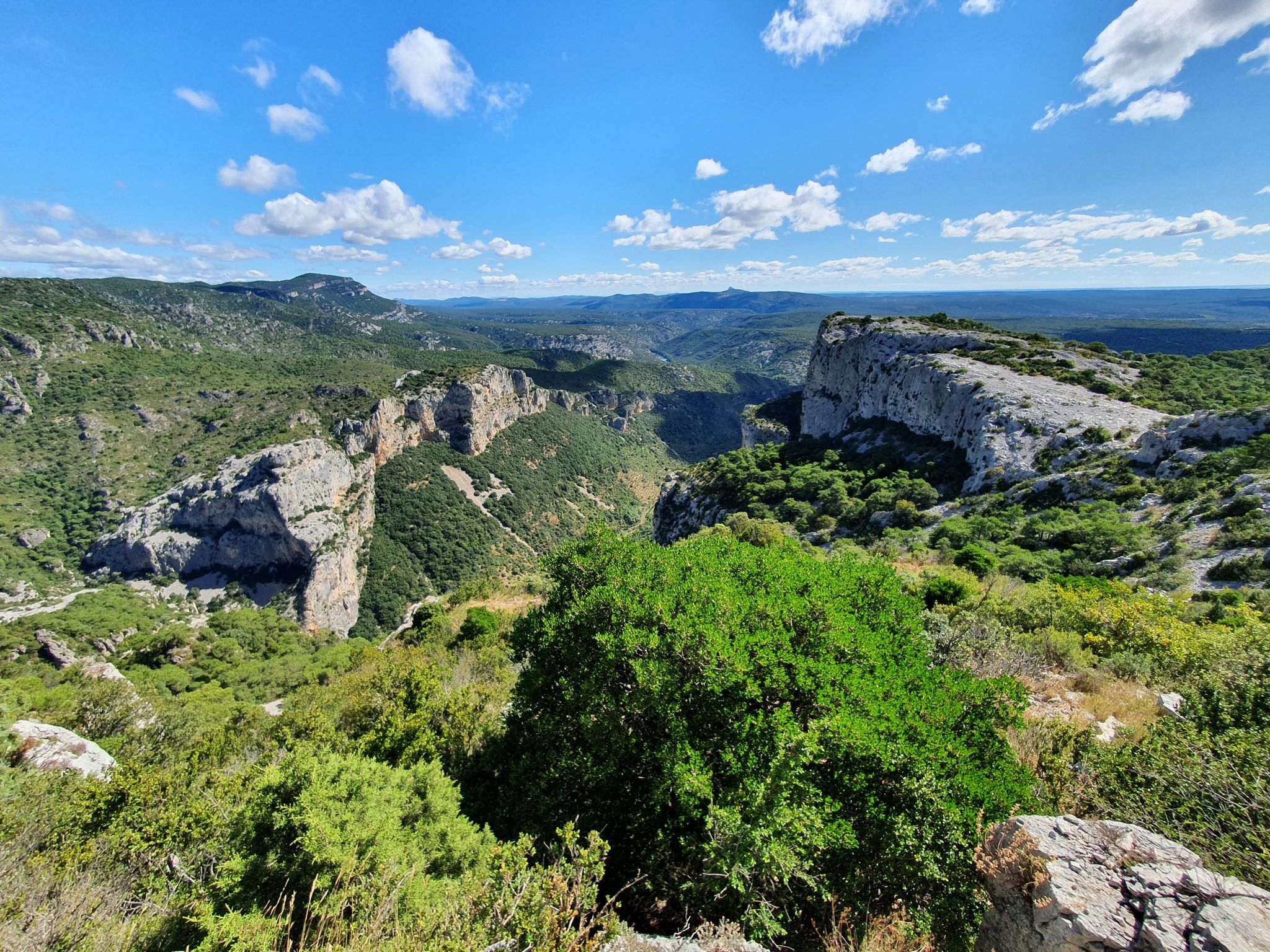
On the way to Compostela – Via Tolosana (Arles Way)

On wild ridges: Catalonia to Ariège – Hexatrek, Eastern Pyrenees

Hiking to the summits – France's highest points
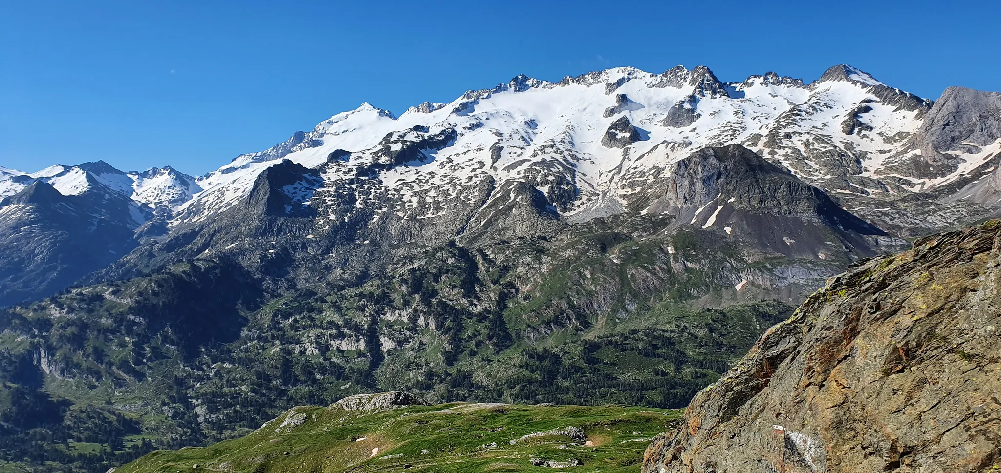
From the Queen to the King of the Pyrenees – a spectacular loop from Luchon
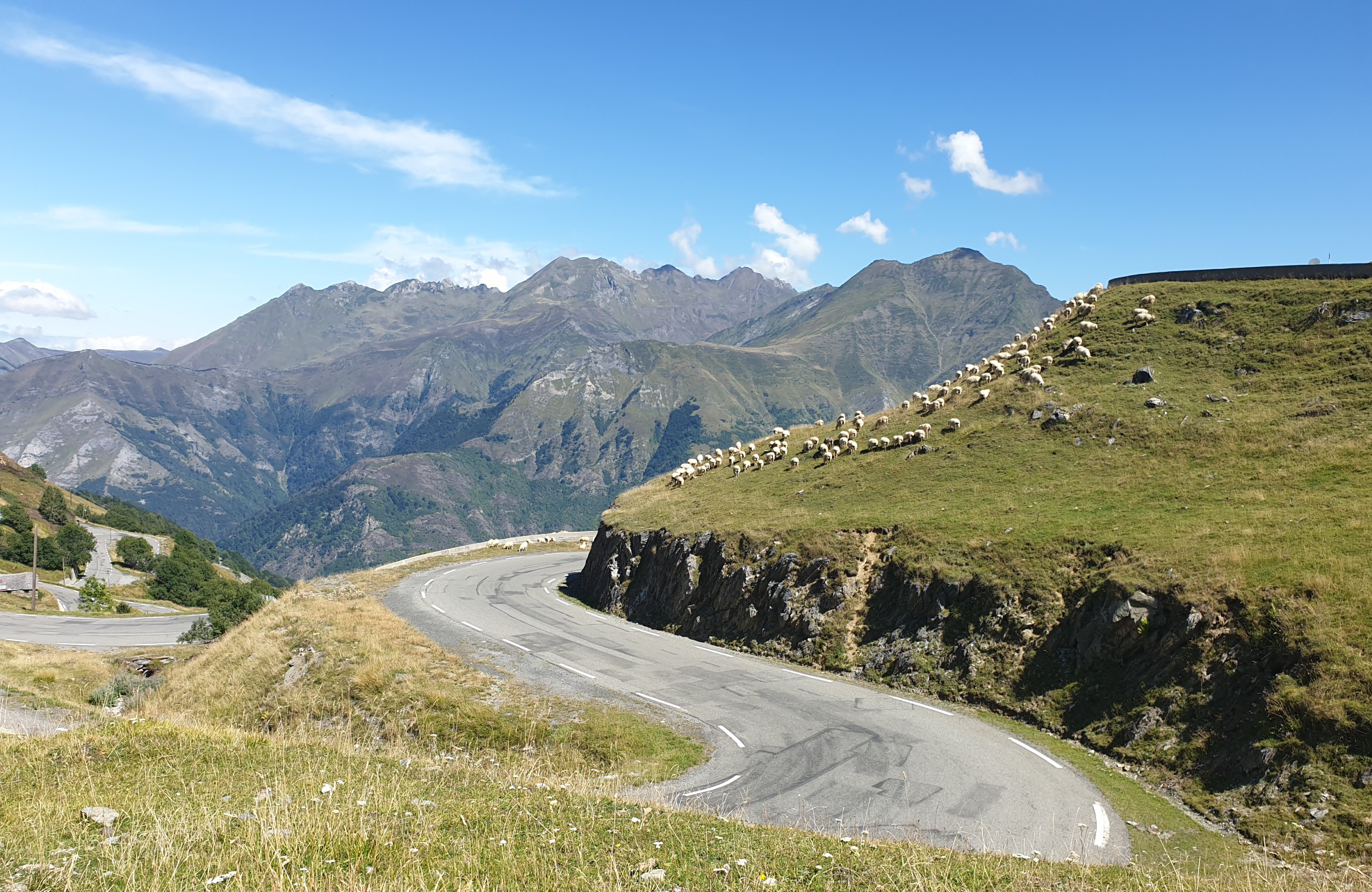
Between myths and legends – emblematic passes of the Pyrenees
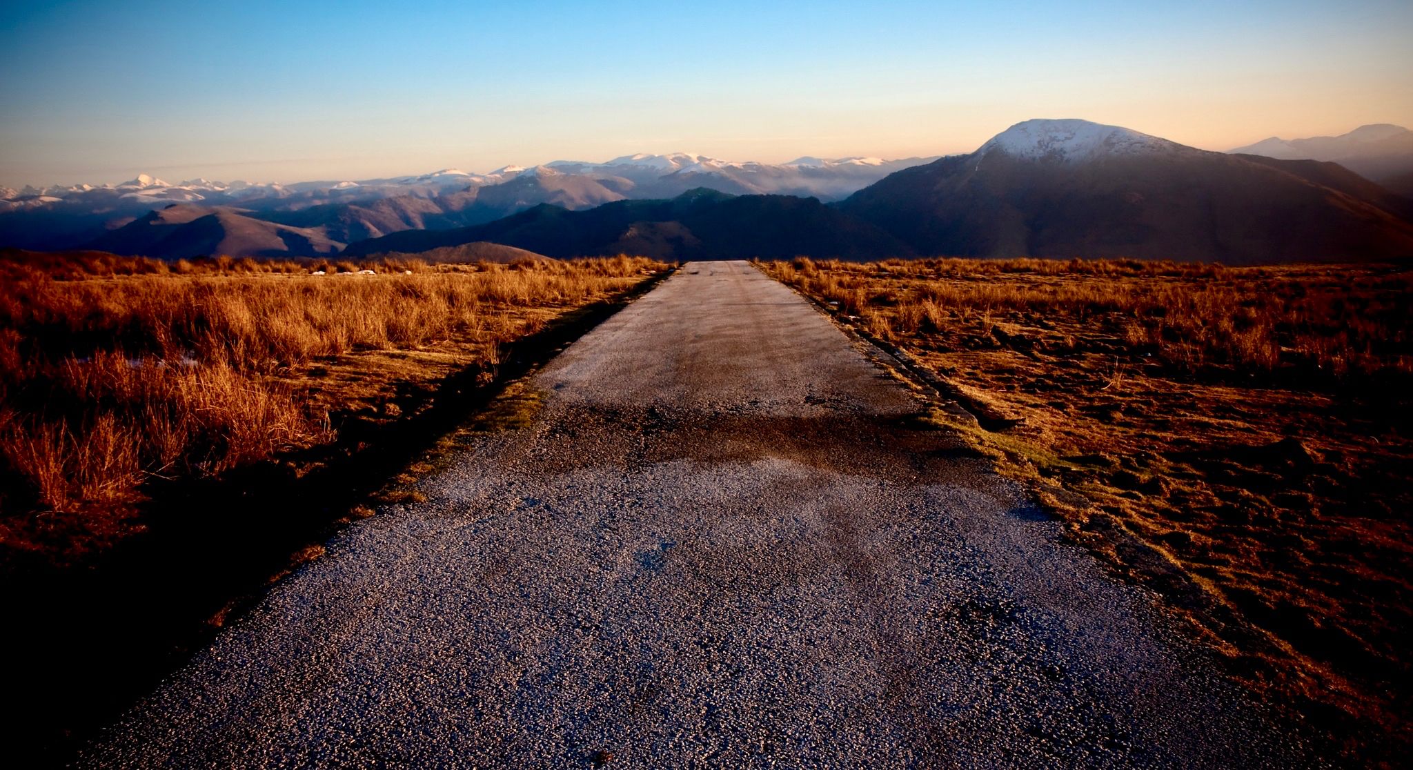
Coast to coast across the Pyrenees on your road bike
Other adventures in Haute-Garonne


Tips from the Community

Impressive, with what power the water falls and has created a fantastic landscape!
0
0
Impressive, with what force the water falls!
0
0
The ascent leads through an enchanted forest with lots of ferns and moss-covered stones and trees.
0
0
The Höllenwasserfall, so named because of the dramatic sounds, is an impressive natural event
0
0

Very nice single track along the Garonne, very pleasant and pretty!
0
0

One of the best spots for sunset. With clear weather and a fantastic view of the Pyrenees!
1
0

Right next door is Rochemontes Castle, a must-see. I couldn't tell you which side of the river it is; it all depends on where you're coming from. There's some serious stuff for those who enjoy it. 😉 Enjoy your walk
0
0

Only crossing of the Garonne nearby
0
0
Frequently Asked Questions
How many hiking trails are available in Haute-Garonne?
Haute-Garonne offers a vast network of over 2,000 hiking routes. These trails cater to all levels, from gentle walks through valleys to challenging ascents in the Pyrenees.
What kind of terrain can I expect on hikes in Haute-Garonne?
The terrain in Haute-Garonne is incredibly diverse. You'll find high mountain paths in the Pyrenees, serene trails around glacial lakes, forested tracks, and undulating hillsides in areas like Lauragais. The Garonne River valley also offers flatter, more accessible routes.
When is the best time of year to go hiking in Haute-Garonne?
The best time for hiking generally spans from spring to autumn. Summer offers warm weather for high-altitude treks, while spring and autumn provide milder temperatures and beautiful scenery in the valleys and lower mountains. Winter hiking is possible, especially at lower elevations, but requires appropriate gear and awareness of snow conditions in the Pyrenees.
Are there easy hiking trails suitable for beginners or families in Haute-Garonne?
Yes, Haute-Garonne has over 1,000 easy hiking routes. For a relaxed family-friendly option, consider the Tour of Lac de Thésauque, which is relatively flat and offers pleasant lakeside views. Another easy option is the Oppidum de Cluzel - Pech David loop near Toulouse.
What are some challenging hikes for experienced trekkers in Haute-Garonne?
For experienced hikers, the Pyrenees offer demanding trails with significant elevation gain. A notable challenging route is the Port of Venasque and the Crabides ridge - loop from the Hospice of France, known for its panoramic mountain vistas. Another difficult option is the Opposite Aneto – 3,404 metres (11,168 ft): highest point in the Pyrenees, which traverses high mountain terrain.
Are there any long-distance hiking routes in Haute-Garonne?
Yes, Haute-Garonne is home to sections of significant long-distance routes. The famous GR10, which crosses the Pyrenees from the Atlantic to the Mediterranean, passes through 68 km of Haute-Garonne. Additionally, the Via Garona (GR861) connects Toulouse to Saint-Bertrand-de-Comminges, following the Garonne River and offering a cultural journey.
Can I find circular hiking routes in Haute-Garonne?
Many trails in Haute-Garonne are designed as circular routes, allowing you to start and end at the same point. An example is the Loop towards the Waterfall, the Abyss and the Ru d'Enfer from the Lis valley, which offers a scenic return to your starting point.
Are there hikes that feature waterfalls or mountain lakes in Haute-Garonne?
Absolutely. The region is renowned for its stunning natural water features. The Lac d'Oô is a spectacular glacial lake with a 275-meter high waterfall, often a highlight on routes like From Astau Barns to Saussat Lake via Oô Lake and Espingo Lake. The Lis valley also features impressive waterfalls and gorges.
What natural landmarks or viewpoints can I see while hiking in Haute-Garonne?
Haute-Garonne offers numerous natural landmarks and breathtaking viewpoints. The Pyrenees peaks, such as Pic de Cagire and Perdiguero Peak, provide expansive panoramas. Glacial lakes like Lac d'Oô and Espingo Lake are also iconic natural sights along many trails.
Are there any historical or cultural sites accessible via hiking trails in Haute-Garonne?
Yes, many trails in Haute-Garonne pass through or near historically significant locations. The Via Garona (GR861) connects Toulouse to Saint-Bertrand-de-Comminges, a village classified among France's most beautiful, with its impressive cathedral and Romanesque basilica. You can also find castles like Château de Palaminy and Château de Saint-Béat in the region.
Are dogs allowed on hiking trails in Haute-Garonne?
Generally, dogs are welcome on many hiking trails in Haute-Garonne, especially in less protected areas. However, in national parks or nature reserves within the Pyrenees, there might be restrictions, particularly regarding keeping dogs on a leash or access to certain sensitive areas. Always check local regulations for specific trails, especially those in higher mountain regions, to ensure a pleasant and responsible hike with your dog.
What do other hikers enjoy most about hiking in Haute-Garonne?
The komoot community highly rates the hiking experience in Haute-Garonne, with an average score of 4.5 stars from over 4,500 reviews. Hikers frequently praise the stunning diversity of landscapes, from the majestic Pyrenees to tranquil lakes and lush valleys. The well-maintained trails and the opportunity to discover both challenging mountain treks and gentle forest walks are also often highlighted.
Is public transport available to access hiking trailheads in Haute-Garonne?
Public transport options exist for reaching some trailheads, particularly those closer to larger towns or along major routes. However, for many of the more remote mountain trails in the Pyrenees, direct public transport might be limited, and a car is often recommended for easier access. It's advisable to check local bus schedules or regional transport services for specific starting points.
Most popular routes in Haute-Garonne
Most popular attractions in Haute-Garonne

Get inspired with the komoot mobile app


Explore more
Browse the best Hikes in other regions.
