The best walks and hikes in the Long Range Mountains
4.6
(148)
1,413
hikers
26
hikes
Hiking in the Long Range Mountains offers access to the northernmost section of the Appalachian mountain chain, characterized by rugged topography and ancient geological features. The region features steep coastal cliffs, highland plateaus, and flat-topped peaks, shaped by glacial erosion. Hikers can explore unique landscapes like the Tablelands, where the Earth's mantle is exposed, alongside diverse ecosystems ranging from coastal fjords to alpine barrens. This area provides a range of hiking experiences across varied terrain.
Best hiking trails in the Long Range Mountains
- The most popular hiking route is Tablelands Trail, a 2.5 miles (4.1 km) trail that takes 1 hour 7 minutes to complete. This easy path offers a unique opportunity to walk on exposed mantle rock.
- Another top favourite among local hikers is Bakers Brook Falls loop from Berry Hill, a moderate 6.1 miles (9.9 km) path. This route leads through forested areas to a scenic waterfall.
- Local hikers also love the Gros Morne ponds – Gros Morne Mountain Trail loop from Deer Brook, a 9.9 miles (15.9 km) trail leading through challenging mountain terrain, often completed in about 6 hours 30 minutes.
- Hiking in the Long Range Mountains is defined by rugged topography, glacial fjords, and unique geological features like the exposed mantle of the Earth. The network offers options for different ability levels, from easy walks to challenging multi-day treks.
- The routes in Long Range Mountains are highly rated by the komoot community with an average score of 4.6 stars from over 140 reviews. More than 1300 hikers have used komoot to explore Long Range Mountains's varied terrain.
Last updated: July 3, 2026
4.5
(33)
282
hikers
4.08km
01:07
70m
70m
Easy hike. Great for any fitness level. Easily-accessible paths. Suitable for all skill levels.
9.13km
02:48
320m
320m
Moderate hike. Good fitness required. Easily-accessible paths. Suitable for all skill levels.

Sign up for free
5.0
(1)
24
hikers
7.07km
02:55
590m
590m
Moderate hike. Good fitness required. Easily-accessible paths. Suitable for all skill levels.
11
hikers
2.45km
00:40
40m
40m
Easy hike. Great for any fitness level. Easily-accessible paths. Suitable for all skill levels.
7.39km
01:56
60m
60m
Easy hike. Great for any fitness level. Easily-accessible paths. Suitable for all skill levels.
4.8
(24)
219
hikers
17.2km
07:07
820m
820m
Hard hike. Very good fitness required. Sure-footedness, sturdy shoes and alpine experience required.
4.8
(24)
148
hikers
9.85km
02:36
90m
90m
Moderate hike. Good fitness required. Easily-accessible paths. Suitable for all skill levels.
4.8
(12)
143
hikers
6.05km
02:04
330m
330m
Moderate hike. Good fitness required. Easily-accessible paths. Suitable for all skill levels.
5.0
(7)
91
hikers
9.25km
03:30
320m
320m
Moderate hike. Good fitness required. Mostly accessible paths. Sure-footedness required.
4.8
(4)
47
hikers
11.9km
04:01
540m
540m
Moderate hike. Good fitness required. Easily-accessible paths. Suitable for all skill levels.
Get access to more routes and recommendations from other explorers.
Sign up for free
Already have an account?
Our route recommendations are based on thousands of hikes, rides, and runs completed by other people on komoot.
Start today with a free account
Your next adventure awaits.
Login or Signup



Tips from the Community

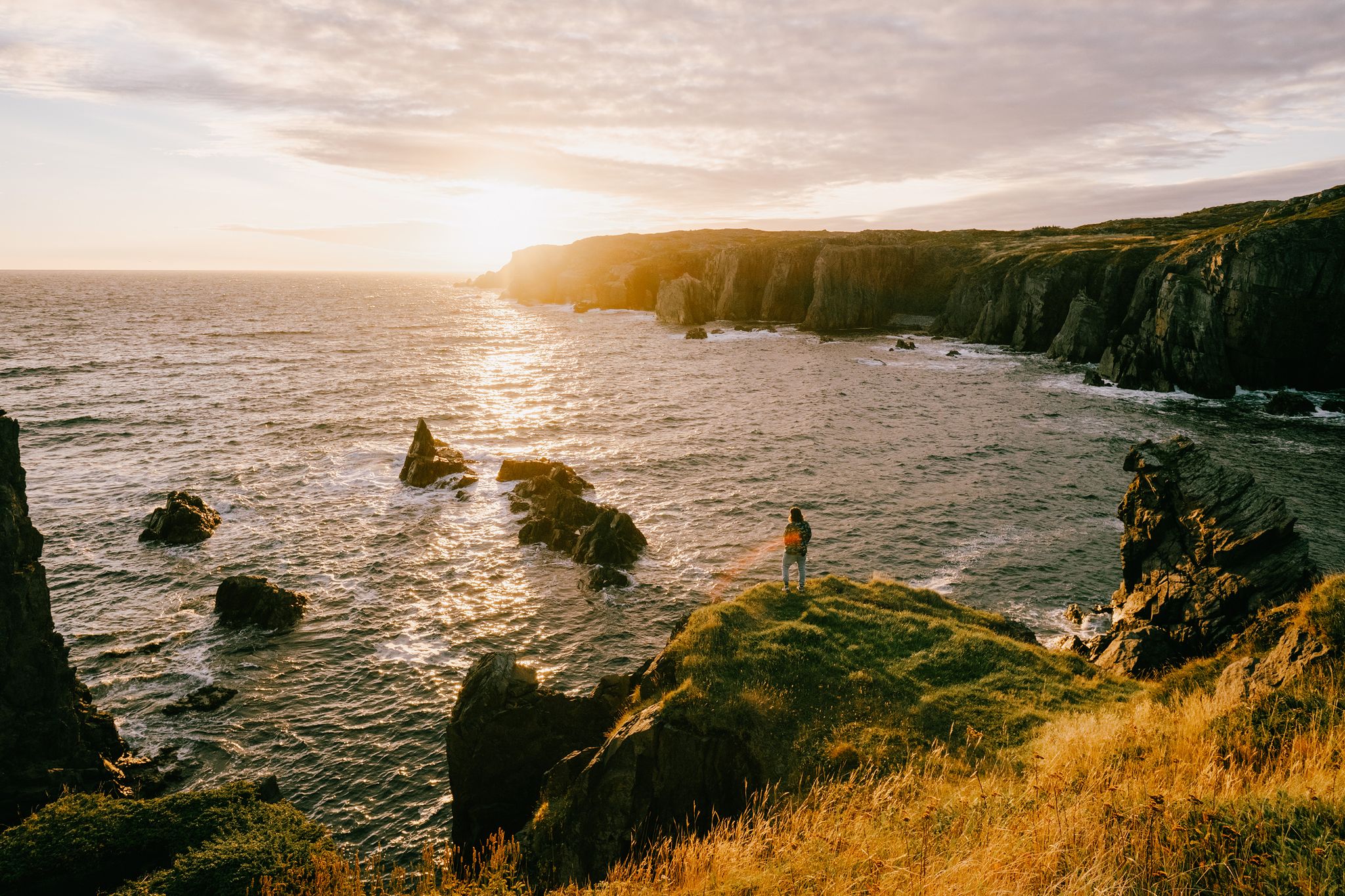
From here you'll have a great view over the bay where the Trout River empties into the sea. It can be windy so bring a coat, and if you're able to time your hike for sunset you'll be treated something truly special.
0
0
Though only a short trail outside of Trout River you may get the feeling that you're walking to the end of the world. The trail is just over one kilometer long but you'll traverse dramatic sea cliffs with endless views across the water. If you can time your visit with sunset you'll have a a hike to remember!
0
0
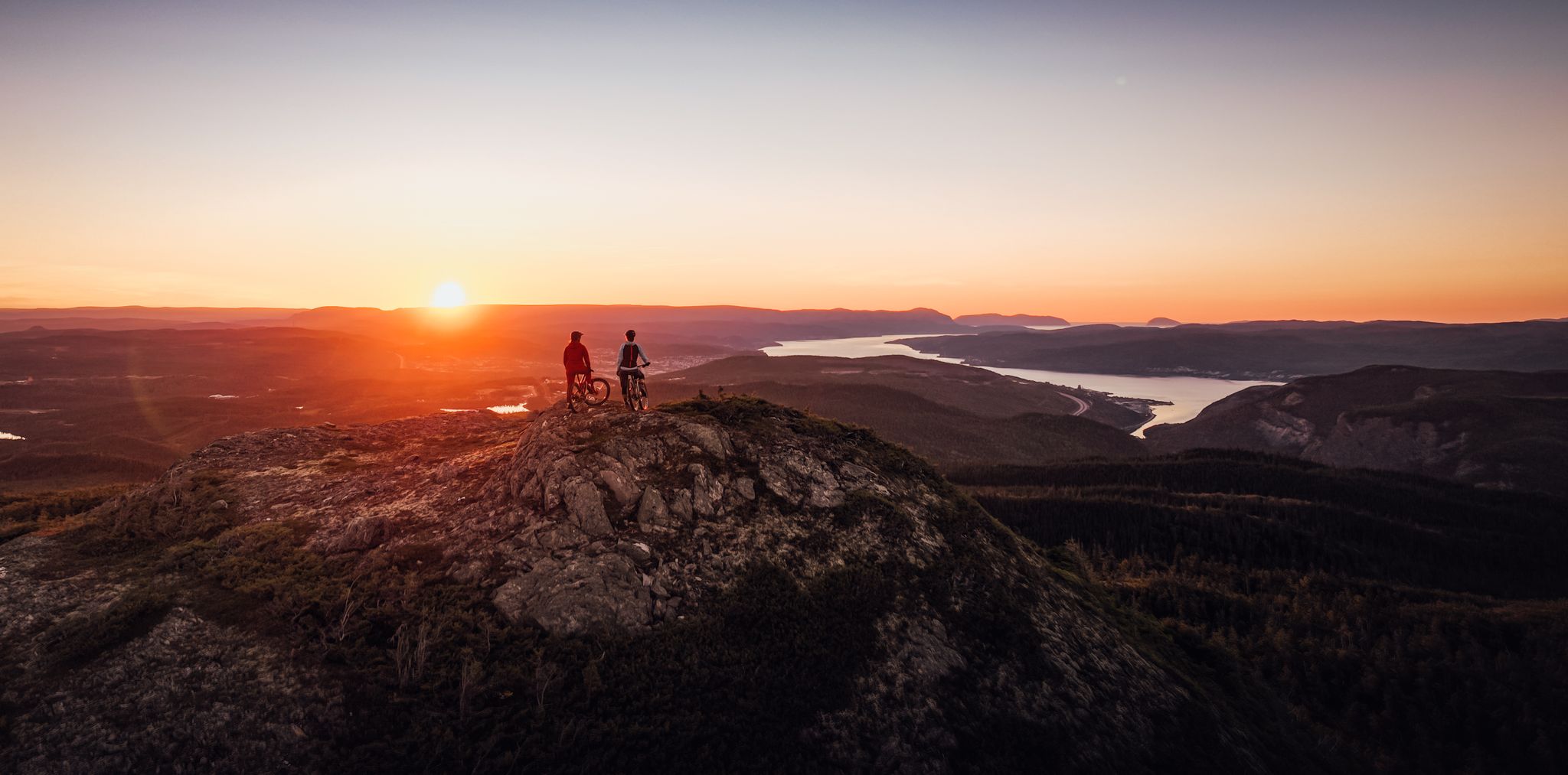
Located at the end of a short but steep 3.5 kilometer trail the Cape Blow Me Down summit as incredible 360° views of the Bay of Islands region. Be sure to pack layers for this hike as the winds can be whipping at the summit while conditions seem calm as the base of the trail.
0
0
Though only 3.5 kilometers from the parking area to the summit, the Cape Blow Me Down Trail isn't easy. You'll tackle 650 meters of elevation gain and battle against the winds, which only get strong the higher you climb. However, all of your effort will be worth its as you'll have a amazing views along way and a 360° panorama at the summit.
0
0
This lower viewpoint on the Cape Blow Me Down trail is a great option for a quick out and back hike if you're short on time or don't want to do the full trail. Though it's less than 1 kilometer from the parking area you'll still have a great vantage point to take in the stunning views.
0
0

There is a small dirt parking area on Midland Row, where the street ends, that is the trailhead for South Brook Trail. The trial is open to both mountain bikers and hikers. Some folks looking for a more downhill experience will park one at the other end, on North Harbor Road, and leave a car at Midland Row, descending almost the entire way.
0
0
South Brook begins at an unnamed lake closer to Grand Lake and flows about 10 kilometers into Deer Lake. The river is a darker color due to tannins in the water. South Brook Trail follows the river but passes over via a bridge here.
0
0
South Brook Trail heads south right from the town of Pasadena. There are all sorts of little surprises along this trail, like a tire swing, an outhouse, and locally handcrafted signage. As the name suggests, the trail follows South Brook.
0
0
Frequently Asked Questions
How many hiking trails are available in the Long Range Mountains?
There are over 25 hiking routes in the Long Range Mountains, offering a diverse range of experiences from easy strolls to challenging multi-day treks. The komoot community has explored these trails over 1300 times.
What unique geological features can I expect to see while hiking in the Long Range Mountains?
The Long Range Mountains are renowned for their ancient geological wonders. You can experience the unique Tablelands Trail, where the Earth's mantle is exposed, offering a rare opportunity to walk on what was once beneath the ocean floor. The region also features dramatic glacial fjords and rugged topography.
Are there any trails that lead to waterfalls in the Long Range Mountains?
Yes, the Bakers Brook Falls loop from Berry Hill is a popular moderate path that leads through forested areas to a scenic waterfall. You can also find the Bakers Brook Falls listed as a natural monument.
What is the best time of year to hike in the Long Range Mountains?
The Long Range Mountains offer an exceptional outdoor experience, particularly from late spring through early autumn. Summer provides the most stable weather for exploring the diverse ecosystems, from coastal fjords to alpine plateaus. However, conditions can change rapidly, especially at higher elevations.
Are there any family-friendly hiking options in the Long Range Mountains?
While many trails offer challenging wilderness experiences, there are easier options suitable for families. The Tablelands Trail is an easy path that offers a unique geological experience. For a slightly longer but still accessible option, consider the South Brook Trail.
Are dogs allowed on the hiking trails in the Long Range Mountains?
Policies regarding dogs can vary, especially within Gros Morne National Park. It's always best to check specific park regulations or trail guidelines before heading out with your dog to ensure a pleasant and compliant experience for everyone.
What are some challenging multi-day hiking routes in the Long Range Mountains?
For experienced and well-prepared hikers, the Long Range Mountains offer some of the most scenic and challenging backcountry terrain. The Long Range Traverse, a multi-day backpacking adventure, explores deep into the Gros Morne wilderness. A challenging day hike is the Gros Morne ponds – Gros Morne Mountain Trail loop from Deer Brook, which leads through demanding mountain terrain.
Are there any circular hiking routes in the Long Range Mountains?
Yes, several trails offer a loop experience. Besides the Bakers Brook Falls loop from Berry Hill, you can also explore the Lookout High Above Bonne Bay loop from Woody Point, which provides stunning views.
What kind of wildlife might I encounter on the trails?
The diverse ecosystems of the Long Range Mountains support a rich array of wildlife. Hikers might spot woodland caribou, moose, black bears, rock ptarmigan, and Arctic hare, particularly in less frequented areas and at higher elevations.
What do other hikers enjoy the most about hiking in the Long Range Mountains?
The area is highly rated by the komoot community, with an average score of 4.6 stars from over 140 reviews. Reviewers often praise the dramatic landscapes, unique geological features, and the challenging wilderness experiences offered by the trails.
Are there any coastal hikes with ocean views?
Yes, the region features steep coastal cliffs and fjords. The Green Gardens Trail is a moderate route that leads to the Green Gardens Cliffs and Beach, offering stunning coastal scenery and ocean views.
What should I pack for a day hike in the Long Range Mountains?
Given the rugged terrain and potential for rapidly changing weather, it's advisable to pack layers of clothing, waterproof gear, sturdy hiking boots, plenty of water, snacks, a map, compass or GPS, and a first-aid kit. For more challenging routes, wilderness navigation skills are essential.
Are there any historical sites or viewpoints near the hiking trails?
Yes, in addition to the natural beauty, you can find points of interest like the Captain James Cook Historic Site & View of Corner Brook, which offers historical context and panoramic views. Many trails also lead to spectacular viewpoints overlooking fjords and mountains.
Most popular attractions in the Long Range Mountains

Get inspired with the komoot mobile app


Explore more
Browse the best Hikes in other regions.
