Easy hikes and walks in the Long Range Mountains
4.6
(200)
1,890
hikers
28
hikes
Easy hiking trails in the Long Range Mountains traverse a landscape shaped by ancient geological processes, forming the northern end of the Appalachian mountain range. The region features glacier-carved fjords that rise from the coastal plain, offering views of towering walls and deep blue waters. Hikers encounter lush boreal forests in lower elevations, transitioning to arctic-alpine plateaus at higher altitudes, characterized by bogs, ponds, and streams. This terrain provides diverse environments for outdoor exploration.
Best easy hiking trails in the…
Last updated: October 17, 2026
4.6
(44)
364
hikers
4.08km
01:07
70m
70m
Easy hike. Great for any fitness level. Easily-accessible paths. Suitable for all skill levels.
4.7
(3)
22
hikers
5.46km
01:26
40m
40m
Easy hike. Great for any fitness level. Easily-accessible paths. Suitable for all skill levels.

5.0
(1)
18
hikers
2.45km
00:40
40m
40m
Easy hike. Great for any fitness level. Easily-accessible paths. Suitable for all skill levels.
7.39km
01:56
60m
60m
Easy hike. Great for any fitness level. Easily-accessible paths. Suitable for all skill levels.
5.0
(4)
22
hikers
5.26km
01:40
220m
220m
Easy hike. Great for any fitness level. Easily-accessible paths. Suitable for all skill levels.
5.0
(1)
10
hikers
2.72km
00:44
30m
30m
Easy hike. Great for any fitness level. Easily-accessible paths. Suitable for all skill levels.
13
hikers
6.02km
01:44
150m
160m
Easy hike. Great for any fitness level. Easily-accessible paths. Suitable for all skill levels.
6
hikers
4.35km
01:08
30m
30m
Easy hike. Great for any fitness level. Easily-accessible paths. Suitable for all skill levels.
5.0
(1)
5
hikers
4.56km
01:18
100m
100m
Easy hike. Great for any fitness level. Easily-accessible paths. Suitable for all skill levels.
2
hikers
5.22km
01:27
100m
90m
Easy hike. Great for any fitness level. Easily-accessible paths. Suitable for all skill levels.
Get access to more routes and recommendations from other explorers.
Already have an account?
Our route recommendations are based on thousands of hikes, rides, and runs completed by other people on komoot.
Start today with a free account
Your next adventure awaits.
Popular around Long Range Mountains



Tips from the Community

On foot ok! Definitely not with a mountain bike!
0
0

This spot at the trail’s end overlooks the beautiful turquoise waters of the Gulf of St. Lawrence and the coastline stretching below. It’s the perfect place to pause, soak in the coastal scenery, and appreciate the geological landscapes that make The Gravels so distinctive.
0
0
The Gravels, also known as Danny’s Trail in honour of a local resident, is an easy, well-maintained path suitable for most skill levels. It’s a beautiful route that winds through stunted boreal forest and along an ancient limestone coastline shaped over millions of years, with benches, picnic tables, and beach access that invites you to spend a few hours here exploring. There are sea stacks, eroded rock formations, hidden coves, and fossils embedded in the shoreline that make this one of the most fascinating places to visit on the Port au Port Peninsula.
0
0

From here you'll have a great view over the bay where the Trout River empties into the sea. It can be windy so bring a coat, and if you're able to time your hike for sunset you'll be treated something truly special.
0
0
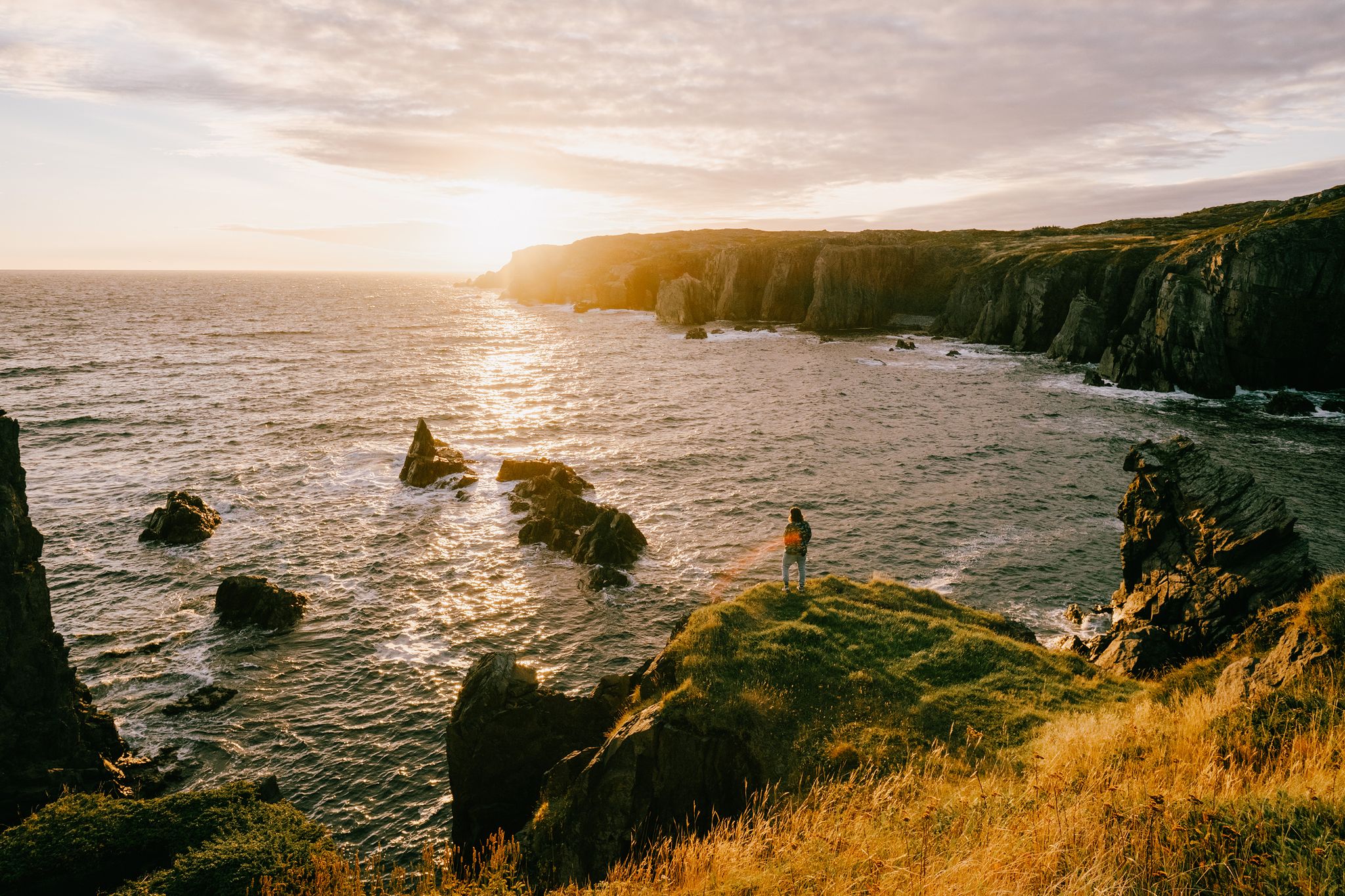
Though only a short trail outside of Trout River you may get the feeling that you're walking to the end of the world. The trail is just over one kilometer long but you'll traverse dramatic sea cliffs with endless views across the water. If you can time your visit with sunset you'll have a a hike to remember!
0
0

There is a small dirt parking area on Midland Row, where the street ends, that is the trailhead for South Brook Trail. The trial is open to both mountain bikers and hikers. Some folks looking for a more downhill experience will park one at the other end, on North Harbor Road, and leave a car at Midland Row, descending almost the entire way.
0
0
South Brook begins at an unnamed lake closer to Grand Lake and flows about 10 kilometers into Deer Lake. The river is a darker color due to tannins in the water. South Brook Trail follows the river but passes over via a bridge here.
0
0
Frequently Asked Questions
How many easy hiking trails are available in the Long Range Mountains?
The Long Range Mountains offer 11 easy hiking trails, providing a variety of options for exploring the region's unique landscapes. These routes are generally well-regarded by the komoot community, with an average rating of 4.6 stars.
What kind of terrain will I encounter on easy hikes in the Long Range Mountains?
Easy hikes in the Long Range Mountains often traverse diverse terrain. You can expect to find lush boreal forests in lower elevations, transitioning to areas with bogs, ponds, and streams. Some trails, like the Tablelands Trail, offer a unique opportunity to walk on exposed mantle rock, a rare geological feature.
Are there any easy circular hiking routes in the Long Range Mountains?
Yes, several easy circular routes are available. For example, the Outdoor Toilet – Paynes Cove loop from Norris Point is a 3.3-mile trail through coastal and forested sections. Other loop options include the Corner Brook Stream Trail loop from Corner Brook and the Pipeline Trail / Gorge Lookout – Ginger Trail loop from Sopers.
What natural features or landmarks can I see on easy hikes in the Long Range Mountains?
Many easy trails offer access to the region's natural beauty. You can visit Bakers Brook Falls, a beautiful waterfall. The Tablelands Trail itself is a significant geological landmark. For historical interest, consider the Captain James Cook Historic Site & View of Corner Brook.
Are easy hiking trails in the Long Range Mountains suitable for families?
Yes, many easy trails are suitable for families. Routes like the South Brook Trail, which follows a brook through forested areas with gentle elevation changes, are great for all ages. The Tablelands Trail is also a popular choice for its unique landscape and manageable distance.
What is the best time of year for easy hikes in the Long Range Mountains?
The warmer months, typically late spring through early autumn, are ideal for easy hikes. During this period, the arctic-alpine plateau areas can feature vibrant wildflowers, and the weather is generally more favorable for exploring the boreal forests and coastal sections. Always check local weather conditions before heading out.
Is parking available at the trailheads for easy hikes?
While specific parking details vary by trailhead, many popular easy hiking trails in the Long Range Mountains, especially those within Gros Morne National Park or near towns like Corner Brook, typically have designated parking areas. It's advisable to check specific route information for parking availability before your visit.
Can I spot wildlife on easy hiking trails in the Long Range Mountains?
The Long Range Mountains are home to diverse wildlife. On easy trails, particularly those passing through boreal forests or near bogs, you might have opportunities to spot animals such as moose, arctic hare, and various bird species. Caribou and black bears also inhabit the region, though sightings are less common on well-trafficked easy paths.
What should I wear for easy hiking in the Long Range Mountains during summer?
Even on easy trails in summer, it's wise to dress in layers. Opt for moisture-wicking clothing, sturdy hiking shoes, and bring a rain jacket as weather can change quickly. Sun protection, including a hat and sunscreen, is also recommended, especially in more open areas like the Tablelands.
Are there any easy trails that follow a brook or river?
Yes, the South Brook Trail is an excellent option, following a brook through forested areas. Similarly, the Corner Brook Stream Trail offers pleasant walks alongside water features.
What do other hikers enjoy most about easy trails in the Long Range Mountains?
The area is highly rated by the komoot community, with an average score of 4.6 stars from over 140 reviews. Hikers often praise the unique geological formations, the peaceful forest walks, and the accessibility of these trails, making them perfect for a relaxing outdoor experience.
Are permits required for easy hikes in the Long Range Mountains?
For trails within Gros Morne National Park, such as the Tablelands Trail, park entry fees may apply. However, specific permits for easy day hikes are generally not required, unlike the more challenging backcountry routes. Always check the official park website for the most current information on fees and regulations.
Most popular attractions in the Long Range Mountains

Get inspired with the komoot mobile app


Explore more
Browse the best Hikes in other regions.
