The best hikes from bus stations around Gersfeld
4.6
(13817)
46,625
hikers
105
hikes
Bus station hiking trails around Gersfeld (Rhön) are set within the Rhön Biosphere Reserve, an area characterized by its volcanic origins, resulting in distinctive dome-shaped mountains and expansive plateaus. The landscape features prominent natural landmarks such as the Wasserkuppe, the highest mountain in Hesse, and the Rotes Moor, a significant raised bog. Hikers can explore a diverse terrain that includes dense forests, open moorland, and wild gorges like the Kaskadenschlucht, with trails often leading to scenic viewpoints and picturesque lakes.
…Last updated: August 20, 2026
4.8
(424)
1,605
hikers
8.10km
02:32
300m
300m
Moderate hike. Good fitness required. Mostly accessible paths. Sure-footedness required.
4.7
(78)
264
hikers
11.7km
03:24
310m
310m
Moderate hike. Good fitness required. Easily-accessible paths. Suitable for all skill levels.

Sign up for free
4.9
(50)
176
hikers
Moderate hike. Good fitness required. Easily-accessible paths. Suitable for all skill levels.
4.5
(79)
276
hikers
13.0km
03:43
300m
300m
Moderate hike. Good fitness required. Easily-accessible paths. Suitable for all skill levels.
4.8
(474)
1,323
hikers
8.91km
02:38
250m
250m
Moderate hike. Good fitness required. Easily-accessible paths. Suitable for all skill levels.
Get access to more routes and recommendations from other explorers.
Sign up for free
Already have an account?
Our route recommendations are based on thousands of hikes, rides, and runs completed by other people on komoot.
Start today with a free account
Your next adventure awaits.
Login or Signup
Popular around Gersfeld (Rhön)

Stages of the HOCHRHÖNER Premium Hiking Trail
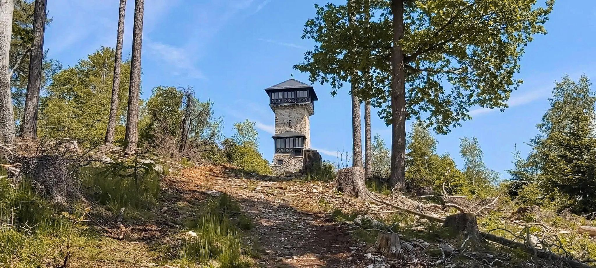
Autumn views: to the most beautiful vantage points in the RMV area

The National Natural Landscapes in Hessen

Extra tours South - Excellent premium hiking trails of the Rhön

Discover Rhön - Half-day tours through the biosphere reserve

Hike Germany’s Rhön Mountains on the Hochrhöner Trail

Lowest to Highest (L2H) in Germany
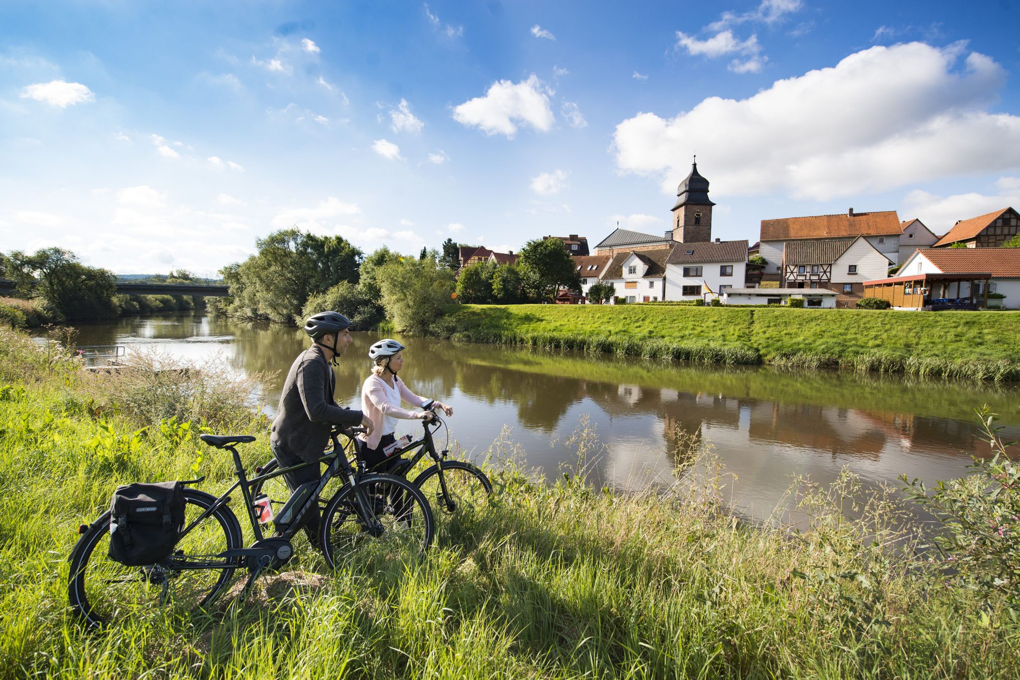
The Fulda cycle path R1 — in 5 stages from the Rhön to the Weser
Other adventures around Gersfeld


Tips from the Community


Steep ascent that is worth it! Nice view!
0
0

Simply wonderful; being able to enjoy the flora and fauna here is a unique experience
3
0

Slightly slippery
0
0
Water available in October 2025
0
0
Robust but slippery
0
0

At 894 meters, the Hohe Hölle is the seventh-highest mountain in the Rhön Mountains and lies between the towns of Gersfeld-Mosbach and Bischofsheim in the Rhön. The Hohe Hölle is a subsidiary of the Himmeldunk. The state border between Hesse and Bavaria, as well as the natural Rhine-Weser watershed, runs across its ridge. At the Hohe Hölle, there is a very beautiful hiking hut, the Würzburger Bergbundhütte, which is run by the Alpine Club Würzburg Section. As it is a club hut, the Würzburger Bergbundhütte is generally only open on weekends. It is best to check the hut's website in advance. (Info Rhöntourist)
0
0
Frequently Asked Questions
How many bus station hiking trails are available in Gersfeld (Rhön)?
There are over 90 hiking trails in Gersfeld (Rhön) that are easily accessible from bus stations, offering a wide range of experiences for all skill levels.
What is the best time of year to go hiking from bus stations in Gersfeld (Rhön)?
The Rhön region is beautiful year-round. Spring offers lush greenery and blooming meadows, while summer provides warm weather for exploring. Autumn is particularly scenic with vibrant fall foliage. Even in winter, many trails are suitable for snowshoeing or winter walks, especially around the Wasserkuppe.
What do other hikers say about the bus station trails in Gersfeld (Rhön)?
The bus station accessible trails in Gersfeld (Rhön) are highly rated by the komoot community, with an average score of 4.6 stars from over 12,000 ratings. Hikers frequently praise the diverse landscapes, well-maintained paths, and the stunning panoramic views, particularly from higher elevations like the Wasserkuppe.
Are there easy hiking trails accessible from bus stops in Gersfeld (Rhön)?
Yes, Gersfeld (Rhön) offers many easy hiking trails accessible from bus stops. Approximately 37 routes are classified as easy, perfect for a relaxed stroll. An example is the Poppenhausen dangling bench – View of the Wachtküppel loop from Maiersbach, which is just over 5 km long with minimal elevation gain.
What kind of terrain can I expect on bus station hikes around Gersfeld (Rhön)?
The terrain around Gersfeld (Rhön) is varied, reflecting its volcanic origins and position within the Rhön Biosphere Reserve. You can expect a mix of forest paths, open meadows, some paved sections, and occasionally rocky or muddy trails, especially in areas like the Kaskadenschlucht. Boardwalks are also present in unique ecosystems like the Rotes Moor.
Are there family-friendly hiking options from Gersfeld bus stations?
Absolutely. Many trails are suitable for families, offering manageable distances and interesting sights. The region's diverse landscapes, including the Guckaisee and the Boardwalk Trail Through the Rotes Moor, provide engaging experiences for children. Consider routes that incorporate attractions like the Wildpark Gersfeld for added fun.
Can I bring my dog on these bus station hiking trails?
Most hiking trails in the Gersfeld (Rhön) area are dog-friendly, provided your dog is kept on a leash, especially in nature reserves or near livestock. Always be mindful of local regulations and ensure your dog is well-behaved around other hikers and wildlife. Remember to carry water for your pet.
Are there any circular routes starting from bus stations?
Yes, many of the bus station accessible trails are circular routes, allowing you to start and end at the same point without needing to retrace your steps. An example is the moderate Rockenstein Summit with Cross – Himmeldunkberg summit loop from Kernzone des NSG Höllwald bei Rodenbach, offering a rewarding loop experience.
What natural landmarks or viewpoints can I discover on these bus station hikes?
The Rhön is rich in natural landmarks and viewpoints. You can hike to the Milseburg Summit and Crucifixion Group for expansive views, explore the unique ecosystem of the Rotes Moor via its boardwalk, or enjoy the picturesque Guckaisee. The Wasserkuppe, Hesse's highest mountain, also offers magnificent panoramic vistas.
Are there any routes that feature water, like lakes or gorges?
Yes, several routes incorporate water features. The Guckaisee is a popular destination, and you can find routes like the Guckaisee – View of Wachtküppel loop from Maiersbach that pass by it. The wild and romantic Kaskadenschlucht – Cascade Gorge loop from Sandberg offers a varied experience through a gorge with small waterfalls.
Where can I find refreshments or places to eat near the bus station trails?
Gersfeld and its surrounding villages offer various guesthouses, restaurants, and cafes where you can enjoy local Rhön cuisine or simply grab a drink. Many trails pass through or near these villages, and some popular hiking spots, like the Wasserkuppe, also have facilities for refreshments. It's always a good idea to check opening times, especially outside peak season.
What are some longer, more challenging bus station hikes in the area?
For those seeking a challenge, Gersfeld (Rhön) offers several moderate to difficult routes. While the guide focuses on bus station access, many trails connect to longer routes like sections of the Hochrhöner Trail. Look for routes with higher elevation gains or longer distances, such as the Cascade Gorge – View of the Wasserkuppe loop from Obernhausen, which is over 11 km long with significant ascents.
Most popular routes around Gersfeld
Most popular attractions around Gersfeld

Get inspired with the komoot mobile app


Explore more
Browse the best Hikes in other regions.
