The best waterfall hikes and walks around Gersfeld
4.6
(13395)
47,002
hikers
7
hikes
Waterfall hiking trails around Gersfeld (Rhön) are set within the Rhön Biosphere Reserve, a region characterized by diverse landscapes, wide views, and serene forests. The area features significant natural landmarks such as the Wasserkuppe, Hesse's highest mountain, and the Rotes Moor, a unique raised bog. Hikers can expect a mix of well-maintained paths, forest and meadow trails, and some rocky sections, with terrain ranging from gentle inclines to steeper ascents.
Best waterfall hiking trails around Gersfeld
- The most popular waterfall…
Last updated: June 25, 2026
4.8
(32)
117
hikers
16.6km
04:44
390m
390m
Moderate hike. Good fitness required. Easily-accessible paths. Suitable for all skill levels.
4.7
(26)
75
hikers
15.6km
04:43
520m
520m
Moderate hike. Good fitness required. Easily-accessible paths. Suitable for all skill levels.

Sign up for free
5.0
(5)
22
hikers
Hard hike. Very good fitness required. Easily-accessible paths. Suitable for all skill levels.
4.4
(5)
26
hikers
Moderate hike. Good fitness required. Easily-accessible paths. Suitable for all skill levels.
5.0
(2)
6
hikers
Hard hike. Very good fitness required. Easily-accessible paths. Suitable for all skill levels.
Get access to more routes and recommendations from other explorers.
Sign up for free
Already have an account?
Our route recommendations are based on thousands of hikes, rides, and runs completed by other people on komoot.
Start today with a free account
Your next adventure awaits.
Login or Signup
Popular around Gersfeld (Rhön)

Stages of the HOCHRHÖNER Premium Hiking Trail
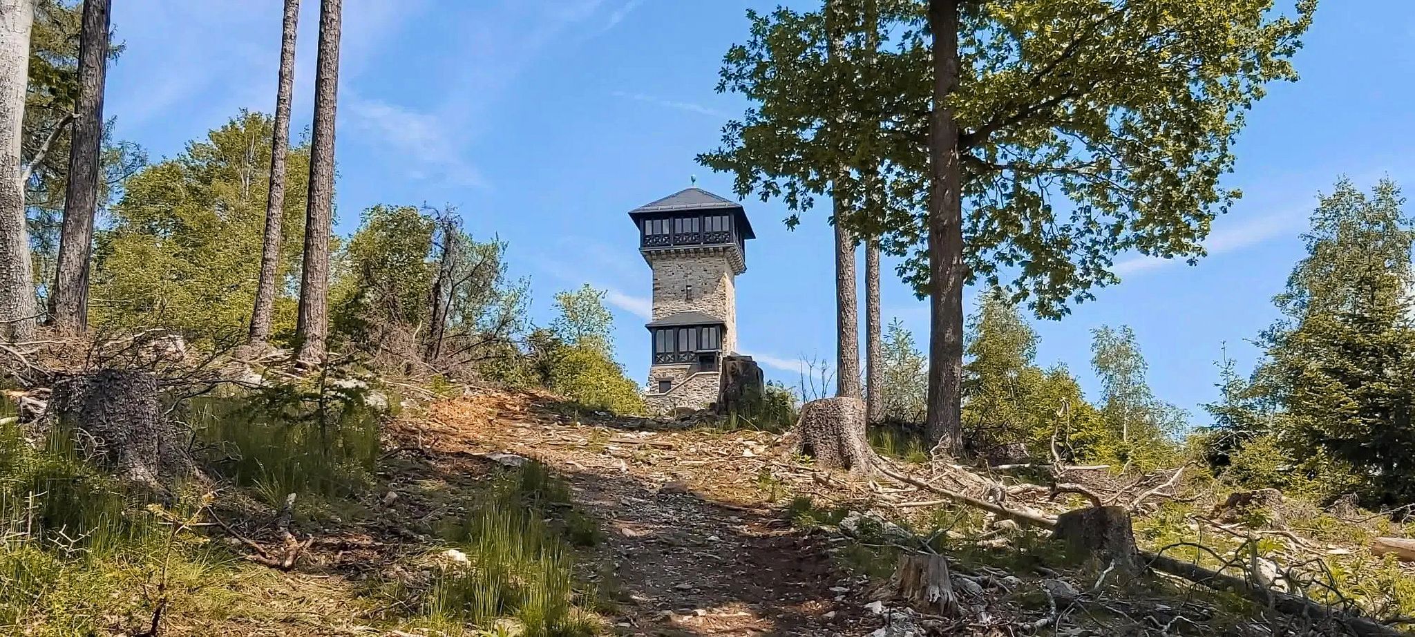
Autumn views: to the most beautiful vantage points in the RMV area

The National Natural Landscapes in Hessen

Extra tours South - Excellent premium hiking trails of the Rhön

Discover Rhön - Half-day tours through the biosphere reserve

Hike Germany’s Rhön Mountains on the Hochrhöner Trail

Lowest to Highest (L2H) in Germany
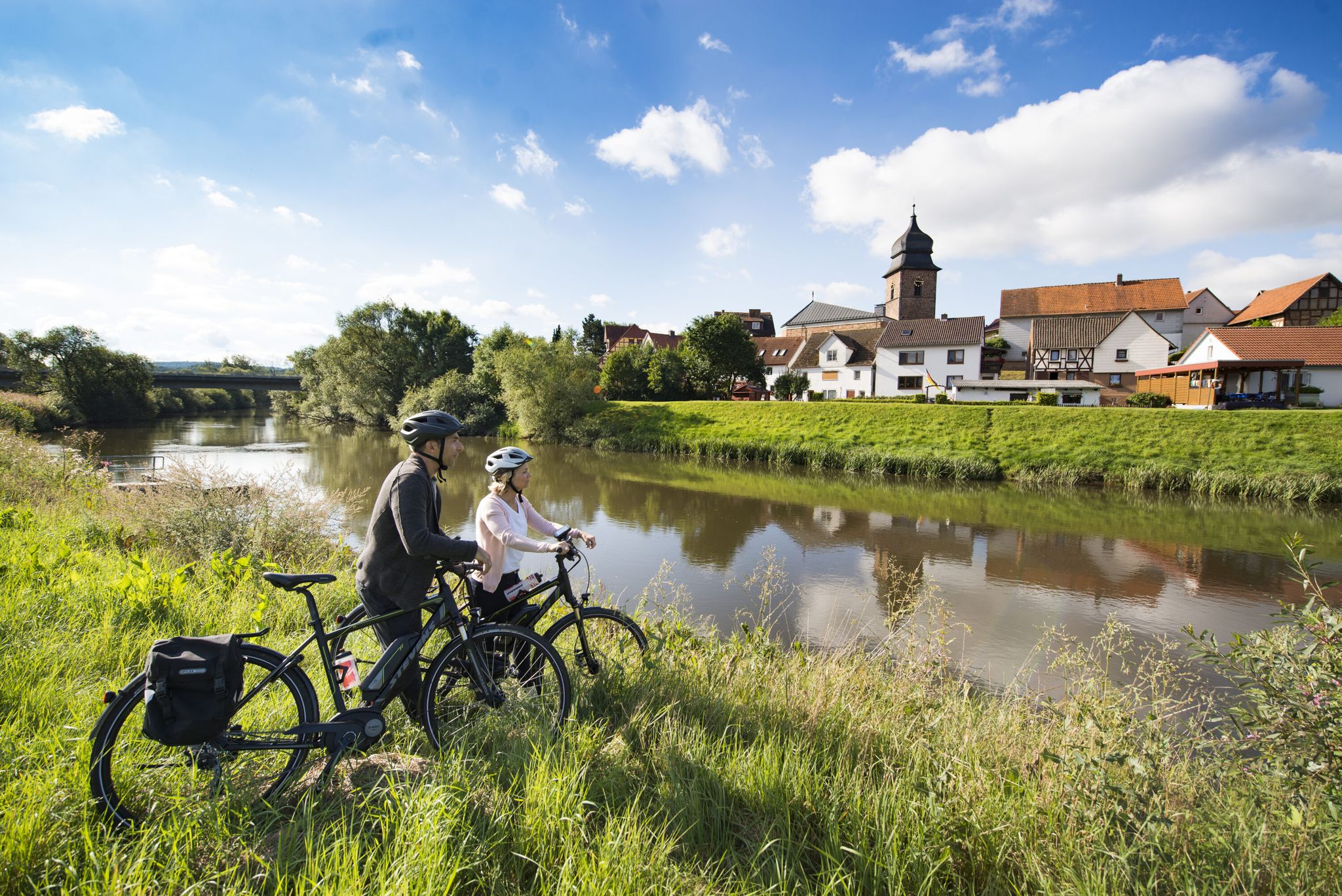
The Fulda cycle path R1 — in 5 stages from the Rhön to the Weser
Other adventures around Gersfeld


Tips from the Community

View halfway to the Osterburg on the beautiful town of Bischofsheim.
1
0

Great view from the Osterburg
0
0

Very nice view after the climb
0
0
Slightly slippery
0
0
Water available in October 2025
0
0

beautiful 😉👍
0
0

At 894 meters, the Hohe Hölle is the seventh-highest mountain in the Rhön Mountains and lies between the towns of Gersfeld-Mosbach and Bischofsheim in the Rhön. The Hohe Hölle is a subsidiary of the Himmeldunk. The state border between Hesse and Bavaria, as well as the natural Rhine-Weser watershed, runs across its ridge. At the Hohe Hölle, there is a very beautiful hiking hut, the Würzburger Bergbundhütte, which is run by the Alpine Club Würzburg Section. As it is a club hut, the Würzburger Bergbundhütte is generally only open on weekends. It is best to check the hut's website in advance. (Info Rhöntourist)
0
0
Another special feature that can be discovered on a hike over the Hohe Hölle and Himmeldunkberg are old boundary stones that once marked the border between the Kingdom of Bavaria and the Kingdom of Prussia. More of these boundary stones can also be found when hiking from the Schwedenwall parking lot toward Rhönhäuschen and Heidelstein. (Rhöntourist info)
0
0
Frequently Asked Questions
How many waterfall hiking trails are there around Gersfeld (Rhön)?
There are several dedicated waterfall hiking trails around Gersfeld (Rhön), with komoot featuring 7 routes specifically focused on waterfalls. These range in difficulty from moderate to difficult, offering diverse experiences for hikers.
What are the main waterfalls I can expect to see on these trails?
The region is home to several beautiful waterfalls. The Devil's Mill Waterfall (Teufelsmühle Waterfall) is a prominent feature on many routes, including the popular Osterburg castle ruins – Devil's Mill Waterfall loop and the Holzberghof Hunting Lodge – Teufelsmühle Waterfall loop. You can also explore the scenic Cascade Gorge and the Eisgraben Waterfall.
Are there any easy waterfall hikes suitable for beginners or families?
While many waterfall trails in Gersfeld (Rhön) are moderate to difficult, the region offers a variety of terrain. For a moderate option that visits the Teufelsmühle Waterfall, consider the Holzberghof Hunting Lodge – Teufelsmühle Waterfall (Devil’s Mill) loop, which is about 10.3 km long. For easier, shorter walks, look for paths around the Cascade Gorge, though some sections can be wet and muddy.
What is the best time of year to hike to the waterfalls in Gersfeld (Rhön)?
The best time to experience the waterfalls is typically during spring after snowmelt or following periods of heavy rain, when the water flow is at its strongest. Summer offers pleasant hiking weather, while autumn provides beautiful foliage. Winter hikes can be magical, but trails may be icy or muddy, requiring appropriate gear.
What kind of terrain can I expect on waterfall hikes in this region?
Waterfall hikes in Gersfeld (Rhön) feature a mix of well-maintained paths, forest and meadow trails, and some rocky sections. The terrain ranges from gentle inclines to steeper ascents, especially on routes leading to more secluded waterfalls. Paths through gorges, like the Kaskadenschlucht, can be wet and muddy, adding to the natural experience.
Are there any circular routes that include waterfalls?
Yes, many of the waterfall trails are designed as circular routes. For example, the Osterburg castle ruins – Devil's Mill Waterfall loop and the Holzberghof Hunting Lodge – Teufelsmühle Waterfall (Devil’s Mill) loop are both excellent circular options that allow you to start and end at the same point while enjoying the waterfalls.
What other natural attractions can I explore near the waterfall trails?
Beyond the waterfalls, the Rhön Biosphere Reserve offers diverse natural beauty. You can visit the Guckaisee, a crater-like lake with recreational facilities, or explore the unique ecosystem of the Moor lake in the Red Moor. The Schwarzes Moor Nature Trail also provides an accessible way to experience the region's bogs.
Are the waterfall hiking trails in Gersfeld (Rhön) dog-friendly?
Generally, the hiking trails in Gersfeld (Rhön) are dog-friendly, allowing you to bring your canine companion. However, it's always advisable to keep dogs on a leash, especially in nature reserves or near wildlife. Be prepared for varied terrain, including potentially muddy or rocky sections, and ensure your dog is fit for the chosen route.
What do other hikers say about the waterfall trails in Gersfeld (Rhön)?
The hiking routes in Gersfeld (Rhön) are highly rated by the komoot community, with an average score of 4.6 stars from over 12,000 reviews. Hikers often praise the expansive vistas, dense woodlands, and the unique natural features like the bogs and, of course, the picturesque waterfalls.
Are there any particularly challenging waterfall hikes for experienced hikers?
Yes, for experienced hikers seeking a challenge, the Osterburg castle ruins – Devil's Mill Waterfall loop is a difficult 22.1 km trail with significant elevation changes, typically taking over 6 hours to complete. Another demanding option is the Hohe Hölle Shelter – Fisherman's Hut at Rothsee loop, which is 17.1 km and also rated difficult.
Where can I find parking for waterfall hikes in Gersfeld (Rhön)?
Parking is generally available at common starting points for hiking trails, often near villages or specific attractions. For routes like those starting from Höllwald bei Rodenbach, you'll typically find designated parking areas. It's recommended to check the specific route details on komoot for precise parking information for your chosen trail.
What should I wear or bring for a waterfall hike in Gersfeld (Rhön)?
Given the varied terrain and potential for wet conditions, sturdy, waterproof hiking boots are highly recommended. Dress in layers suitable for changing weather, and bring rain gear, especially during spring or autumn. A backpack with water, snacks, and a first-aid kit is also advisable. If hiking through gorges, be prepared for muddy paths.
Most popular routes around Gersfeld
Most popular attractions around Gersfeld

Get inspired with the komoot mobile app


Explore more
Browse the best Hikes in other regions.
