The best hikes from bus stations around Mülheim an der Ruhr
4.5
(6330)
27,258
hikers
486
hikes
Bus station hiking trails around Mülheim an der Ruhr offer access to a diverse landscape shaped by the Ruhr River and extensive green areas. The region features picturesque river floodplains, dense forests, and several nature reserves. Elevated points provide panoramic views over the river valley, while the terrain generally includes moderate ascents and descents. This combination creates varied hiking experiences within an urban-green setting.
Best bus station hiking trails around Mülheim an der Ruhr
- The most popular bus station hiking…
Last updated: July 10, 2026
4.6
(186)
593
hikers
Moderate hike. Good fitness required. Easily-accessible paths. Suitable for all skill levels.
4.6
(168)
535
hikers
Moderate hike. Good fitness required. Easily-accessible paths. Suitable for all skill levels.

Sign up for free
4.6
(82)
350
hikers
Moderate hike. Good fitness required. Easily-accessible paths. Suitable for all skill levels.
4.6
(92)
299
hikers
12.0km
03:12
130m
130m
Moderate hike. Good fitness required. Easily-accessible paths. Suitable for all skill levels.
4.7
(99)
344
hikers
Moderate hike. Good fitness required. Easily-accessible paths. Suitable for all skill levels.
Get access to more routes and recommendations from other explorers.
Sign up for free
Already have an account?
Our route recommendations are based on thousands of hikes, rides, and runs completed by other people on komoot.
Start today with a free account
Your next adventure awaits.
Login or Signup
Popular around Mülheim an der Ruhr
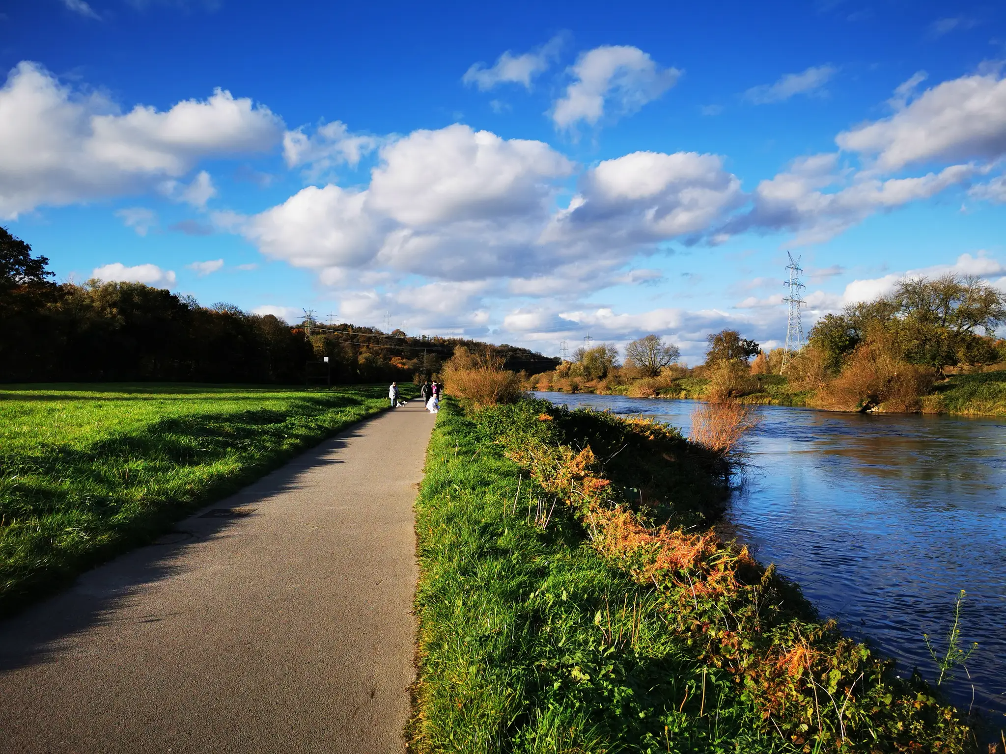
Hikes from bus stations in Saarn-Mendener Ruhraue

Hikes from bus stations around Broich-Speldorfer Forest
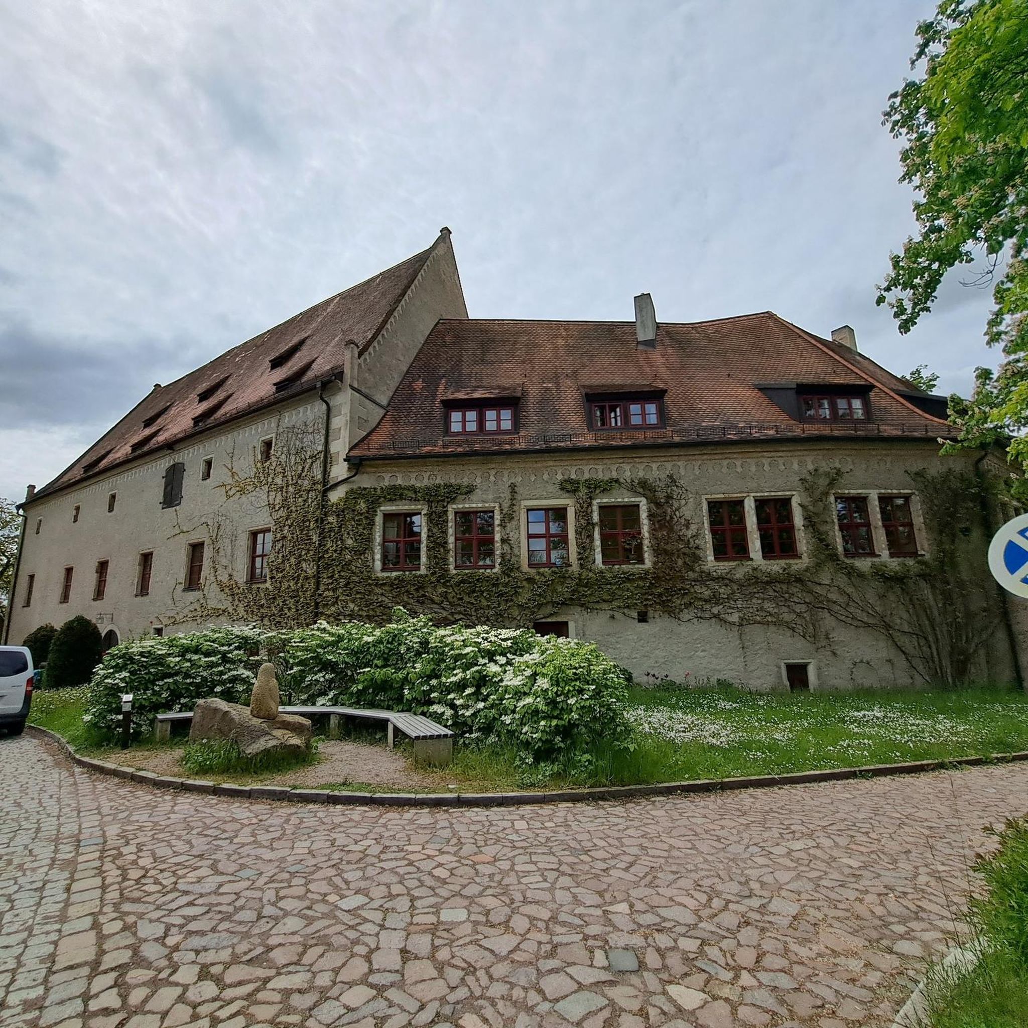
Hikes from bus stations in Oembergmoor Und Wambachtal

Hikes from bus stations around Entenfang
Ruhr Valley cycle path — 6 stages from Winterberg to the Rhine
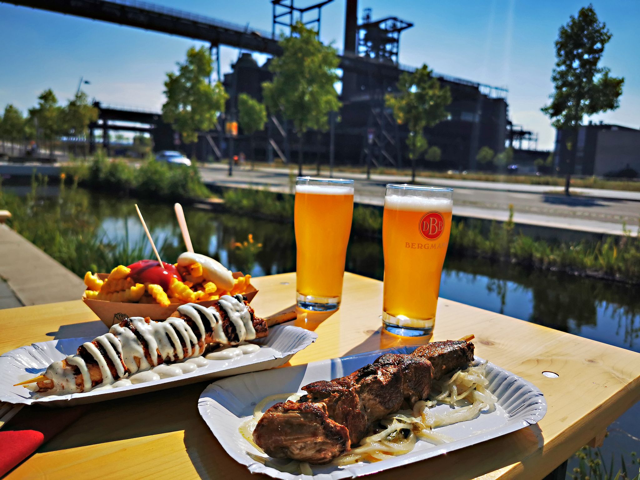
Long live the break – bike tours with beer gardens & culinary delights
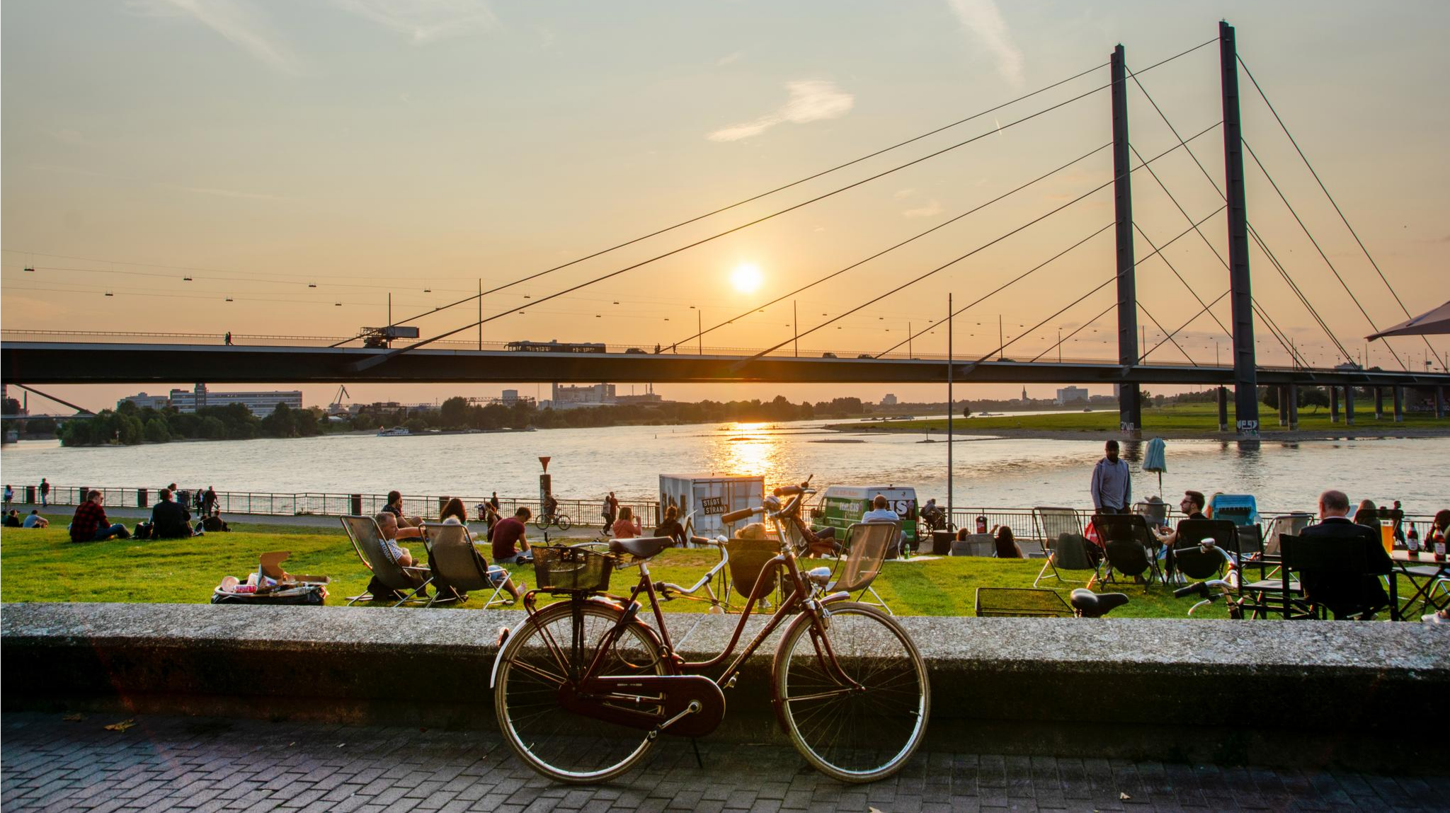
City, steel, river – cycling through North Rhine-Westphalia
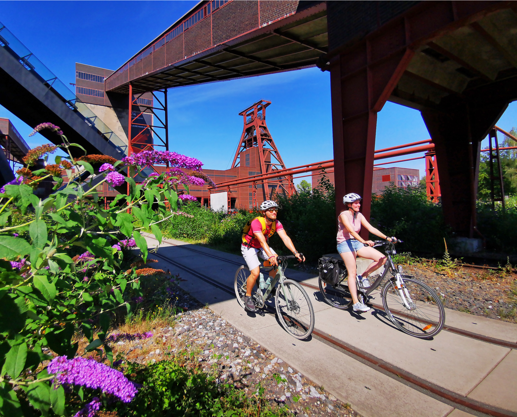
Railway cycling and industrial heritage in the Ruhr area – RevierRouten
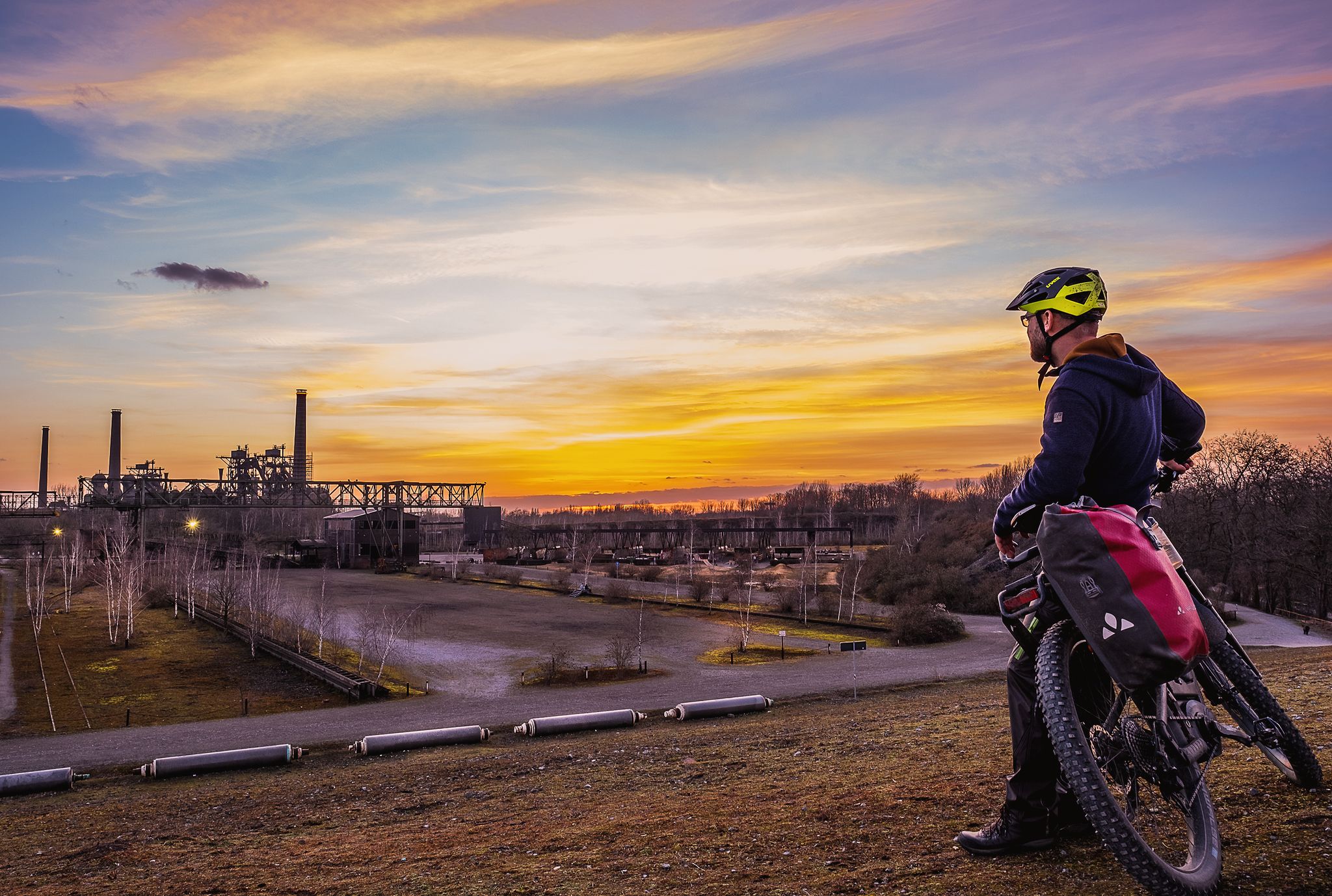
The most eventful long-distance cycle routes in the Ruhr region
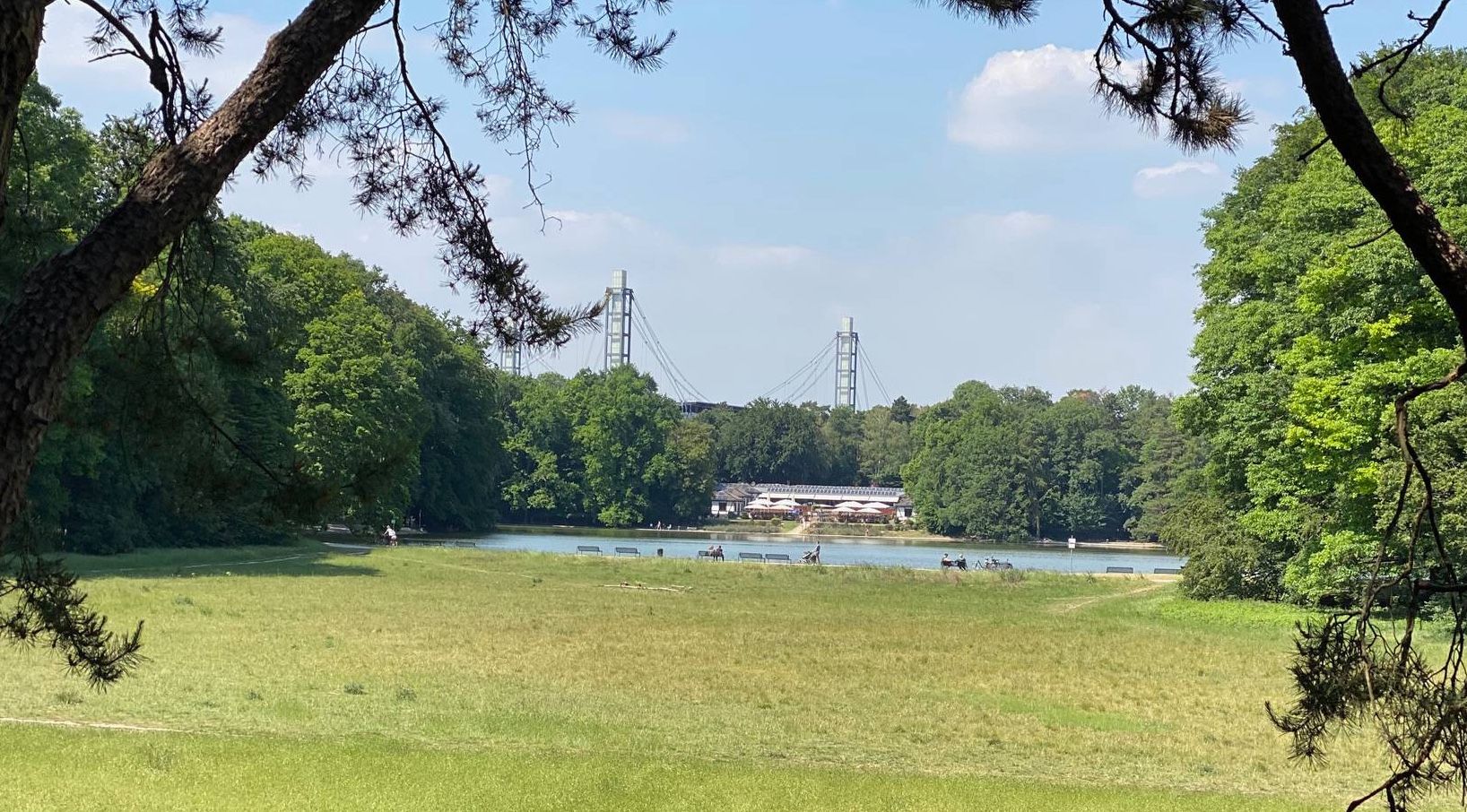
German Football Route NRW — history meets modernity
Other adventures around Mülheim an der Ruhr


Tips from the Community

A tranquil wooden bridge over the stream, offering a beautiful backdrop for walkers and cyclists. Today's mouth is located directly opposite the Mülheim City Hall. The Rumbach originates in Essen-Haarzopf, initially flows naturally through Holthausen, and is laid underground from Walkmühlenstraße. Historically, due to frequent floods, the stream was channelized in Mülheim's city center in the 19th century.
1
0

No longer maintained and is now also a little hidden.
14
0

With 143 steps, the Himmelsleiter (Heaven's Ladder) connects the Forstbach valley with the Wöllenbeck, which runs above through the fields.
0
0
Beautifully constructed staircase on the hiking trail through the Rumbach valley
0
0


The hilltop, now called the "Worship Meadow," has been a leveled assembly area since Germanic times, adjacent to the sacred spring of the Holy Well. It is the westernmost and, at approximately 81 meters, one of the highest hilltops in the area. Back then, its treeless location offered an unobstructed view of the Rhine plain and the burial mound field located there, now built over. This clear view across the thousands of burial mounds towards the setting sun must have been phenomenal and of cultic significance. It is likely that, as elsewhere, a circle of wooden posts was placed here to mark the solstices and other astronomically important dates for cultic and agricultural purposes. Unfortunately, no excavations have yet been carried out to confirm this. The site was probably in continuous use, as the Roman temple of Elfrath was oriented towards this location, and baptismal ceremonies held there are documented from early Christian times. Even today, the area is used for open-air worship services.
1
0
Frequently Asked Questions
How many bus-accessible hiking trails are available in Mülheim an der Ruhr?
There are over 450 hiking routes in Mülheim an der Ruhr that are accessible from bus stations. This includes a wide variety of trails, from easy strolls to more challenging routes.
Are there easy bus-accessible hikes suitable for beginners or casual walkers?
Yes, Mülheim an der Ruhr offers over 320 easy hiking routes that are accessible by bus. Many of these trails follow the picturesque Ruhr River or wind through the city's extensive green spaces, providing gentle terrain for all fitness levels.
Can I find family-friendly hiking routes accessible by bus?
Absolutely. Many of the easy and moderate trails are suitable for families. Look for routes that explore the river floodplains or the less strenuous sections of nature reserves like the Saarner Ruhraue, which offer pleasant walks without significant elevation changes.
Are there dog-friendly trails that can be reached by bus?
Most natural areas and trails in Mülheim an der Ruhr are dog-friendly, provided dogs are kept on a leash, especially in nature reserves. The extensive forest areas and river paths offer plenty of space for walks with your canine companion. Always check local signage for specific regulations.
What kind of landscapes can I expect on bus-accessible hikes in Mülheim an der Ruhr?
Mülheim an der Ruhr offers a diverse landscape, blending urban convenience with natural beauty. You can expect to find meandering river floodplains along the Ruhr, extensive green forests, and several protected nature reserves like the Forstbachtal and Saarner Ruhraue. Many trails also lead to elevated areas offering panoramic views.
Which bus-accessible trails offer good viewpoints?
Several routes provide excellent vistas. The Forstbachtal Nature Reserve – View of the Ruhrtal Bridge loop offers views of the impressive Ruhrtal Bridge. Other elevated areas like Mendener Höhe and Kahlenberg are also known for their scenic outlooks over the river valley.
Are there any nature reserves I can explore via bus-accessible trails?
Yes, Mülheim an der Ruhr is home to several beautiful nature reserves. The Forstbachtal Nature Reserve and the Saarner Ruhraue Nature Reserve are both featured in popular hiking routes and are accessible by public transport, offering tranquil environments and rich biodiversity.
What is the best time of year to go hiking from bus stations in Mülheim an der Ruhr?
Spring and autumn are particularly beautiful for hiking in Mülheim an der Ruhr, with pleasant temperatures and vibrant natural colors. Summer offers lush greenery, while winter can provide serene, crisp walks, especially along the river. The region's diverse landscapes make it enjoyable year-round.
Are there places to eat or drink near the bus-accessible hiking trails?
Yes, many trails pass through or near residential areas and small towns where you can find cafes, restaurants, and pubs. Areas around the city center, as well as popular starting points for trails, often have establishments where you can refuel after your hike.
What makes hiking in Mülheim an der Ruhr unique according to other hikers?
The komoot community highly rates the trails in Mülheim an der Ruhr, with an average score of 4.5 stars. Hikers often praise the unique blend of urban accessibility with expansive natural beauty, the well-maintained paths through diverse landscapes, and the peaceful atmosphere of the nature reserves and river valleys.
Are there any specific attractions or landmarks I can see on these bus-accessible routes?
Many routes offer glimpses of local landmarks. You might encounter views of the Mintarder Ruhr Valley Bridge, or pass by the Aquarius Water Tower. The region also features various lakes and ponds, such as Entenfang and the Forstbach Ponds, which add to the scenic beauty.
Can I find trails that combine urban exploration with nature, accessible by bus?
Yes, Mülheim an der Ruhr offers trails like the "Urban.Trail – Kul.Tour durch Mülheim an der Ruhr," which allows hikers to explore the city's history, modern districts, and green spaces. These routes provide a unique blend of urban life and natural tranquility, all easily reachable by bus.
Are there any long-distance hiking paths that pass through Mülheim an der Ruhr and are accessible by bus?
Mülheim an der Ruhr is part of the regional neanderland STEIG and also lies on a section of the historic Jakobsweg (St. James's Way). These longer routes offer segments that can be accessed via public transport, allowing you to experience parts of these significant trails.
Most popular routes around Mülheim an der Ruhr
Most popular attractions around Mülheim an der Ruhr

Get inspired with the komoot mobile app


Didn’t find what you were looking for?
Check out more Hikes throughout Mülheim an der Ruhr below and find the perfect route in your destination.
Explore more
Browse the best Hikes in other regions.
