Easy hikes and walks around Mülheim an der Ruhr
4.5
(6325)
27,236
hikers
707
hikes
Easy hiking trails around Mülheim an der Ruhr are characterized by a diverse landscape featuring the Ruhr River, extensive floodplains, and numerous wooded areas. The region offers a mix of easily accessible paths and routes with moderate elevation gains, providing varied terrain for outdoor exploration. Natural features like the Saarner Ruhraue Nature Reserve and the Forstbachtal Nature Reserve contribute to the scenic appeal for hikers.
Best easy hiking trails around Mülheim an der Ruhr
- The most popular easy hiking route…
Last updated: June 30, 2026
4.7
(119)
395
hikers
7.15km
01:50
30m
40m
Easy hike. Great for any fitness level. Easily-accessible paths. Suitable for all skill levels.
4.5
(107)
383
hikers
Easy hike. Great for any fitness level. Easily-accessible paths. Suitable for all skill levels.

Sign up for free
4.7
(42)
196
hikers
5.92km
01:35
60m
60m
Easy hike. Great for any fitness level. Easily-accessible paths. Suitable for all skill levels.
4.5
(37)
169
hikers
Easy hike. Great for any fitness level. Easily-accessible paths. Suitable for all skill levels.
4.7
(53)
172
hikers
Easy hike. Great for any fitness level. Easily-accessible paths. Suitable for all skill levels.
4.6
(59)
345
hikers
Easy hike. Great for any fitness level. Easily-accessible paths. Suitable for all skill levels.
4.5
(37)
133
hikers
Easy hike. Great for any fitness level. Easily-accessible paths. Suitable for all skill levels.
4.6
(26)
266
hikers
Easy hike. Great for any fitness level. Easily-accessible paths. Suitable for all skill levels.
4.7
(48)
175
hikers
Easy hike. Great for any fitness level. Easily-accessible paths. Suitable for all skill levels.
4.1
(15)
195
hikers
Easy hike. Great for any fitness level. Easily-accessible paths. Suitable for all skill levels.
Get access to more routes and recommendations from other explorers.
Sign up for free
Already have an account?
Our route recommendations are based on thousands of hikes, rides, and runs completed by other people on komoot.
Start today with a free account
Your next adventure awaits.
Login or Signup
Popular around Mülheim an der Ruhr
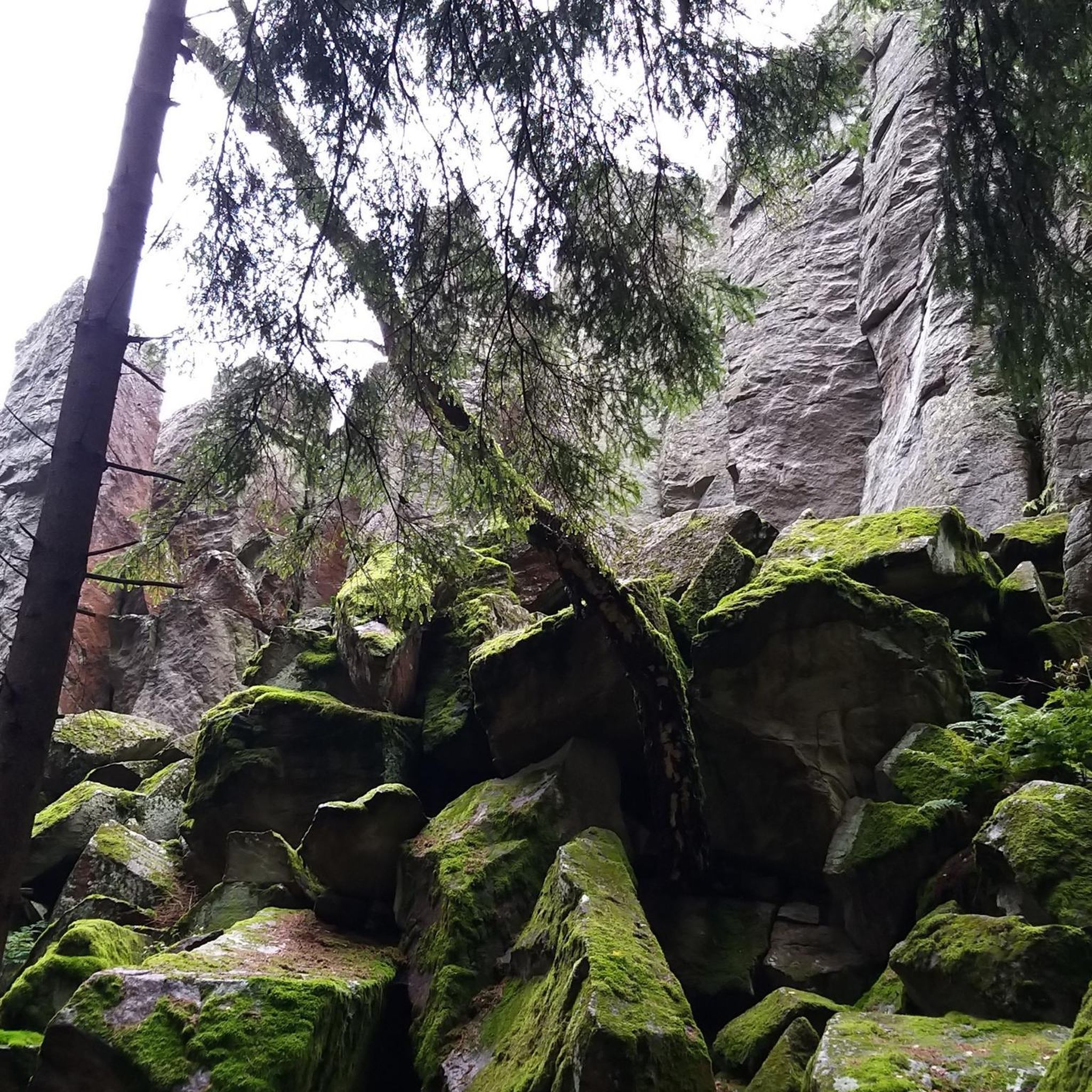
Easy hikes in Saarn-Mendener Ruhraue
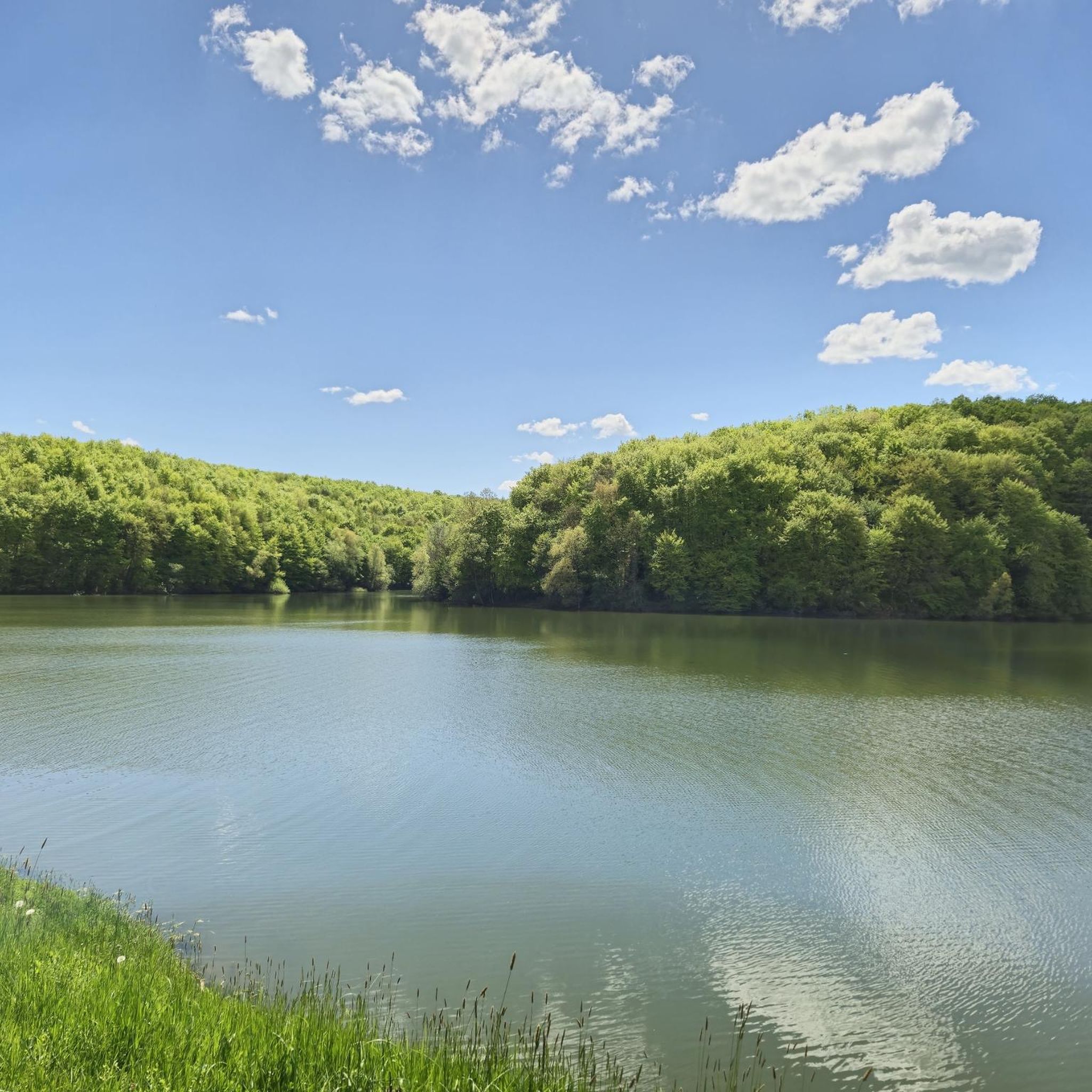
Easy hikes around Broich-Speldorfer Forest

Easy hikes in Oembergmoor Und Wambachtal
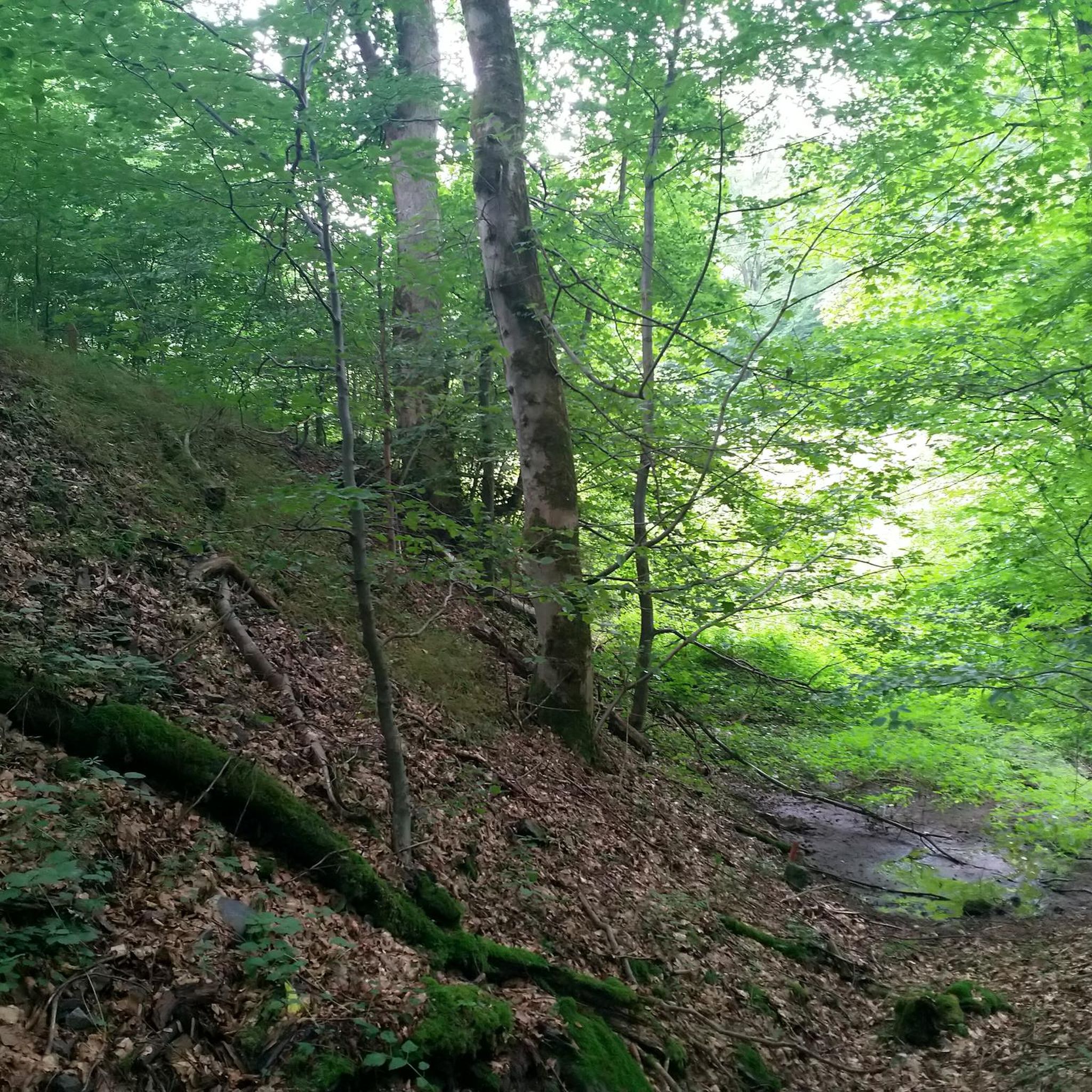
Easy hikes around Entenfang
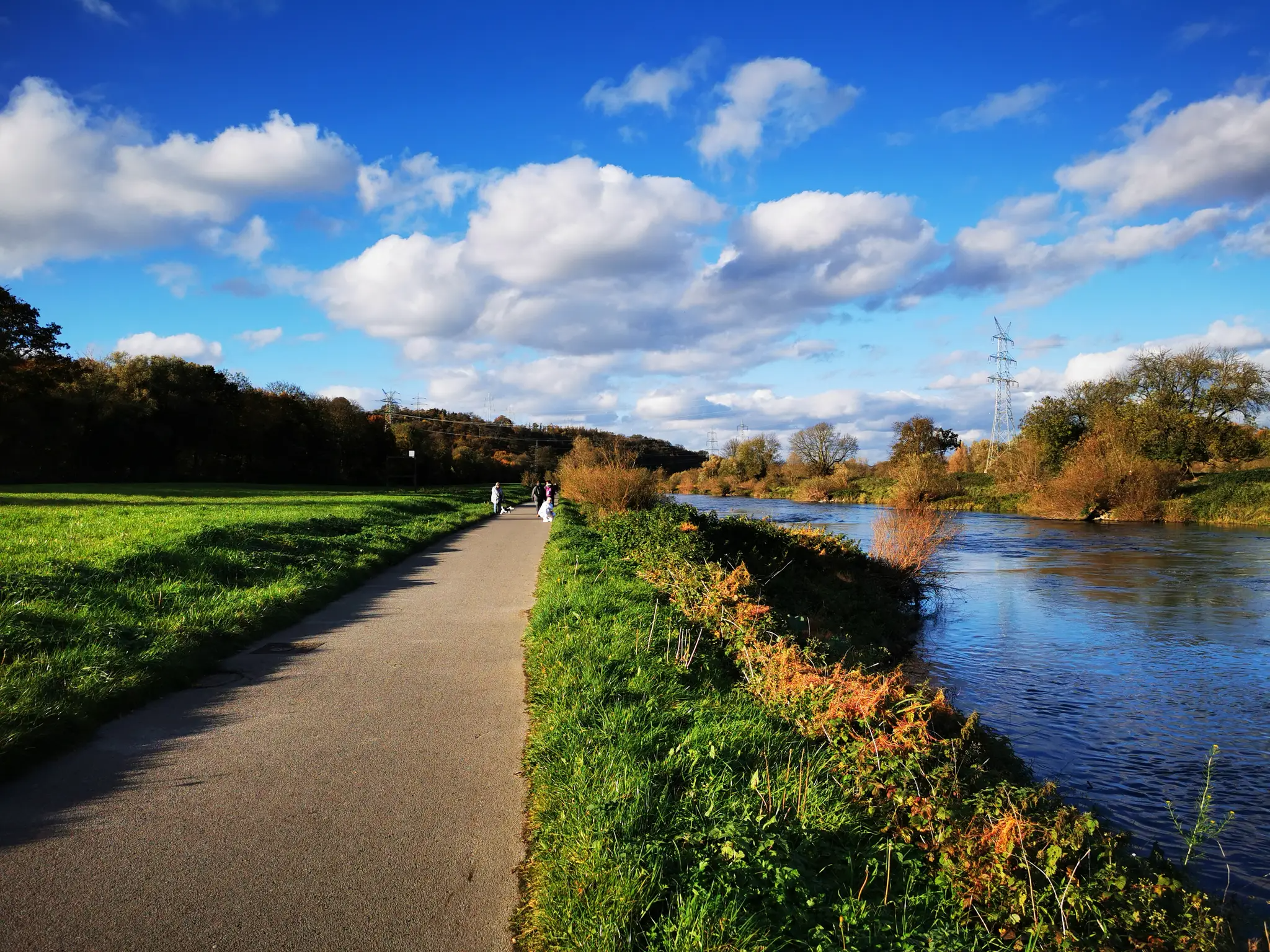
Ruhr Valley cycle path — 6 stages from Winterberg to the Rhine

Long live the break – bike tours with beer gardens & culinary delights
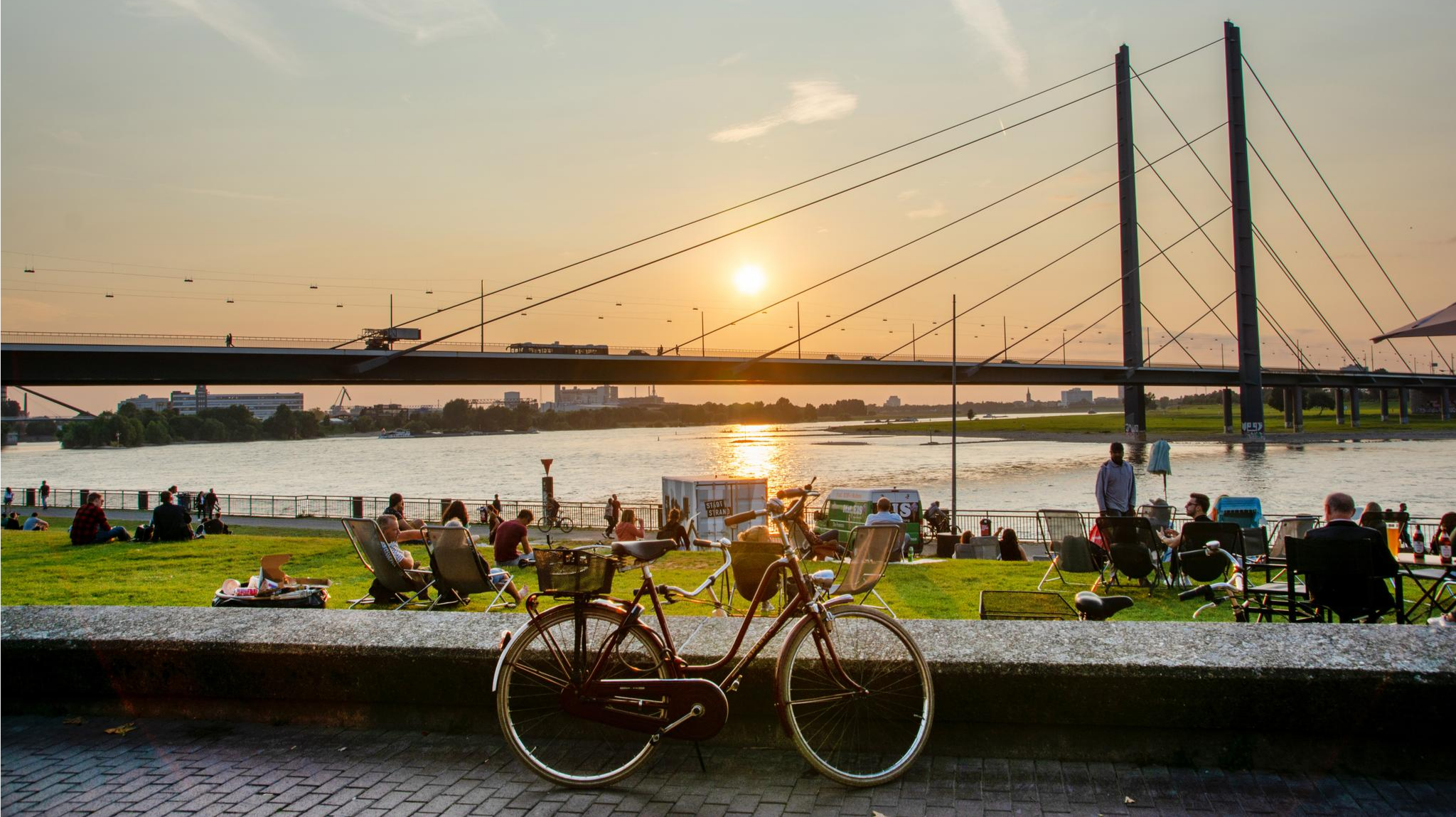
City, steel, river – cycling through North Rhine-Westphalia
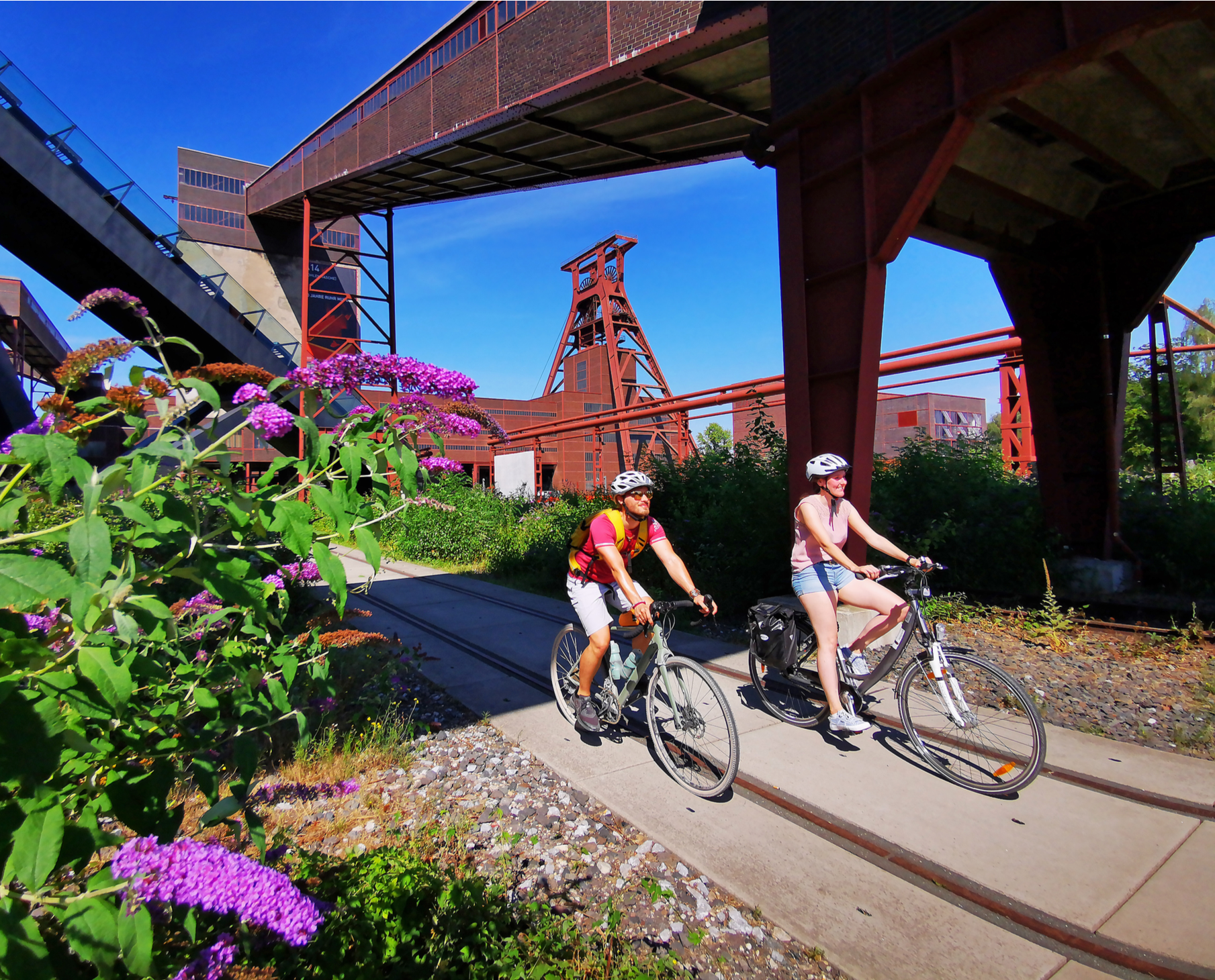
Railway cycling and industrial heritage in the Ruhr area – RevierRouten

The most eventful long-distance cycle routes in the Ruhr region
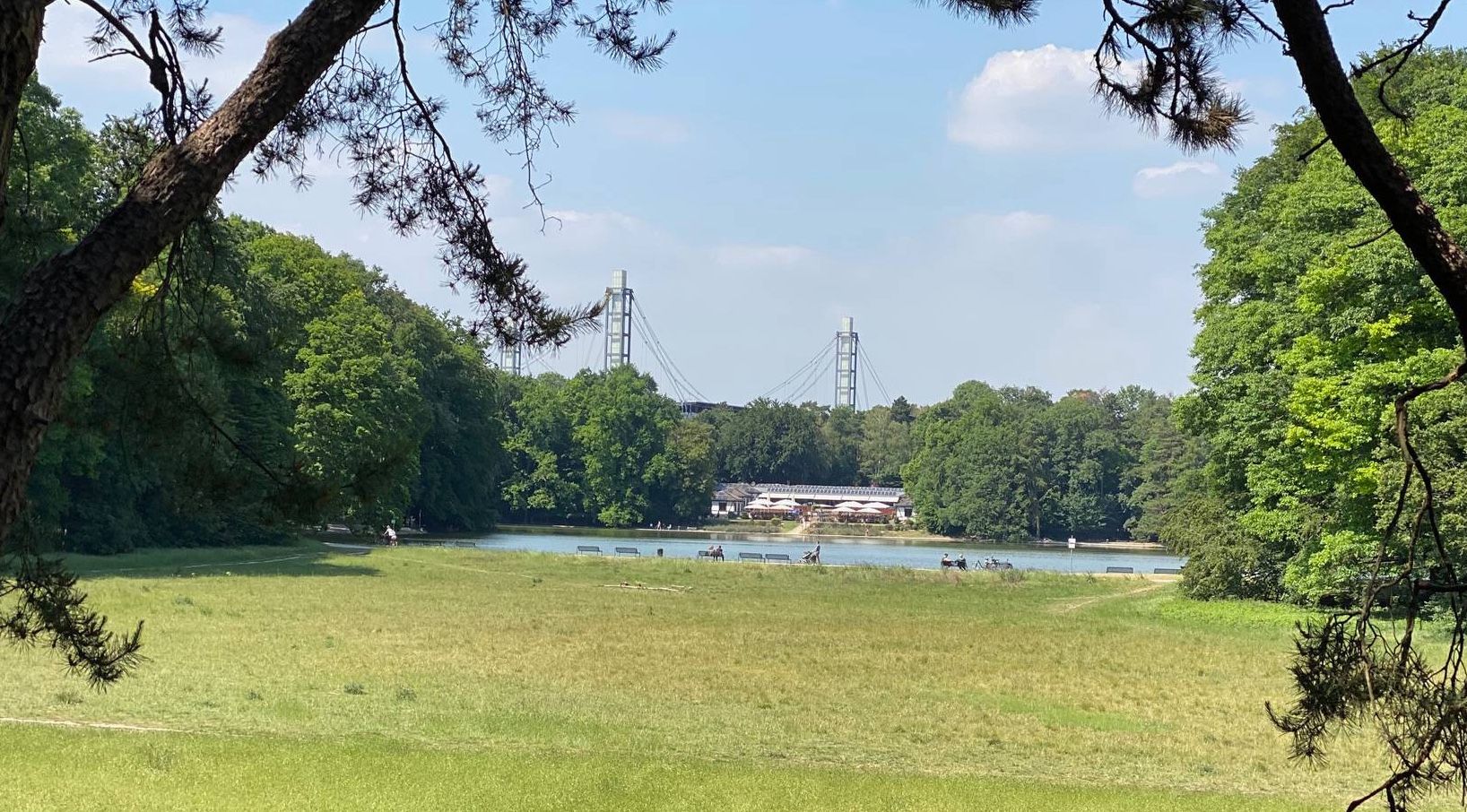
German Football Route NRW — history meets modernity
Other adventures around Mülheim an der Ruhr


Tips from the Community

Beautiful valley - beautiful photos
1
0

The Ruhrtalbrücke is a landmark from all sides and a beautiful photo motif
0
0


With 143 steps, the Himmelsleiter (Heaven's Ladder) connects the Forstbach valley with the Wöllenbeck, which runs above through the fields.
0
0
Beautifully constructed staircase on the hiking trail through the Rumbach valley
0
0

For the ferry ride, which is actually a White Fleet ride (1 stop), plan extra time and check the timetable beforehand, otherwise you may end up waiting for an hour.
1
0

Beautiful hiking trail in the Ruhr Valley towards the Ruhr Valley Bridge.
0
0
In summer simply a nice piece of distance, no question
0
0
Frequently Asked Questions
How many easy hiking trails are available in Mülheim an der Ruhr?
Mülheim an der Ruhr offers a wide selection of easy hiking trails, with over 490 routes specifically categorized as easy. In total, there are more than 660 hiking tours available in the region on komoot.
What kind of terrain can I expect on easy hikes in Mülheim an der Ruhr?
Easy hikes in Mülheim an der Ruhr feature a diverse landscape. You'll find paths along the scenic Ruhr River and its extensive floodplains, as well as routes through numerous wooded areas like the Uhlenhorster Forest and Eppinghofer Bruch. While many paths are easily accessible and relatively flat, some routes include moderate elevation gains, offering varied terrain for exploration.
Are there any family-friendly easy hiking trails in Mülheim an der Ruhr?
Yes, Mülheim an der Ruhr has several family-friendly options. For instance, the Entenfang Lake Beach – Entenfang Lake loop from Wambachtal und Oembergmoor is a short, easy walk around a lake. The historic Witthausbusch Park also offers playgrounds and an Arche Park petting zoo, making trails in that area, such as the Lohbach in the Witthausbusch – Kahlenberg Weir loop from Mülheim an der Ruhr, suitable for families.
What natural features or landmarks can I see along easy hiking trails?
Many easy trails showcase the region's natural beauty and landmarks. You can explore the Mülheimer Ruhraue Nature Reserve, walk along the Ruhr River, or visit the historic Schloß Broich. The Forstbachtal Nature Reserve offers trails with views of the Ruhrtal Bridge, and you might spot diverse bird species in the floodplains.
Are there easy circular walks available in Mülheim an der Ruhr?
Absolutely. Many easy routes in Mülheim an der Ruhr are circular, allowing you to start and end at the same point. Examples include the popular View of the Mülheimer Ruhraue Nature Reserve – Saarner floodplain loop from Stadtmitte, which takes you through scenic river landscapes, or the Rumbachtal Forest Staircase – View of Mülheim loop from Eichbaum, offering forest paths and views.
Can I find easy trails with viewpoints in Mülheim an der Ruhr?
Yes, several easy trails offer rewarding viewpoints. For instance, the View of the Mülheimer Ruhraue Nature Reserve – Saarner floodplain loop from Stadtmitte provides excellent vistas of the river and its floodplains. The Rumbachtal Forest Staircase – View of Mülheim loop from Eichbaum also includes spots with views over the city and surrounding areas.
What do other hikers say about the easy trails in Mülheim an der Ruhr?
The easy trails in Mülheim an der Ruhr are highly regarded by the komoot community, with an average rating of 4.5 out of 5 stars from over 5,500 reviews. Hikers frequently praise the well-maintained paths, the peaceful natural settings along the Ruhr River, and the variety of landscapes, from open floodplains to quiet woodlands.
Are there any easy hikes that pass by lakes or ponds?
Yes, you can find easy hikes that include lakes or ponds. The Entenfang Lake Beach – Entenfang Lake loop from Wambachtal und Oembergmoor is a prime example, offering a pleasant walk around Entenfang Lake. Additionally, the MüGa Park features ponds and water fountains, which can be incorporated into a leisurely stroll.
Are there any easy trails that include educational or cultural stops?
Yes, some easy trails offer more than just natural beauty. The Kahlenberg Weir – Haus Ruhrnatur Experience Museum loop from Mülheim an der Ruhr passes by the Haus Ruhrnatur, an experimental museum focusing on the Ruhr Valley's flora, fauna, and renewable energy. The Mülheim Heritage Nature Trail also provides insights into the region's history.
What is the shortest easy hiking trail available?
One of the shortest easy hiking trails is the Entenfang Lake Beach – Entenfang Lake loop from Wambachtal und Oembergmoor, which is approximately 3.2 kilometers (2 miles) long and can be completed in under an hour.
Can I find easy hikes that are mostly flat?
Many easy hikes in Mülheim an der Ruhr, particularly those along the Ruhr River and through its floodplains, are relatively flat. Routes like the Ruhr Island, Mülheim an der Ruhr – View of the Mülheimer Ruhraue Nature Reserve loop from Stadtmitte have minimal elevation gain, making them ideal for a leisurely, flat walk.
Most popular routes around Mülheim an der Ruhr
Most popular attractions around Mülheim an der Ruhr

Get inspired with the komoot mobile app


Didn’t find what you were looking for?
Check out more Hikes throughout Mülheim an der Ruhr below and find the perfect route in your destination.
Explore more
Browse the best Hikes in other regions.
