The best hikes from bus stations in Upper Franconia
4.6
(59489)
220,148
hikers
16,081
hikes
Hiking in Upper Franconia offers diverse landscapes, from the dense forests and granite formations of the Fichtel Mountains to the unique karst topography and river valleys of Franconian Switzerland. The region also features the rolling meadows and ancient beech forests of the Steigerwald. These areas provide a network of trails accessible via public transport, catering to various hiking preferences.
Best bus station hiking trails in Upper Franconia
- The most popular bus station hiking route is Fichtelberg Circular Trail No. 2…
Last updated: August 18, 2026
4.7
(256)
792
hikers
10.7km
02:58
190m
190m
Hike the Fichtelberg Circular Trail No. 2, a moderate 6.7-mile route through Fichtelgebirge Nature Park with lakes, rock formations, and for
4.5
(207)
753
hikers
13.5km
03:47
270m
270m
Moderate hike. Good fitness required. Easily-accessible paths. Suitable for all skill levels.

Sign up for free
4.7
(156)
530
hikers
18.0km
05:01
350m
350m
Hike the difficult 11.2 miles (18.0 km) Bierquellen-Wanderweg through Franconian Switzerland, enjoying scenic views and local breweries.
4.7
(103)
426
hikers
15.9km
04:20
180m
320m
Moderate hike. Good fitness required. Easily-accessible paths. Suitable for all skill levels.
4.8
(1418)
4,599
hikers
13.1km
03:58
430m
430m
Moderate hike. Good fitness required. Easily-accessible paths. Suitable for all skill levels.
Get access to more routes and recommendations from other explorers.
Sign up for free
Already have an account?
Our route recommendations are based on thousands of hikes, rides, and runs completed by other people on komoot.
Start today with a free account
Your next adventure awaits.
Login or Signup
Popular around Upper Franconia
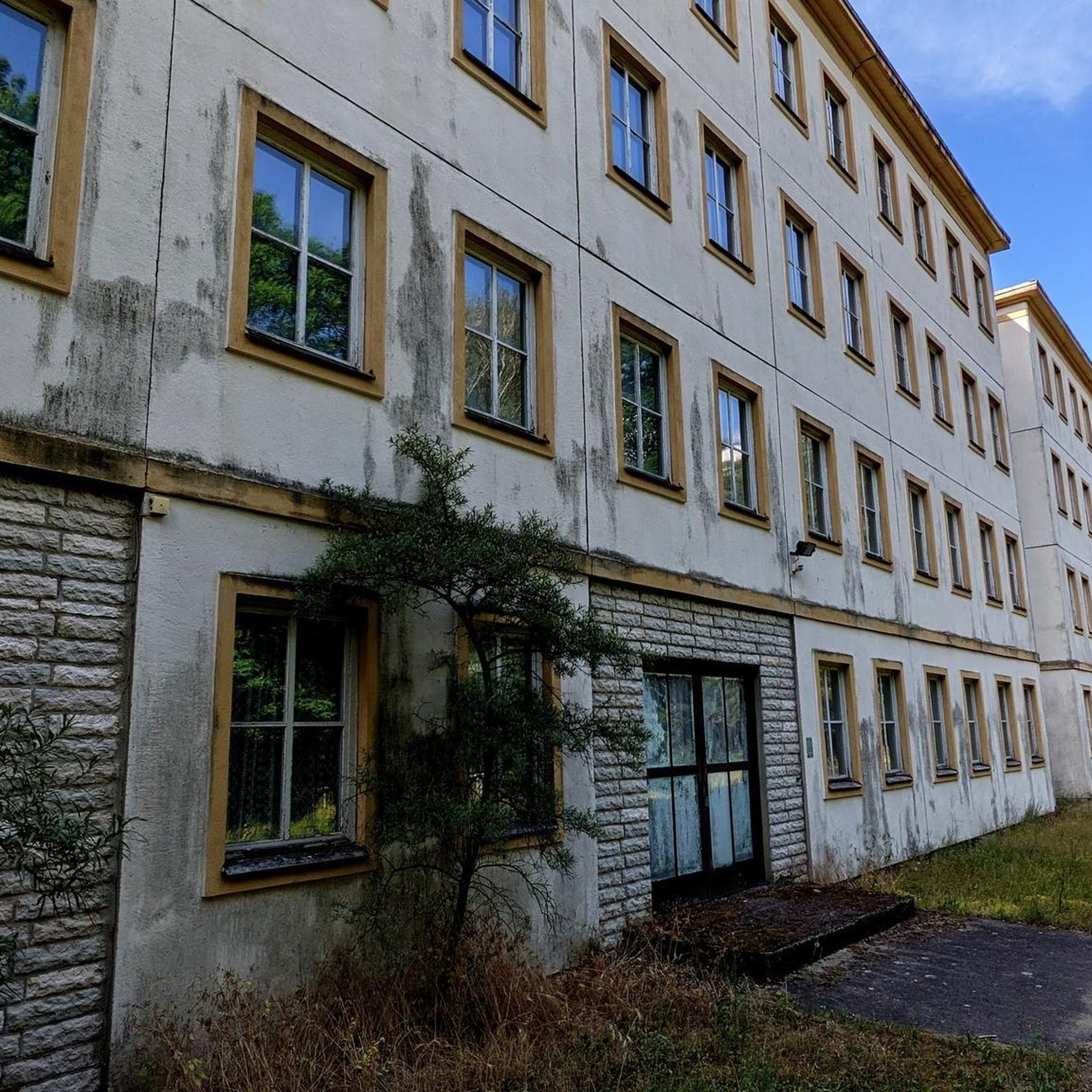
Hikes from bus stations in Naturpark Fränkische Schweiz - Frankenjura
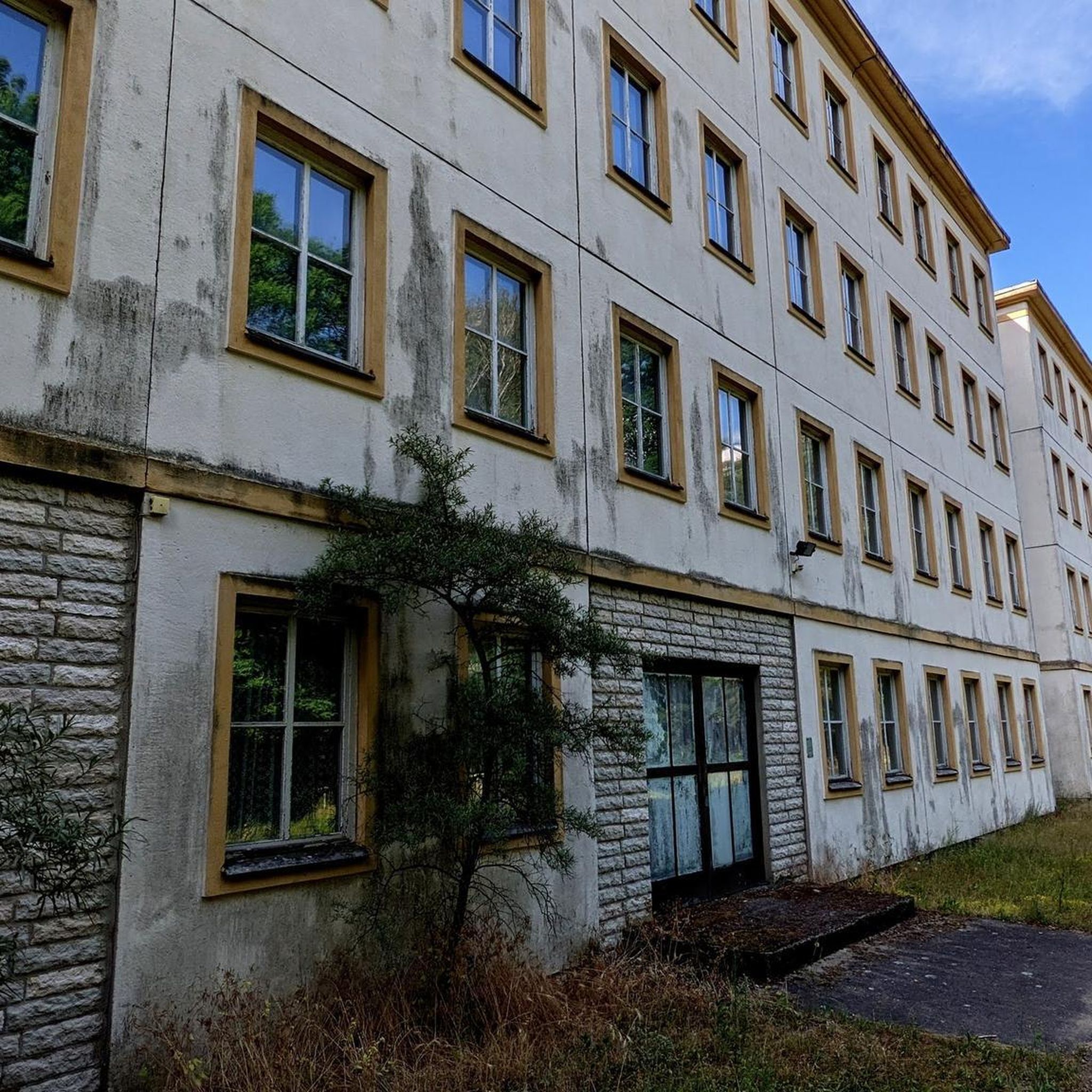
Hikes from bus stations in Franconian Switzerland
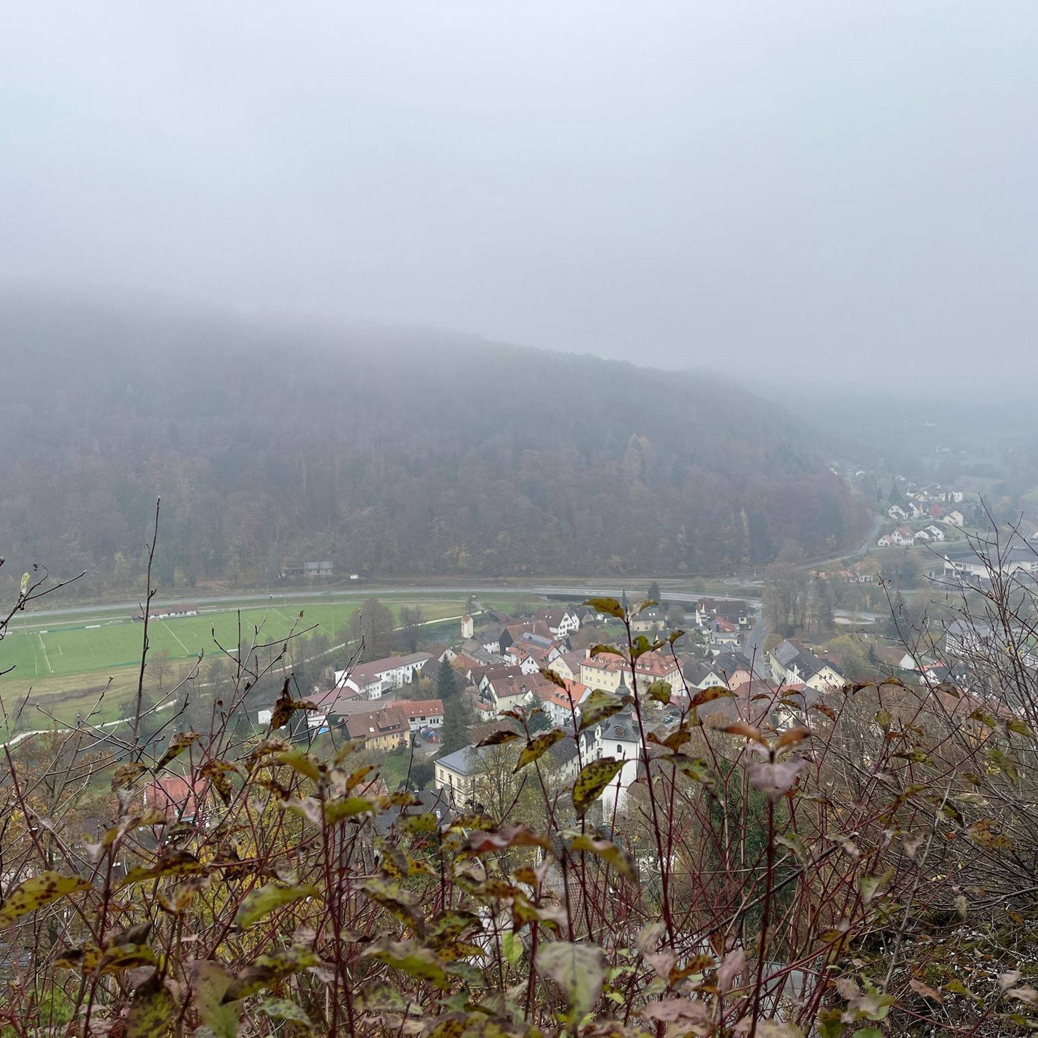
Hikes from bus stations in the Fichtel Mountains
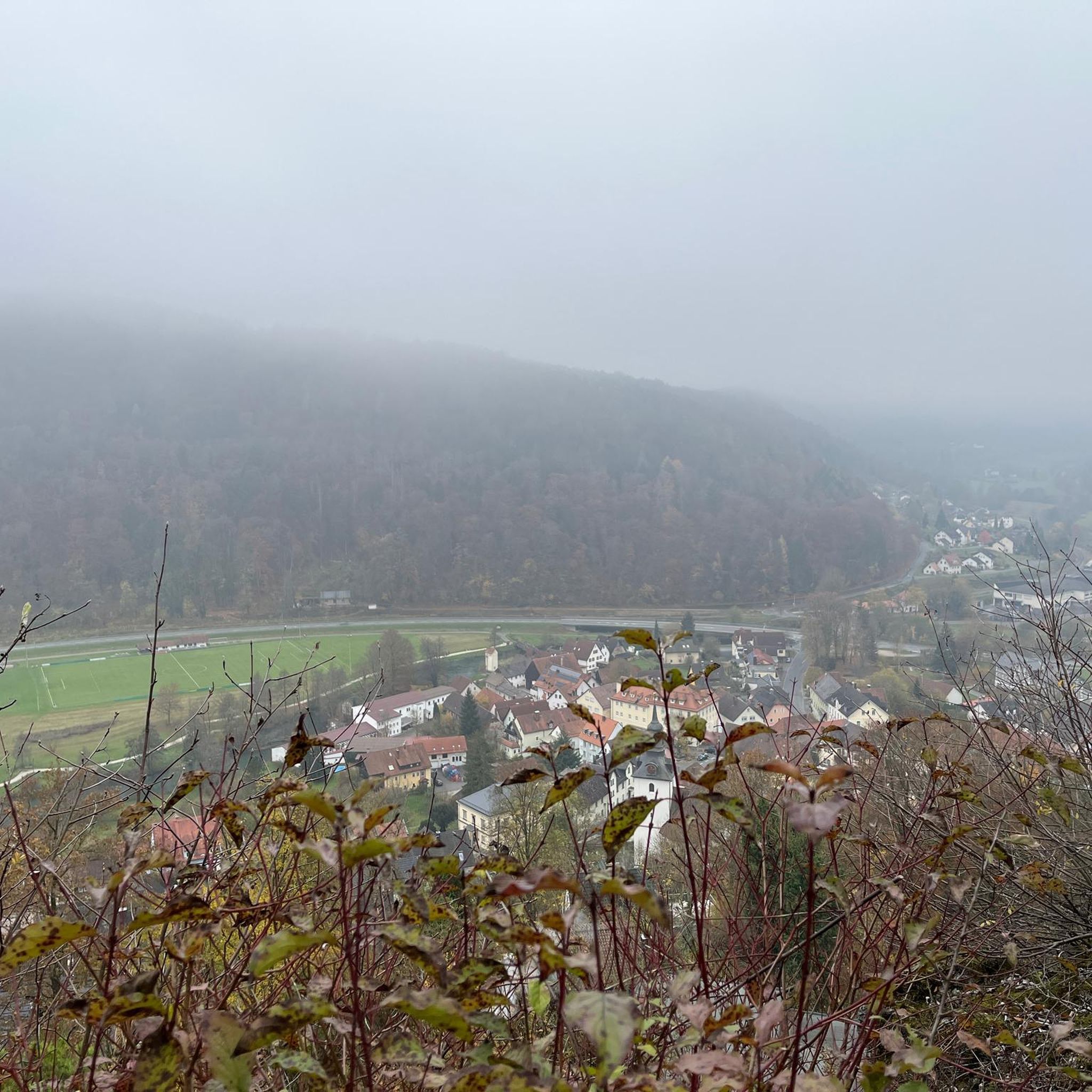
Hikes from bus stations in Naturpark Fichtelgebirge
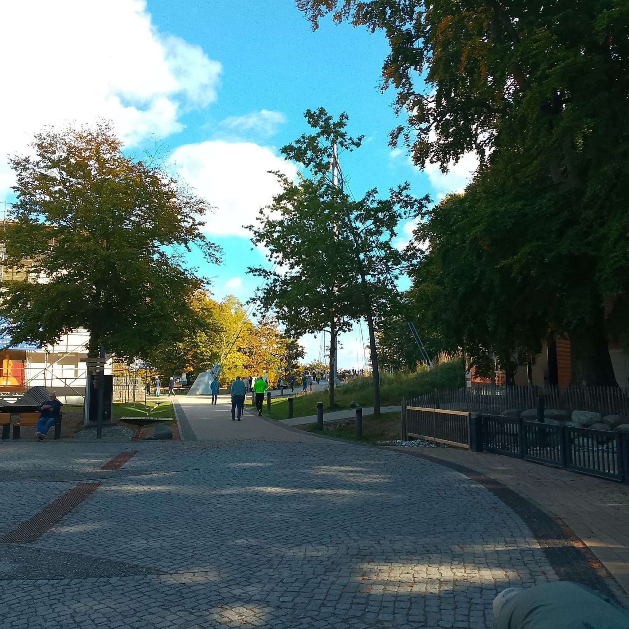
Hikes from bus stations around Landkreis Bamberg

Hikes from bus stations in Naturpark Frankenwald

Hikes from bus stations in the Franconian Forest

Hikes from bus stations around Kronach
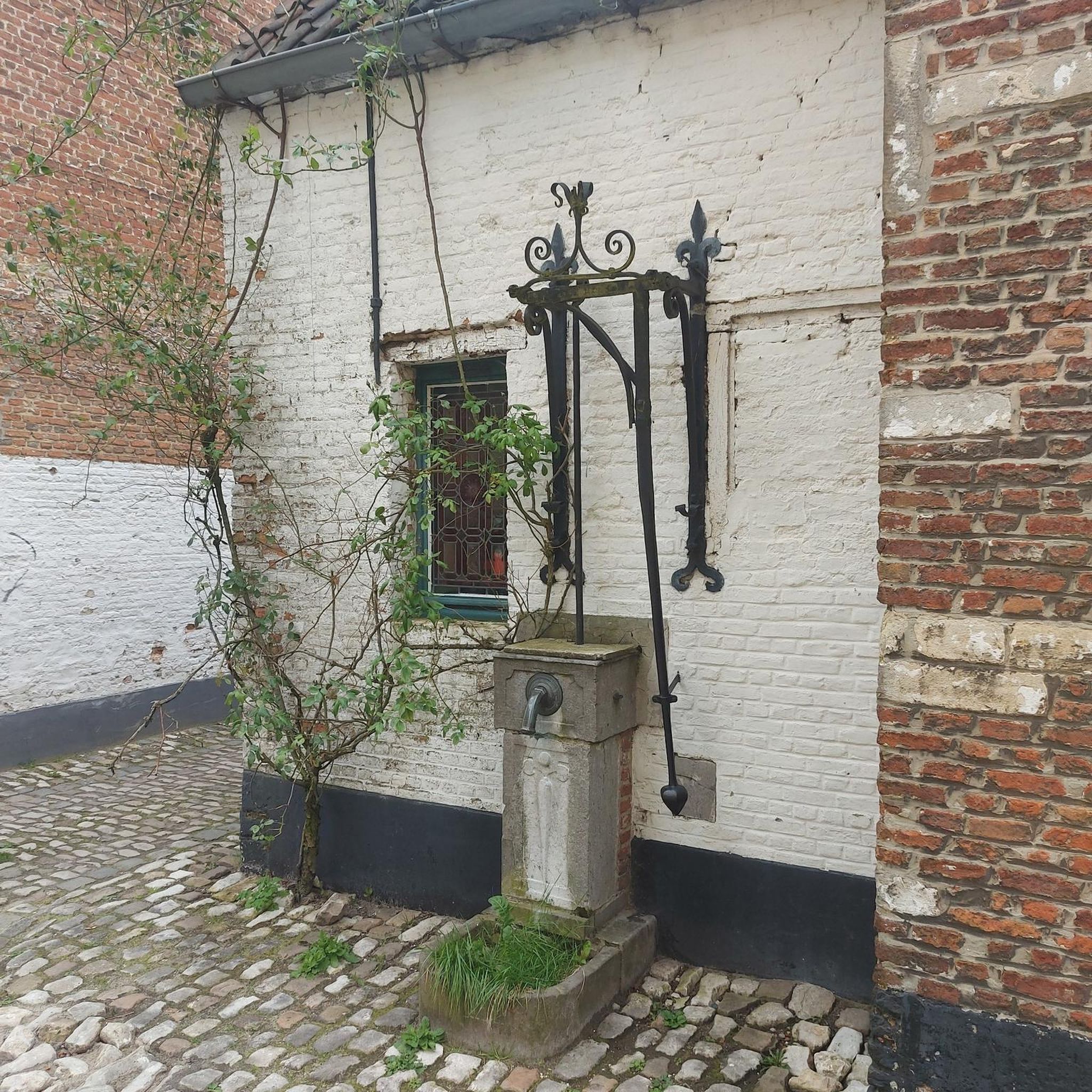
Hikes from bus stations in Lichtenfels
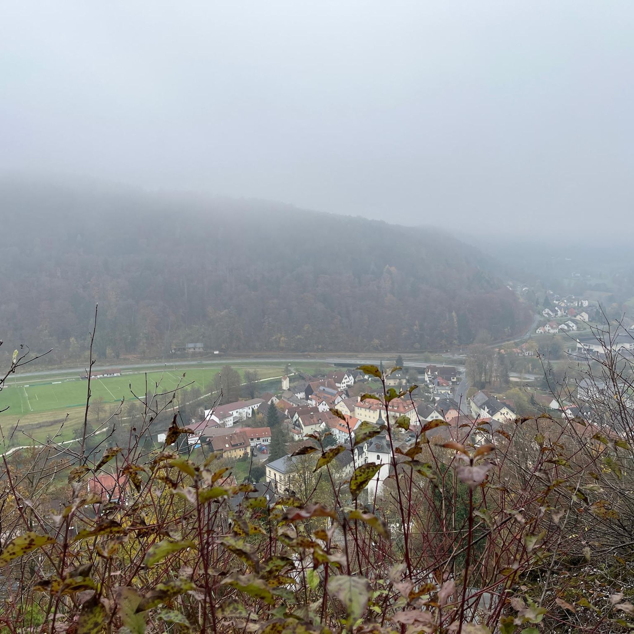
Hikes from bus stations in Landkreis Wunsiedel im Fichtelgebirge
Other adventures in Upper Franconia


Tips from the Community

Unfortunately, not much can be seen from here anymore.. the trees are now taller than the rock
5
1

Don't forget your flashlight, and it's best to set off early so you have more time for the hells.
0
0


The 13 Breweries Trail can easily be completed in three stages, planning so that the start and finish are accessible by public transport. However, this requires careful planning.
1
0

A great rock with a beautiful view of the valley. Especially recommended in spring and summer.
1
0

Very good beer 🍺 and the snack was also great I like the ambience
0
0

Always follow the path along the edge of the "Hohlen Berg" upwards, past some beautiful spots, you reach the striking rock needle with a view down into the Wiesenttal 🏔
1
0

This rustic wooden hut features a friendly host. Serving light and dark beer, it's worth a stop.
1
0
Frequently Asked Questions
How many bus-accessible hiking trails are there in Upper Franconia?
Upper Franconia offers a vast network of bus-accessible hiking trails, with over 16,000 routes available. These range from easy strolls to challenging day hikes, ensuring there's something for every skill level.
What makes Upper Franconia a good region for bus-accessible hikes?
Upper Franconia is ideal for bus-accessible hikes due to its diverse landscapes like the Fichtel Mountains, Franconian Switzerland, and Steigerwald, all well-connected by public transport. This allows hikers to explore dense forests, unique rock formations, and scenic river valleys without needing a car.
What do other hikers enjoy most about bus-accessible hikes in Upper Franconia?
The komoot community highly rates hiking in Upper Franconia, with an average score of 4.6 stars from over 64,000 ratings. Hikers frequently praise the region's varied natural beauty, the well-maintained trails, and the convenience of reaching trailheads via public transport.
Are there easy bus-accessible hikes for beginners in Upper Franconia?
Yes, Upper Franconia has numerous easy bus-accessible trails perfect for beginners. These routes often feature gentle gradients and well-marked paths. For example, many trails in the Steigerwald offer relaxed walks through forests and meadows.
Can I find circular routes starting from bus stations?
Absolutely. Many bus-accessible trails in Upper Franconia are designed as circular routes, allowing you to start and end your hike at the same bus stop. An example is the Fichtelberg Circular Trail No. 2, which offers a moderate loop experience.
Are there bus-accessible trails suitable for families with children?
Yes, many areas like the Fichtel Mountains and Steigerwald offer family-friendly routes accessible by bus. These trails often feature shorter distances, less challenging terrain, and points of interest that appeal to children, such as the Fichtel Lake.
Are bus-accessible trails in Upper Franconia dog-friendly?
Most hiking trails in Upper Franconia are dog-friendly, provided dogs are kept on a leash, especially in nature reserves or near wildlife. Always check local regulations for specific routes. The diverse landscapes offer plenty of opportunities for you and your canine companion to explore.
What is the best time of year to hike these bus-accessible trails?
Spring and autumn are generally considered the best times for hiking in Upper Franconia, offering pleasant temperatures and beautiful scenery with blooming flowers or vibrant fall foliage. Summer is also popular, but be prepared for warmer weather. Winter hikes are possible, especially on cleared paths, but require appropriate gear.
Are there any bus-accessible trails that lead to interesting natural attractions like caves or viewpoints?
Yes, Upper Franconia is rich in natural attractions accessible by bus. You can find trails leading to impressive cave systems like the Oswald Cave, or panoramic viewpoints such as Staffelberg. The Oswald Cave – Rock Gate in the Forest loop from Muggendorf is a great example.
Can I find bus-accessible hikes that include a stop at a traditional Franconian pub or brewery?
Absolutely! Franconian Switzerland is famous for its 'Brewery Trail' concept. You can find routes like the Beer Sources Trail or the 7 breweries in one go - Franconian Switzerland, which are often accessible by bus and allow you to combine hiking with local culinary experiences.
How long do bus-accessible hikes in Upper Franconia typically take?
The duration of bus-accessible hikes varies widely. You can find shorter routes taking a couple of hours, or longer, more challenging trails that can last a full day. For instance, the Hike to the beautiful view is a moderate route that typically takes around 3 hours and 45 minutes.
What kind of landscapes can I expect on bus-accessible hikes in Upper Franconia?
On bus-accessible hikes in Upper Franconia, you can expect a rich variety of landscapes. These include the dense forests and granite formations of the Fichtel Mountains, the unique karst landscapes and river valleys of Franconian Switzerland, and the rolling hills and beech forests of the Steigerwald. Many trails also feature picturesque villages and historical sites.
Most popular routes in Upper Franconia
Most popular attractions in Upper Franconia

Get inspired with the komoot mobile app


Didn’t find what you were looking for?
Check out more Hikes throughout Upper Franconia below and find the perfect route in your destination.
Explore more
Browse the best Hikes in other regions.
