Top 6 Mountain Passes around Wolfurt
Best mountain passes around Wolfurt are found in a municipality in the Bregenz District of Vorarlberg, Austria. Situated at 434 meters above sea level, Wolfurt lies between Bregenz and Dornbirn, within the Rhine Valley and the Bregenzerwaldgebirge. The landscape features riparian forests along the Bregenzer Ache and moorland meadows at the foot of the Steußberg. While Wolfurt itself does not host prominent passes, the surrounding Vorarlberg region offers accessible mountain passes.
Best mountain passes around Wolfurt
- The most popular mountain passes is Lorenapass, a mountain pass that connects Schwarzenberg and Alberschwende. This traffic-free pass offers views of the Bregenzer Ach valley.
- Another must-see spot is Staufen (Bregenzerwald Mountains), a summit. It provides views of Reinthal, Lake Constance, Vorarlberg, the Tyrolean Alps, and the Alpstein.
- Visitors also love Bödele – Losen Pass (1,140 m), a mountain pass. The western approach from Dornbirn offers views over Dornbirn, the Rhine Valley, and Lake Constance.
- Wolfurt is known for mountain passes that include challenging climbs, traffic-free routes, and panoramic viewpoints. The region offers a variety of mountain passes to explore, catering to different preferences.
- The mountain passes around Wolfurt are appreciated by the komoot community, with more than 300 upvotes and 398 photos contributed.
Last updated: August 17, 2026
Staufen (Bregenzerwald Mountains)
Highlight • Summit
The paths to the Staufenspitz are sometimes very demanding, so you should first find out carefully which path you want to take.
Translated by Google •
Tip by

Lorenapass
Highlight • Mountain Pass
Translated by Google •
Tip by

Sign up now to discover places like this
Get recommendations on the best single tracks, peaks, & plenty of other exciting outdoor places.
Sign up for free
Bödele – Losen Pass (1,140 m)
Highlight • Mountain Pass
Translated by Google •
Tip by
Northern Ascent to Lorenapass
Highlight (Segment) • Mountain Pass
Translated by Google •
Tip by

Lorenapass
Highlight (Segment) • Mountain Pass
Rhine Valley in the Bregenzerwald. Even Celts and Romans used it
Away probably for their hunting trips. The first settlers of the
Bregenzerwald moved across the Lorena around the year 1000 AD. Them
according to legend, towards the end of the 11th century the religious
offered Merbod, Ilga and Diedo, the three blessed siblings from the
Bregenz Grafenhaus.
In times of war, the Lorenahöhe was also a line of defence,
as the neighboring field name "Letze" says. Temporarily ran here
even a state border.
Not far from here is a mountain hut with the strange name
"Schwedenhütte" and it happened like this: in 1647 the Swedes came
also in the Bregenzerwald during the Thirty Years' War. As
is told, dashing women in the forest at that time are said to have contributed to the Fallenbach
Egg a marauding swedish troop with flails, pitchforks and
defeated the scythes. The pigeon landlady is also there
von Alberschwende, who considered a seriously injured Swede
captives, nursed back to health, and then as shepherds in their
Bèrggut used on the Lorena. He did a good job there
and was very happy.
Many years later he was allowed to do it with the pigeon landlady and her daughters
for the feast of HI. Gebhard with me to Bregenz. But there it was
Lutheran before, after having generously awarded the good Tyrolean wine
had and of the memories of the glorious conquest of the fortress
on the Gebhardsberg had been overwhelmed in the direction of his
original homeland Sweden. But strange: ever
The farther he went, the more he yearned for his
beloved new home on the Lorena. After a long march found
he went there again and stayed in the Lorenahütte, which has been there ever since
"Schwedenhütte" means happy retirement.
The German poet Wilhelm Raabe put the old Swede, the
he called Sven Knudson Knäckabröd, in the novella Der Marsch nach
home"
a lovely monument.
Translated by Google •
Tip by

Sign up for free to discover even more mountain passes around Wolfurt.
Sign up for free
Already have an account?
Start today with a free account
Your next adventure awaits.
Login or Signup
Popular around Wolfurt

Maximilian Trail in Germany — Lake Constance to Königssee
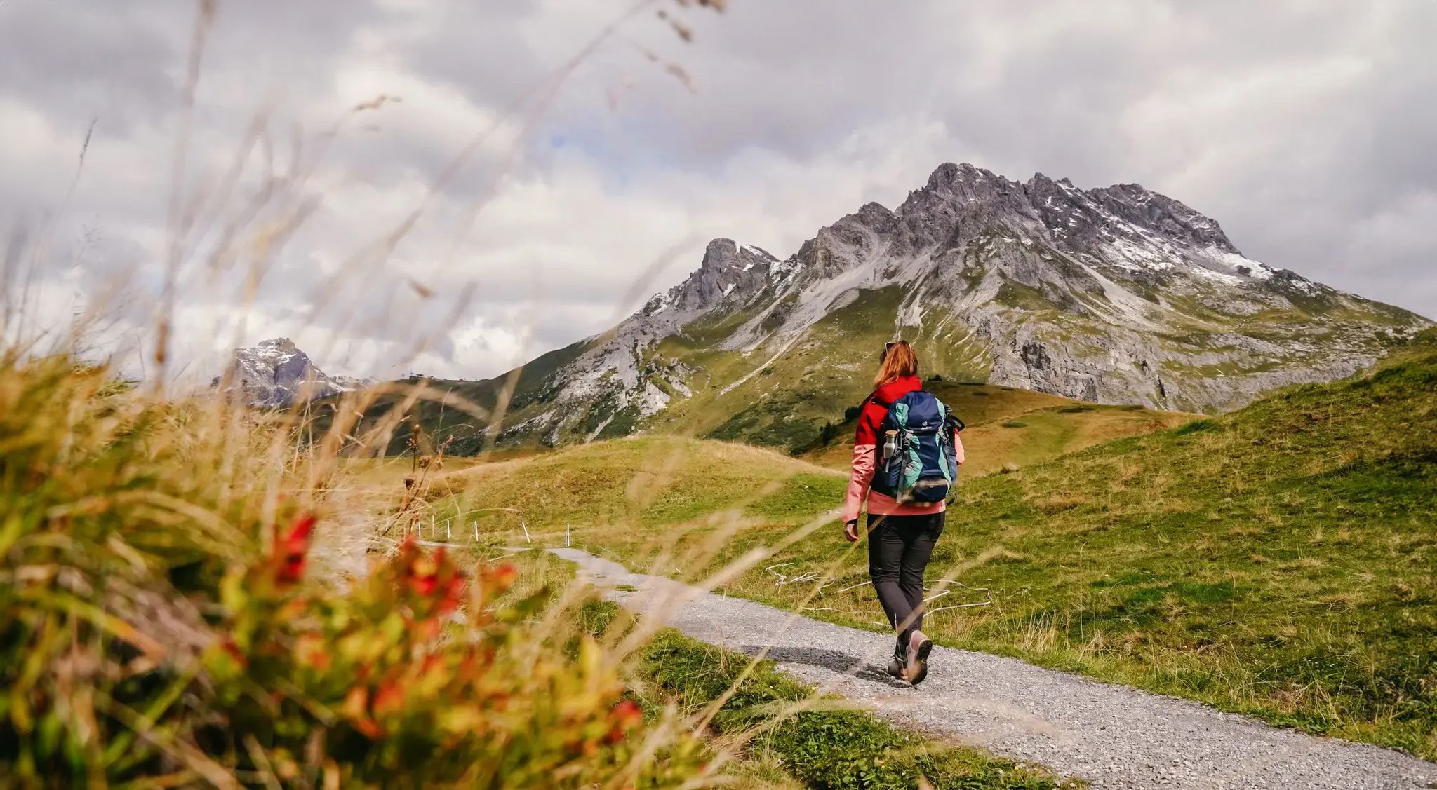
Vorarlberg in autumn – the 6 most beautiful hikes in the golden season
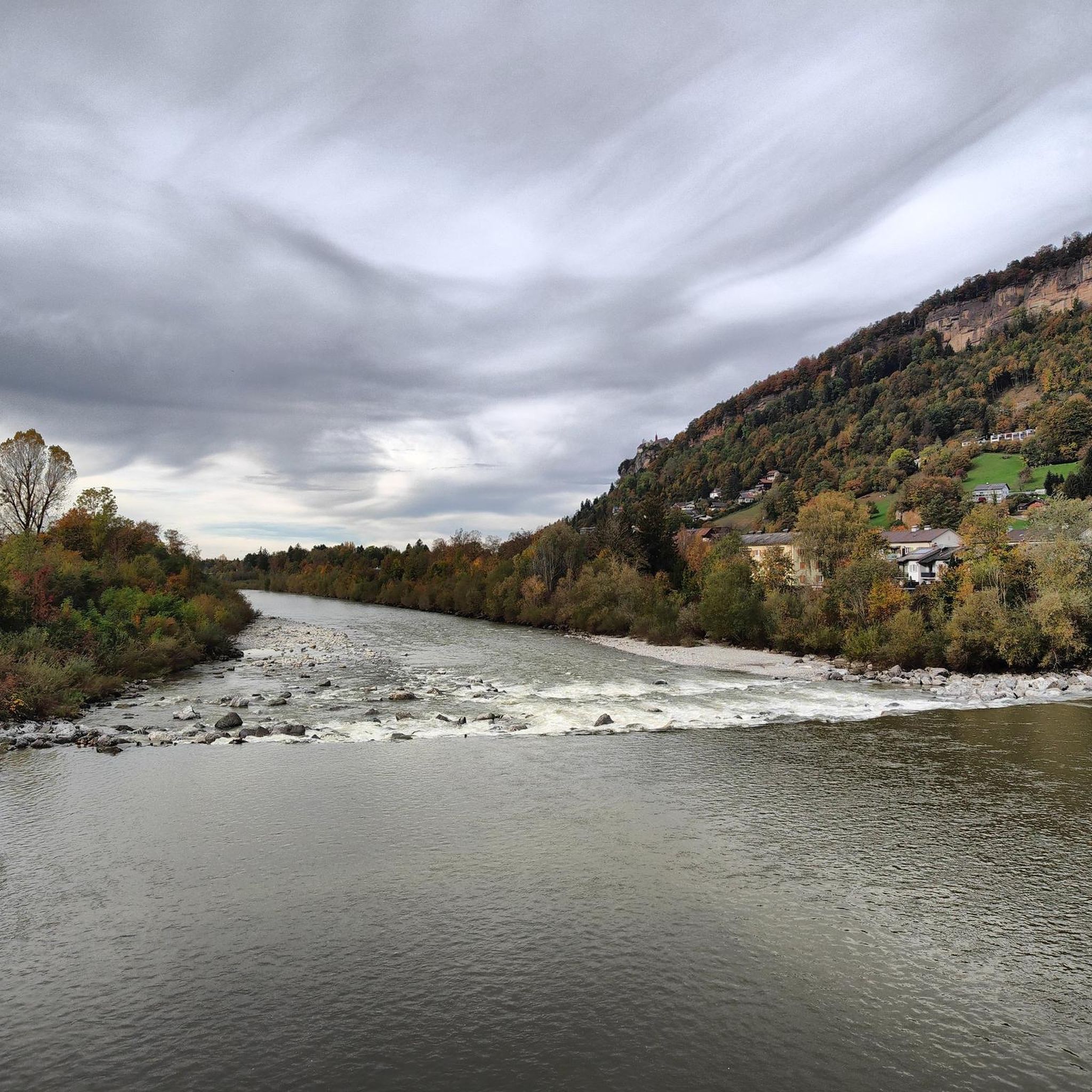
Hiking around Wolfurt
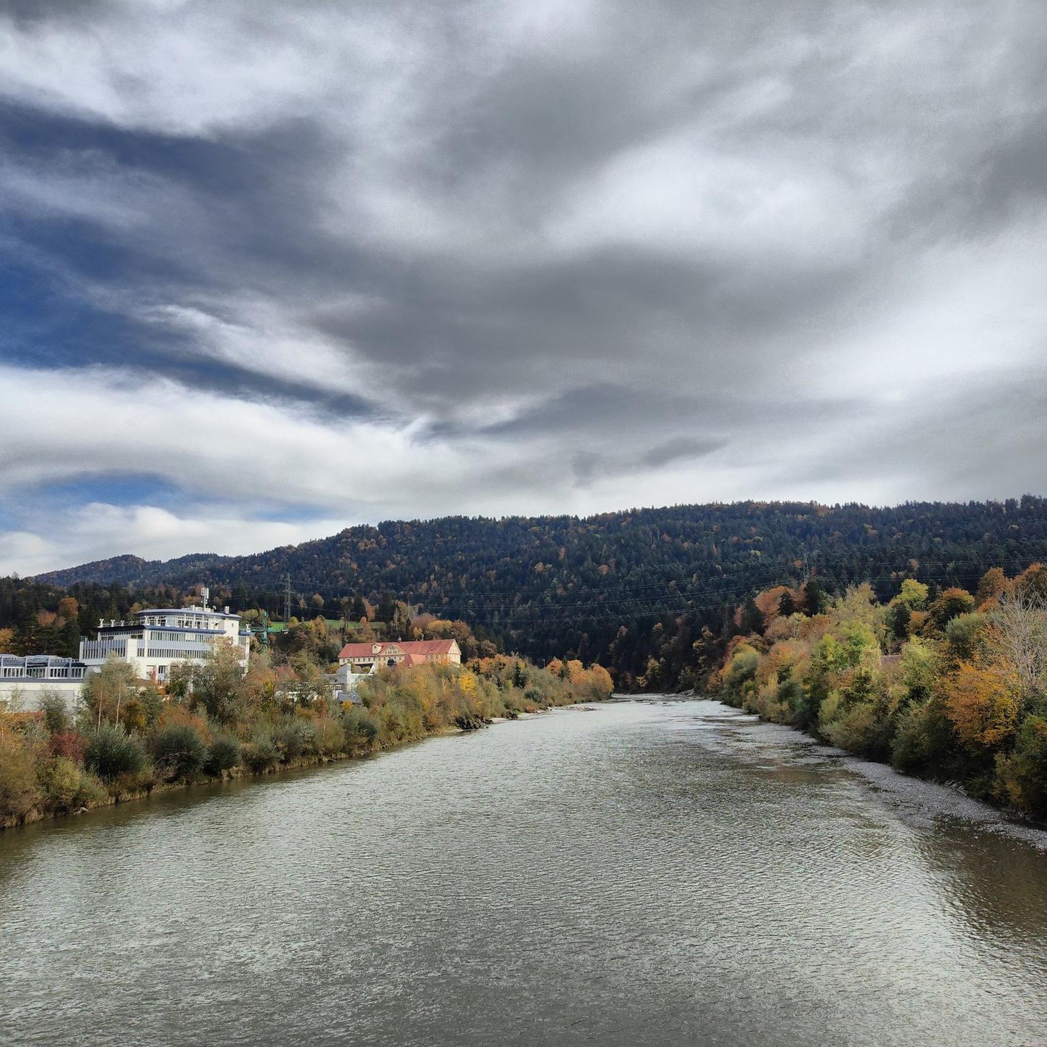
Cycling around Wolfurt
Road Cycling Routes around Wolfurt
MTB Trails around Wolfurt
Gravel biking around Wolfurt
Running Trails around Wolfurt

Mountain Hikes around Wolfurt


Tips from the Community

North ascent to the Lorena Pass from Alberschwende.
0
0

Small, largely car-free pass between Schwarzenberg and Alberschwende.
2
0
Beautiful route, practically no traffic except for a few farm residents.
0
0
From the Dornbirn side, the route is wide and has a fairly constant gradient of a maximum of 10%. It offers beautiful views towards the Rhine Valley and Lake Constance, but there's little shade, making it a challenge in the summer heat. It's relatively busy, so enjoy it in the early morning hours if possible. The Schwarzenberg side is smaller and more winding, but also leads mostly uphill through meadows with great views but little shade. The very good road surface (June 2025) makes both up and down enjoyable.
0
0

Hardly any traffic and great climb
0
0

A path that is a lot of fun. From root paths to mountain climbing and up to 2 ladders. Really recommended.
4
0

Beautiful but steep driveway into the Bregenz Forest. Lots of motorcyclists on the weekend
0
0

Driving on March 2, 2024: South ramp newly asphalted in the upper area, completely completed and therefore in perfect condition. The lower area is in the usual, unrenovated condition.
5
1
Frequently Asked Questions
What kind of views can I expect from the mountain passes near Wolfurt?
The mountain passes in the region offer diverse and stunning vistas. For instance, Staufen (Bregenzerwald Mountains) provides panoramic views of Reinthal, Lake Constance, Vorarlberg, the Tyrolean Alps, and the Alpstein. From the western approach to Bödele – Losen Pass (1,140 m), you can enjoy magnificent views over Dornbirn, the Rhine Valley, and Lake Constance, while the eastern ramp opens up a wonderful panorama of the upper Bregenzerwald.
Are there any traffic-free mountain passes suitable for cycling or quiet walks?
Yes, the Lorenapass is largely traffic-free, making it ideal for cyclists and those seeking a peaceful experience. This pass connects Schwarzenberg and Alberschwende with a narrow road winding through beautiful mountain meadows, offering wonderful views of the Bregenzer Ach valley.
What are the difficulty levels of the mountain passes around Wolfurt?
The region offers a range of difficulties. Some paths to summits like Staufen (Bregenzerwald Mountains) can be very demanding. The Lorenapass features steep sections, particularly on its northern ascent, with gradients up to 16%. Similarly, the main road to Bödele – Losen Pass (1,140 m) from Dornbirn has constant gradients of 8-12%.
Are there historical sites or interesting stories associated with these mountain passes?
The Lorenapass has a rich history. It was an ancient access route used by Celts and Romans, and later by the first settlers of the Bregenzerwald around 1000 AD. During the Thirty Years' War, it served as a line of defense, and there's a legend about a 'Schwedenhütte' (Swede's Hut) linked to a Swedish soldier who settled there.
What outdoor activities can I do near the mountain passes around Wolfurt?
Beyond exploring the passes themselves, the broader Wolfurt region offers numerous outdoor activities. You can find excellent options for gravel biking, with routes like the 'Bregenzer Ach Cycling Route – Lorenapass loop'. There are also many hiking trails, including challenging ones like the 'Wooden Railway Sleeper Archway – Rotach Tunnel loop' or easier options such as the 'Lauterach Railway Bridge – Bregenzer Ach Riverside Path loop'.
Are there any easy or beginner-friendly mountain passes or routes nearby?
While some passes have challenging sections, the region also offers more accessible experiences. For easier hikes, consider routes like the 'Lauterach Railway Bridge – Bregenzer Ach Riverside Path loop' or the 'Kreuz Inn, Maria Bildstein – Maria Bildstein Basilica loop' which are part of the easy hikes around Wolfurt guide. These provide a gentler introduction to the area's natural beauty.
Where can I find refreshments near the mountain passes?
If you're visiting the Bödele – Losen Pass (1,140 m), you have the opportunity to refresh yourself at establishments like the Berghof Fetz or the Alpenhotel Bödele once you've reached the pass.
What is the best time of year to visit the mountain passes near Wolfurt?
The region's mountain passes are generally best explored during the warmer months, from late spring to early autumn, when paths are clear of snow and weather conditions are more stable for hiking and cycling. This allows for optimal enjoyment of the views and outdoor activities.
What natural features, besides mountain passes, can I discover in the Wolfurt area?
Wolfurt is situated in a diverse landscape that includes riparian forests along the Bregenzer Ache and moorland meadows at the foot of the Steußberg. The broader Bregenzerwaldgebirge offers a rich natural environment, with views extending to Lake Constance and the Tyrolean Alps from higher points like Staufen.
What do visitors particularly enjoy about the mountain passes around Wolfurt?
Visitors frequently praise the stunning views, the peaceful, traffic-free sections, and the challenging climbs that cater to different preferences. The rural charm and abundant nature, especially around the Lorenapass, are often highlighted. The komoot community has contributed over 398 photos and more than 300 upvotes, reflecting a strong appreciation for the area's beauty and outdoor opportunities.
Are there options for public transport to reach mountain passes from Wolfurt?
Wolfurt is well-connected by transport, including a railway station, and is integrated into Vorarlberg's extensive public transport network. While direct routes to specific high mountain passes might require transfers or a final walk, local buses often serve towns and villages closer to the trailheads in the surrounding Vorarlberg region. It's advisable to check local bus schedules for specific routes to your chosen pass.
Can I find circular routes that incorporate these mountain passes?
Yes, many routes in the region are designed as loops, allowing you to experience the passes as part of a circular journey. For example, the 'Bregenzer Ach Cycling Route – Lorenapass loop' is a gravel biking option. When planning your trip, look for tours that start and end in the same location or near public transport hubs to facilitate circular exploration.
Most popular routes around Wolfurt
Most popular attractions around Wolfurt

Get inspired with the komoot mobile app


Explore more
See even more epic mountain passes by checking out these guides around Wolfurt:
