The best walks and hikes around Wolfurt
4.6
(19185)
101,436
hikers
54
hikes
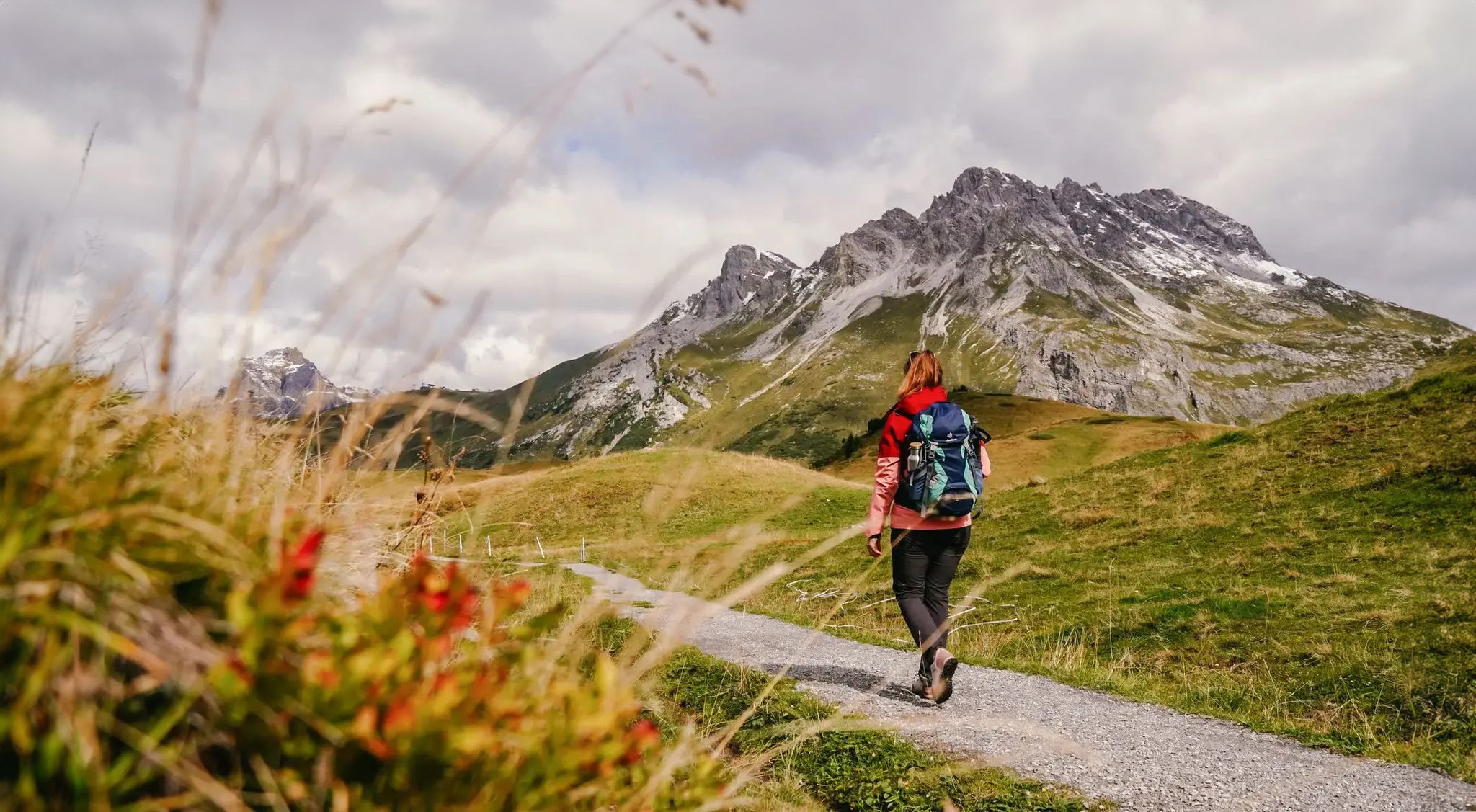
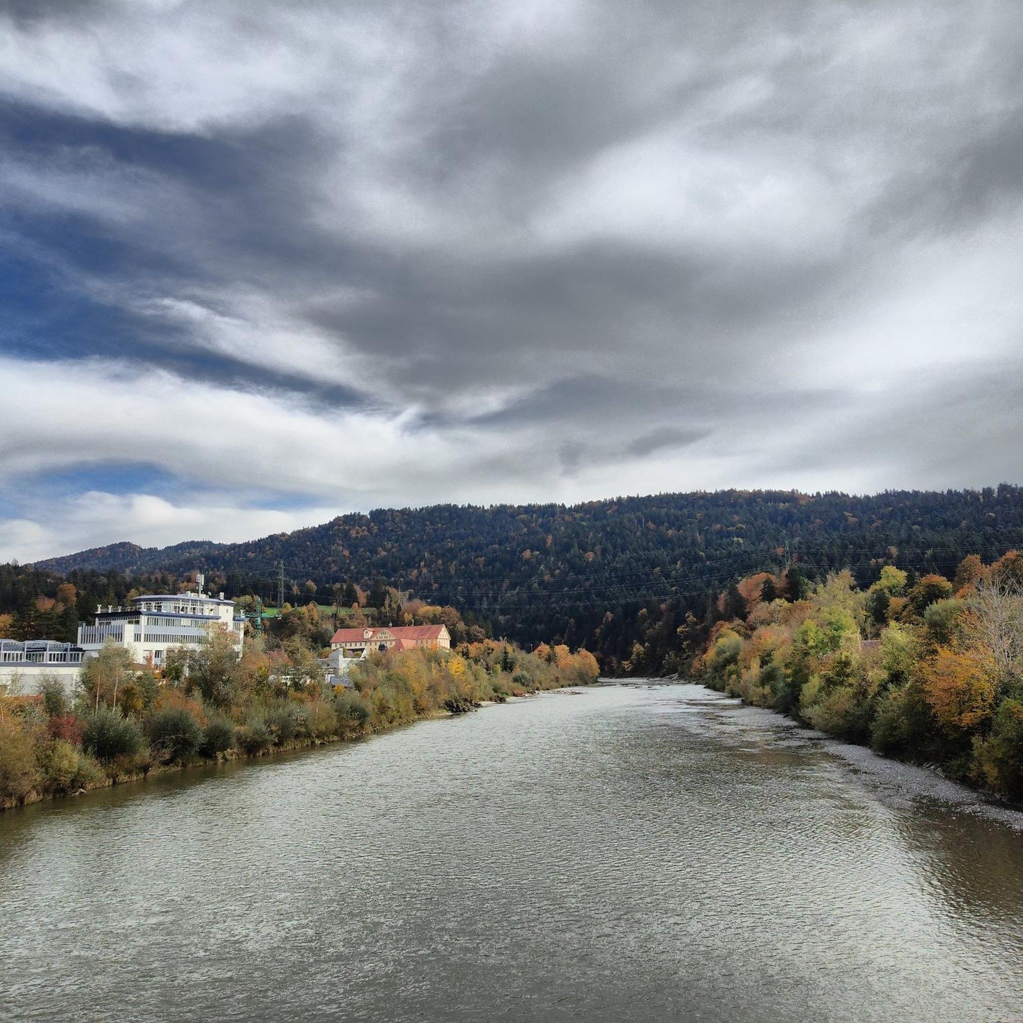
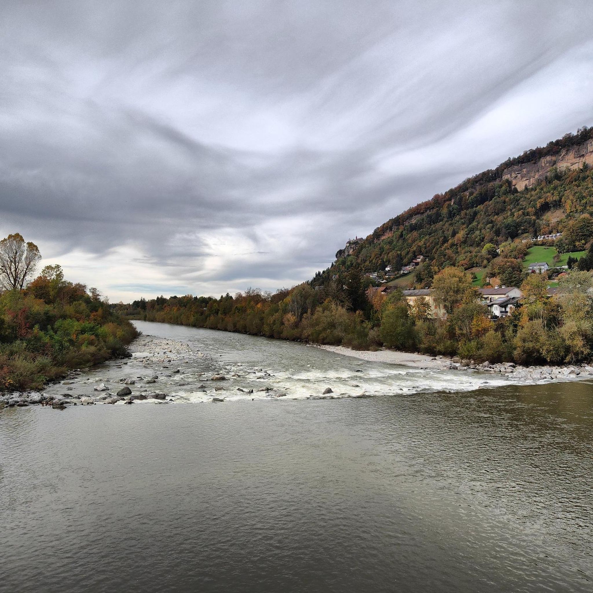
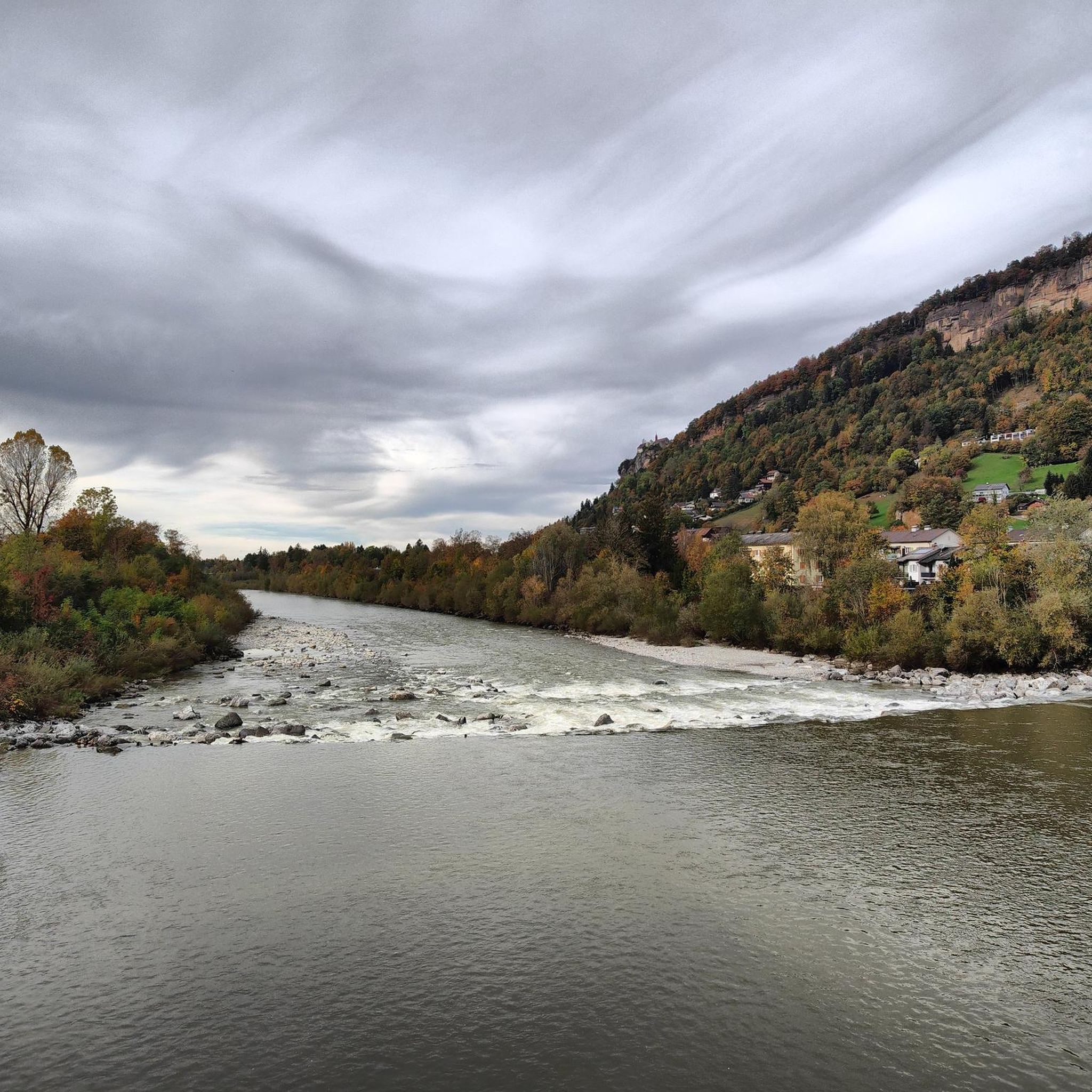
Hiking around Wolfurt offers a diverse landscape for outdoor enthusiasts, situated in the Austrian state of Vorarlberg. The region is characterized by its proximity to the Bregenzer Ach river, providing riverside paths and views of the surrounding hills. Trails often lead through forested areas and offer glimpses of Lake Constance and the distant Alps. The terrain includes gentle ascents and descents, with some routes featuring more significant elevation changes.
Best hiking trails around Wolfurt
- The most popular hiking route is…
Last updated: August 11, 2026
4.7
(36)
123
hikers
21.2km
06:07
490m
490m
Hard hike. Very good fitness required. Sure-footedness, sturdy shoes and alpine experience required.
3.7
(7)
110
hikers
Easy hike. Great for any fitness level. Easily-accessible paths. Suitable for all skill levels.

Sign up for free
4.7
(3)
92
hikers
7.12km
02:35
360m
360m
Hard hike. Good fitness required. Sure-footedness, sturdy shoes and alpine experience required.
4.8
(12)
81
hikers
Hard hike. Very good fitness required. Easily-accessible paths. Suitable for all skill levels.
5.0
(2)
40
hikers
10.2km
03:13
400m
400m
Moderate hike. Good fitness required. Mostly accessible paths. Sure-footedness required.
Get access to more routes and recommendations from other explorers.
Sign up for free
Already have an account?
Our route recommendations are based on thousands of hikes, rides, and runs completed by other people on komoot.
Start today with a free account
Your next adventure awaits.
Login or Signup
Popular around Wolfurt




Tips from the Community

Ippach Brünnele, drinking water for on the go
0
0

Prices are heavily inflated.
0
0

From here you have a beautiful view up to the Pfänder mountain station, which sits above the meadows and wooded areas near the summit. You can see the cable car, trails, and visitors arriving and disappearing at the top, while Bregenz and Lake Constance lie below you. It's the perfect spot for a quick photo stop and to get your bearings before continuing your hike.
4
0
From the Pfänder mountain, you can enjoy a sweeping view across Lake Constance and over to the Bregenzerwald forest with its rolling hills and mountains. Below you lie Bregenz and the Rhine Valley, and beyond, the lake and peaks shimmer in competition with each other. An ideal spot for a panoramic break, perfect for taking photos and guaranteed to awaken your wanderlust.
6
0
From here you have a beautiful view up to the Pfänder summit with its distinctive transmission tower and the expansive meadow slopes. As you hike, you can clearly see how the paths and trails wind their way towards the summit. It's an ideal spot for a short panoramic stop to plan the rest of your route.
4
0
The Pfänder Glück farm shop is a small, charming farm shop on the mountain where you can buy regional products directly from the farm. It's ideal for a quick stop after your hike to pick up cheese, sausage, or other delicacies. Perfect for rounding off your Pfänder excursion with a taste of Vorarlberg.
5
0

There's delicious Moor beer up there. That's good motivation for a summit climb.
4
0

Sturdy shoes are an advantage
0
0
Frequently Asked Questions
How many hiking trails are there in Wolfurt?
Wolfurt offers a wide variety of hiking experiences with over 50 trails. These include 17 easy routes, 27 moderate excursions, and 9 more challenging hikes, ensuring options for every skill level.
Are there easy or family-friendly hiking trails in Wolfurt?
Yes, Wolfurt has 17 easy trails perfect for families or beginners. A great option is the Lauterach Railway Bridge – Bregenzer Ach Riverside Path loop from Lauterach, which is an easy 3.5-mile (5.6 km) path following the Bregenzer Ach river, offering flat terrain and scenic waterside views.
What kind of natural attractions can I see while hiking in Wolfurt?
The region is rich in natural beauty. You can explore the Kirchle Rock Cathedral and the nearby Gorge and waterfalls near Kirchele Cave. Many trails also offer panoramic views of Lake Constance and the distant Alps.
Are there any circular walks available in Wolfurt?
Many of Wolfurt's trails are designed as loops, allowing you to start and end at the same point. For example, the Great view of Wolfurt Castle – Eulentobel Wooden Bridge loop from Lauterach is a moderate 6.4-mile (10.3 km) circular route that takes you through forested ravines and past historical landmarks.
What are the best times of year to go hiking in Wolfurt?
The hiking season in Wolfurt generally runs from spring through autumn, when the weather is mild and the trails are clear. Autumn offers particularly beautiful scenery with vibrant foliage. While some trails are suitable for winter, it's always advisable to check local conditions for snow and ice.
Are there any historical landmarks or viewpoints along the trails?
Absolutely. Hikers can discover historical elements like the railway features on the Wooden Railway Sleeper Archway – Rotach Tunnel loop from Lauterach. For stunning vistas, consider routes that lead to viewpoints like the View of the Alps from the Pfänder or the View of Bregenz and Lake Constance.
What do other hikers say about the trails in Wolfurt?
The hiking trails in Wolfurt are highly regarded by the komoot community, holding an average rating of 4.6 out of 5 stars from over 350 reviews. Hikers frequently praise the diverse landscapes, from riverside paths along the Bregenzer Ach to forested hills and panoramic views.
Can I reach the hiking trails in Wolfurt using public transport?
Wolfurt is well-connected within the Vorarlberg region. Many trailheads, particularly those starting from Lauterach, are accessible via local bus services. It's recommended to check the local public transport schedules for specific route access points.
Are there parking facilities available near the trailheads?
Yes, for many popular hiking routes around Wolfurt, designated parking areas are available near the starting points. These are often found in or near the surrounding villages like Lauterach, providing convenient access for those traveling by car.
Are there any trails that offer views of Lake Constance?
Many trails in the Wolfurt area provide glimpses or expansive views of Lake Constance. The region's elevated positions allow for scenic overlooks, particularly on routes that ascend into the surrounding hills. For example, the Tobelbach ford in Wolfurt – View of Lake Constance loop from Lauterach offers such vistas.
Are there any challenging hikes for experienced hikers?
Yes, for experienced hikers, Wolfurt offers 9 difficult routes. An example is the View of the Alps from the Pfänder – View of the Bregenzerwald loop from Lauterach, a demanding 10.3-mile (16.6 km) trail with significant elevation changes, offering rewarding views of the Alps and the Bregenzerwald.
Most popular routes around Wolfurt
Most popular attractions around Wolfurt

Get inspired with the komoot mobile app


Explore more
Browse the best Hikes in other regions.
