The best road cycling routes around Wolfurt
4.5
(1687)
29,403
riders
245
rides
Road cycling around Wolfurt offers varied terrain, from the gentle slopes near Lake Constance to challenging mountain passes. The region is characterized by its proximity to the Rhine river, the Bregenzerwald, and the foothills of the Alps. Cyclists can find routes along the Rhine dam or ascend into the higher elevations, providing diverse riding experiences. The landscape includes scenic viewpoints over Lake Constance and the surrounding mountains.
Best road cycling routes around Wolfurt
- The most popular road cycling route is…
Last updated: October 17, 2026
4.6
(42)
787
riders
Hard road ride. Very good fitness required. Mostly well-paved surfaces and easy to ride.
4.7
(50)
1,707
riders
97.2km
05:35
2,180m
2,180m
Hard road ride. Very good fitness required. Mostly well-paved surfaces and easy to ride.

5.0
(1)
107
riders
Hard road ride. Very good fitness required. Mostly well-paved surfaces and easy to ride.
5.0
(4)
82
riders
Moderate road ride. Good fitness required. Mostly well-paved surfaces and easy to ride.
4.0
(1)
50
riders
81.9km
03:33
680m
680m
Moderate road ride. Good fitness required. Some segments of this route may be unpaved and difficult to ride.
Get access to more routes and recommendations from other explorers.
Already have an account?
Our route recommendations are based on thousands of hikes, rides, and runs completed by other people on komoot.




Tips from the Community

beautiful climb from Wolfurt via Bildstein to Farnach over a nice quiet road.
0
0

Great bridge with plenty of space for cyclists!
1
0

North ascent to the Lorena Pass from Alberschwende.
0
0

Beautiful view of the Bregenzerwald, it is worth a stop
1
0

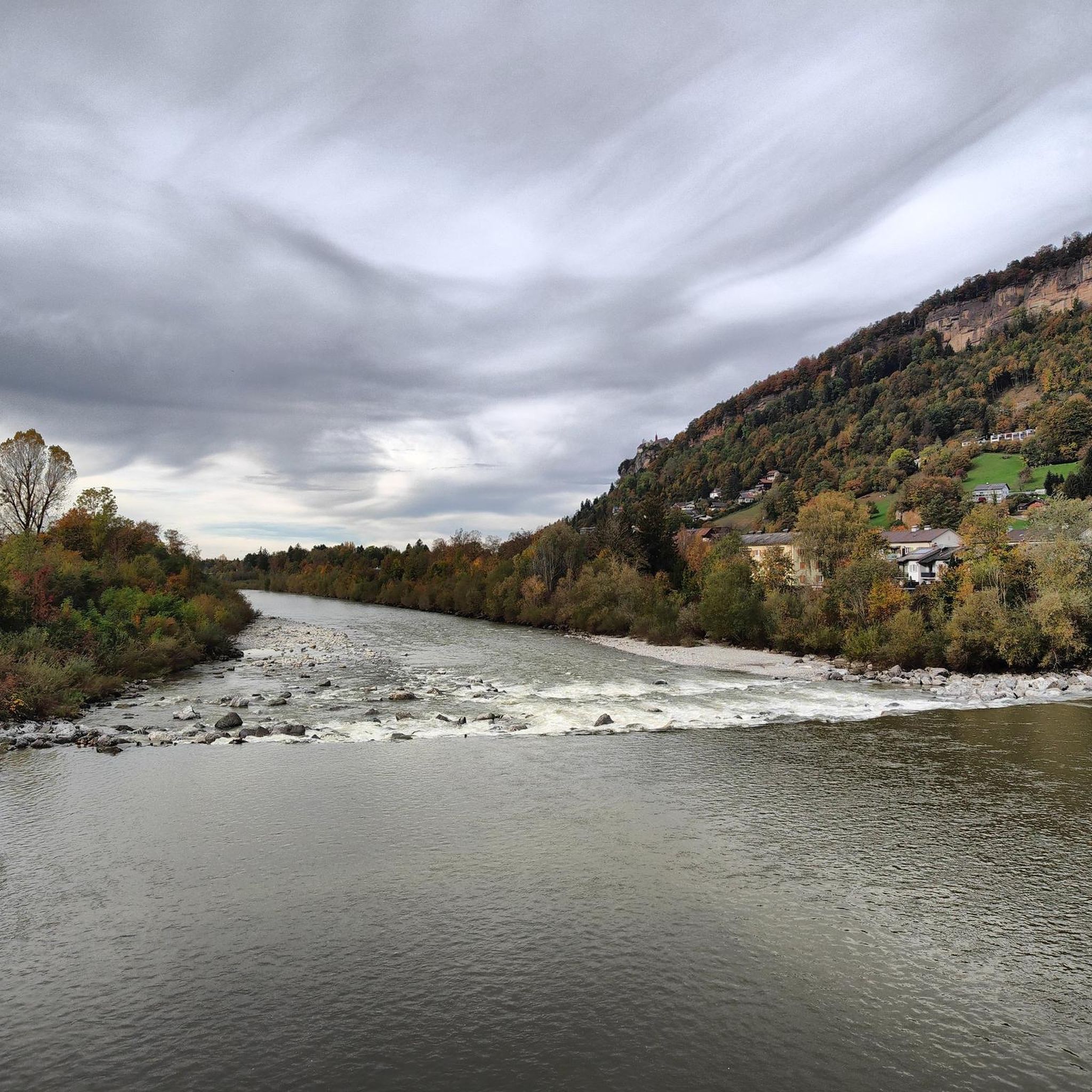
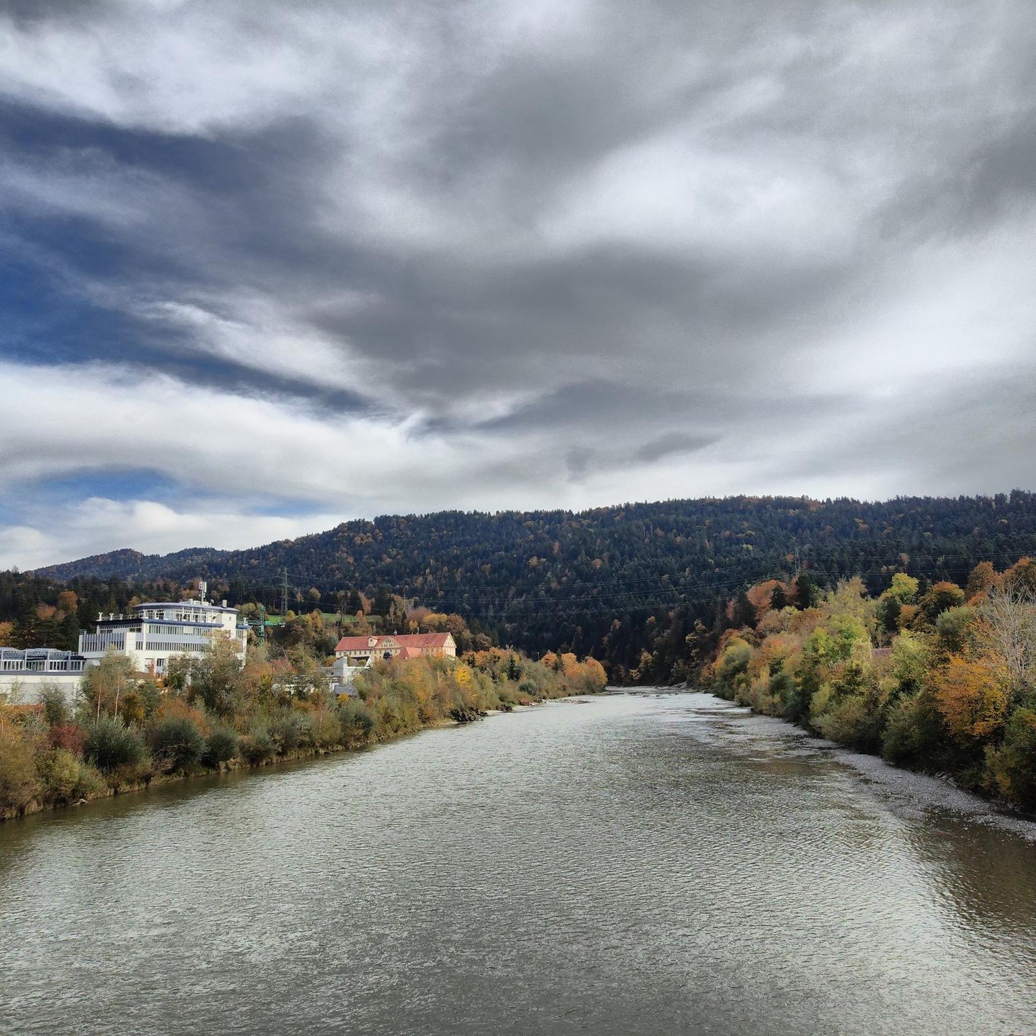
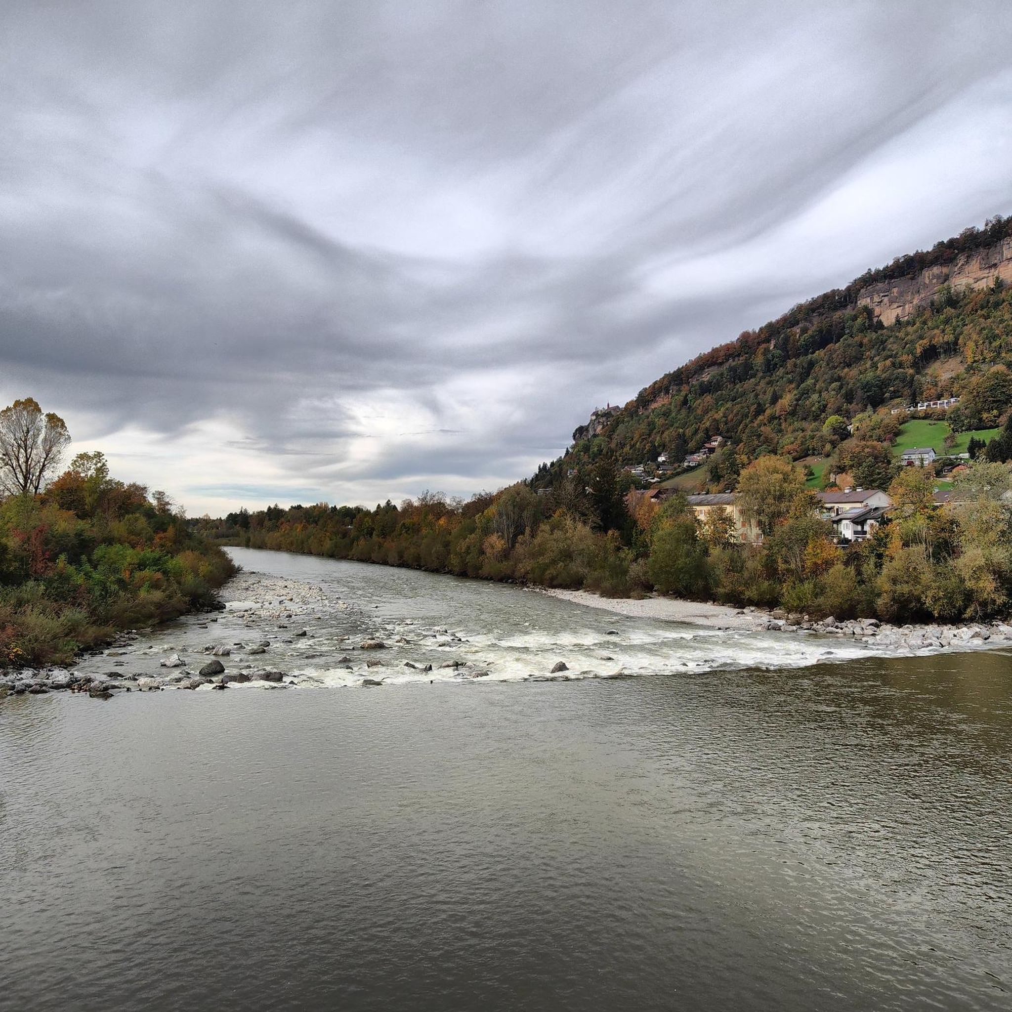
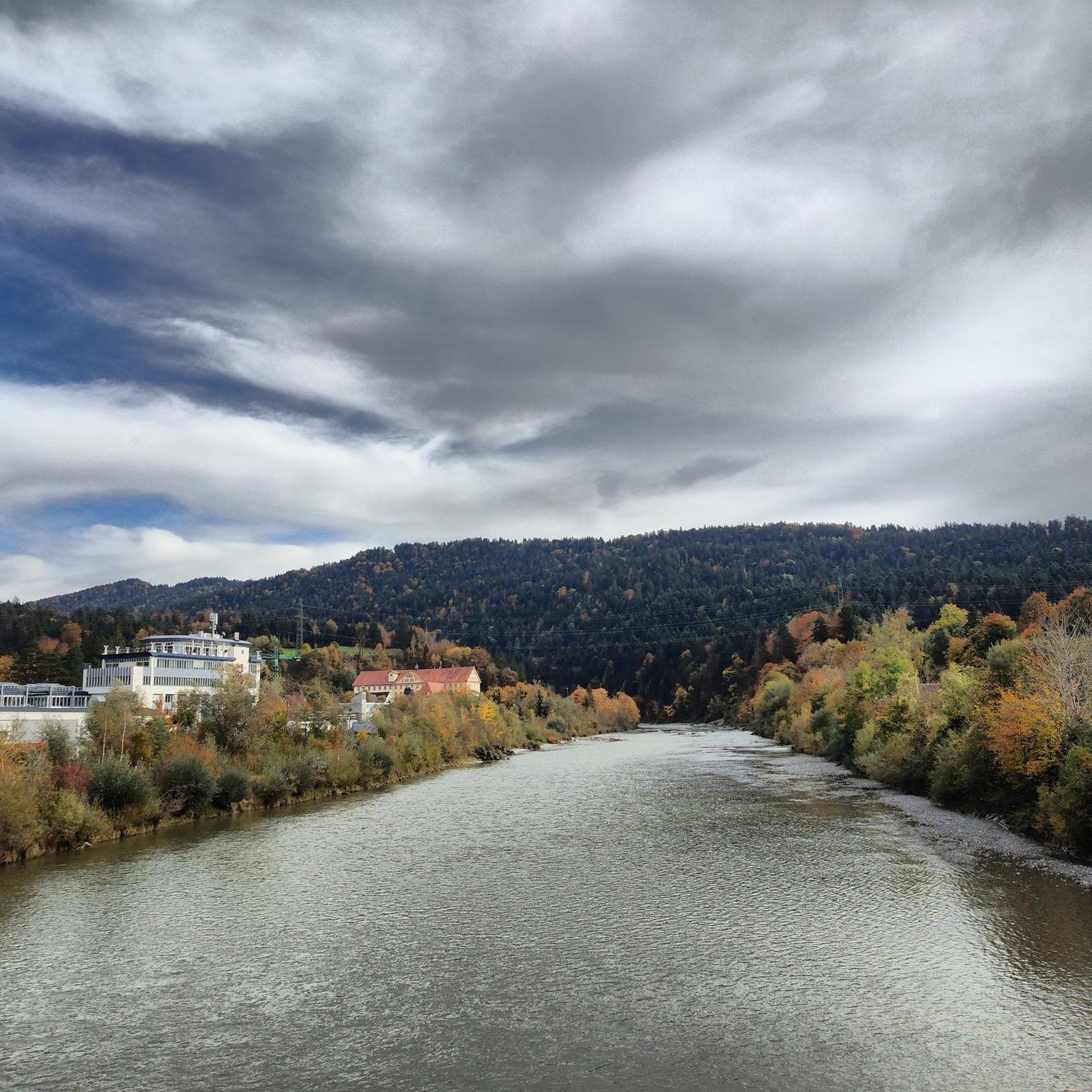
The Dornbirner Ach (also known as Dornbirnerach or Dornbirner Ache), along with the more northerly Bregenzer Ach, is one of the most important outflows for the smaller streams of the western Bregenzerwald Mountains and the lower Rhine Valley in the Austrian state of Vorarlberg. Until the Rhine was regulated, the Dornbirner Ach flowed into Lake Constance near Fußach. Today, the approximately 30-kilometer-long river flows east of and parallel to the Rhine near Hard into Lake Constance, crossing the municipal area of the city of Dornbirn. This large bridge is also accessible by car, and the cycle path and pedestrian path are separated from it.
1
0

Super useful! Just be careful that the water fountain has a very high water pressure...otherwise, very glad to see these around!
0
0

It doesn't really come across in the picture, but the panoramic view is truly breathtaking! The road is very busy.
0
0

Very pleasant cycling on smooth asphalt, slightly elevated with views parallel to the Dornbirner Ache.
1
0
Frequently Asked Questions
What types of terrain can I expect on road cycling routes around Wolfurt?
The region around Wolfurt offers a diverse range of terrain for road cyclists. You can find gentle hills and flat sections, particularly along Lake Constance and the Rhine dam. For more challenging rides, there are numerous mountain passes like the Pfänderpass and Bödele Pass, known for their steep climbs and panoramic views. The Bregenzerwald region also provides extensive opportunities for altitude cycling.
Are there road cycling routes suitable for beginners or those looking for an easier ride?
Yes, Wolfurt offers routes suitable for various skill levels. While many routes feature significant elevation, there are over 70 easy routes available. The paths along Lake Constance and the Rhine dam are generally flatter and ideal for relaxed rides or beginners. These well-developed cycle paths allow for leisurely exploration.
What are some challenging road cycling routes for experienced riders?
Experienced road cyclists will find plenty of challenges around Wolfurt. Routes like the Northern Ascent to Lorenapass – Lorenapass loop from Schwarzach in Vorarlberg offer substantial climbing over nearly 100 kilometers. The Pfänderpass and Bödele Pass are also popular choices for their steep gradients and rewarding views, providing excellent training opportunities.
What scenic viewpoints or landmarks can I see while road cycling near Wolfurt?
Road cycling around Wolfurt offers many scenic highlights. You can enjoy brilliant views of Lake Constance from various points, especially from the Pfänder Summit. The Cycle bridge over the Bregenzer Ach provides impressive views of the river's confluence with the lake. Routes often pass through picturesque areas of the Bregenzerwald, offering stunning natural scenery.
How long are the road cycling routes around Wolfurt typically?
The road cycling routes around Wolfurt vary significantly in length. You can find shorter loops, such as the Lorenapass – Northern Ascent to Lorenapass loop from Wolfurt, which is about 36 kilometers. Longer routes, like the View of the Allgäu from Buch – Lingenau High Bridge loop from Schwarzach in Vorarlberg, can extend over 60 kilometers, while others reach nearly 100 kilometers, catering to rides of varying durations.
Are there circular road cycling routes available in the Wolfurt area?
Yes, many of the road cycling routes around Wolfurt are designed as loops, allowing you to start and end in the same location. Examples include the Lorenapass – Northern Ascent to Lorenapass loop from Wolfurt and the Dornbirner Ache – New Rhine bridge near Fussach loop from Wolfurt, providing convenient circular tours.
What is the best time of year for road cycling in Wolfurt?
Spring and summer are particularly recommended for road cycling in Wolfurt. During these seasons, the weather is mild, and the natural surroundings are in full bloom, enhancing the scenic beauty of the routes. While specific winter routes are not highlighted, the region's diverse terrain is best enjoyed outside of colder months.
What do other road cyclists say about the routes in Wolfurt?
The road cycling routes in Wolfurt are highly regarded by the komoot community, with an average rating of 4.5 stars from over 1200 reviews. Cyclists often praise the varied terrain, from the scenic lakeside paths to the challenging mountain passes, and the stunning views over Lake Constance and the surrounding mountains.
Are there any family-friendly road cycling options around Wolfurt?
While many routes involve significant elevation, the well-developed cycle paths along Lake Constance and the Rhine dam offer flatter, more relaxed options that can be suitable for families. These routes provide a gentler introduction to road cycling in a scenic environment.
Are there options for parking or public transport access to road cycling routes in Wolfurt?
Wolfurt and its surrounding areas are generally well-equipped for visitors. While specific parking locations for each trailhead are not detailed, the region's popularity for outdoor activities suggests accessible parking in towns and near popular starting points. For public transport, the broader Lake Constance region is well-connected, offering options to reach various starting points for your rides.
Can I find routes that combine road cycling with other attractions?
Absolutely. Many road cycling routes in Wolfurt pass by or offer easy access to other attractions. For instance, you can cycle near the Bregenz lakeside promenade or incorporate a visit to the Pfänder Summit, which is accessible by cable car and offers brilliant views. The BSB Harbor Lindau is also a vibrant area to explore near some routes.
Most popular routes around Wolfurt
Most popular attractions around Wolfurt

Get inspired with the komoot mobile app


Explore more
Browse the best Road cycling routes in other regions.
