Upper Teviotdale And Borthwick Water
Upper Teviotdale And Borthwick Water
Top 7 Natural Monuments around Upper Teviotdale And Borthwick Water
Best natural monuments around Upper Teviotdale And Borthwick Water are found within a scenic area of the Scottish Borders. This region features a landscape with notable natural features and biodiversity. The area offers geological formations, prominent hills, and sites of ecological value. These natural monuments provide opportunities for exploring the region's varied terrain and historical significance.
Best natural monuments around Upper Teviotdale And Borthwick Water
- The most popular natural monuments is Rubers Law Summit and Trig Point, a viewpoint…
Last updated: July 14, 2026
Rubers Law Summit and Trig Point
Highlight • Viewpoint
The black toposcope placed on top of …
Tip by

Bonchester Hill Cairn
Highlight • Historical Site
Stunning views of the area from …
Tip by
Sign up now to discover places like this
Get recommendations on the best single tracks, peaks, & plenty of other exciting outdoor places.
Sign up for free
Hog Fell Trig Point
Highlight • Natural Monument
Tip by
High Seat Summit
Highlight • Natural Monument
Tip by
Skelfhill Pen Summit
Highlight • Viewpoint
Tip by
Sign up for free to discover even more natural monuments around Upper Teviotdale And Borthwick Water.
Sign up for free
Already have an account?
Start today with a free account
Your next adventure awaits.
Login or Signup
Popular around Upper Teviotdale And Borthwick Water
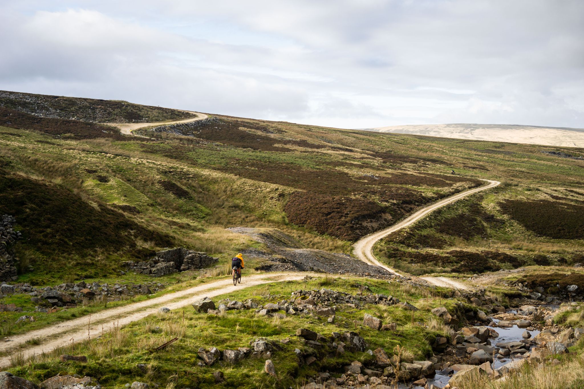
Second City Divide — Rough Stuff Of The North
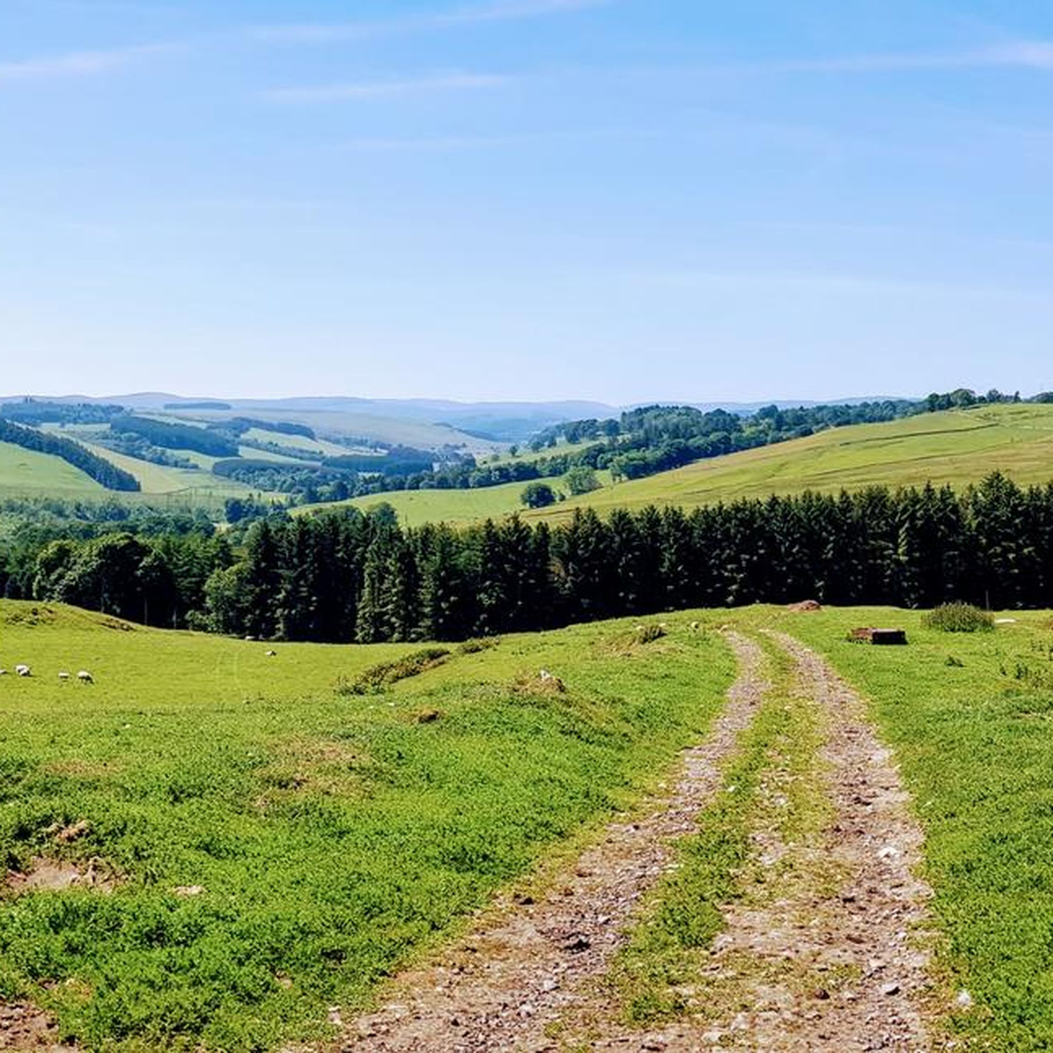
Hiking around Upper Teviotdale And Borthwick Water
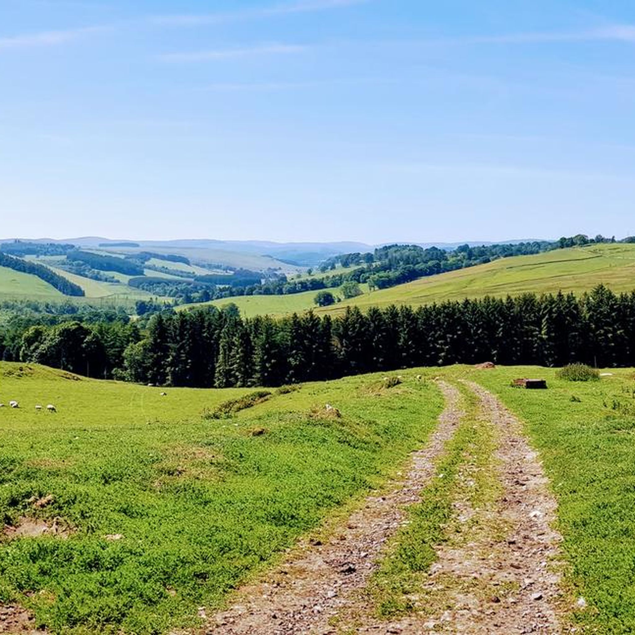
Cycling around Upper Teviotdale And Borthwick Water
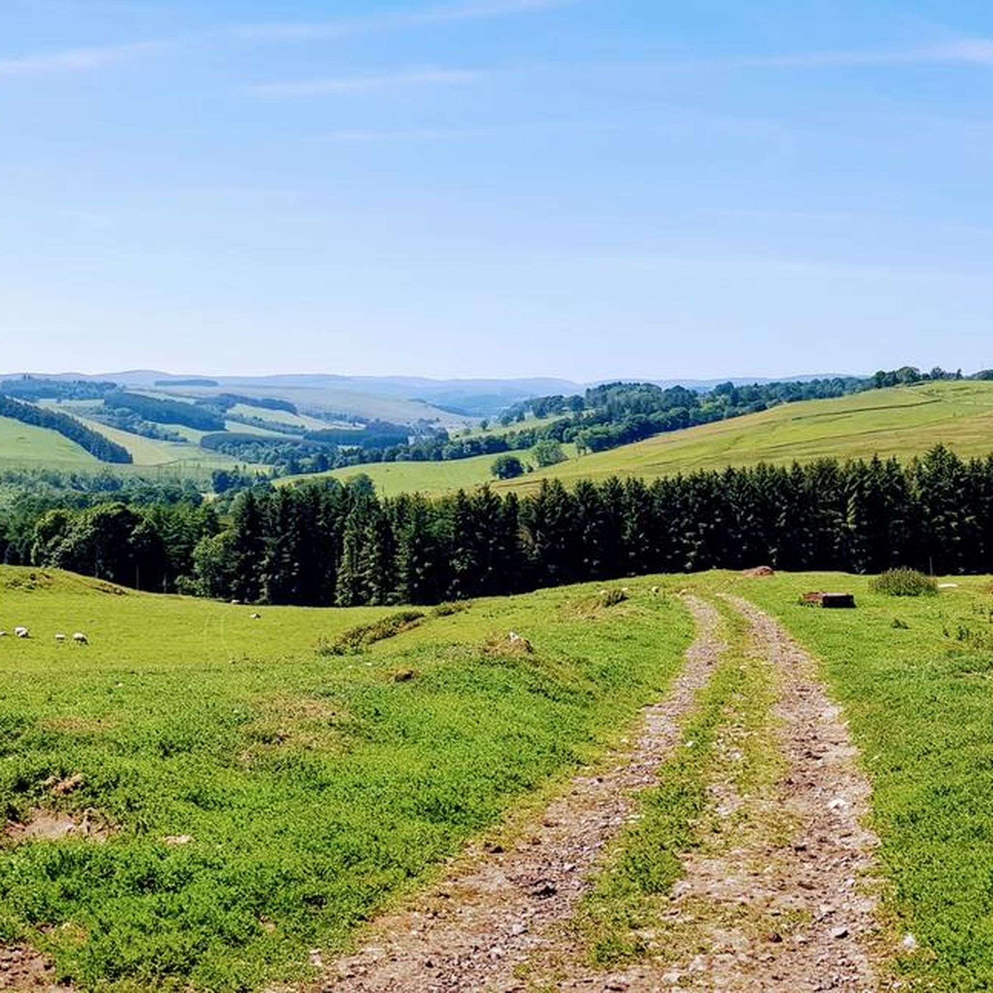
MTB Trails around Upper Teviotdale And Borthwick Water
Road Cycling Routes around Upper Teviotdale And Borthwick Water
Running Trails around Upper Teviotdale And Borthwick Water

Gravel biking around Upper Teviotdale And Borthwick Water
Other adventures around Upper Teviotdale And Borthwick Water

Tips from the Community

The climb itself is breathtaking and largely pathless.
1
0


This hill (323m), with a cairn, overlooks the village of Bonchester Bridge; it is also the site of a fort, so of archeological interest. Stunning views of the area from up here: you will see the summits of Rubers Law and Black Law, but I am sure the Eildon Hills will draw your keen eyes first!
1
0
A superb summit (532m) with both a trig point and a cairn cuddling up to each other. Un-be-lie-va-ble views! - including of the summits of Greatmoor Hill, Grey Pen and Skelfhill Fell.
2
0
Remote, grassy, wild, a loch in the distance and hilly moorland everywhere. In other words: paradise. High Seat is at 347m. The loch is Broadlee Loch, and in the right light its waters are of that lovely blue hues that only Scottish lochs seem to be able to take. Close to the summit, there is a marker stone, but it is not clear what its original purpose was.
1
0
Hog Fell has spell-binding views of the area, a great trig point to lean against, too! Spot Roan Fell in the distance (north-east), and closer by, there is Auldshiels Hill to the north. A beautiful, if windy!, place.
1
0
This lovely hill (424m), south of Denholm, has a hill fort and was a Roman signal station. Fantastic, far-reaching views in all directions. The black toposcope placed on top of the triangulation pillar here identifies many of the hills / landmarks visible from up here.
1
0
Frequently Asked Questions
What unique natural features can I explore around Upper Teviotdale and Borthwick Water?
The region offers a diverse range of natural features. You can explore prominent geological formations like Rubers Law Summit and Trig Point, which is a remnant of an ancient volcano. Additionally, Alemoor Loch is a significant natural attraction, designated as a Site of Special Scientific Interest (SSSI) for its unique flood-plain fen habitat and diverse birdlife.
What makes Rubers Law a significant natural monument?
Rubers Law Summit and Trig Point is a prominent, conical hill that is a geological remnant of a volcano from the Carboniferous Period. Rising to 424 meters, its summit offers wide, panoramic views across the Scottish Borders. It also holds historical significance with archaeological remains of an Iron Age hillfort and a Roman signal station.
What kind of wildlife can be observed at Alemoor Loch?
Alemoor Loch is a regionally important area for various wildfowl and waders. It serves as a roosting, feeding, and nesting ground, and a stop-over for migratory birds. You might spot species such as mallard, teal, widgeon, tufted duck, whooper swan, oystercatcher, curlew, and lapwing. The loch's SSSI status highlights its importance for rare plant species as well.
Are there any natural monuments with historical significance in the area?
Yes, several natural monuments have historical ties. Rubers Law Summit and Trig Point features an Iron Age hillfort and a Roman signal station. Bonchester Hill Cairn is another historical site, overlooking Bonchester Bridge and being the site of a fort, offering archaeological interest alongside its views.
What outdoor activities can I do near these natural monuments?
The area around Upper Teviotdale and Borthwick Water is excellent for outdoor activities. You can find numerous hiking and cycling opportunities. For example, there are easy hikes like the Borders Abbeys Way: Hawick Loop, or more challenging routes such as the Romans and Reivers Route: Girnwood Loch Loop. Cycling enthusiasts can explore routes like the Robertson Cycle Route.
Are there hiking trails to reach the summits and viewpoints?
Absolutely. Many natural monuments in the region are accessible via hiking trails. For instance, reaching Rubers Law Summit and Trig Point involves challenging routes that reward with breathtaking vistas. Similarly, the climb to Bonchester Hill Cairn offers stunning views, though it can be largely pathless in parts. You can find various hiking options in the Hiking around Upper Teviotdale And Borthwick Water guide.
What are some of the best viewpoints among the natural monuments?
The region is rich in elevated vantage points. Rubers Law Summit and Trig Point offers panoramic views in all directions. Bonchester Hill Cairn provides stunning views of Rubers Law and the Eildon Hills. Additionally, Hog Fell Trig Point and Skelfhill Pen Summit are known for their spell-binding and unbelievable views of the surrounding moorland and distant hills.
When is the best time to visit the natural monuments in Upper Teviotdale and Borthwick Water?
The best time to visit largely depends on your preferred activity. Spring and summer (April to September) offer milder weather, longer daylight hours, and vibrant flora, making them ideal for hiking and wildlife observation. Autumn provides beautiful colours, especially in the surrounding landscapes. While winter can be challenging with colder temperatures and potential snow, it offers a unique, tranquil experience for well-prepared visitors.
Are there family-friendly natural monuments or activities in the area?
Yes, the natural beauty of the region offers several family-friendly options. Gentle walks around areas like Alemoor Loch can be enjoyable for families, offering opportunities for birdwatching and enjoying scenic views. For easier walks, you can explore routes listed in the Easy hikes around Upper Teviotdale And Borthwick Water guide, such as the Wilton Lodge Park loop from Hawick.
What should I wear for a walk to these natural monuments?
Given the varied terrain and often unpredictable Scottish weather, it's advisable to wear layers. Sturdy, waterproof hiking boots are essential, especially for routes that can be muddy or pathless. A waterproof and windproof jacket is highly recommended, even in summer. Depending on the season, consider a hat, gloves, and sun protection. Always check the local weather forecast before heading out.
Are the natural monuments in Upper Teviotdale and Borthwick Water dog-friendly?
Many of the natural monuments and trails in the region are dog-friendly, but it's crucial to keep dogs under control, especially in areas with livestock or ground-nesting birds. Always follow the Scottish Outdoor Access Code, which advises keeping dogs on a lead or close at heel around farm animals. Be mindful of any specific signage at individual sites.
What do visitors enjoy most about the natural monuments in this area?
Visitors frequently praise the stunning, far-reaching views from summits like Rubers Law Summit and Trig Point and Skelfhill Pen Summit. The sense of wildness and remoteness, particularly around places like High Seat Summit, is also highly valued. The blend of geological interest, historical significance, and opportunities for wildlife observation at sites like Alemoor Loch also contributes to a rich and rewarding experience.
Most popular routes around Upper Teviotdale And Borthwick Water
Most popular attractions around Upper Teviotdale And Borthwick Water

Get inspired with the komoot mobile app


Explore more
Extend your search for the best caves by checking out these guides of the top ones around Upper Teviotdale And Borthwick Water:
