Upper Teviotdale And Borthwick Water
Upper Teviotdale And Borthwick Water
The best MTB trails around Upper Teviotdale And Borthwick Water
4.0
(6)
36
riders
20
rides
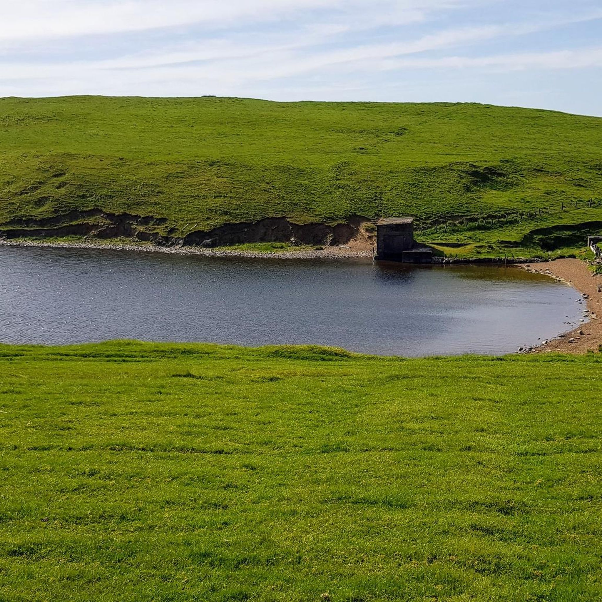
Mountain biking around Upper Teviotdale And Borthwick Water offers a network of trails through varied terrain. The region is characterized by river valleys, rolling hills, and areas of forest, providing diverse conditions for mountain bikers. Trails often follow watercourses like the Borthwick Water and ascend into the surrounding uplands. This landscape supports routes ranging from gentle paths to more challenging climbs and descents.
Best mountain bike trails around Upper Teviotdale And Borthwick Water
- The most popular mountain bike trail is…
Last updated: July 9, 2026
3.0
(1)
9
riders
37.8km
03:07
570m
570m
Moderate mountain bike ride. Good fitness required. Suitable for all skill levels.
80.4km
06:54
1,700m
1,700m
Hard mountain bike ride. Very good fitness required. Advanced riding skills necessary.

Sign up for free
115km
09:59
2,240m
2,240m
This difficult 71.5-mile mountain biking loop from Hawick through Eskdalemuir Forest and Tarras Valley Nature Reserve offers challenging cli
18.8km
01:17
220m
220m
This easy 11.7-mile mountain biking loop near Hawick offers a quick ride past the Stobs War Memorial and Stobs Camp Ruins.
18.8km
01:25
290m
290m
Moderate mountain bike ride. Great for any fitness level. Advanced riding skills necessary.
Get access to more routes and recommendations from other explorers.
Sign up for free
Already have an account?
Our route recommendations are based on thousands of hikes, rides, and runs completed by other people on komoot.
Start today with a free account
Your next adventure awaits.
Login or Signup
Popular around Upper Teviotdale And Borthwick Water
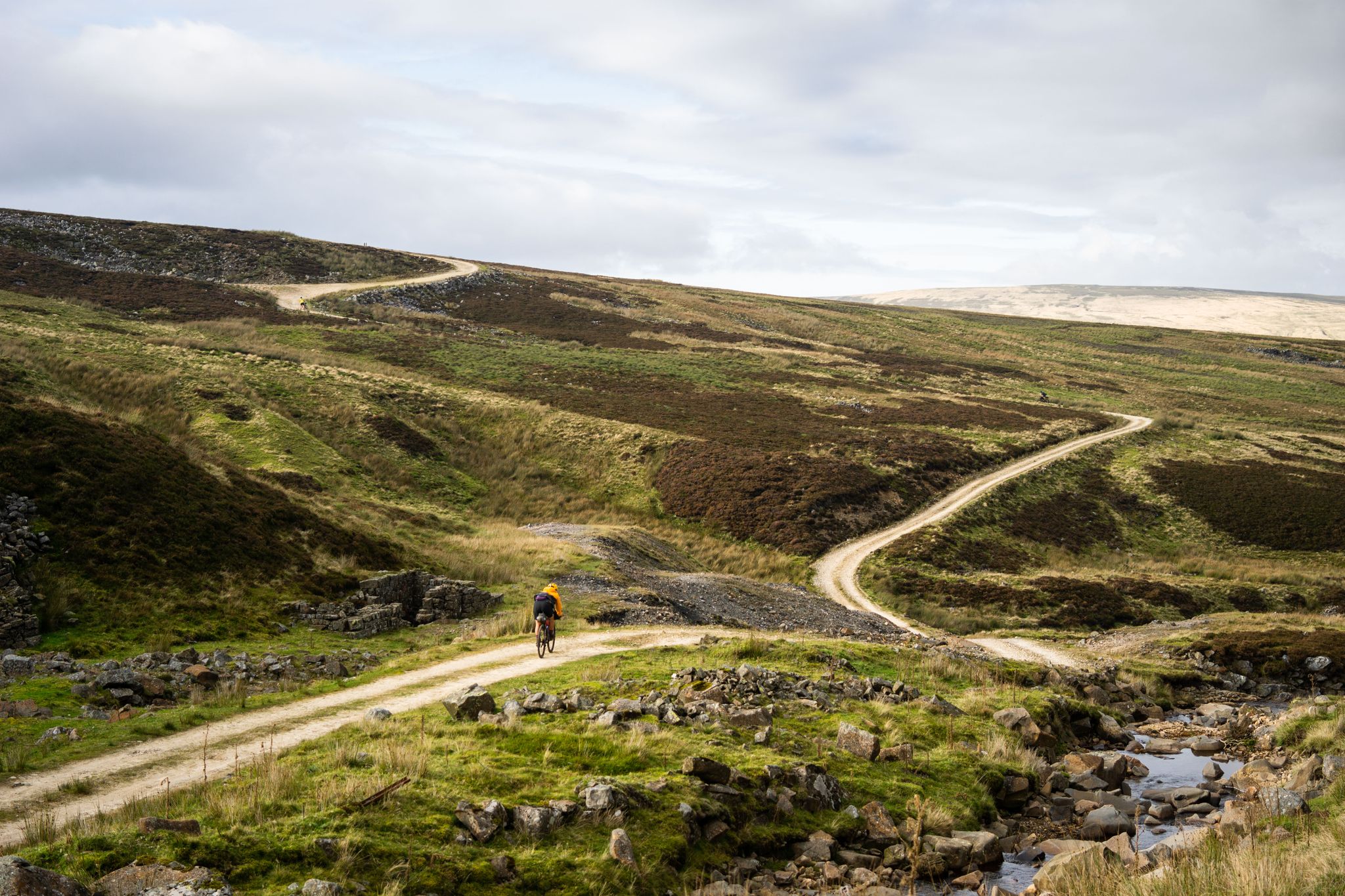
Second City Divide — Rough Stuff Of The North
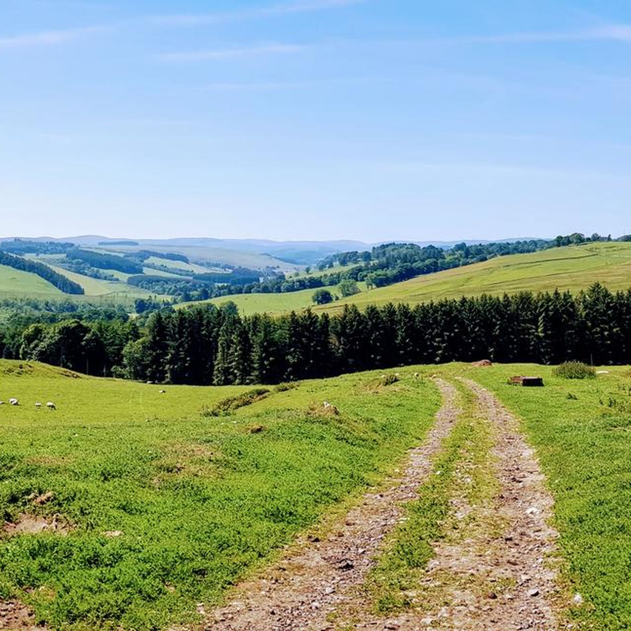
Hiking around Upper Teviotdale And Borthwick Water
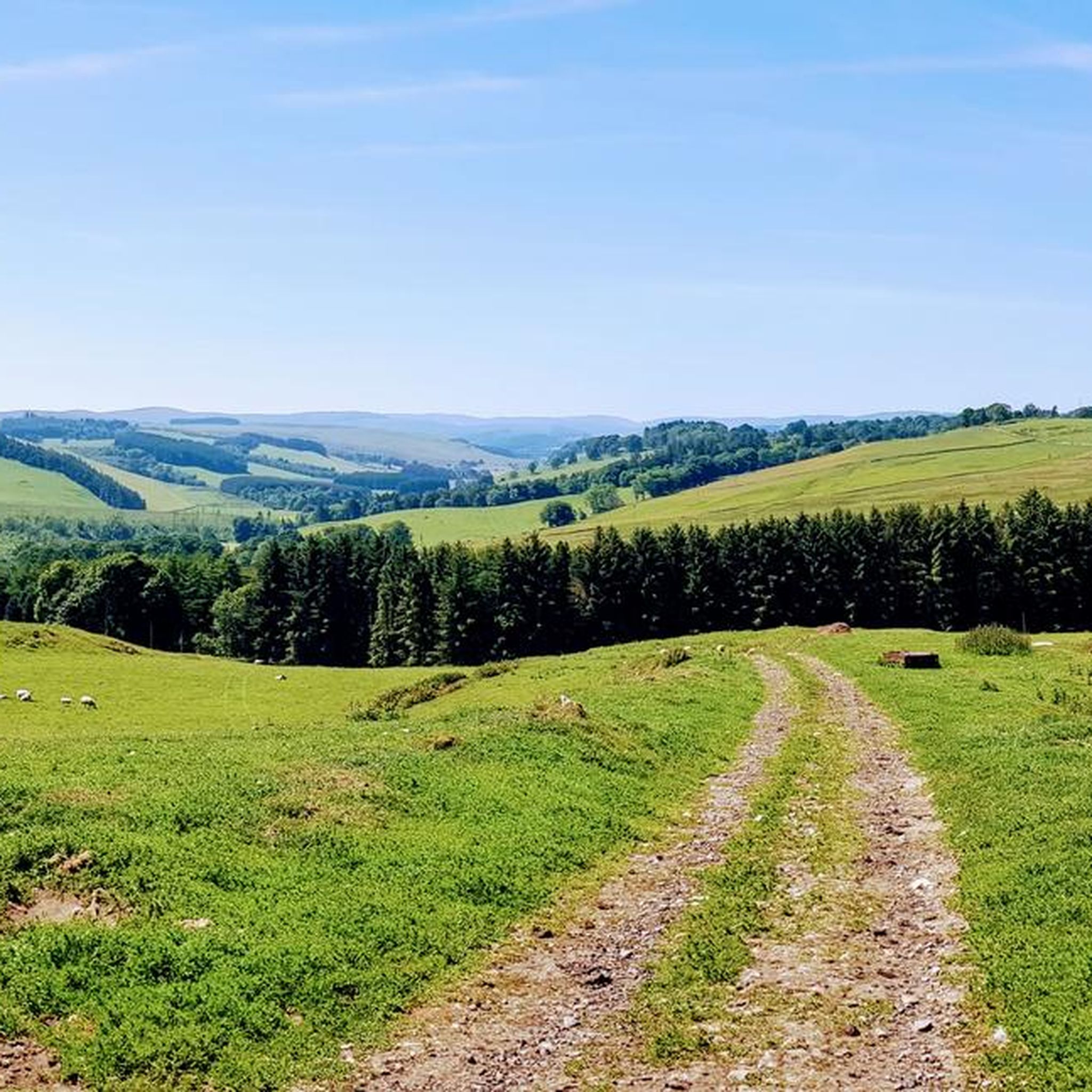
Cycling around Upper Teviotdale And Borthwick Water
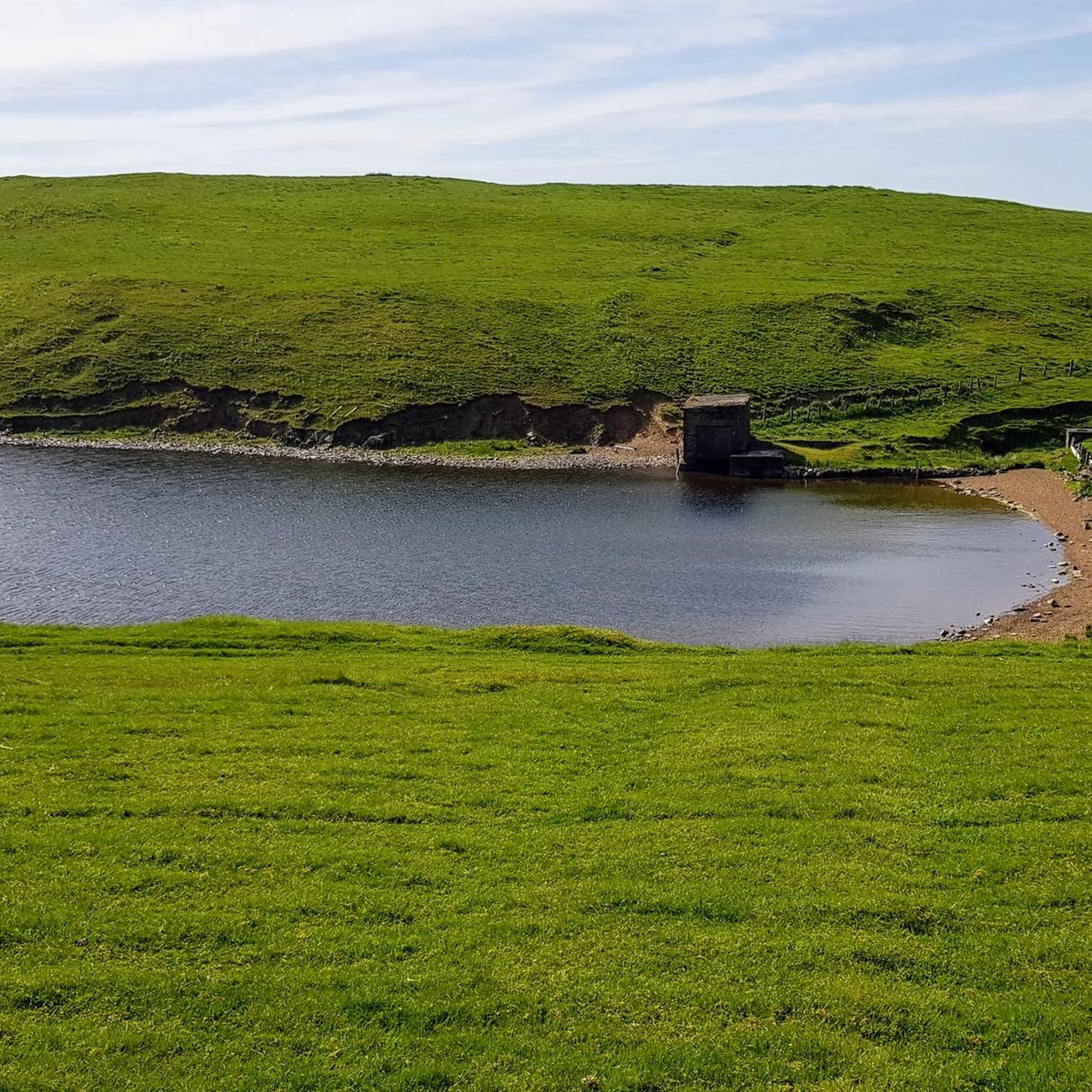
Road Cycling Routes around Upper Teviotdale And Borthwick Water
Running Trails around Upper Teviotdale And Borthwick Water

Gravel biking around Upper Teviotdale And Borthwick Water
Other adventures around Upper Teviotdale And Borthwick Water

Tips from the Community

This excursion from the Southern Upland Way and the Cross Borders Drove Road is well worth the effort. On a clear day, you can see the hills surrounding the Tweed and Yarrow valleys. It's a special feeling, standing in a place where travelers, shepherds, and (Roman) armies passed through centuries ago.
0
0

The southern half of the cut through has been felled and is impassable by bike. We struggled around the top and down the east side on foot.
0
0

From this viewpoint near Minch Moor summit, you are afforded wonderful panoramic views of the surrounding landscape. On a clear day, you can see the rolling hills and valleys of the Scottish Borders region, with the Tweed Valley stretching out before you. You may also spot towns and villages such as Peebles and Innerleithen nestled among the greenery.
1
0

Small WW1 and WW2 war memorial nestled amongst the pig farms! A quiet spot to stop and take a break.
0
0
Trig point with good views of Drinkstone hill and out over the Tweed Valley. On a clear day you can see over the border to the Northumberland National Park.
0
0
Wide grassy paths typify Drinkstone Hills. It looks easy in the pictures but it can be tough going. It's worth it for the view back to Hawick though.
0
0

This large 15-arch viaduct used to be a part of a railway line between Carlisle and Edinburgh. The line was opened in 1862 and closed in 1969. Today, it's a powerful slight to behold.
1
0
There's a trig point at the 1,043 feet (318 m) high Drinkstone Hill. This is a grass and pasture hilltop, but do not let that stop you getting here: there are gorgeous views from here across Longmoss Knowe to the distant hills on the horizon. In good sunlight and/or at sunset, the area is breathtaking.
1
0
Frequently Asked Questions
How many mountain bike trails are available in Upper Teviotdale And Borthwick Water?
There are over 20 mountain bike trails recorded in Upper Teviotdale And Borthwick Water on komoot, offering a variety of experiences through river valleys, rolling hills, and forest sections.
What are the difficulty levels of mountain bike trails in Upper Teviotdale And Borthwick Water?
The trails in this region cater to various skill levels. You'll find 2 easy routes, 18 moderate routes, and 3 difficult routes. For an easy ride, consider the Vertish Hill Loop. A challenging option is the Eskdalemuir Forest loop from Hawick.
Are there family-friendly mountain bike trails in Upper Teviotdale And Borthwick Water?
Yes, there are easy mountain bike trails suitable for families. These routes typically feature gentler gradients and less technical terrain, allowing for a more relaxed ride. The Vertish Hill Loop is a good example of an easier route.
When is the best time of year to go mountain biking in Upper Teviotdale And Borthwick Water?
The best time for mountain biking in Upper Teviotdale And Borthwick Water is generally from spring through autumn (April to October) when the weather is milder and trails are drier. While winter riding is possible, be prepared for colder temperatures, potentially muddy conditions, and shorter daylight hours.
Are there circular mountain bike routes available in the region?
Yes, many of the mountain bike trails in Upper Teviotdale And Borthwick Water are circular, allowing you to start and finish at the same point. Examples include the Shankend Viaduct loop from Hawick and the Drinkstone Hill loop from Hawick.
What can I see along the mountain bike trails in Upper Teviotdale And Borthwick Water?
The region offers diverse scenery, including river valleys, rolling hills, and forests. You can also encounter natural monuments and viewpoints. Notable highlights include Rubers Law Summit and Trig Point, Bonchester Hill Cairn, and Hog Fell Trig Point.
What are the typical trail conditions like in Upper Teviotdale And Borthwick Water?
Trails often follow watercourses and ascend into uplands, meaning you can expect a mix of surfaces. Conditions can vary from firm paths in dry weather to muddy sections after rain, especially in forested areas or lower-lying river valleys. Always check local weather forecasts before heading out.
Is parking available near mountain bike trails in Upper Teviotdale And Borthwick Water?
While specific parking information varies by trail, many routes in the region start from towns like Hawick or rural access points where parking is typically available. It's advisable to check the individual route details on komoot for specific parking recommendations.
Can I access mountain bike trails in Upper Teviotdale And Borthwick Water using public transport?
Access to some trailheads, particularly those starting from larger towns like Hawick, may be possible via local bus services. However, public transport options can be limited in more remote parts of Upper Teviotdale and Borthwick Water, so planning ahead is recommended.
Are there places to eat or drink near the mountain bike trails?
Towns and villages within or near Upper Teviotdale And Borthwick Water, such as Hawick, offer various cafes, pubs, and shops where you can refuel before or after your ride. Some routes might pass through or near these settlements, providing convenient stops.
What do other mountain bikers enjoy the most about mountain biking in Upper Teviotdale And Borthwick Water?
The area is highly rated by the komoot community, with an average score of 4.0 stars from over 5 reviews. Mountain bikers often praise the varied terrain, which includes river valleys, forest sections, and open hill climbs, offering a diverse and engaging riding experience.
Most popular routes around Upper Teviotdale And Borthwick Water
Most popular attractions around Upper Teviotdale And Borthwick Water

Get inspired with the komoot mobile app


Explore more
Browse the best MTB trails in other regions.
