Top 12 Natural Monuments around San Vicente Del Valle
Best natural monuments around San Vicente Del Valle are found in this municipality in Burgos, Castile and León, Spain, situated in the Tirón River valley. The area is bordered by the Montes de Ayago to the south and the Sierra de la Demanda to the north. This strategic location offers diverse natural landscapes, including mountainous terrain and river valleys. The broader Sierra de la Demanda region provides numerous opportunities for exploring natural features.
Best natural monuments around San Vicente Del…
Last updated: July 1, 2026
Arboleda del Sur – Horse Chestnut Trees of Ezcaray
Highlight • Natural Monument
Translated by Google •
Tip by

El Hombre summit (Sierra de la Demanda)
Highlight • Summit
Translated by Google •
Tip by

Sign up now to discover places like this
Get recommendations on the best single tracks, peaks, & plenty of other exciting outdoor places.
Sign up for free
Cruz De Guirnaldo
Highlight • Summit
Translated by Google •
Tip by

Zarcia Recreation Area
Highlight • Rest Area
Translated by Google •
Tip by

Altuzarra Waterfalls
Highlight • Waterfall
Translated by Google •
Tip by
Sign up for free to discover even more natural monuments around San Vicente Del Valle.
Sign up for free
Already have an account?
Start today with a free account
Your next adventure awaits.
Login or Signup
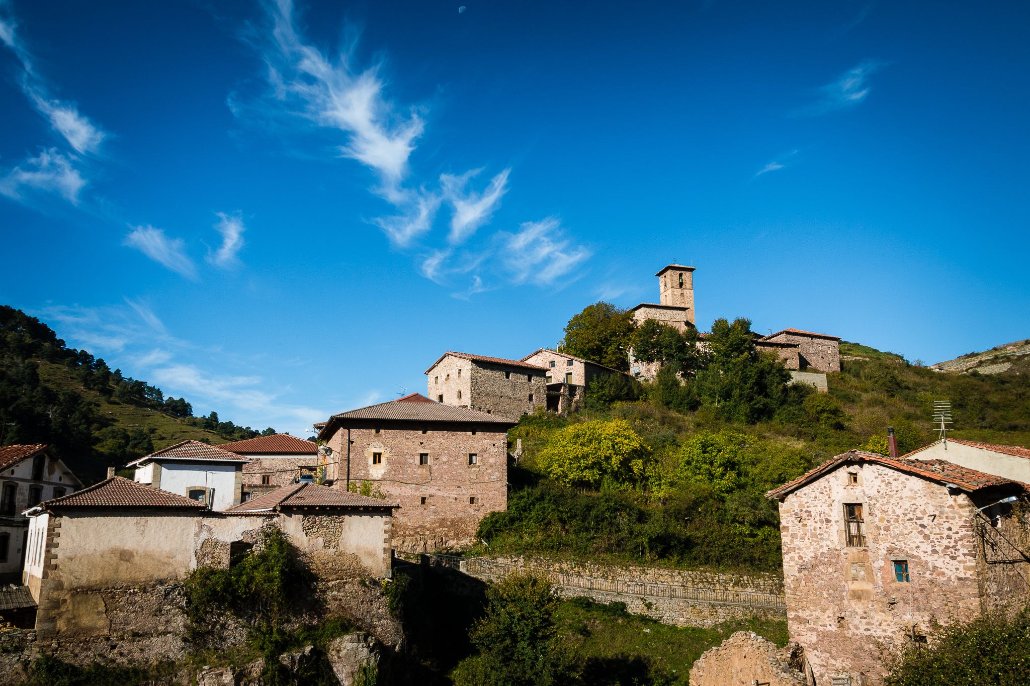
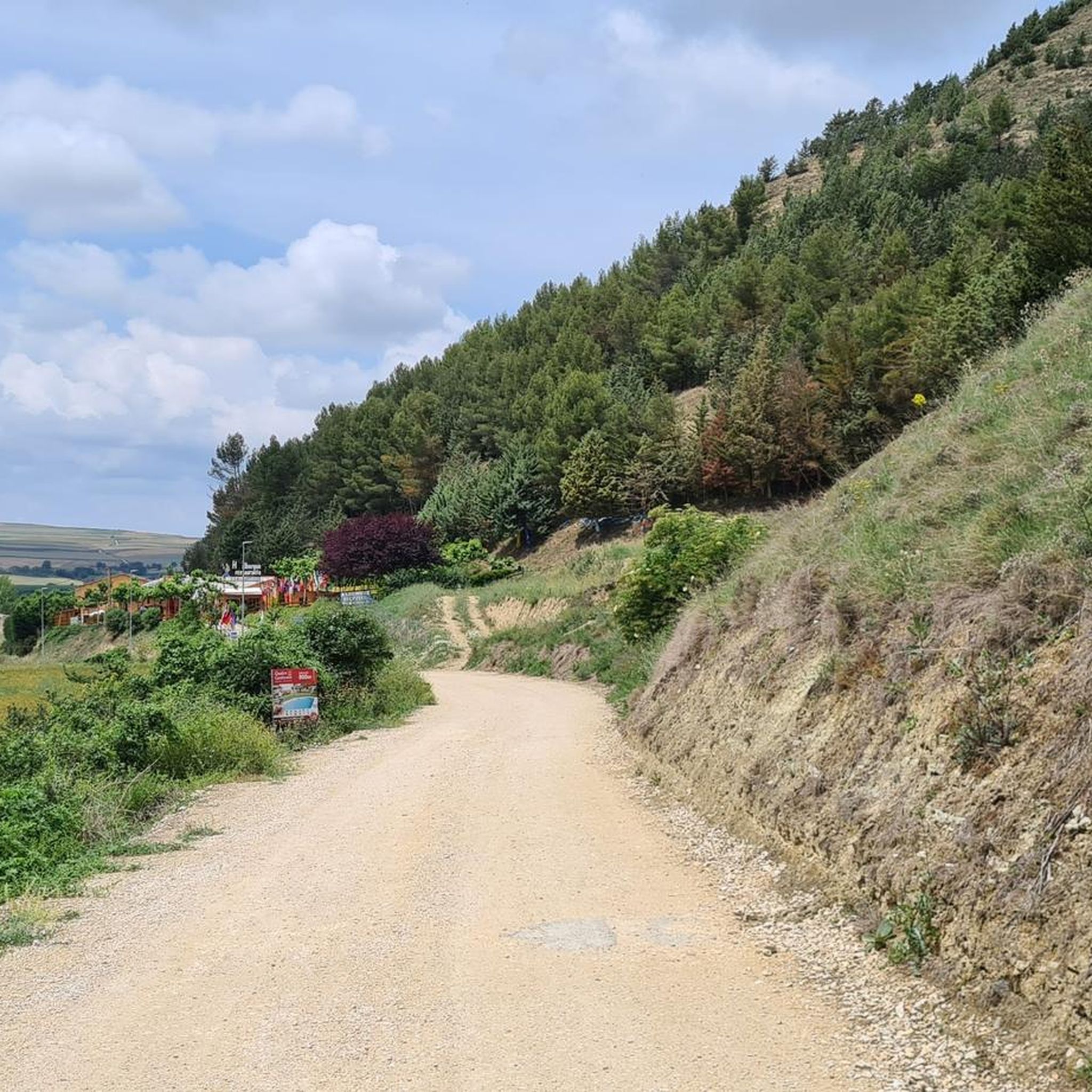
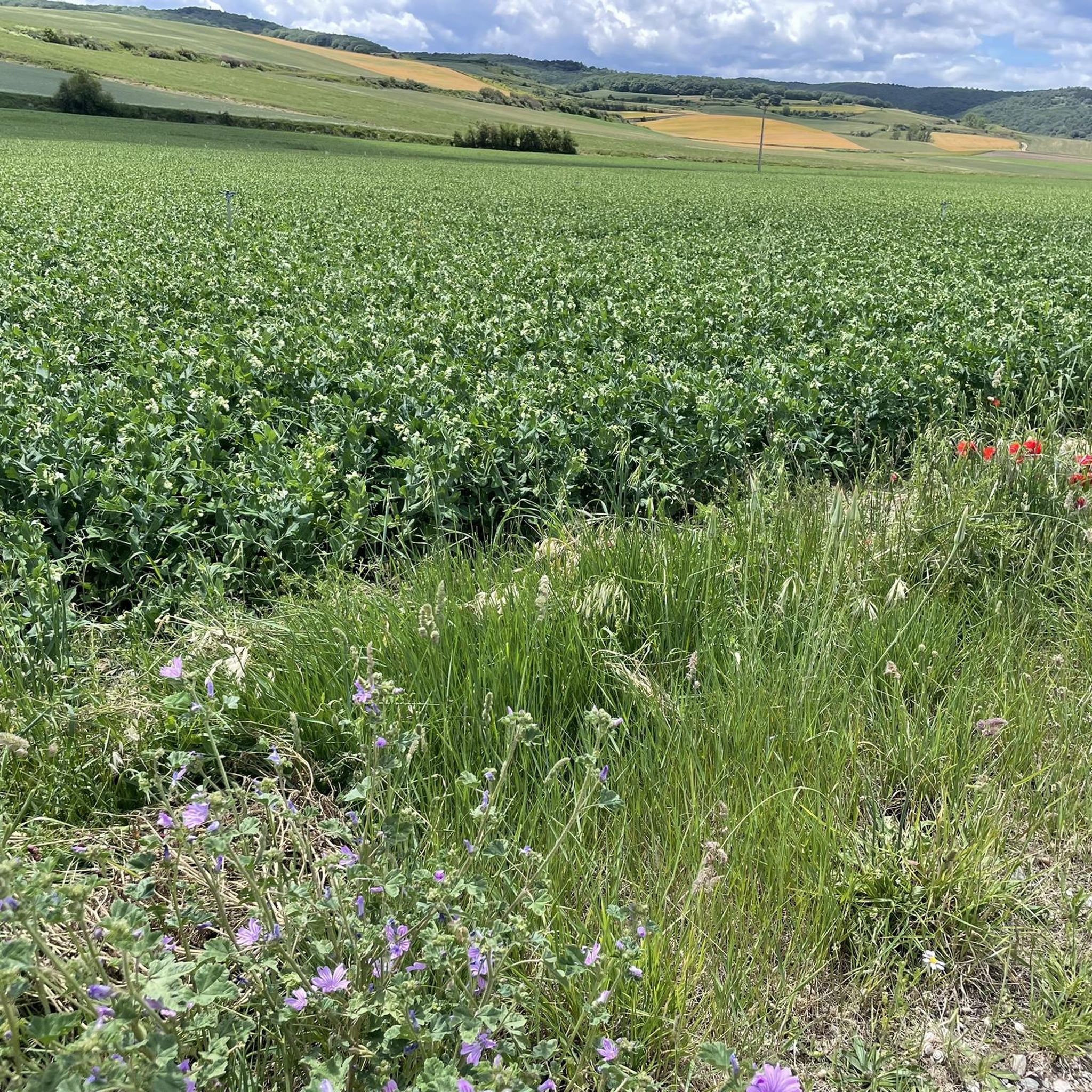
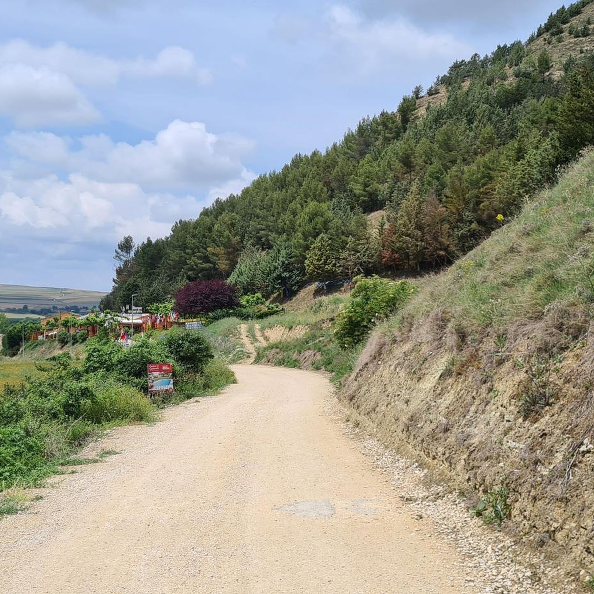
Other adventures around San Vicente Del Valle

Tips from the Community

Nice area for hiking and mountain biking trails in La Demanda
0
0

The path enters the beech forest, goes down to the Altuzarra stream and the natural wonders begin. The trail is marked with green and white paint marks on the trunks of the trees, but they are placed to take the route in the opposite direction, they appear after passing the tree that has the sign. On the bank of the torrent there is a path that crosses the riverbed towards the Mirador de Domingo Sevilla, which is the shortcut that we indicated on the way up to San Millán along the Urbión River. The waterfall path goes down the bank of the stream and immediately reaches the upper edge of the first waterfall, known as Salto Alto or Cascada Grande. The balcony is beautiful because of the energy of the waterfall as it falls and the surrounding beech forest. The path goes down some stone ledges to the left of the waterfall. Below the views are impressive, the water jumps over the walls of rocks and mosses creating a beautiful river scene in a suggestive forest environment. The path continues along the bank of the stream and goes down to the base of Salto Medio, another jewel of the Altuzarra stream, and shortly after it passes through Salto Chico, which closes the magnificent trio of waterfalls. The natural steps of the ravine where the waterfalls are formed are quite steep and it is easy to slip on the leaf litter, the floating roots of the beech trees and the sludge caused by humidity, adding intimacy and mystery to the spell of the forest. The path passes through a couple of narrow bends in the stream that require you to jump over the channel several times and exits on the left of the ravine towards a repopulated pine forest.
0
0
The Zarcia Recreational Zone is 2.8 kilometers from Santa Cruz del Valle Urbión along a dirt track suitable for cars, there are some potholes but with care they do not present problems. At the entrance to the picnic areas there is room for three or four cars and 150 meters before arriving there is space for many more. The route begins along the main path of the Urbión River valley, passes through a detour and after one kilometer the Altuzarra waterfalls path appears on the right, which is the return route. The path does not present orientation complications, it follows the course of the water to the head of the valley. In several sections you have to cross the riverbed or walk along the small islands that the torrent forms when there is a lot of flow, always among beech trees, holly trees, yew trees and the riverside scrub that seeks the humidity and wild environment of the glacial valley. Some reference points are the Refugio de Laguarra cabin and shortly after the crossroads where the Mirador de Domingo Sevilla trail leaves on the right, which is also a shortcut to get directly to the Altuzarra waterfalls without passing through the summit of the mountain. . On the opposite bank of the ravine is the “most famous beech tree in Burgos”, as indicated by a sign stuck on a stone near the monumental tree.
0
0

La Arboleda del Sur, is a group of more than 100 horse chestnut trees, which flank the beginning of the road that connects Ezcaray with Zorraquin. This group of trees, are part of those cataloged as Singular Trees of the Autonomous Community of La Rioja, for their landscape value and cultural interest.
2
0

In the Sierra de la Demanda, the summit of El Hombre (also known as Siete Mosquejos) is 1,549 m. altitude and is crowned by a fire watch tower. It is reached from the Erizola pass.
1
0

About 100 meters from the pile of stones is the "official" vertex of Mount "El Hombre".
3
0
Surveillance turret and pile of stones as a watchtower of the summit.
3
0
Several crossroads, several mailboxes, crossroads of tracks... and more than 1400 meters high.
5
0
Frequently Asked Questions
What types of natural monuments can I explore around San Vicente Del Valle?
The region around San Vicente Del Valle, particularly within the broader Sierra de la Demanda, offers a variety of natural landscapes. You can discover high mountain peaks, dense woodlands, scenic waterfalls, and tranquil river valleys. These features provide opportunities for hiking, enjoying panoramic views, and observing local flora.
Are there any notable summits or viewpoints to visit?
Yes, the area features several prominent summits offering excellent views. You can visit Cruz De Guirnaldo, a summit over 1400 meters high that serves as a confluence of several tracks in the La Demanda area. Another significant peak is El Hombre summit (Sierra de la Demanda), which stands at 1,549 meters and is crowned by a fire watch tower, accessible from the Erizola pass.
Can I find unique forests or trees in the area?
Absolutely. One remarkable natural monument is the Arboleda del Sur – Horse Chestnut Trees of Ezcaray, a group of over 100 horse chestnut trees recognized for their landscape and cultural value. Additionally, the Zarcia Recreation Area is nestled within a forest, and nearby you can find the 'most famous beech tree in Burgos'.
Are there waterfalls to see near San Vicente Del Valle?
Yes, the Altuzarra Waterfalls are a must-see. This natural monument features a series of impressive cascades, including Salto Alto (Cascada Grande), Salto Medio, and Salto Chico, set within a beautiful beech forest. The trail to the waterfalls can be challenging due to slippery conditions and requires crossing the stream in several places.
What outdoor activities are available near these natural monuments?
The region around San Vicente Del Valle is ideal for various outdoor activities. You can explore numerous hiking trails, such as the moderate 'Fuente de los Lobos Trail' or the 'Holly forest loop from Alto de Pradilla'. For cyclists, there are routes like the challenging 'Beech Forest of GR 190 – Bonicaparra Shelter loop'. Mountain biking enthusiasts can tackle trails like the 'Cruz de Guirlando loop from Pradoluengo'. You can find more details on these activities in the Hiking around San Vicente Del Valle, Cycling around San Vicente Del Valle, and MTB Trails around San Vicente Del Valle guides.
Are there family-friendly natural attractions in the area?
Yes, the Zarcia Recreation Area is a great family-friendly option, offering picnic spots and easy access along a dirt track. The Arboleda del Sur – Horse Chestnut Trees of Ezcaray also provides a pleasant, accessible natural setting suitable for families.
What is the best time to visit the natural monuments around San Vicente Del Valle?
The Sierra de la Demanda region generally offers pleasant conditions for outdoor activities during spring, summer, and early autumn. Spring brings lush greenery and blooming flora, while autumn showcases vibrant fall foliage, especially in the beech forests. Summer is ideal for longer days and warmer temperatures, though some higher trails might be more exposed. Winter can bring snow, making some areas suitable for winter sports but potentially challenging for general hiking.
Are there any easy hiking routes for beginners near San Vicente Del Valle?
Yes, for beginners or those looking for a more relaxed walk, the 'Pradoluengo Village – Old Bridge loop from Pradoluengo' is an easy hiking route, approximately 6.7 km long. The Zarcia Recreation Area also offers gentle paths suitable for a leisurely stroll.
What kind of wildlife can I expect to see in the natural areas?
The Sierra de la Demanda region, with its diverse ecosystems of forests, rivers, and mountains, is home to various wildlife. Depending on the season and your luck, you might spot deer, wild boar, various bird species, and smaller mammals. The tranquil forest environments, such as those around the Altuzarra Waterfalls, are particularly good for birdwatching and observing forest creatures.
What are the parking options for visiting these natural monuments?
For places like the Zarcia Recreation Area, there is parking available at the entrance to the picnic areas, with space for a few cars directly and more space about 150 meters before. For other natural monuments and trailheads in the broader Sierra de la Demanda, parking is typically available at designated trailheads or nearby villages, though it's always advisable to check specific locations beforehand.
Are there any cafes or restaurants near the natural monuments?
San Vicente Del Valle itself, being a small municipality, has limited amenities. For cafes and restaurants, you would generally need to visit the village of San Vicente Del Valle or larger nearby towns. The natural monuments themselves are typically in more remote, natural settings without direct access to dining facilities, so it's recommended to bring your own refreshments, especially for longer excursions.
What do visitors enjoy most about the natural monuments around San Vicente Del Valle?
Visitors frequently appreciate the stunning panoramic views from summits like Cruz De Guirnaldo and El Hombre summit. The tranquility and beauty of the forests, such as the horse chestnut trees at Arboleda del Sur and the beech forests around the Altuzarra Waterfalls, are also highly valued. The opportunity for hiking and mountain biking in diverse natural settings is a major draw for the komoot community.
Most popular routes around San Vicente Del Valle
Most popular attractions around San Vicente Del Valle

Get inspired with the komoot mobile app


Explore more
Extend your search for the best caves by checking out these guides of the top ones around San Vicente Del Valle:
