The best walks and hikes around San Vicente Del Valle
4.5
(130)
809
hikers
50
hikes
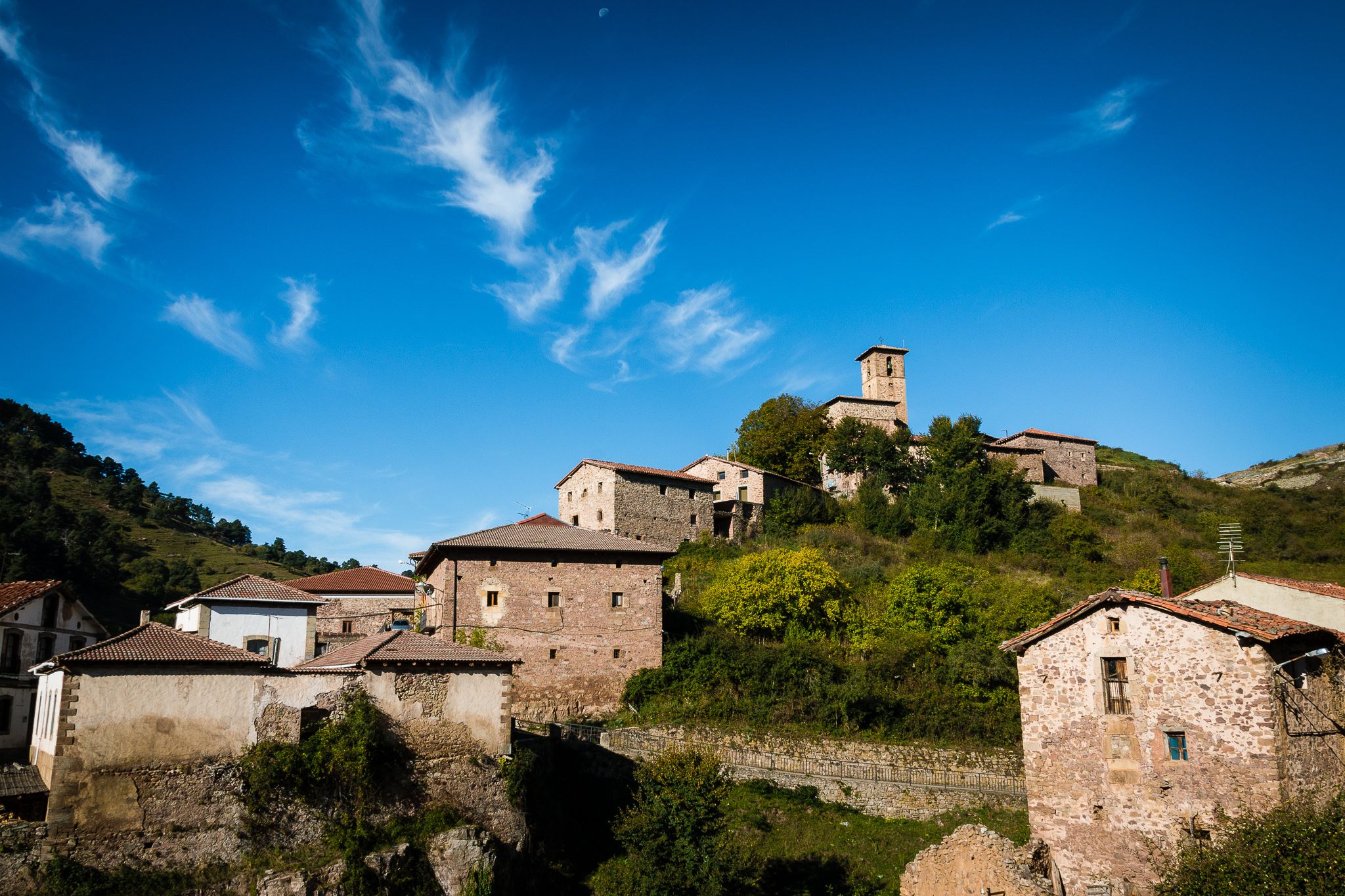
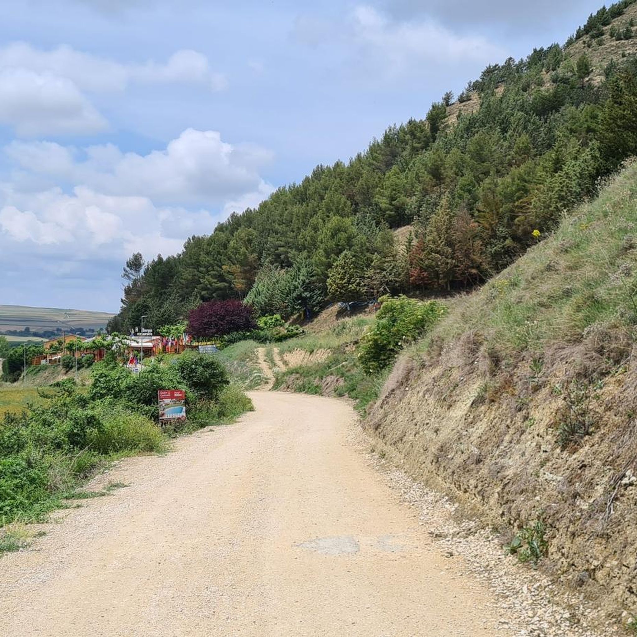
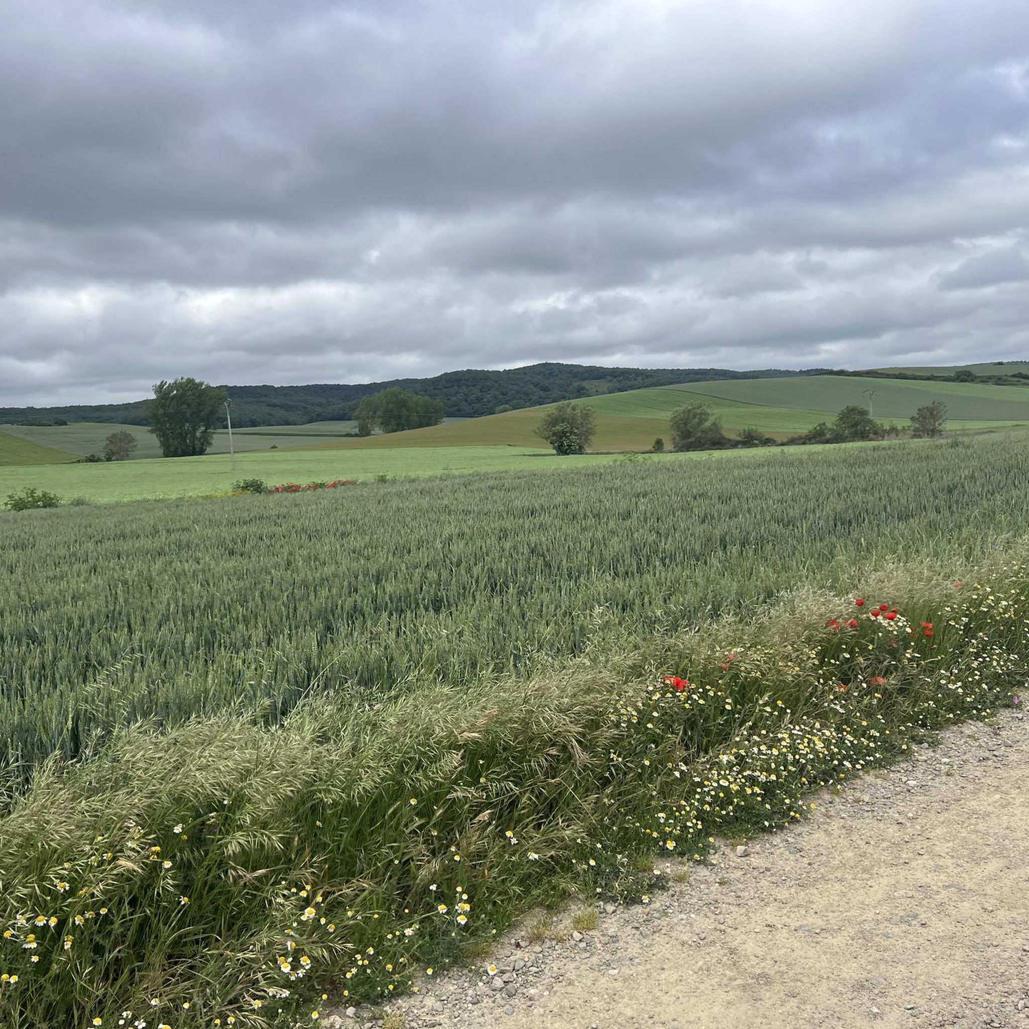
Hiking around San Vicente Del Valle offers diverse landscapes within the Sierra de la Demanda region of Burgos, Spain. The area features varied terrain, including hills and rural scenery, providing a backdrop for outdoor activities. Trails often traverse forested environments and mountainous areas, characteristic of the wider Sierra de la Demanda natural space. This setting provides a range of hiking experiences for different skill levels.
Best hiking trails around San Vicente Del Valle
- The most popular hiking route is Fuente…
Last updated: July 4, 2026
5.0
(3)
5
hikers
9.71km
03:16
470m
470m
Moderate hike. Good fitness required. Mostly accessible paths. Sure-footedness required.
4.1
(9)
27
hikers
12.2km
03:43
420m
420m
Moderate hike. Good fitness required. Easily-accessible paths. Suitable for all skill levels.

Sign up for free
4.8
(6)
24
hikers
13.3km
04:04
440m
440m
Moderate hike. Good fitness required. Easily-accessible paths. Suitable for all skill levels.
5.0
(2)
14
hikers
Moderate hike. Good fitness required. Easily-accessible paths. Suitable for all skill levels.
5.0
(3)
14
hikers
14.9km
04:57
690m
690m
Moderate hike. Good fitness required. Easily-accessible paths. Suitable for all skill levels.
Get access to more routes and recommendations from other explorers.
Sign up for free
Already have an account?
Our route recommendations are based on thousands of hikes, rides, and runs completed by other people on komoot.
Start today with a free account
Your next adventure awaits.
Login or Signup
Other adventures around San Vicente Del Valle

Tips from the Community

Nice area for hiking and mountain biking trails in La Demanda
0
0
Nice area for hiking and mountain biking trails
0
0
Nice area for hiking and mountain biking trails
1
0

Romanesque church dating back to the 12th century on the outskirts of Valgañón, a town in the Sierra de la Demanda near Ezcaray. A great stop to get water on the way up to the top of Pradilla.
0
0

The municipal complex of Pradoluengo is located on the eastern slope of Burgos, a northeastern province of the Autonomous Community of Castilla y León to which it belongs, and is part of the Montes de Oca region. Etymologically it referred to a place of exceptional length and which is known to have been inhabited since the time of Roman domination of the Peninsula.
0
0
It is worth knowing these leafy beech forests of La Demanda.
1
0

Several crossroads, several mailboxes, crossroads of tracks... and more than 1400 meters high.
5
0
Interesting summit with good views. The height of the monolith that symbolizes the top is curious.
6
0
Frequently Asked Questions
How many hiking trails are available around San Vicente Del Valle?
There are over 50 hiking routes around San Vicente Del Valle, offering a wide variety of experiences within the Sierra de la Demanda region. These include options for all skill levels, from easy walks to more challenging treks.
Are there easy hiking trails suitable for beginners or families?
Yes, San Vicente Del Valle offers several easy hiking trails perfect for beginners or families. There are 9 easy routes available. An example is the Pradoluengo Village – Old Bridge loop from Pradoluengo, which is 4.2 miles (6.7 km) long and takes about 1 hour 50 minutes to complete, offering pleasant rural views.
Can I find circular hiking routes in San Vicente Del Valle?
Many of the trails around San Vicente Del Valle are designed as circular routes, allowing you to start and end at the same point. For instance, the Holly forest loop from Alto de Pradilla is a 7.6 miles (12.2 km) circular trail through forested areas.
Are there any waterfalls to see on the trails?
Yes, you can discover waterfalls in the vicinity. The Altuzarra Waterfalls are a notable natural monument in the area, offering a beautiful sight for hikers.
What kind of landscapes can I expect to see while hiking here?
Hiking in San Vicente Del Valle offers diverse landscapes characteristic of the Sierra de la Demanda. You'll encounter varied terrain, including hills, rural scenery, and extensive forested environments. Many routes provide views of the countryside and mountainous areas.
What do other hikers enjoy most about hiking in San Vicente Del Valle?
The area is highly rated by the komoot community, with an average score of 4.5 stars from over 100 reviews. Hikers often praise the diverse terrain, the natural surroundings, and the well-maintained paths that allow for varied outdoor experiences.
Are dogs allowed on the hiking trails?
Generally, dogs are welcome on trails in natural areas like the Sierra de la Demanda, provided they are kept under control, often on a leash, to protect wildlife and ensure the comfort of other hikers. It's always advisable to check specific regulations for individual routes or protected areas.
What are some notable natural landmarks or peaks to explore?
The region features several interesting peaks and natural monuments. You can explore summits like Cruz De Guirnaldo, El Hombre summit, and Alto Micobaña. Additionally, the Arboleda del Sur – Horse Chestnut Trees of Ezcaray is a unique natural monument.
Are there any longer or more challenging routes for experienced hikers?
Yes, for experienced hikers, there are 13 difficult routes and 30 moderate routes available. An example of a moderate trail is the Fuente de los Lobos Trail, which is 6.0 miles (9.7 km) long with significant elevation changes, taking about 3 hours 15 minutes to complete.
What is the best time of year to go hiking in San Vicente Del Valle?
The Sierra de la Demanda region generally offers good hiking conditions from spring through autumn. Spring brings lush greenery and wildflowers, while autumn showcases vibrant fall foliage. Summer is also popular, though it can be warmer. Winter hiking is possible but may require appropriate gear for snow and colder temperatures, especially at higher elevations.
Are there any trails that lead to interesting viewpoints?
Yes, many trails in the mountainous Sierra de la Demanda region offer rewarding viewpoints. For example, you can find the View of San Lorenzo from Masoga, providing scenic vistas of the surrounding landscape.
Is parking generally available at trailheads in the area?
While specific parking details vary by trailhead, most popular hiking areas and villages in the Sierra de la Demanda region, including those near San Vicente Del Valle, typically offer designated parking facilities or roadside parking options for hikers. It's always a good idea to arrive early during peak seasons.
Most popular attractions around San Vicente Del Valle

Get inspired with the komoot mobile app


Explore more
Browse the best Hikes in other regions.
