Top 8 Gorges in the Santa Clara Mountains
Best canyons in the Santa Clara Mountains feature diverse geological formations. This region is characterized by impressive cone-shaped tent rock formations and steep mesas overlooking river systems. Visitors can explore areas with ancient volcanic rock and rugged canyon landscapes. The Santa Clara Mountains offer a variety of natural features for outdoor exploration.
Best canyons in the Santa Clara Mountains
- The most popular canyons is Kasha-Katuwe Tent Rocks National Monument, a natural monument that features impressive geological formations, including cone-shaped…
Last updated: July 11, 2026
Kasha-Katuwe Tent Rocks National Monument
Highlight • Natural Monument
This …
Tip by

White Rock Canyon Overlook
Highlight • Viewpoint
Tip by

Sign up now to discover places like this
Get recommendations on the best single tracks, peaks, & plenty of other exciting outdoor places.
Sign up for free
Battleship Rock
Highlight • Natural Monument
Tip by
Tent Rocks
Highlight • Natural Monument
Tip by
Pueblo Canyon view
Highlight • Viewpoint
Tip by
Start today with a free account
Your next adventure awaits.
Login or Signup
Popular around Santa Clara Mountains

Bikepack in America's southwest – deserts, cacti and Anasazi culture
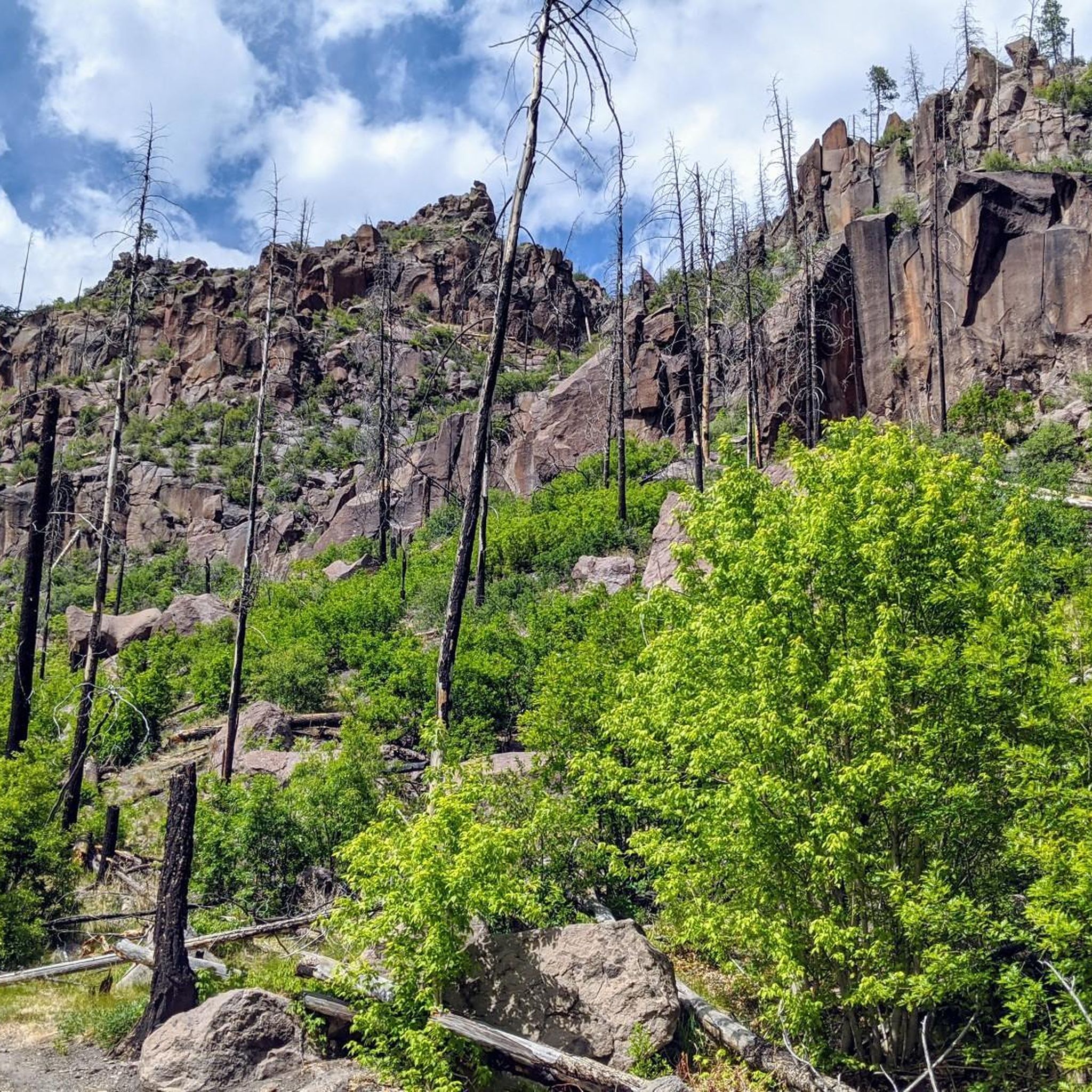
Hiking in the Santa Clara Mountains
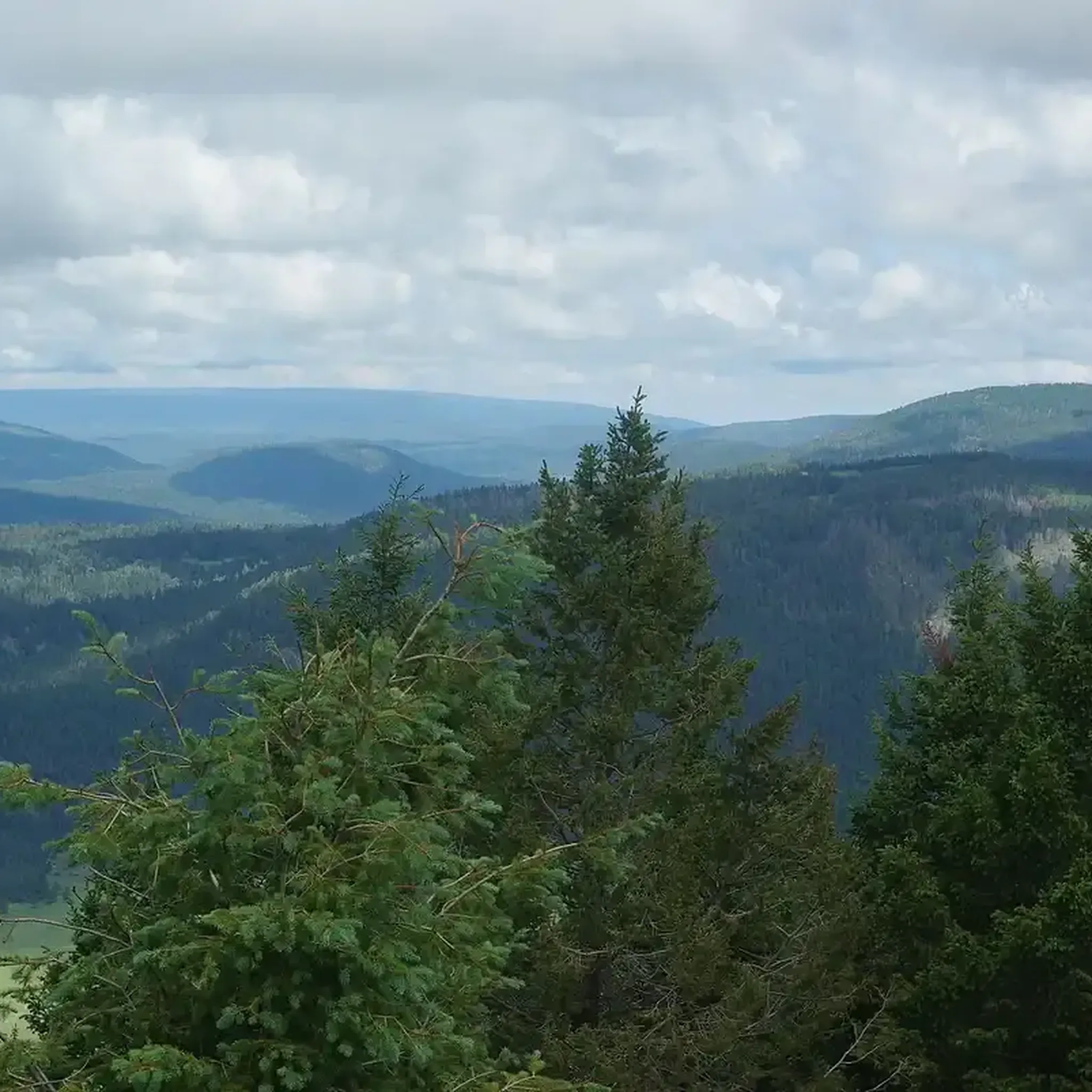
Running Trails in the Santa Clara Mountains
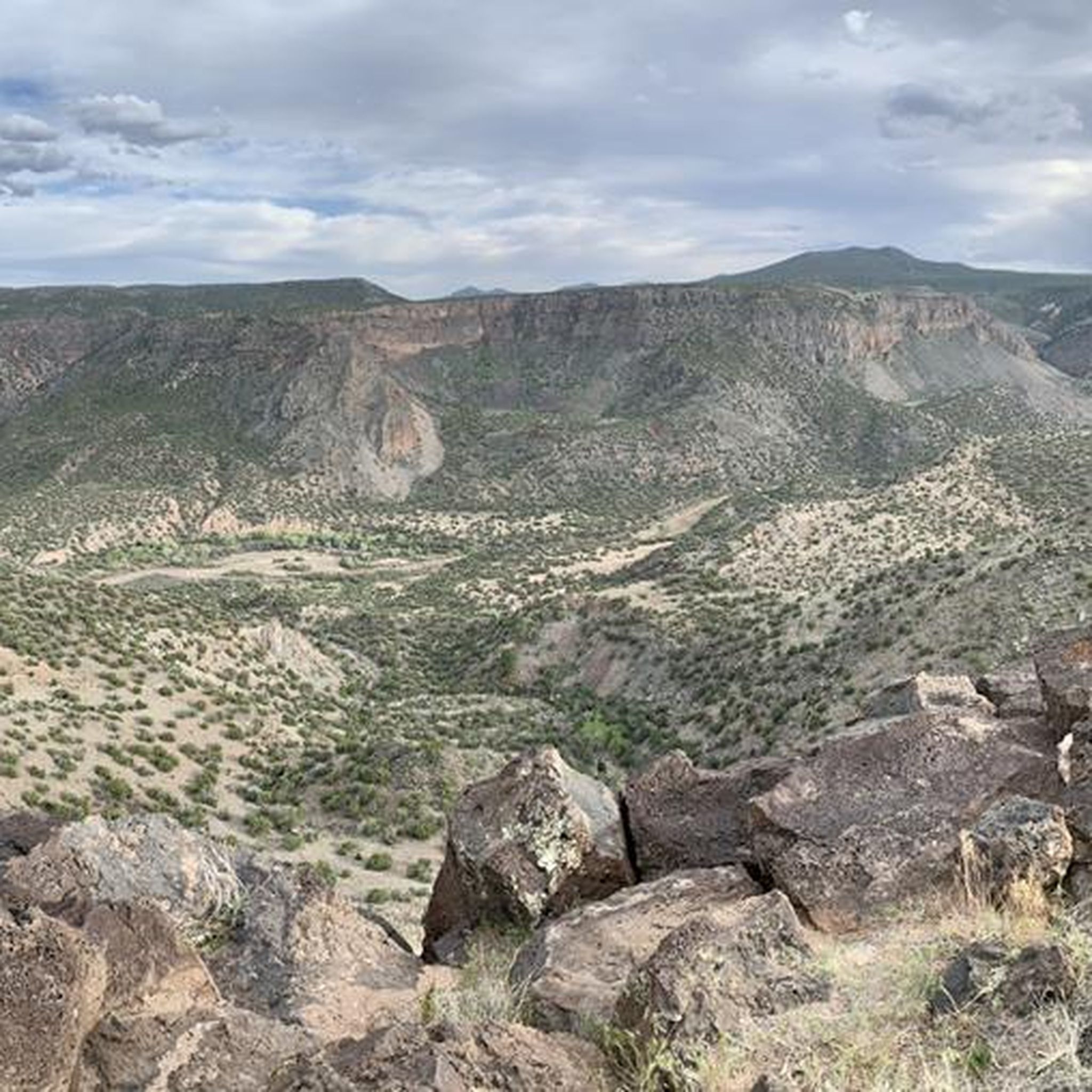
MTB Trails in the Santa Clara Mountains
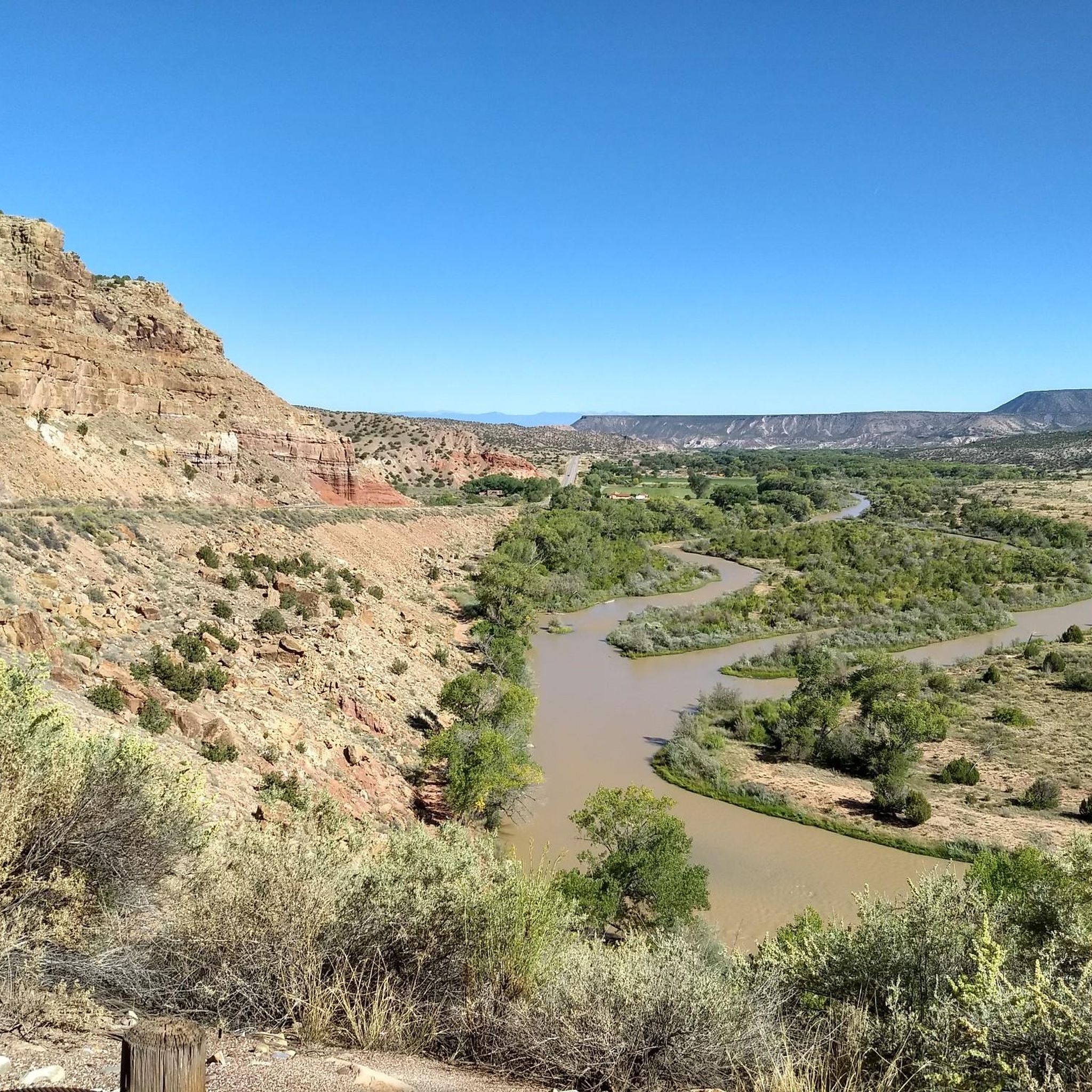
Cycling in the Santa Clara Mountains
Road Cycling Routes in the Santa Clara Mountains
Gravel biking in the Santa Clara Mountains
Other adventures in the Santa Clara Mountains

Tips from the Community

A paved pathway leads to a viewing platform at the northern tip, providing stunning vistas of the Rio Grande River and the picturesque White Rock Canyon. The river gracefully winds its way through the canyon, creating a stunning contrast against the rugged terrain.
0
0

The East Fork Trail offers some nice views of tent rocks. These rock formations are cone-shaped and made by ancient volcanic eruptions.
0
0
Battleship Rock is a 200-foot-tall natural rock formation towering over this picnic site. It was created by ancient volcanic rock, resembling a Navy battleship. The East Fork Jemez and San Antonio Rivers runs through here, and it is a great spot for picnickers, fishermen, hikers, and runners to enjoy.
0
0
Kasha-Katuwe Tent Rocks National Monument is on public BLM land (Bureau of Land Management), and before arriving, visitors should check to see if the area is open at blm.gov/visit/kktr This area has impressive geological features, including cone-shaped tent rock formations. This area is open to foot traffic only, and the elevation of the area ranges from 5,570 feet to 6,760 feet above sea level.
0
0

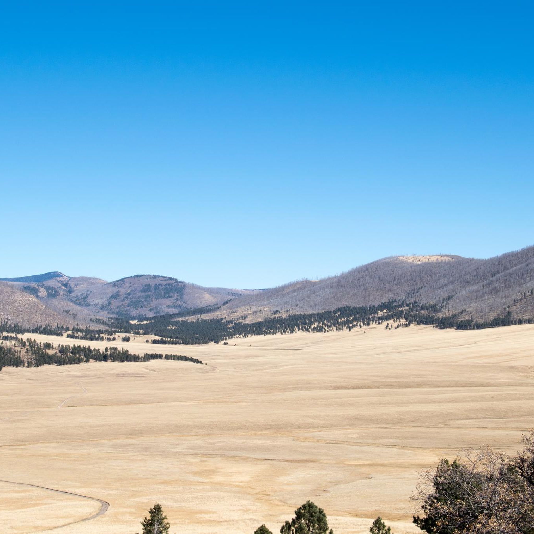
The White Rock Overlook is a stunning overlook in White Rock, New Mexico. From this point on the far end of Overlook Park you get amazing, panoramic views down the steep mesa to the Rio Grande River and over the open desert.
0
0
Kasha-Katuwe Tent Rocks National Monument is on public BLM land (Bureau of Land Management), and before arriving, visitors should check to see if the area is open at https://www.blm.gov/visit/kktr This area has impressive geological features, including cone-shaped tent rock formations. This area is open to foot traffic only, and the elevation of the area ranges from 5,570 feet to 6,760 feet above sea level.
0
0
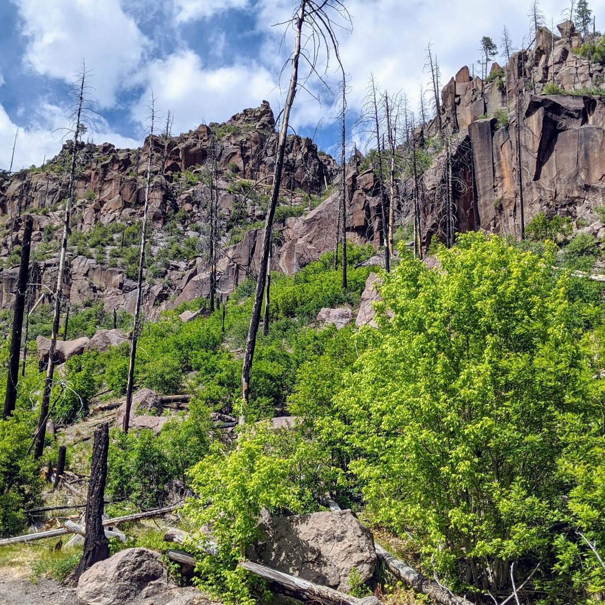
From this spot you get fantastic views down Pueblo Canyon. This is a great spot to sip some water, take a few photos, and admire your surroundings.
0
0
Frequently Asked Questions
What unique geological features can I expect to see in the Santa Clara Mountains canyons?
The Santa Clara Mountains are renowned for their distinctive geological formations. You can explore areas featuring impressive cone-shaped tent rock formations, such as those found at Kasha-Katuwe Tent Rocks National Monument and Tent Rocks. These formations were created by ancient volcanic eruptions. Additionally, you'll find steep mesas overlooking river systems, like the panoramic views of the Rio Grande River from White Rock Canyon Overlook.
Are there family-friendly canyon areas in the Santa Clara Mountains?
Yes, the Santa Clara Mountains offer options suitable for families. Battleship Rock is a great spot for families, offering a picnic site beneath a towering 200-foot natural rock formation. The area also features the East Fork Jemez and San Antonio Rivers, making it ideal for picnicking, fishing, and short walks.
What kind of outdoor activities can I do near the canyons in the Santa Clara Mountains?
Beyond exploring the canyons themselves, the Santa Clara Mountains offer a variety of outdoor activities. You can find numerous hiking trails, such as the Pueblo Loop Trail or Canyon Rim Trail, and mountain biking routes like the Pajarito Mountain loop or Guaje Canyon Trail. For more options, check out the dedicated guides for Hiking in the Santa Clara Mountains and MTB Trails in the Santa Clara Mountains.
Do I need a permit to visit the canyons in the Santa Clara Mountains?
For specific areas like Kasha-Katuwe Tent Rocks National Monument, which is on public BLM land, it's crucial to check if the area is open before your visit. You can find current information at blm.gov/visit/kktr. Always verify access requirements for individual sites.
What are some notable viewpoints to experience the canyons?
The Santa Clara Mountains offer several stunning viewpoints. White Rock Canyon Overlook provides amazing, panoramic views down the steep mesa to the Rio Grande River and across the open desert. Another excellent spot is Pueblo Canyon view, where you can enjoy fantastic vistas down Pueblo Canyon.
What is the elevation range for exploring the canyons?
When exploring areas like Kasha-Katuwe Tent Rocks National Monument, you can expect elevations ranging from 5,570 feet to 6,760 feet above sea level. Be prepared for varying altitudes during your visit.
Are there any specific trails recommended for viewing the tent rock formations?
Yes, the East Fork Trail is highly recommended for experiencing the unique tent rock formations. This trail offers nice views of the cone-shaped rocks, which are a result of ancient volcanic eruptions, particularly around the Tent Rocks area.
What kind of river systems are associated with the canyons?
The canyons in the Santa Clara Mountains are often carved by significant river systems. The Rio Grande River gracefully winds its way through areas like White Rock Canyon, offering a stunning contrast against the rugged terrain visible from White Rock Canyon Overlook. Additionally, the East Fork Jemez and San Antonio Rivers flow through the area around Battleship Rock.
Can I find any historical or ancient sites near the canyons?
While the guide focuses on natural features, the region's geology, particularly the volcanic origins of formations like Battleship Rock, speaks to a deep geological history. The presence of ancient volcanic rock is a key characteristic of the area.
What are some easy hiking options near the canyons?
For easier hikes, you can explore routes like the Pueblo Loop Trail, which is an easy hiking option. Additionally, some mountain biking routes such as the American Springs Loop and Kwage Mesa Loop are rated as easy, offering less strenuous ways to experience the surrounding landscape. You can find more details in the Hiking in the Santa Clara Mountains guide.
What do visitors appreciate most about the Santa Clara Mountains canyons?
Visitors to the Santa Clara Mountains canyons highly appreciate the impressive geological features and scenic overlooks. The unique cone-shaped tent rock formations and the panoramic views down to the Rio Grande River are frequently highlighted. The komoot community has shared numerous photos and given positive feedback, emphasizing the natural beauty and diverse landscapes available for exploration.
Most popular routes in the Santa Clara Mountains
Most popular attractions in the Santa Clara Mountains

Get inspired with the komoot mobile app


