The best MTB trails in the Santa Clara Mountains
4.9
(14)
73
riders
36
rides
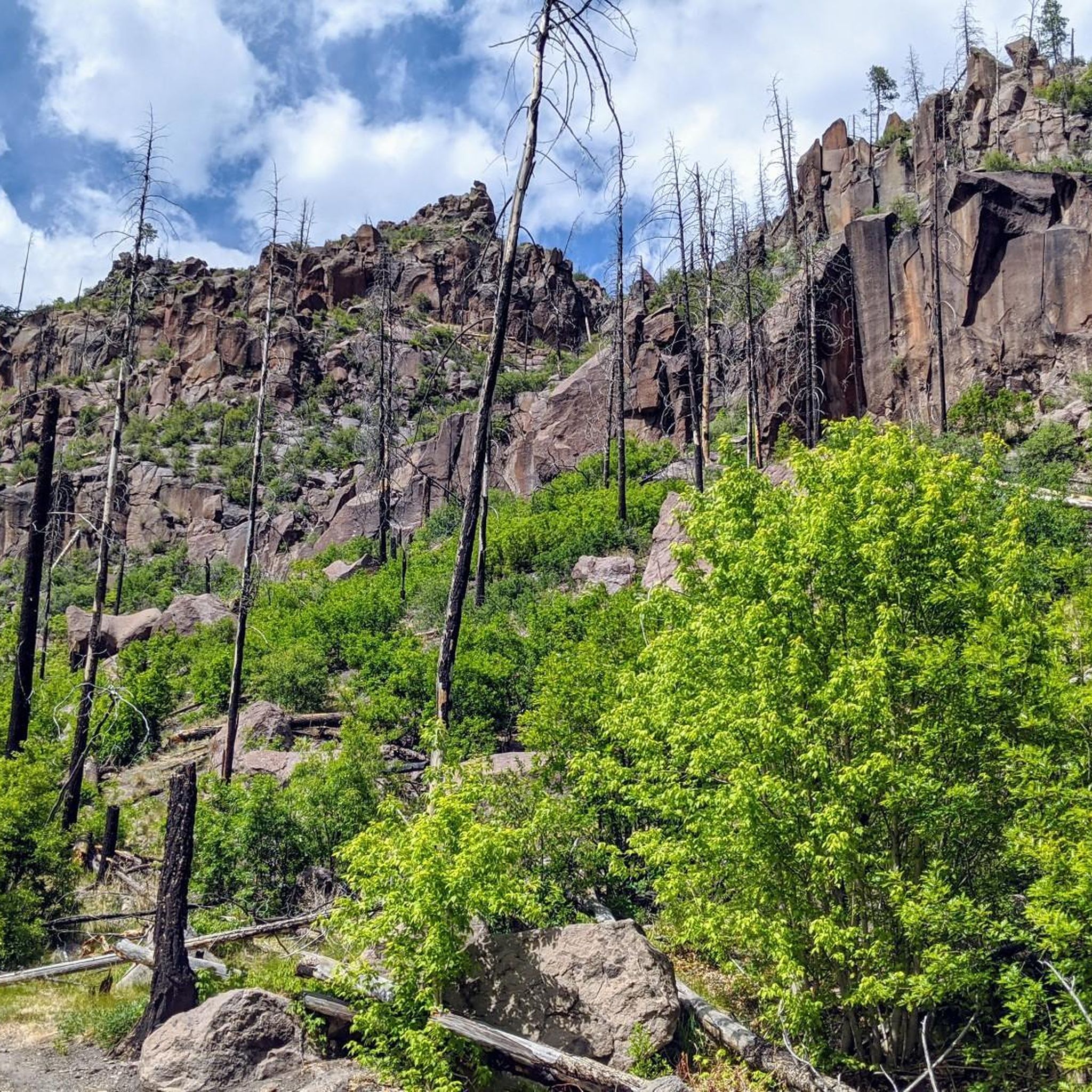
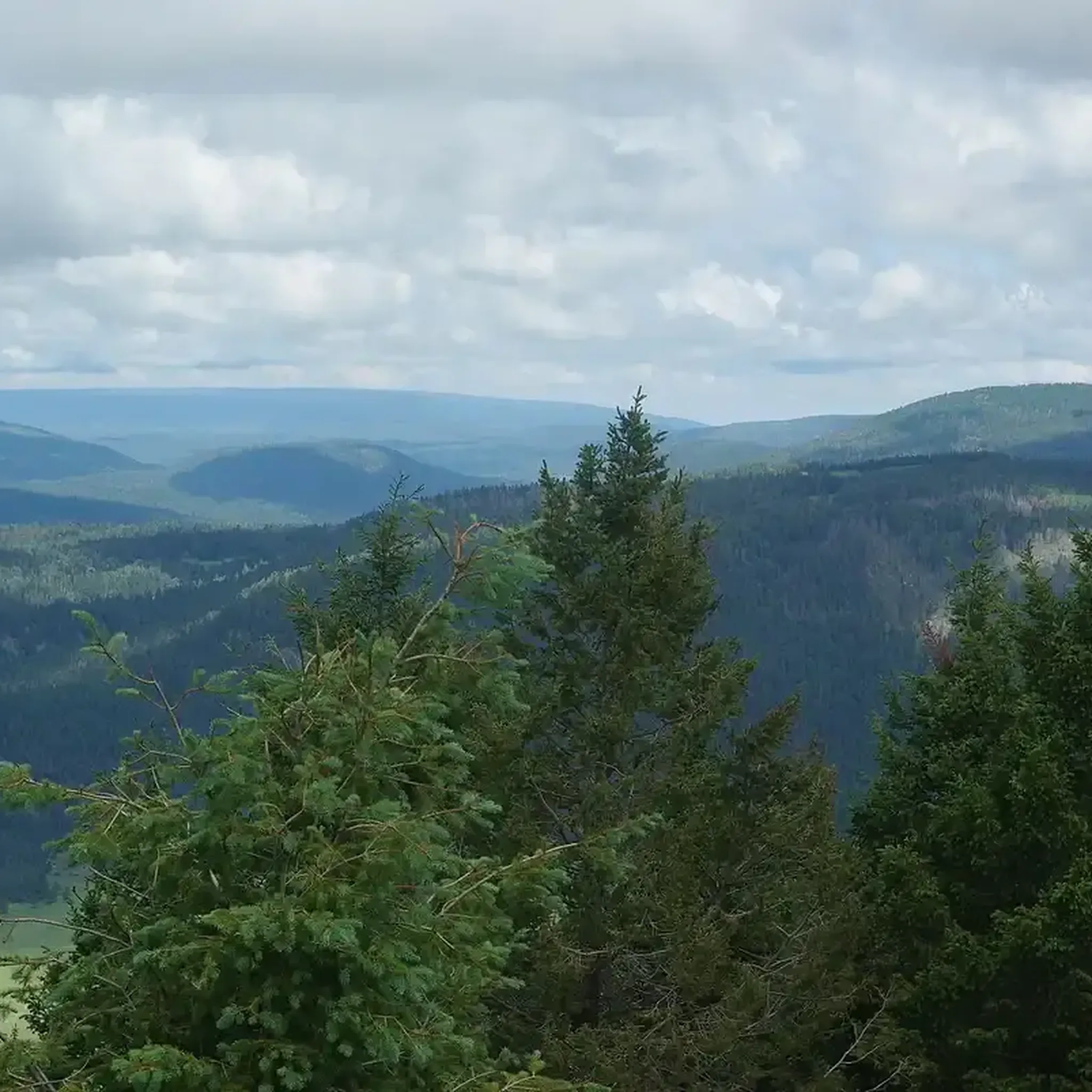
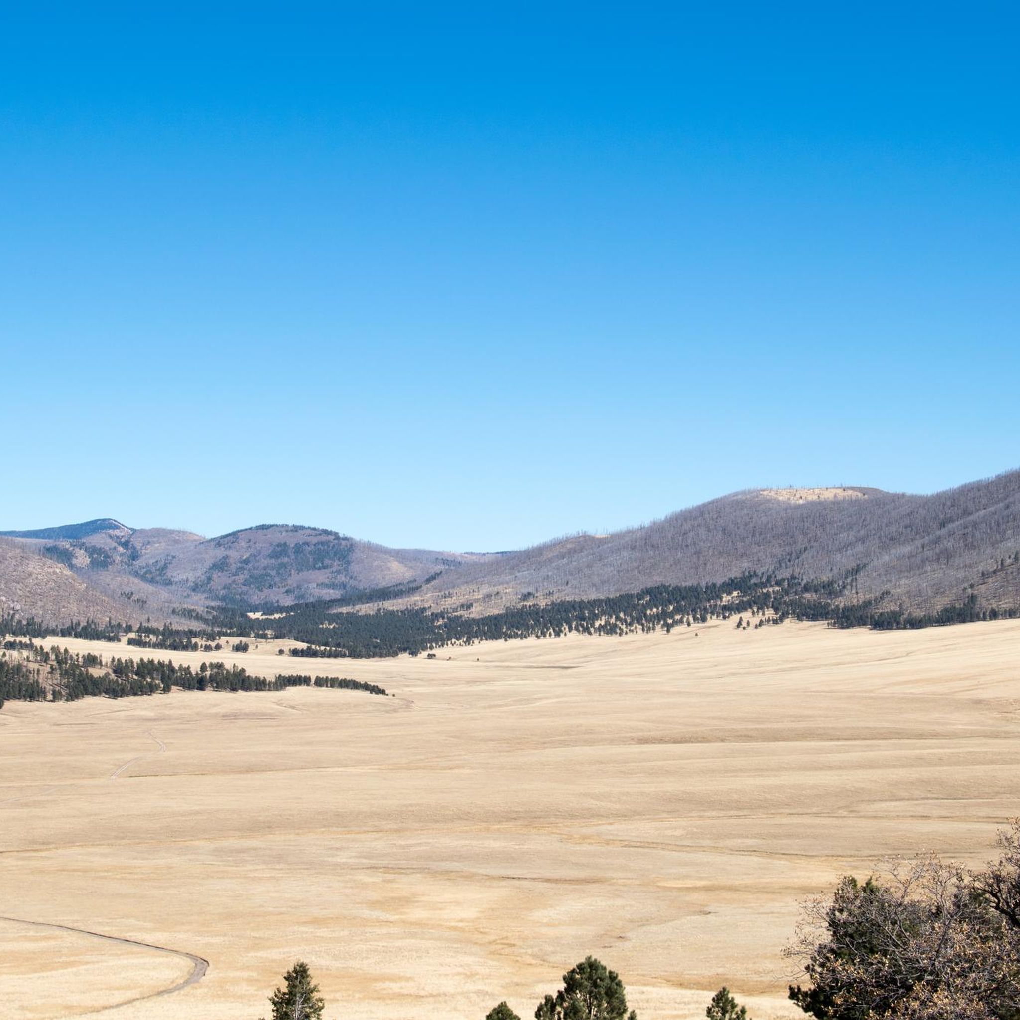
Mountain biking in the Santa Clara Mountains offers diverse terrain across the Santa Cruz Mountains and Diablo Range. This region features a varied topography including dense redwood forests, oak woodlands, rolling grasslands, and distinct rocky outcrops. Elevations range significantly, providing a dynamic environment for different types of mountain bike trails. The landscape includes steep ridges, gentle slopes, and numerous canyons, with many routes leading to panoramic views.
Best mountain bike trails in the Santa Clara Mountains
- The most popular mountain…
Last updated: July 7, 2026
4
riders
10.6km
00:45
620m
620m
Prepare for a moderate mountain biking adventure on the Pajarito Mountain loop, a route distinguished by its rugged, hand-built terrain. This challenging ride spans 6.6 miles (10.6 km) and includes…
5.0
(3)
2
riders
12.8km
01:17
270m
270m
Embark on the American Springs Loop for an easy mountain biking adventure through Santa Fe National Forest. This 8.0-mile (12.8 km) route offers a varied experience, starting with mostly easy…

Sign up for free
4
riders
10.5km
01:10
320m
320m
The Guaje Canyon Trail offers a moderate mountain biking experience, covering 6.5 miles (10.5 km) with an elevation gain of 1056 feet (322 metres). You can expect to complete this…
2
riders
25.4km
02:59
900m
900m
Embark on the Guaje Ridge and Perimeter Trail Loop for a classic Los Alamos mountain biking adventure. This moderate route spans 15.8 miles (25.4 km) and features a significant elevation…
2
riders
10.2km
00:56
130m
130m
Embark on the Potrillo Canyon and Ruin Mesa Loop for an easy mountain biking experience that offers a mix of terrain suitable for beginners. This route covers 6.4 miles (10.2…
3
riders
6.92km
00:38
90m
90m
The Kwage Mesa Loop offers an easy mountain biking experience, covering 4.3 miles (6.9 km) with a gentle 280 feet (85 metres) of elevation gain. You can expect to complete…
2
riders
14.7km
01:42
490m
490m
Get ready for a mountain biking adventure on the Quemazon/Pipeline Loop, a moderate route that packs a punch with its varied terrain. You will navigate everything from packed dirt to…
2
riders
10.8km
00:59
160m
160m
You can mountain bike the easy White Rock Canyon Rim Trail Loop, a 6.7-mile (10.8 km) route that takes about 58 minutes to complete. As you ride, you'll gain 533…
1
riders
19.6km
02:29
820m
820m
Get ready for a moderate mountain biking adventure on the Quemazon, Guaje Ridge, and Perimeter Loop, covering 12.2 miles (19.6 km) with a significant 2694 feet (821 metres) of elevation…
13.5km
01:18
270m
270m
Embark on the Bayo/Pueblo Loop, an easy mountain biking route that spans 8.4 miles (13.5 km) and involves an elevation gain of 890 feet (271 metres). You can expect to…
Get access to more routes and recommendations from other explorers.
Sign up for free
Already have an account?
Our route recommendations are based on thousands of hikes, rides, and runs completed by other people on komoot.
Start today with a free account
Your next adventure awaits.
Login or Signup
Popular around Santa Clara Mountains

Other adventures in the Santa Clara Mountains

Tips from the Community

The Mitchell Trail is a very steep, switchbacking trail thats open to hikers and bikers. Although you can ride up it, it is so gravely, steep, and twisty that most use it as a downhill trail. This trail is very popular with hikers headed to the Los Alamos Arch (which you should check out too!) so be aware as you ride down.
0
0
The Quemazon Trail is an excellent mountain biking and hiking trail on the westside of Los Alamos. It is typically ridden as a downhill trail accessed from either the Knapp/Los Alamos Canyon Trail or Pipeline Road, but it can be ridden uphill. The Quemazon Trail is a technical trail with stretches of flowy singletrack intermixed with rocks, ledges, and small drops to keep things interesting.
0
0
The Technical Perimeter, as the name indicates, is the technical western side of Perimeter Trail system. This trail is mostly comprised of volcanic slickrock. It is not a fast trail, but it's a great trail if you're in the mood for some slower techy riding with great views.
0
0
Pipeline Road is a rough, steep dirt road that takes you up to the Pajarito Mountain Ski Area and the Guaje Ridge. The road starts in town on the west side of the Perimeter Trail and is closed to cars and other motor vehicles. Although the climb is hard, the views are excellent.
0
0
The Guaje Ridge Trail is a long, open trail that traverses the amazing ridges of several mountain tops (most unnamed) north of Los Alamos. This section of trail stretches from the intersection with the Mitchell Trail and the Upper Guaje Ridge Trail. Although you're only a few miles from town (as the crow flies), this is an incredibly remote feeling trail.
0
0
The Bayo Canyon Trail runs from the rotary next to Loma Linda Park to the bottom of Bayo Canyon. The trail starts out on fast, flowy singletrack, but gets steadily more technical as you get close to the bottom of the canyon with steep drops and large rocks. At the bottom of the canyon the trail levels out again before turning into a dirt road that eventually leads out to the highway.
0
0
The Kwage Mesa Trail is an easy, flat trail that takes you out into the desert northeast of Los Alamos, New Mexico. Archeologists have found evidence of human activity on the Kwage (KWA-hee) Mesa, which is also known as the Pajarito Plateau, dating back over 10,000 years. This unique trail is a great place to walk through both natural and human history close to town.
0
0
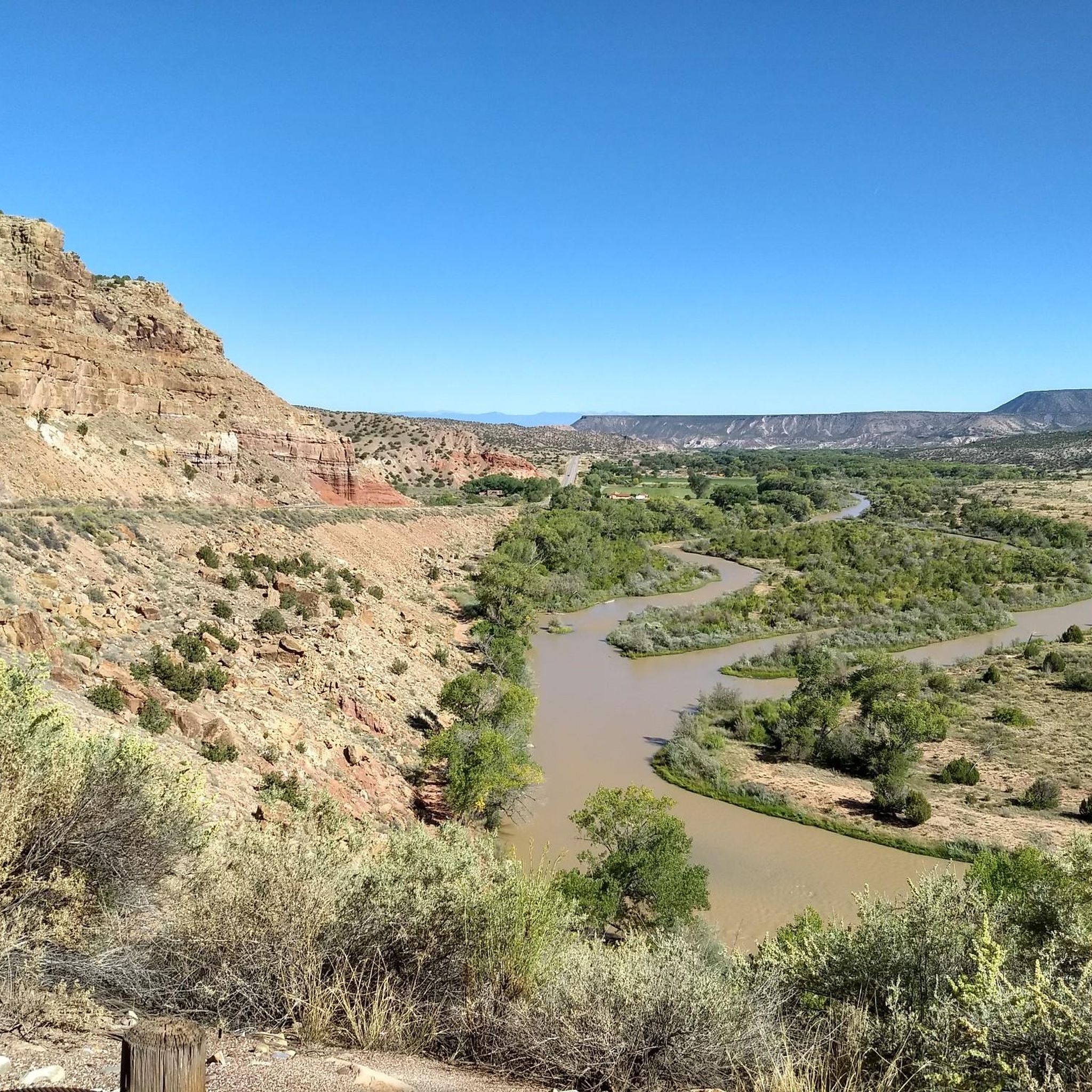
The White Rock Canyon Rim Trail is a stunning trail that traverses the rim of White Rock Canyon, As you ride, you get amazing, panoramic views down the steep mesa to the Rio Grande River and over the open desert. This is a great trail for riders of all ability levels; it's generally flat with great views and a few rocky basalt steps to keep things interesting.
0
0
Frequently Asked Questions
What kind of terrain and difficulty can I expect on mountain bike trails in the Santa Clara Mountains?
The Santa Clara Mountains offer a diverse range of terrain, from dense redwood forests and oak woodlands to rolling grasslands and rocky outcrops. You'll find a mix of steep ridges, gentle slopes, and canyons. Trails cater to all skill levels, with options ranging from easy, flowy paths to challenging routes with significant elevation gain and technical sections. For example, Pajarito Mountain loop is a moderate trail with substantial climbing, while American Springs Loop offers a more manageable, easy ride.
Are there easy mountain bike trails suitable for beginners?
Yes, the Santa Clara Mountains have several easy mountain bike trails perfect for beginners or those looking for a more relaxed ride. For instance, the American Springs Loop is an easy 8.0-mile (12.8 km) path with manageable ascents. Another good option is the Potrillo Canyon and Ruin Mesa Loop, which is also rated easy.
What are some challenging mountain bike trails for experienced riders?
For experienced riders seeking a challenge, the Santa Clara Mountains offer routes with significant elevation gain and longer distances. The Guaje Ridge and Perimeter Trail Loop is a moderate 15.8-mile (25.4 km) trail with nearly 900 meters of ascent. Another demanding option is the Quemazon, Guaje Ridge, and Perimeter Loop, a 12.2-mile (19.6 km) moderate route with over 800 meters of climbing.
How long do mountain bike trails typically take to complete?
Trail durations vary widely depending on length, elevation, and your riding pace. Easy trails like the Kwage Mesa Loop (4.3 miles / 6.9 km) can be completed in about 40 minutes. Moderate trails, such as the Guaje Canyon Trail (6.5 miles / 10.5 km), typically take around 1 hour 10 minutes. Longer, more challenging routes can take several hours, with some extending to over 3 hours.
What natural features or views can I expect to see while mountain biking?
Mountain biking in the Santa Clara Mountains offers stunning natural beauty. You'll ride through dense redwood forests, oak woodlands, and expansive rolling grasslands. Many trails lead to summits like Black Mountain or Mount Umunhum, providing breathtaking panoramic views across Silicon Valley, the Santa Cruz Mountains, and even to the Pacific Ocean. You might also encounter unique geological formations and ride alongside reservoirs like Stevens Creek Reservoir.
Are there any specific landmarks or attractions near the trails?
Yes, the region is rich with natural and historical attractions. You can explore impressive geological formations like the Kasha-Katuwe Tent Rocks National Monument or visit viewpoints such as the White Rock Canyon Overlook and Pueblo Canyon view. Historical sites like Petroglyphs and ancient cave dwellings like Alcove House and Cavates are also accessible, often within or near the broader trail network.
What do other mountain bikers enjoy the most about mountain biking in the Santa Clara Mountains?
The Santa Clara Mountains are highly rated by the komoot community, with an average score of 5.0 stars from more than 10 reviews. Mountain bikers often praise the diverse terrain, from shaded forests to open hillsides, and the extensive network of trails that cater to various skill levels. The stunning panoramic views from higher elevations are also a frequently mentioned highlight.
Are there any loop mountain bike trails in the Santa Clara Mountains?
Yes, many mountain bike trails in the Santa Clara Mountains are designed as loops, offering a varied experience without retracing your steps. Popular loop options include the Pajarito Mountain loop, American Springs Loop, and the White Rock Canyon Rim Trail Loop. These provide a convenient way to explore the region's diverse landscapes.
What is the best time of year for mountain biking in the Santa Clara Mountains?
The Santa Clara Mountains generally offer year-round accessibility for outdoor activities. While inland valleys can be hot in summer, the pleasant climate allows for mountain biking throughout the year. Cooler, wet winters and hot, dry summers characterize the region. Spring and fall often provide ideal conditions with milder temperatures and lush scenery, but shaded forest trails can be enjoyable even on warmer days.
How many mountain bike trails are available in the Santa Clara Mountains?
There are over 30 mountain bike trails available in the Santa Clara Mountains, offering a wide variety of options for different skill levels and preferences. This extensive network ensures there's always a new route to explore, from easy loops to more challenging climbs.
Are there any trails that offer a mix of forest and open views?
Absolutely. Many trails in the Santa Clara Mountains traverse varied landscapes, providing a dynamic riding experience. You'll often find routes that wind through dense redwood and oak forests, offering cool shade, before opening up to rolling grasslands or ridge lines with expansive panoramic views. This blend is a hallmark of mountain biking in the region.
Most popular routes in the Santa Clara Mountains
Most popular attractions in the Santa Clara Mountains

Get inspired with the komoot mobile app


Explore more
Browse the best MTB trails in other regions.
