Top 6 Gorges around Oberstadtfeld
Best canyons around Oberstadtfeld are found within the Vulkaneifel region, characterized by its unique volcanic landscape. This area features deep maars and impressive valleys, offering geological formations and experiences akin to traditional canyons. The region's past volcanic activity has shaped a diverse terrain, including stream valleys and significant geological formations. Oberstadtfeld itself is nestled in a hilly, forested landscape, providing a setting for exploration.
Best canyons around Oberstadtfeld
- The most popular canyons is Lieserpfad Hiking Trail, a trail that…
Last updated: October 13, 2026
View of Gerolstein from the Munterley
Highlight • Viewpoint
Translated by Google •
Tip by

Lieser Valley
Highlight (Segment) • Gorge
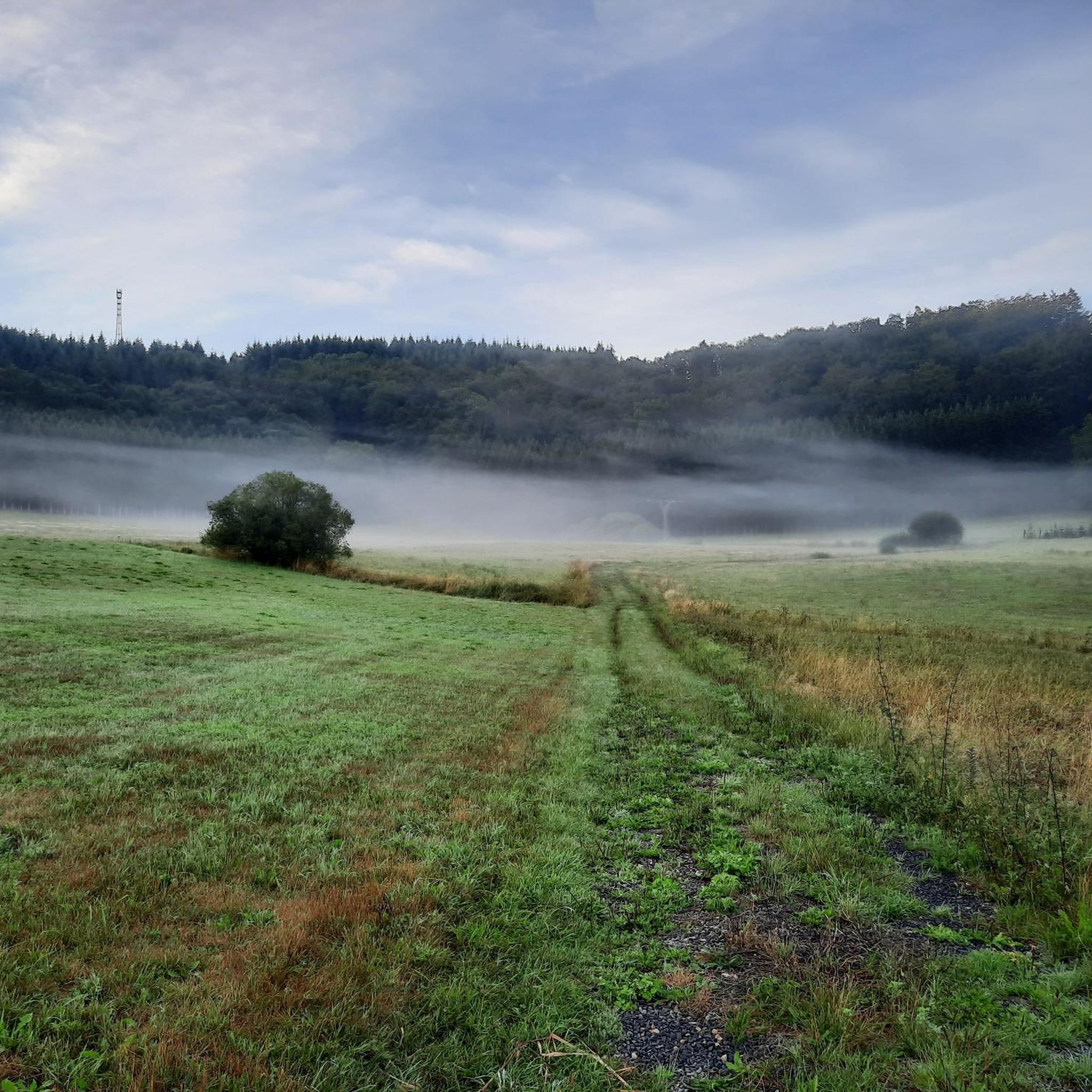
It is only a stream that flows into the Moselle at the place Lieser but it meanders through fantastic nature! A highlight!
Translated by Google •
Tip by

Sign up now to discover places like this
Get recommendations on the best single tracks, peaks, & plenty of other exciting outdoor places.
Lieserpfad Hiking Trail
Highlight (Segment) • Trail
Translated by Google •
Tip by

Martins Cave
Highlight • Cave
Translated by Google •
Tip by

Lieser Valley
Highlight • Gorge
Translated by Google •
Tip by

Sign up for free to discover even more gorges around Oberstadtfeld.
Already have an account?
Start today with a free account
Your next adventure awaits.
Tips from the Community

The caves can be explored with the help of a flashlight.
2
0
Very beautiful and well-kept Marian grotto.
2
0

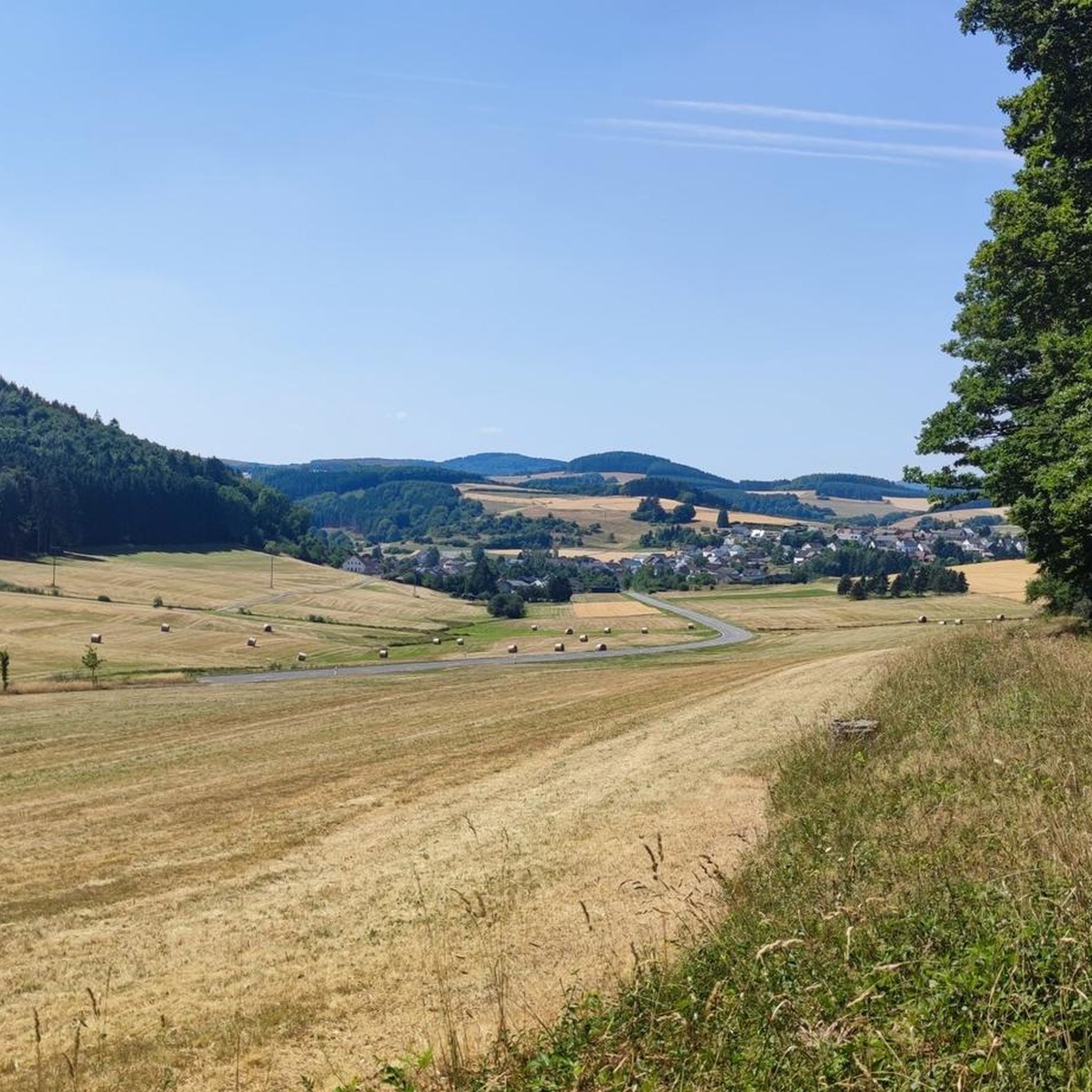
Great view from up here and an ideal place for a break
4
0

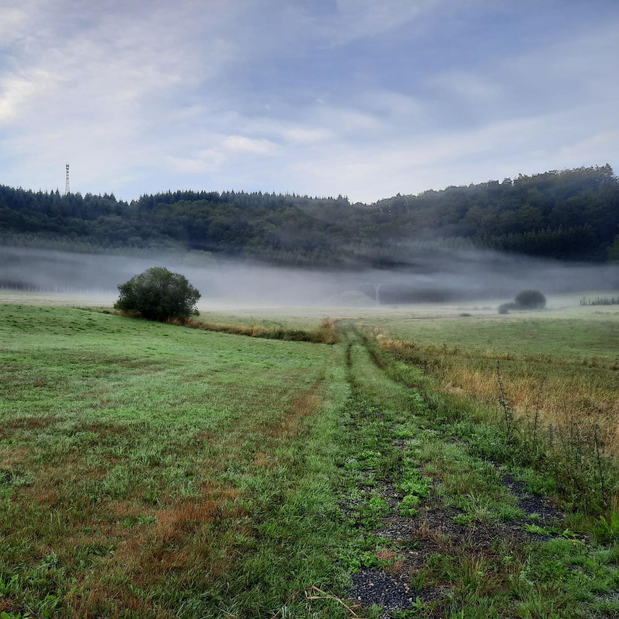
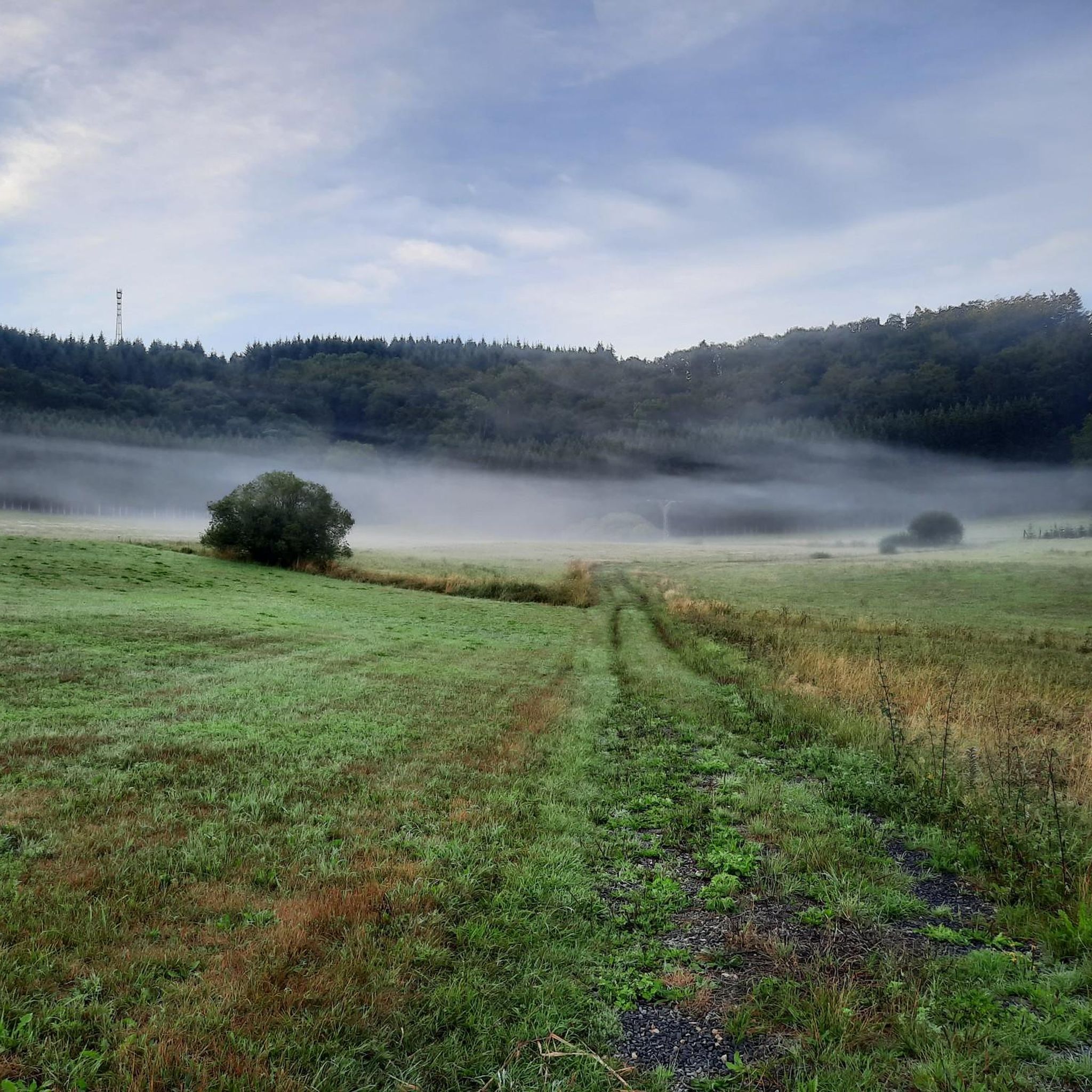
On the first stage of the Lieserpfad you come through the "Struth". Here you can stroll comfortably past the Lieser without any significant inclines. Some circular paths also lead through the Liesertal in the Struth, such as the "Alte Eiche" circular path also passes by on this section.
1
0

"With an area of approx. 102 hectares, the area around the Gerolsteiner Dolomites has been a nature reserve since 1990. + occurring animal species: bat + occurring plant species: juniper, orchids, character plants calcareous grassland, grove rush-beech forest, woodruff-beech forest, orchid-limestone-beech forest Around 380 million years ago there was a warm, subtropical shallow sea here, in which mighty reefs of stromatopores - relatives of sponges - and corals formed. After the dolomitization, sinking and folding of the rocks, the Devonian deposits were lifted out again. Today's Gerolsteiner Dolomites were formed, which rise steeply above the Kylltal north of the center of Gerolstein. The rocks "Hustley", "Munterley", "Drohende Ley", "Große Kanzel" and "Auberg" characterize the cityscape from afar and form the landmark of Gerolstein. The most famous summit of the Gerolsteiner Dolomites is the "Munterley" - with a height of 482 meters - and offers a breathtaking view over Gerolstein, the Kylltal and far into the Vulkaneifel. Stone Age people, who settled here 30,000 years ago, obviously enjoyed this view, as evidenced by stone tools and bones found at the nearby Buchenloch Cave. Visiting the Gerolsteiner Dolomites can be perfectly combined with hiking the Felsenpfad - the northern part of the "Gerolsteiner Dolomiten Acht". The almost eight-kilometer round tour offers many magical places and geological traces." https://www.eifel.info/a-gerolsteiner-dolomites
10
0

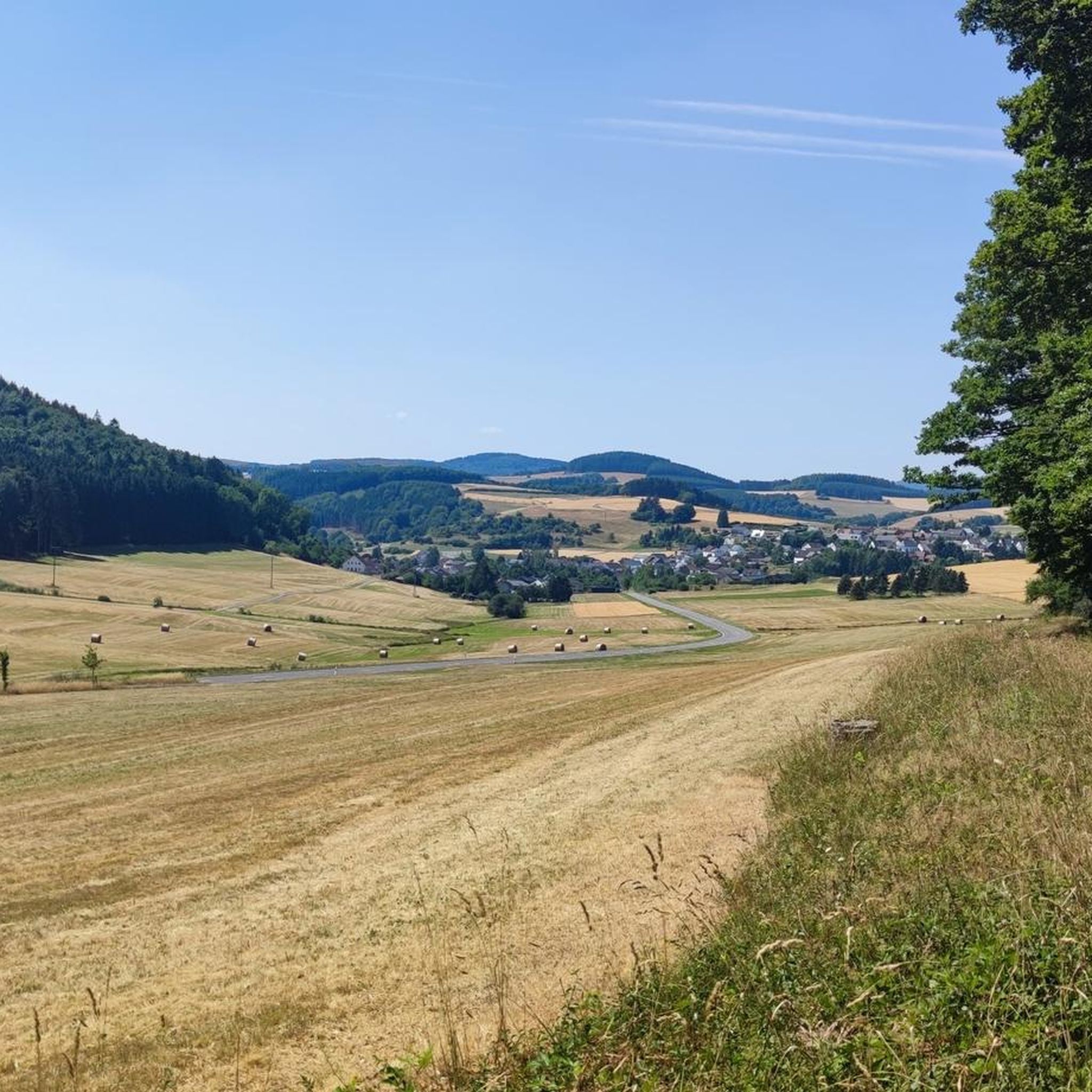
An impressive valley, full of beauty and with many hiking opportunities
7
0

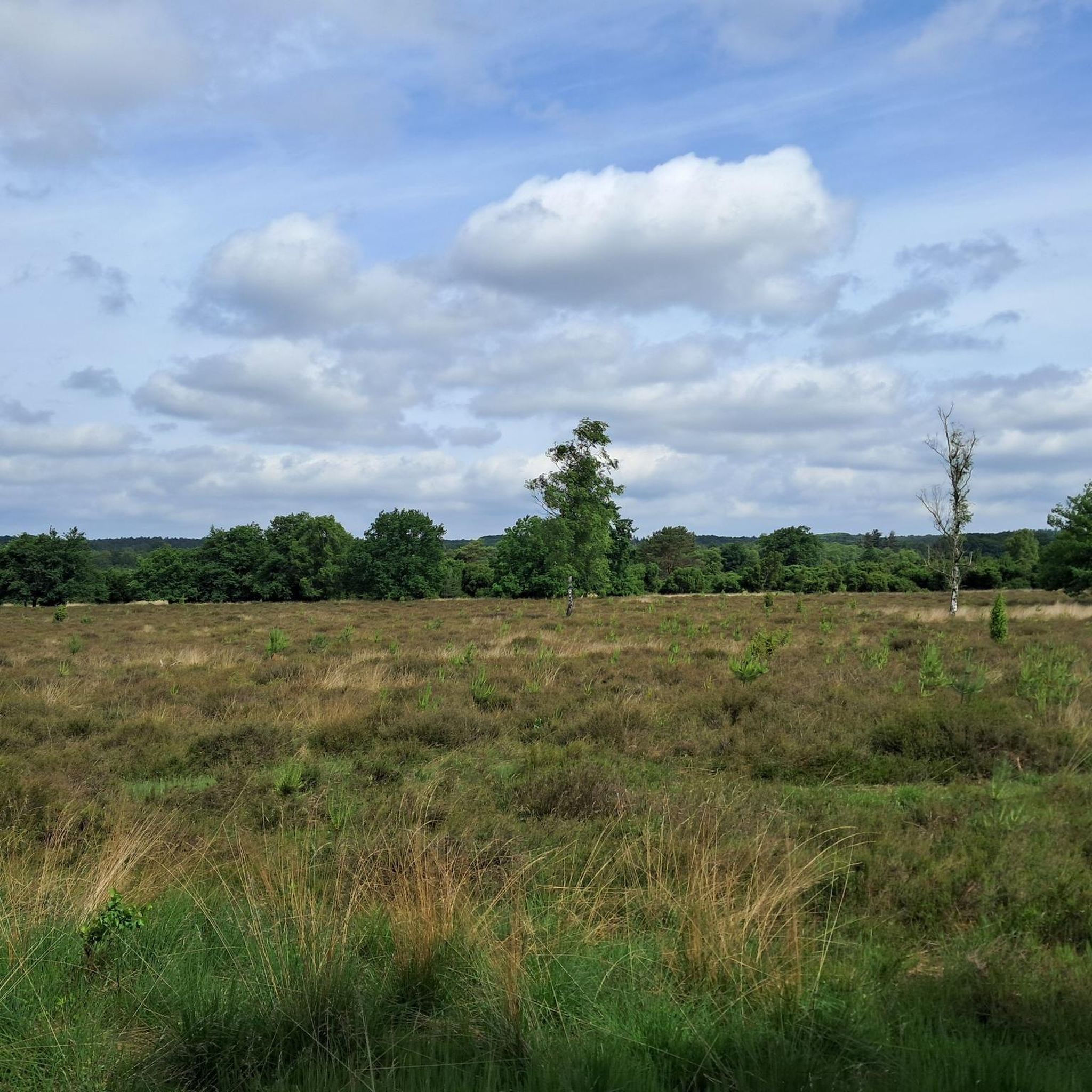
Idyllic meadows, beautiful views and quiet benches
0
0

I live about 3 km as the crow flies from the Lieserquelle. The Lieserpfad is a beautiful hiking trail with many panoramas and impressions. It also includes a path along the maars near Daun and Schalkenmehren. If the 3 stages are too long for you, you can divide the tour differently and make 4 or 5 stages out of it. The Maardorf Schalkenmehren has a lot to offer, especially the gastronomy here is particularly recommended.
7
0
Frequently Asked Questions
What kind of "canyons" can I expect around Oberstadtfeld?
Around Oberstadtfeld, the term "canyons" refers to the unique geological formations of the Vulkaneifel region. These include deep volcanic lakes known as maars, such as the Dauner Maare (Gemündener, Schalkenmehrener, and Weinfelder Maar), which are deep, circular depressions formed by explosive volcanic activity. You'll also find impressive stream valleys carved through the hilly, forested landscape, offering dramatic depressions and steep, forested slopes akin to traditional canyons.
Are there popular hiking trails that explore these canyon-like formations?
Yes, the region offers several beautiful hiking trails. The Lieserpfad Hiking Trail is highly recommended for its untouched nature and dreamlike rock paths along the Lieser. The Lieser Valley also features beautiful hiking areas, meandering through fantastic nature with many panoramas.
What are the best viewpoints to experience the dramatic landscapes?
For breathtaking panoramic views, visit the View of Gerolstein from the Munterley, which offers vistas over Gerolstein and the Kylltal from a 380-million-year-old Devonian reef. Additionally, the Dronke Tower on Mäuseberg provides a magnificent view over the Dauner Maare.
Are there any family-friendly activities or trails near the canyons?
Yes, the Gemündener Maar, one of the Dauner Maare, is particularly family-friendly. You can swim and rent boats there, and it features a forest café and a sunbathing area. Many circular hiking paths around the maars are suitable for families, and the View of Gerolstein from the Munterley is also categorized as family-friendly.
What unique geological features can I discover in this region?
The Vulkaneifel region is rich in geological wonders. You can explore the deep maars, which are volcanic lakes, and stand on a Devonian reef at the View of Gerolstein from the Munterley, formed 380 million years ago. Oberstadtfeld is also known among geologists for its varied fossils from marine deposits of the Lower Devonian period, showcasing remnants of ancient life forms.
Can I explore caves in the area?
Yes, you can visit Martins Cave. It's described as an exciting cave with a slightly larger space inside, featuring benches, and is sometimes used for devotions. Remember to bring a flashlight for exploration.
Are there cycling opportunities near the canyon-like areas?
Absolutely. The Maare-Mosel cycle path is a well-known route that passes through the volcanic landscape, including sections around the Dauner Maare. For more cycling options, you can explore the Road Cycling Routes around Oberstadtfeld guide, which includes routes like the 'Kyll Cycle Path near Lissingen'.
What other outdoor activities are available around Oberstadtfeld?
Beyond hiking and cycling, the region offers various outdoor activities. You can find numerous options for Hiking around Oberstadtfeld, including easy loops like 'Kleine Kyll Wooden Bridge loop from Oberstadtfeld'. There are also dedicated Running Trails around Oberstadtfeld, such as the 'Running loop from Neroth'.
What do visitors enjoy most about the canyon-like areas near Oberstadtfeld?
Visitors frequently praise the untouched nature and beautiful landscapes. They appreciate the dramatic views from various viewpoints, the unique geological insights offered by the maars and ancient reefs, and the peaceful atmosphere of trails like the Lieserpfad. The variety of hiking opportunities and the chance to explore both volcanic formations and serene river valleys are also highly valued.
Is there a specific time of year that is best to visit the canyons around Oberstadtfeld?
While the region is beautiful year-round, spring and autumn are particularly popular for hiking due to milder temperatures and vibrant foliage. Summer offers opportunities for swimming in the maars. Winter hiking is also possible, though some paths might require more caution due to conditions.
Are there any circular walks that explore the canyon-like features?
Yes, there are circular hiking paths around the Dauner Maare that allow for comprehensive exploration of these volcanic depressions. Additionally, the Lieser Valley features circular paths, such as the 'Alte Eiche' circular path, which passes through idyllic meadows and offers beautiful views along the Lieser.
Most popular routes around Oberstadtfeld
Most popular attractions around Oberstadtfeld

Get inspired with the komoot mobile app


Explore more
Already discovered everything in this region? See additional gorges around Oberstadtfeld for your next adventure:
